
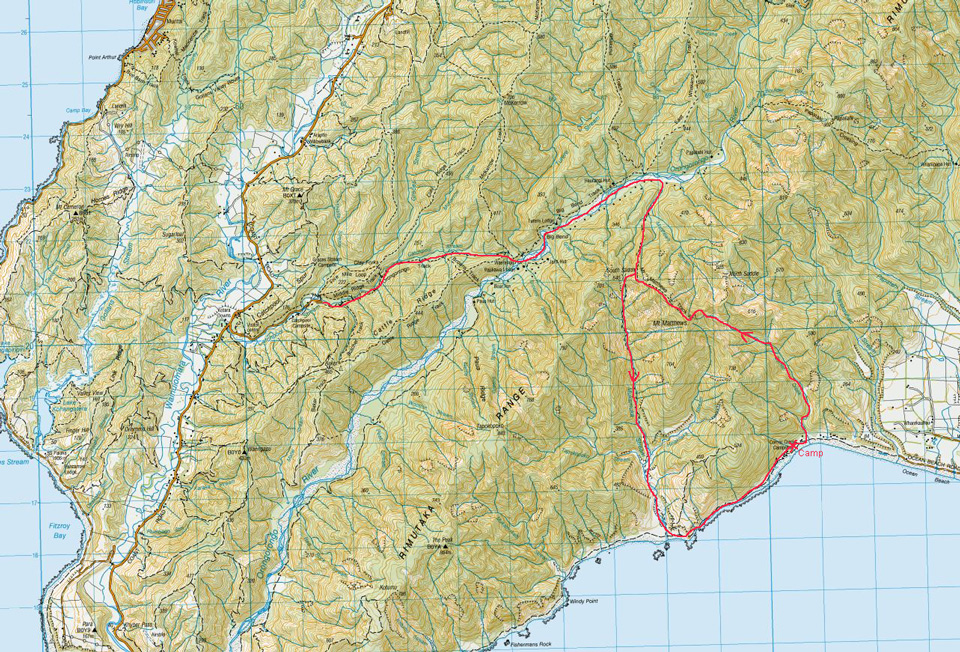
Leave the Catchpool Carpark at a leisurely 10:00 am Saturday morning. Wander through to the Orongorongo River – always pleasant no matter how often you go. Climb up to South Saddle and try to avoid being blown off the ridge in the north-west gale. Scurry down into the Mukamuka to find a sheltered spot for lunch.
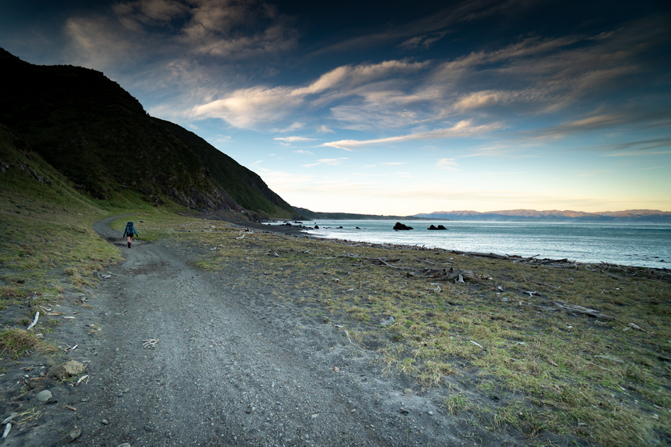
Carry on down to the coast – again try to avoid being blown off your feet by the powerful gusts blowing down the valley.
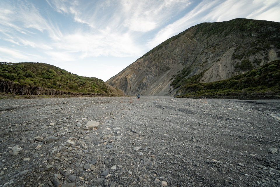
Then head north around the coast on the 4WD track while being exfoliated with the sand and gravel blasting by in the wind.
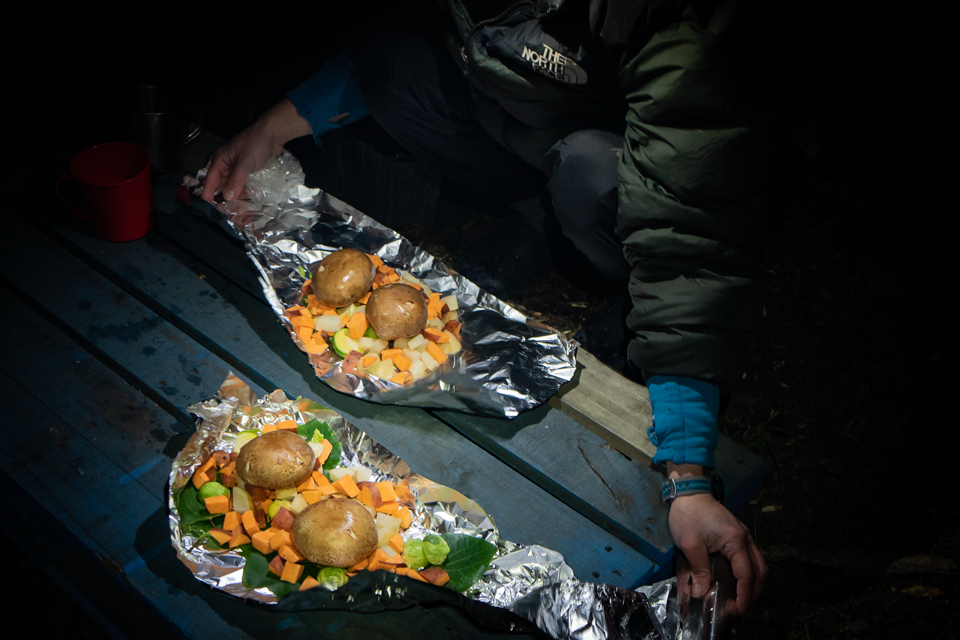
Arrive at the DOC Corner Creek campsite and look for the most sheltered place to camp. Light the fire and sit down with a cup of tea. Cut up the vegetables and together with some of Megan’s ultra-delicious meatballs wrap the lot in foil and lay on the hot coals.
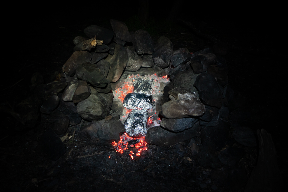
Sit back and chat for 30 minutes and – voila – no stirring needed. Mucho delicious.
Toast some marshmallows with caramel filled biscuits before crawling into your bivvy bag under a sky filled with a myriad bright stars.
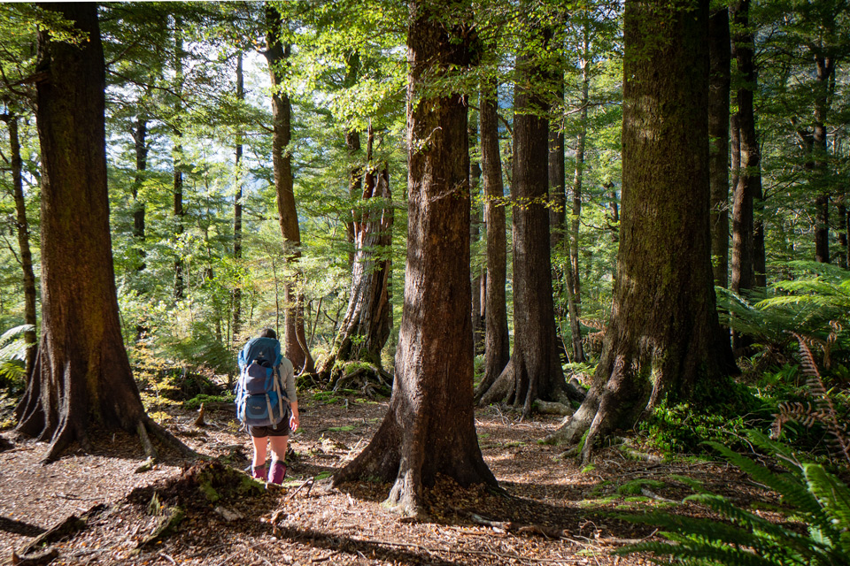
Wake in the morning. Realise that there is no wind and the trees are no longer thrashing about. Breakfast. Wander off to Corner Creek.
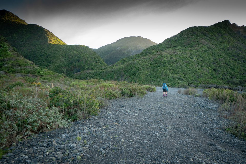
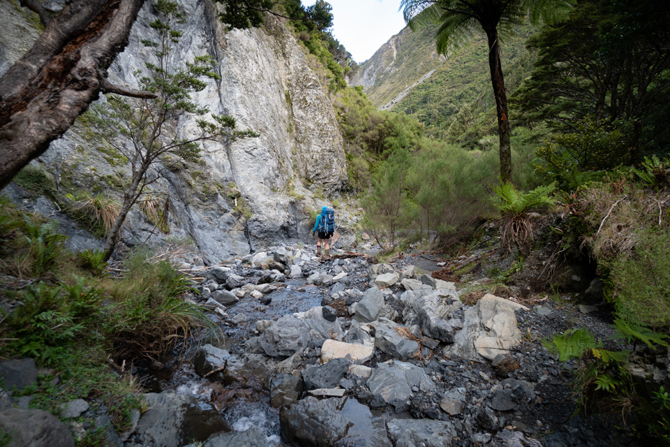
Start up the creek which is (unsurprisingly) just like a mini Mukamuka to start with. Lots of debris but for the first couple of hours easy travel.
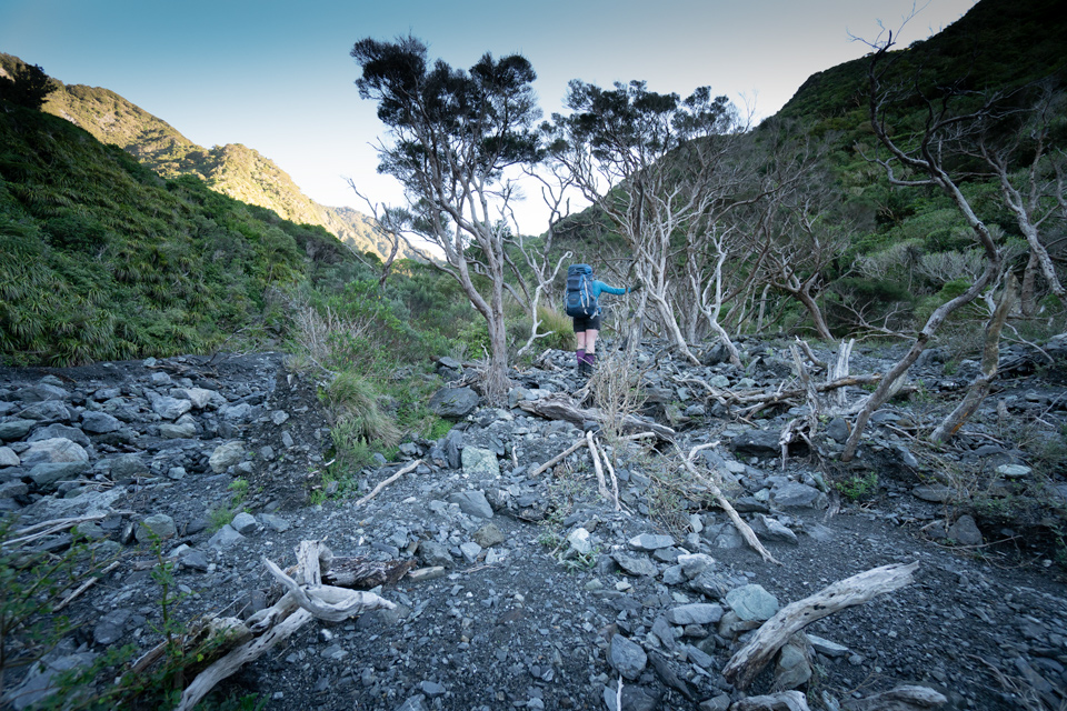
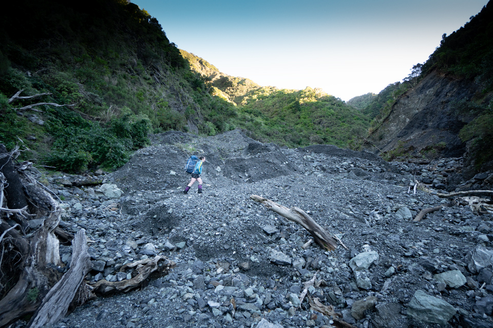
The valley gradually steepens and narrows but there are no difficulties.
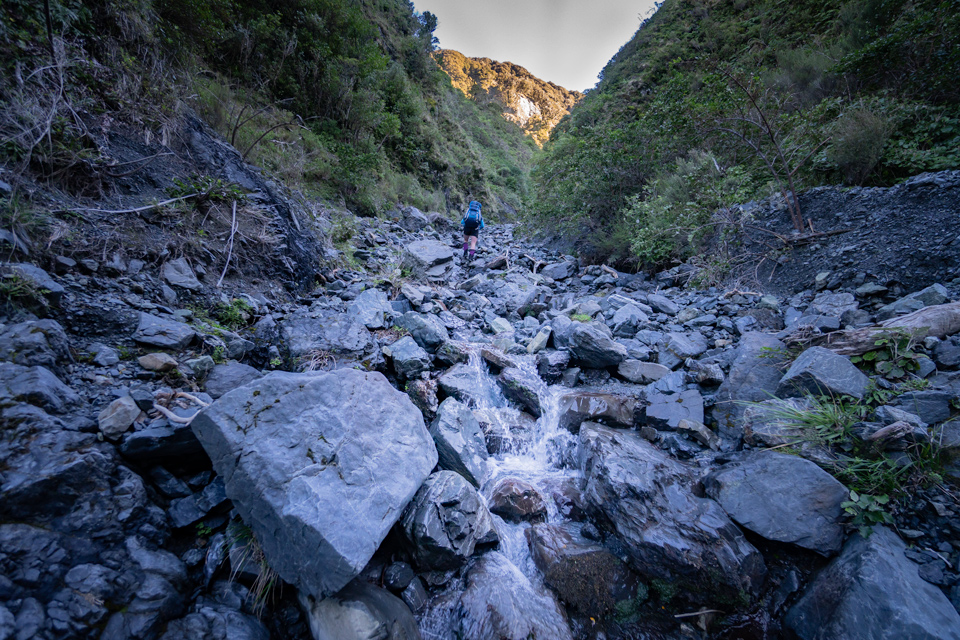
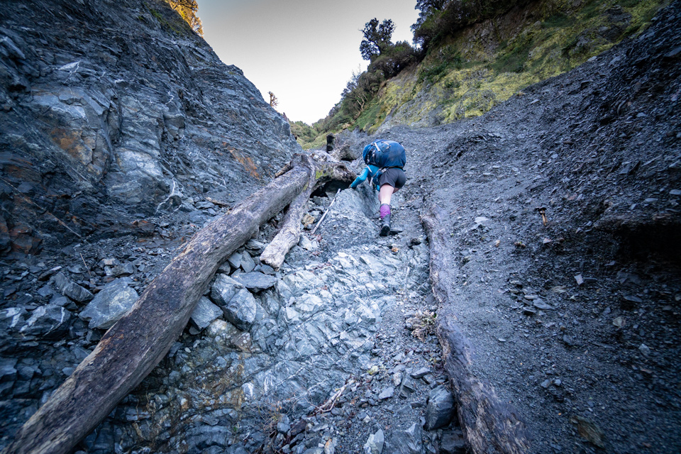
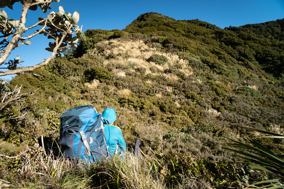
At about 600 m altitude the valley steepens dramatically. Head for a small saddle in the main ridge about 500 m east of Mt Matthews. There are a couple of obvious routes: one up the stream; the other up the grass on the true left. If there are two of you then you can even disagree on the better route and each go their own way. One of you will find it fairly straightforward up the stream while the other will end up on steep grass with dodgy footholds and even dodgier handholds.
Eventually you will meet up again and traverse through some scrub and onto a bush covered rib. Then it is easy to the main Remutaka Range.
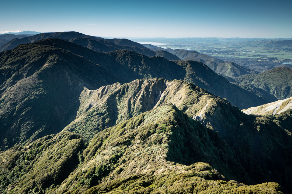
Then climb west towards the summit of Mt Matthews. Part way along you can look down into the top of Corner Creek and remind yourself that there is some steep rugged country hereabouts (Corner Creek drops into the gloom at the bottom right of the photo below).
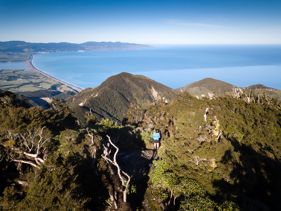
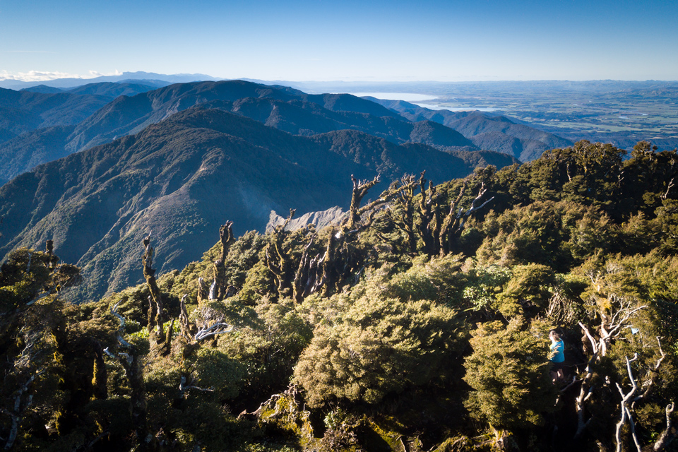
Follow the handy trapper’s (?) track to the summit of Mt Matthews and enjoy the view on a bluebird afternoon.

Eventually leave and head down the often trod track back to the valley and through the Orongorongo Track as it gets dark.

A short drive home completes another weekend in unusual country right at our back doorstep.
Wow awesome trip. How many hours each day did you walk?
I don’t have the times recorded but from memory they would be something like:
Day 1 relatively easy 6 hrs
Day 2 about 8 hrs although we spent a long time enjoying the sun and view from Matthews.
It’s a fun trip. If you are interested they are other 2-day trips around Matthews at:
https://wtmc.org.nz/forums/topic/mt-matthews-trip-reports-2/