
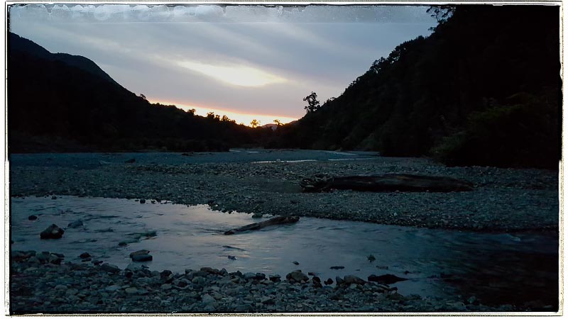
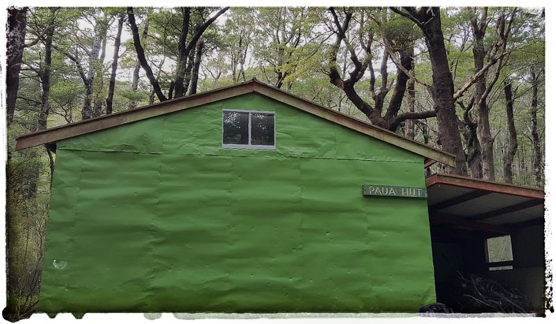
On Friday night we walked into Paua Hut with Tony S’s Mt Matthews group. Their group had fun practicing a linked up river crossing in the Orongorongo River while our group zoomed on towards Paua hut to see how far we could get without using our headlamps. Finding the toilet at Paua hut that night seemed to cause a lot of confusion amongst the Mt Matthews group. One person went out to the toilet and came back 10 minutes later still having not found it and asking for directions. The next few people had the same problem. While being quite entertaining, I could totally understand as there have been a number of huts where trying to locate the toilet in the dark is a bit of a mission – sometimes, even just finding it in daylight can be difficult!
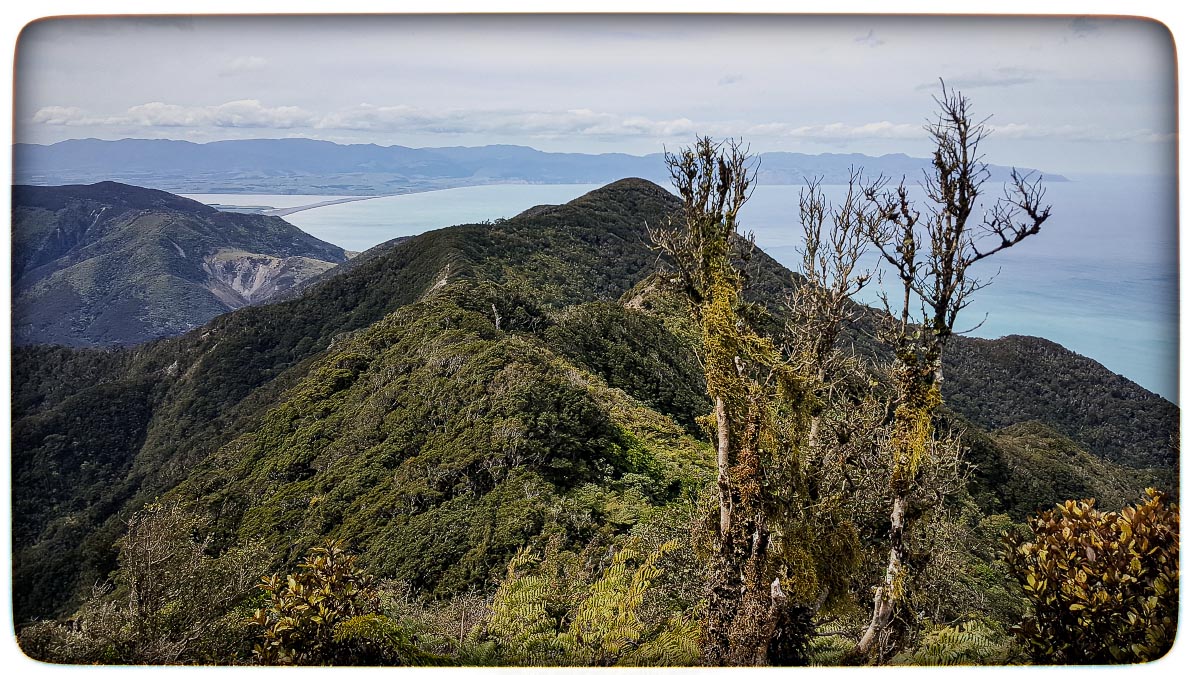
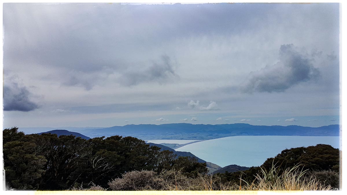
On Saturday morning we waved good-bye to the Mt Matthews group but also said they might just see us back again. We made good time up Paua Ridge – there was a real surplus of pink bait-line markers up the ridge – it was marked better than most DoC tracks! On Tapokopoko at 843m there was a cold spring wind blowing through so we all put more layers on – a contrast to my trip down South with Tony the previous weekend on the Leatham-Molesworth Circuit (see the trip report here)
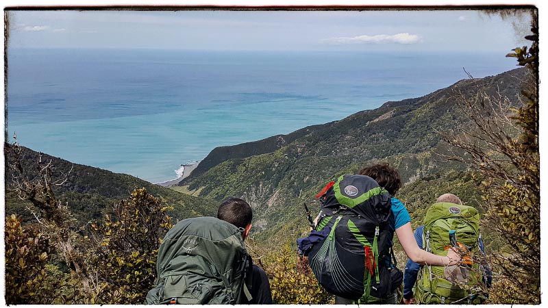
From here we slowed down significantly as we were off track and now had to use map and compass. We were aiming towards pt 645 but as we progressed down the ridge we were making really slow progress – less than 1km/hr and the bush that we were pushing through and crawling under was pretty thick, plus the terrain was so steep in some areas that we basically had to simply sit down and slide down – on a tramp a few weeks later I found Maj-Britt termed this as “slippage”. Looking down the ridge towards pt 645 we made the call to turn back as we could see that we weren’t going to make Corner Creek that night and camping on the ridgeline without water didn’t sound that appealing.
We backtracked to Paua Hut to surprise the Mt Matthews group who turned up an hour later after managing to hitch a ride back down the valley to Paua Hut with a DoC trapping group We had a fun night at the hut with our group stealing the leftovers from their group as they had a pretty flash dinner of pad thai and custard with fruit crumble since they only needed to take daypacks up Mt Matthews. Interestingly, our moving time for the day was only 4.5 hours but our elapsed time was 7.5 hours – quite a difference!
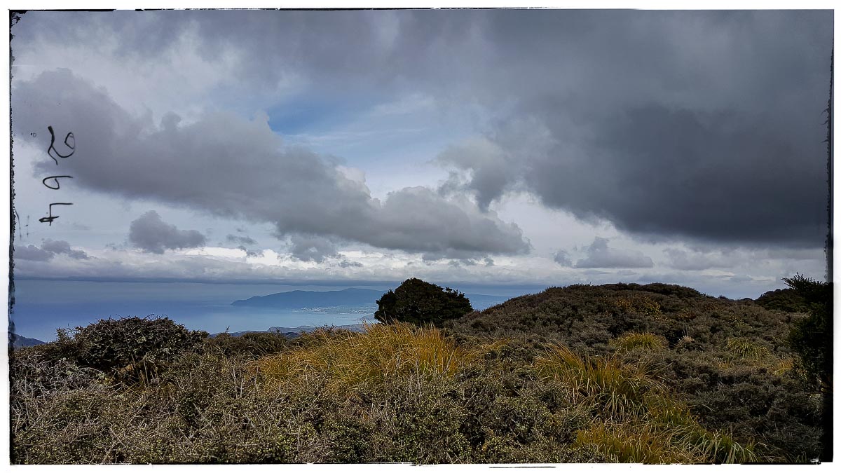
On Sunday, we all walked back out via Cattle Ridge.
I think everyone in our group will watch any progress on this nav route with interest.
Stats from Sarah’s watch
Friday:
Distance – 6.4km
Elevation – 190m
Moving time – 1.5h
Saturday:
Distance – 10.4km
Elevation – 1,034m
Moving time – 4.5h
Elapsed time – 7.5h! (quite a difference to our actual moving time!)
Sunday
Distance – 7km
Elevation – 464m
Moving time – 1.75h