Tagged: Sarah Fisher, Tararua Range, Winchcombe Biv
- This topic has 0 replies, 1 voice, and was last updated 4 years, 2 months ago by Tony Gazley.
-
AuthorPosts
-
-
Tony GazleyMember
Rising from the ashes:
Totara Flats Neill – Winchcombe loop
A novel by Sarah Fisher
by Sarah Fisher
Any resemblance to actual places or real people is purely coincidental
Chapter 1 Totara Flats
Like a phoenix rising from the ashes—a few old totara stumps on Totara Flats are the only reminder that the flats as we know them now didn’t always exist this way, and the geology of the Tararua Range near there changed dramatically a few hundred years ago.
Tony and I were on four-day tramp in the Tararua Range—it wasn’t quite the tramp to Jam Hut we had planned but we were both feeling glad just to be out tramping again after lockdown. I had annual leave and I was now on Plan E—due to Auckland and Waikato lock-downs and a cancelled ferry the day before meant no Kaikoura Range trip to Jam Hut.
One of my colleagues had said to me maybe it just wasn’t meant to be, but no way! I would keep adjusting the plan even if I had to run through the entire length of the alphabet! Tony and I formed plan E and the next day we were off.
We decided to have a lazy start to avoid the rain and started out in the early afternoon from Holdsworth Road end for Totara Flats. At Rocky Lookout we were surprised to see all the snow on the tops. That was unexpected! We had been up in Arete Hut in mid-July and there was not a single bit of snow! Now in October the tops were coated in quite thick snow! ‘Maybe I should have packed my new micro spikes’, I wondered aloud to Tony.
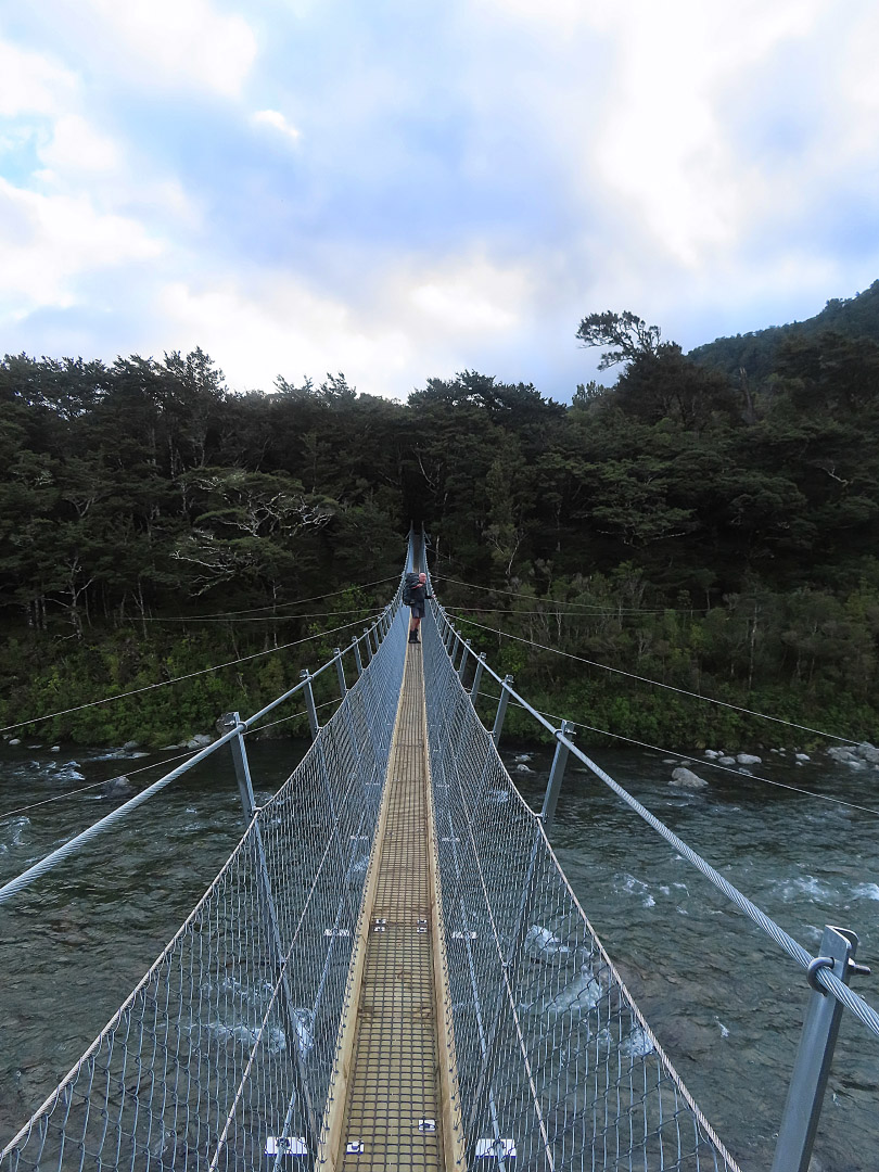
We got another surprise when we got to Totara Flats and saw the brand-new bridge across the Waiohine River to replace the old wire swing bridge that used to be quite the experience in high winds. Walking across the new bridge you would not have even known you were on a bridge. It is certainly an impressive feat of engineering.
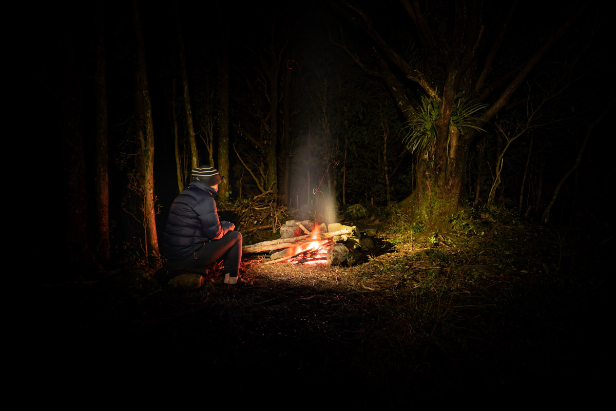
We stopped off at Totara Flats hut to sign in the intentions book and then continued on to the flats to go to Tony’s secret camping spot amongst the totara trees, picking up some old manuka branches along the way to start a campfire.
As we wandered along Totara Flats I noticed some old weathered totara stumps and Tony told me about the fascinating geology that had caused these stumps to be there. The Wellington Fault runs immediately behind the flats and carries on right through the Tararua Range.
About 400 years ago there was a big earthquake on the Tararua segment of the fault that caused massive landslides that buried the forest and everything in its path. It created the current Totara Flats as we now know it. If you dug for a few metres under the soil at Totara Flats you would find a whole forest of old tree stumps.
I also nearly fell down a large hole on the flats—a hole that looked a bit like a mine shaft but these are actually from old buried trees that have rotted away with time. It’s fascinating when you think about how much our natural world can change around us and how something else can be created from it all—a bit like a phoenix rising from the ashes.
But more importantly this interesting geology made me appreciate our natural world even more and was a good reminder that we shouldn’t take it for granted.
Distance 12.3km, elevation 580m, moving time 3h47m.
Chapter 2 Along the Ridge
The next morning started with a good climb up past Totara Flats Hut onto Cone Ridge. As we wandered along Cone Ridge towards Cone summit snow started making a regular appearance that just added to the beauty of the goblin forest up there. The tarns at Cone were surrounded by snow which made them a lovely sight and I enjoyed seeing them on a clear day as last time I went past them it was pretty claggy.
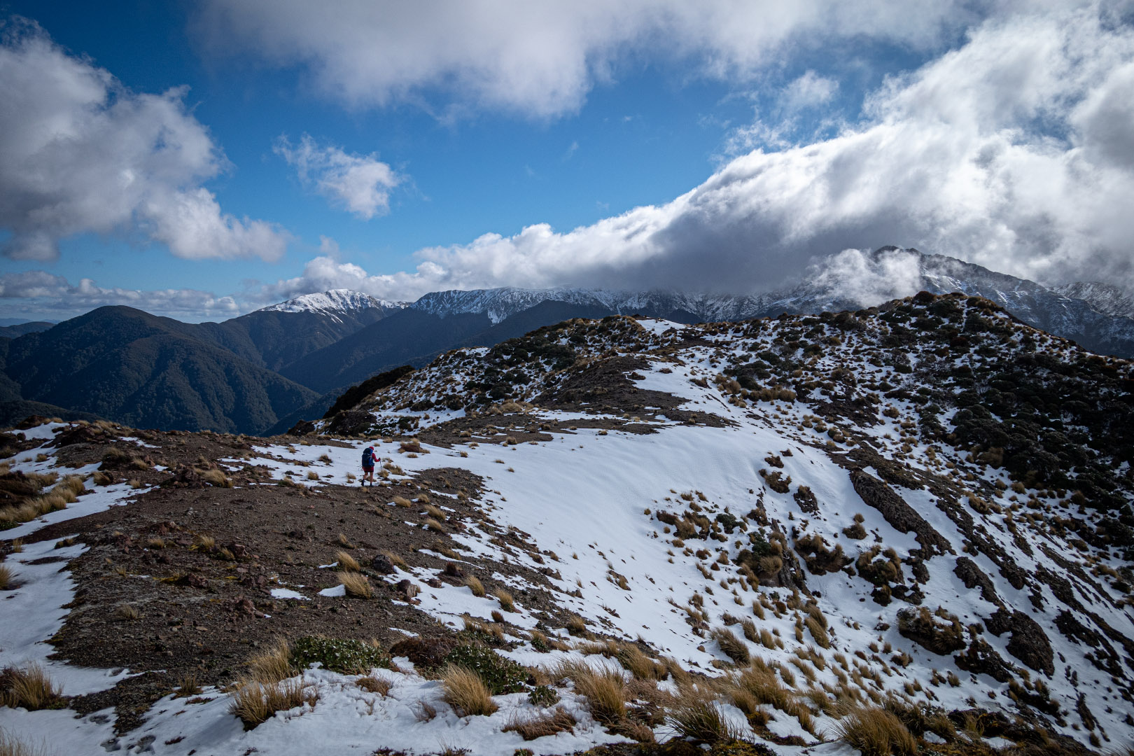
We still had a good way to go and a fair bit of climbing along Neill Ridge so we didn’t hang around too long on Cone. There were a few steep technical sections on the way to Neill at 1158m. The goblin forest up there was amazing—very Dr Seuss-like especially with the late afternoon sun shining through.
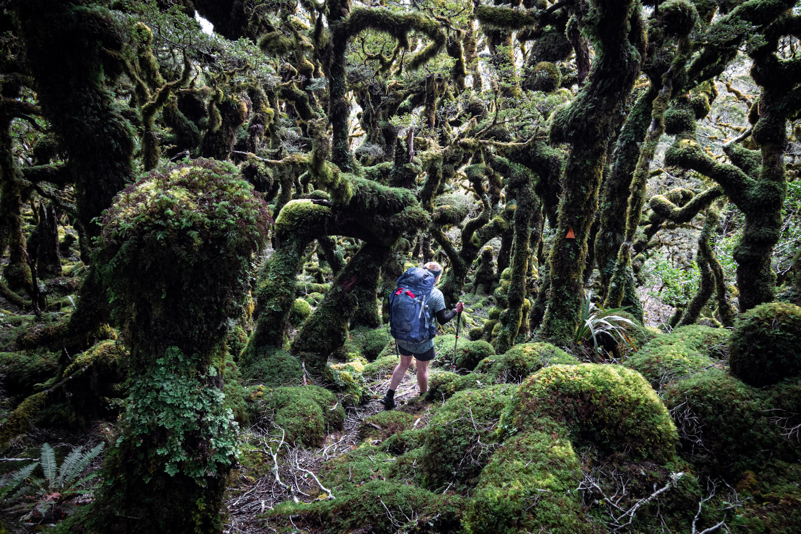
I also found some very young dracophyllum that I got very excited about as I had never seen any so young before. On making it to Neill peak we found knee-deep snow in places which sometimes hid some sneaky leatherwood that had my gaiterless legs causing me to groan in pain when I fell into it.
Emily, who had visited the new Winchcombe Biv just after its installation at the end of April, had told us that it was right at the bush edge. As we walked along the ridge I could see we were quickly running out of bush yet I still couldn’t see the biv! That was when I started teasing Tony that maybe our aliens had returned from our Mt Matthews trip and stolen the biv from us and plonked it somewhere else—maybe down by Jam Hut in the Kaikoura Range since we were meant to be there!
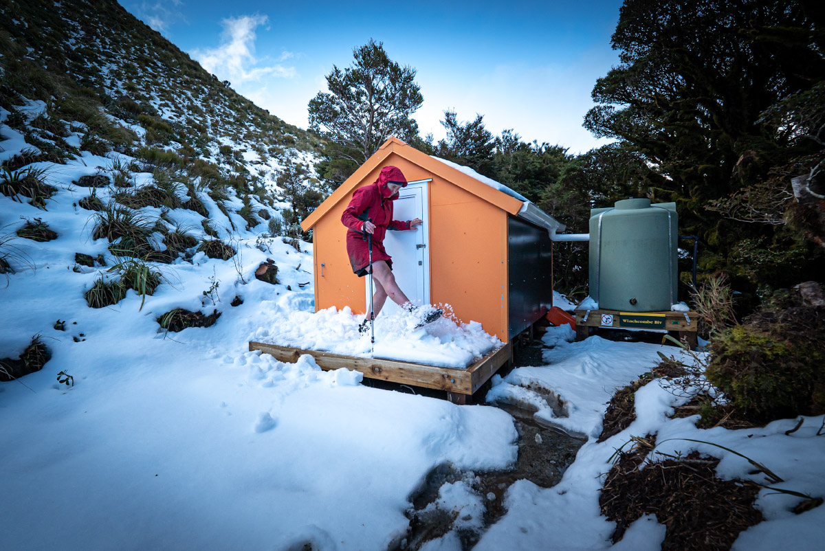
Eventually we did run out of bush but came to the new DoC junction sign showing that the Bivvy was just 30 metres away, south of the ridgeline. You could just see a bit of orange peeking out from behind the trees. I was super excited to finally have made it because it would be my first night in a biv in the old ‘dogbox’ style. The original Winchcombe Bivvy was removed 35 years ago and the new biv is in the style and on the site of the original.
It was built by the ex NZFS team with funding by Backcountry Trust. Like Totara Flats, the new biv had risen like a phoenix from the ashes. The Backcountry Trust does absolutely amazing work preserving New Zealand’s rich backcountry heritage by maintaining and renovating a number of huts each year, all through volunteer work—a number of huts in the Ruahine Range have also been their projects this year.

The biv was surrounded by snow which made the whole scene absolutely delightful and I was even more excited when we discovered that to get into the biv I would have to dig out the door from snow. Cue lots of photos before we even opened the door!
To put the size of the biv in perspective, we could not stand up properly inside it and there was just enough room for two mattresses on the floor. It had a little pull down table to cook dinner on that I made good use of that night. I was well and truly charmed by it all.
Distance 13.7k, elevation 1,365m, moving time 5.5h.
Chapter 3 The oldest hut
The next morning we woke to gale force winds—we immediately knew that heading up towards Winchcombe and around to Maungahuka Hut was off the cards. We had fun eating our breakfast in bed—quite a novelty. I could even put the water on to boil while staying in my sleeping bag. I was starting to wonder how I would even get moving with all this laziness!
I did eventually get myself out of my sleeping bed but then accidentally locked Tony in the hut when I wandered outside. I slid the bolt home on the door to stop it blowing in the wind and had completely forgotten it was not a double-sided bolt (my reputation for having done this before once or twice well and truly precedes me amongst some club members!). Luckily, I rescued Tony just before he had to start thinking about climbing out the window.
Climbing back up to the ridgeline to go back down Neill Ridge towards Cone we got hit by the full force of the wind. It was like a plane going off up there and we were glad to get into the shelter of the trees.
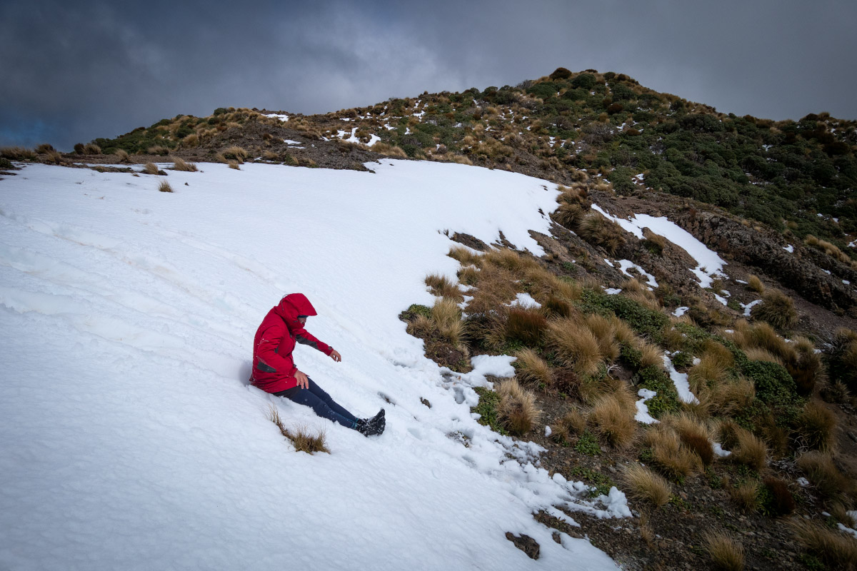
Up on Neill it didn’t seem to be getting the full force of the wind and since we had a bit more time today I had a fun play in the snow up there—snow slides and snow angels. It was a good thing I did that as when we got to Cone all the snow from the day before had gone! Despite the wind we still had a clear view down to the Wairarapa but we could see it was claggy and miserable up on the Main Range.
On our descent down Cone I found myself a big clump of goblin moss that had been blown clear off a tree in the high winds. Much to the amusement of Tony I thought I could refashion it as a hat and see how far I could get down the hill towards Cone Saddle without it falling off.
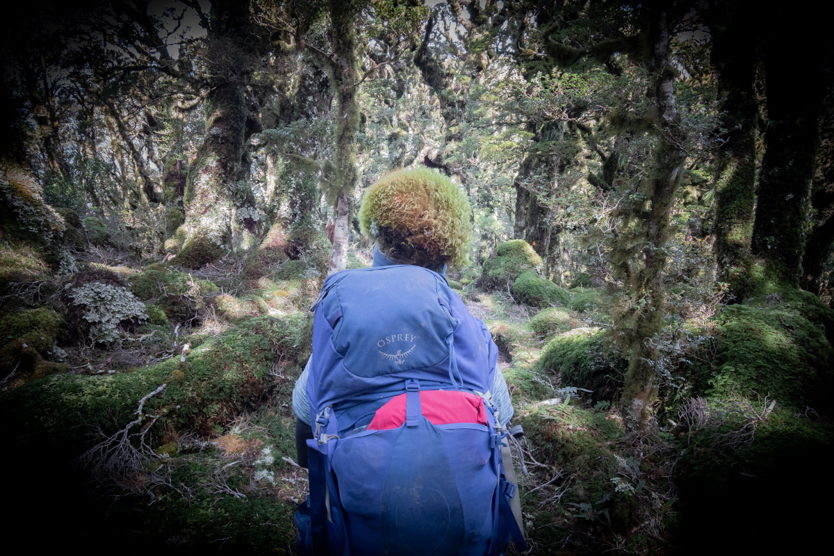
At Cone Saddle we turned up the Cone Saddle Track. It had been a while since either of us had done this track, and although there were a few reroutes around tree-fall but it was all easily negotiable.
After crossing Makaka Creek and heading down towards Totara Flats again Tony and I had bets on whether Sayer Hut would be occupied. Tony thought it was highly unlikely but I thought there was a good chance there would be someone else there.
After crossing the Waiohine River Tony was looking for the track to Sayer Hut on the other side of the river but I took him over to Sayer Creek as when I had been there a number of years ago I had remembered there was a track down to the creek from the hut. Much to my surprise my memory was correct and the track was still there. And Tony was right—no one was home in Sayer Hut.
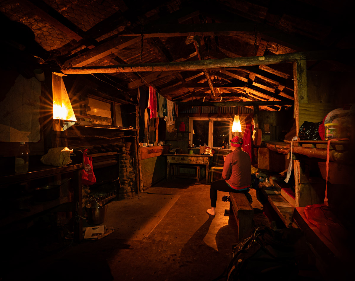
Again, this hut is steeped in history and full of character with its exterior covered in random signs. It is actually the oldest hut in the Tararua Range, having been built in 1909 by Richard Sayer, and pre-dates both Cone and Field Hut which surprises many people.
Richard Sayer also tried introducing hens onto Totara Flats so passers-by could have an ever-present source of food while out in the bush but unfortunately they didn’t think about the small problem of actually finding the hens’ eggs in a place like the Tararua Range!
Distance 17.7k, elevation 928m, moving time 7h.
Chapter 4 The picnic
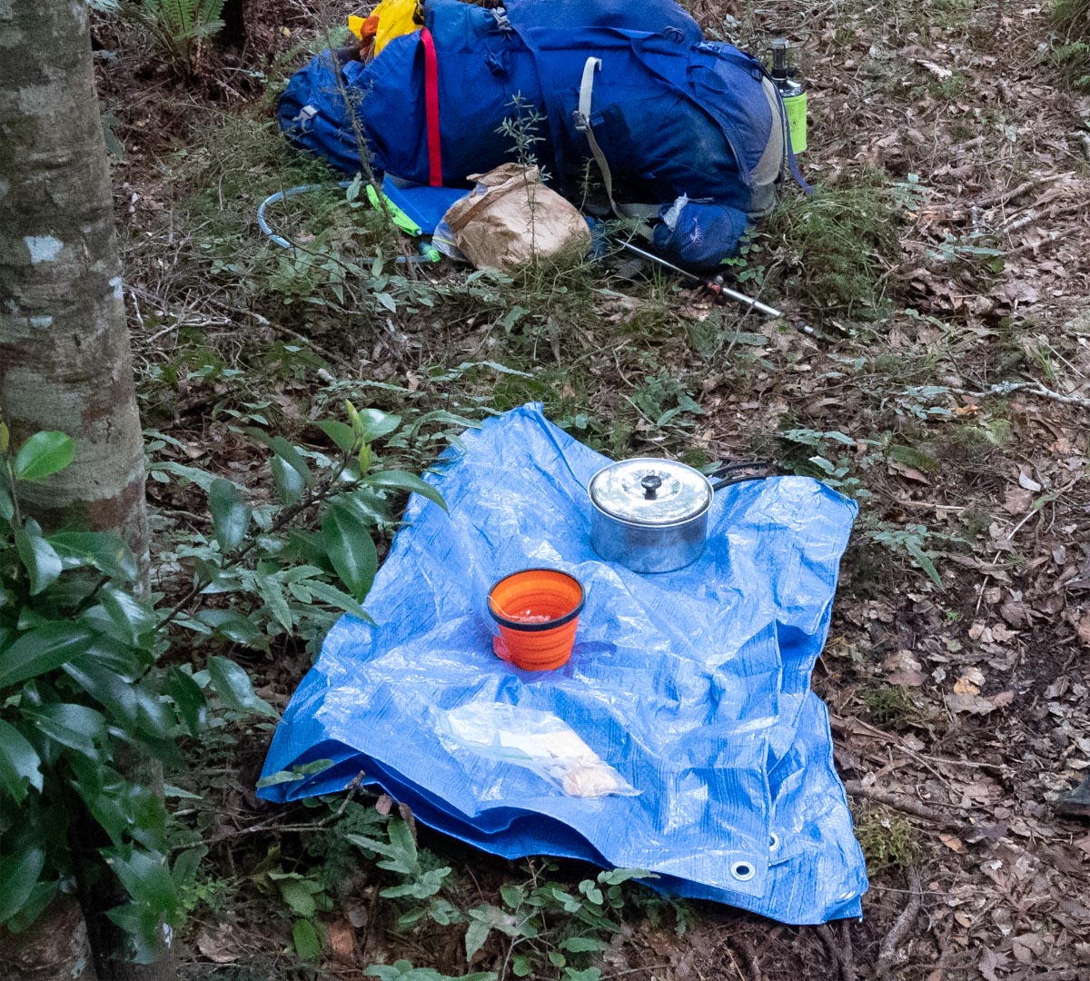
On our final day the weather forecast had been for rain but that luckily didn’t come until later in the day and it didn’t come to much anyway so we had no problems getting back across the river. We had a good climb out of Totara Flats back up to the Gentle Annie Track so we both agreed we would walk at our own pace and this gave me the opportunity to put my plan into action since I was ahead.
Tony had earlier made a comment about how in the good old days on club trips they would stop for morning tea and would always boil a billy for a hot drink. Challenge accepted! To Tony’s surprise I had a ‘Welcome to spot height 575’ picnic waiting for him complete with a cup of hot tea and some chocolates when he turned up.
There was a last-minute bit of panic as I misplaced the tea bag momentarily but luckily there was a tree over the track to slow Tony down that gave me just enough time to put the finishing touches on the picnic.
From the junction it was an easy and quick walk down the Gentle Annie track to the car. We had a last surprise in seeing how many people had signed in the intentions book since we had signed in four days ago—two pages of names with the majority of people heading towards the Powell or Atiwhakatu Huts.
Distance 14k, elevation 886m, moving time 4h11m.
You may also be interested in some other related Tararua stories from the same publisher:
Totara Flats 101. The story of how the present flats came to be.
Some faults in the Tararuas. Why do the eastern rivers kink to run north to south for 7 km?
Bernie’s trip in the Tararuas. A wander up the Neill Winchcombe Ridge.
Sayer Hut. The oldest hut in the Tararua Range.
-
-
AuthorPosts
