Day 1
Cobb Hut to Fenella Hut (with a side trip from Fenella Hut back to Lake Cobb)
Total time: 6 hours, 20 minutes
Total moving time: 4 hours, 45 minutes
Distance: 18.9km
After packing up at the Motueka Top Ten after four hours of sleep we all jumped in the van and drove the two and a half hours to Trilobite Hut. Luckily Megan managed to handle the hire van down a very narrow dirt road with ease.
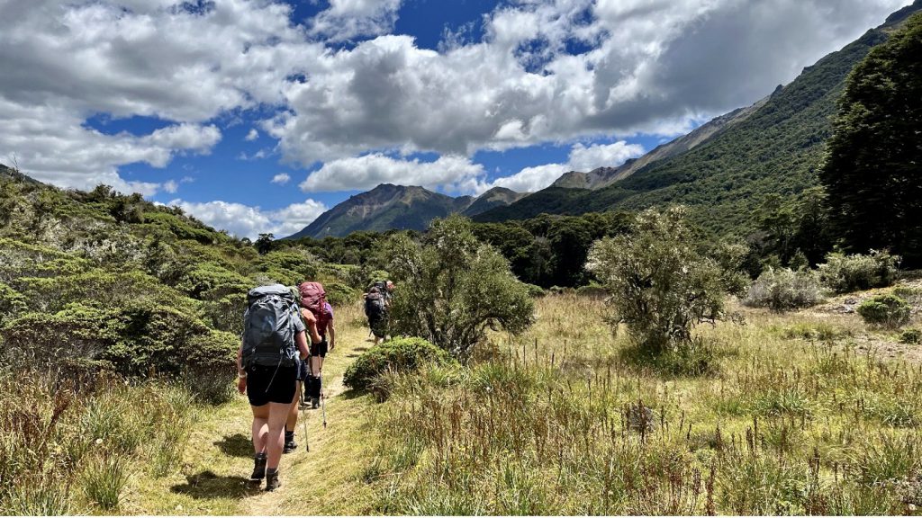
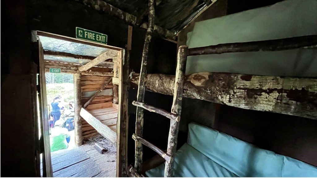
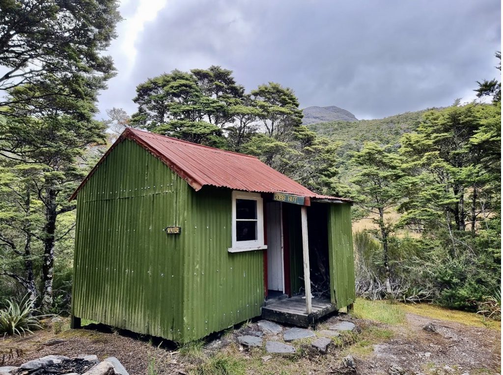
We walked at a reasonable pace along the easy track on the very pleasant Cobb River valley as the weather became less sunny and more overcast, stopping at some interesting historic camps, including Chaffey Hut, Tent Camp and Cobb Hut. Chaffey Hut had a convenient picnic table for lunch.
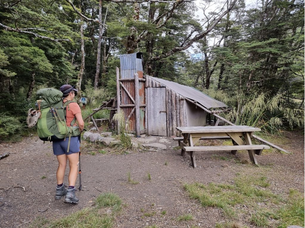
The track is relatively flat until right at the end, where there is a reasonably gentle climb to Fenella Hut, with the steepest part shown in the photo below.
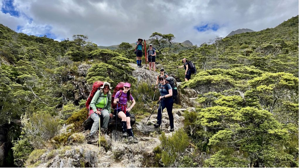
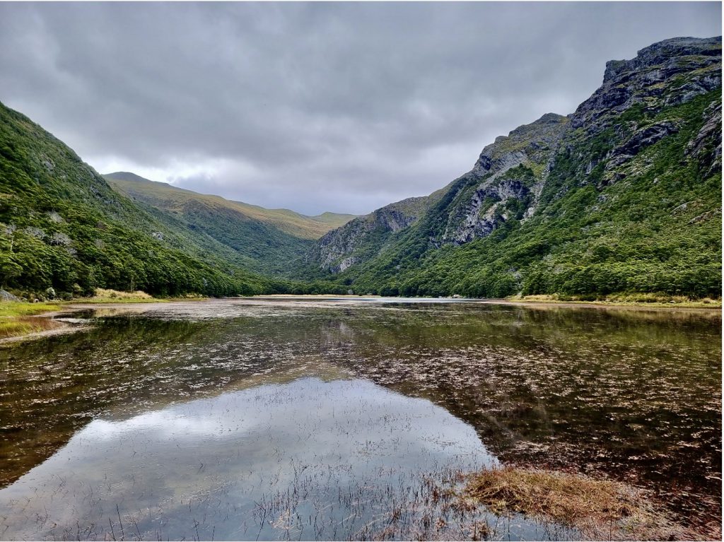
After arriving at the very comfortable Fenella Hut (with a beautiful stained glass toilet window) we dropped our packs, had a snack and everyone but Ashleigh (who had a sore ankle) headed out again back to Cobb Hut to take the side trip to the picturesque Lake Cobb. Daniel, Cate and Milly tried to be more adventurous and head further up to Round Lake, but lost the track on the Western side of Lake Cobb.
Day 2
Total time: 11 hours 30 minutes
Total moving time: 5 hours
Distance: 15 km
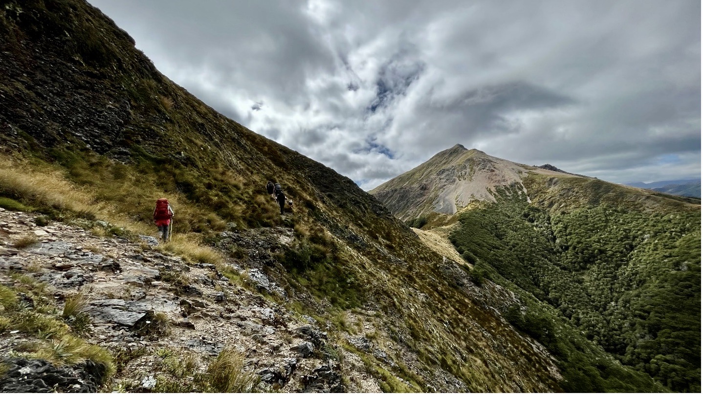
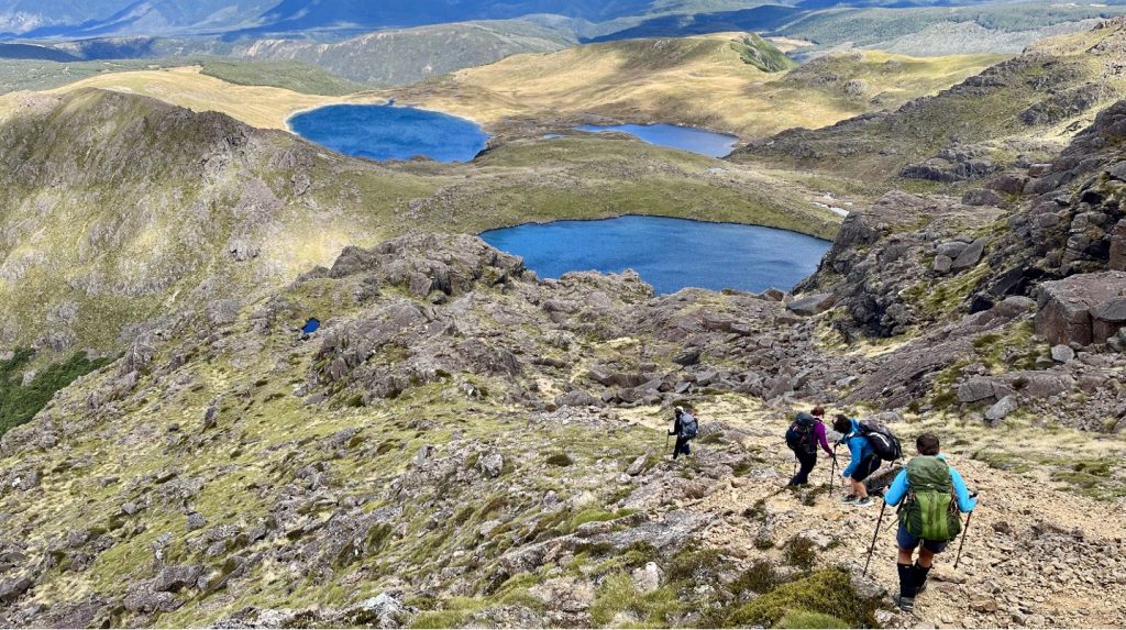
We started the day with a climb along the Waingaro Peak Track, which is marked with orange markers and cairns, before getting to the ridge line and enjoying the magnificent views over the valley, Lake Cobb and Round Lake.

From the ridgeline it was a case of trying to find the best way to walk along the unmarked track, with tracks appearing and disappearing constantly. Eventually we put Cindy in charge of route-finding, which she did with ease.
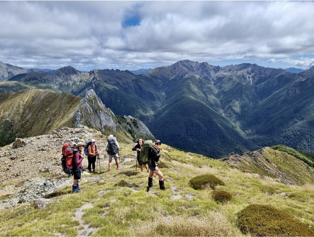
After traipsing around a steep edge on a narrow goat track we got to our first bit of scree to cross, which looked a lot scarier than it actually was. Little did we know that the walk was going to get a lot more technical from that point. We scaled to the top of the scree and headed along the northern side of the ridge, as it seemed grassier and less steep. We followed the rocks along the tops until we got ‘bluffed out’ and had to cross a rocky slip to continue back to the ridgeline. This took most of us 45 minutes or so (partly to work out the safest route, and partly to work up the courage) whereas Milly continued easily along the rocks and waited for us for the next half hour or so.
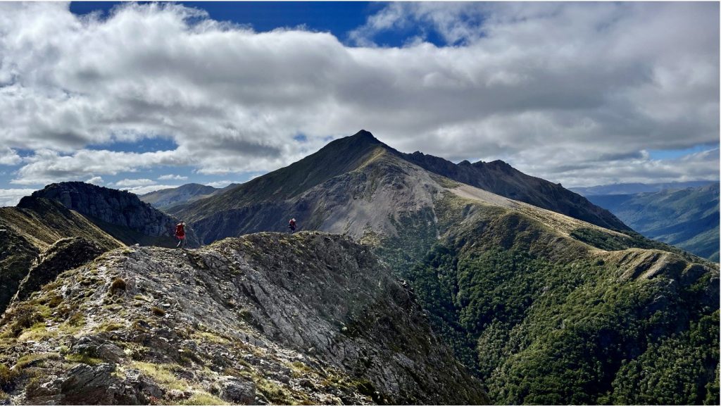
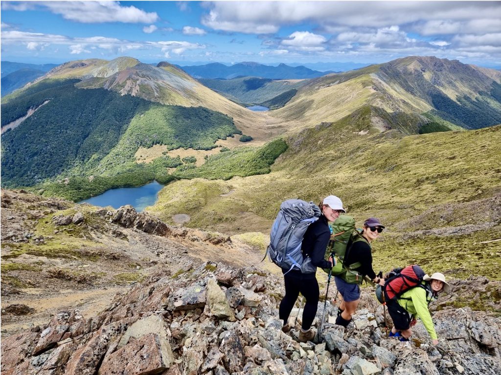
The walk continued to be a bit of a rock scramble, but gave us very beautiful views the whole time. Unfortunately, the technical nature of the walk meant that we were constantly stopping and starting, and when we got to lunch time after starting at 7.30am, we realised we weren’t quite half way.
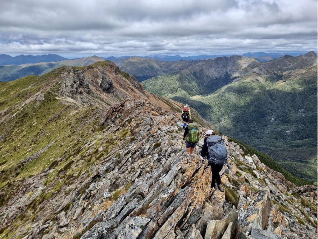
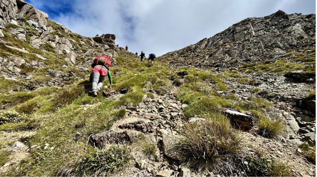
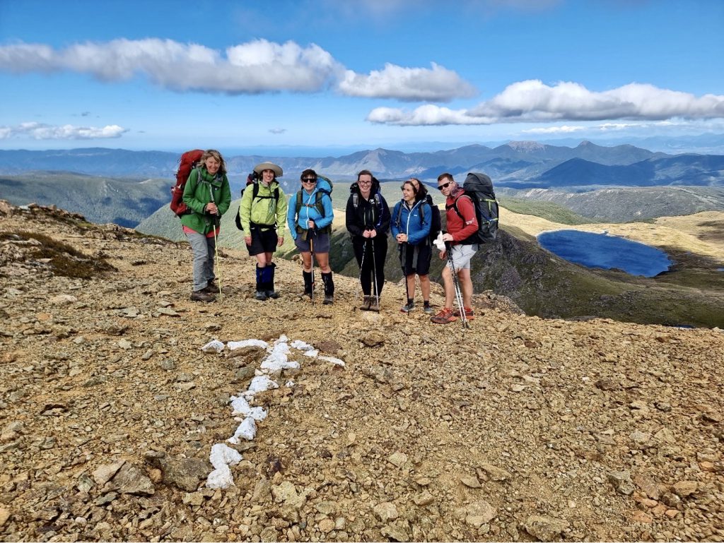
After a few more scary rock climbs we started to see bait traps and got quite excited that the walk was going to get easier. But they may have just been dropped by helicopters, or we were just fairly terrible at finding a safe route. At about 6pm, we reached a welcome sign of human intervention in the form of an arrow made out of white rocks. We continued along downward to the main track, passing the beautiful tarn and finally making it to back to a track and to the hut by 7pm.
Day 3
Sylvester Hut to Cobb Reservoir
Moving time: 1 hour, 7 minutes
Total time: 1 hour, 30 minutes
Distance: 5.2 km
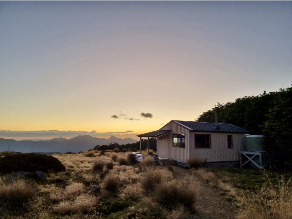
The walk out the next day was a pleasant 4wd track to the reservoir, where we waited for the other group to pick us up and we got eaten alive by sandflies. We jumped back in the van and made our way back to Picton, via lunch and a trip to the beach in Nelson, and eventually arrived back in Wellington late that evening.

