
Benmore Hut and Sugarloaf Summit Loop –
Korowai/Torlesse Tussocklands Park
The story of a day hike to Benmore Hut in the Korowai/Torlesse Tussocklands Park and then on to the summit of Sugarloaf, including a route map.
I had driven past Benmore Station a number of times and had also stumbled across a CTC trip report to Benmore Hut that made it seem like a nice easy and fairly short day walk that could be used when I didn’t have a full day.
Tony and I had just come off the Cass-Lagoon Saddle Track the day before and our flight home wasn’t until early evening so Tony dropped me off at the start of the track at the end of Benmore Road while he went to have a relaxing few hours over a pie and cup of coffee at the famous Sheffield Bakery—which was probably far more sensible.
The first 3km was on a muddy four-wheel drive with a few shallow river crossings before a single track with some overgrown gorse before the bush edge was reached. I found myself wandering through beech trees and clambering over the occasional fallen log. As I started to climb, I also found myself getting sucked into deep mud.
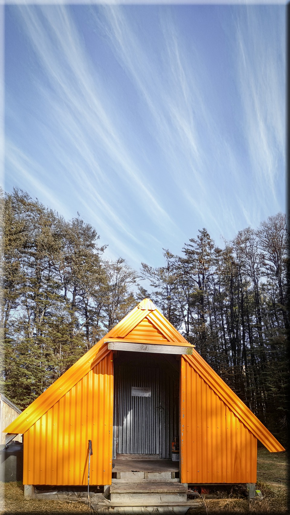
Benmore Hut came into view much more quickly than I expected—I hadn’t really noticed the climb. At the hut I found the only occupant had left their overnight gear to explore the foot trail behind the hut that led up to Pt 1444 and Benmore.
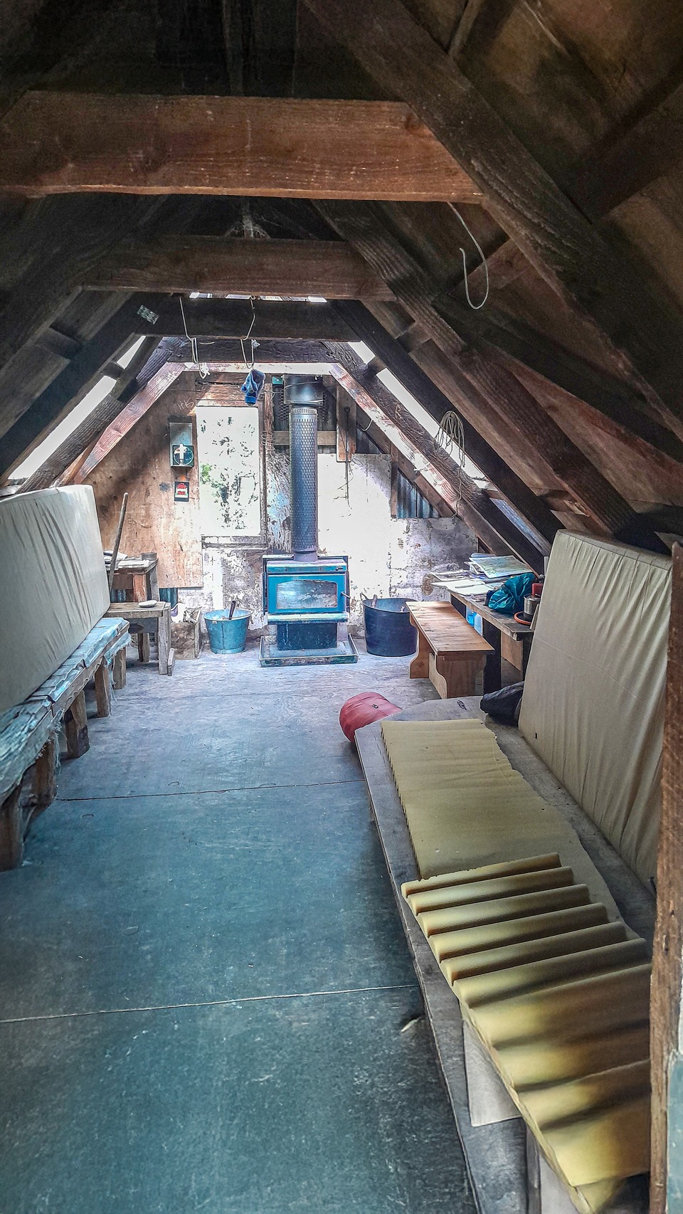
Benmore Hut was a very tidy hut that is maintained by the local deerstalkers association, as are the traps in the bush there.
From the CTC report I knew there was a link track that would join up with the Annavale Track that had been added as an easement across the farmland in 2020.
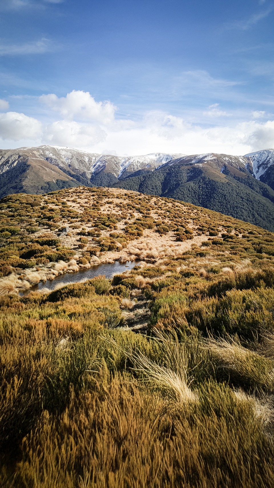
The topo map has not yet been updated to show this but the trail turned out to be very well marked and a nice climb through beech forest to the bush edge with spectacular views over towards Benmore, Mt Hutt and the Torlesse Range.
After meeting up with the Annavale Track, I noted the sign mentioned Sugarloaf Summit which wasn’t marked on my map but I made a guess it would be the high Pt 1203 on my map. Then doing some quick time calculations to ensure I wouldn’t be late getting back and make us miss our flight I made the decision to go check out Sugarloaf Summit.
And it turned out it was indeed the map Pt 1203.
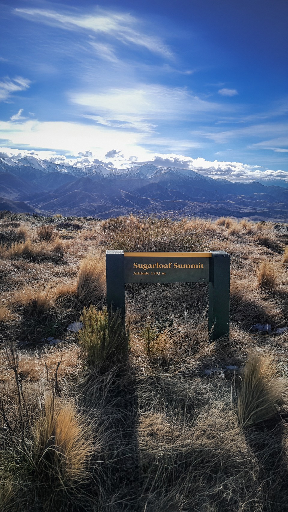
While it was a climb along an easy four-wheel drive track with small patches of snow, the strong wind made it hard work at times. From here it was an easy jog back down the Annavale track all the way to the carpark.
Benmore-Annavale Loop including Sugarloaf Summit:
18km; 3½ hours; 1,130m elevation.