Fri 17 Jan – Travel to WTMC Club Lodge at Mt Ruapehu
We all met at Wellington Train Station after work on Friday and loaded into the club van, excited at the prospect of an adventurous long weekend for Wellington Anniversary – doing a variety of day trips, based at the club’s lodge near the top of the Bruce Road, Whakapapa.
After a quick stop in Bulls for dinner, we arrived at the Lodge at around 10pm. Those who hadn’t yet visited the Lodge were suitably impressed with the facilities and very much looking forward to being able to have a hot shower and a comfy bed at the end of each day!
We all chatted about options for the next day and decided not to do the Tongariro Alpine Crossing (as originally planned) due to the potential for rain. As we had 3 leaders on the trip, we had the flexibility for different trips each day, based on the capabilities of the group and interest. For Day 1, we settled on the 42nd Traverse bike ride, Tama Lakes and Mangahuia Track walks.
Sat 18 Jan – 42nd Traverse, Tama Lakes and Mangahuia Track
Group 1 – 42nd Traverse (Mountain Bike – Medium) – Sara (leader) and Ed (author)
We off from the Lodge at around 8:30am. Instead of driving, we decided to cycle the extra 20 km to the start of the 42nd Traverse. The extra distance was mostly downhill. Once we hit the highway, we were reminded that this was acting as the main arterial route through the central North Island (thanks to the Desert Road being closed) and not exactly the most relaxing experience.
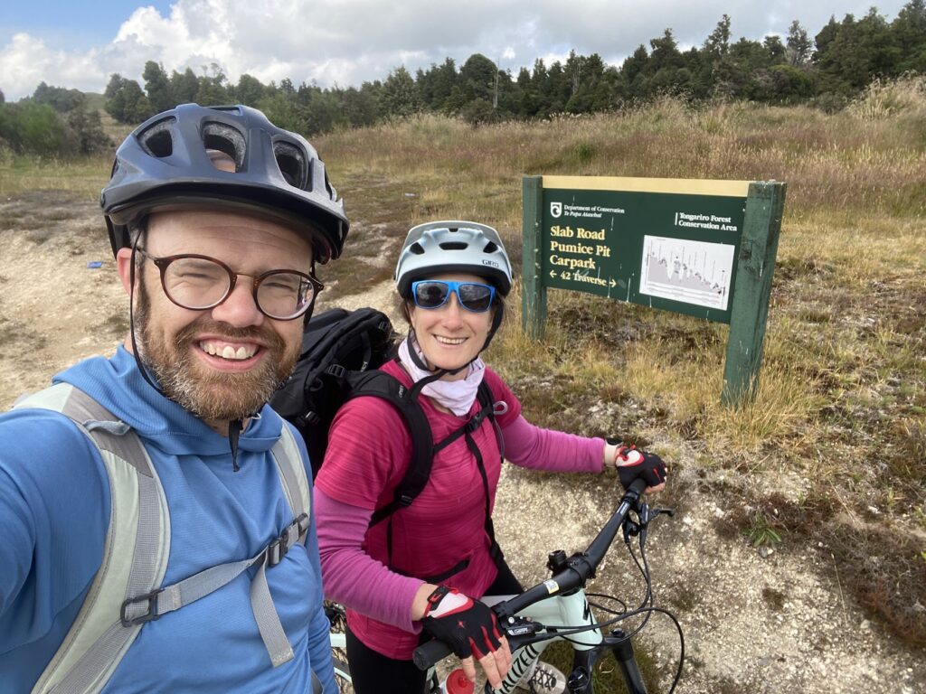
At the start of the track, there was a sign saying the 42nd Traverse was closed. The sign looked old. We checked the DOC website, which stated that that the track was fine for cyclists, but not anything larger. With that reassurance, we carried on as planned.
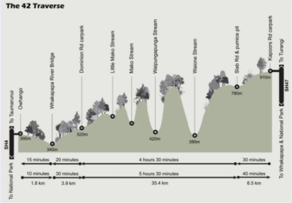
The track itself is a 4WD track and starts with a steady, flat 6.5 km stretch, until you hit a junction—another potential starting point (accessible by car) at Slab Road. From there, it’s more of the same for another 6km or so, until you reach the first big downhill section: a 400 m descent in a short span of time. It’s steep in spots, but nothing too technical—just a bit of fun. This section also had the best views of the remote wilderness we were in.
At the bottom, you get to the first river crossing. Since it was January, the water levels were pretty low, and the crossing was easy enough. But after watching some YouTube videos, it’s clear that this can get a lot trickier in other seasons – with riders frequently falling in.
On the other side of the river, you face the first major climb. It’s not technical, but it does require good fitness, as you grind your way out of the valley. From there, the track continues with a mix of ups and downs, plus a few more river crossings (though none were particularly challenging for us). That said, we did come across “the slip.”
The slip is… an experience. There’s a rough path through it that would’ve been tricky enough on foot, let alone with a bike. It felt at least 100 m wide, and it took us a good 20 minutes to get across. I’m not sure if we even took the “right” way, because a few kilometers on, we saw a sign pointing out a diversion track. Did we miss the sign earlier? Probably. Oh well.
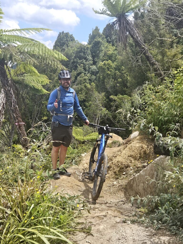
Eventually, you’re rewarded with one final long and flowing downhill section, which spits you out at the road end and a lovely picnic spot by Whakapapa River. From here, it’s just a short (but irritating) uphill slog into Ōwhango (a small township south of Taumarunui).
Once we arrived at Ōwhango, Sara and I made a beeline for the pub, dreaming of a cold, well-earned drink—only to find it closed. Devastated, we flopped onto the grass under a tree and waited for the rest of the group to pick us up.
The 42nd Traverse took us five hours, which isn’t bad considering it’s advertised as a 4–7 hour ride. It was 6 hours if you count the extra section from the Lodge to the start of the 42nd Traverse track. Experienced, fit mountain bikers could definitely smash it out faster. While it’s labeled an intermediate ride, I’d say it’s more demanding in terms of fitness than technical skill.
Stats
Distance: 47 km (4nd Traverse) + 20 km (Lodge to starting point on Kapoors Road) – 67 km total one way
Elapsed time: 5 hours + 1 hour – 6 hours total
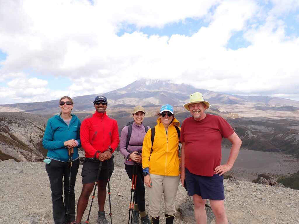
Group 2 – Tama Lakes (EM day walk) – David (leader), Chrys, Julia, Marie-Pascale, Rayan and Valentina
The Saturday weather forecast was for light rain late in the day, so we decided on a trip to Tama Lakes. But first, we dropped the other group to the start of their walk. We started on the track at about 10am and walked in overcast conditions, stopping near Lower Tama Lake for lunch.
After lunch we climbed a hill to get a view of Upper Tama Lake, with Mt Ngāuruhoe in the background. Our return trip was via Taranaki Falls. We then collected the biking group before returning to the Lodge. And the predicted rain never fell!
Stats
Distance: 17.6 km return, plus side trip to Taranaki Falls
Elevation gain: – 260 m (approx)
Elapsed Time: – 4.5 hours
Group 3 – Mangahuia Track, Whakapapaiti Track & Silica Rapids Tracks – Maj-Britt (leader / author), Amrita, Deborah and Saskia
Four keen wāhine were dropped off at about 9.30am at Mangahuia Campsite (more a place for camper vans than tents). The first few kilometres were well groomed, mostly gravel, paths, with lots of low scrub and wildflowers. We also lucked in a few glimpses of Mt Ruapehu.
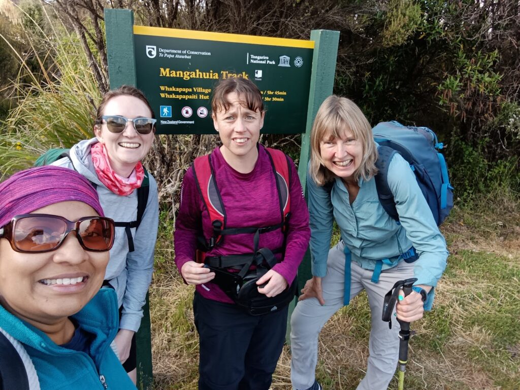
We then moved to a boardwalk section, and through some swampy ground before reaching more forest-like terrain. The path evolved into a more of a tramping track, with tree roots and similar obstacles (very Tararua Forest Park -like) which meant we had to focus us on each step. We then encountered mud, a few creeks and a river crossing (with slippery, algae-covered rocks).
The track went on to cover desert-like terrain and there was alpine grass. We also caught more views of Mount Ruapehu.
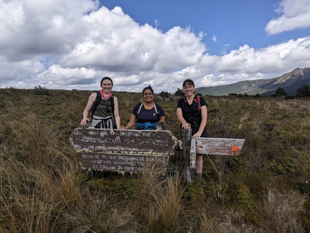
Near the end of the track, we stepped into the Hauhangatahi Wilderness Area – which was just behind a sign marking the area and direction to “Park HQ”. At the creek a few metres before the junction with the Whakapapaiti Valley Track, we saw the first people we had seen since leaving the car park – a walker startled like a deer by us, and four women walking the other way.
Along the Whakapapaiti Track (part of the Round the Mountain Track) we came across a few canyoners, a couple preparing to go off-track, and three other people (including one person who was barefoot) who had survived the bracing glacial waters.
We stopped for lunch at about 1.30pm. At the Silica Rapids junction, we decided to take the “DOC 30 minutes” each way (about 45 minutes return) detour to Silica Rapids, given that we were nearly 2/3s along the track from Whakapapa Village.
We arrived at Whakapapa Village at about 2.30pm, close to the time when the Tama Lakes group arrived.
Stats
Distance:
Mangahuia Track – 7.11 km
Whakapapaiti Track (3 km approx)
Silica Rapids (Return) (5 km approx)
Lower Silica Rapids Track – 1.18 km
Total – 16.29 km
Elevation gain: – 300m climb (approx)
Elapsed Time: – 5 hours
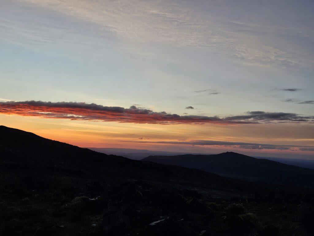
After our first day of activities, we all relaxed with a cheeseboard (thanks David!!) and a few drinks, while we got dinner underway. There was also a spectacular sunset. On the menu was Indonesian Chicken/Tofu Curry (from the WTMC Recipe book) and Chocolate Brownie with Berry Coulis. Delicious!
After consulting the weather forecast, we decided the Tongariro Alpine Crossing was a ‘go’ for Day 2.
Earlier in the day, Maj-Britt had checked-in with DOC regarding the car-parking situation for the Tongariro Crossing (there is a parking limit of 4 hours at both the Mangetepopo and Ketetahi Road ends). The DOC staff remained silent on whether it was okay to do the route in the ‘unconventional direction’ – ie parking on SH46 (Lake Rotoaira Road).
In the end, we opted for a key swap, with one group starting at the Mangetepopo Road end, and two groups starting from the Ketetahi Road end (parking on SH46). This necessitated an extra 1 km walk, but saved us a lot of money in shuttle fees. [Also to note: As of January 2025, DOC requires all walkers doing the Tongariro Crossing to book online. However, no payment is required to do the walk (yet!) Presumably this is so DOC can track visitor numbers. However, there were no rangers at the Ketetahi Road end. And rangers at the Mangetepopo Road end weren’t checking bookings.]
Sun 19 Jan – Tongariro Crossing three ways
Group 1 – Mangetepopo Road end to Ketetahi (EM daytrip) David (leader / author), Deborah, Marie-Pascale, Valentina.
Our group started at Mangatepopo and finish at the Ketetahi road end, in the process meeting with the others to collect the van key.
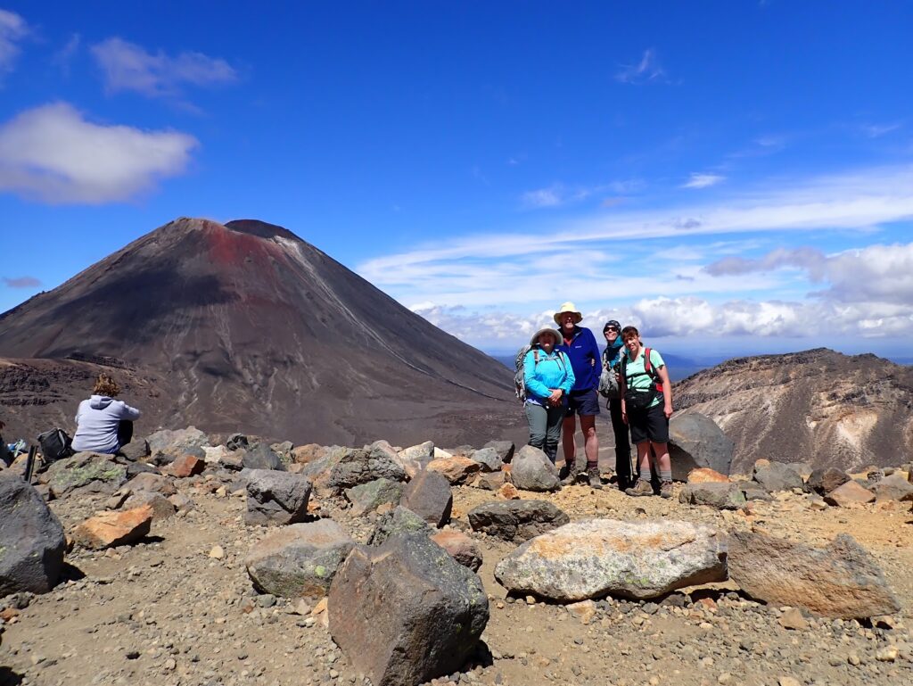
We were dropped off at the Mangatepopo Road end at around 8:30 am. The weather was good, with just some light cloud and a cool breeze. We climbed steadily, past Soda Springs, crossed South Crater and went over the edge of Red Crater, arriving at the Emerald Lakes for lunch. The day was getting warmer, so it was pleasant to sit in the sun admiring the vivid coloured scenery and watching steam escaping from active vents.
The other groups were also there, so we picked up the van key – now we had to continue on, or it would be a late night for everyone.
After lunch we crossed Central Crater, passed Blue Lake and began the long descent to the road end. We arrived at the end at around 4pm. We then got in the van and picked up the other tramping group before returning to the Lodge.
Stats
Distance: 19.4 km (the Crossing) + 1 km (Ketetahi Track end to SH46)
Elevation gain: 748 m / loss 1208 m
Elapsed Time: – 7.5 hours
Group 2/3 – Ketetahi Road end to Mangetepopo Road end (EM), plus optional extra: Mt Ngāuruhoe (MF)
Group 2 (EM)– Maj-Britt, Amrita, and Saskia; and
Group 3 (M/MF) – Sara (leader / author), Chrys, Rayan, Julia, Ed
After dropping David’s group off at Mangetepopo Rd end, Sara and Maj-Britt’s groups headed to SH46 and parked on the road just after 8:30 am. There were about 50 other groups in vehicles who had a similar idea.
We walked 1 km up the road and started the Crossing proper from the Ketetahi Road end just before 9 am. Attempting the crossing in this unconventional direction would add an additional climb of approx. 420m to our walk (commencing from the 700 m contour instead of 1120 m) and would risk us being slowed down by the hordes of people coming the other way.
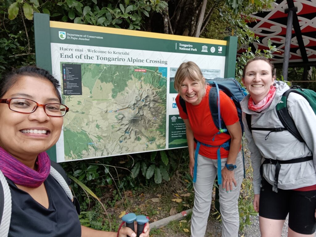
The walk to Blue Lake was a relatively straightforward and gentle climb, with only a handful of mountain runners coming the other way. As we exited the bush line, the Southerly wind picked up, cooling us down considerably and we needed to find some shelter in a small valley to have our morning tea. Walkers coming in the other direction also increased at this point, but it didn’t slow us down much.
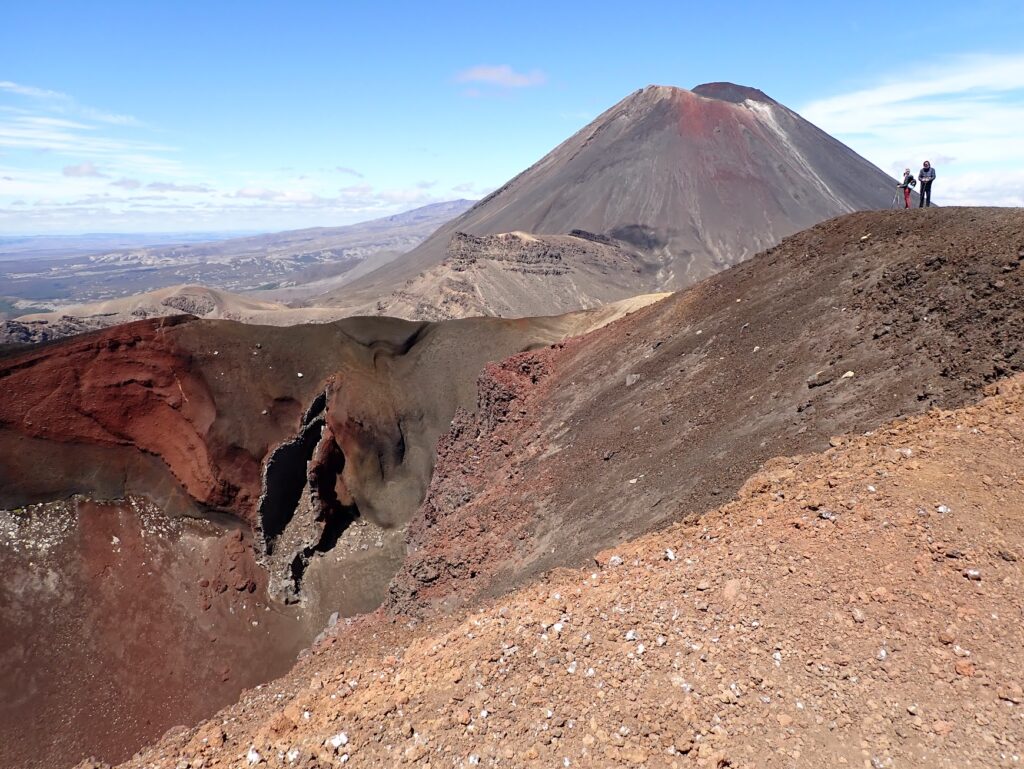
Sara’s group reached Blue Lake at around 11.45am and decided to continue on to the Emerald Lakes and Red Crater for lunch (which took another 30 mins or so). Following lunch, Sara’s group began walking again just before 1pm. As they were leaving, they bumped into David’s group, who were just arriving. Maj-Britt’s group must have been not far off.
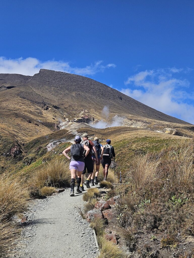
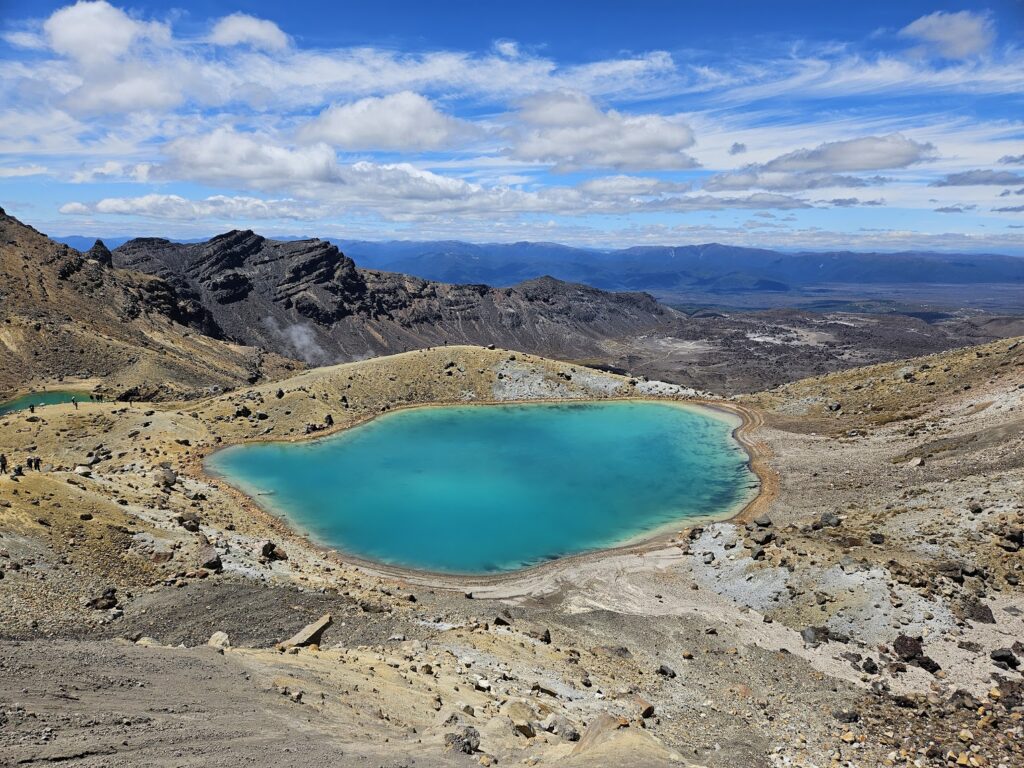
Sara and Maj-Britt’s groups navigated the only slightly tricky part of the Crossing – the stretch from the Emerald Lakes to Red Crater. This coincided with most of the foot traffic coming the other way.
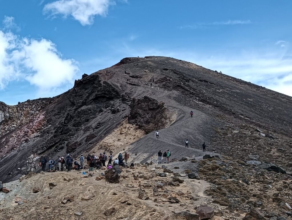
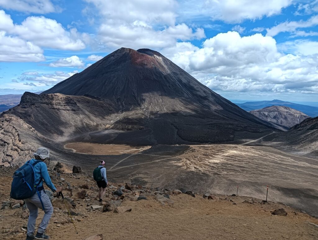
Both groups traversed the moon-like landscape towards the base of Mt Ngāuruhoe – which Sara’s group attempted to ascend. The group thought it looked awfully steep, no matter which way you looked at it. Once at the base of Mt Ngāuruhoe, a prominent zig-zag track makes its way up. It didn’t look so bad from the base and Sara’s group commenced their ascent at around 2pm. They had a designated turn-around time of 4pm – to allow enough time to descend and get to the road end without the other groups having to wait too long!
After an initial climb along the rocky path, the track got considerably rougher and more scree-like. It was at this point that Ed and Chrys decided to turn-around and wait at the base, with the option of joining Maj-Britt’s group as they walked past. Meanwhile Sara, Rayan and Julia continued on up. With what seemed like 2 steps forward and 1 step back, progress up was made! It was slow going, and by the 4pm turn-around time the group were only 100 m vertical metres shy of the summit (2287 m). The views from 2160 m were spectacular and the group were pleased with their efforts!
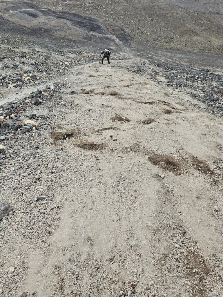
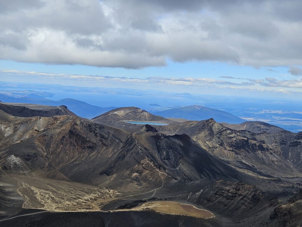
It was much quicker coming back down (taking around 30 mins) using a skiing-like motion to ‘slide’ down the scree. And it took a further 1 hr 30 mins to reach the road end.
Maj-Britt’s group had passed Ed and Chrys earlier and arrived at the road end at about 5:15 pm. They had a brief wait for David’s group to arrive with the van from Ketetahi Rd end. Sara’s group arrived at the end of the track at around 6.10 pm.
Stats (Group 2- EM)
Distance: 19.4 km (Tongariro Crossing) + 1 km (end of the track at Ketetahi Road end to SH46)
Elevation gain: 1148 m / loss 1608 m
Elapsed Time: – 8 hours 45 mins
Stats (Group 3- M/MF)
Distance: 19.4 km (Tongariro Crossing) + 1 km (end of the track at Ketetahi Road end to SH46) + 2 km (partial ascent of Mt Ngāuruhoe)
Elevation gain: 748 m / loss 1208 m (Crossing) + 520 m gain (Mt Ngāuruhoe)
Elapsed Time: – 9 hours 45 mins
That evening, we had a lovely meal of Moroccan Spiced Lentils (with chicken and tofu) and for dessert, Apple Crumble with ice cream (recipes again from the WTMC Club recipe book). Most opted for an early night, after the long day of walking / climbing! For our final day, we decided to break into two groups: a more active group and the other group doing a selection of shorter local walks culminating in a visit to the Tokaanu hot pools. In addition, Valentina and Deborah headed to Knoll Ridge Café via the Sky Waka and relaxed at the Lodge.
Mon 20 Jan – Ruapheu Summit, Lake Rotopounamu and Tokaanu hot pools, Sky Waka and Knoll Ridge Cafe
Ruapehu Summit Walk – Sara (leader), Ed, Rayan, Julia, Chrys (author)
We woke up to another beautiful day. Five of us left the Lodge at 7:30 am on foot hoping to get some gorgeous views of Crater Lake. We headed up to the Knoll Ridge Chalet via the Waterfall Descent and then on to the Skyline Ridge.
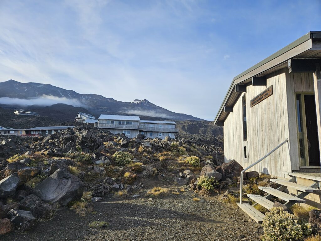
Whakapapa recently added a suite of well-marked ‘Summer Trails’ to their offering, and the team were impressed with how well marked and advertised they were.
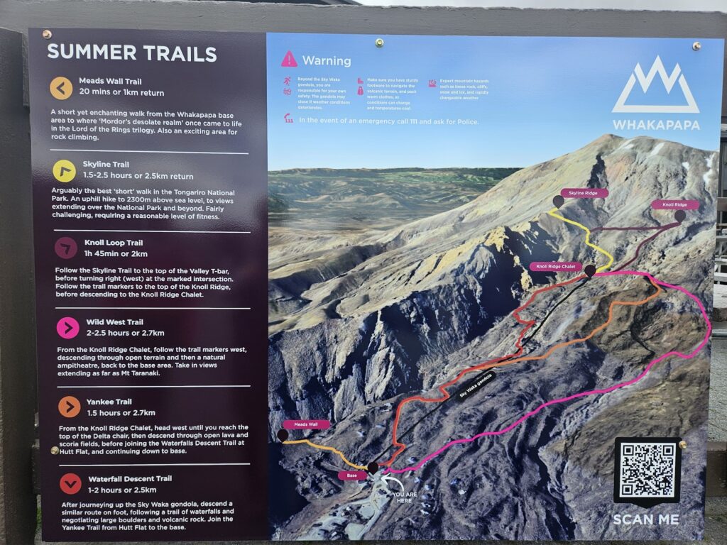
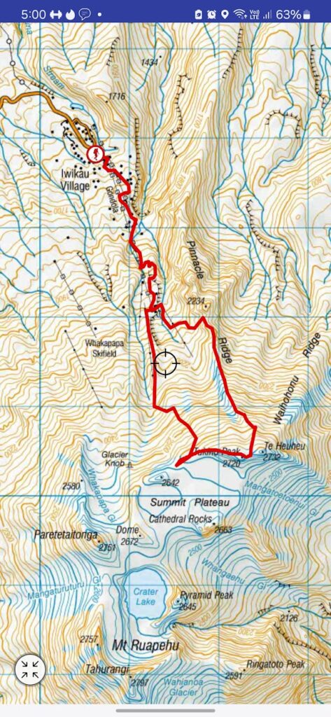
We followed the Skyline Trail markers up to Pinnacles Ridge, and then continued up the ridge line towards Te Heuheu. We stopped here for a quick lunch break at around midday. Julia went all the way to the summit (2732 m) and back while the rest of us enjoyed the views from 2705 m elevation.
Walking to the summit was doable whether or not you had walking poles. I found mine helpful, while others preferred to hold on to boulders. We were all happy to have proper hiking boots on though. Once we passed the Skyline Ridge trail end marker, there was a slight breeze, so it was good to have our beanies, gloves and jackets on us (even during January).
The weather Gods were with us, allowing for clear views all around. However, we had to enjoy the views with our mouths closed, as small flies were everywhere. Even though it was summertime and flies were hatching, we could not fully avoid traversing icy patches. We all managed without alpine gear.
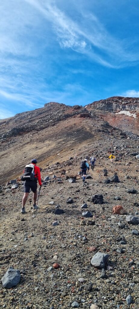
We continued on the ridge to Tukino Peak. Along the way we managed to catch a glimpse of Crater Lake.
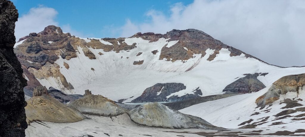
We followed the ridge for approx. 700 – 800m before clag started to come in. As none of us had been on any of the summit routes before, we didn’t want to risk having to undertake tricky navigation coming down the ridgeline from Glacier Knob (or off the Whakapapa Glacier) with limited visibility. So Sara led us down a ridgeline into a valley above the Knoll Ridge T-bar.
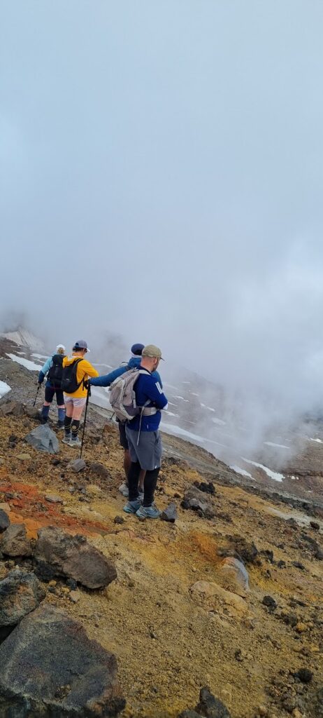
The way down was easier than it looked. We walked through lots of scree near the top, while the terrain became rockier as we progressed further down. Gaiters and walking poles were useful, however at times we needed use of both our hands to navigate boulders.
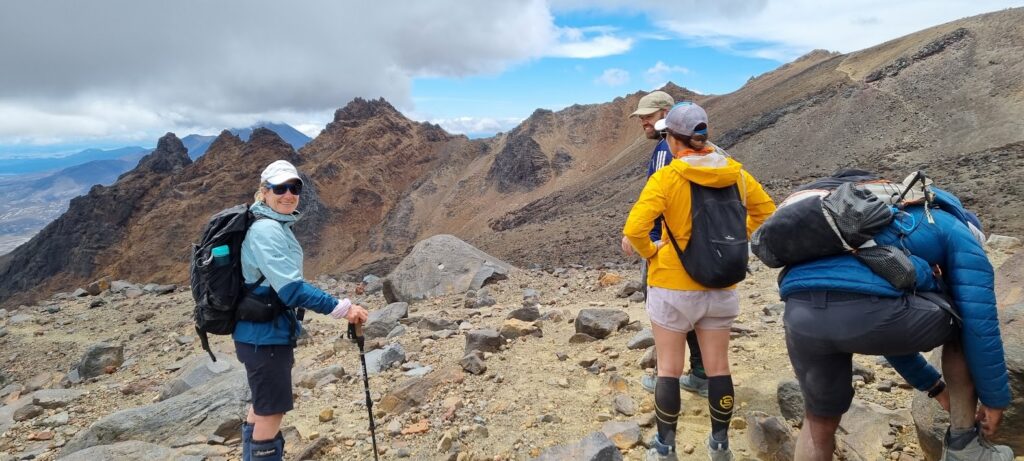
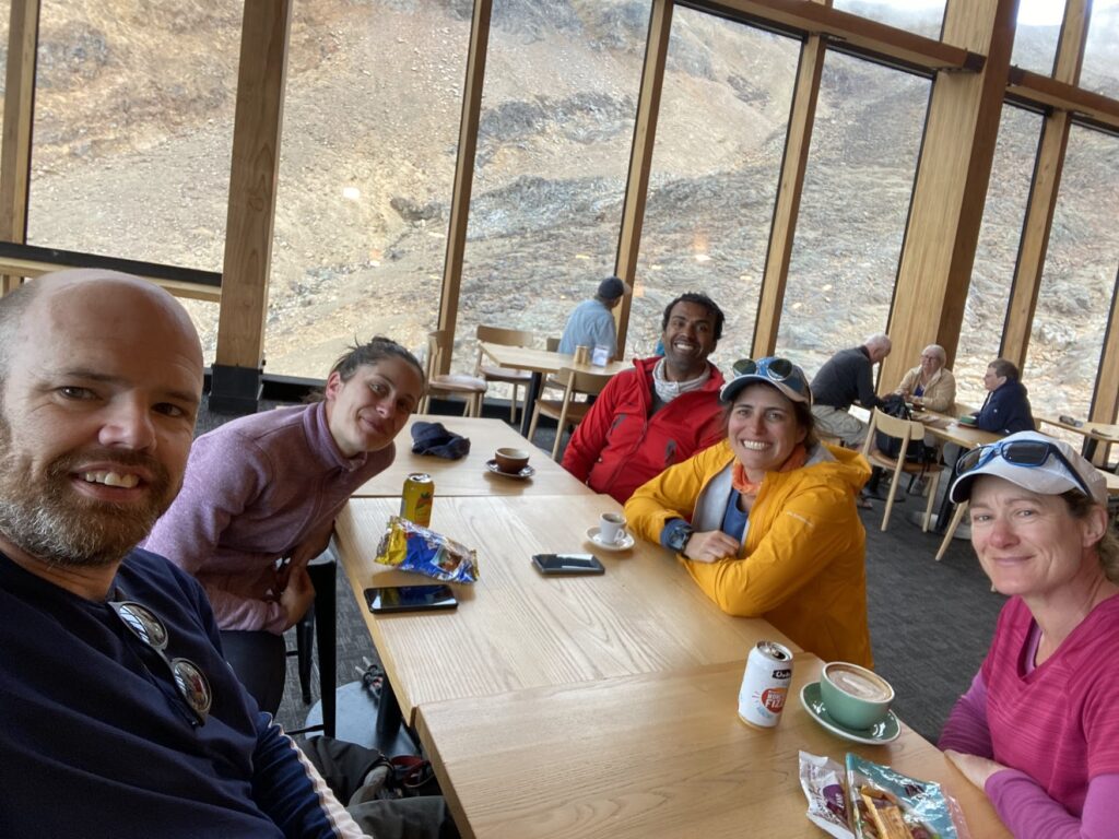
We managed to beat the clouds, which continued to drop, with clear sight of our path all the way through. Once we reached the Knoll Ridge T-bar line, it was a relatively easy walk following the marked Knoll Ridge trail back to a busy Knoll Ridge Cafe at around 1:30 pm. We stopped for afternoon tea and once we realised that we were a bit sore from the 1,100 m ascent, we decided to take the gondola down. We will be back another time to get better views of Crater Lake!
Stats
Distance: – 8.4 km approx
Elevation gain / loss: – 1097 m gain, 700 m decent
Elapsed Time: – 5.5 hours
Lake Rotopounamu (E short walks) – (David (leader / author), Maj-Britt, M-P, Saskia, Amrita)
We decided to take it easy on our last day, visiting interesting signposted walks that people normally just drive past. After cleaning the Lodge, our first stop was “Ma and Mel’s” – a coffee shop at Whakapapa Village. Great coffee, wonderful banter and I can vouch for at least one of the types of pie they sell!
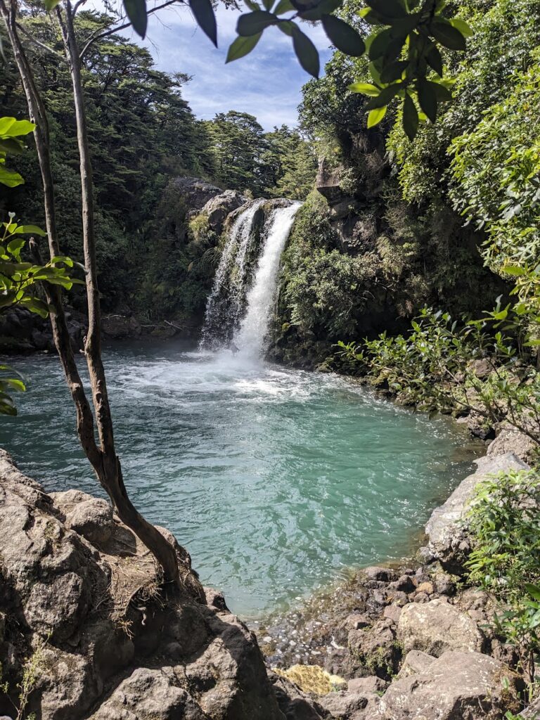
It was then on to Tawhai Falls – which are about a short (4km) walk from Chateau Tongariro. It was lovely to get out and enjoy the sight and sound of falling water.
We then did a short trip to “the Mounds” (which are another kilometer along the road). The Mounds were created by a landslip several thousand years ago. After a strenuous climb of about twenty steps, we summitted one of the Mounds, which gave us a good view of Mt Ruapehu and Mt Ngāuruhoe.
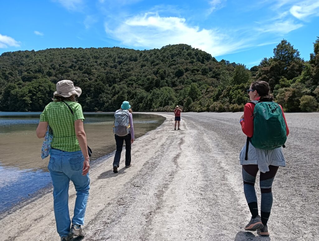
We then walked around Lake Rotopounamu – situated on the side of Mt Pihanga, on the road to Tokaanu. The Lake is surrounded by lush bush and lots of birdlife. A complete contrast to the rocky slopes of the previous days.
After our strenuous activities, it was off to the hot pools at Tokaanu for a therapeutic soak. We then returned to the Lodge and picked up the other groups in the club van.

Good to know – Thanks Harry!
The Tongariro Crossing is part of Tongariro National Park and you have a legal right of access to national parks under the National Park Act, including the right of free use of the tracks. You are not required to book, despite what DOC may say, you can walk it in either direction, despite what DOC may prefer, and DOC cannot charge you to use it. If any DOC ranger tries to tell you otherwise, tell then to go and take a flying leap. The same applies for every other “great walk” in a national park in New Zealand. (They can however apply restrictions and charges on camping and using the huts.)