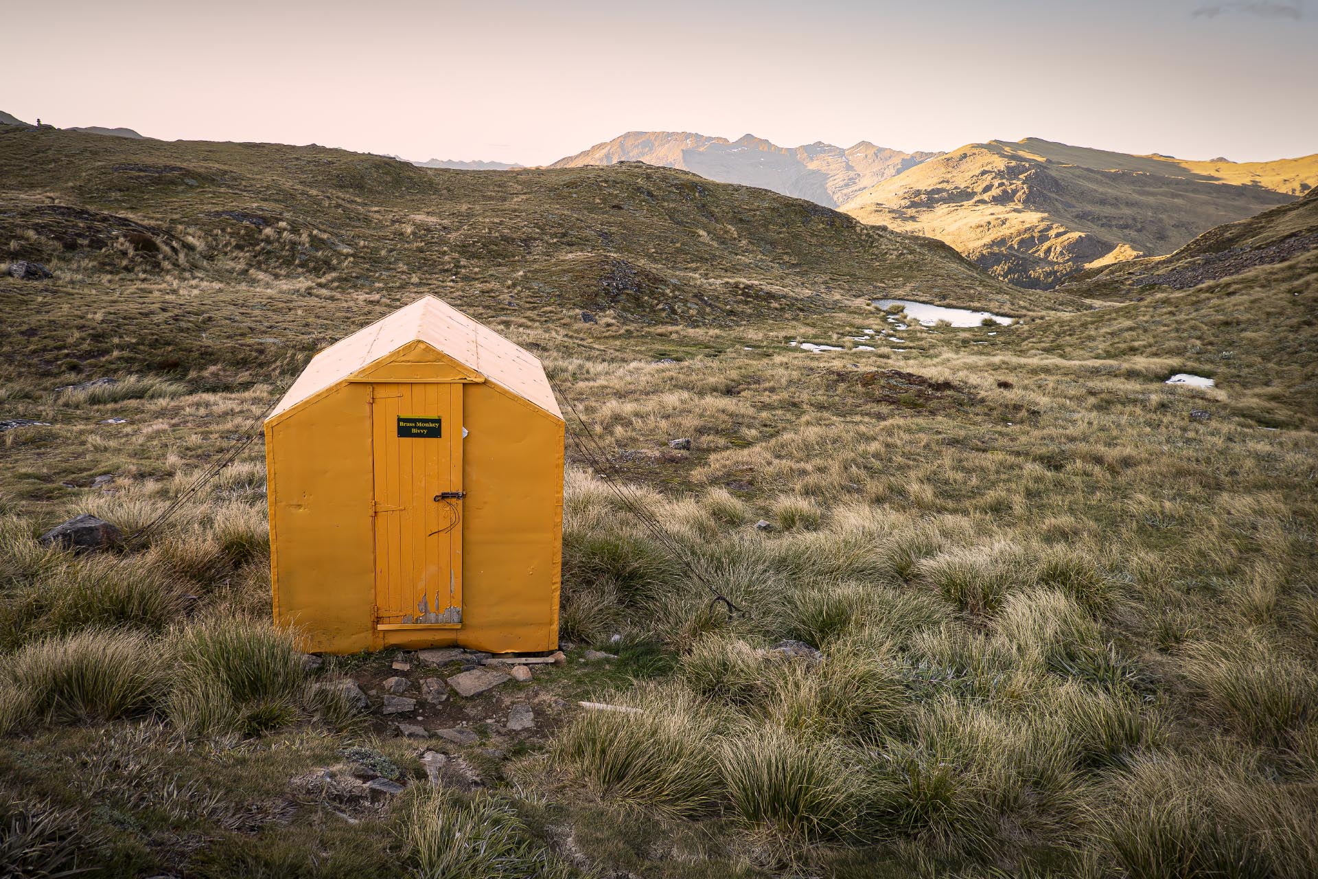
Brass Monkey Biv
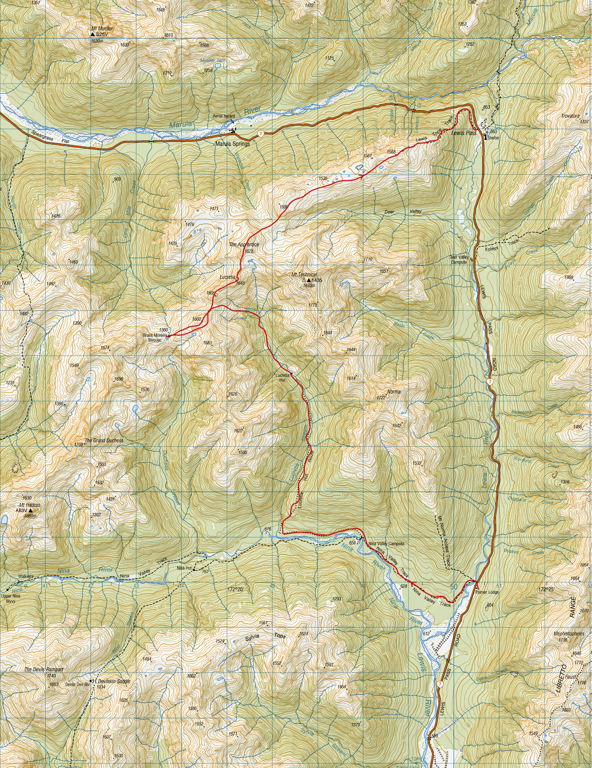
A 2 day hiking loop trip through the Lewis Pass Tops passing by the Brass Monkey Bivouac and over the summit of The Apprentice.
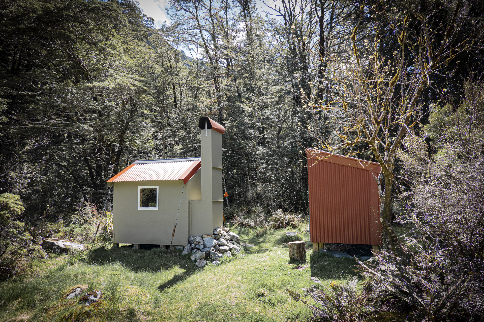
If you belong to a mountaineering club then maybe every now and then you think about actually climbing to the summit of a mountain. But one immediate problem is which summit do you choose from the thousands of named and unnamed peaks in NZ?
Some peaks look attractive, such as graceful Aspiring; some have unusual features, think Ngāuruhoe; some are spectacular viewpoints, like Earnslaw; while others have cool names, such as Mephistopheles and The Princess.
The Apprentice is a fairly non-descript peak above the Lewis Pass Tops, but it does have a cool name and it does offer grand views of the other Lewis Pass peaks including Faerie Queene and Gloriana.
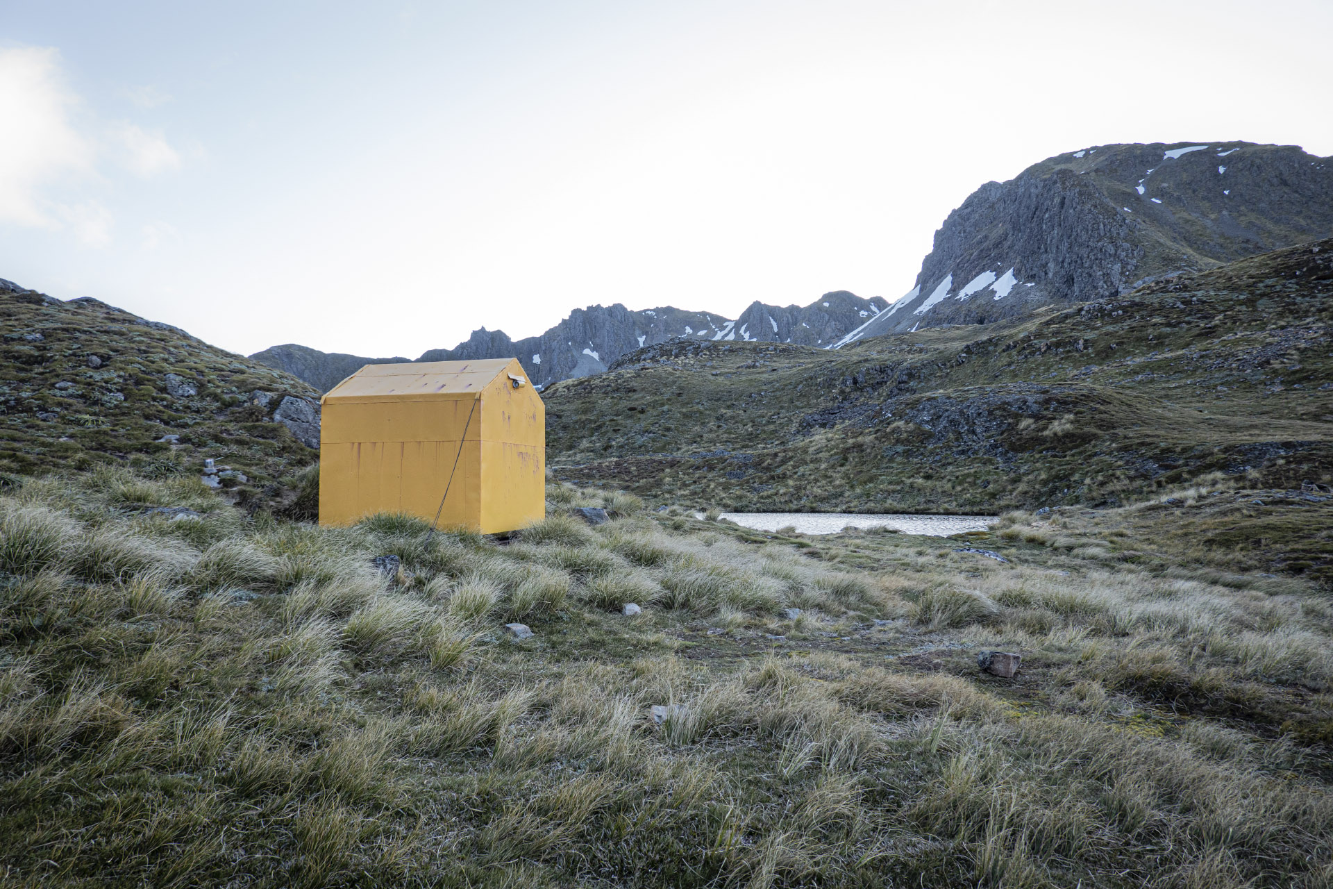
You could climb it in a day from the St James carpark, but why not make the ascent part of a round trip taking in Lucretia Stream and a night at the Brass Monkey Bivouac? (however, note that the hut currently is in a sorry state, with mould throughout the interior – not a pleasant place to stay).
Start up the Nina River Track then follow the marked route up Lucretia Stream to the bivvy. This has been recently renovated by the Backcountry Trust volunteers who do so much amazing and unrecognised work on our mountain huts. The track above the bivvy to the bushline has been recut and is easy to follow. More easy travel takes you to the ridgeline at a saddle between Pt 1602 and Point 1605, and then a straightforward descent to the totally underwhelming and probably unhealthy Brass Monkey Bivouac.
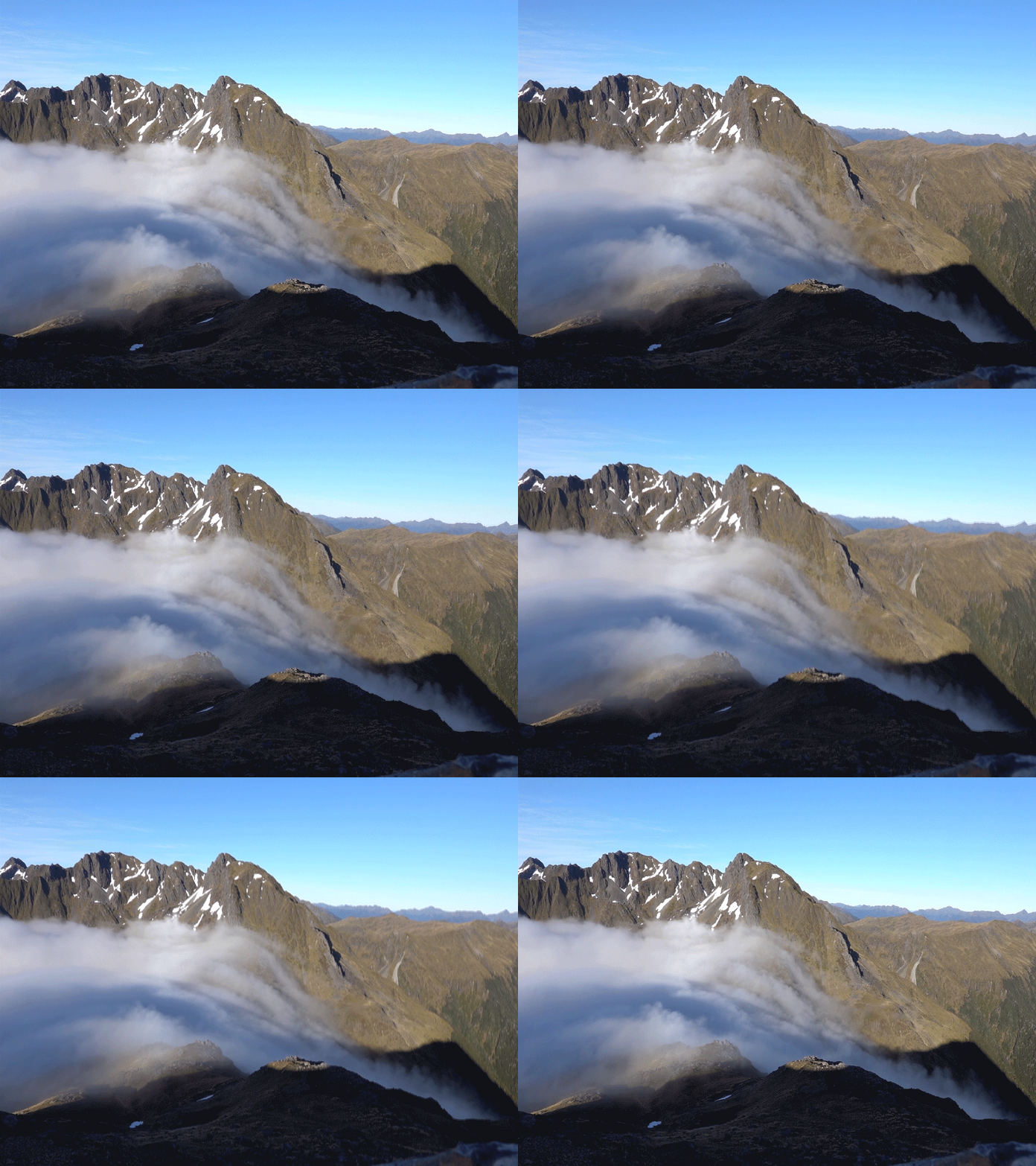
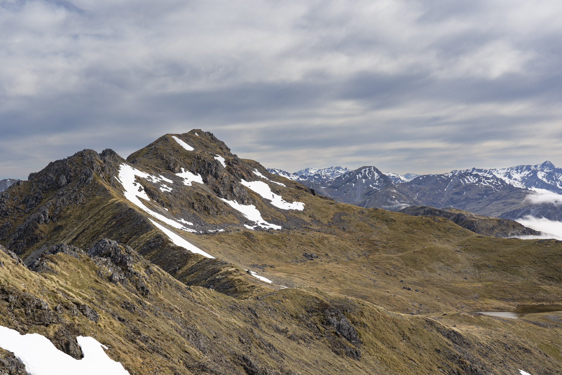
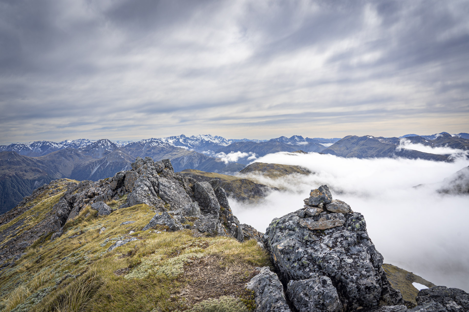
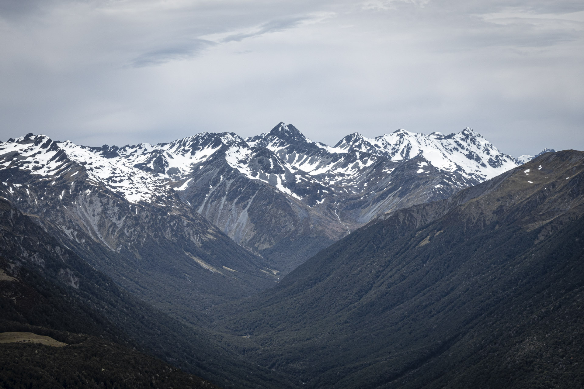
Next morning happily leave the bivvy and climb back to yesterday’s saddle, then continue over the summit of Lucretia and on to The Apprentice. Goal achieved.
It’s then an easy romp over the wide grassy Lewis Pass Tops passing many tarns before meeting a track and a bush descent to the carpark and then wait for your chauffeur.
Tramp rating:
Brass Monkey Bivouac rating:
‼️As at 9 February 2025 there are foundations for a new bivvy. The star rating is therefore soon likely to suddenly increase to 5.

The simple solution to the no-closed loop issue is to leave your car at the Lewis Pass car park, hop on your MTB and blast down the hill to Palmer Lodge, stash your bike in the bushes and head off. Collect your bike on the way home. QED – without having to pedal.
TG.
Thanks for this report Tony. This looks like a good route to add to my To Do list but shame it doesn’t connect back to the start.
Your photo of Brass Monkey Biv makes it look like a backcountry Tardis. But without the police box-like windows. The interior doesn’t sound appealing, but it would be good shelter if the weather turned bad.
Yes, peak names can be cool and how they got their names interesting (excluding Mt Technical – I presume it’s a tad technical). There’s a bit of variety alongside your route from a simple ‘Norma’ to ‘The Grand Duchess’ 🙂
For readers who may be keen to get a taste of the Lewis Pass tops but don’t feel they’re ‘quite ready’ or have an extra day, for Tony’s Brass Monkey route, I can recommend the last bit (and Tony does mention a day walk up to The Apprentice is an option).
Park in the car park at the Northern entry of St James’ Walkway, (heading north up SH7 it’s on the right just before the sharp left corner of Lewis Pass Road). Cross the road to the Lewis Tops Route track (there’s the usual DOC signpost, no more than 200m up from the carpark). Those with good fitness won’t find the climb hard at all. Once above the bush line, on the pasture-looking grassy slopes, you might wonder if you’ll come across Heidi. (I had patches of old snow and the Spenser Mountains, and several other high points had a decent dusting, March 2024). Subject to what the weather is doing, aim for at least the last pole – high point 1568 (refer Topo map BT23). Carrying just a day pack, you might reach this point in just over an hour from the road / start of the track. It’s surprisingly a short climb for the panoramic views you’ll gain. From 1568, you can stroll along the tops towards The Apprentice for as far as your schedule allows. Return the same way.
If you need more of these tops, another half day walk is 2-3kms down the road. Park in Deer Valley campsite. Directly across the road is a DOC signpost for Foleys Track. Head on up. Either turn around at the bush line or continue to Travers Peak. (Travers Peak appears prominently from the Lewis Tops Route track – if you have visibility).
Two other day walk options in this immediate area of Lewis Pass include a descent into Cannibal Gorge, or for a longer walk, along to Ada Pass hut. There are quite a few small creek crossings on this section of St James Walkway, but in March 2024, after a dry summer, it was easy to keep my feet dry. Lunch at Ada Pass hut then return the same way. (The hut is nothing special but the view from the deck up t Gloriana Peak is stunning on a nice day.)
Happy Lewis Pass adventuring.