Heading north
We set off from the railway station at 7:00am with the crew, heading north to Masterton and on to the Waingawa Road end. Just outside Carterton, we made a beeline for Clareville Bakery. The baked goods were stellar.
Tash left her custard square in the van overnight and it had cooked in the packet on the dashboard. Delicious.
The sun was shining – my first trip in the Tararua Ranges without rain in three years. Turns out I own sunscreen!
Arriving at the road end, we found no toilets or water spigot, so come prepared. I forgot to fill up my water bottle, but had just enough to make it to the hut.
Setting off
We set off at 9:20am. The track travelled through a few paddocks before turning to a lovely gravel road with nice views of the river beside the road and the mountains in the background. We got a little cooked. Bring sunscreen.
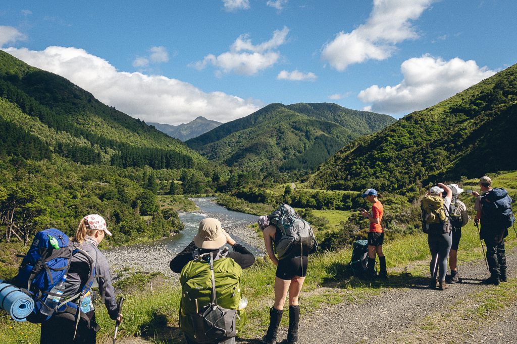
The track then went into the bush and it felt a little like bushwhacking for the first kilometre as we sidled along the valley. The track is very narrow so you have to mind where you put your feet. The track then turned a bit wider, with a few bits of overgrown sections here and there but mostly nicely formed.
It’s very rooty – lots of ankle breakers and I can imagine it would be spicy if it were wet. There are several small creeks to cross, but I managed to keep my feet dry, though not everyone did. I like to push my luck with creeks.
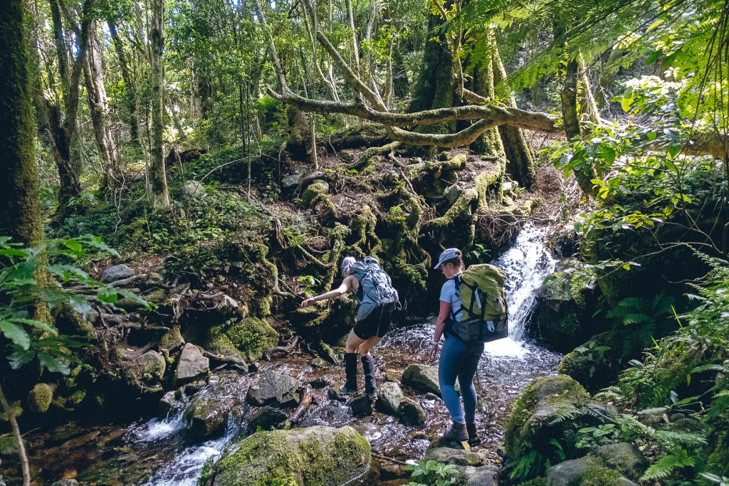
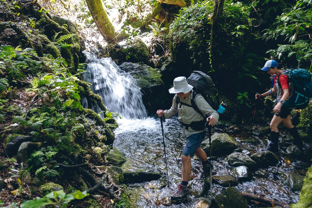
There’s one section close to the hut where there’s a little creek and heaps of treefall, and you can’t see the marker on the other side. We never found it but clambered over anyway and found something of a path on the other side. The section down to the hut is steep as well, then you cross a bridge and you’re basically at the hut.
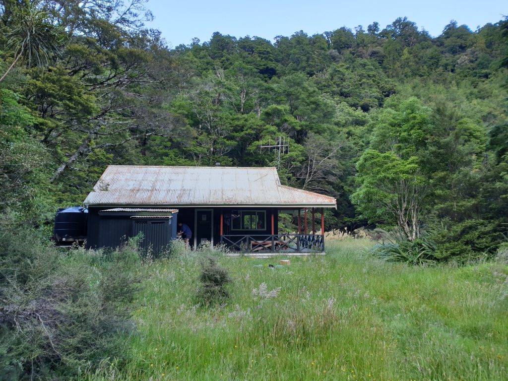
The DOC time was 4 hours and we made it in about 3:40, with several stops along the way. There are a few nice clearings for snacking, and a huge fallen log that makes a nice bench for many people about halfway through.
We ate lunch for an hour or so until 2:00pm. We left one person behind and the other 7 of us trotted off up the hill to see if we could get to Mitre peak.
Heading up to Mitre peak
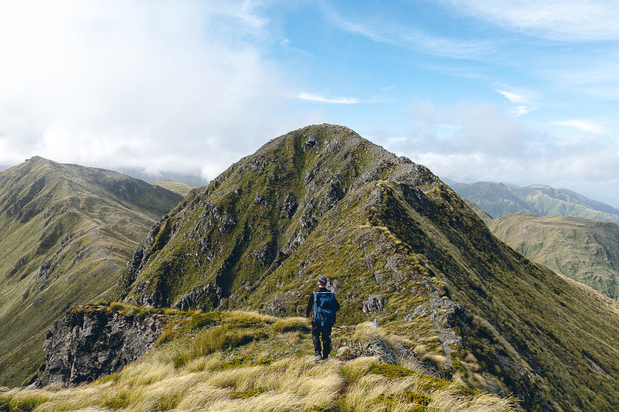
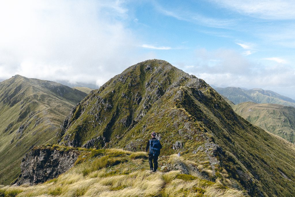
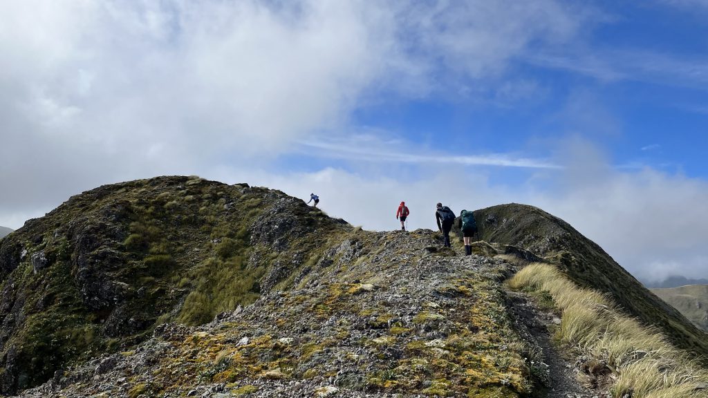
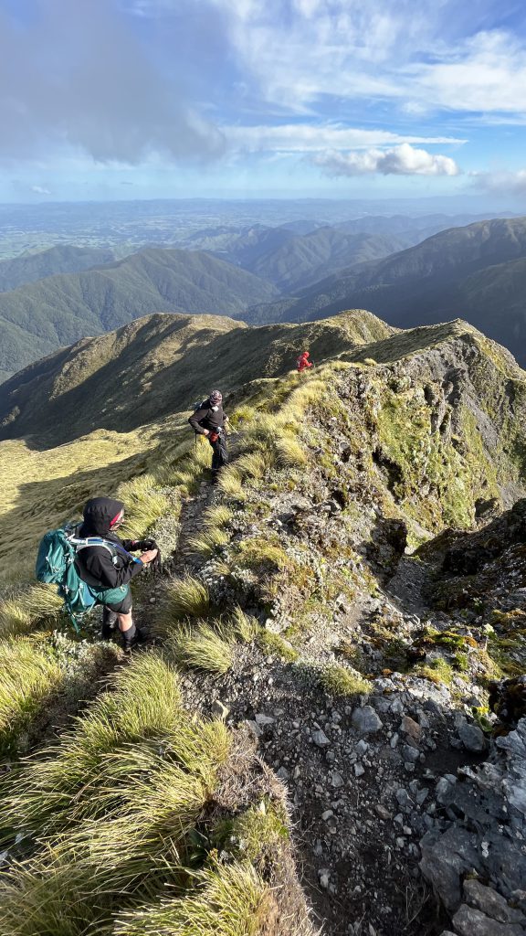
It’s supposed to take around 5 hours – 3 to get up and 2 to get down. We were gone for around 7 hours, though we had some good breaks along the way. The section to the treeline has bits where it’s hard to find the track. There’s heaps of treefall and you have to really look for the orange markers. It takes a while to get to the tree line, but just before there’s a nice place to stop, snack, and put on more layers. Looks like a perfect spot for a tent too, with a nice flat grassy patch. Then we poked above the treeline and headed up the rocky section. There’s a lot of loose gravel and the track is loosely marked by cairns but even then it’s hard to see where you’re supposed to go. Lots of treefall as well. Take headlamps/head torches in case it’s dark when you come back. Take lots of snacks too.
Nice satay noodle dinner!
We felt truly blessed that when we did get back down to the hut, folks that had stayed behind or turned around had made supper for us – a beautiful vegan satay noodle number. A cup of tea and some crossword puzzles later and we were all asleep.
On the way out
Lovely time on the way out, another stunner of a day, but with a bit more wind. Stopped again around the two hour mark for snacks and lunch.
The Clareville bakery is closed Sundays so we didn’t stop there, but had a lovely quick lunch at the Offering in Greytown.
Main takeaways
- Great trip! Incredible to get to the top of Mitre if you can. Absolutely worth it.
- It takes longer than 5 hours to get to Mitre
- Certain parts of the entire track are hard to find at times – keep an eye out for the orange markers and beware of all the treefall
- Stop at Clareville Bakery.
For another Mitre Flats trip go to Mitre Flats – a little gem

