Mt Ngāuruhoe – a different way to climb to the summit
A hiking loop trip to the summit of Mt Ngāuruhoe via an ascent route that is different from that usually taken.
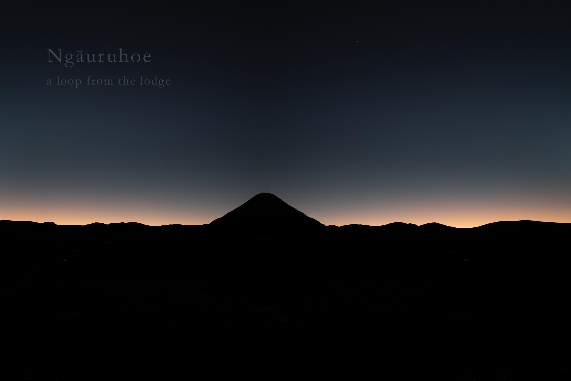
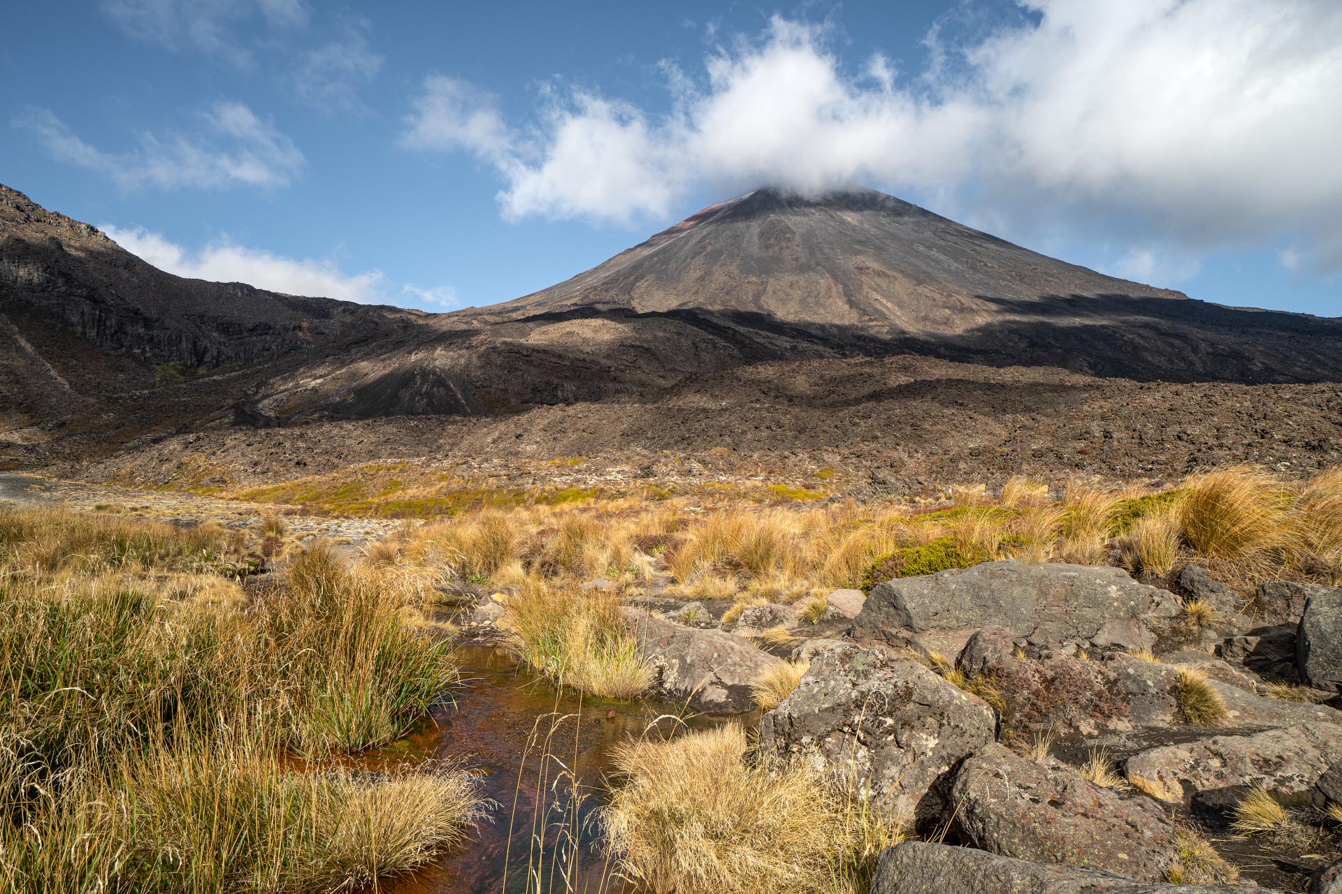
Mt Ngāuruhoe is the second highest mountain in the Tongariro National Park at 2,291 m, and is either a rather cute and perfectly formed composite volcanic peak or a humungous pile of chunderous rock, depending on how your day is going.
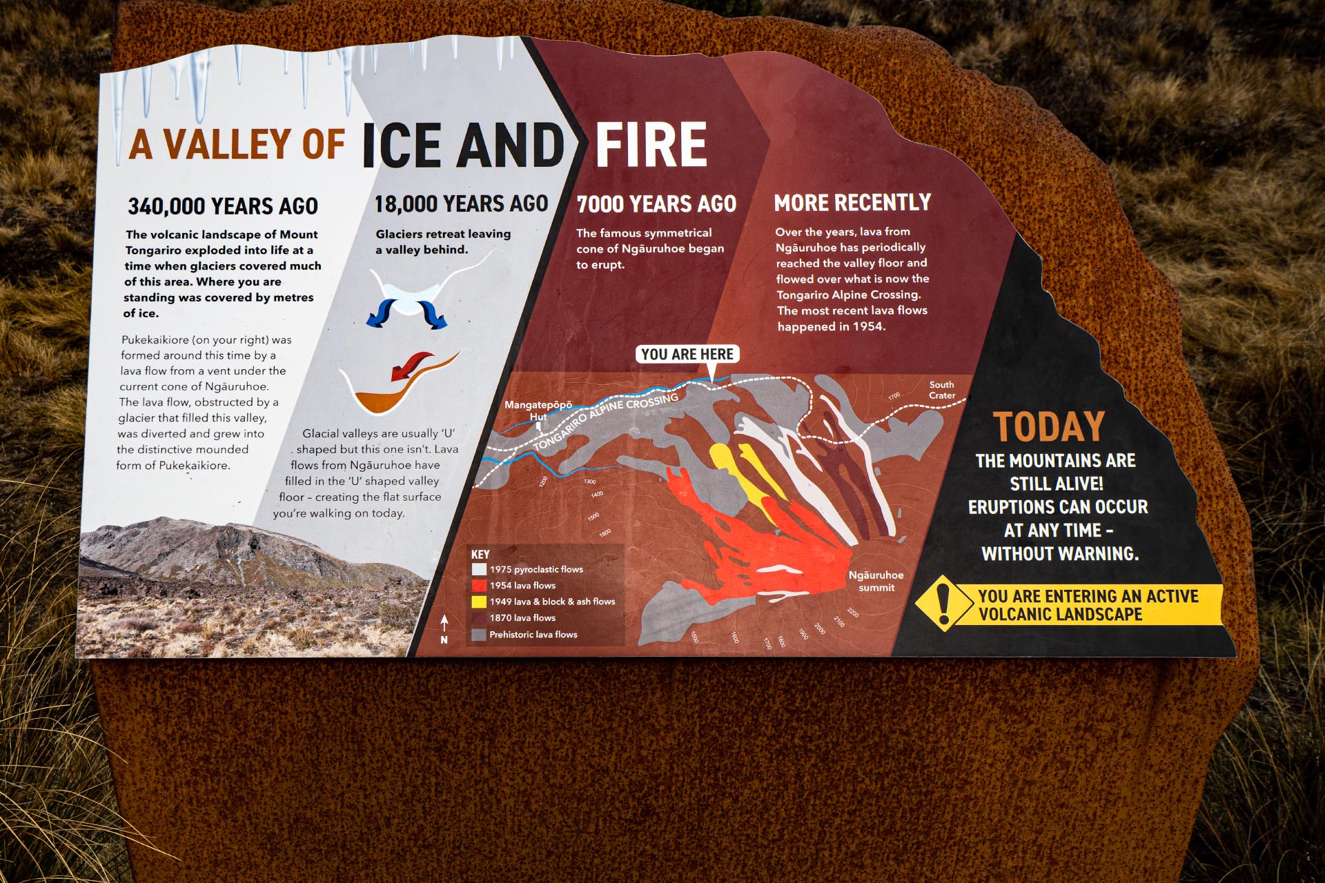
Although it is usually thought of as a separate mountain, Māori myths regard Mt Ngāuruhoe as part of Mt Tongariro, and geologically it is actually just a young parasitic cone of Tongariro—in the same way Fanthams Peak is to Taranaki. And he is just a youngster of 7,000 years compared to the 250,000 year old Tongariro.
In the Māori world mountains rise towards the realms of Ranginui (the Sky Father) that are places remote from human settlement and have great awe and spiritual presence. Almost every prominent peak in New Zealand is linked to a local iwi identity,
When Ngatoroirangi the navigator of Te Arawa and a powerful tohunga was ascending Tongariro (Ngāuruhoe) to make his claim to the surrounding lands on behalf of his people he was overcome by a violent storm and desperately called on his priestess sisters in prayer for warmth. They responded with fire at the volcano’s summit, and in appreciation Ngatoroirangi sacrificed one of his slaves Aurohoe. The mountain is considered to be named after this unfortunate fellow.
To the local Ngati Tuwharetoa the peak is tapu and climbers should respect this and avoid standing on the highest point which to the tribe is the head of an ancient ancestor.
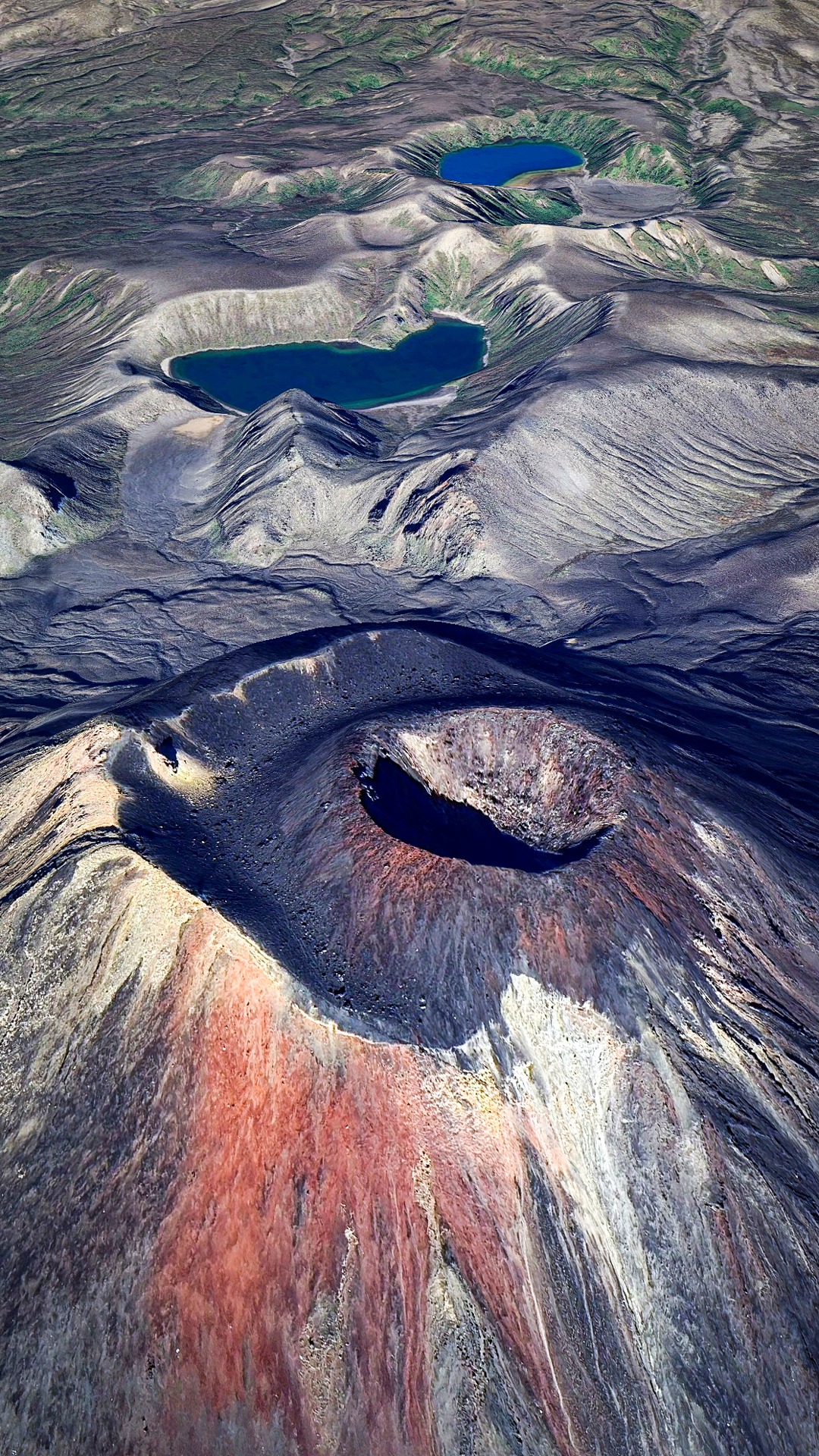
On a fine day the view from just below the summit is one of a volcanic wonderland. Both at once calming and serene, and full of malice. Lakes sparkle below and the snowy summits of Ruapehu shine in the distance, while fumaroles at your feet send steam and sulphureous gases into the air reminding you that the Earth’s crust in the Taupo Volcanic Zone is being stretched where the Pacific tectonic plate is being subducted and it is some of the thinnest in the world, and molten magma lies not too far below.
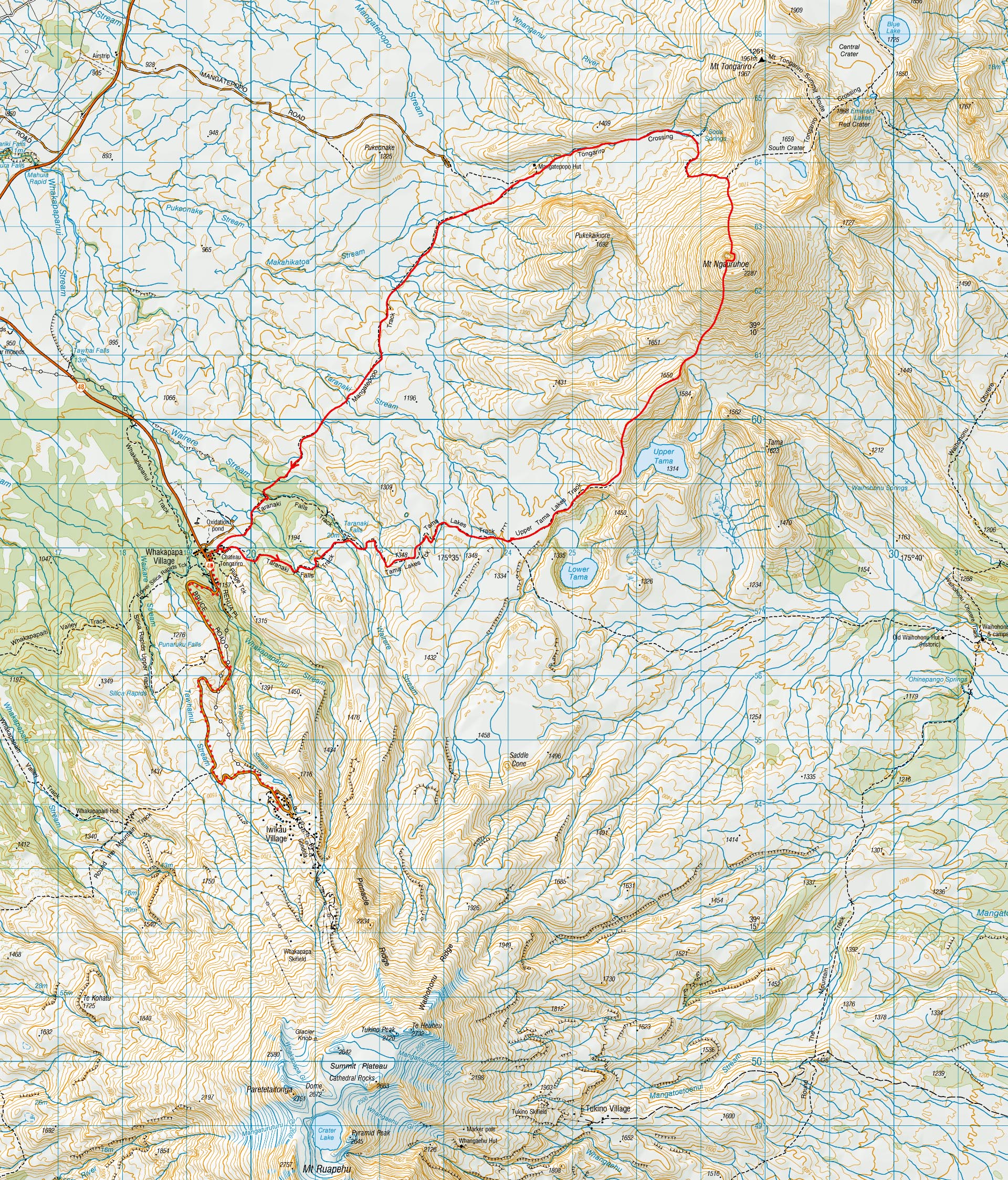
For a MF/F trip from the lodge drive to the start of the Tama Lakes track behind the Chateau and head off towards Upper Tama Lake. At the lake viewpoint head along the ridge directly towards Ngāuruhoe and just keep going. The climb up the scoria is the same as scoria anywhere else, and mostly ok once you get the hang of it, and soon enough you are at the top. Spend some time here, climb down into the crater, and wonder when it will next erupt.
Then down the northern slopes onto the Tongariro Track and back to the Chateau carpark to end a nice day out. About 12 hours.
Highly recommended.
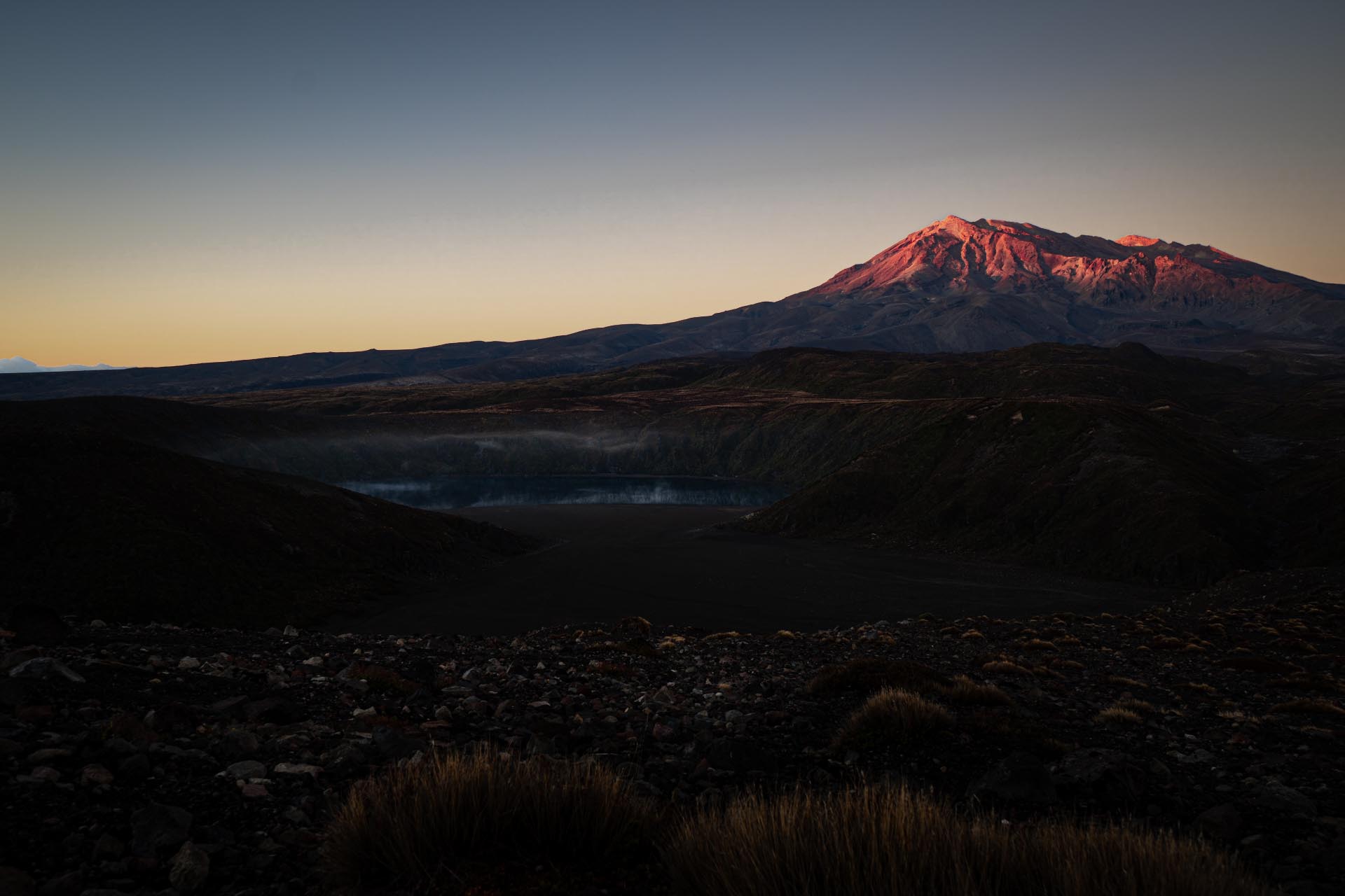
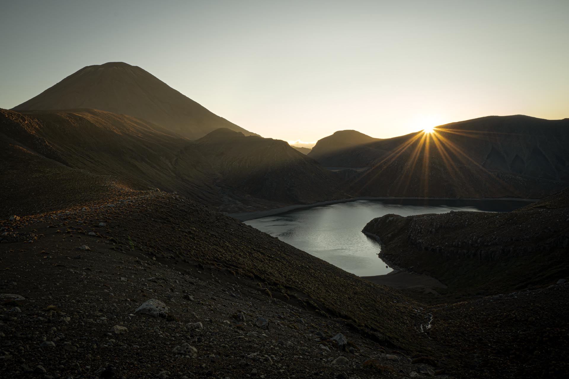
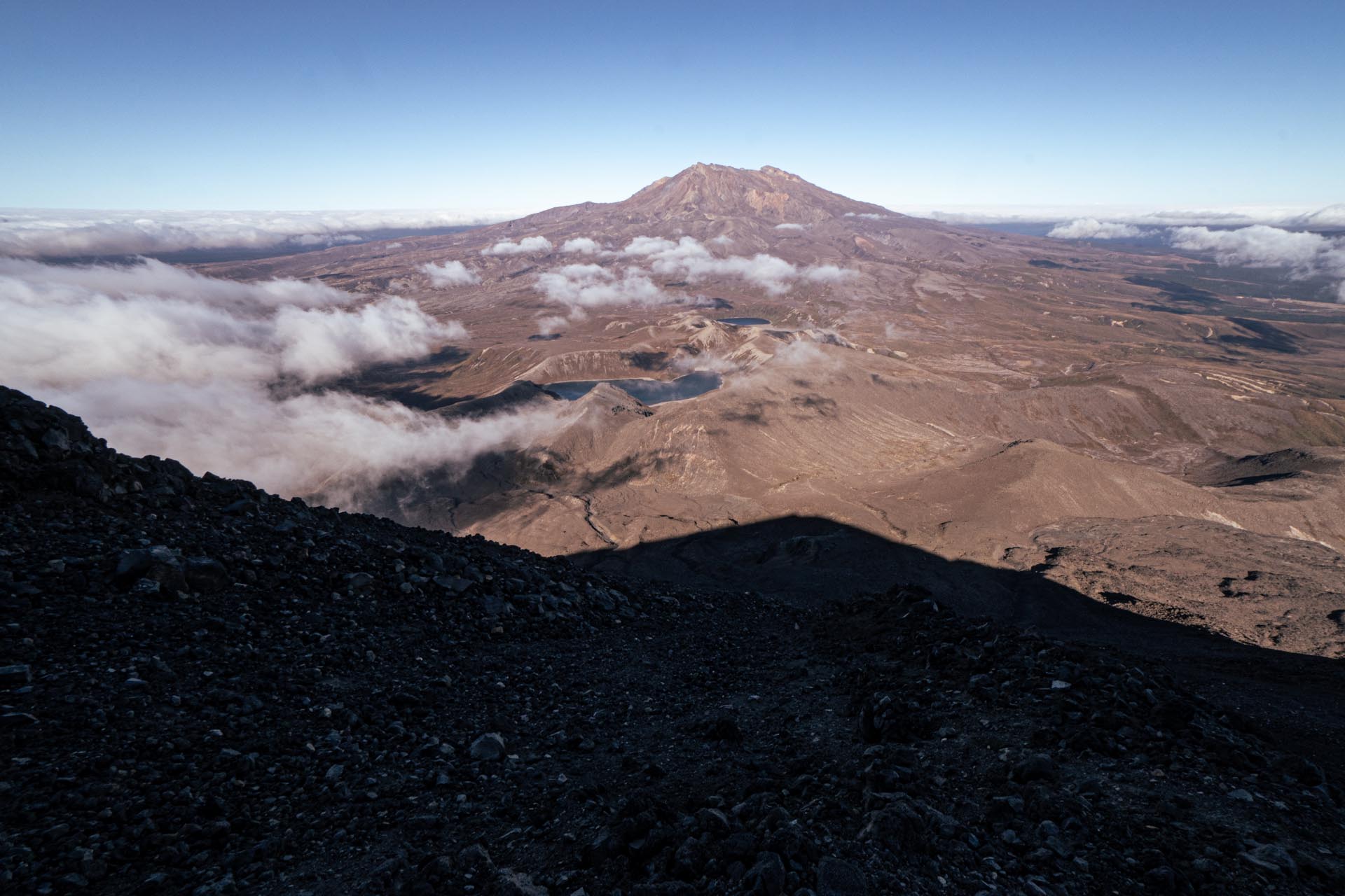
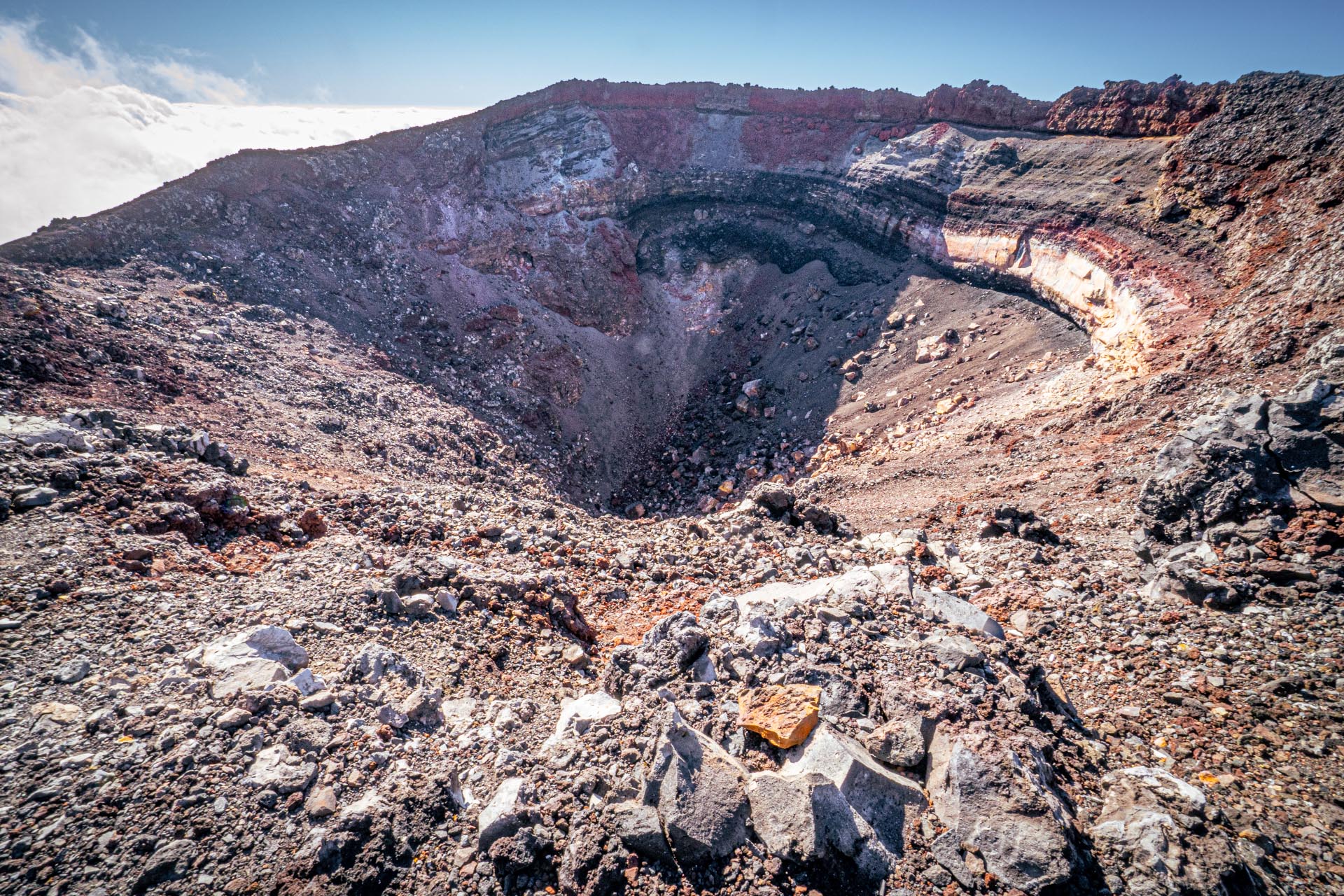
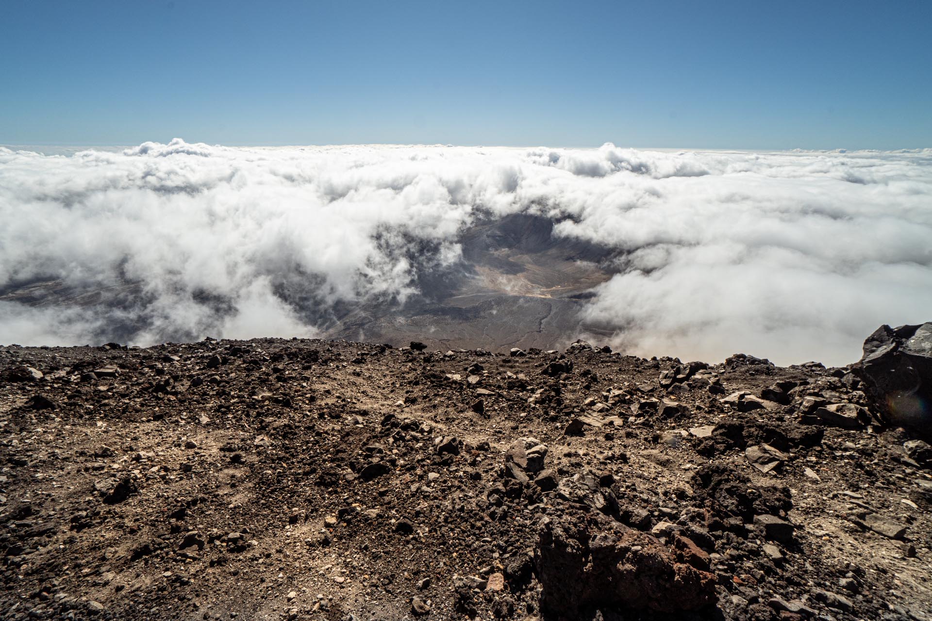
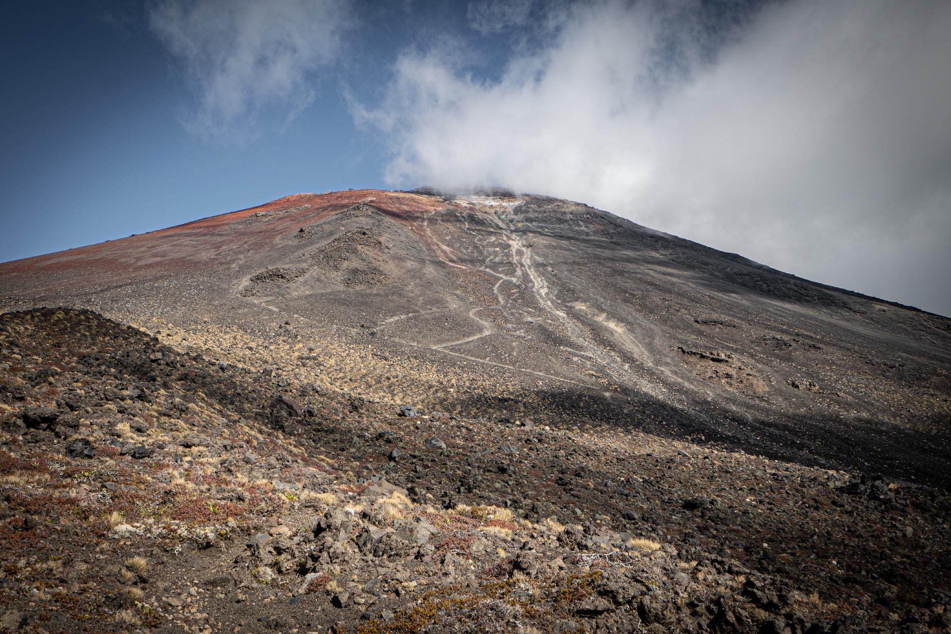

Great photos, as expected.
But this comment is not primarily about this trip report but about the new-look website. What has happened to the Forum and the links to old Newsletters, old Journals, the Cookbook, etc? And is their absence simply an oversight or is it intended as a permanent feature (or should that be non-feature)?