
In late-2025, the Club put out its summer trip list and for this trip there was a ‘leader required’ note on it. Being keen as ever, I suggested doing it over 3 days which would make it a medium trip, and volunteered to lead! Within a few weeks we had 13 in total wanting to do the trip. Because transport presented some challenges we agreed to have one party leave from each end, and swap car keys in the middle. In the end there were 9 starters.
As the weekend approached the weather forecast got progressively more pessimistic, but I was keen to go ahead. I led the 5 of us going from the Kaitoke end.
We got to the road end and ready to walk at about 8.30am on Friday morning. Interestingly the day was really warm but windy, and as we got further up the Marchant Ridge the heat seemed to be worse, alternating between being a bit too cool when blasted by the wind, and too hot when the wind was light. At about 1pm we got the news that the crew leaving from the Otaki end had decided the winds were too strong to be out on the tops and by then the wind on the Marchant Ridge was uncomfortable, and becoming steadily worse. We also received an updated weather forecast at that time : ‘Satuday, low cloud and drizzle… wind at 1000m and above: westerly gale 75kph rising to 100kph. Sunday, partly cloudy with isolated showers… Wind at 1000m+ Severe northwesterly gale 100kph for a time in the morning’. At that point I negotiated with the team and we made the call to head down the Block XVI track and head for Tutuwai Hut. None of the team took much persuading, as we were all uncomfortable.
On Saturday we agreed to go up Mt Reeves as a day trip and go to the plaque that was installed in 2019, marking the centre of the NZ continental shelf. This is NOT at the top of Mt Reeves which is what I thought. Fortunately the data reception on top of Mt Reeves is pretty good (so are the views). The plaque is on the far side, at an elevation of approx. 750m, so ~150m down from the top. I didn’t get the exact coordinates but it is close to 1798730E 5456936N.
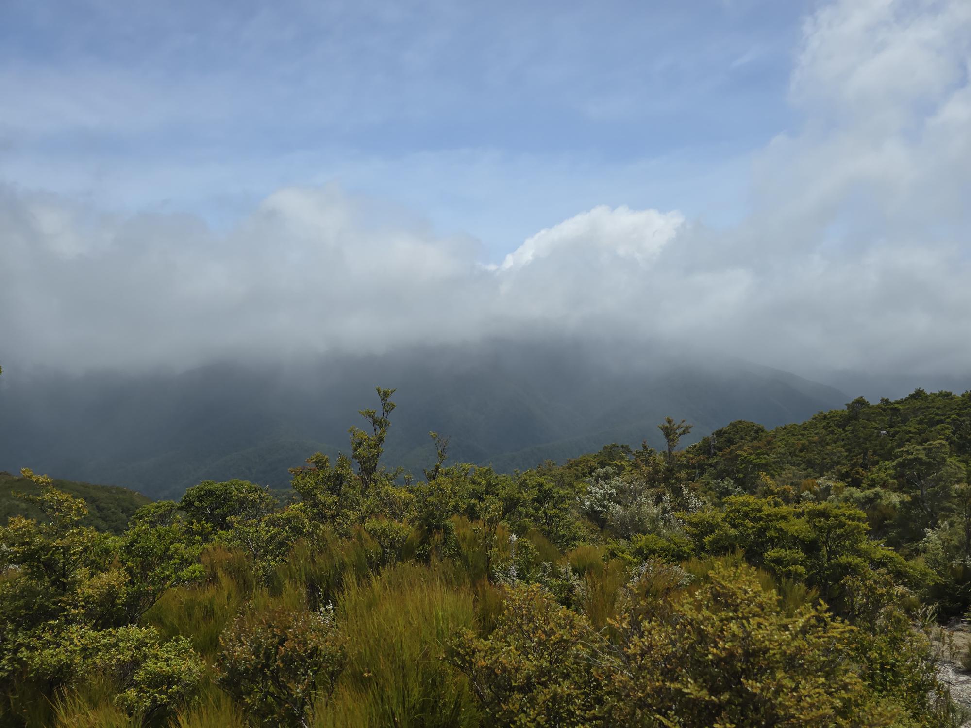
Both on the way up and down to Mt Reeves there are several patches where the bush is pretty open and is scrub rather than bush. On those spots we estimated the gust at 80kph or more, and most of us got blown sideways a step or two by the wind . There was no cloud cover on Reeves but Mt Alpha was not visible at any point, and the clouds that were moving over the Marchant Ridge were going ‘pretty fast’. All of us agreed that attempting a Southern Crossing that day would not have been a great plan, an attempt would be outright fool-hardiness at best.
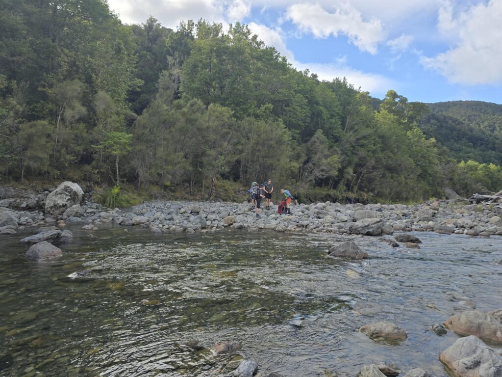
On Sunday we made our way back down to the spot where Block XVI comes out, crossed the river and travelled down the true right of the Tauwharenīkau River. I have been down both sides of the river in the last year or two, and think that the true right is nicer, at least from there down.
Over the Puffer Saddle and down the other side, and nice to be back home.
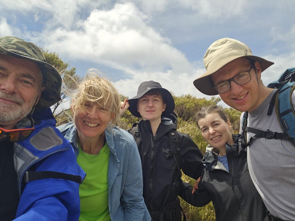
Heartfelt thanks to Ingrid who did a fantastic job running the vegan meals, which were really yummy. Also to Maj-Britt who brought her experience and enthusiasm to the trip with her. Matthew and Julian also contributed their good humour, strength and enthusiasm.