Arthurs Pass to Mt Cook
A hiking trip from Arthurs Pass to Mt Cook stopping just short at the Godley Valley when the weather changed for the worse and we ran out of time.
This guide covers route details for a 14 day tramp on the east side of the Southern Alps from Arthur’s Pass to the Godley Valley during Dec 2015/ Jan 2016. Our trip planning was helped by several websites and blogs and so we hope that this document will be pay back and help anyone hoping to do some or all of the same route. But note that this is not the only possible route—just one of many.
The weather encountered during our trip was stunningly good, and it should be remembered that snow and river conditions can vary from season to season and year to year. But I hope anyone using this guide will have as much fun and enjoy the adventure as much as we did.
Day 1 (5hrs): Klondyke Corner to Carrington Hut
After coffee with friends Rennie and Geoff at their refurbished Arthur’s Pass B&B we got a lift to Klondyke Corner to begin the trip.
Starting on the true left of the river in very low flow conditions it was just a case of heading straight up the river and joining the track on the true right after about an hour. It was approximately 5 hrs before we reached Carrington Hut.
Day 2 (10hrs) Carrington Hut to Park Morpeth Hut (part of the Three Pass Route)
Heading upstream from Carrington Hut we entered the White River walking up the river bed to the Clough Cableway.
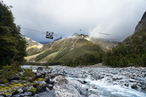
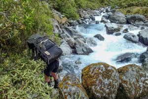
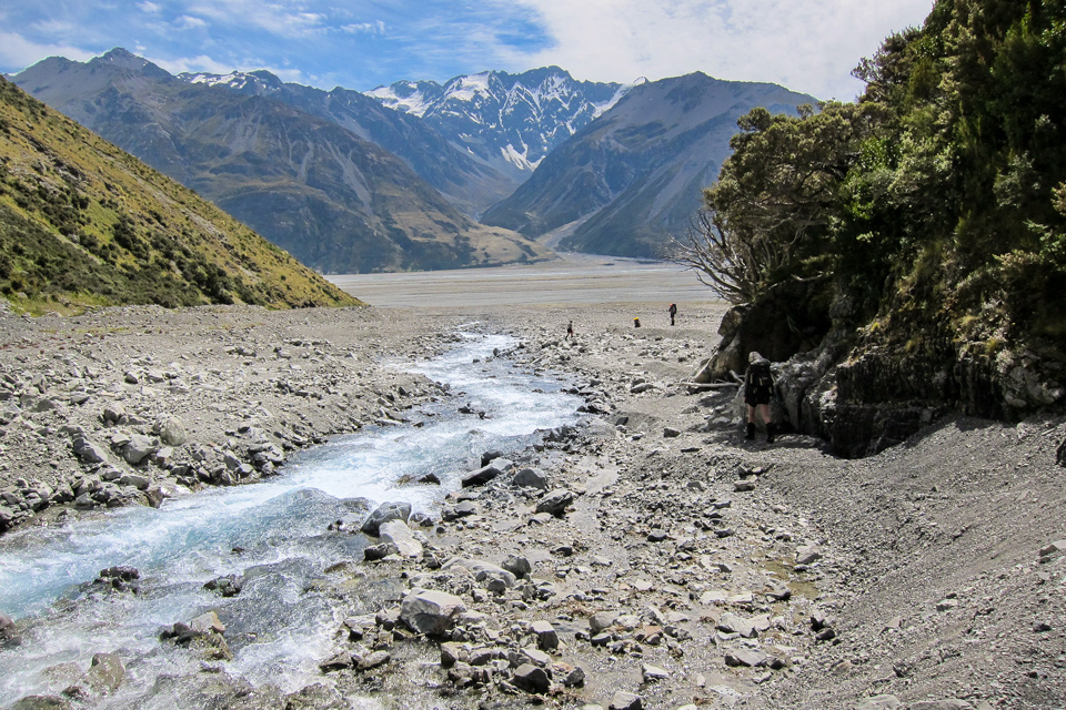
This would be very useful in high flows and it works (because we tried it)! Having crossed to the true left we turned into the Taipoiti River which joins just 50 m upstream of the cableway (see picture at left). The going is rocky at first getting increasingly gorgy in the middle reaches (which could be a problem in moderate to heavy flows). Eventually we arrived in a basin beneath a waterfall at which point a marker pole shows the route out via a small spur on the true left. Above the waterfall it is an easy meander across an undulating area of vegetation to Harman Pass, marked by a large boulder with a cairn on top.
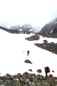
In misty conditions we headed south west skirting around the tarn onto an area of boulders and scree. Here we could find no cairns (probably because of the limited visibility) but located the stream which we then followed up until we came to a snow filled valley leading up to Whitehorn Pass. In soft snow it was not too much trouble ascending, kicking steps along the way.
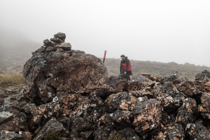
NB: In these conditions it would have been easy to continue straight up this valley thus missing the pass altogether. Instead as the gradient begins to get a lot steeper and the valley begins to open out on the right keep an eye out for the orange marker (circled in picture below) over on that side, which indicates the saddle.
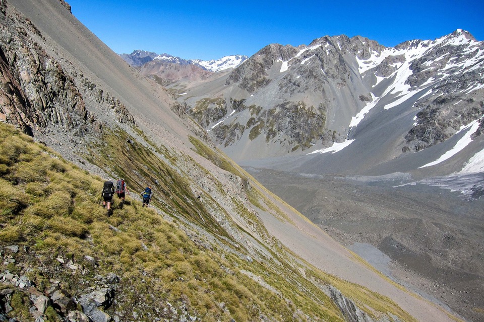
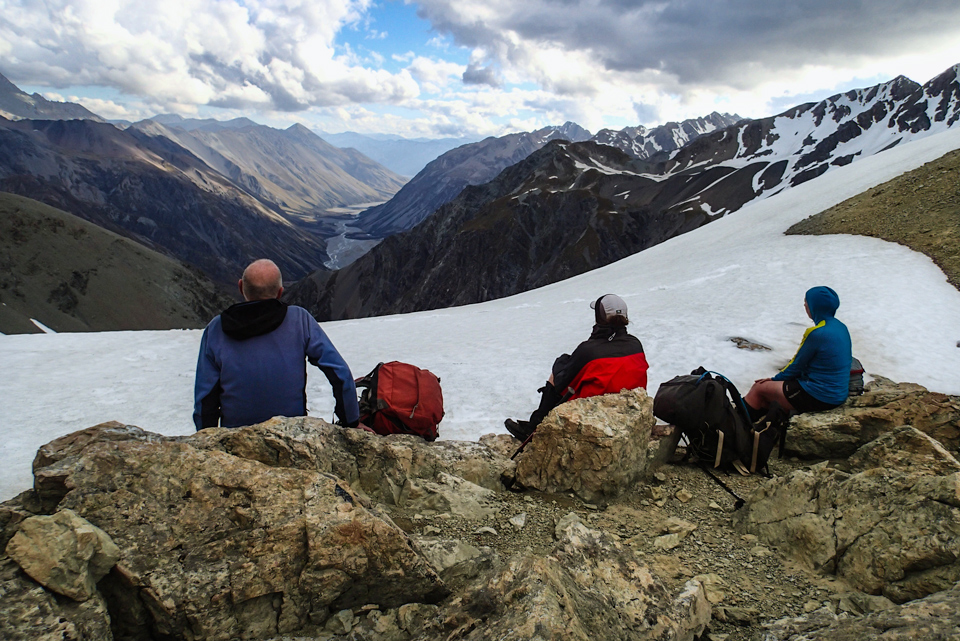
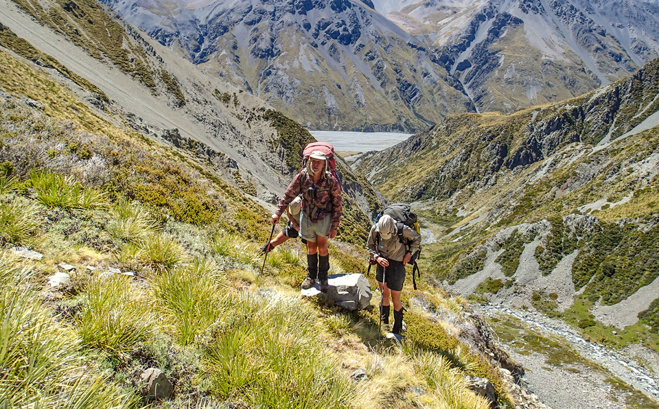
From here you get good views of the Cronin Glacier. We continued over the pass, sidling left and down, crossing one or two brief sections of snow. After reaching the Cronin Stream we descended briefly on the true right sticking close to the snow filled stream navigating the descending washouts of fine scree, some of which were not as soft as they looked with compacted snow just beneath the surface—making them very slick.
As the snow disappeared and the valley began to open out we left the scree and crossed over to climb out onto the flatter area on the true left. We continued down on this side until we were about 1 km away from where the marked track should start. At this point we dropped back down to the stream and sidled on the true right over some rough areas of scree eventually picking up a track marker at the bush edge. This track then took us up on the true right past some tarns ending up at Park Morpeth Hut and the Wilberforce River.
Day 3 (9hrs) Park Morpeth Hut to Moa Stream Hut.
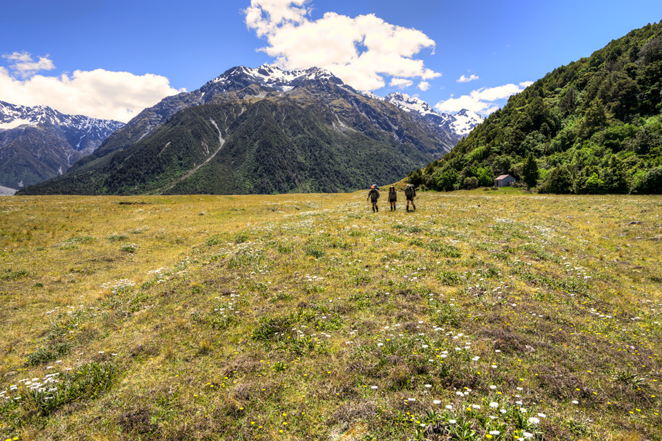
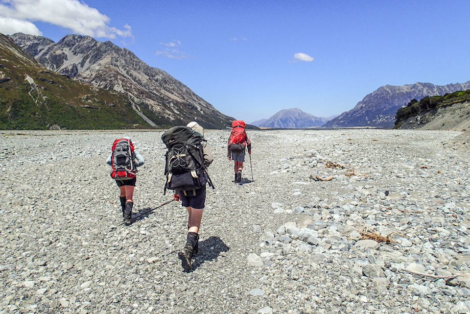
Leaving the hut we spent the day descending the Wilberforce River making the most of some nice open river flats on the true right.
We crossed Griffiths Stream and Unknown Stream just above their confluence with the Wilberforce. The water here was fairly fast as these rivers make a last drop in order to reach the level of the Wilberforce but in the dry conditions these crossings were manageable and good practice for later.
We now continued down the Wilberforce river bed on the true right only regaining grassy river flats close to Moa Hut. Using these river flats we could cut the corner as we turned right into Moa Stream where we were quickly obliged to once again return to the river bed.
Moa Stream Hut is some 5 km up river and is set back some way from a wide area of open riverbed—look for an orange marker on the true right at the base of an embankment, and the hut is back someway in the trees. (nb: The only water at the hut was coming off the roof into rather scummy looking `open` water barrel—we took ours from the river.)
Day 4 (8hrs) Moa Stream Hut to Boundary Basin
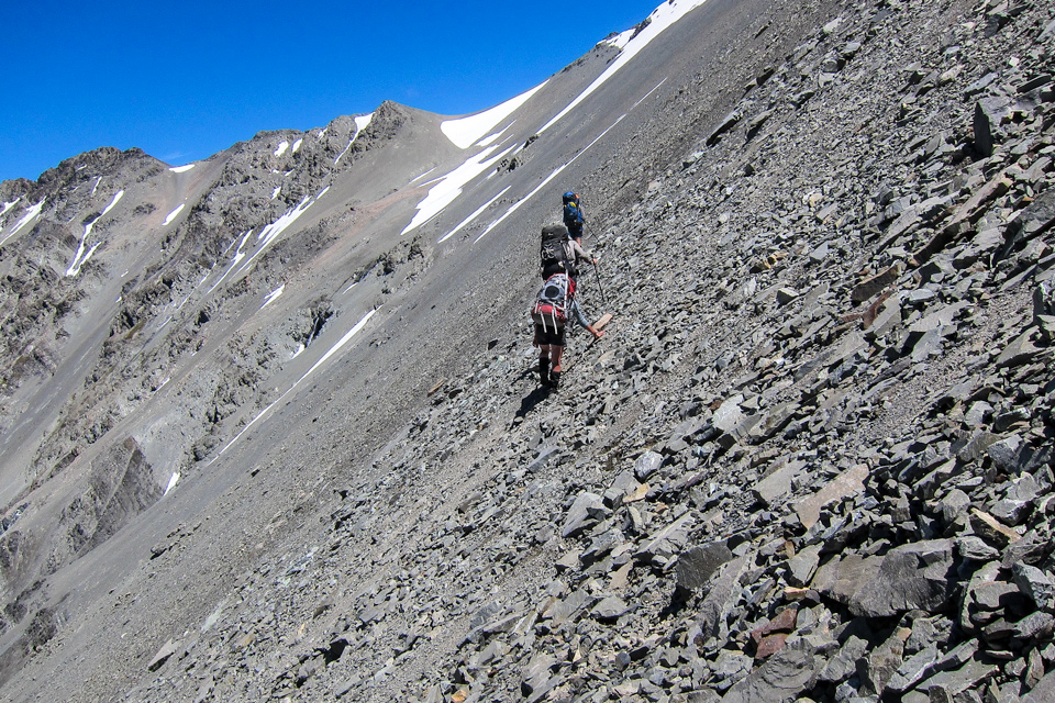
We continued up the true right of Moa Stream which then began to narrow. The flow was steep and swift so we were forced to remain on this side skirting the edges as best we could with some short bush bashes required to get around obstacles. Eventually we reached the base of the scree slopes that would lead us up and over into Boundary Basin. Topping up with water we began the long climb to the saddle north west of point 1896.
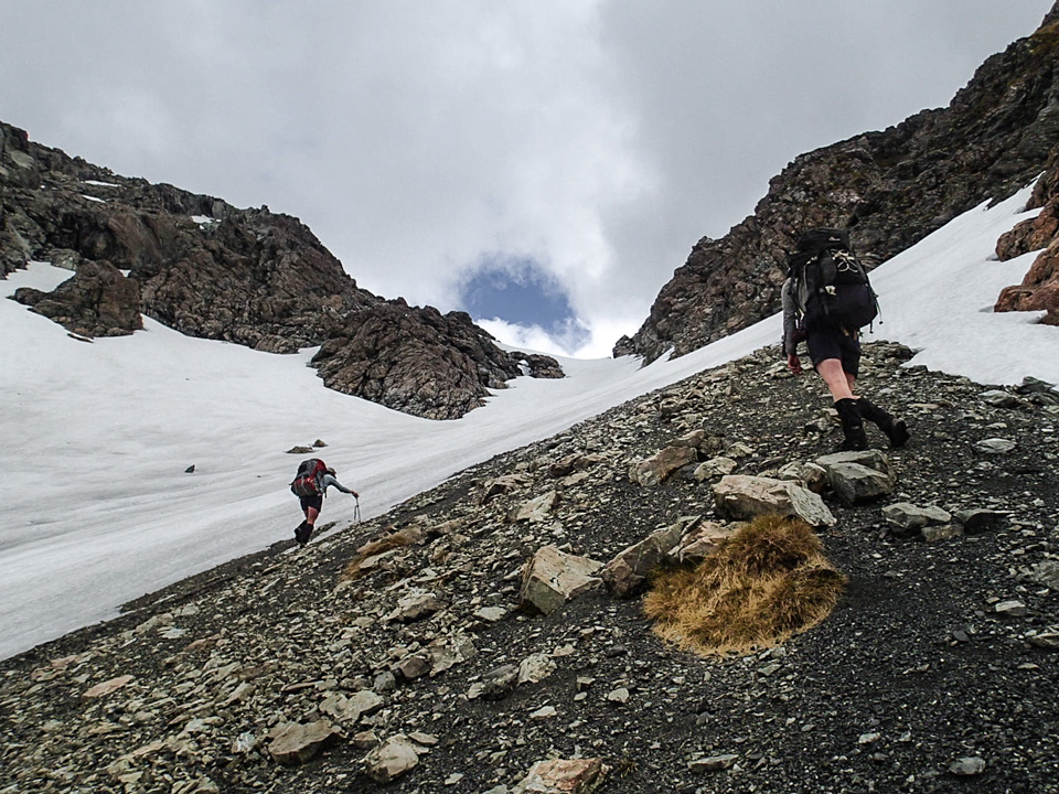
The final section towards the saddle was covered by snow but we happily climbed this by kicking steps.
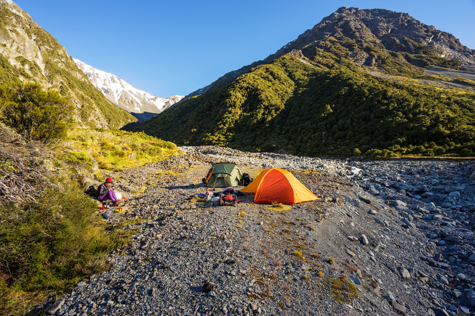
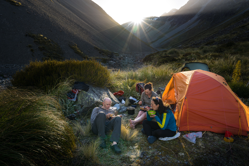
Almost as soon as we reached the saddle the mist rolled in so visibility on the other side became limited. We could make out snow on the right and some bluffs on the left and we descended into Boundary Basin aiming slightly left until we could hear running water. Eventually the scree ended and the ground became flatter and vegetated. Here we managed to eke out a campsite among the rocks and spaniards.
Day 5 (9hrs) Boundary Basin – Mathias River Flats
We left the campsite following Boundary Creek picking up a reasonable animal track on the true left leading to some grassy flats above.
Crossing these flats onto an area of scree the creek had become very gorgy down below. Owing to the changing nature of the scree and some bluffs we were forced to descend it (rather than traverse) to just above a small mound above the stream.
From here it was down into a side creek which ran down the scree slope and back up again to the vegetated slope on the far side – on which a worn path was visible. Following this path for a short while we came to the top of a small stream which we then descended into (our route down). The stream descended steeply but manageable before coming to a waterfall which had to be bush bashed around on the true right. NB: This was tricky as the sides were very steep and scrubby at this point.
We then arrived on a rocky rib with the stream on the left and what would have been a high water spill channel on the right.
Luckily at we could drop of the end of this rib (towards the left) and descend the final few metres back down to Boundary Creek. From here it was easy going to the North Mathias River junction.
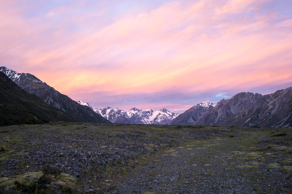
From here we headed down river camping on the Mathias River flats about 5km up from the confluence with the Rakaia.
Day 6 (12 hrs) Mathias River to Jagged Creek in the Rakaia Valley
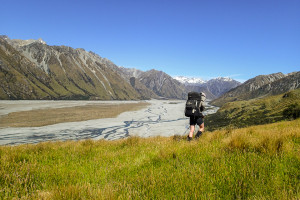
This was the day of the Rakaia River crossing! We set of early (on the true right) rounding Manuka Point into the Rakaia valley in trepidation of the crossing.
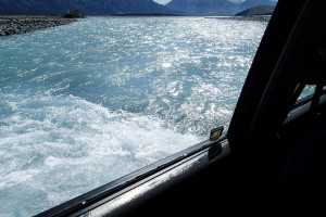
At this point our Christmas arrived a day early as our very own Santa Claus came surging through the Rakaia from the far bank in his gleaming Toyota Land Cruiser (it pays not to be naughty)! After taking pity on us this unorthodox looking Santa decided to give us a lift to the far side as a crossing by foot anywhere around here was going to be out of the question (the hot weather was causing additional snow melt and spring-like river flows). NB: Plan B at this point was to venture further up river on the true left to seek out a crossing, going as far as Ramsey Lake if necessary. The outlet of Ramsey Lake offers a wadeable crossing point which then negates the need to cross the Rakaia altogether.
Still stunned by our good fortune we found ourselves on the far side of the Rakaia wondering if we were dreaming.
From here we proceeded upriver on the true right cutting across farmland behind Whaleback Hill and across some matagauri covered flats before the river halted our progress with an un-crossable braid hard up against Prospect Hill. At this point were forced to bush bash up to Windy Tarn and joined the old farm track above the river from where we gained great views.
Unfortunately the track was damaged in places requiring some scrambling around the washouts and a prickly bush bash above and around the worst section. The track ran out a short distance before Jagged Stream where we set up camp for the night amongst the matagauri.
Day 7 (14 hrs) Jagged Creek to Lawrence River via Butler Saddle
The morning started with a long walk upriver, largely over relatively clear river flats on the true right of the river. We passed Reischek hut and just before Meins Knob picked up an orange marker on the bush edge that marks the start of an overgrown track that climbs around its downstream edge.
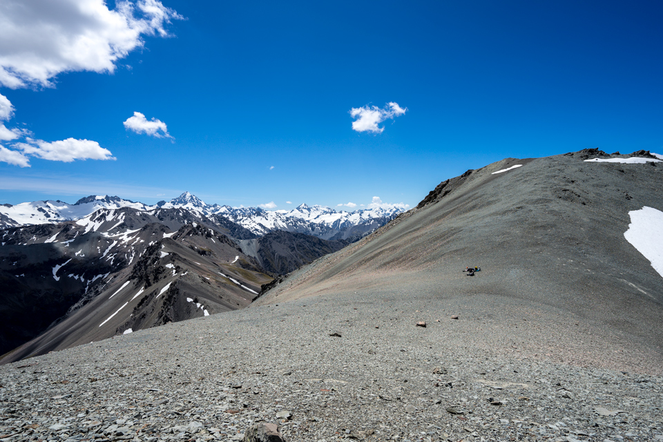
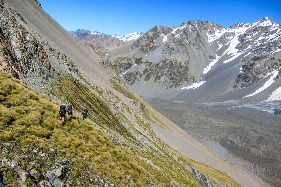
Difficult to locate at first the track rises steadily crossing a small stream before emerging into tussock. (at which point a few marker poles begin to appear). The track continues to climb around the head of a small gorge (to the left) at which point we left it to climb over steep tussock in the direction of Butler Saddle. Climbing beneath point 2030 we sidled the scree around and below point 1966 to reach the saddle itself.
From the saddle we tracked slightly to the right over the snow to reach the scree as soon as possible. Directly in front the snow continued down a considerable distance, and in one place offered a long and exciting bum-slide descent.
From here we descended to the un-named stream leading to the Lawrence River. This stream was difficult travel and took a long time to traverse
But eventually just as the light was fading we came to the confluence with the Lawerence River pitching tents on a small gravel terrace on the true right of ‘the stream as the nearby scrubby areas were unsuitable for tents.
NB: With hindsight a short way down the Lawerence River there are large grassy river flats (on the true right) in the vicinity of Lawrence Bivouac.
Day 8 (10 hrs) Butler Stream to Erewhon and our food drop
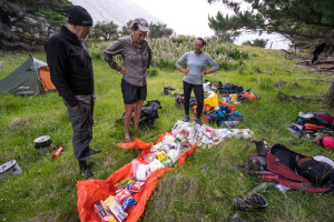
This was a full day of river travel down the Lawrence and then into the Clyde valley. We attempted to stay to the true left of the river bed as we approached Erewhon but the Clyde River this time decided to thwart us at the last moment cutting in hard against the bank. So another sidle on steep but open grassland for some 750 m before a short bush bash to regain the river bed. At Erewhorn we picked up our food drop before finding a nearby campsite and unpacking our goodies.
Day 9 Rest Day – with lots yummy eating and lazing about
Day 10 (7 hrs) Erewhon to Growler Stream
In the morning we managed to easily cross the Clyde near Erewhon station via a series of fortuitous braids. Heading for the Havelock we decided to avoid the river walk around point 768 and use an old farm track to cut the corner. This had the disadvantage of a bit of a climb but avoided any more river issues and gave some great views.
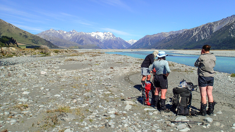
The track was good for most of the way but on the Havelock side it had begun to slip away on the last stretch – We could see the Growler valley opposite. Descending the slip debris at this point we reached the Havelock riverbed. NB: Having identified from above, a clear 4 wheel drive track across the northern end of a large island of Matagauri in the middle of the river (see above picture) we were able to cross it without difficulty.
The Havelock river bed took about 1hr to cross directly to the Growler Stream junction. A short way up the Growler Stream there is a reasonable track on the true left which enabled good progress to be made.
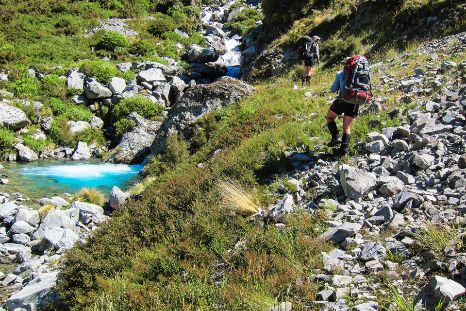
Eventually we came to a waterfall with a strikingly blue plunge pool at which point we were forced to climb around this section via a steep grassy slope on the true left (after jumping in the pool to cool off).
At this point the valley narrows with matagauri and tall spaniard plants closing in forcing a return to the stream edges and an eventual crossing to the true right around the 1100 m mark (at the last marked stream enters on the true right). From this point however the river bed and valley begin to open out again. Here the riverbed is filled with scree debris the stream shortly disappearing for a while beneath it. Continuing further up (at around 1,200 m) we found a small section of flat terrace on the true left. This provided enough room for two tents.
Day 11 (12 hrs) Growler Stream to Macaulay Hut
From the campsite it is an easy climb up the large bouldery scree, following the stream to a high basin beneath what we thought would be our crossing point of Balaclava Col.
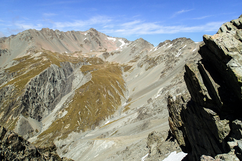
However on reaching the ridge we found some nasty highly shattered rock and quite a large drop to the scree slopes on the other side. After quite a bit of back and forth we located a route over, this being a fair way over to the right of the original point.
Dropping through our identified slot in the ridge there was a short scramble and then a sidle across a patch of snow to attain the main scree slopes. From here it was a long 1.5 km sidle over steep scree and the odd patch of snow to Plata Col.
From the Col we descended rapidly down to Toms stream in the knee-deep elevator scree. (I wouldn’t like to have to come up the other way!)
On reaching the stream the travel quickly became gorgy and it was not long before we came to an impassable waterfall. Luckily a small scree slope and rib of loose rock on the true left enabled us to scramble up and bypass it (descending a parallel scree slope on the opposite side of a narrow rib of rock dividing the two).
From here the stream opened up a bit and we proceeded to criss-cross our way down the rocky bed. On arrival at the Macaulay River we crossed it easily before climbing the embankment on the other side. Macaulay Hut was then a short distance away.
Day 12 Our only overcast and drizzly day – so a hut day
Day 13 (3 hrs) Macaulay Hut to Tindill Basin
We left the hut heading up the Lower Tindill Stream, climbing on to the tussock on the true left well before the 53 m waterfall shown on the map.
The route was straightforward into Tindill Basin with its clear blue tarn—a great campsite.
Day 14 (9 hrs) Tindill Basin to Rankin Hut and the Godley River
We headed to the right of the tarn to the lowest part of the ridge to cross over. In hindsight we should have taken the gap on the far left (in line with the two tarns). This would have brought us out onto a good scree slope leading directly to the valley floor. As it was we ended up traversing on the other side to get onto this scree.
The initial part of the valley floor is a mass of moraine, scree, and avalanche rubble making for tough travel. But once over this portion the valley is relatively wide and flat although the bouldery nature of the ground beneath the increasing vegetation would test us for most of the day.
On reaching the Godley River North Branch travel remained tough with the addition of matagauri and abundant giant spaniard plants. The flow of the river was strong but we did make one or two crossings, mainly to avoid thickets of prickly vegetation. In the lower reaches the river becomes gorgy and seeing the bluffs below and the curvature of the river we opted for the true right. This resulted in some difficult bush bashing only to switch again to the true left to avoid some bluffs. In hindsight sticking to the true left would probably have been the best option.
On emerging into the Godley River it was a matter of hunting out the best braids in order to get to Rankin Hut directly across on the far side. When we got there we found a large tree had fallen smack bang on the hut itself squashing it and making it unusable—but we found a nice campsite nearby.
At this point our plans had been to take us over Rankin Pass into the Cass and then over Rutherford Pass into the Murchinson and then to Mt Cook. Unfortunately we now had neither the time or the weather to proceed as a front was forecast for the following day. In expectation of this we arranged for a chopper to pick us up the next morning.
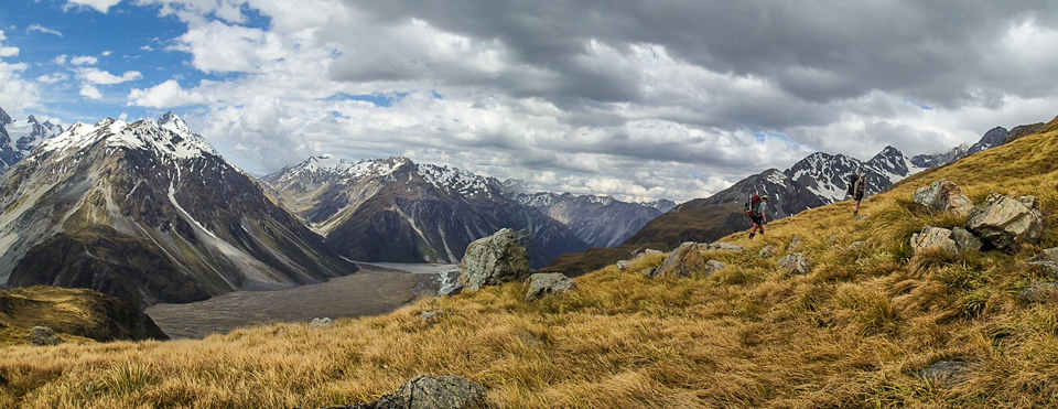
It was a shame not to have completed the final two days but considering the run of blistering hot fine weather we had had in the preceding two weeks we could feel nothing but blessed, well satisfied and happily tired.
Maps used: BV19, BV20, BW19, BW18, BX18, and BX17 (BX16 – the last one unused)!
For more photos go to tararuaphotos.com ⇛ Other tramping photos









Hello,
Thanks for all the details! I’m planning a similar trip. But I was just wondering how to get a food box to Erewhon. Did you drop it off yourself beforehand or did you find a way to send it here?
Thanks
Hi Quentin
We dropped off the food ourselves.
But you should give Erewhon a call they are chatty and helpful – check their website for contact details.
You need to get permission to pass thru Erewhon station anyway.
Tony
Some in here
https://www.flickr.com/photos/31418869@N07/albums/72157663164457381
HI Kevin
I would be very interested if you have any more photos from Park Morpeth Hut to Moa Stream Hut?