The five of us met at Wellington Railway Station and caught a bus at around 8.30am to Petone. At Petone Station we crossed over SH2 and headed to the Cornish St entrance of Belmont Regional Park, to start walking the Korokoro Stream Track.
Belmont Regional Park walks and map https://www.gw.govt.nz/parks/belmont-regional-park/
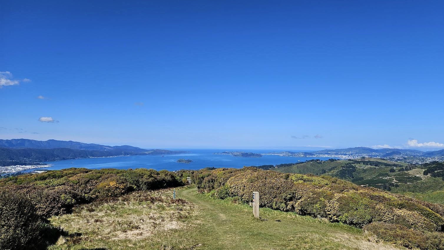
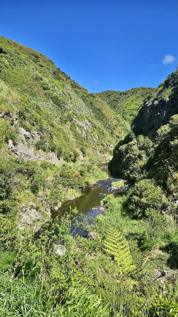
After a quick check of our plan at the map, we were off. The Korokoro Stream Track is very well maintained. We followed the stream for about 45 minutes before coming to the junction that would take us up to Belmont Trig (456 m) via Baked Beans Bend. We arrived at the Trig at around 11am and had an early lunch enjoying the views and perfect weather.
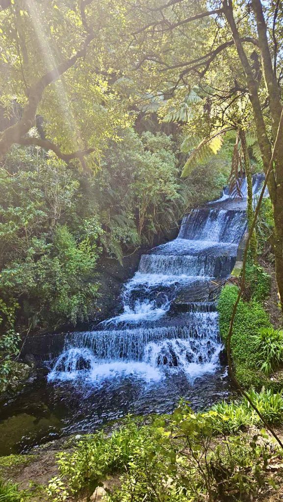
Deciding not to do the Dress Circle Track or continue on to Cannons Head (we would save that for a future Puke Ariki day walk), we headed downhill on a 4WD track to Stratton St. At a fork about two thirds of the way down, we headed off right into the bush back towards Korokoro Stream. At Korokoro Dam we stopped to have a look at the view before continuing along the Korokoro Stream Track to find Tin Hut.
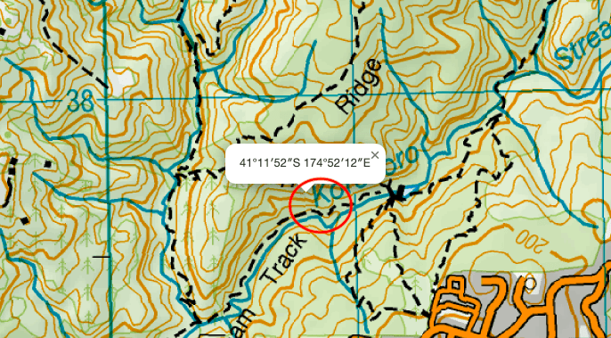
After the Dam, we crossed a bridge and then began looking out for the trap line markers that we had read about on the Hutbagger website (https://hutbagger.co.nz/) that were meant to lead us to Tin Hut.
After heading up the wrong trapline, we backtracked and found another trapline which was right on the most obvious bend (on the topomap) closest to Korokoro Dam. This trapline was quite a steep track, as you follow a ridge – and after about 10 minutes of walking (with a few scrambles in places) we found Tin Hut. The Hutbagger website had provided accurate coordinates for Tin Hut (41.19779S, 174.86996E) and it was also a good tip to follow the trapline, as it was well marked.
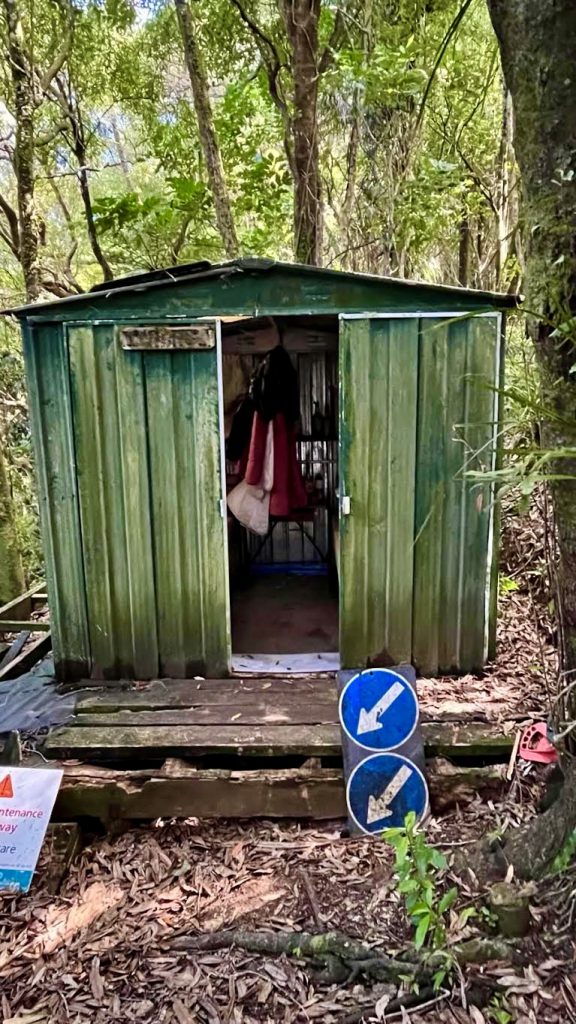
Tin Hut is a bit run down (as the is floor rotting), but it has a bunch of cool signs around the outside.
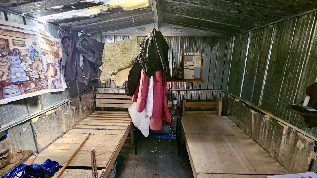
We had a break and a snack at the Hut before carefully making our way back down. Once back on the main track, it took about an hour to walk back to Cornish St.
Once back at the main road, we headed back to Petone Train Station and caught a train replacement bus at around 3pm back to Wellington.
All-in-all it was a great little day walk to find a hidden hut right in our backyard and it made us remember how lovely, close and accessible Belmont Regional Park is.
Petone Train Station – Korokoro Stream Track – Belmont Trig – Korokoro Dam – Tin Hut – Korokoro Stream – Petone Train Station.
Distance: 18.7km, ascent 688 m, descent 641 m
Elapsed time: 4 hours 20 minutes

