Private trip organised by Lynsey. Lynsey and Jamie did the trip in a clockwise direction, Tiffany did the trip in an anticlockwise direction
Summary of logistics, route and top tips
This was a mostly off-track tramp into a remote alpine area that skirts the Olivine Wilderness Ledge. There are a variety of terrains to negotiate, river travel, steep ascents and descents, rocky bouldering, mossy forest tracks and bush bashing. We had two PLBs, an InReach device, maps, compasses and two GPX files loaded.
Our trip took 7 days (and we had some nice short days) – we wanted to take our time and enjoy the great weather. This also included one day at Hidden Falls Creek spent in our tents, hiding from the rain. The trip could could be done in 4-5 longer days in good weather. It’s not the distance that takes the time – it’s the terrain, frequent backtracking/bush bashing and route finding that was time consuming and posed an additional challenge.
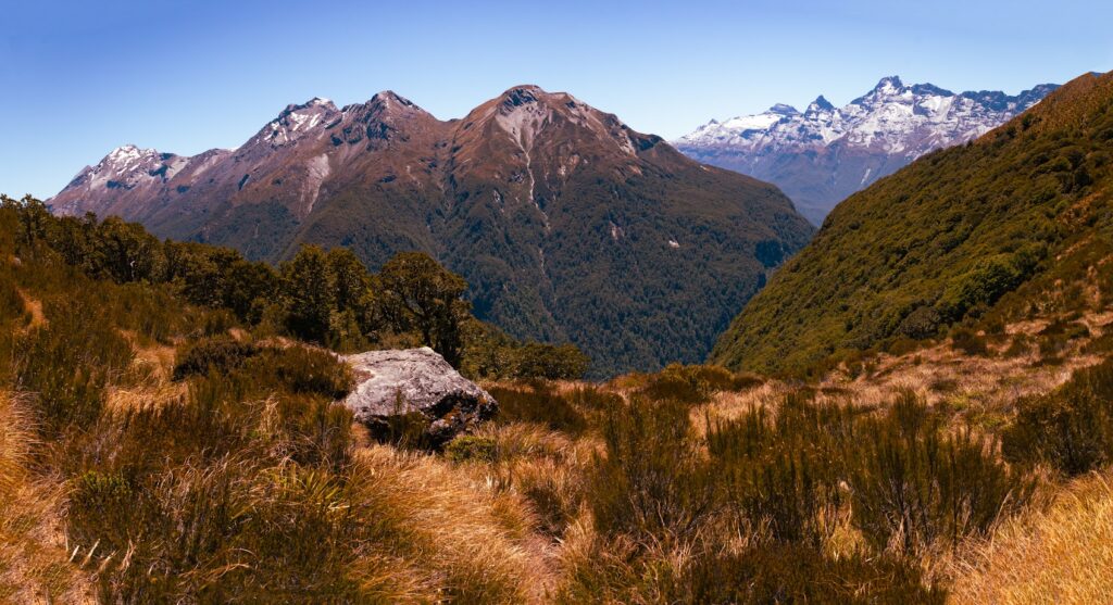
Shuttle – We chose Tracknet (but there are multiple other providers you could book with) – the cost was $118 return per person to Queenstown – with drop off and pick up at the Routeburn shelter (in hindsight we wished we’d asked to be picked up at the Lake Sylvan road end to save the 3 km walk to the Routeburn shelter at the end. But not sure if they offer this as an option –good idea to ask if they can pick up there ). They also provide return transport to Glenorchy. You can cancel your booking for free up to 24 hours before the shuttle picks you up. And once you’ve made your booking, you can change the date to suit your start/end dates – very handy if you are not sure when you are likely to finish.
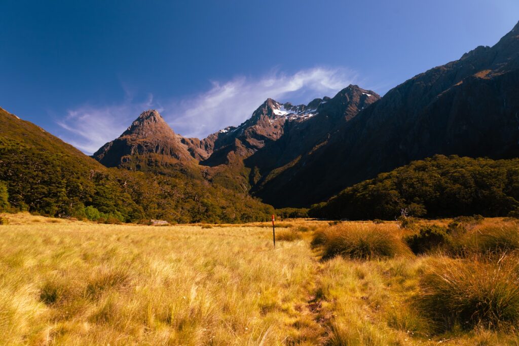
Route – We chose to do the route in a clockwise direction, as we knew there would be a rubbish weather day on day 3 and that we would need to hunker down. Doing the route up the Rockburn meant we could get to Hidden Falls Creek and have some sheltered camping on day 2 (which ended up being a perfect decision). We were unsure whether we would get such shelter on the Beans Burn side. Either direction would be fine – it depends on whether you’d prefer the rougher bush-bash track at the start or the end of the trip! (see section on Beans Burn).
Day one
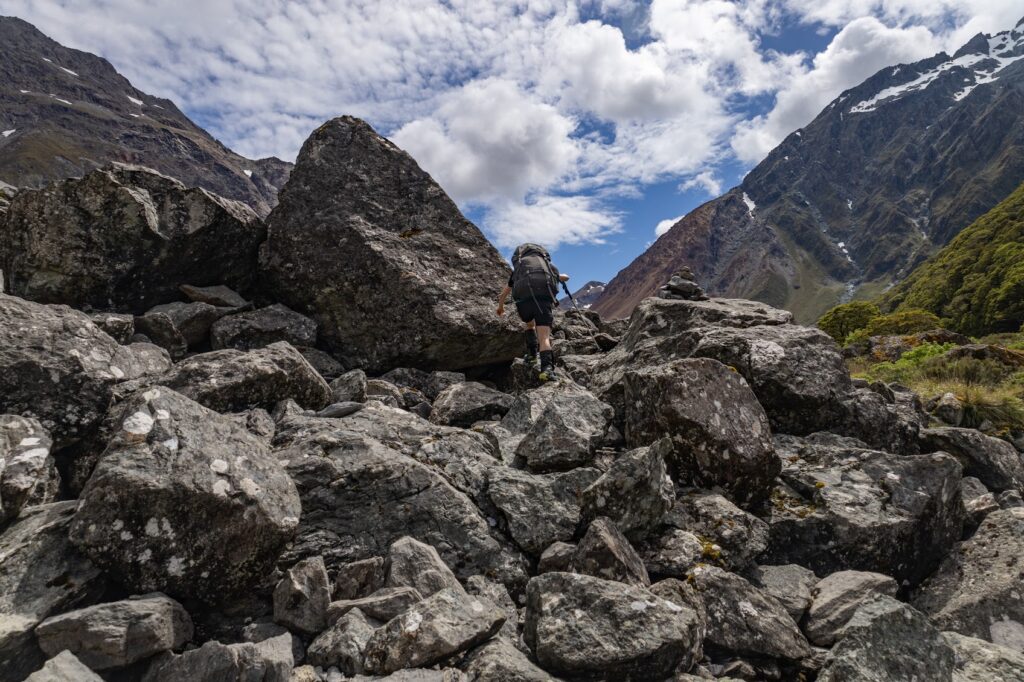
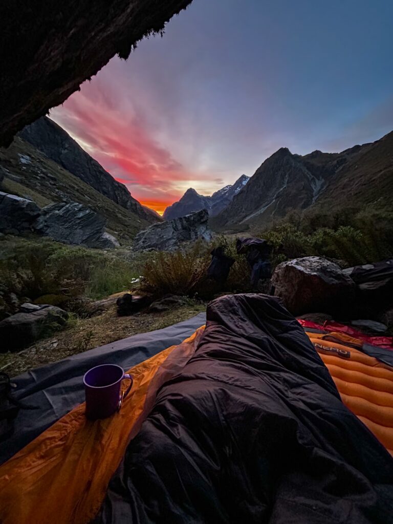
- Dropped off by shuttle – walk started at 10:45 am – arrived at Sugarloaf Pass at 12:35pm (a technically easy walk up through mossy forest to the boggy pass). Well-marked track with a steep descent to the river, then easy walking through river flats, undulating beech forest till the bridge and Theatre Flat (which we reached at 4:15 pm). There is great camping here and a reasonably sheltered rock biv to stay at. However we didn’t stay – deciding to push on to the rock biv under Parks Pass for the night. From Theatre Flat the route briefly enters a grassy plain, and winds up to a rocky spur through beech forest, descending again into more grassy flats. Once out of the bush, there is an open rock field to ascend. There are cairns in this area to guide you to the rock biv, but they are tricky to spot in fading light (look up to the bigger boulders, as the cairns are dotted along these higher up). We wound our way up the stream bed rather than tripping up in the alpine plants/shrubbery. We reached rock biv at approx. 8:00 pm (A 9 -hour day incl. breaks).
Day two
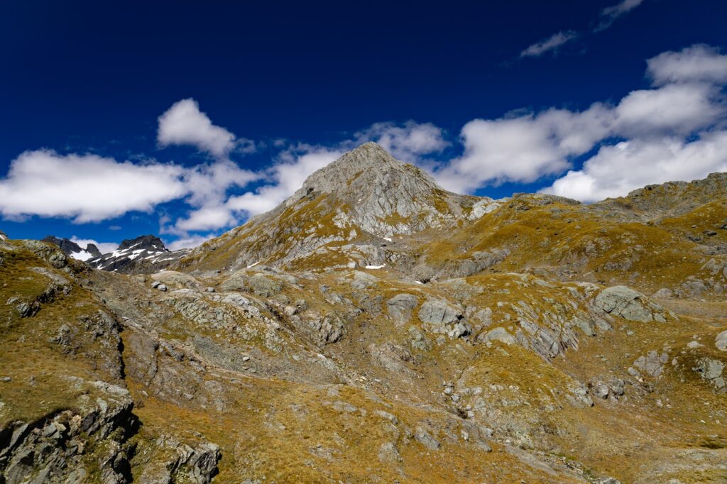
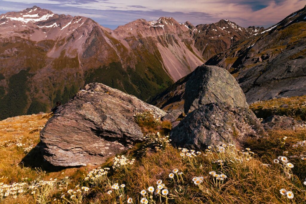
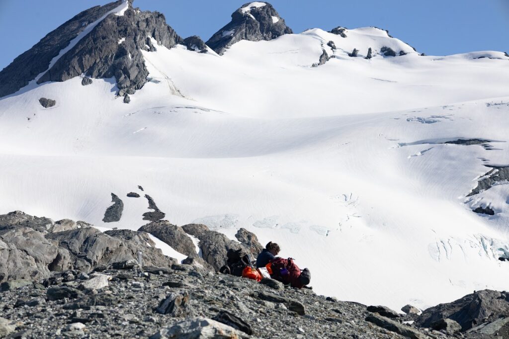
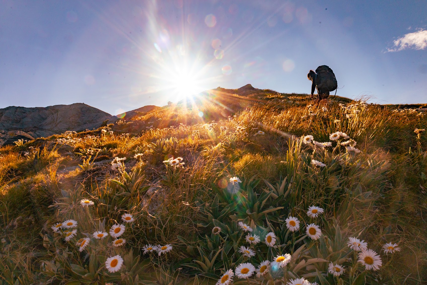
- Started at 7.30 am, and up to Parks Pass (which is half an hour from the rock biv). We spent the morning going up to Parks Pass Glacier – if you have time, don’t skip this – it was a highlight and only a 2 hour return trip). There is a faint route which goes up the rock face, which you can see from the Pass, through a gully. Once on the “top” of that, the spur winds up to the right, through tussock and alpine flowers (which were wonderful btw) to a scree and rock slope. This was a grunty climb to the top. There was really only a faint trail up and the occasional cairn – it would be handy to set waypoints on the way up, which you could follow on the way back down, if the weather is iffy. However, we had a GPX downloaded, and with good visibility you can just take your own line down.
- Back down at the saddle we found a red marker planted in the side of the hill to direct your ascent into the bush and down to the Hidden Falls Valley. Route markers and cairns were relatively non-existent. Getting down from the saddle to the bush entrance was our first challenge….the GPX showed we were on the route BUT there was a very steep descent through head high tussock and bush, with frequent bluffs and vertical steps to negotiate. There apparently is a cairn to mark the correct entrance to the bush (but we missed it). In the forest there is a trail. Eventually we found it by bushbashing down the spur to meet it. Once you are on the trail, it is obvious and it descends steeply for approx. 400 metres.
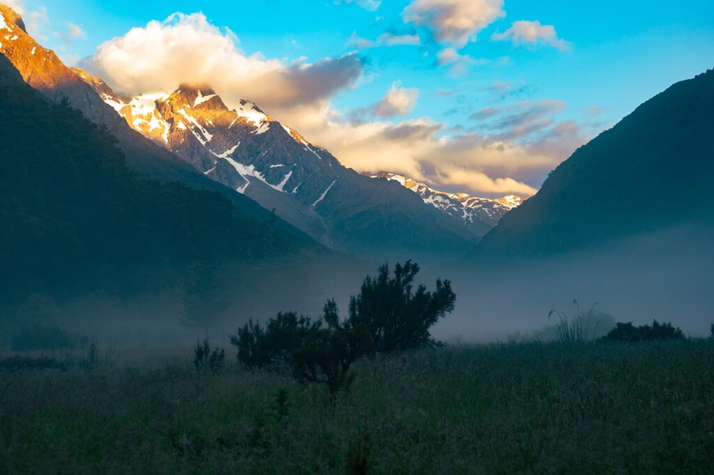
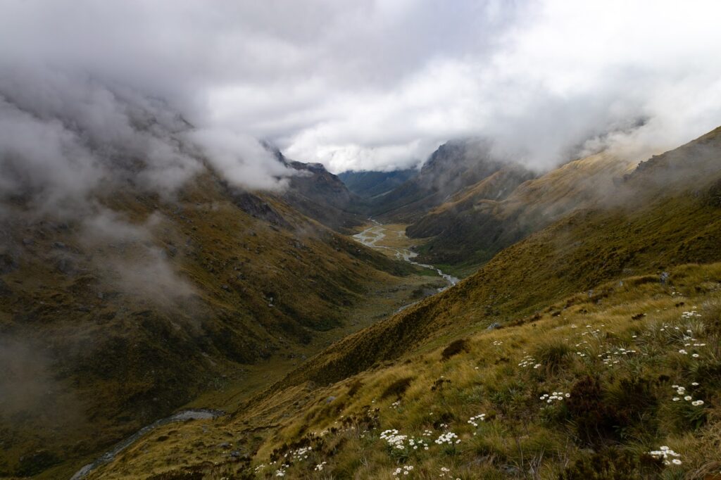
- Once in the valley, the trail is well marked with cairns through the forest, weaving through narrow bush, and fern flats, via the true left of the river. Some of the other trip reports suggested crossing to the true right, but we couldn’t see the point. This part of the trail was easy enough and we reached the camp spot at around 2:30-3:00pm (a 7 hour day incl breaks).
Day three
- It rained. We did nothing apart from some tent admin and killing sandflies. It was nice to chill and drink tea. Top tip – if your billy/pan comes with a mesh bag, this also doubles as a handy mozzie/sandfly net for your head.
Day four
- Thankfully the weather had cleared, and we headed up to Cow Saddle. We debated whether to push on over Fiery Col, but knew it would be a long day to go on to Fohn Lakes too, with not many camping options on the way (except a small rock biv). The route from Hidden Falls follows the river on the true left as it winds up the valley – sometimes weaving through the bush (again very narrow in parts so it feels like bushbashing) but mostly through a cairned route via the open river boulders. Nearing the head of the river, we crossed to the true right and over to a large boulder field. This is where the terrain changes from schist and greywacke to amber and fire red rocks.
- Popping up to Cow Saddle, we had lunch in the rocky tarned tussock fields (very boggy). We moved a bit further down Cow Saddle, nearer to Fiery Col, for a non-boggy camp spot.
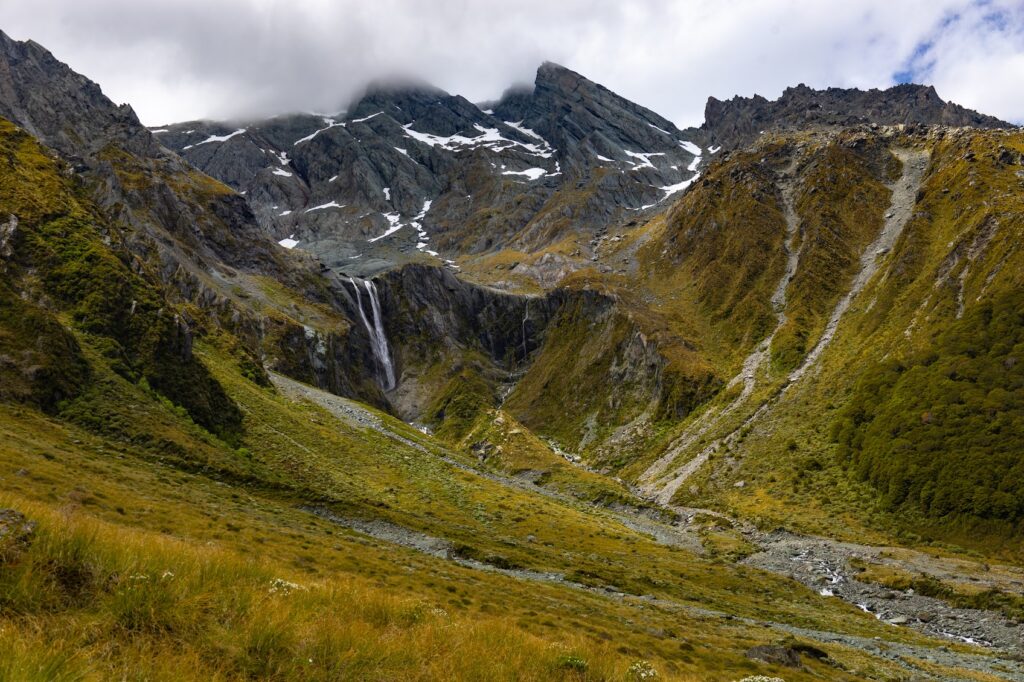
- We decided to set up camp and have a wander to one of the very impressive waterfalls under Tantalus Peak, leaving Fiery Col and Fohn Lake till the next day. Although the wind would give us a sleepless night later (it was tricky to find sheltered spots here in the very open tussock field) the afternoon sun in this area was wonderful (5-6 hour day incl breaks).
Day five
- We had a cold start to the day and it was hard to pack up our cold wet tents! We left at around 8:20 am.
- From the bottom, Fiery Col looked a bit intimidating, and it wasn’t obvious which spur to get on. We had spent a bit of time the previous afternoon wandering around to get our bearings (and spotted a cairn at the foot of the spur we needed to climb). In poor visibility and without the GPX to guide us through several ravines (only one is on the map) getting up to the Col would be tricky. It isn’t obvious where the route goes (at least from the bottom). However, we had good weather and this helped us find a sensible route to ascend. We spotted some cairns leading the way and the route quickly becomes more obvious the further you climb.
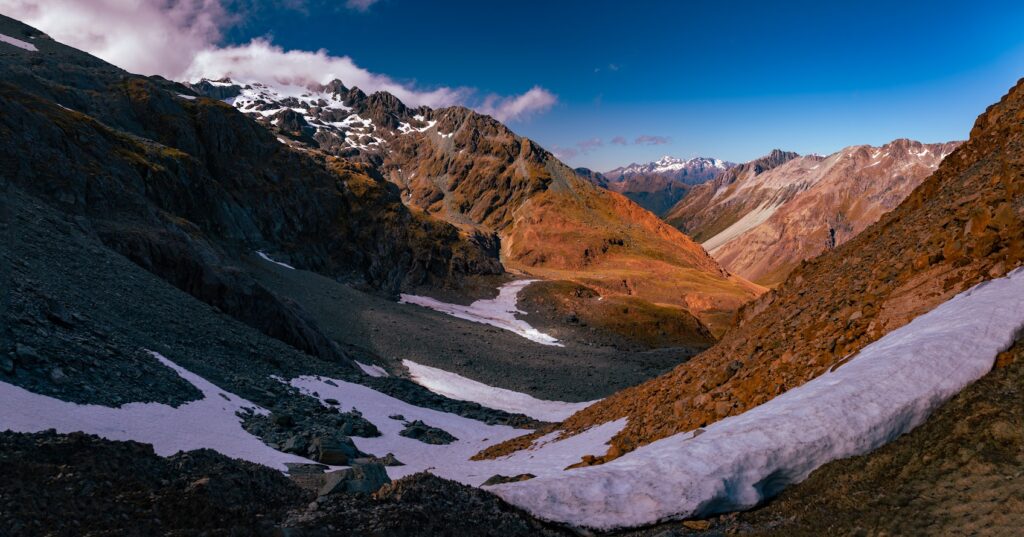
- The route up to Fiery Col is exactly as the name suggests – you walk up through fiery rock pillars to a very obvious couloir. The last 100 m had some soft snow that could be easily avoided. We wanted a mini alpine experience so we opted to kick steps in and traverse the snow. In front of the Col you can see the ledge of the Olivine Wilderness Area and more snowy peaks. We also saw planes heading towards Milford Sound buzzing overhead. We arrived at Fiery Col at around 10:15 am (2 hours incl breaks).
- The descent was slow going, owing to the big boulders you need to navigate and some scree. There are cairns occasionally on the way down, but they often proved to be more of a hinderance than helpful. The route then sidles along the contour line hugging the side of the hill for a few kilometres to the right. At the rock biv we had lunch and saw our friend going the other way (thanks for the intel Tiffany).
- Once en route to Fohn Lakes, the route follows a faint trampled line through waist-high tussock fields. This was tough in the heat.
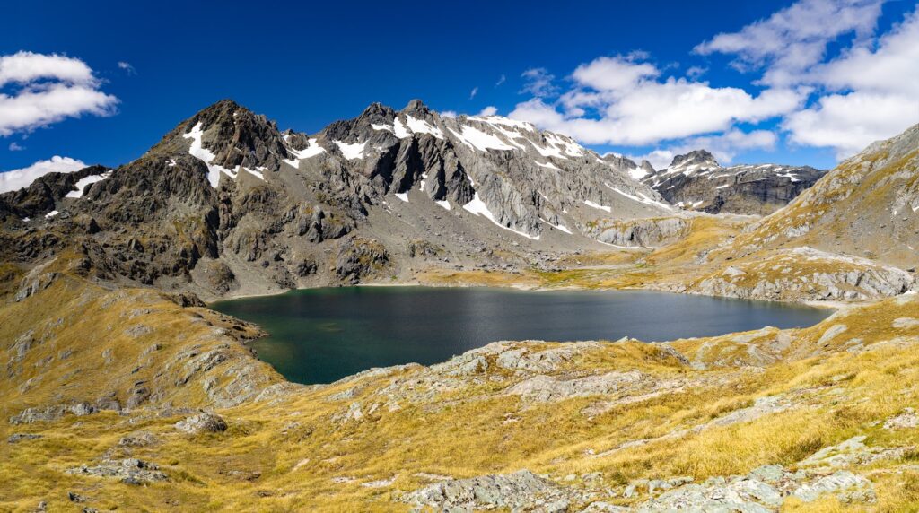
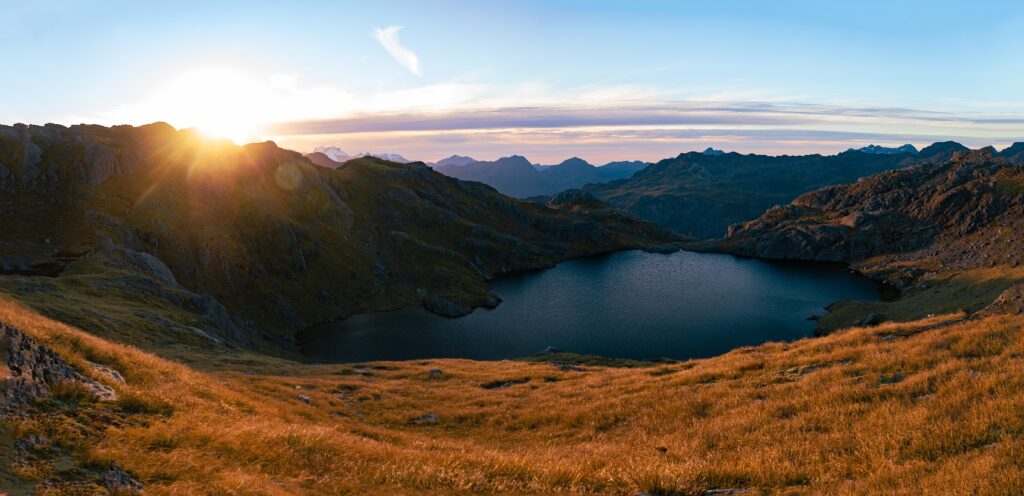
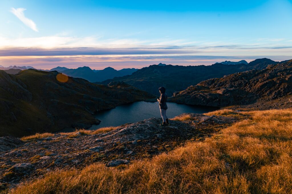
- The ascent up to Fohn Lakes starts through a faint trail up a grassy spur. On the right there is the most beautiful river, with absolutely stunning waterfalls and some epic infinity pools (we later found out that this is the lake outlet). The terrain changes to rock boulders and schist, with a final ascent up to the crest of the spur that overlooks the lake to the right and the tarns and outlet to the left. We arrived at Fohn Lakes at around 4:00 pm (Fiery Col to Fohn Lakes approx. 6 hours incl. breaks). Whilst the lake looked beautiful, it was cold and windy, and we did not want another sleepless night. So we opted to drop down to the tarns and find shelter. This was the best decision as the wind died right down and we were treated to a lovely sunset (8 – 8.5-hour day incl. breaks).
Day Six
- The long painful day had arrived. We knew this was coming. We had decided to meet the afternoon shuttle on day 7, so we needed to cover a lot of kilometres today. We set off from our camp at Fohn Lakes at 8:35am. The route to the saddle was clagged in and it was a bit confusing to navigate – the route is not intuitive and you need to wind through twisty rock faces. On the true descent to the pass, down through a rocky corridor, cairns marked the way sporadically. We were heavily reliant on the GPX.
- Sadly, there was no view from the pass. However, as we descended through the tussock spur, the weather cleared, revealing a twinkling Beans Burn below. The route descending the spur was at times only visible as a faint ground trail (ie a trampled grass path!). There was concern we would head down the wrong spur and there were some bluffs below us. There didn’t seem to be an obvious way to get down the spur. In the end we decided that any way down would be steep and tricky, with slippery snow grass. Using the GPX and intel from trampers it seemed that descending via the creek path would be best. In the end we made it down to the river after many bum slides! Our fellow trampers told us the Beans Burn was downright terrible!
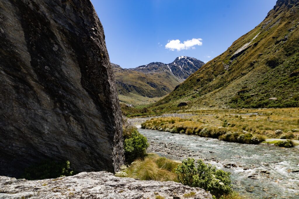
- Traversing the upper Beans Burn mostly involves rock hopping through the river or sidling over the boulders to the sides. The topo map indicates that it is an open area and that it is a relatively easy walk to Split Rock Biv. However, in reality, you need to weave through boulder laden rivers or push through alpine bush clad banks, snow grass and, at times, small patches of thick forest. The going is slow because of this, but it’s not too difficult.
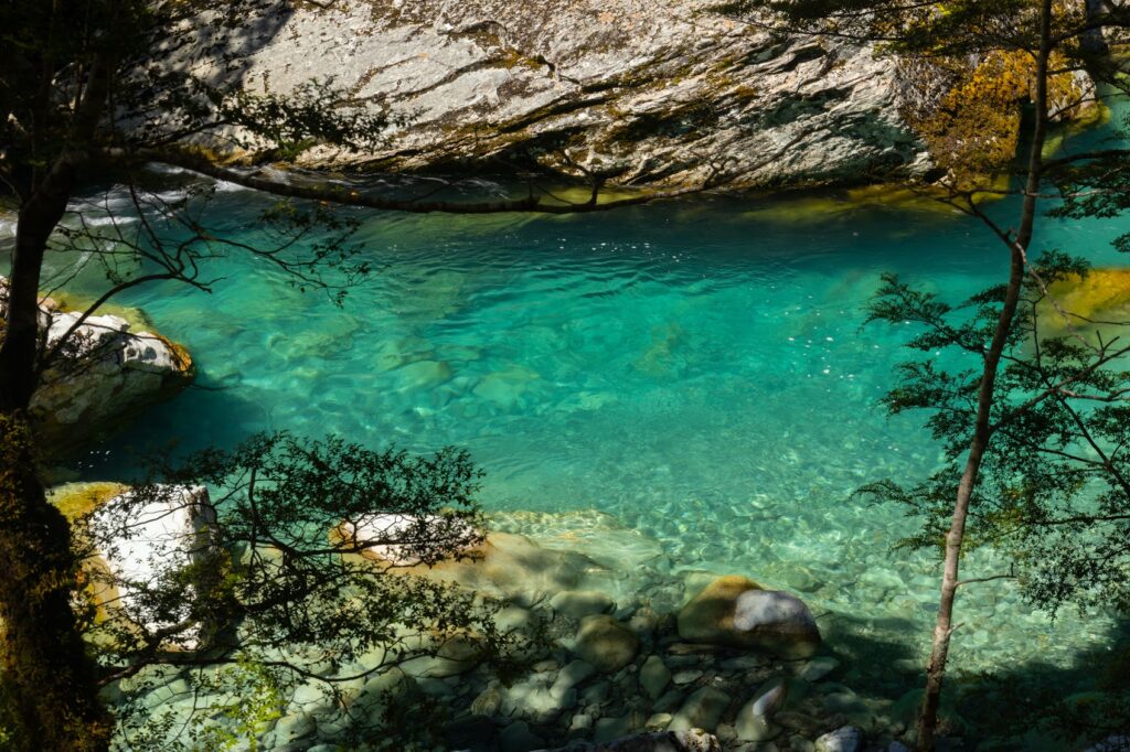
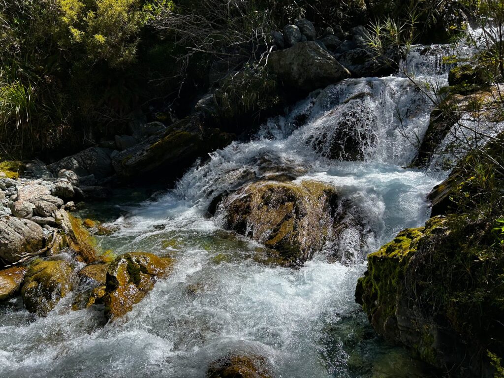
- Going from Split Rock Biv to the lower Beans Burn is a different matter. Once you cross the 1 km river flats, you enter a crown fern farm maze, which weaves next to the river. There are occasional views of the river. We found this to be reasonably well marked, but very overgrown in places, making us question if we were on trail every 10 mins. The river was the bluest I’ve ever seen.
- The next 8 km is a challenging ride through thick, overgrown, scratchy forest, overgrown ferns the size of us, tree trunks and slippery rocks. The deadfall is the worst I’ve seen and we often lose the track. There were plenty of orange triangles – it was just difficult to see them through head high bush. Jamie figured out that when we saw blue or pink tape, it was not a trap line. Instead, the tape indicated routes through very large deadfall. You needed solid knees to clamber over it and there was thick bush to push through. We moaned whenever we came across blue tape. I remarked that the permolat crew would have a field day – there area was so in need of a clearly marked out, clear route.
- Most of the creek crossings were nothing to be concerned about, except one, which would be a significant hazard if river levels were high. It was a small creek, but very deep and fast-flowing. After rain you might need to cross it as a team. We managed ok, although I did need a helping hand from Jamie to help ensure I wouldn’t do the splits trying to cross boulders in the torrent (spoiler alert – I did in fact do the splits).
- The last few kilometres through the forest were a slow one-foot-in-front-of-the-other experience. I tripped and fell multiple times and broke my walking pole. We were both desperate to get out as the overgrown bush felt claustrophobic. A 100 m climb had me stopping to inhale calories.
- Finally, after a very long day, we arrived at the flats nearest to the Beans Burn Track at 8 pm ish. We decided to camp here . We really wanted to get to Rockburn Shelter, but we were totally buggered and could not go on any further. After a river swim and dinner, we were tucked up and had our alarms set for an early start the next day (11-hour day incl breaks).
Day Seven
- We started walking at 6:35 am, reached the lake by 11:30 am and were out at the road end by midday.
- Originally we had planned to go over Sugarloaf Pass and back to Routeburn Shelter, because we were not sure what the river crossings over the Dart River would be like. However, intel from another tramper at Rockburn Shelter had us changing our route. We crossed the Dart River around Lake Sylvan and walked out to the road end. This was a much better route for us, as we likely would not have been able to get over Sugarloaf Pass in time to meet our shuttle. The last 3 km was a grunt on the road in midday heat to get to the shelter. This was tough on tired legs and sore necks. We couldn’t thank our obliging travellers enough for the lift to the shelter during the last kilometre. We reached Routeburn Shelter at 12:45 pm (6.15 hours incl breaks).
Stats:
- Day 1 – 17.61 km, 1400 m ascent, 862 m descent – 9-10 hrs
- Day 2 – 6.36 km, 760 m ascent, 1100 m descent – 6.45 hrs
- Day 3 – 0 km, 0 ascent, 0 descent
- Day 4 – 6.12 km, 640 m ascent, 300 m descent – 5.5 hrs
- Day 5 – 8.30 km, 1300 m ascent, 850 m descent – 8.2 hrs
- Day 6 – 15.37 km, 500 m ascent, 1431 m descent – 11 hrs
- Day 7 – 18 km, 500 m ascent, 540 m descent – 6.15 hrs
Route details anticlockwise direction
28/12 – Routeburn road to Beans Burn first flat (7 hrs 15 min)
- 9.15 am: Dropped off at Lake Sylvan turnoff on Routeburn Road
- 9.30 am: Walked to Lake Sylvan campsite
- 9.45 am: Arrived at Lake Sylvan campsite, crossed the river a little upstream from bridge site, water level below the knee.
- 12.53 pm: Arrived Rockburn Shelter, lunch break
- 1.30 pm: Departed Rockburn Shelter
- 3.03 pm: Start of Beans Burn track
- 4.30 pm: Arrive Beans Burn first flat (near the small 4 person rock biv), set up camp on the flat under some trees
29/12 – To Split Rock biv (7 hrs)
- 9.30 am: Left campsite, followed marked track up the true right of the Beans Burn. Lots of tree fall in places.
- 2.10 pm: Crossed a fast flowing creek that had risen due to rain. The actual distance to cross was short, but we only just made it across one at a time using the large boulders as anchors. A group of 3 behind us decided to wait till the next day for the water level to drop. They camped beside the creek.
- 4.30 pm: Arrived Split Rock Biv, camped outside
30/12 – To Fohn Lakes (5 hrs 20 min)
- 9.15 am: Left Split Rock Biv, headed up true left of the Dart River. Picked a line and climbed to Fohn Saddle.
- 2 pm: Arrived Fohn Saddle
- 2.35 pm: Arrived Fohn Lakes
31/12 – To Fiery Col (6 hr 50 min)
- 9.10 am: Departed Fohn Lakes. Descended to the 90degree bend of the main lake outlet and then crossed to the true right. Continued following the outlet stream on the true right until the Olivine Ledge and crossed back over.
- 9.44 am: Olivine ledge
- 2.18 pm: On Fiery Col, picked up a cairned trail heading up to the col and down the other side.
- 4 pm: Bottom of Fiery Col, camped just before Cow Saddle on the Olivine River side. Found a great swimming hole near the waterfall and also at the base of the waterfall.
1/1 – To Park Pass (9 hrs)
- 9 am: Departed campsite
- 9.15 am: On Cow Saddle. Followed a cairned trail down the true right of Hidden Falls Creek to the bush line. Continued on a ground trail in the bush, sporadically cairned, to the bottom of the climb up to Park Pass.
- 3.15 pm: At Park Pass, descended into Rock Burn
- 6pm: Camped at Rock Burn middle flat
2/1 – To Routeburn carpark (8hr)
- 9.10 am: Departed campsite
- 9.30 am: On mini saddle next to pt. 908
- 10 am: At Theatre Flat
- 12.23 pm: Found a camp spot under trees next to river (pic 1 and 2)
- 12.39 pm: Another camp spot for 1 tent next to a side creek (pic 3 and 4). Great lunch spot just above this.
- 1.53 pm: Rockburn/Sugarloaf track junction
- 3 pm: Sugarloaf Pass
- 4.48 pm: Routeburn Track
- 5.06 pm: Routeburn carpark
Summary –
- Don’t underestimate the terrain, navigation in clag is tricky (especially at Fiery Col and Fohn Lakes), the rocky tors, multiple spurs and ravines can be very deceiving once you are up there. The rock cairns are sort of useful, but often difficult to spot and follow – don’t rely on them.
- Be aware that there are many GPX files available, based on other trampers’ trips. We had two different GPX routes and one of them was much more adventurous than the other. In the end I used the GPX from routeguides http://routeguides.co.nz/trips/502 and it was very useful.
- The Beans Burn is rough and takes ages – lots of wading through crown ferns, clambering over deadfall, tripping and losing the track regularly. This is exhausting and time consuming, but is part of the backcountry experience. The Rockburn, in contrast, feels like a breeze – well-marked and clear and therefore faster travel. Decide which one to tackle at the start or end depending on your preference.
- The rock bivs are so much fun to stay under.


Hi, I have planned to do this hike in a few weeks. Thank you for the very detailed information and up to date trail report. I have a few questions I hope you can answer.
– Where would I find the most reliable and accurate weather forecast for the area? Is there mobile reception along the way or do you rely on the forecast from when you leave on Day 1?
– Is it unusual to get new snow this time of year? I have prepared for the possibility of sub zero temperatures at least once. It seems everyone spends at least one day confined to a tent due to weather.
– Are insects an issue, I notice you camped without a tent in the rock Biv?
– Our plan is to decide on a clockwise or anti clockwise direction when we get there based on the weather forecast. Favouring the good weather for up high. Do you agree? Is one direction better than the other?
Thanks in advance,
P.S. Amazing Photos, I am looking forward to it even more now.
Fantastic photos Lynsey, great write up too!