
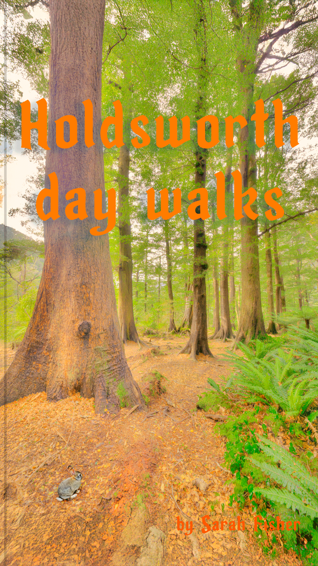
Holdsworth Day Walks – Gentle Annie Saddle, Pinnacle, and the Summit.
Three hikes in the Holdsworth area of the Tararua Range – Gentle Annie Saddle, Pinnacle, and the summit of Mt Holdsworth – including route guides, photos and a video.
Gentle Annie Saddle
Inspired by a TTC day trip of many years ago Tony and I decided to also go and find Gentle Annie Saddle. It was new territory for both of us which was quite exciting.
We drove to the Holdsworth carpark then started walking straight up with a climb to Holdsworth Lookout.
There was the wonderfully heady scent of flowering native orchids following us, then a stop part way up to chat to a member of the Masterton Tramping Club who was heading to the saddle via a smaller loop.
From Holdsworth Lookout we could see across to Powell Hut and Mt Holdsworth. It was a great day to be in the Tararua Range.
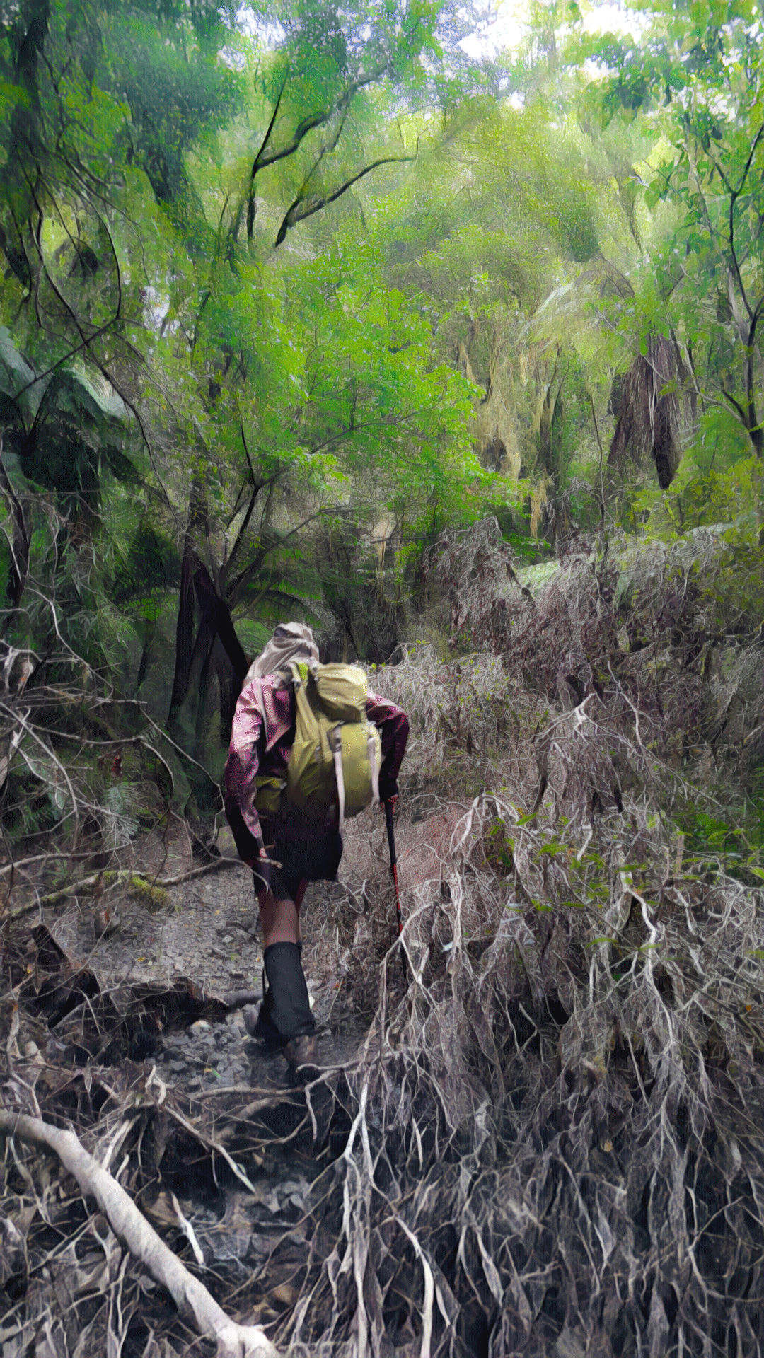
So far there was a well marked and established ground trail. After coming to a junction, we took the trail heading south to pt 637.
There was a pink ribbon here marking the turn off to the west and the start of a faint trail but this quickly just disappeared.
It was then a slow bush bash down the ridge. Occasionally I would inadvertently drop off the ridge and Tony would need to haul me back to ensure I didn’t lead us into a gully.
I found this quite easy to do when out in front and navigating around tree fall and not realise you are slowly migrating sideways.

Eventually we arrived at the unnamed stream from the saddle but it was now quite late in the afternoon.
While we both had headlamps, we didn’t want a super long day so we decided to abandon our plan of Carrington Ridge and follow up the stream to Gentle Annie Saddle instead.
It was an easy walk up the stream and then we started bush bashing up towards the saddle (there may be a foot trail that goes to the saddle if you stay in the stream longer).
It was during this climb through all the ferns that we came across fairly extensive northern rātā in flower – a good sign that possums numbers are low as they have a strong preference for these flowers, and can kill off even mature trees.
We soon came across a faint foot trail but it was heading in the wrong direction so we fought on bush bashing. We could see the saddle by the tree line in the distance.
It looked so far away yet the map showed it was so close. Eventually after a very slow grind, we reached the elusive saddle, or rather we came out on the track that now felt like a highway above the saddle.
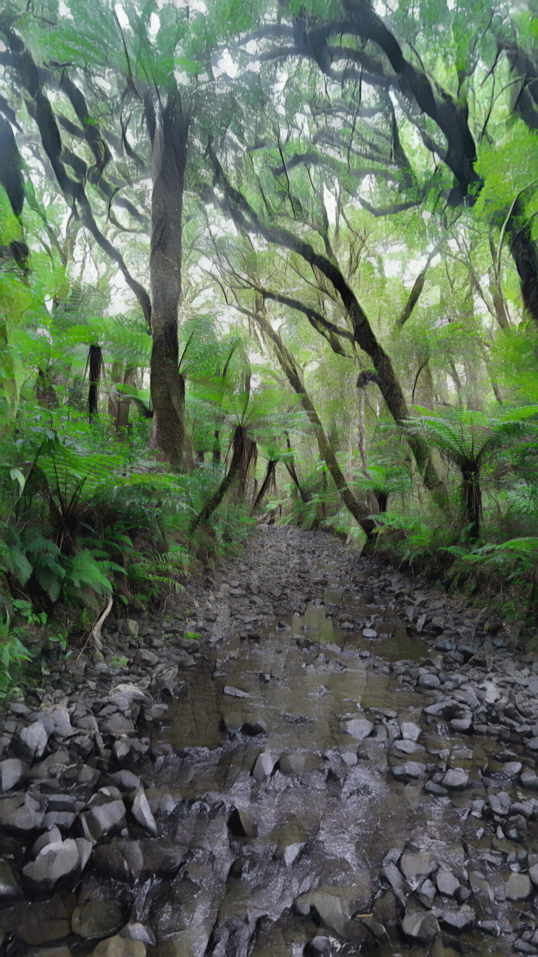
We descended down into Gentle Annie Creek. And there was another trapline – it was fantastic to see how much trapping was going on.
Tony had been partway up the creek previously and captured an amazing photo of the tree ferns and the shingle stream bed but since then the stream has changed due to floods.
We still both enjoyed the walk down the creek. The fern life was amazing and we saw a few fish zooming up the stream. We were surprised by how fast they could move.
Back at the car we grabbed our tents and headed into Donnelly Flats to camp for the night. Since it was only a short walk, we had bought fresh food.
Hilariously I had decided to grate the carrots and only had a very big grater at home and snuck it onto a strap at the back of Tony’s pack making him look a bit comical.
Time: 7 – 8 hours
Distance: 9.5km
Elevation: 795m
Pinnacle Ridge
We had discussed going along Pinnacle Ridge next day but an outdoors guide we met in the Holdsworth carpark suggested an alternative route that we thought we would check out instead.
We walked into Donnelly Flat yet again and then just before the track goes up a small climb we headed off on a trapline next to the Atiwhakatu River.
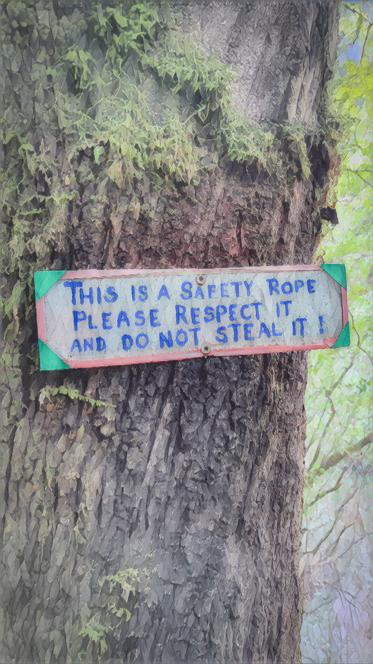
We followed this trapline up the river until we got to a “safety rope” to help us down into the river.
After crossing the river, it was initially a short steep climb before the trapline eased into a very gradual ascent up to pt 634.
Along the way we found some entoloma hochstetteri/blue pinkgill mushrooms that feature on the NZ $50 note.
There were also some kererū that were obviously going through the moult that takes place between March and May as we kept coming across their feathers on the trail.
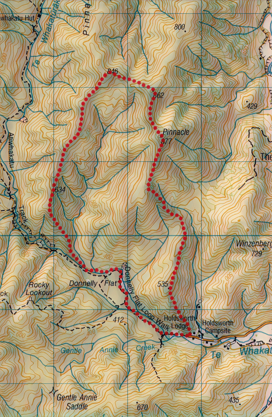
It was such a gradual climb that we barely noticed it and got to the trail along Pinnacle Ridge sooner than we thought we would.
We followed the ridge along to Pinnacle summit, looking out for goblins residing in the enchanting goblin forest.
About 15 minutes past the summit we left the Pinnacle Ridge trail to head southeast between the two streams and aim down towards pt 535.
We initially found a trapline and started to follow it but decided to leave it and bush bash as it seemed to be heading in the wrong direction from what we wanted.
After taking a bearing to aim between the two streams, we mistakenly ended up veering a bit too far north and ended up in the northern stream rather than between the two.
After correcting our mistake and getting back on the spur we found the trapline had in fact gone down the spur despite our original misconceptions that it wouldn’t. We had fun during our unplanned bush bash though.
Near the bottom of the spur we found an old fence that seemed to indicate the area had once been farmed. We were wondering where the trail was going to come out – eventually we came out in the upper camping area right next to the ranger’s house and right at our car in the carpark.
Time: ~ 7 hours
Distance: 10.8km
Elevation: 885m
Mt Holdsworth Summit
The track up Mt Holdsworth is the easiest way to get to a high peak (nearly 1,500m) in the Wellington region.
There is the popular Powell Hut (booking required) just above the bushline that can be used for a two-day trip, but it is quite possible for reasonably fit walkers to get to the summit and back to the carpark in a day.
However, there are a couple of important points to note: first the track climbs nearly 1,200 m so it is not just a walk in the park.
And second, the Tararua Range and Mt Holdsworth have a deserved reputation for bad weather—high winds and rain or snow are common at any time of the year so be sure to check the forecast, take spare warm and rainproof clothing, and make sure someone responsible knows your plans.
With the above in mind here is a video that shows a hiker’s point of view of the track to the summit and the wonderful view when you arrive. It’s well worth the effort.
Some other WTMC Holdsworth tramps:
Big Day Out: Jumbo-Holdsworth in pictures