
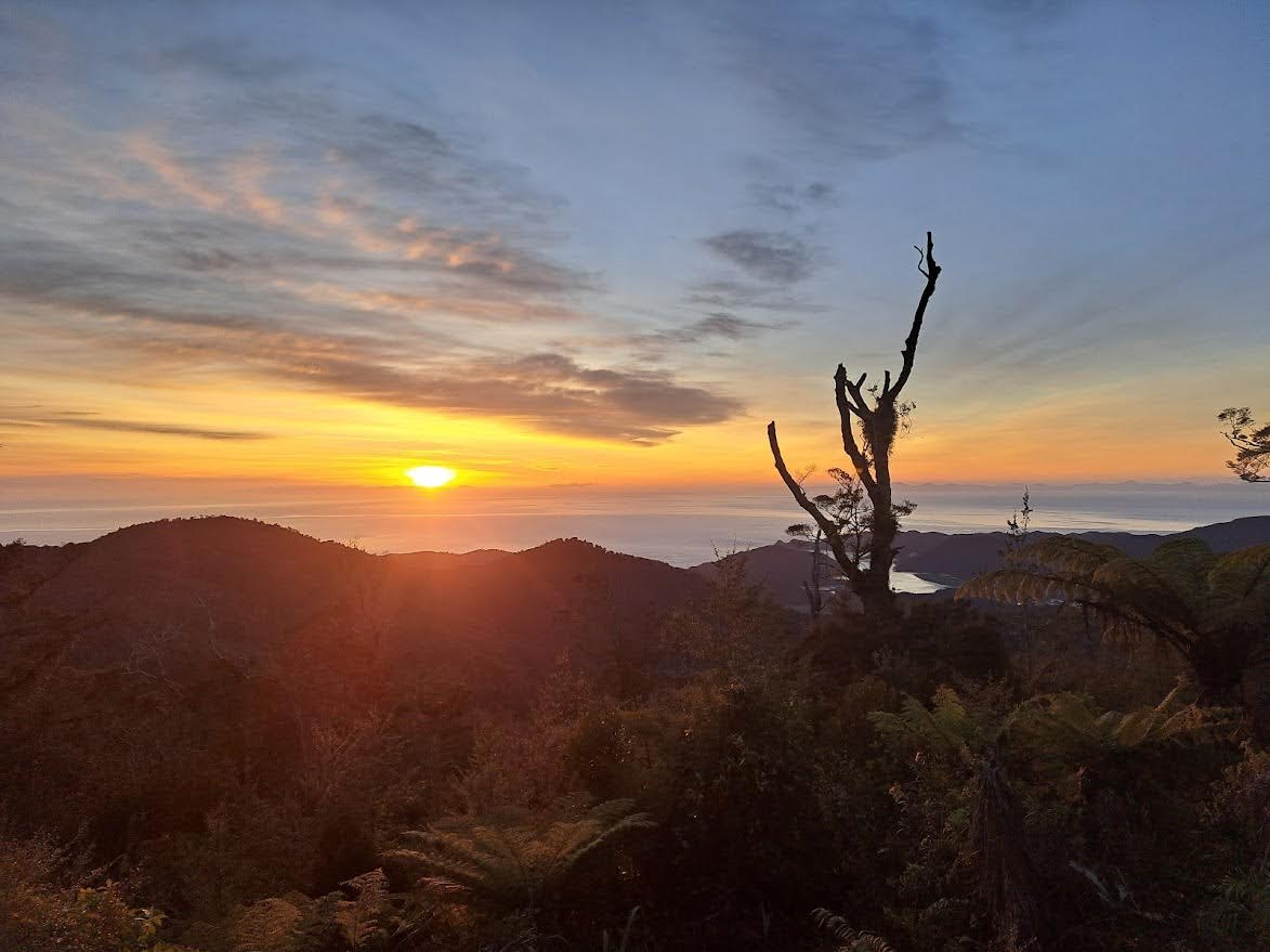
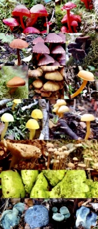
This tramp brought us a rainbow of fungi, challenging short days, warm starry nights in two huts, and a long drop with arguably the best views in New Zealand.
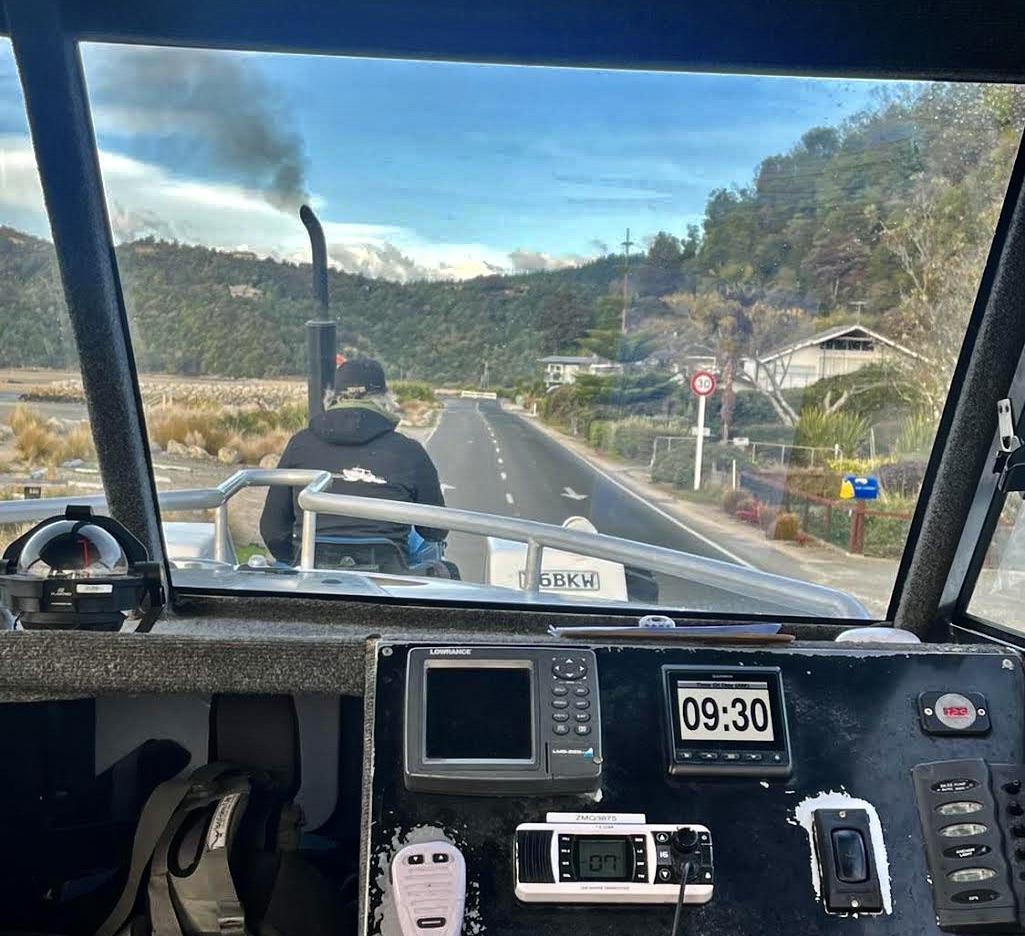
After a delayed Friday night ferry and late drive from Picton, we had a comfortable overnight stay at Old Macs campground in Marahau, before setting off for the Inland Track on Saturday morning. We began with some novelty “road boating” before a bonus tour of Split Apple Rock and a bumpy sailing onwards to Tōtaranui. After a quick refresh at the DOC centre there, we began our ascent up Gibbs Track.
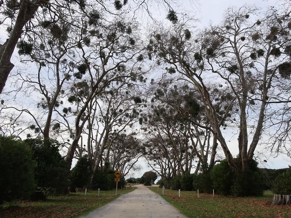
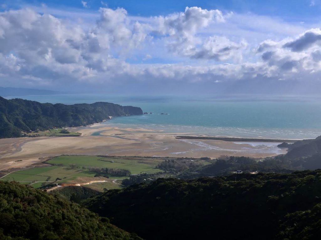
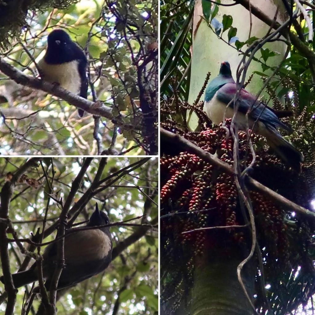
It started out as a 4WD path through scrub and farmland, and steadily climbed up, up, up – to a very windy, but clear, Gibbs Hill. After fighting to stay upright on the exposed tops and one of the group briefly losing their hat due to a strong gust, we abandoned the cow-clad paddocks and scenic views (north-west to Wainui Inlet) and retreated into the sheltered bushline. We saw many colourful fungi in the forest as we continued to Pigeon Saddle (an alternative road-end that other trampers seemed to favour as a starting point). True to the Saddle’s name, we noticed a Kererū (wood pigeon) observing us eat our lunch from a Nikau palm. After resuming our climb, we were soon rewarded with views south-east to Awaroa Inlet, until light rain and fog began closing in.
We reached the 12-bed Awapoto Hut just before dark – it had plenty of cut wood and we shared the Hut with half a dozen other quiet trampers. A delicious hot taco dinner was enjoyed, and just before bed the weather suddenly cleared to reveal the spectacular Milky Way above us. Some of us navigated the bewildering single-poled ladder up to the top bunks – a cozy perch for 10 hours sleep until sunrise.
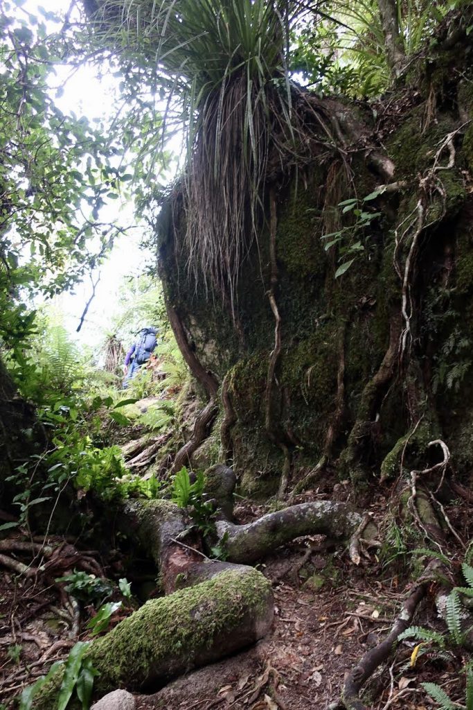
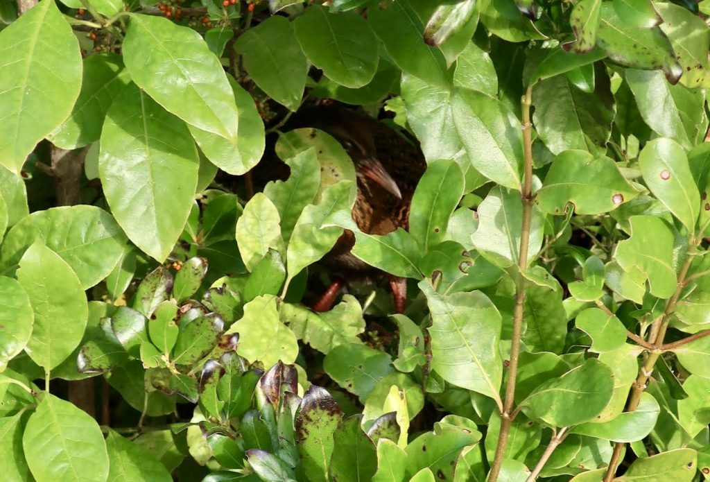
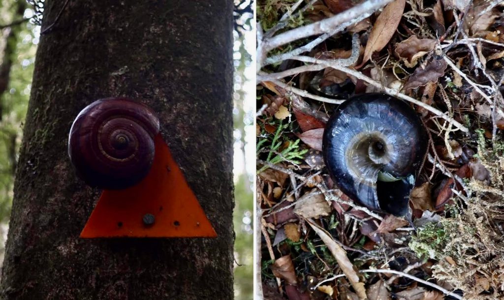
At daybreak the next day, it became clear that the Hut’s loo had the best views of all time. Having hydrated, caffeinated, and spotted an unusual (arboreal) weka, we proceeded up the track, into the true beech forest. It was clear a clear day, but chilly in the shade. The track produced mossy-bearded trees aplenty, the shells of giant land snails, and ever more fungi. Bellbirds and Tui serenaded us and curious Fantails, Robins, and Tomtits shadowed our onward path.
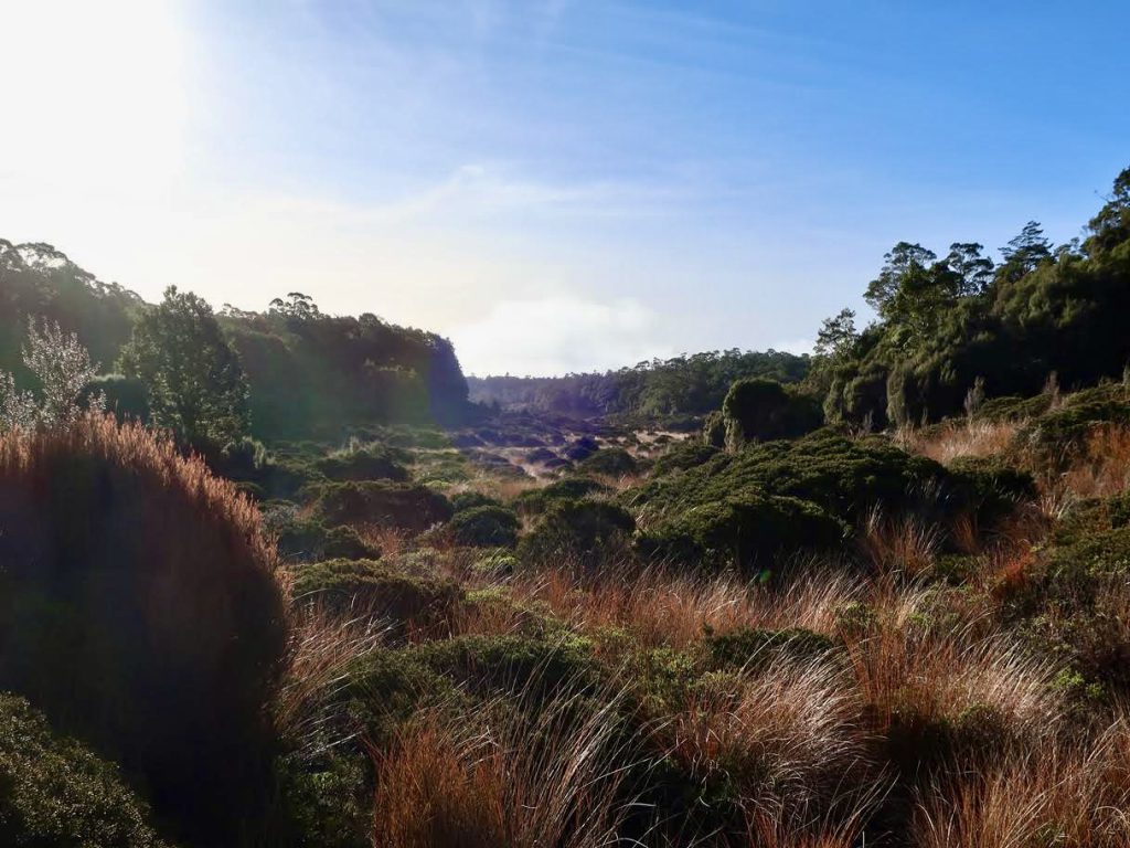
Realising the long weekend had brought out more trampers than expected, we hastened on to the 8-bed Castle Rock Hut, sacrificing the half hour side trip to Porter Rock View Point. However, we were able to enjoy other views along the way from closer outcrops as well as the Moa Park Shelter moorland – a tussocky basin that opened up at our peak elevation of 1000 m.
If the hut was full, our backup plan was to continue on to Holyoake Shelter for the night. But Sunday had felt like a long day and once again we descended to the hut just as darkness and fog set in. Luckily there were just enough beds left for us. In the fading light, some of us found the Castle Rocks – large boulders on a high point across the gully from the hut. There were, presumably, great views from those Rocks – but all we could see that evening was … fog.
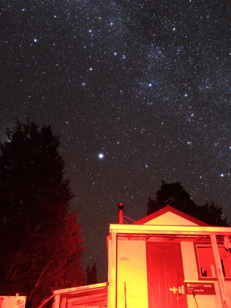
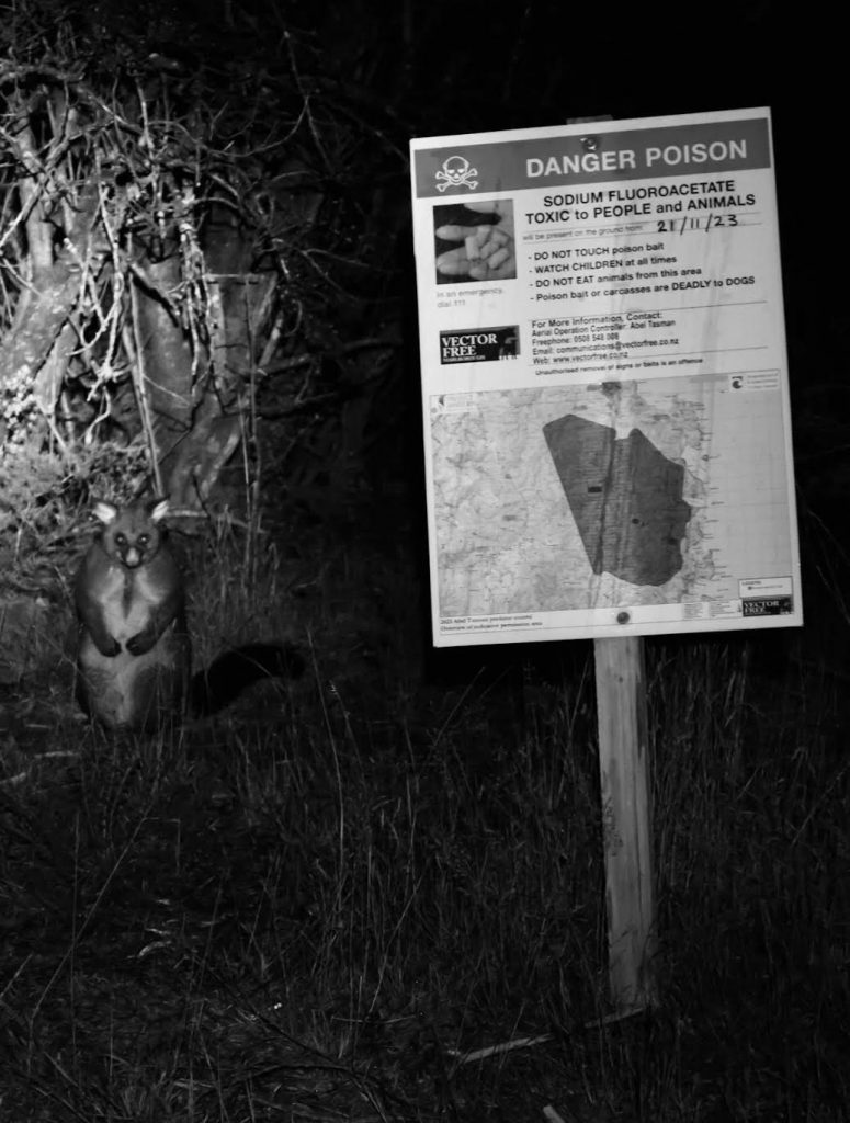
We then retreated to the hut and had a meal that night of cheesy pasta with sundried tomatoes, pesto, and capers. The skies cleared again later on and the stars came out in force – this time accompanied by the Castle Rock Possum, who posed remorselessly for a photo beside the pest control sign.
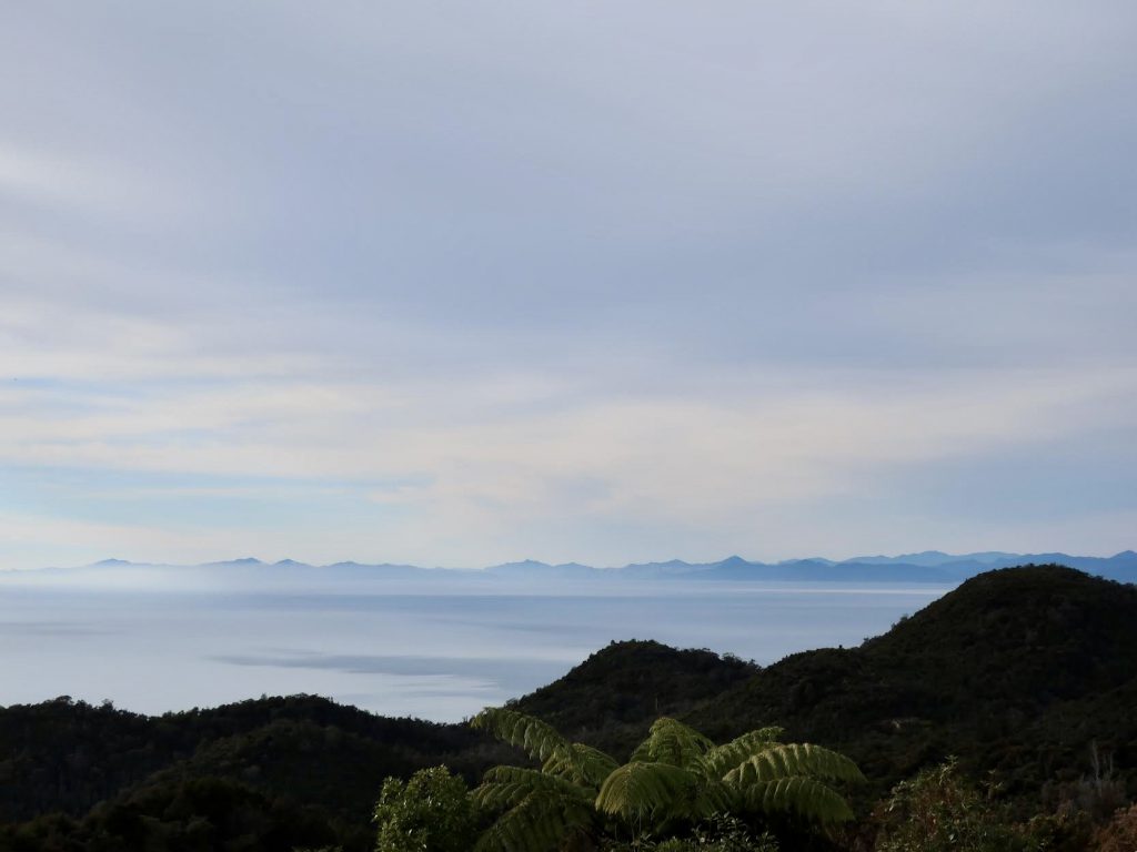
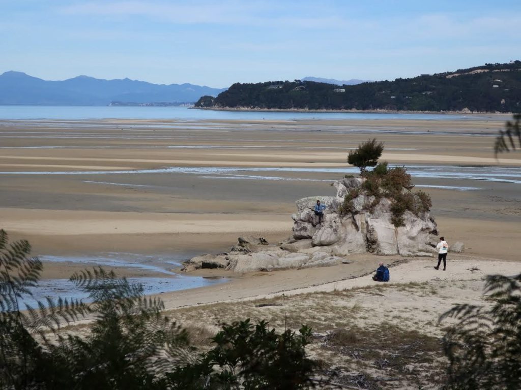
On Monday morning we set off before sunrise, with head torches illuminating our descent through dense lowland bush. There were several little creeks to leap over, rock faces to scramble down, tree falls to navigate around, and more birds and fungi to spot. Eventually we emerged at Holyoake Shelter – which (it turned out) would have been well equipped for 2 people (and possible for 4 people) to sleep in. Panoramas across to the Sounds unfolded before us as we travelled down, down, down, through more scrubby terrain, until we finally met the main Abel Tasman National Park coastal track back near sea level. The coastal track was a super highway with oodles of day-trippers, compared to our experience of the Inland Track. We had our final lunch at Tinline Bay Campsite, where a wily weka whipped one of our (empty) lunch bags away to its lair. Yet after much searching we were unable to locate the bag.
Despite taking slightly longer than the stated DOC time for this ~40km track, we were right on time to be collected by the other group in the van at Marahau. Together, we headed back to Picton for a final dinner and sunset. And then it was on to the ferry to Wellington, where we had a celebratory drink/nap.