“It’ll be easy.”
Famous last words when we were trying to find a route around a gorge in Oruakeretaki Stream…
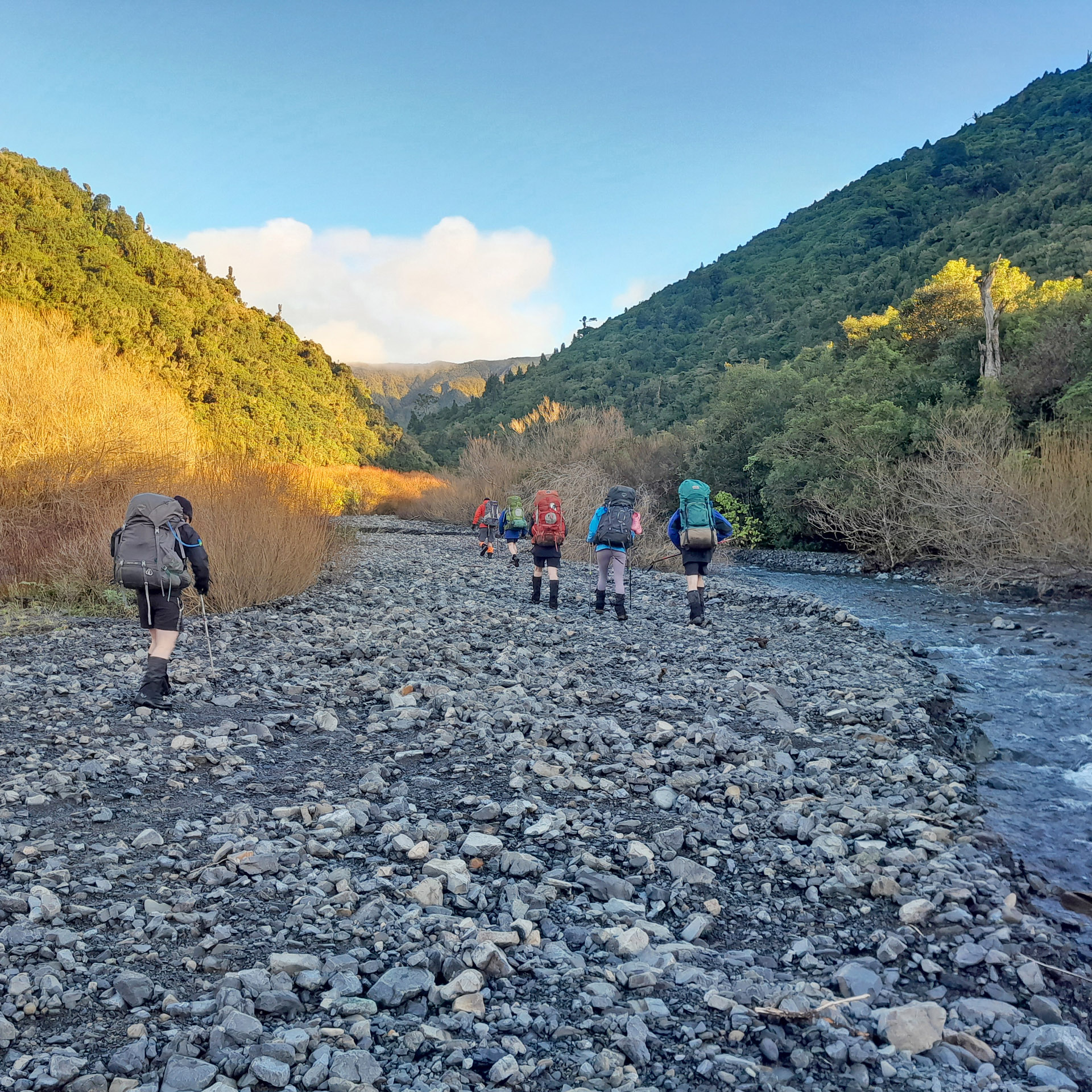
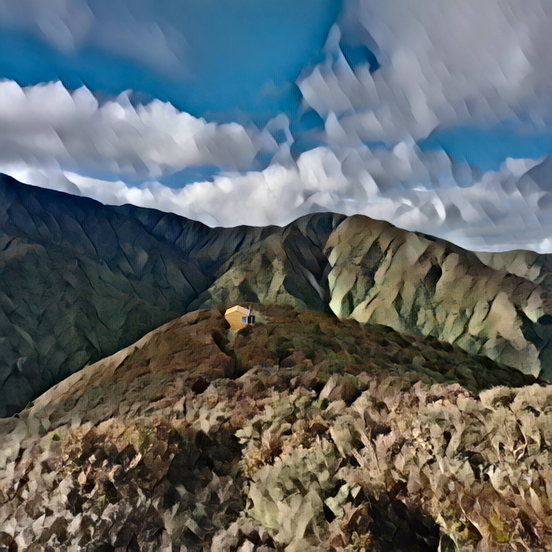
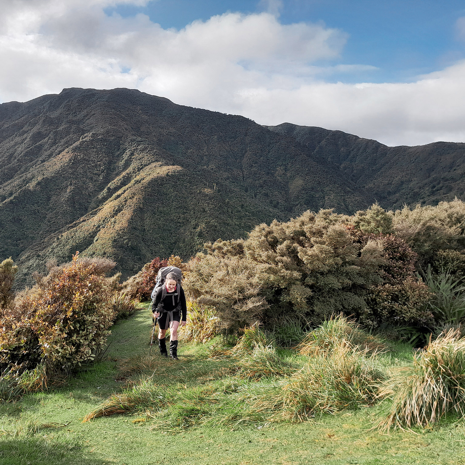
On Saturday we left Kumeti campsite and started up Mangapuaka Stream for about 20 minutes before we came to the track on the true right. It was straight into a fairly steep climb. We headed into a typical Ruahine leatherwood tunnel that had a few small patches of snow. At this point, with the cold wintery wind whipping around us, we were glad to be in these leatherwood tunnels for once. After the junction to Matanginui, we started our descent to Oruakeretaki Stream. We could now see Kiritaki hut on the next ridge—its DoC ‘Rescue Orange’ was like a beacon to us. It looked so close but we were far from done.
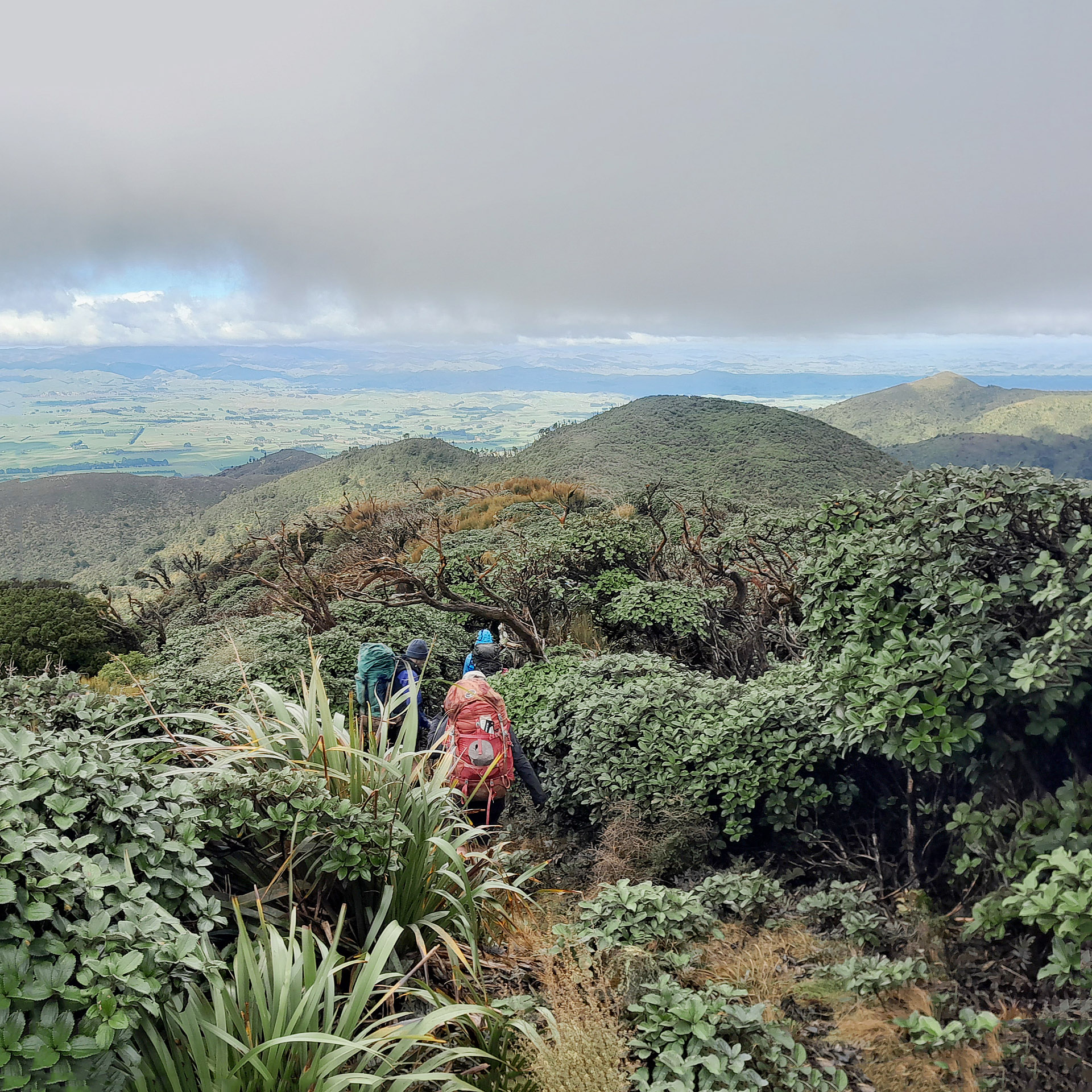
The descent got steeper and steeper. At one point we had to sit down and slide over a drop. Jamie was in front of me and had just turned around to say this was like an ALP 3 trip only to suddenly slide over the edge without warning. Once checking she was ok, I sat down to go down the drop but unfortunately did the exact same thing Jamie had done and slid over the edge before I was prepared for it. There was a bit of a scream followed by lots of laughing. Tony, who had been waiting around the corner for the others, came hurrying down when he heard the commotion only to find us all standing there in hysterics.
Once at Oruakeretaki Stream, mostly in one piece after a few falls, we found what looked like a track up the hill—the next day we came down a different way that landed us next to the DoC sign. It was a steep and slippery climb up to Kiritaki Hut. I would take one step forward and try to stop myself sliding back down two. It was a little energy sapping but we were rewarded with nice views back down once at the hut. Kiritaki hut, or ‘Sea-Mac Motel’ as it was signposted, is in a nice clearing with fantastic views and surrounded by leatherwood. We found the hut empty but it didn’t remain that way for very long with two hunters showing up with Tucker the dog and then their mate showing up a bit later after dark.
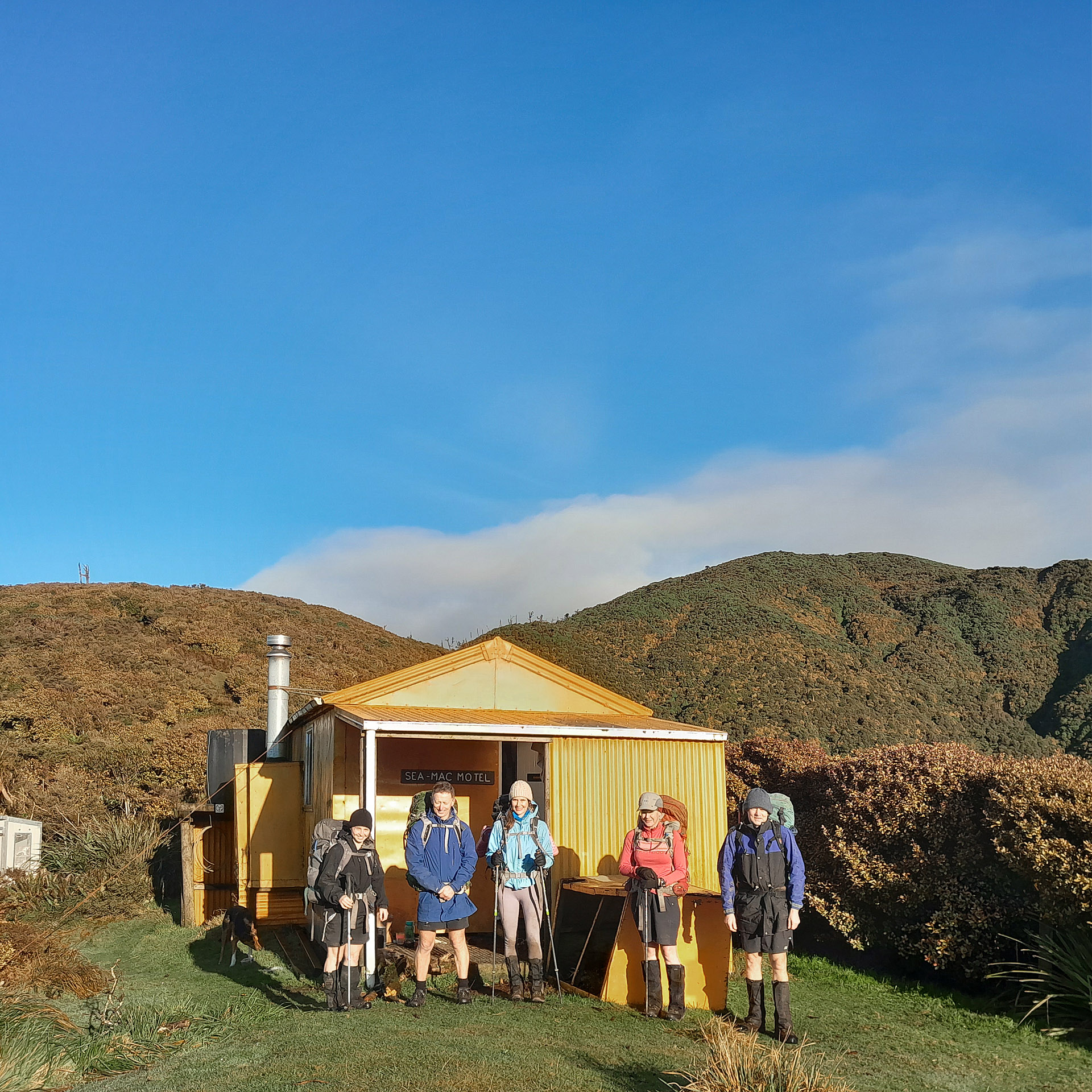
The hut that had once felt quite spacious was now feeling quite cramped (another tramping club had a trip report saying they managed to squeeze 15 people in the hut one night). Tony and I decided we would clear a bit of space and ventured outside, putting our tents up in the most sheltered spot we could find. There are plenty of camping spots around the hut but not a lot of shelter from wind so we put out tents right up next to the wall of the hut. On Sunday morning Maarten took off before us to walk back the same way to collect the van while the rest of our group were going to head down Oruakeretaki Stream. It should be pretty easy going, he said. Hmmm.
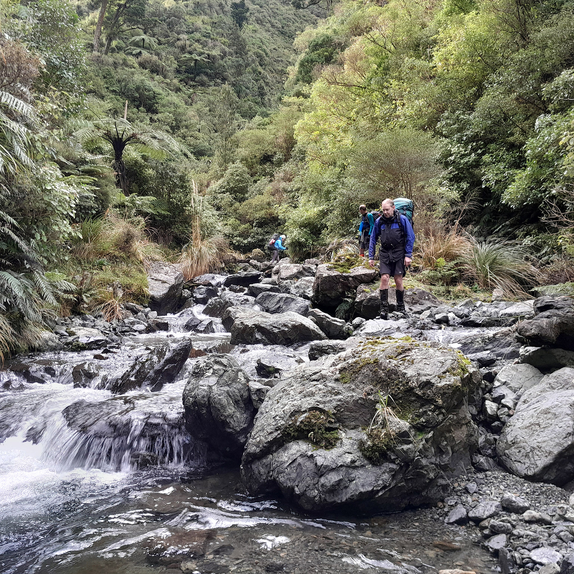
Initially it was ok but then we ended up in a gorge that we had to do a bypass around by a steep climb. After surviving this we got a surprise, when the two hunters appeared suddenly in front of us out of the bush. Apparently, there was an informal track down from the hut into the stream that bypassed everything we had just done! They had left well after us but caught us up because this track was a lot quicker. After getting home I did a bit of research and it seems like this track starts from right next to the hut. Where the track left Oruakeretaki Stream to climb up the hill to Kiritaki hut was well marked and the hunters said it was well marked to the hut. I would be interested to go back and do that track and see where it comes out at Kiritaki Hut because none of us saw the start of the track next to the hut so I suspect it’s a bit more subtle at the top.
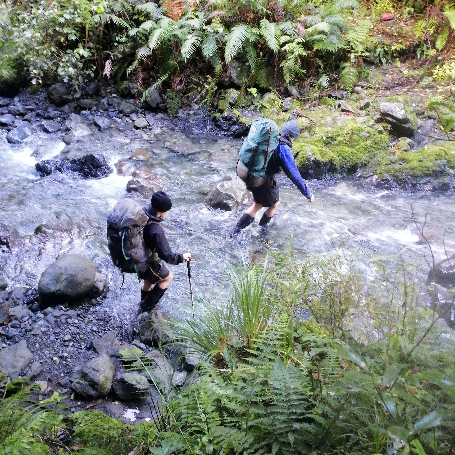
After this, it was pretty easy walking—there were a couple of places that had ropes or chains to help haul ourselves up and over boulders; but it was easy walking with the track criss-crossing the stream before we emerged onto farm plains where Maarten was waiting in the sun.
Stats from Sarah’s watch
Day 1
Distance: 8.7km
Elapsed Time: 6h
Elevation: 1,047m
Day 2
Distance: 5.2k
Elapsed Time: 4.75h
Elevation: 47m

