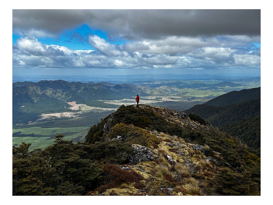
Unfortunately, our original plan to do a return trip to Triangle Hut from the western side of the Ruahine Range was not to be, owing to the high winds and soggy weather forecast for the weekend. However, it looked like the Eastern side of the Range would have a better weather profile, so we opted to do the well-trodden track from Sentry Box Hut up to Parks Peak Hut, and then down to Upper Makaroro Hut.
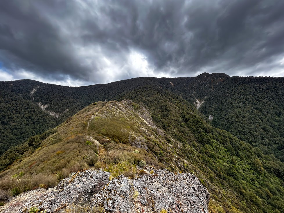
This turned out to be a perfect decision – it turned out to be a beautiful day on this eastern side of the Ruahines, sheltered from the nasties that were hitting the Palmerston north side. We decided to set off on Saturday morning and start the walk at the road end a little after noon. It’s a long drive to the road end, but the road is in pretty good condition – mostly sealed, some gravel.
It was a balmy 26 degrees in Napier and the steep climb up to Parks Peak Hut was hot and sweaty. DOC estimates it takes 2.5 – 3 hours from Sentry Box Hut to Parks Peak Hut – this was about right. It is a slog though. Expect straight uphill with not much reprieve until you reach the top of the spur.
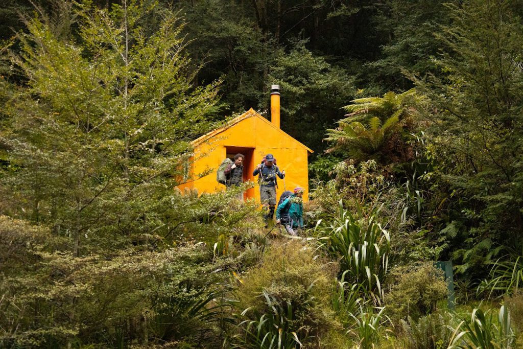
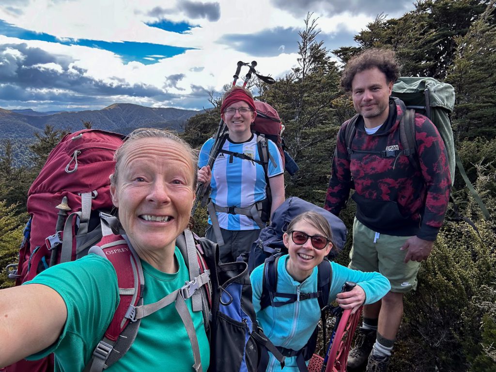
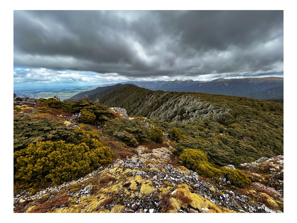
Rocky Knoll is a nice place for a breather and a 360-degree viewpoint (it’s halfway up). The obligatory selfies in the red chair with wonderful views of the main range is a welcome relief (see pic). I highly recommend Parks Peak Hut – a wonderful spot, plenty of camping ground, lovely forest. The Hut only has 6 bunks, but there is plenty of floor space too. Lunch #2 came and went – we continued on.
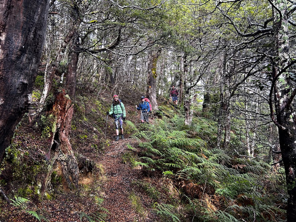
Upper Makaroro Hut was our destination for the night, with the option for keen beans to hit up Kylie Biv. The track to Upper Makaroro Hut is great – nice and steep downhill to keep those knees begging for mercy. Lovely forest. Upon reaching the river, listen for Whio (we spotted 2 of them and heard them all night). Upper Makaroro Hut sits at around 700 m, across the river on the bank. It was just starting to drizzle as we reached the Hut. The river was easy to cross and despite all the rain the area had experienced in the lead up to our trip, the water level was low.
Drizzle turned to squally “fat rain”, which in turn quickly fizzled out any motivation we had to head up Totara spur. It was a very cosy night at Upper Makaroro Hut – with the fire going and listening to the rain on the roof for most of the night. We were super toasty.
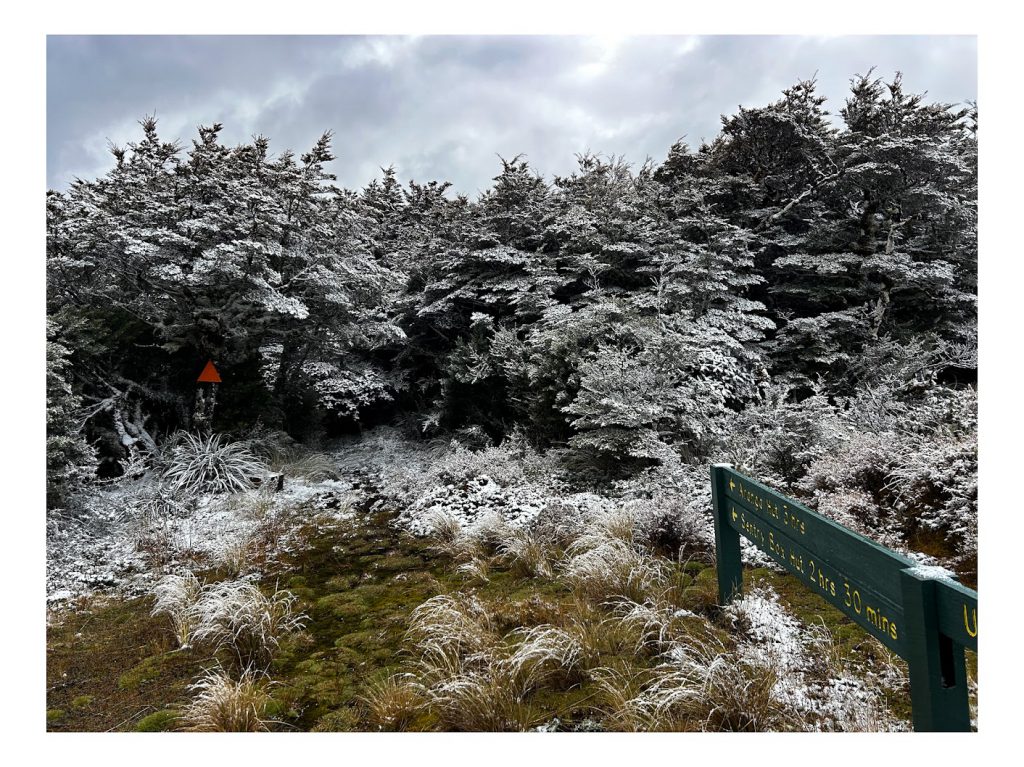
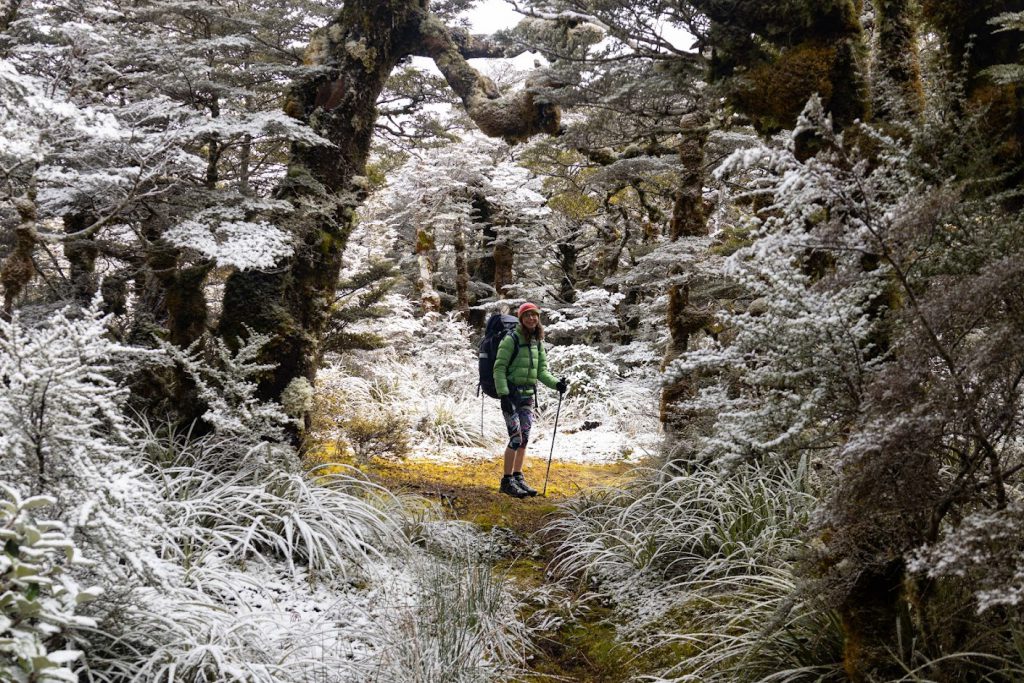
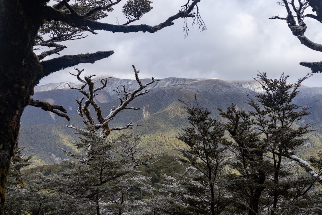
The next morning, despite it having rained the whole night, the river was still low and easy to cross. The 700 m(ish) ascent back up to Parks Peak Hut was, at first, unremarkable – just an uphill skip up! (3 hours). As we gained height, it was a complete surprise to find it had snowed on the tops overnight. It was a magical walk up through the bush in the dusting of snow from around 1000 m elevation and all the way up to Parks Peak. Needless to say, the higher we climbed, the chillier it was. There were many stops for photos in the snow.
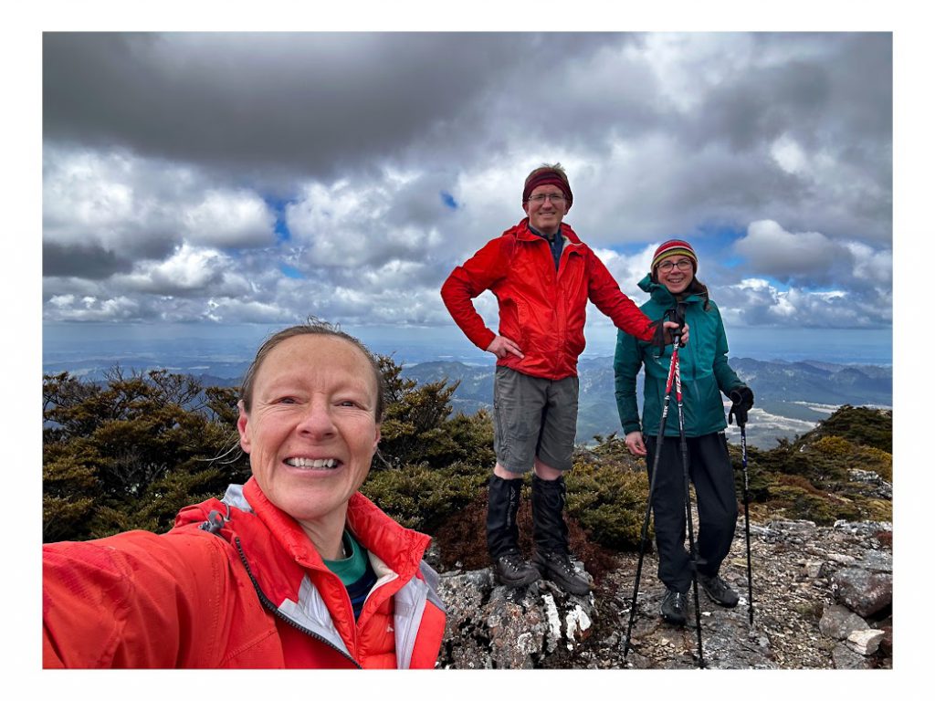
After lunch #1, we made our way to the junction of Aranga Hut and the road end and decided on bagging the nearby Peak, Pohatuhaha. This turned out to be a great decision – it was super easy and super close, but with jaw dropping 360-degree views (maximum gain, minimum effort – my favourite situation).
From there, it was a run down to Sentry Box Hut (DOC time of 2 hours. Our time: 1 hr -ish).
The trip really did have it all- great company, minimum fuss, snow, summer heat, cosy huts, views of the tops, and easy Peak bagging.
Minimum effort, maximum gain (although my knees may say otherwise).
Stats:
Day 1:
- 12.15pm start. Sentry Box Hut to Parks Peak Hut (Rocky Knoll – 50 mins) = 3 hrs
- Parks Peak Hut to Upper Makaroro Hut = 1 hr 20 min (arrived at 5pm)
- Distance = 7.67 km
- Total ascent = 1120 m
- Total descent = 955 m
Day 2:
- 8.20am start – back to Parks Peak Hut (2 hours 10 mins)
- Pohatuhaha Peak – 25 mins return to junction
- Back to road end from junction – 1hour
- Distance = 9.49 km
- Total ascent = 993 m
- Total descent = 1166 m

