
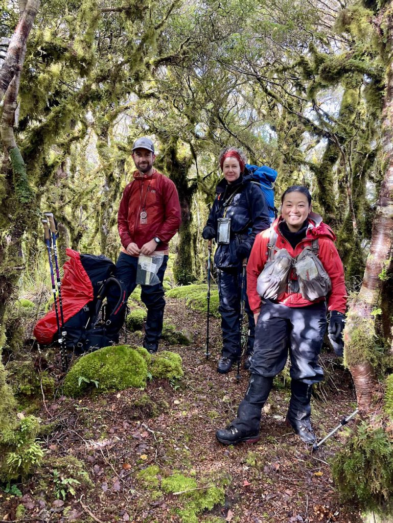
I wanted to lead this trip because there was a big empty space on the Tararua Forest Park map on my dining room wall, where I haven’t yet stepped foot. It was going to be a navigation challenge with few marked tracks in the area. Four keen beans signed up.
I like to reflect on decision-making for tramping trips. On this trip, the most important decision I made with respect to the success of the trip was to allocate James to bring dessert. More on that later.
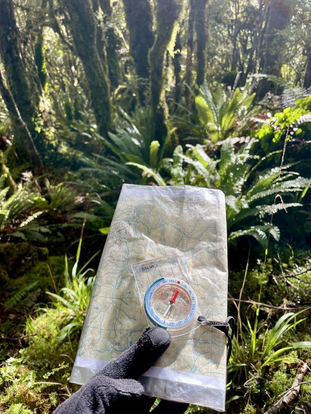
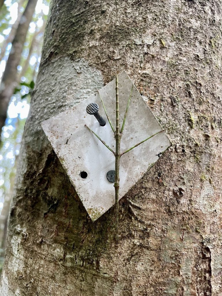
Sometime after 9am we set off from the gate that marks the end of the two-wheel driveable part of North Manakau Road. (We did test whether it was possible to take the car any further, but quickly determined it was not). Over the next couple of hours we worked our way up the four wheel drive track until we came to a junction (not marked on the map) where we took the opportunity to get our compasses out for the first time. After a quick refresh of our compass skills, we gained the ridge and followed the footpad as best we could. We ventured past Points 437 and 635, stopping for a quick lunch as it was cold!
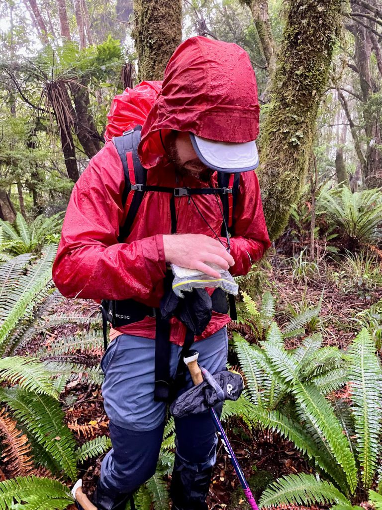
At some point in the afternoon it started raining, with some fairly heavy showers. We kept going along the ridge with a good foot track most of the way to Panatewaewae Peak. From there, we turned SSE, and both aided and confused by our compass bearings, we stumbled around a bit before working our way onto the descending ridge that we needed to be on to continue our circuit. A good reminder of the importance of starting off right from a known point, especially when you are descending. By this point we were all pretty cold and wet. I asked if the team were enjoying themselves and they opted to delay their response…I think that’s the definition of Type 2 Fun!
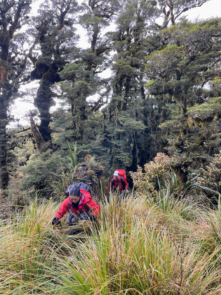
Despite the lack of enthusiasm, we continued up and down and up and down, past Points 775 and 890, vaguely keeping an eye out for potential camp sites, given we hadn’t seen anything much flat-looking so far. At one point we heard someone call ‘Hello…Hello…’ and we all looked around surprised that there might be someone else out here in the bush. It turns out that Elizabeth had pocket dialled someone who was wondering why no one was answering!… this made us all laugh, even in our wet and cold state!
Once past Point 890, we switched-up our campsite searching as it was past 4 pm. At 4:40 pm, we found a workable spot and made the call to set up camp, rather than risk not finding anything further along.
Megan and Elizabeth set up tents and got dinner going, while James and I went on a mission down the nearest stream gully to find a dribble of water. 90 mins later, we returned with a couple of litres of water, having found, indeed, just a dribble about 80 m down. This had involved bashing and scrabbling our way up and down a rock and tree fall-filled mess of a gully – mostly in darkness. It was the best bit of the day up to that point!!
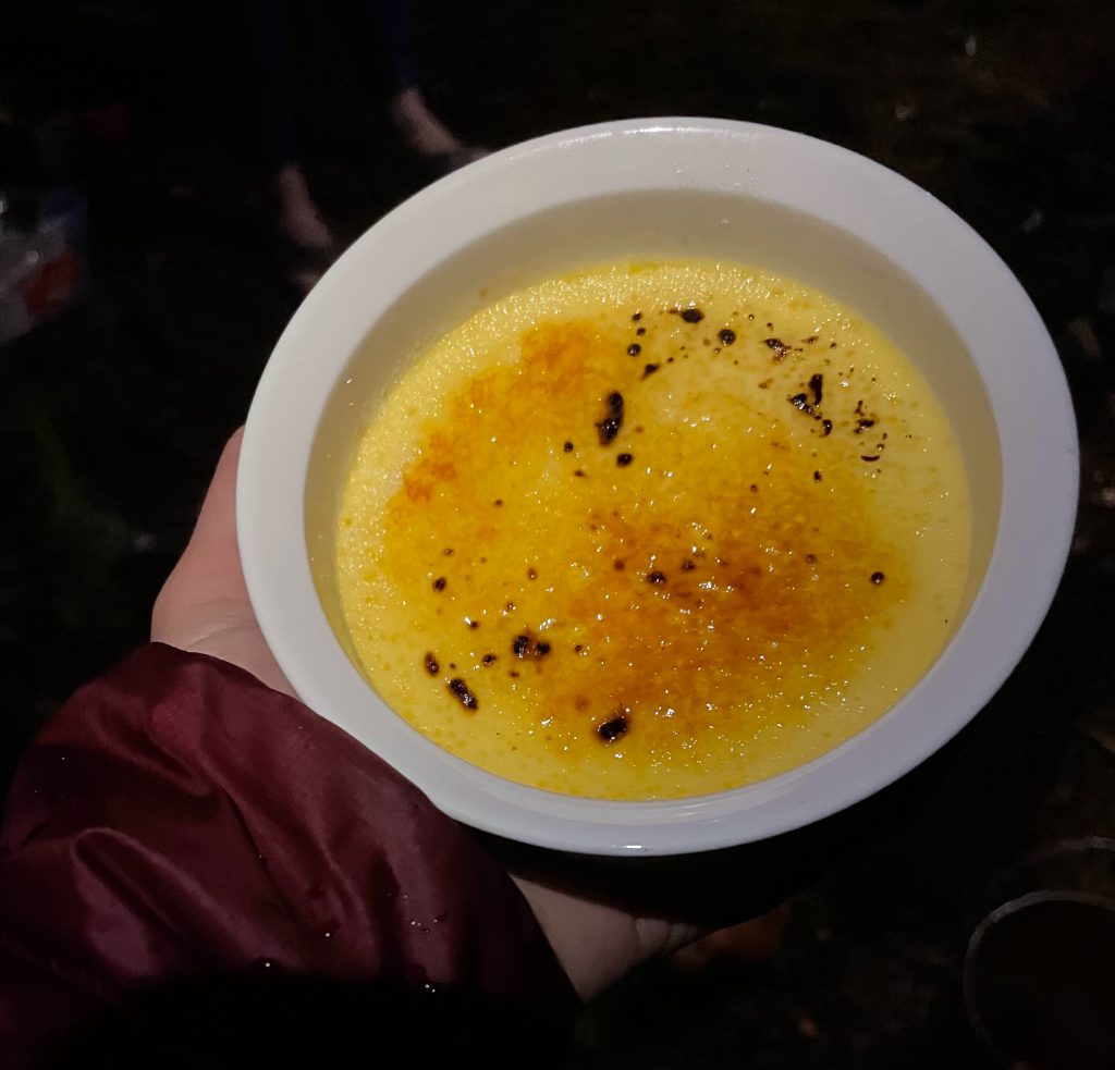
Taking so long to find water gave us the advantage of arriving back to camp to a hot dinner, thanks to Elizabeth and Megan, who had been busy cooking. No one could face washing up as it was so cold so we were all about to head to bed when James reminded us he had dessert…Out of his pack he pulled four ceramic pots of homemade crème not-yet-brûlée, followed by a blow torch. To many ‘wows’ he proceeded to brûlée the sugary top and we each enjoyed the most wondrous dessert I have ever had on a tramp (sorry Regan, you have competition! See: Angelus Hut trip report – https://wtmc.org.nz/trip-report/a-sparkly-september-trip-to-maniniaro-angelus-peak-nelson-lakes-national-park/).
Next morning we breakfasted on tight water rations, and set off 15 mins later than planned as my watch had decided to play up during the night and I was running behind time. Spirits were higher, as the temperatures had risen a bit since yesterday and everything was a bit drier.
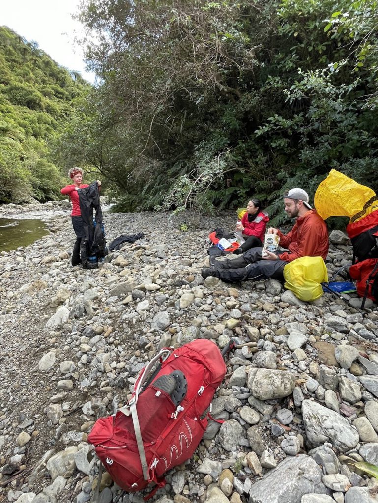
As we continued our way around the Panatewaewae catchment ridge line we negotiated a few tricky navigation points – first, the turn to the west at Point 955, and then the access onto the spur north of Point 969. At around 10:45 am we arrived at the trig point on Waitewaewae Peak. From here there was a very well trodden and permolat-marked track down past Points 708 and 590, which had us popping out at the junction of Panatewaewae and Waikawa streams, in time for lunch on the rocks, now in the sunshine.
Another hour post-lunch walking and we were back at the car. All smiles and very pleased with our full circumnavigation of Panatewaewae Stream, nav skills brushed-up and wild camping desserts nailed.