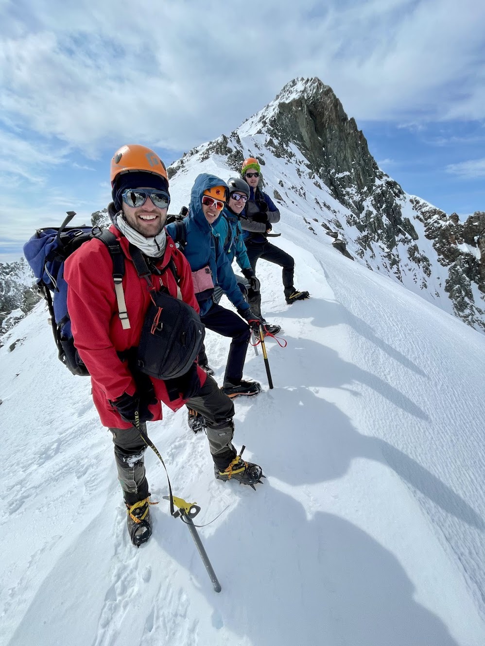
For a lengthier and much more creatively written report of this trip take a read of Sam’s account here: https://medium.com/engage/tapping-out-of-tappy-de5027b8a21b.
We caught the ferry on Thursday afternoon after squishing five people’s alpine packs into the car, and then stayed the night at a Picton backpackers – which made for a very leisurely start to the trip.
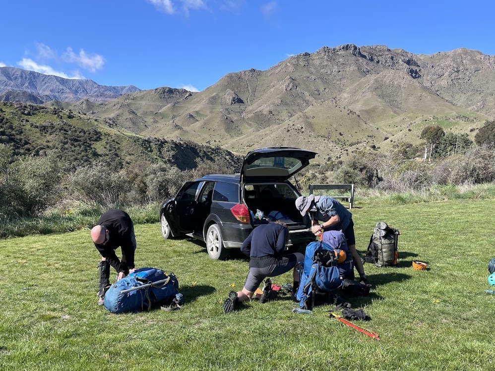
On Friday morning, we drove up the Awatere Valley to the Hodder River bridge. After the usual faffing we were on our way along the 4wd track across Gladstone Station (permission required – thanks to The Pitts family for letting us through). 45 minutes and at least one de-layering stop later, we reached the cairned point where a little track drops down to the river.
From here it was a few hours in the river, criss-crossing and boulder hopping our way closer to the Hodder Huts. The river was pretty low so the crossings were easy, but I still counted 60+ on the way up. The water was cold though, and those of the group in trail shoes had cold feet. Tramping boots seemed to be helping others keep warm. We were all carrying our alpine boots to keep them dry for the climb the next day.
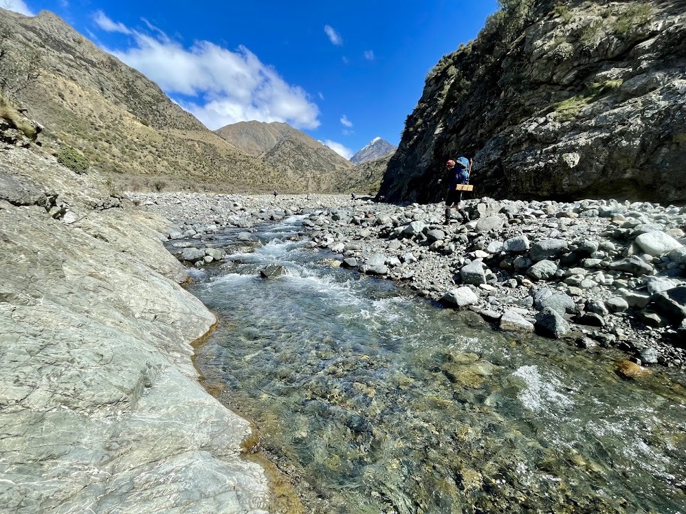
As the river steepened and gorged, we successfully identified the junction where some have been lured incorrectly into Trail Stream. Further still and we reached the blue arrow that signals where the track comes out of the river to avoid the waterfalls in a further gorge section. Here we climbed steeply, then sidled through the Totara before dropping into the upper valley. Another half an hour and we could see the huts…but only just, as there was now some cloud lurking. We arrived at the huts at about 4pm – 6hrs since we left the car.
Rehydrating, snacking, dinner and being taught how to play 500 took up the rest of the day, before an early night.
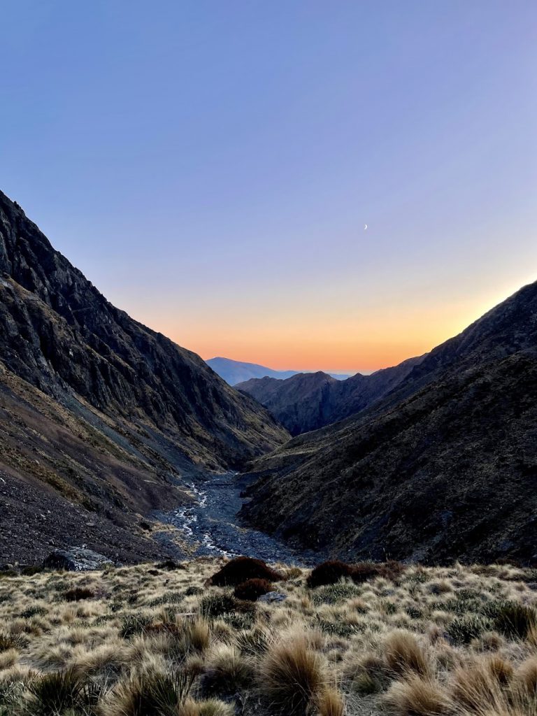
Next morning the sky was clear and we were ready to climb. We left the huts shortly after 6am, with the obligatory avalanche transceiver check as we did so. We set ourselves a turnaround time of 12pm. The first part of the route crosses a scree slope, with an established foot track across it. We then crossed the stream, taking care not to use the icy boulders, but at the same time trying to keep our feet dry. We followed the cairns up the tussock and scree on the northern side of Staircase Stream.
It was at this point when the first minor mishap occurred. Having taken a break to change some layers, one of the team swung their pack onto their back and caught the lip of a nearby-standing team member with their ice axe. There was some swearing and some blood, but on further assessment there was only surface damage.
We continued to make our way across the basin, following a well-trodden and cairned path the whole way. The ground was frozen and each stream we dropped into had cool ice formations on the rocks.
After the last stream (with the waterfall above it) we started to veer left. We stopped to put on crampons at the snowline (at about 2100 m). From here, we each thought we should aim for a slightly different direction. The line we did take, proved very nice cramponing and took us into a smaller basin where the sun was starting to appear over the ridge.
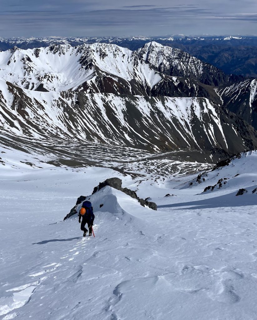
At this point, the second minor mishap occurred. One of the team dropped their axe and it went sliding 20m or so down the slope. Thankfully it came to a stop pretty soon and another member of the team was able to walk down to collect it and return it to its owner.
At this point we checked our location and decided we really needed to be a bit further south to be in the gully that we were ideally aiming for to join the ridge. We didn’t want to lose any of our height, so we took a long (and at points steeper than comfortable) sidle. For most group members, this section was quite physically draining and also cost us some time. A further minor mishap occurred at this point, when one of the group put their gloves down on the snow, only to then watch them disappear down the slope. Luckily they had some spares.
The snow conditions as we climbed towards the ridge were ok, but it was a tiring climb and zig-zagging wasn’t really an option as the middle section was harder and icier. So we all kept to one side.
Once in the upper basin, we took a short break and put on some layers. It was pretty windy, which added to the chill.
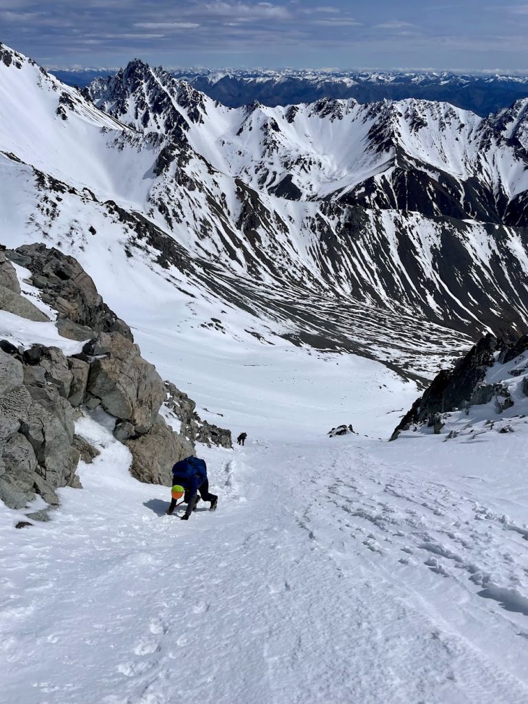
The next section had some patches of ice, so we adjusted our path accordingly and managed to work our way up towards the summit ridgeline. At this point we were exposed to the wind, and the last steeper section to the summit was looking like just the wrong mix of a little bit of snow on rock. The group naturally came to a stop and we huddled for a chat, before pretty quickly deciding that today was not the day to push for the summit. Too many little mishaps on the way up, combined with the wind, the energy we’d used on the unnecessary sidle, and the fact we’d reached our 12pm turnaround time, were all adding up to the same message.
So we headed slowly but surely down the steep snow slope. Once we were off the snow, we stopped for lunch in the sunshine and felt very lucky to be in the mountains.
We made made our way back to the huts, arriving by 4pm. A couple of the group went for a dip in the river, dehy dinners were eaten and more rounds of 500 were played.
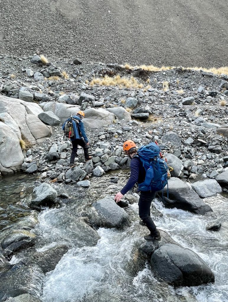
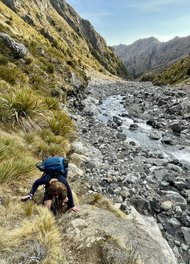
The next morning we left at 8am, and made quick progress down the river. I was playing a game with myself to keep the number of crossings to a minimum, so several times ended up thigh deep on one side or the other trying to keep downstream progress without adding to the crossing tally. I kept it down to 30 crossings though! The trip ended with ice creams in Blenheim and pizza in Picton before the ferry ride home.

