
Summary:
• Mud, mud and more mud!!!
• Approximately 40 km over 2 days, including a side trip towards Pukematawai on the Tararua main range to get some views!
• Te Matawai Hut is an 18 bunk non-bookable hut in the north part of Tararua Forest Park.
Saturday 25 May 2024: 17.9 km
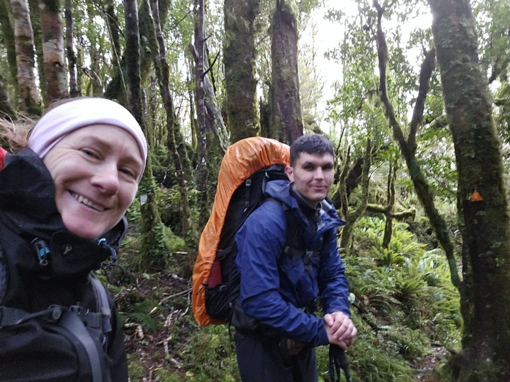
As there were just two of us on the trip and we both live in the Hutt Valley, we delayed our departure until 7am, allowing for a ‘sleep in’. We arrived at Poads Road by 8.15 am, and departed at around 8.30 am as planned. It was cloudy and it looked like there might be some rain. The forecast was for rain in the evening and potentially some snow to 1300 m (although this didn’t eventuate!). We were expecting lots of mud, as it had been relatively wet the previous week.
The ridgeline up to Waiopehu Hut is a fairly steady climb. A light drizzle started about halfway up, so we didn’t get too many photos. We arrived at the Hut just after 12.30 pm and had a very cold lunch on the doorstep, with no views at all of the Ōtaki coastline. Inside, a lone tramper was snuggled up in his sleeping bag reading!
Sure enough, after Waiopehu Hut, we encountered mud along the section to Richards Knob – lots of it, and the rain intensified somewhat! These conditions slowed us down, but once back in the bush, the going improved. Our mud negotiation techniques differed – Matt tended to plough straight through, while I preferred to go around the sides. Either way, it didn’t seem to make a difference to the number of times both of us managed to slide onto our bums!
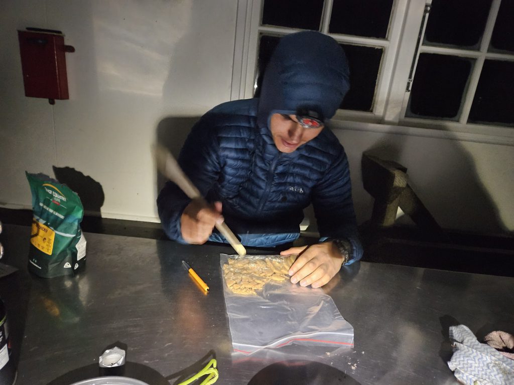
We arrived to a slightly unkempt Te Matawai Hut and did a bit of a tidy up. Then tried to start a fire. Alas, the wood from the woodshed was just too damp to take hold. We warmed up with a hot brew, some dehy food, and the WTMC ‘apple crumble”. Matt decided it wasn’t his cup of tea, so I had two helpings.
Sunday 26 May 2024: 19.5 km
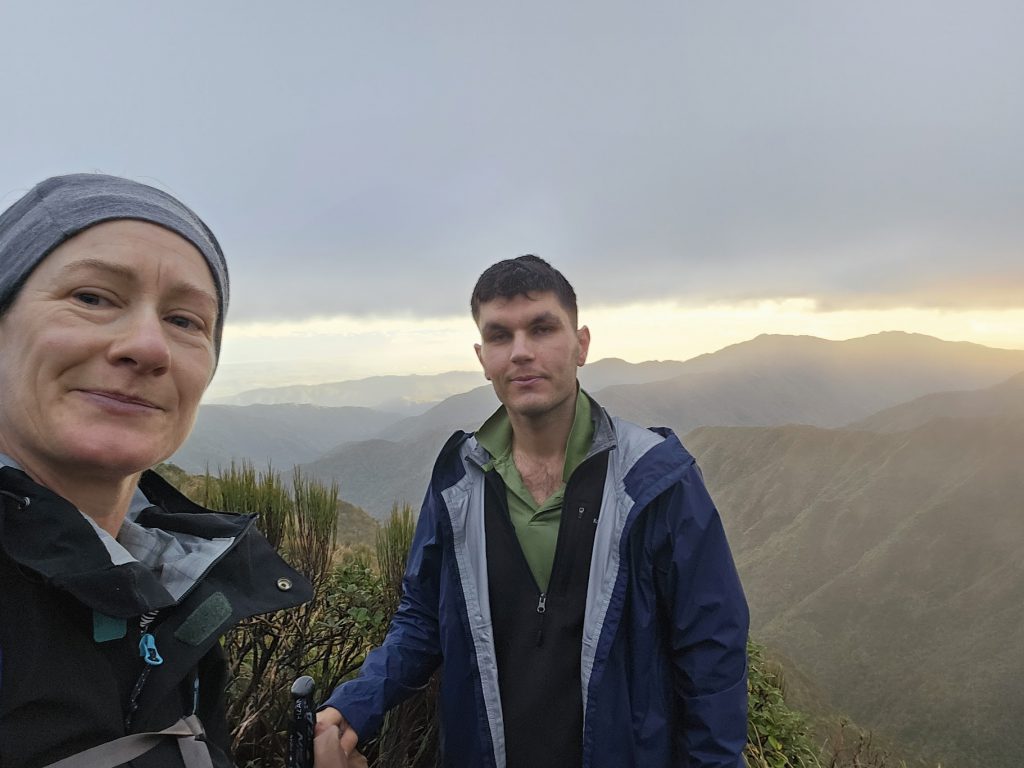
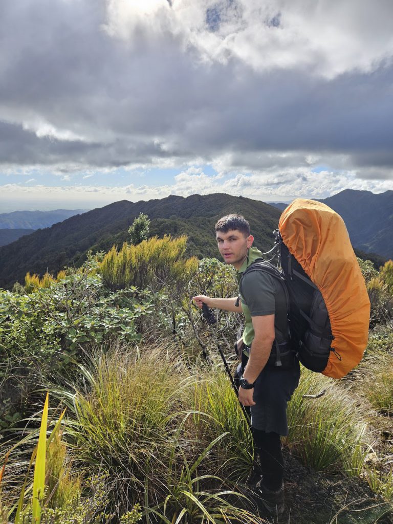
We woke in the night to a mouse / rat rummaging through some left-over containers, and what sounded like shots being fired by hunters somewhere close by. The morning dawned cloudy and clear, with promising views of the tops. We decided to go ahead with our planned side-trip up Mt Pukematawai and departed just after 7 am with a small day pack between the two of us.
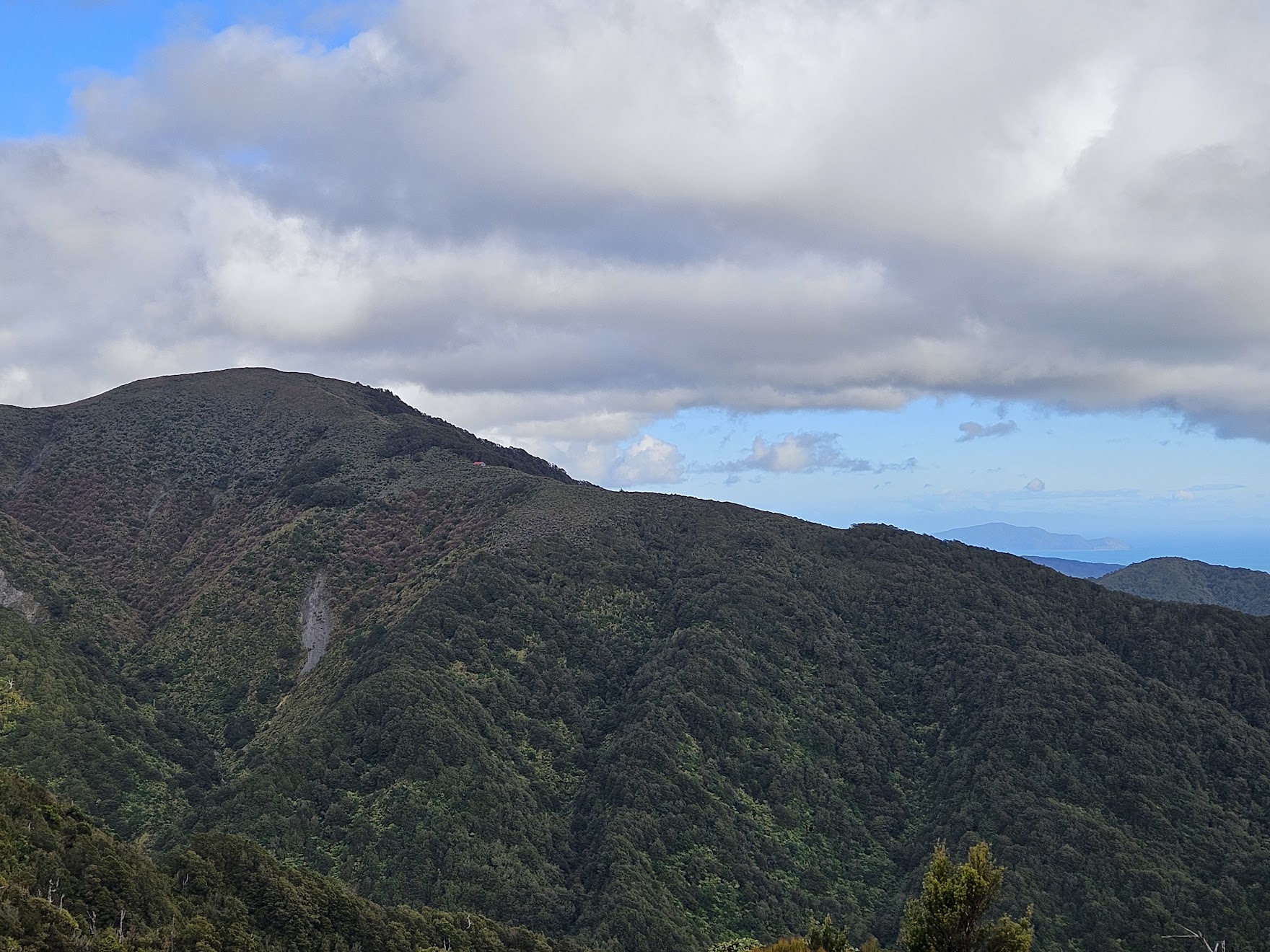
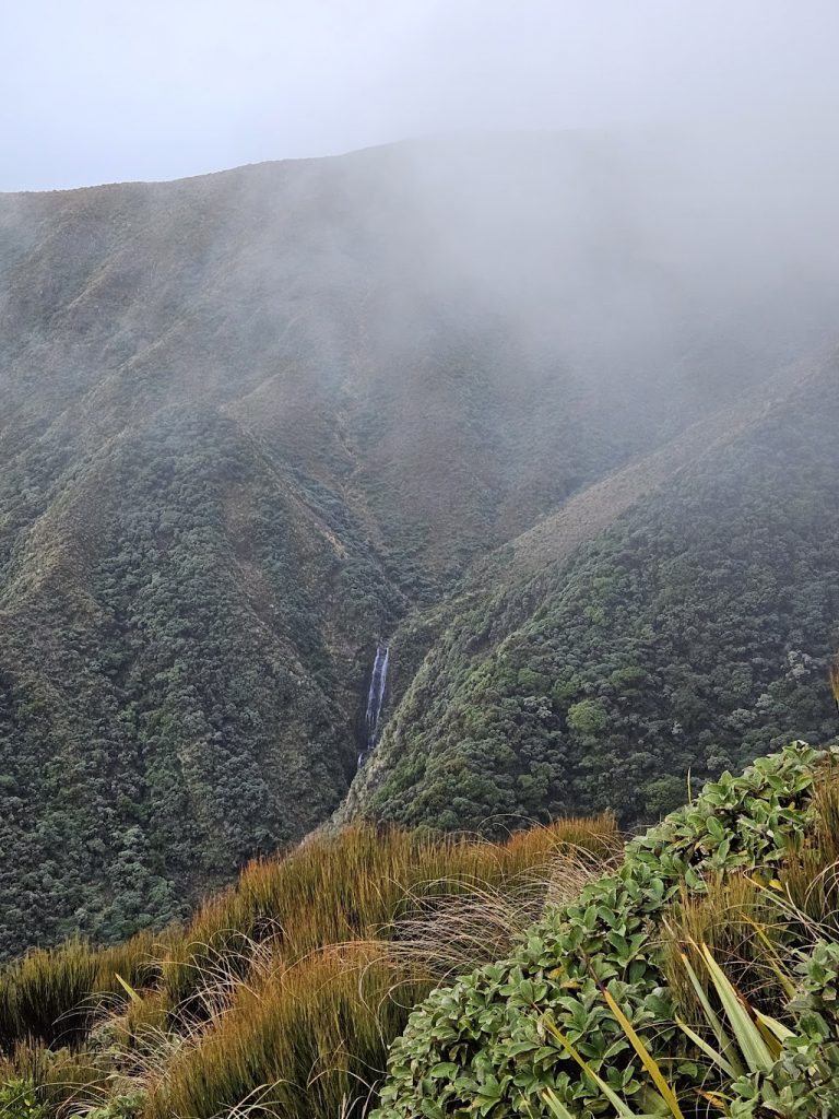
It was a good, well-trodden, track up towards the tops of the Tararua main range, with great views back down towards Te Matawai Hut and the Ōtaki coastline. Unfortunately, as we were climbing up, the clag rolled in and obscured our views. We decided to stop our ascent at around 1150 m and returned to Te Matawai Hut. But we were pleased that we had made the effort!
After re-packing and a final tidy up, we re-traced our steps to Richards Knob. We encountered a Duke of Edinburgh group being accompanied by an old work colleague of Sara’s from Makahika OPC. They mentioned that Waiopehu Hut had been full the night before, which was surprising.
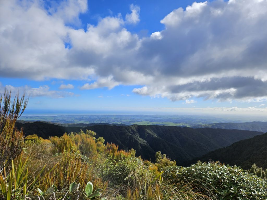
The section of track from Richards Knob to Mayo Knob was still very muddy, but afforded some lovely views back across to Waiopehu Hut and the Ōtaki coastline. Although it was a fairly moderate and steady downhill, our going was a bit slower than the previous day (I think Matt prefers uphill lol!). We managed to scare a couple of pigs on the way down the ridgeline and heard several kereru swooping off as we approached. Matt’s technique of walking straight through the mud saw him go into a mud ‘puddle’ where the mud spilled over into his gaiters. But it didn’t seem to phase him!

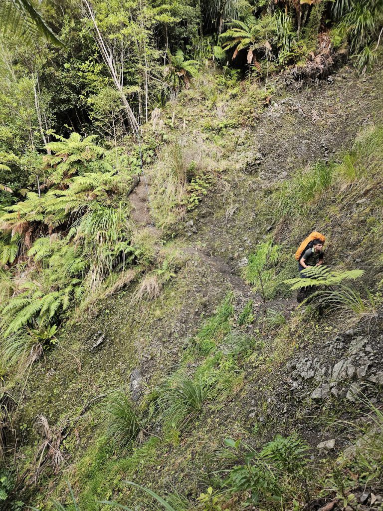
Once down off Gable End ridgeline, it was good to see some signage so we could get a better understanding of track times for unmarked routes to South Ohau and North Ohau Huts, via the unmarked river route. We had also seen signs and pink markers for another unmarked track at around spot height 930 m on Gable End ridge, dropping down to South Ohau Hut. This gave us some ideas for possible summer trips in the region. From the junction with Six Discs Track, it was all fairly plain sailing down the Ohau Gorge Track to the road end. The slip reported on the DOC website was fairly easy to navigate across.
All in all, great to be out in the bush and to get some great views!
Trip Stats:
- Day 1
- Total distance 17.9 km. Climb 1375 m, descent 611 mTotal time 8 hrs 10 mins, including 30 mins for lunch
- Moving time 5 hrs 53 mins
- Poads Road – Waiopehu Hut 8.30 am- 12.40 pm (4 hrs 10 mins)
- Waiopehu Hut – to Te Matawai Hut 1.10 pm – 4.40 pm (3 hrs 30 mins) – Waiopehu Hut to Richards Knob (1 hr), Richards Knob to Yeates Track junction (1 hr 30 mins), Yeates Track junction to Te Matawai Hut (30 mins)
- Day 2
- Total distance 19.5 km. Climb 810 m, descent 1639 mTotal time 8 hrs 50 mins, including 30 mins for lunchMoving time 6 hours 30 minsSide trip: Te Matawai Hut, along Dora Track towards Pukematawai 1150 m, approx. 3.8 km (1 hour 30 mins return)
- Te Matawai Hut to Poads Road (via Gable End Ridge), approx. 15.7 km 9.10 am – 4.40 pm – 6.5 hours (including lunch)
- Te Matawai Hut to Richards Knob (1 hr)Richards Knob to Mayo Knob (2 hrs)Mayo Knob to Six Discs Junction (1 hr 30 mins)
- Six Discs junction to Poads Road End (1 hr 30 mins)