This was not a WTMC trip, but, with the five passes coming up on the schedule soon, I thought it might be useful to share our experience, times (walked at a leisurely pace) and route finding tips.
We had three weeks on South Island to go anywhere and do anything. Plan A was the Tin Range on Stewart Island, but with the skipper who runs the only boat that goes to Port Pegasus on holiday, we defaulted to Plan B: the five passes. Arriving off the interislander we checked the forecast and found the following was on its way: two day window of good weather, horrible front, then a long spell of glorious settled sunshine. We filled the first weather window with a splash round the Inland Pack Track (wonderful), and then drove South through the rain to get to Glenorchy ready for weather window number two. Supplies were purchased in Queenstown to supplement the dehy we had been carefully prepared the month prior (with the club dehydrator – thanks!).
Note: The dehy scores in this report reflect the quality of our own implementation of that recipe and are no reflection of the quality of the recipe itself (all are excellent and we were very grateful of the dehy section of the WTMC cookbook!). Enjoyment is entirely subjective and can be influenced by hunger and tiredness levels!
Day 1: Sylvan Campsite – Beans Burn First Flat (6hrs)
We set off around lunchtime and whizzed along the very easy Lake Sylvan track to the Rockburn Shelter (2.5hrs). Unfortunately we met a large number of jet boats there, one of which was a little less than considerate in choosing to depart right past us just are we were in the middle of crossing the Rockburn (yes it was unsafe, and yes they could see us before they started up and left). It was an easy river crossing had it not been for that hazard. From the Rockburn you cross flats and then follow the true right of the Dart up to Beans Burn. We waded a few edge sections of the Dart before finding a trapper’s trail in the bush which was generally easy to follow (2hrs). We crossed the Beans Burn at the confluence with the Dart. Here the Beans Burn was just over waist deep, but was not that fast flowing so we were fine with doing the crossing linked up. I think you could find a better crossing point a little further up, but we felt safe and couldn’t be bothered searching for a better spot. It was a hot sunny day, and the water was at the refreshing end of the cold scale. From here it took us 1.5hrs to follow the marked route through the bush up to the first flat on the Beans Burn. We initially missed the markers and accidentally followed a ground trail made by jet boaters, until this petered out and we wasted a little time bush bashing to the main route. A valuable lesson learned for the five passes: keep well aware of any markers and carefully stick to them to avoid unnecessary bush bashing and route finding! We didn’t search out the rock biv just before the first flat because there was plenty of good camping at the first flat. Lots of sand flies though. Dinner was WTMC dehy recipe “Black Bean Chilli with Quinoa”. 9/10 (Great recipe Illona!).
Day 2: Beans Burn First Flat to Split Rock Biv (6-7hrs)
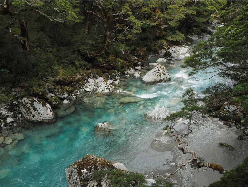
The route from the flat through the bush was slow going – a bit overgrown in places, some treefall, and a few places where we lost the markers. Somehow it was tiring; however there were a few nice spots with views of the Beans Burn and some cool waterfalls. We arrived at the Split Rock at 4pm. There was a good spot for one tent at the split rock and space for plenty of people in the rock biv itself. We took the campspot at the bivvy, but with a larger group I’d choose to camp on the flats to the South of the Rock Biv. Dinner was WTMC dehy recipe “Tomato Pasta”. 7.5/10 (we made it with Penne, but it would have been better with Orzo).
Day 3: Split Rock Biv to Fohn Lakes (4hrs)
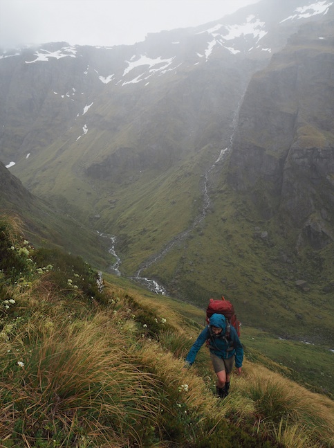
We walked a little further up the Beans Burn finding a way through the patches of bush and scrub. When we were directly under Fohn Saddle we headed straight up the steep slope. It was a steep but easy climb. There was plenty of tussock to cling onto. Towards the saddle the slope got gentler. Two Keas came to investigate us on the way up, calling loudly and landing only a couple of meters to our right. There was a little snow on the saddle (this was just before Christmas), but only about 20m in total distance, and it was super easy to cross. The weather was cloud and drizzle. We had deliberately planned a short day with camping a Fohn Lakes so we could wake to the view in the good weather forecast for the next morning. From Fohn Saddle we descended a little, and then found our own way to contour round to the big lake. There were campspots here, and we pitched up and hid from the rain inside. Later Gareth went on a circumnavigation of the lake to take some stunning pictures of the impressive views. Camping by Fohn Lakes is a ‘must do’ of this route…. It’s a great spot that is not to be missed. Dinner was WTMC dehy recipe “Eggplant with Pomegranate Molasses a Bulgar Wheat”. 9/10 (Another great recipe from Illona, although we made it with brown rice because we were out of bulgar wheat).
Day 4: Fohn Lakes – Cow Saddle (7hrs)
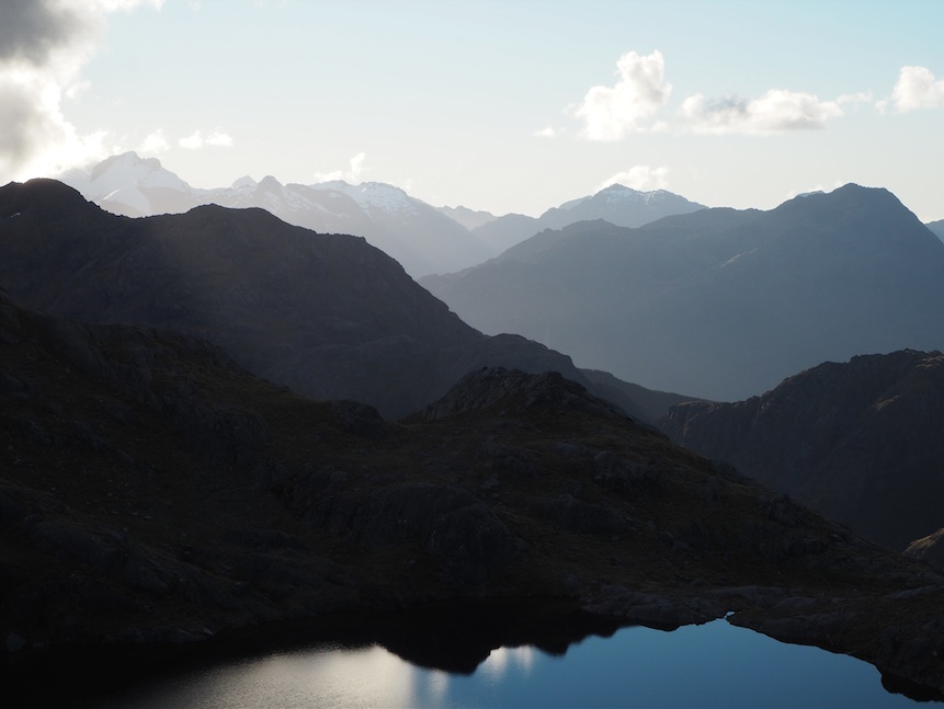
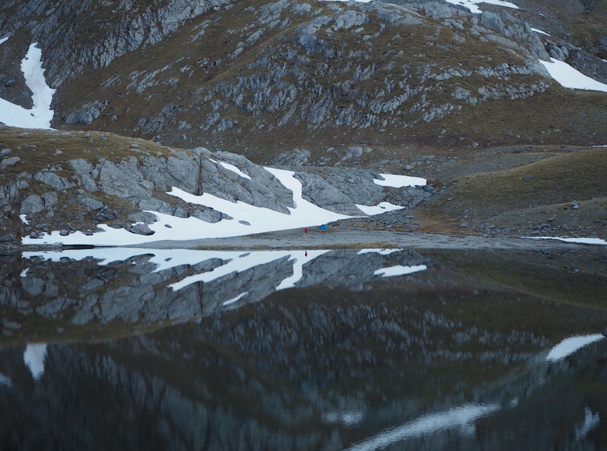
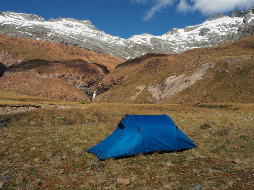
It was really cold when we awoke and we slept in a little to allow the cloud to burn off. Once we’d warmed our hands on our morning tea, the sun started to peak through, and we climbed some small hills by the lake to soak in the view. We left at around 10am. From the Fohn Lakes there is a route you can take where you cross the outflow of the main lake, and then follow the stream on the true right all the way down to the Olivine Ledge. However, we decided to back-track by contouring back round towards Fohn Saddle, then descend from just below the saddle, crossing the outflow steam between the first bend and the next tributary. The outflow steam from the lake is in a steeply cut gorge so there are no good crossing points further up than the bend until you get to the outflow. The sounding area is rocky/bluffy. Once on the true right of the outflow stream it’s easy to follow it down to the Olivine ledge. The Olivine ledge is tussocky and, apart from negotiating the uneven ground underneath the tussocks, it’s easy to follow the ledge along towards the red rocks of Fiery Col. We took our time as this really is the most stunning section of the route. Toward Fiery Col we picked up a trail of cairns. Fiery Col is more rocky than Fohn Saddle but the ascent was easy. As expected, when we got to the top we found snow slopes on the South Side. These were steep at the very top, but then became more gentle. We had deliberately left late in the day so the sun had time to soften them. We both used our axes, and I used micro crampons too. After the snow we crossed some gentle scree and found the convoluted cairned route down through the crags and rocks. This followed the spur to the South of the stream from the col. It was easy, but we were glad of the cairns showing us the way as we would have had a hard time finding a way through the crags without them. We arrived at Cow Saddle at 5pm. There is plenty of camping here. A peaceful spot; we enjoyed drying our feet in the sun. Dinner was WTMC dehy recipe “Venison and Red Wine”. 9/10 (This is a favorite of ours – thanks Amanda).
Day 5: Cow Saddle to Rock Burn Middle Flat (9hrs)
We followed the gentle tussock flats down to Hidden Falls creek. Shortly after hitting the creek we found a great little cairned trail that followed the creek, crossed sections of scree and rockfall, and led us through sections of bush. Popping out of the bush we lost the carins a couple of times, and had to search to pick them up again. They were worth finding as there were some great sections of track through the bush where the creek was too steep and rocky to travel down. There was a wonderful clearing that would be good for camping. We had been told there was a big cairn by the creek marking the start of the track up to Parks Pass, but we found that the cairned trail we were on led us gradually away from the creek and up the hill, and we realized that we were on a faint ‘side trail’ that cut the corner up to the main trail. We followed it until we popped out onto the main cairned route to the pass. This route climbs steeply up the spur just to the north of a obvious ‘finger’ of clearing in the bush (caused by a slip/rockfall). It was an arduous unrelenting climb on a hot day. We were glad to arrive at Park Pass which had extremely pleasant views. There is a small campspot with room for one tent (or maybe two) at the pass. We descended down to the Rockburn where there is plenty of camping options on the flats below the pass. There is also a Rock Biv with an impressive view down the valley that could easy accommodate a sizable group. After the rock biv there is a marked track through the first section of bush. We camped at the next flat. We were enjoying the peace and quiet and didn’t want to push on to Theatre Flat as we thought there might be people there. Dinner was backcountry “Moroccan Lamb”. 7.0/10 (One of backcountry’s better offerings, but not up to the standard to WTMC homemade dehy).
Day 6 (Christmas Day): Out to Routeburn Carpark (8hrs).
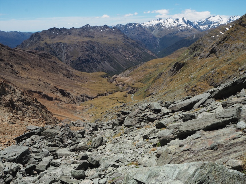
From the Rockburn Middle Flat we followed the marked track through the ‘mini saddle’ to Theatre Flat (1hr). Gareth scrambled up onto the rocks from the mini-saddle to point 908 and reported there were great views from there and a wonderful little camp-spot. There were people camped for Christmas at Theatre flat, but we left them in peace and pushed on following the easy track along the Rockburn. This was quick going. The track climbed up through the bush and we reached the junction to Rockburn Shelter. From here the ascent was steeper, but we were grateful of the shade the bush provided. It was a hot day, so we were very glad the bush went pretty much all the way to Sugarloaf pass. Reaching the top there were good views back along the valleys we had travelled, but also South to the civilization of Glenorchy. From the pass it took as 1hr 20mins down to the Routeburn track, and then a 15min stomp along the great walk to the car park. It was easy to hitch a lift back to our car at the Sylvan Campsite. We drove to Kinloch in the hope of some Christmas Dinner. We love Kinloch, but the lodge was shut so we took our pursuit of Christmas dinner elsewhere. We drove to Glenorchy. The café was shut. The pub was shut. The shop was shut. The campsite was open, but the owner wouldn’t sell us any vegetables …..or beer ……or anything except a camp spot. We searched the boot of our car and found 1 packet of pasta, one tin of tuna and one shriveled kumara (0/10 – Not recommended as Christmas dinner, but it was that or the emergency backcountry supplies). I guess our organization and planning had been so focused on the tramping we had failed to plan for everything being shut on Christmas day when we got out! Luckily the café opened on boxing day and we could treat ourselves to brunch in the sunshine to compensate for the worst Christmas dinner we have ever eaten.
Summary: The five passes is a great route for experienced trampers who have researched the route well. Whilst there are some marked sections, the route is not marked the whole way round. The nav is fairly easy in good weather, but you’d want good map and compass skills in clag. There are no huts, but there are plenty of camping options the whole way round, and you are rarely more than 1hrs walk from a water supply. There are plenty of creek crossings, so expect wet feet, and there are a few more major river crossings. The views are stunning, and the lack of huts mean that you are likely to get a peaceful experience.

Did you see any deer or Chamois on your travels up the Beans Burn?