Fri 3 Jan – Ferry and camping at West Bay (Jetty Campsite)
It was with anticipation that the four of us met at Wellington train station at 11.15 am. I’d been waiting to get a 5-day window for a while to attempt this tramp and duly put it on the trip schedule. We were to travel with the EM group, and after a few intros, we all piled in the van and headed down to wait in the ferry queue.
Earlier in the week the forecast had not been great. But the latest forecast predicted heavy rain for Friday evening, relatively clear weather for Saturday – Tuesday, and rain on Wednesday.
We arrived in Picton to drizzle and then encountered torrential rain as we drove across to St Arnaud. We hoped it would stop before we had to put our tents up and that the Fish and Chip Shop would still be open when we arrived (Google said it closed at 7pm). When we arrived at 6.30pm, it had just closed. So that left us with only one option – dehy meals or pizza at the Alpine Lodge. Fortunately, the bar manager at the Lodge managed to squeeze our order in, and we were not disappointed! Highly recommend the salmon and capers pizza!

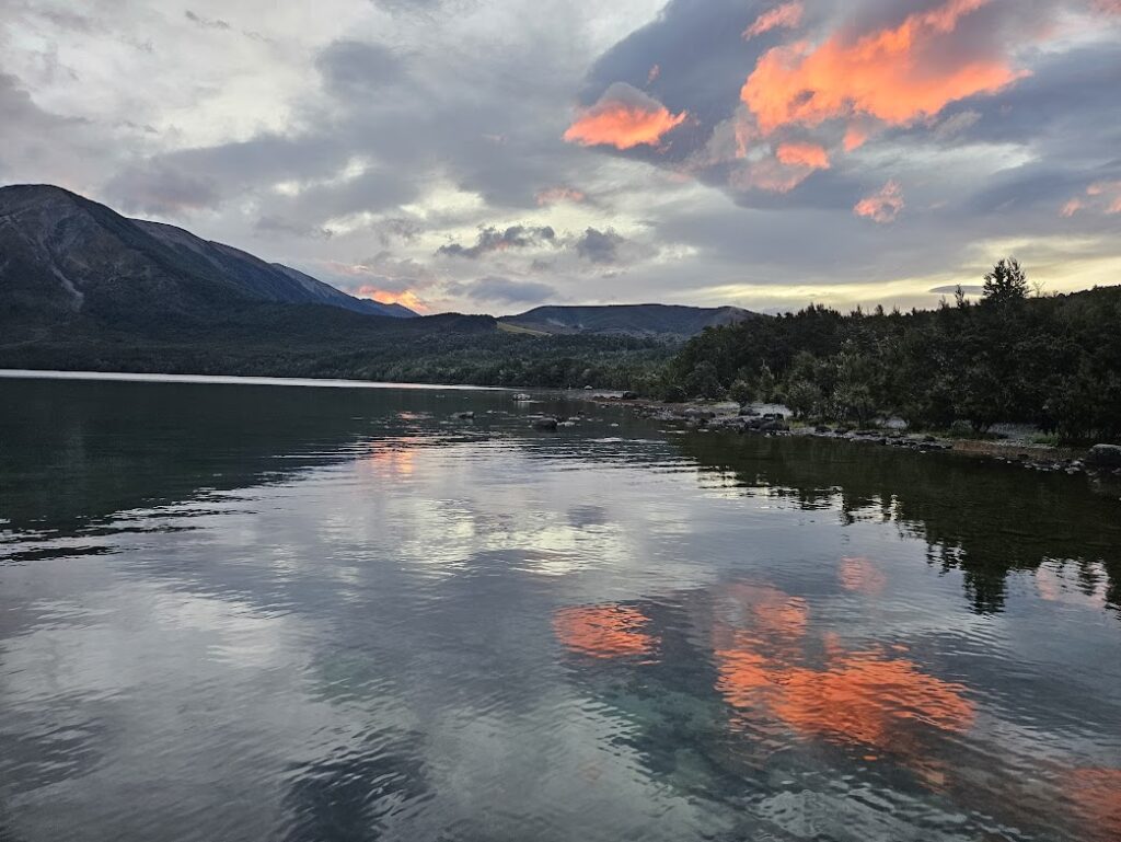
We headed to the Jetty Campsite, just out of town on the Western side of Lake Rotoiti and ate our pizza down by the Lake. We then pitched our tents for the night at the small campsites which were sheltered in bush. It was very moody down at the Lake that evening, with a lovely sunset, tinged with a red sky (shepherd’s delight!)
Sat 4 Jan – Robert Road to Upper Travers Hut
We left the camping ground at around 7.15 am and Peter from the EM group dropped us a few kilometres further up the road to the beginning of Lakeside Track. We started walking by 7.45 am. We set off at a good steady pace along a well-maintained flat track and walked the 8 km track to Coldwater Hut in around 2 hours.
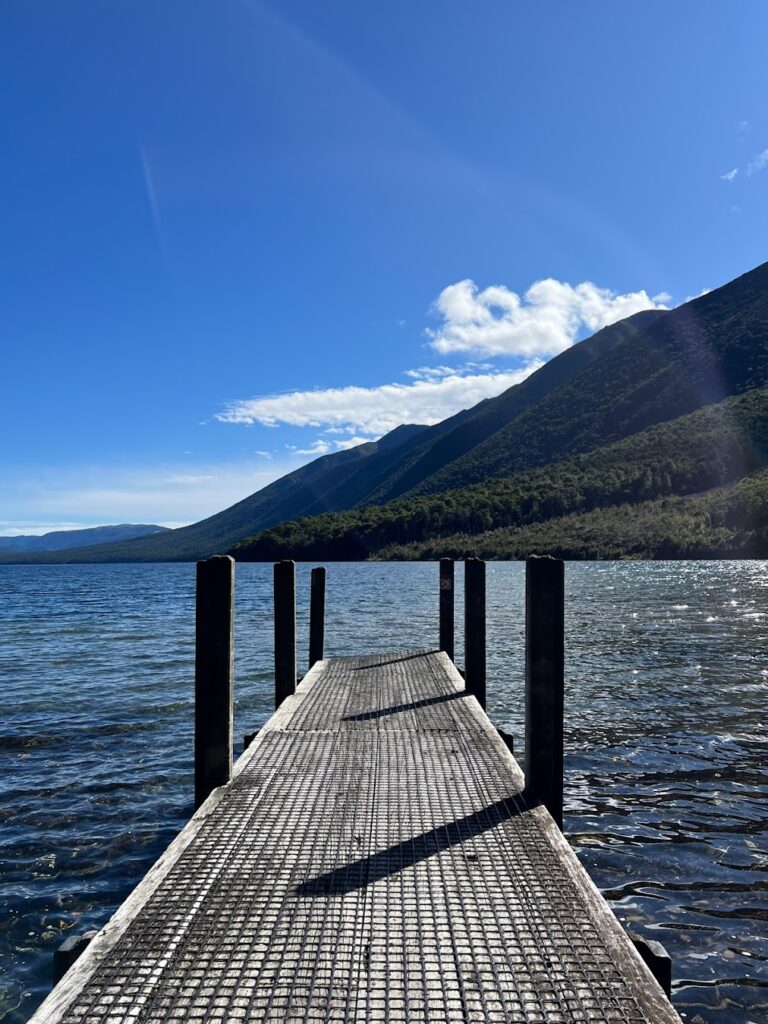
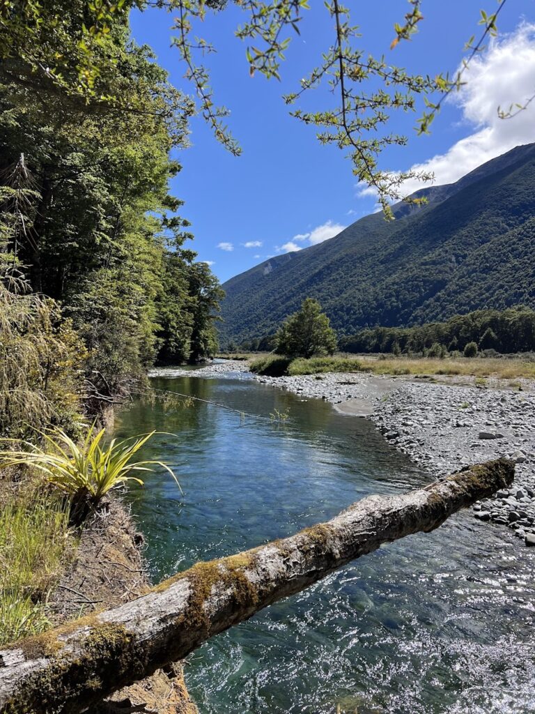
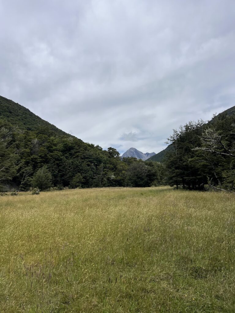
After a quick morning tea, we headed off again, following a group that had arrived at the jetty to go canyoning. The next section, along the Lower Travers Valley track, was still relatively flat, with a few more undulations. The track followed the Travers River and there were some lovely swimming holes, and open grassy meadows along the way.
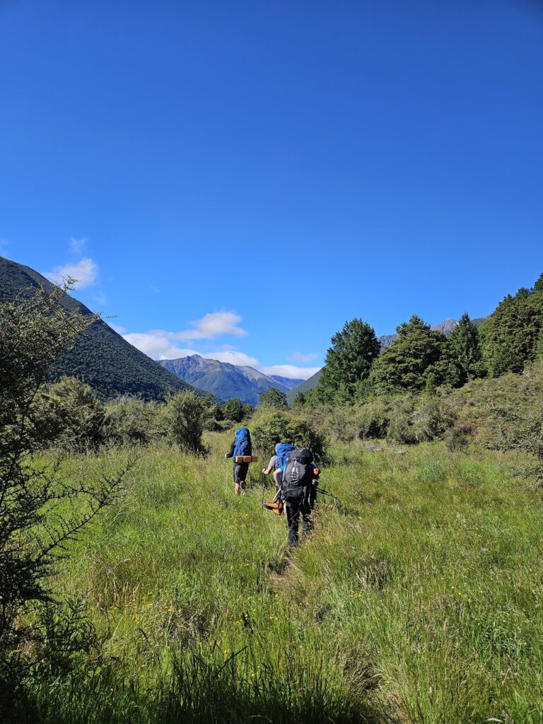
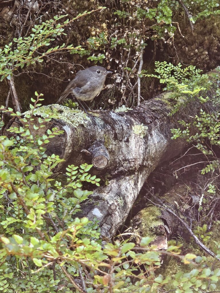
We also spotted a cheeky Weka and several South Island Robins (Kakaruwai) – a sparrow-sized bird with the status of a protected endemic species. We were generally walking at a MF pace and reached the swing bridge over the Travers River at around 11.30am. When we had left Coldwater Hut, the sign had said 5 hours to John Tait Hut. So we were debating how much longer it would take us to reach John Tait Hut. As we had been covering ground quicker than the DOC-advertised times due to our quick pace, we thought another 2 hours would be sufficient.
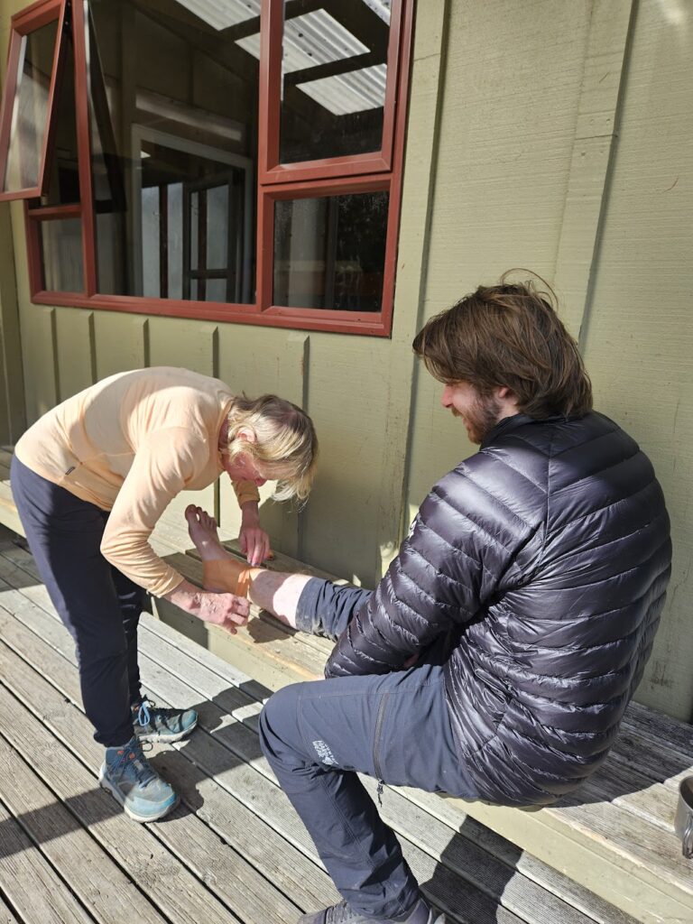
There was a large rock slip just past the swing bridge and we navigated it via a detour (however, this wasn’t necessary as we traversed the slip later with no difficulties). Soon after, however, Rory’s pace slowed. When we reached the second swing bridge, just short of the turn off to Hopeless Hut at around 12.30pm, Rory informed the group that he had rolled his ankle and was in considerable pain. We paused for a while to assess the injury, rehydrate, and consider our options. Rory was able to walk slowly after taking some painkillers and anti-inflammatories. We decided to continue to John Tait Hut (which was approx. another 5km further along), rather than backtracking to Coldwater Hut.
It took us longer than expected, as we adjusted to a speed Rory was comfortable with. We talked through various contingency plans as we walked. The group decided that Ellis and Josh would continue to Upper Travers Hut, as planned, and that Sara and Rory would remain at John Tait Hut overnight. Then, depending on how Rory’s ankle was feeling the next day, we would either (1) continue the walk (minus detour to Blue Lake) or (2) walk out to Coldwater Hut.
Soon after having this discussion, two TA walkers who had just come from John Tait Hut approached us and advised that a lone French male tramper had broken his ankle 200 m further up the track, and they wondered if they should activate their PLB. We advised they definitely should (as the injured walker did not have his own).
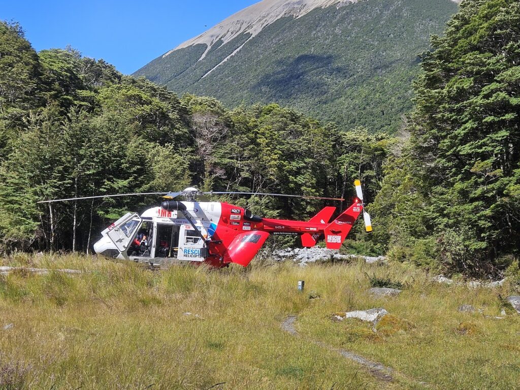
A few of us went up to the injured man to see if we could assist to move him back to the helicopter landing pad at John Tait Hut. Luckily there was a doctor at John Tait Hut who was able to assist, and she administered some stronger painkillers before the helicopter’s arrival around 30 mins later.
Ellis and Josh left at around 4.45pm. Rory and Sara camped for the night. Rory tried to ‘RICE’ his ankle by cooling his ankle down in the river and resting up and elevating his ankle in his tent.
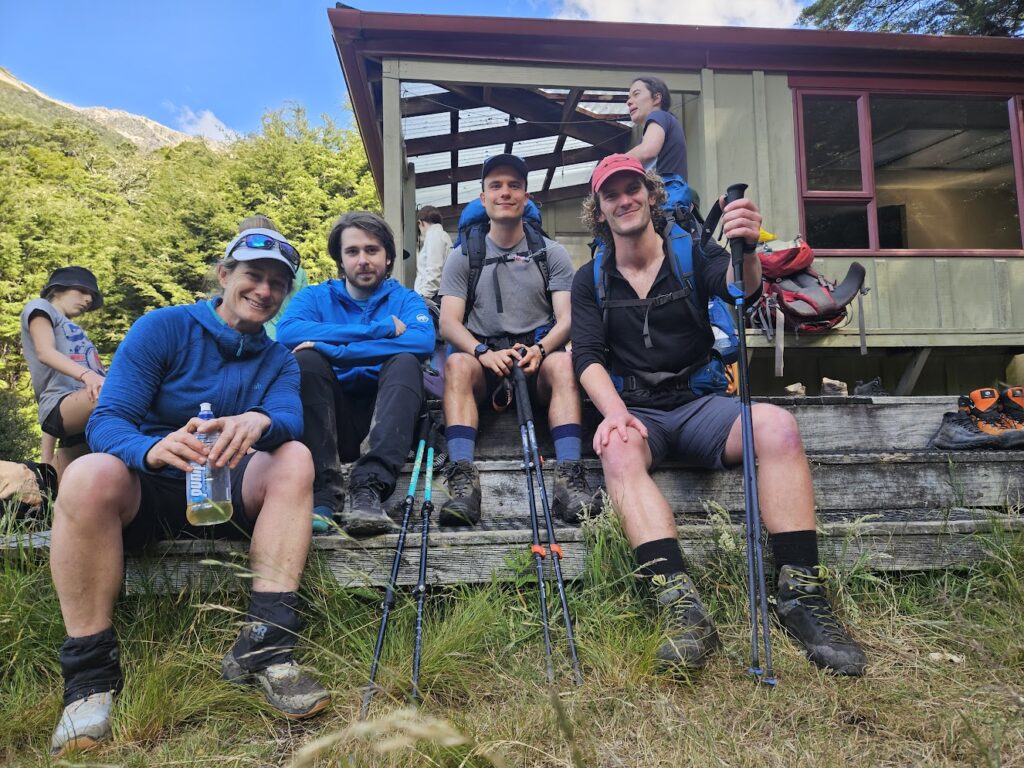
Josh and Ellis: We left John Tait Hut at 4.45 pm and began to climb gradually, on an increasingly boggy track. We then crossed Cupola Creek and continued up past Travers Falls. The track began to dry up a little here and became more rocky. We continued to climb gradually, albeit with tired legs, and crossed several winter avalanche paths before arriving at a beautiful alpine basin containing Upper Travers Hut. We arrived at about 7pm, after 2 hrs 15 mins of walking at a good pace with few stops.
Being quite tired, after a warm dehy dinner and some good kōrero with others at the hut, we went to bed.
Sun 5 Jan – Upper Travers Hut to West Sabine Hut
Josh and Ellis: With a shorter day of tramping expected, Ellis and I allowed ourselves a slower start, and set off at 8am.
There had been much talk at the hut over breakfast about the looming grey clouds drifting over Poukirirkiri (Travers) Saddle and the light, intermittent showers they were dropping in the basin. However, my decision to be bold and start the day cold, paid off as the showers never developed further.
On the tussock steps and boulder hops up to the saddle, we enjoyed a light and cool breeze. There was also the odd bit of sleet drifting down. It took us about 1 hr 20 mins to reach the saddle, where there were great views back to Upper Travers Hut and down into the Sabine valleys.
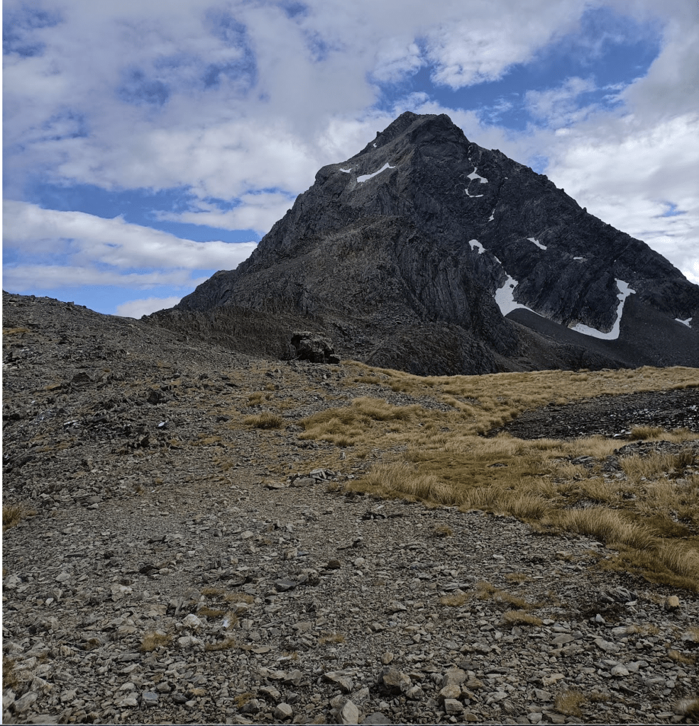
As we began to drop down towards the bushline, the valley containing Sabine River’s East Branch opened up to the south and I was struck by the steepness of it’s slopes and it’s depth. Off to our right, on a spur in the shadow of Mt Travers, we heard the squawk of Kea. Stopping to look for them, we saw three Kea sat on the rocks no more than 150 m away and a little above us. Then, one by one, we observed 4 Kea take off and fly and squawk above us towards the south.
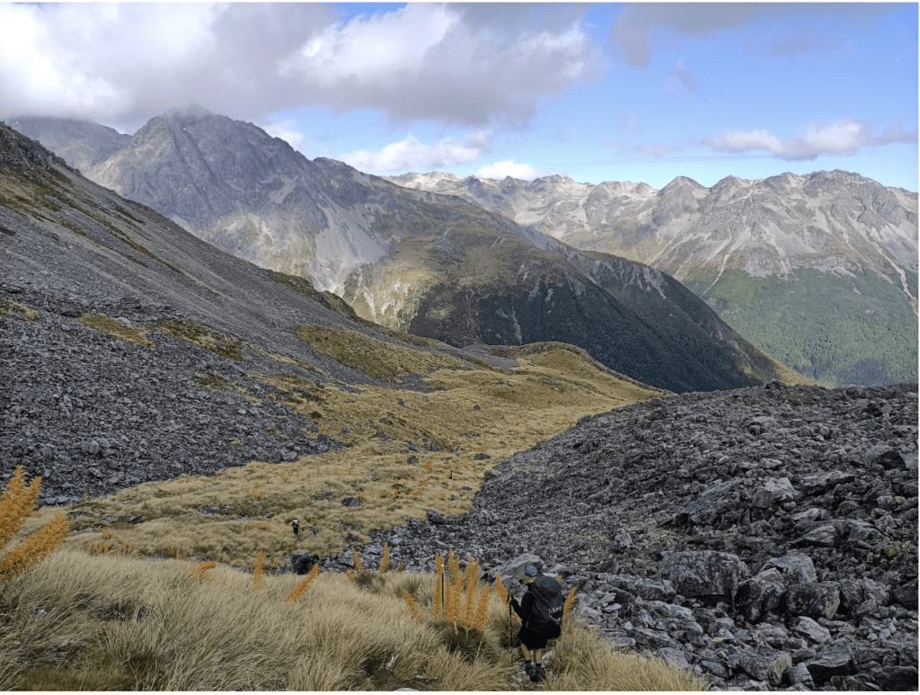
Sabine East Branch Valley
Reaching the bushline, we steeply descended 600 metres to the river. It was a tough descent and we were glad to not be climbing it, but we enjoyed the beautiful beech forest clinging to the valley’s side, growing ever taller as we descended.
Not long after reaching the river, we came to a bridge. I had been expecting the bridge (from reading the map), however I had failed to observe the proximity of the contours accurately and we were surprised to find ourselves staring down into the abyss of a slot canyon. I found it equal parts awesome and terrifying.
From here the track sidled above the river (on it’s true left) for a couple of kilometres, amongst very tall and handsome beech forest. The track then descended a spur to the Sabine River. We then turned upstream and arrived at West Sabine Hut at around 12.30 pm (4.5 hours after having departed Upper Travers Hut).
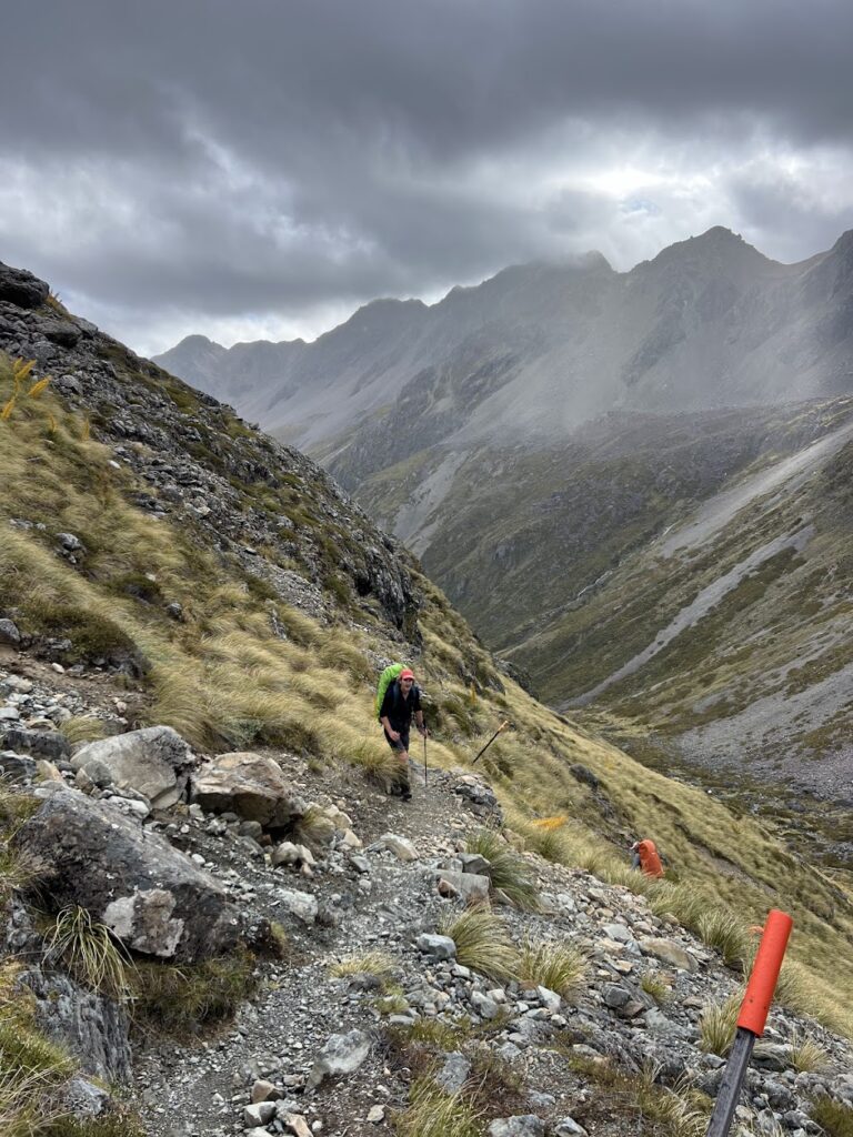
Sara & Rory: The next morning, the doctor took a look at Rory’s ankle. It was quite swollen with some bruising. She advised that Rory had likely strained some of the interior ligaments and should minimise walking on it. This meant our only real option was to follow option (1) – ie walk back out to Coldwater Hut.
We knew the EM group were due to stay at Coldwater Hut that night, so it would give Sara the option of joining their group, and Rory could returned to St Arnaud by water taxi or by ambling along the Lakefront Track (depending on how the ankle was feeling).
We left John Tait Hut at around 10.15 am and it took us most of the day to get back to Coldwater Hut, arriving at 3.45 pm. Along the way, we met the EM group, who were heading towards Hopeless Hut. Their leader, Tony, had also injured his ankle and they advised that he was staying the night at Coldwater Hut.
The EM group had decided to amend their trip – deciding to stay at Hopeless Hut that night and to travel to Angelus Hut the following day via Sunset Saddle.
After reaching Coldwater Hut, we chatted with Tony about options. We decided that Tony and Rory should stick together – go back to St Arnaud together (but stay at Coldwater Hut for a further two nights first, if need be. And there was an option of them joining everyone at Speargrass Hut on the final night.
I decided to backtrack, once again along the Lower Travers Valley track, to join the EM group at Hopeless Hut. Leaving at 4pm, it took 3 hours 40 mins (at a quick pace) to get to Hopeless Hut. I arrived just in time for a shared cake with the EM group, a quick dehy meal and straight into bed. It had been a long day!
Mon 6 Jan – West Sabine Hut to Blue Lake Hut and beyond
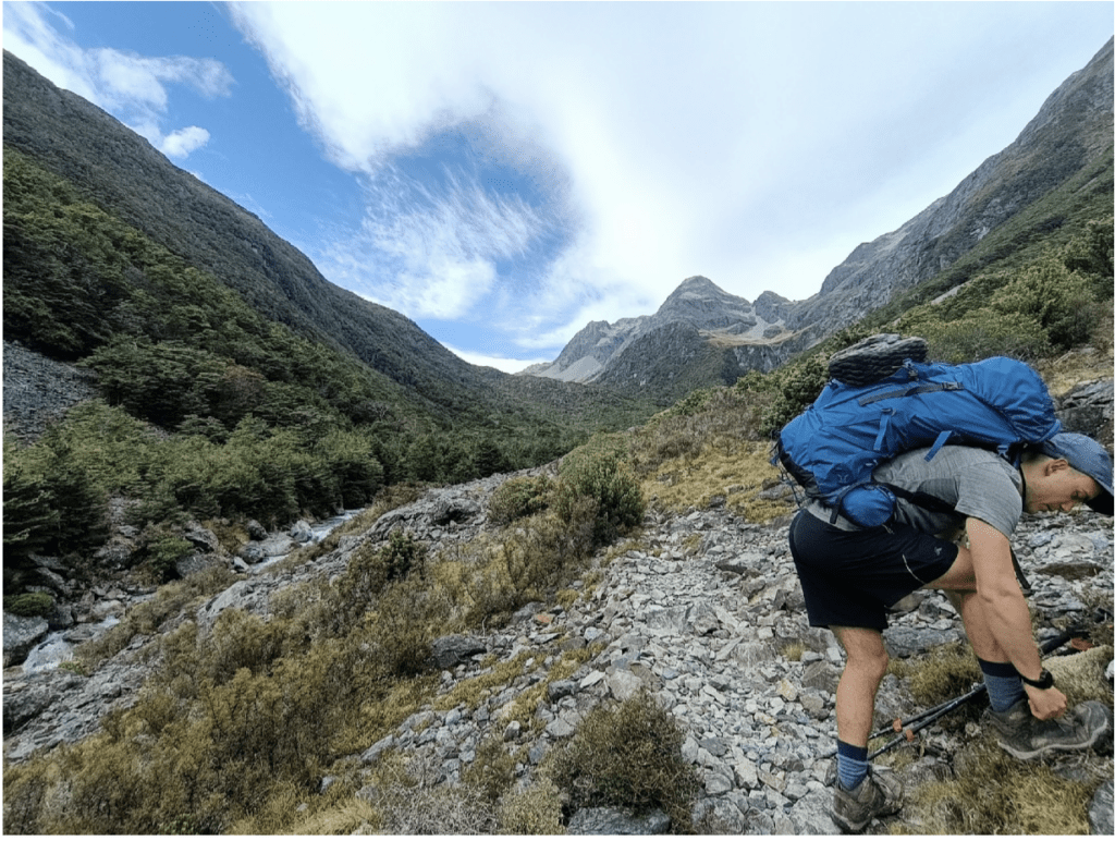
Josh and Ellis: It was only a short walk up to Blue Lake, and we started walking at 7.30 am. It was a clear, crisp morning and the going was easy enough for the first hour.
However, the track soon became a bit more haphazard, as it crossed several side streams on the true left. The fourth such stream joins the main river diagonally, and according to the map, comes down from the north of high point 1624 (elevation). At this crossing, before checking the map, we assumed we were still beside the main river, and spent a couple of minutes looking for the track. We soon realised we had missed a sharp left turn. After this stream the track becomes more technical in places – with some washout to negotiate, sections of scree and some steeper climbs.
The views opened up further down the valley and we were treated to a beautiful section of flat, mossy forest. We arrived at Blue Lake Hut at about 10.30 am, after 3 hours of walking.
As we had had a short day of walking, we decided that we were up for something more, so we decided to have a look at Moss Pass. It sits above Blue Lake Hut and connects the Sabine and D’Urville River valleys.
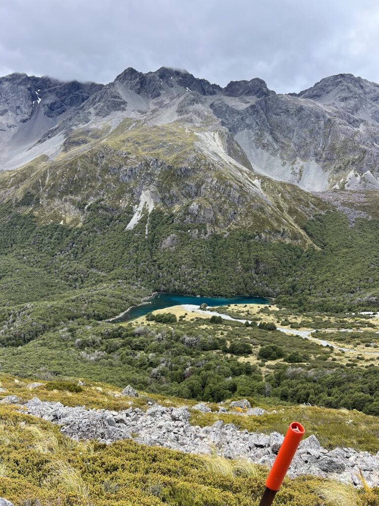
So after lunch we left our packs at Blue Lake Hut and took day packs – and followed the Moss Pass track. This led us up a water flow and tussock slope behind Blue Lake Hut for a couple hundred metres. The track then climbed above some tarns and the 1409 high point, sidled across scree and the last 100 m elevation involved climbing/scrambling up a steep gully.
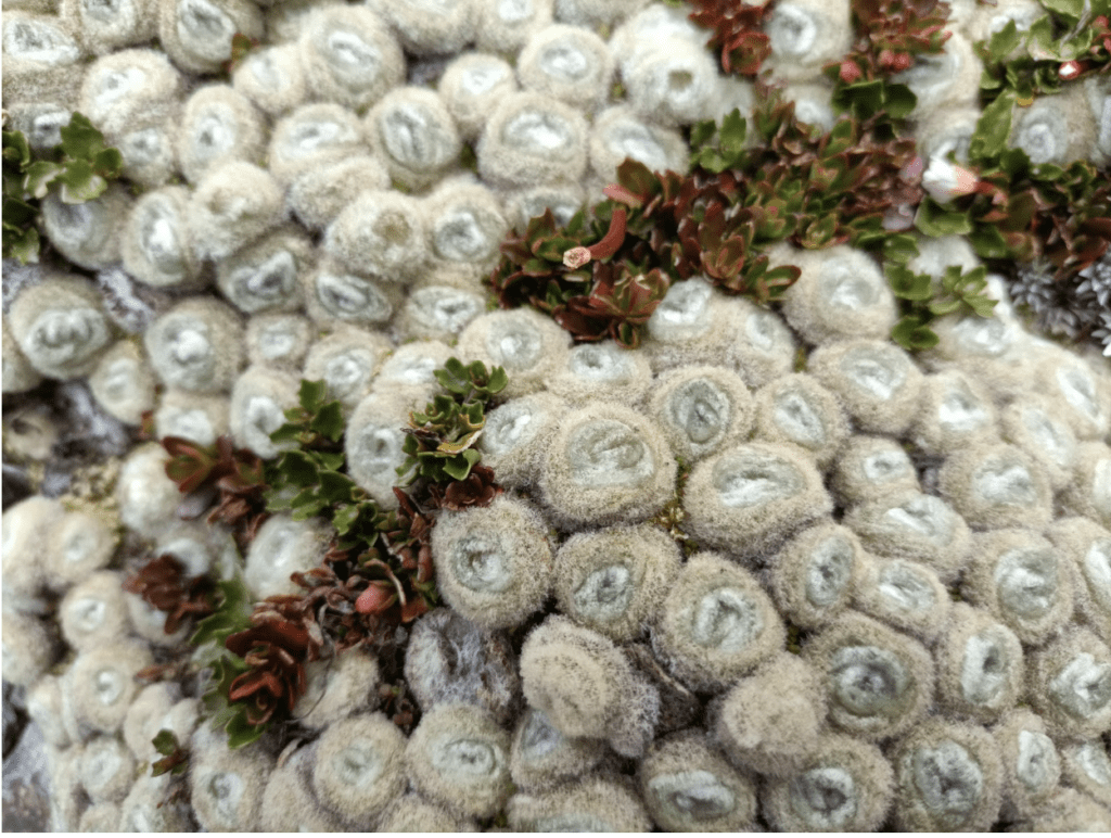
We enjoyed some of the alpine flora & fauna on the way up, including grasshoppers, butterflies, and a camouflaged spider. We particularly appreciated seeing the vegetable sheep moss, which Moss Pass may have been named for.
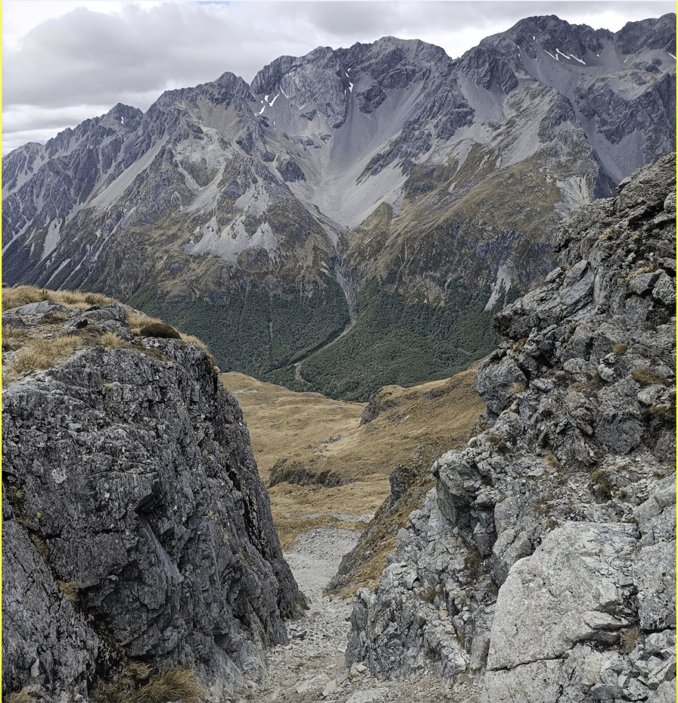
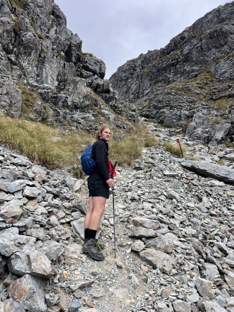
We enjoyed the views over to D’Urville Valley, which revealed some big snowy peaks to the south. We then to Blue Lake Hut. This side trip took us 1 hr 15 mins (and took the same amount of time to return).
Tues 7 Jan – Blue Lake Hut to Speargrass Hut
Josh and Ellis: With a big day in store, we woke up early and left at 7am. We made good time, walking from Blue Lake Hut to the Bridge to West Sabine Hut in 2 hours. It then took us 4 hours, at a steady pace, to get down the valley to Sabine Hut. It was cruisy river travel, and the track got flatter and easier throughout the day.
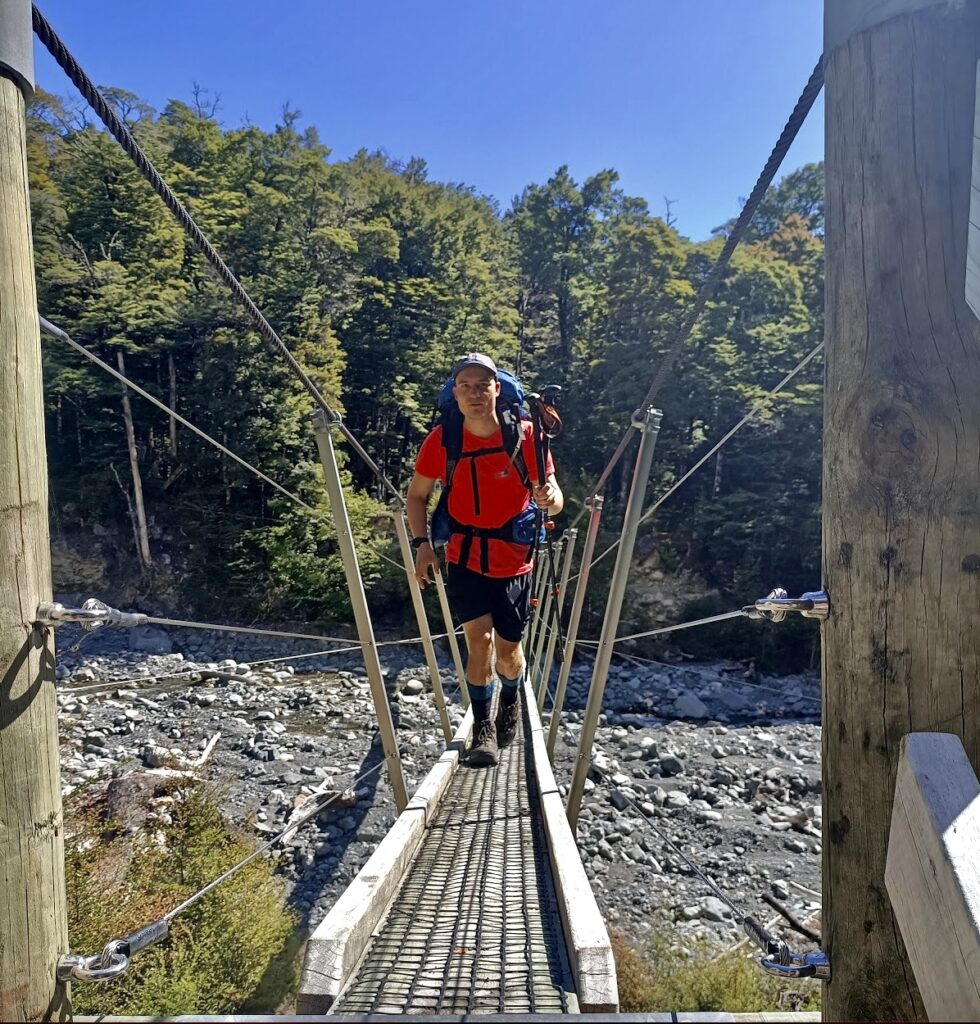
After lunch at Sabine Hut, we left for Speargrass Hut. It was brutally hot for the first hour or so, in mostly exposed, dry forest. We found relief from the heat as we climbed and were enveloped by forest canopy, and also by filling our hats with water every chance we got. After 4 hours we arrived at Speargrass Hut. It was a beautiful sight in the early evening sun. It was nice to catch up with the EM crew and to have a refreshing dip in the cold stream nearby.
Sara: The EM group arrived at Speargrass Hut at around 4pm (after having left Angelus Hut just after 1pm). They had a relatively cruisy afternoon and were wondering what time Josh and Ellis would arrive after their big day. Sara’s estimate was 7pm. At around 6pm, two Australian walkers arrived saying they had seen Josh and Ellis. And sure enough, they arrived at Speargrass Hut at around 6.30pm – after a 10-hour day!
Wed 8 Jan – Speargrass Hut to Robert Road end
It started to drizzle just after 6 am. Sara wasn’t quick enough to get her tent down, so she had to pack it up wet. Sara rejoined Ellis and Josh, and the team headed off at around 7.45am.
The Speargrass Track was a fairly straightforward walk, largely following Speargrass Creek. There were some undulations over various side streams and a light drizzle most of the way (which was quite refreshing after 4 hot days).
A final uphill section brought us to the Mt Robert Carpark. We then had a brief walk of around 2 km back to the Lakeside Track carpark (where the van was parked), arriving at around 10.30 am. Tony was at the van – he had spent the previous night at Bushline Hut. Rory had walked to the free DOC Teetotal Campsite and had gone kayaking at Kerr Bay the previous day. We jumped in the van and headed back up the hill to pick up the EM group from the road end. Then it was back to Picton for our return ferry.
Some of the days ended up being longer than the typical M trip (due to availability of hut bookings at Blue Lake Hut). However, everyone was aware of this beforehand and happy with the plan.
All in all, a brilliant trip, with some outstanding scenery! We will definitely be back to further explore some other tracks in the region!
Stats:
Day 1 – Mount Robert Road End to Upper Travers Hut
- Distance: 30.5 km
- Elevation gain/loss: 1020/405
- Moving Time: 8.5 h
- Elapsed Time: 11.5 h
Day 2 – Upper Travers Hut to West Sabine Hut
- Distance: 8.8 km
- Elevation gain/loss: 555/1198
- Moving Time: 4 h
- Elapsed Time: 4.5 h
Day 3 – West Sabine Hut to Blue Lake Hut
- Distance: 8 km
- Elevation gain/loss: 581/57
- Moving Time: 3 h
- Elapsed Time: 3 h
- Side Trip to Moss Pass: 3.7 km, 2.5 h, 600/600
Day 4 – Blue Lake Hut to Speargrass Hut
- Distance: 35.2 km
- Elevation gain/loss: 1080/1200
- Moving Time: 10 h
- Elapsed Time: 11.5 h
Day 4 –Speargrass Hut to Mount Robert Road End
- Distance: 8.8 km
- Elevation gain/loss: 199/542
- Moving Time: 2.5 h
- Elapsed Time: 2.75 h


Nice to read this story and how you adjusted your plans, making sure no one gets left behind. We are currently thinking about doing the Traverse-Sabine with the addition of Blue Lakes and Angelus Hut. Unfortunately Angelus Hut seems to be booked out for the whole period – we thought about going there at the beginning (as there’s available just for one day) but it sounds like going the other way might be a bit too hard, so probably worth carrying the tent and going the recommended way instead. Currently have this as planned. The Blue Lake trips might be a bit too much? Any recommendation on how to adjust this?
Day 1: St Arnaud to Lakehead Hut (3h)
Day 2: Lakehead Hut to Upper Travers Hut (6.5h)
Day 3: Upper Travers Hut to Blue Lake Hut (7-8h)
Day 4: Blue Lake Hut to Sabine Hut (7h)
Day 5: Sabine Hut to Angelus Hut (5-6h) *camping
Day 6: Angelus Hut to St Arnaud (3h)