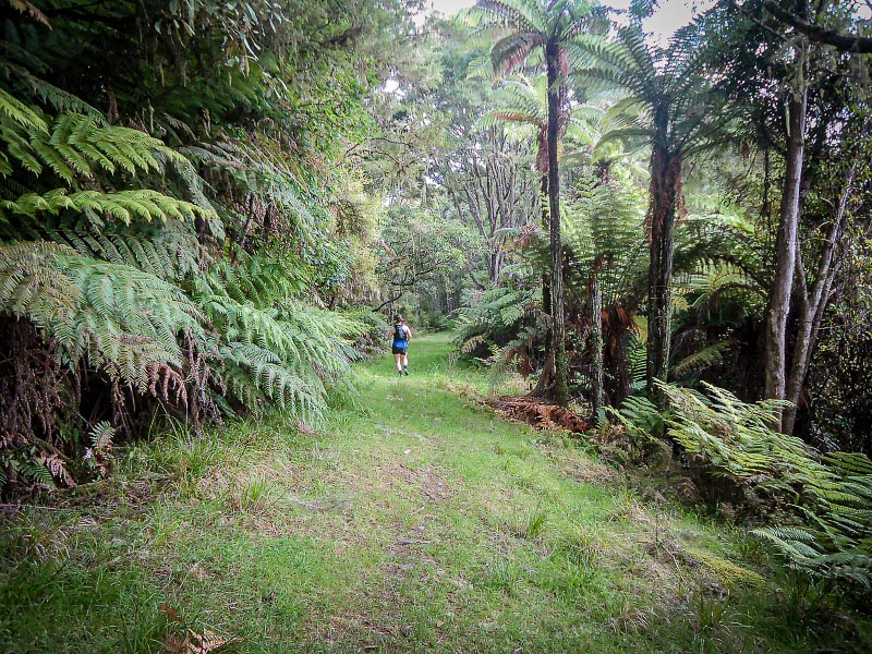
For those yet to experience the Whanganui National Park but would like a taste of what the terrain offers, there is the easily accessible Atene Skyline Track. It is just 30 minutes drive from Whanganui on the Whanganui River Road. Being a near loop, it will suit many – walkers and trail runners alike. There are also a couple of campsites for overnight trips. It is however not buggy or pet friendly.
.The Skyline Track circles Puketapu Hill (276 m) which Whanganui River once flowed almost completely around. Years of erosion saw the river break through the neck of the peninsula Puketapu Hill sat on, forcing a more direct route to the sea and cutting off a picturesque meander.
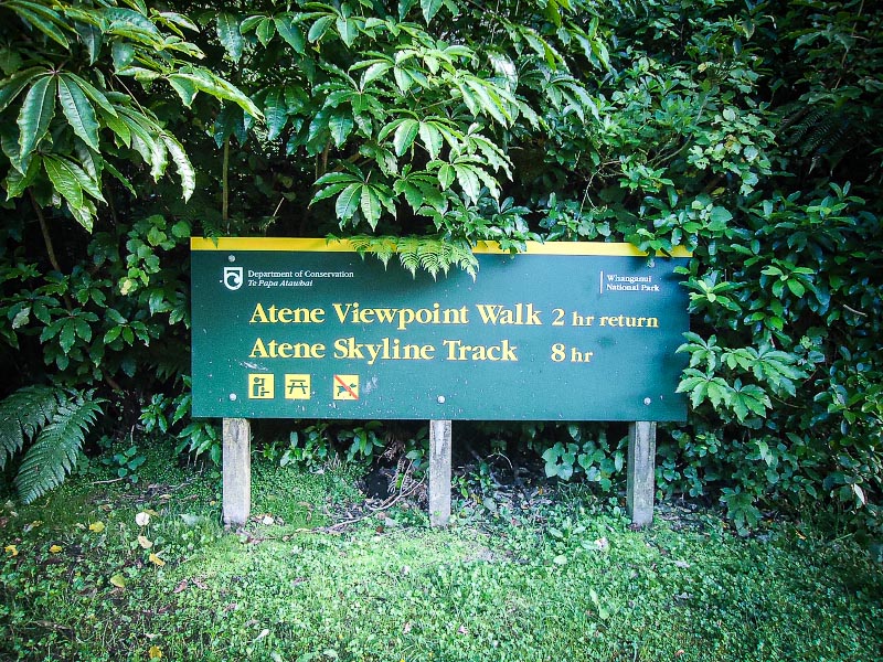
We parked at the up-river end of the loop track where there is a carpark on the roadside. The DOC sign with walking times is hard to miss. (There is minimal parking at the other end of the track, a little less than 2 km down the road.) Starting at the up-river end means walking in a clockwise direction.
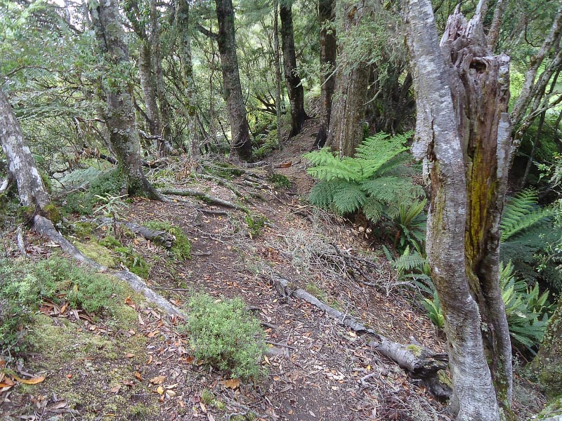
The track starts in a lowland forest which resembles a reserve. It is cool and damp, but sections of boardwalk keep footwear dry. Within minutes the fairly steep climb begins. With fresh legs it is a good climb and fast walkers and trail runners will be at the Atene lookout (260 m) in no time (20-30 minutes).
One of the better long-drops I have seen is less than 10 minutes before the lookout. There’s room for camping here but I do not recall seeing a water source (not that I looked for one).
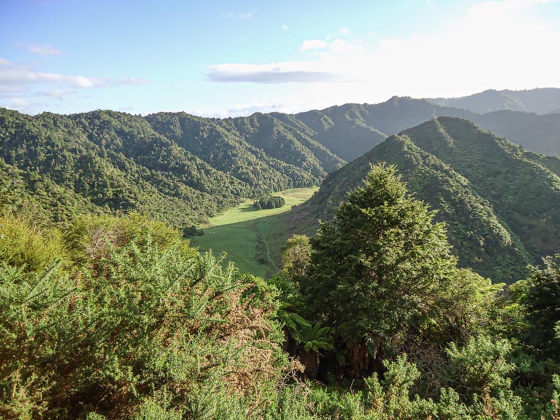
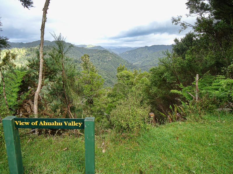
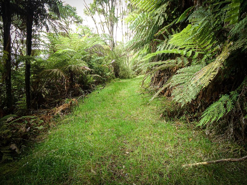
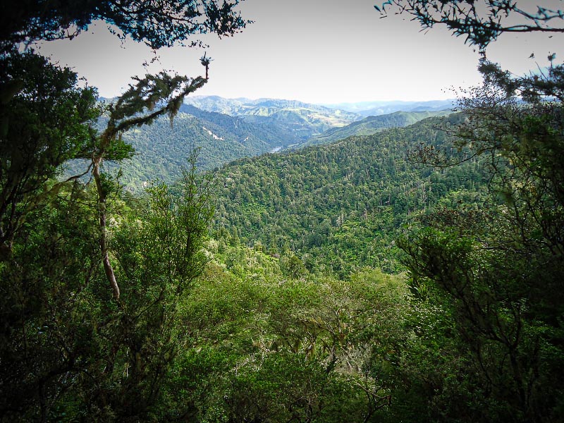
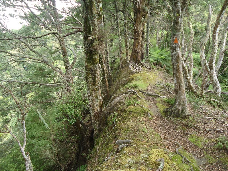
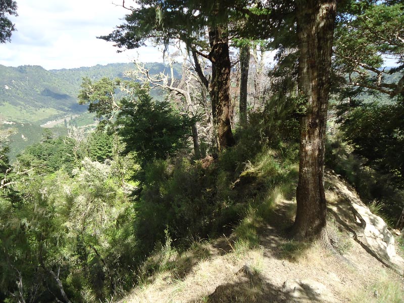
From the lookout, the track follows an old road track along the ridgeline. The track was dry the day of our visit and very grassy. This surface makes the next 3 kms good trail running ground and a great start to the loop as you make your way around the skyline with Puketapu on your right. Glimpses off to your left provide views to the West and North including up the Ahuahu Stream valley.
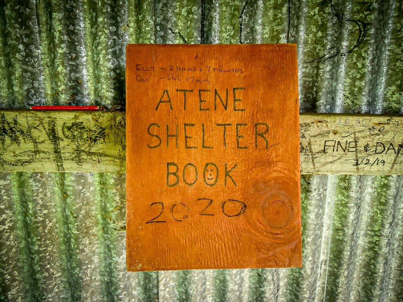
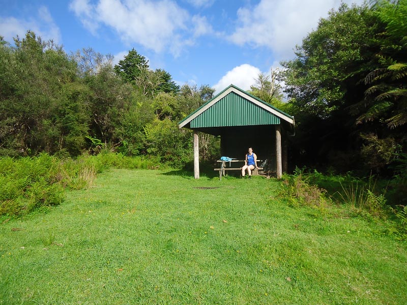
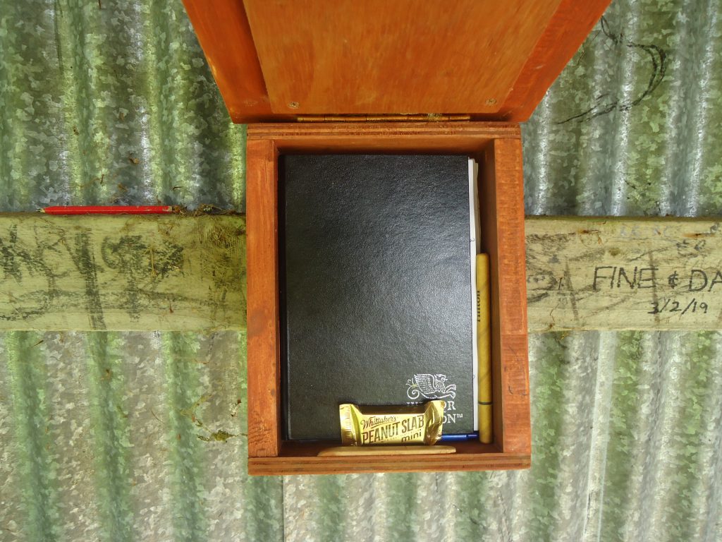
The Atene Shelter, providing a campsite with a toilet and water, is at the halfway point of the Skyline track (approx. 8 km). Written on the cover of the shelter book is reference to two running records for the track. Elly 2 hrs 7 minutes and Dan 2 hrs 17 minutes. Impressive times.
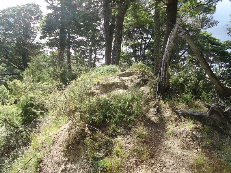
The highest point of the track – Taumata Trig (572 m) is 15-20 minutes after leaving the Atene Shelter. From Taumata Trig and the next high point (489 m) the track starts to get technical and winds around the edge of sandstone bluffs.
What goes up must come down. The track descends steeply for about 2 km back down to the Whanganui River Road and continues to be technical. The track exits the bush into farmland. A stile takes track users out of the paddocks and onto the road. Enjoying the use of different muscles now, stride or jog along the road back to the start and the carpark for just under a final 2 km.
Total distance: 15-16 km
Ascent/descent: being a loop both were around 1,050 m
Estimated times:
Day walk (easy medium pace) with several breaks 7-8 hours
Fast walk (fit pace) with a few short breaks 4 hours
Trail running (fit pace with technical experience) 3-3½ hours
Google search on Atene skyline track for DOC information and guidance.
