Armed with maps, compasses and lollies, we headed into the hills from the carpark at Kiriwhakapapa (Ethnicity; lit. genealogical skin) with the trip leader, Amanda, to show us what’s what. After following the Old Tram Track up to the first saddle, we settled down to our first lesson in navigation. Instructions were laid down for an easy-to-follow ‘3 step’ process –
STEP 01 – Confirm where you are and where you want to go, then align the length of the compass in that direction (ignore the magnetic arrow wiggling about for now);
STEP 02 – Turn the little wheel so that the little lines on the bottom line up with the little lines on the map, then throw the map away (well … maybe hang onto it … just in case); and,
STEP 03 – Adjust your magnetic bearing to a true bearing following the declination scribbled somewhere on your map, then start walking!
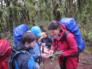
Now there is of course a little more to it than that, but under Amanda’s careful guidance we dived off the track to the top of The Garden (Te Mara peak … not a single vegetable growing up there – disappointing), each taking it in turns to lead the charge. We talked about other tricks, like finding landmarks to follow, checking to see how high we were every so often, how long it took us to cover so much ground, and that navigating up can be easier than navigating down. We came across other signs of former human presence, and were warned not to be too easily distracted from our bearing despite a potentially easier path. We also discovered that while the maps generally have accurate contours, the tracks can be drawn in the wrong place, so it’s always good to double-check!
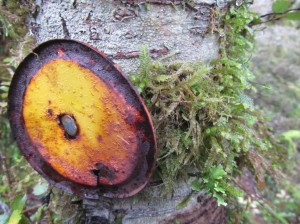
The walk to Cow Saddle via Te Mara, off-track or on-track, is beautifully wooded, ferny and exceptionally mossy, with occasional breaks in the canopy that could afford great views. Unfortunately, our walk was inclement, but we did find out how lovely the inside of a cloud can be.
Egged on by our successful conquering of Te Mara, we developed a thirst for more. We re-joined the track leading towards Cow Saddle, and then turned off for further forest exploration, with new leaders from our group in place.
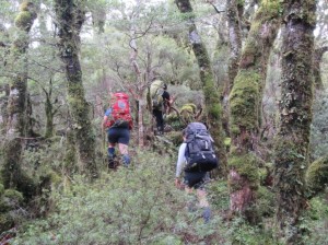
Before too long, things were getting pretty intrepid, and the day was drawing to a close. We re-assessed where we were, where we were headed, double-checked our bearings and – wallop – the bridge to Cow Creek Hut appeared ahead of us. Great success!
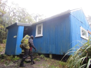
We settled in to our cosy accommodation which had been pre-heated by a friendly Czech man, and before we tucked into bed we had a further opportunity to test our new skills at night.
The next day we headed back over Blue Range to where we had begun, dropped in on Blue Range Hut and discussed what we had learned.
We all gained heaps from this trip: new skills to venture off-track with confidence, a good refresher course for those who were already comfortable with maps, and a chance to hang out with some great people in a beautiful local place.

The key things I was reminded of included how important it is for everyone to have some knowledge of reading a map and compass, even if you don’t intend to go off track (sometimes you might have to); how much more you pay attention to your surroundings when you’re navigating; and, along with your personal map and compass, don’t forget your own whistle!
Thanks to all who went for a lovely weekend, and to our fearless leader, Amanda!
