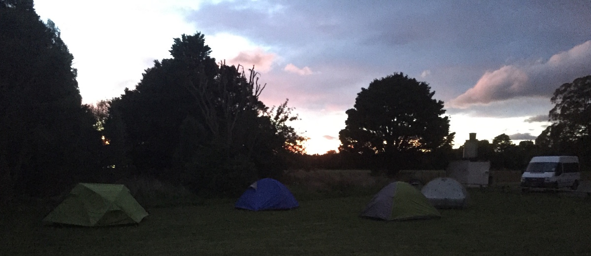
Our epic journey started quite calmly at the railway station on Friday night. In a full club van we drove 3 hours up to Noreswood, stopping for an evening meal at the Istanbul in Caterton. The ANZAC Park campsite just north of Norsewood is a basic but pretty campsite (toilet but no water available).
Next morning, we drove for another hour up to Moorcock Saddle on Kashmir Road and started the tramp in nice sunny conditions. It’s only an hours walk up to Longview hut, which, true to it’s name, indeed gives a beautiful view over the edge of the Ruahines.
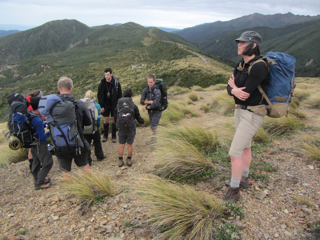
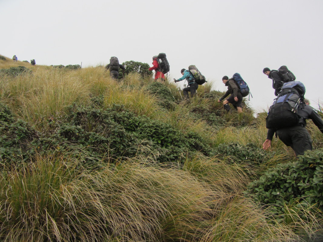
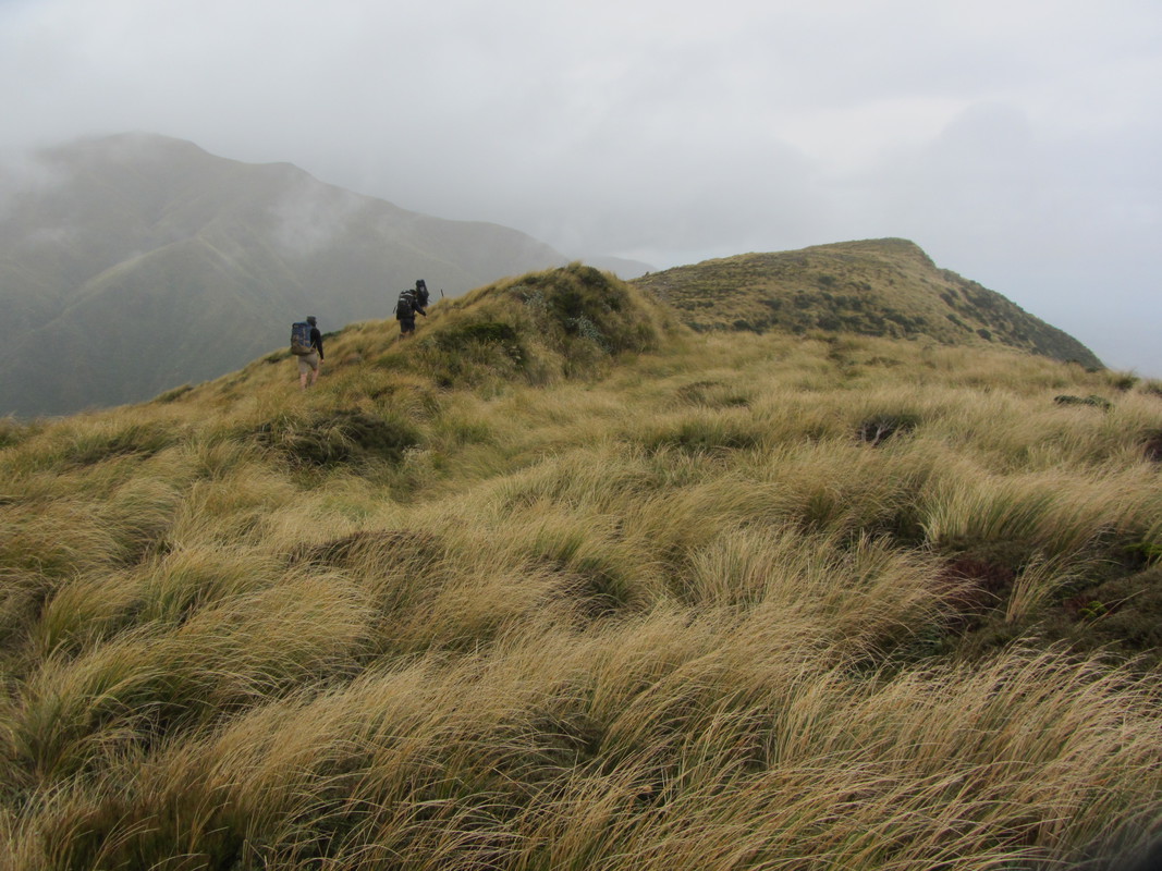
The weather was good and we decided to continue over the ridge line towards Howletts hut. This is graded as a route, rather than a track. Although it’s easy to navigate over the ridge line, there is often no real path and you have to look out for the next pole. Due to the rain on the previous days, the route was quite muddy and had lots of holes that were expertly hidden by the low vegetation of tussock grass and leatherwood. We occasionally lost the shortest members of our party here, but every time this happened we could still spot a tuft of hair sticking out of a hole or could locate the place they disappeared into by their screams and giggles.
After 4 hours on the ridge we arrived at Howletts hut. The rain had now started to come in on us.
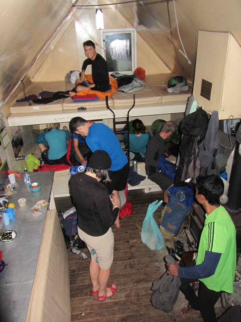
Howletts hut is a cute little hut at the edge of the bushline. Although advertised as an eight bunk hut, it slept our party of eleven on mattresses, though floor space was tight. With that number of people, cooking bench space would have been difficult if there was more than one group in the hut.
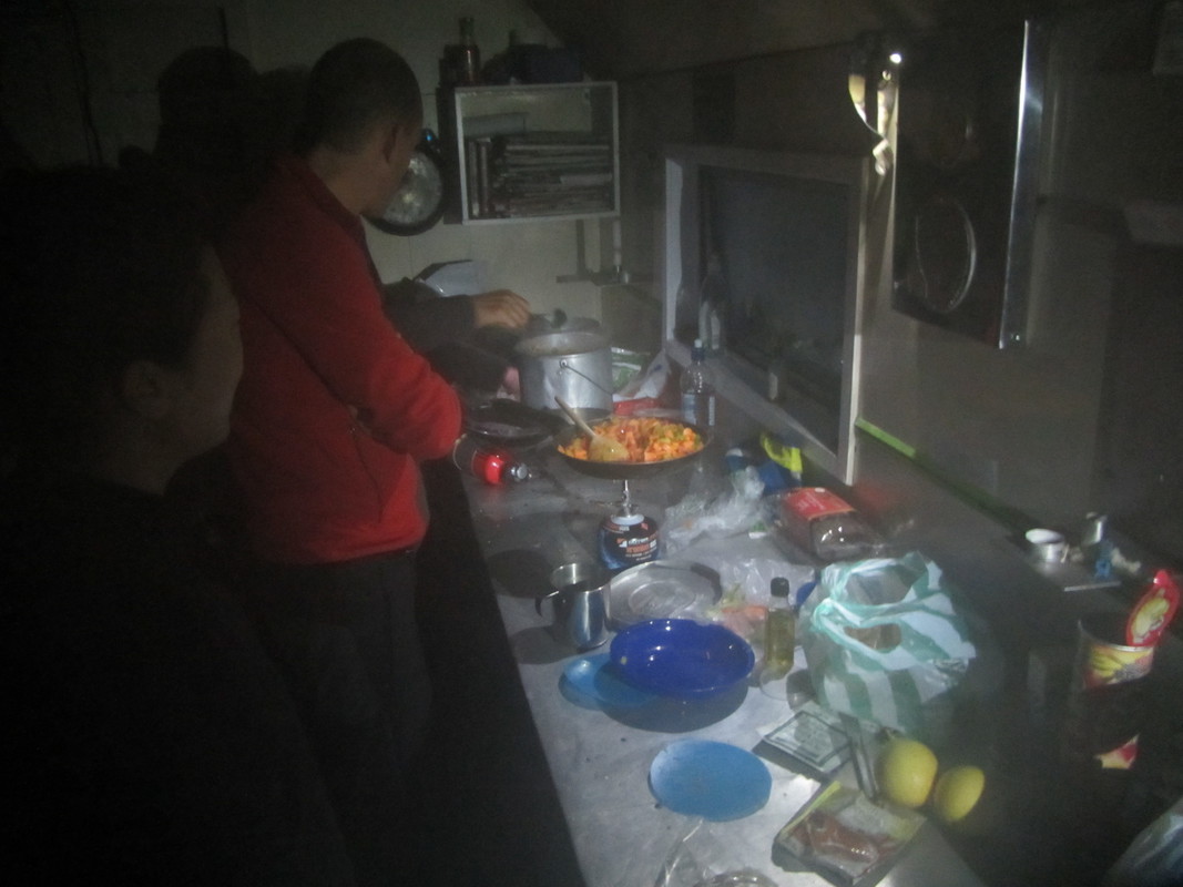
Rodrigo and Jim started a fire, but all the fire starting material was fairly damp. This fire lasted for a solid 10 minutes. Then Fons and Martin started the fire. We prepared some nice pasta pesto while Richard spent another half hour keeping the non-existent fire alive.
Just before dinner, Juliette and Bart started the fire.
Dinner was good. Then Fons and Sumudu started the fire.
We washed the dishes in front of the hut with a pretty view of far away Napier by night. Meanwhile, Amanda started the fire (this one lasted, kudos to Amanda).
Overnight, the rain came in hard. Our original intention for the Sunday was to walk down to Daphne Hut, follow the river through the gorge and then the track back to the trailhead. However, with concerns that river out from Daphne would be too high and involve some extra hours with a detour, we decided to go back the same way as we came along the ridge.
At 8 in the morning, we were fully geared up in every imaginable piece of rain gear.
At 9 in the morning we were all wet to the bone, with big smiles.
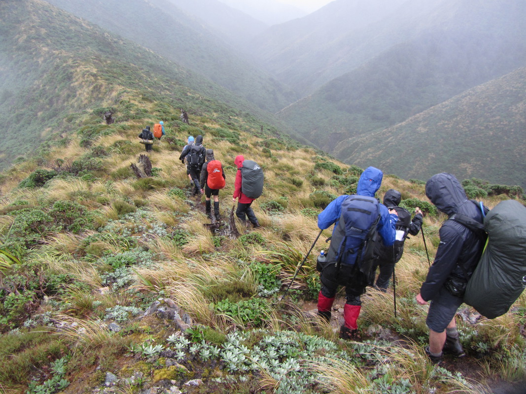
Over the next few hours, the wetness remained and the smiles slowly faded away to make space for some shivering faces. Rest stops were minimal, and only for getting extra clothing layers on. Halfway, Amanda decided to shock us all by performing a stylish slip and roll over the side of the ridge and landing in a leatherwood gorge 6 meters below. However she climbed up smiling without a scratch.
Just as we were getting really cold, the clouds suddenly opened to reveal blue sky and a bright rainbow. The wind decided to double down on us and in three big jumps, with the wind in our backs, we found ourselves suddenly back at Longview Hut. Our ever caring trip leader Richard made us all a cup of tea, we warmed up and descended down to the van.
On the way back, we dropped into Norsewood and paid our campsite fees at the Supperette ($2 each). At about 4:45pm in Woodville we found Yummy Mummy’s Cheesecake cafe still open (until 5pm on Sunday) which provided a nice refreshment break on our drive back to Wellington.
Trip Statistics
Saturday
Start Morcock Saddle Car Park: 0850hrs
Longview Hut:1045hrs
Lunch: 1210-1235hrs
Arrive Howletts Hut: 1600hrs
Distance covered 12km
Height climbed: 1500m
Height descended: 800m
Average speed: 1.7km/h
Sunday
Depart Howletts Hut: 0800hrs
Longview Hut Lunch: 1225-1325hrs
Arrive Morcock Saddle: 1450 hrs
Distance covered 12km
Height climbed: 800m
Height descended: 1500m
Average speed: 1.7km/h

