Mt Tongariro and the ancient molten lava lake at North Crater
A 2 day hiking loop trip over Mt Tongariro and past the once molten lava lake that occupied the North Crater before cooling and solidifying.
When the warrior gods Tongariro and Taranaki fought over the lovely Pihanga flames lit up the sky, thunder boomed and the ground shook until Taranaki was defeated, and severely wounded he beat his retreat far away to where he stands alone and forlorn today.
Tongariro was then content to remain close and mostly peacefully with his love Pihanga—until 2012 when he erupted in a fit of rage sending clouds of smoke and steam into the air—and hurled a large boulder a distance of nearly 2 km neatly through the roof of Ketetahi Hut (fortunately no-one was inside).
Since then he has calmed down again but small plumes of steam still rise from the Upper Te Mari crater, and DOC has signed the area noting that further eruptions could occur without warning at any time. But with perfect summer weather and a couple of days to spare at the WTMC Ruapehu Lodge why not make a two-day trip to visit the old warrior to see how he was getting on?
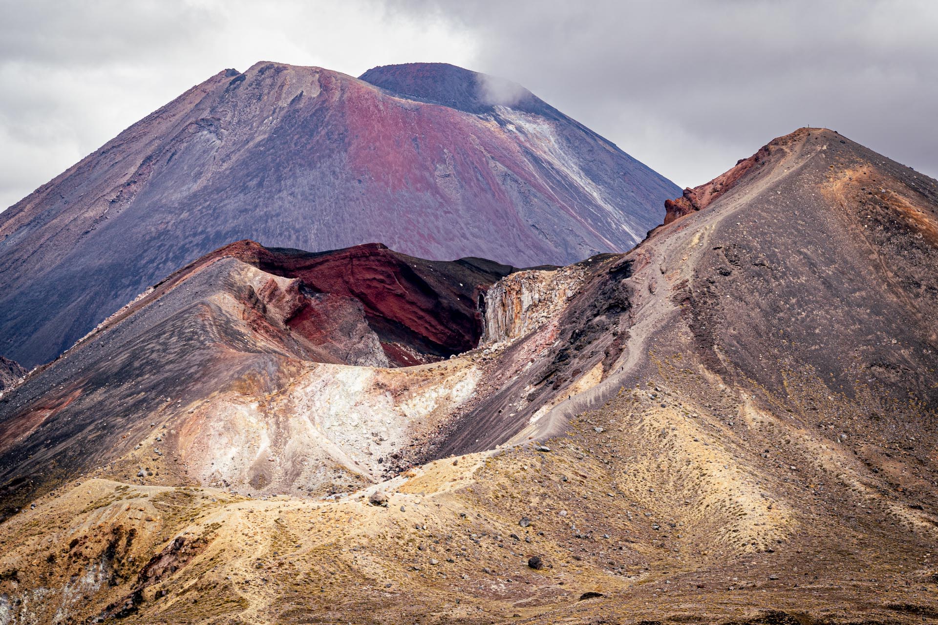
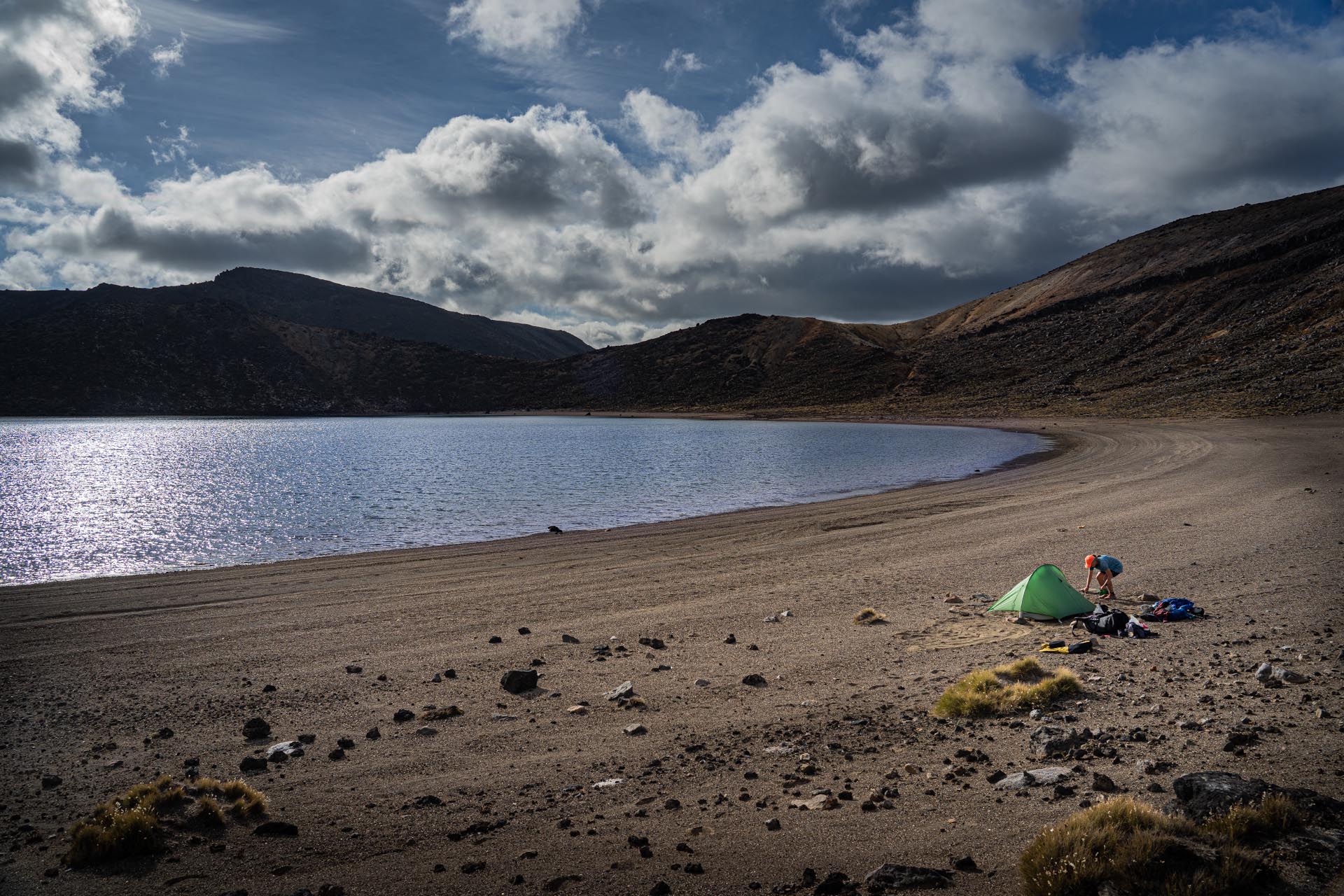
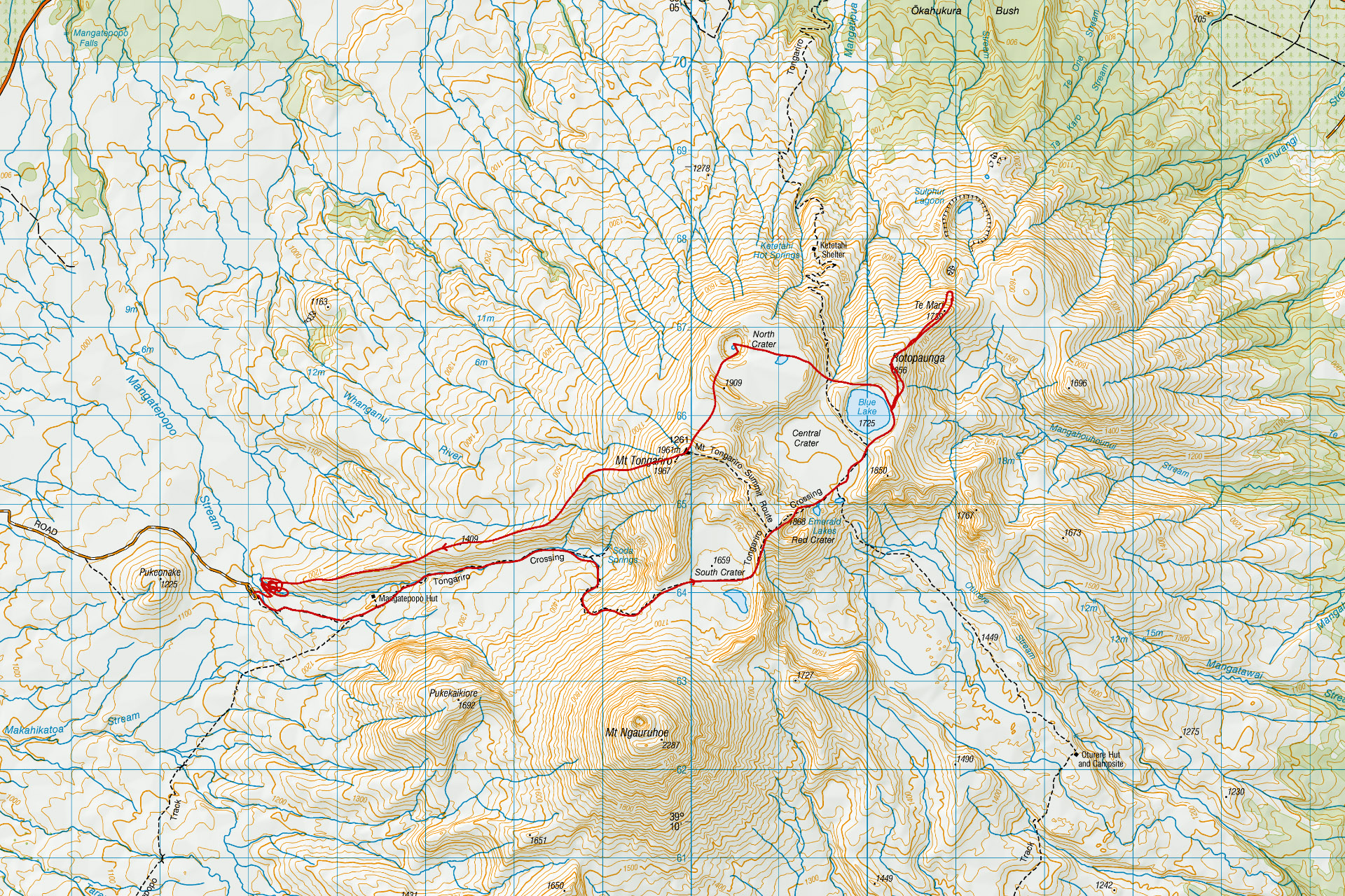
We started mid-morning from the Mangatepopo carpark and wandered up the valley, across the South Crater (actually not a crater but formed by an ice-age glacier), over Red Crater to the far shore of Blue Lake. We pitched our tent here and left most of our gear before climbing over Rotopaunga to the summit of Te Mari.
We were now directly above the explosion vents of the 2012 eruption. It was a rather terrifying sight—an apparently bottomless crater surrounded by large cracks opened in the ground by the volcanic explosions still emitting clouds of steam. We felt that if it was the end of the world this is what it would look like.
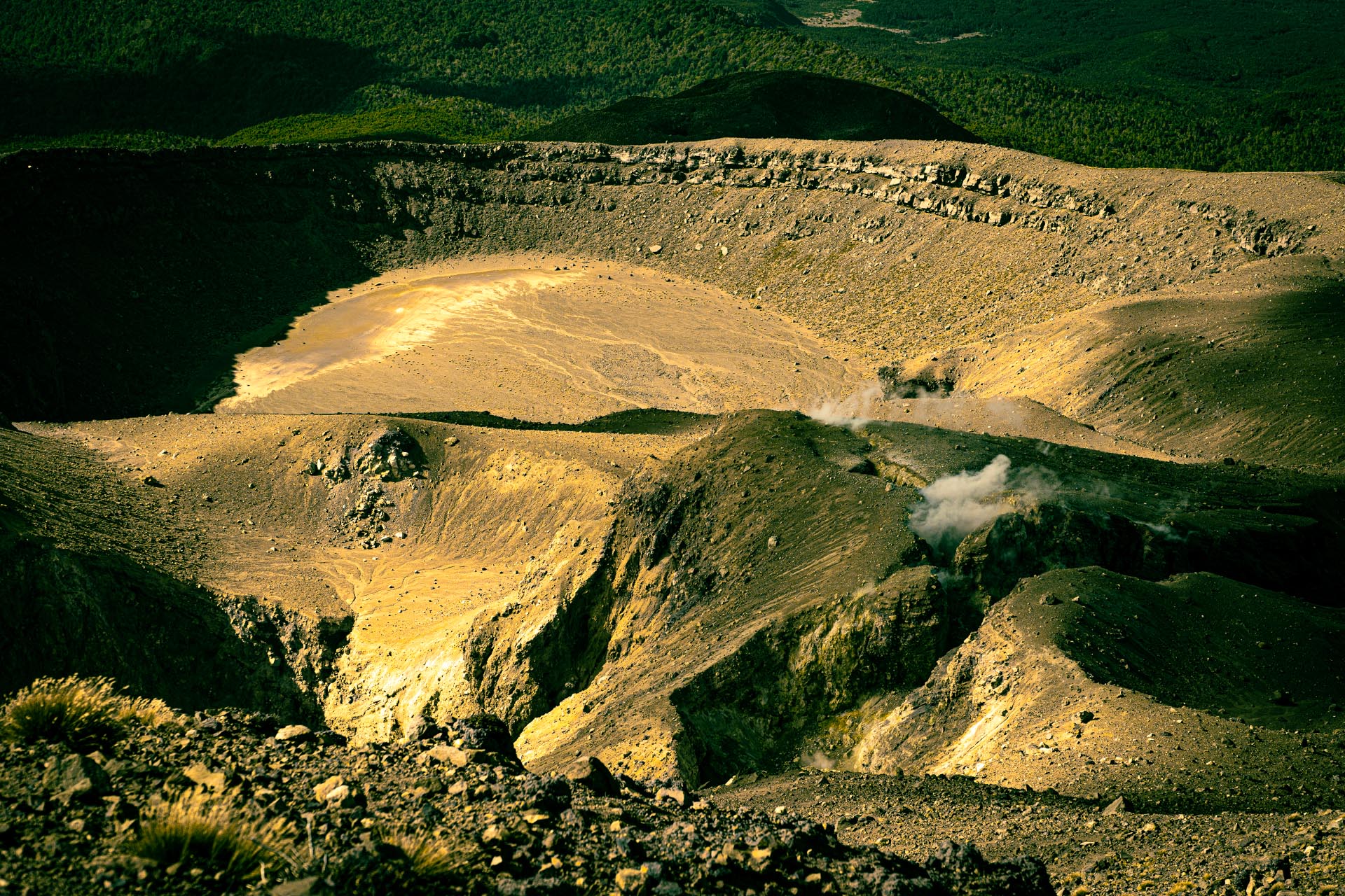
We stayed for quite some time drawn by the clearly destructive forces of the eruption while fully aware this was small fry compared to other historic explosions in the area—particularly the Taupo eruption of 1,800 years ago. This blasted the huge caldera now occupied by Lake Taupo and sent ash high enough into the atmosphere to be recorded by ancient astronomers in China.
We took a final photo and made our way back to our camp just in time for a spectacular sunset.
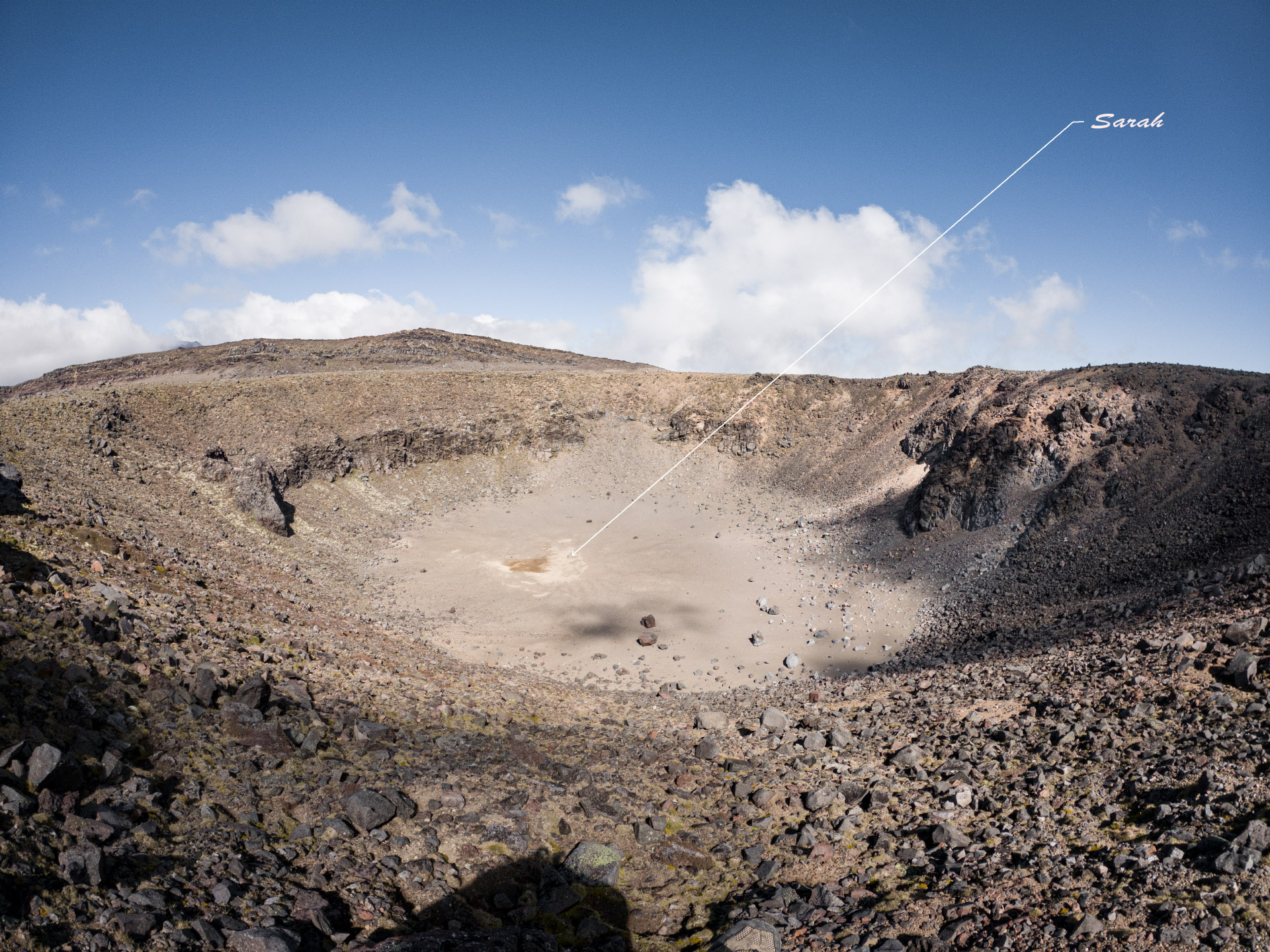
Next morning we left late again and headed over the North Crater. This plateau seems amazingly perfectly flat and level but because it was once a molten lava lake that has now cooled and solidified at the level of the crater rim it’s not surprising. Sarah, feeling sprightly as usual, climbed down into the explosion crater formed in the plateau about 1,500 years ago. From the crater rim she appeared almost insignificant in the landscape—a tiny human in a vast volcanic wilderness.
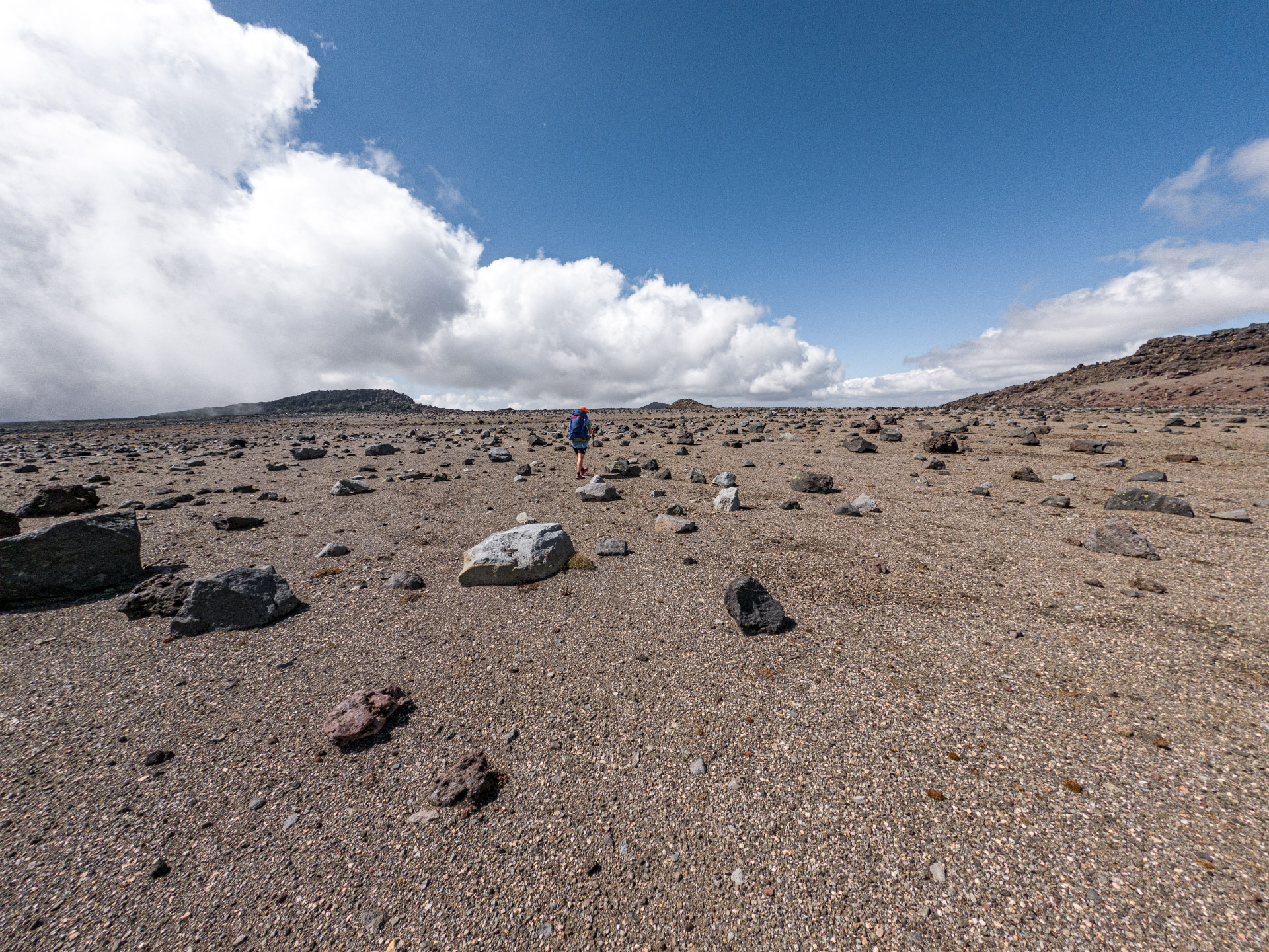
Then we climbed onto the shoulders of Tongariro in time for a long stop—to have a chat with the warrior himself, eat some lunch, for Sarah to escape from marauding bumble bees that seem attracted to her, and for us to admire the view across to the 1954 lava flows on Mt Ngāuruhoe where we had been forced to admit defeat on a previous trip.
The ridge along the northern side of the Mangatepopo Valley looked the obvious way home. The last time along here some years ago had been easy enough—the first stream just before the carpark crossed without any trouble even carrying skis, the second was more difficult but had a rope to clamber down.
But this time either the bush had grown denser, or we totally mucked up our route choice. We found ourselves less then 100 m from the carpark with no way forward—or easy way back. Sarah texted her friend to let them know we were effectively stuck, and would take some time to sort ourselves out and get to the car.
We took over an hour to cover those last 100 m and made it out feeling rather battered. Sarah checked her phone to find she had accidently sent the message to her boss who had replied, ‘That’s all very interesting—but slightly concerning.’
Sums up the trip actually.
