Ten of us met at the usual spot next to platform 9 at Wellington Train Station at 4pm on Friday 19th July. One by one, smiling faces emerged from the station building with purposeful strides, happy to have left work for the week and be heading off tramping (apart from Daniel, whose work ethic knows no bounds!). We picked up our 11th tramper, Megan, on the way and had a dinner stop in Masterton.
As we got nearer to Ruahine Forest Park, we passed 2 ‘road closed’ signs on Wakarara Road. A couple of kms further down the road, we learnt that the road was impassable due to damage to Fletchers Crossing Bridge, caused by Cyclone Gabrielle. There was a suitable alternative route recommended on the DOC website and Megan did a great job driving in the challenging conditions. As we approached North Block Road End, we came across a couple of gates which we opened to allow us to drive through the paddocks and park up at the trail head.
By the time we started walking it was around 10pm. We headed up through 1km of farmland to the bottom of the bush line and on to Triplex Hut, where we had bunks booked for the night. The Hut was constructed in 1973 and is named after a shirt labelled “XXX” that was found there. The shirt was the only sign found of pilot Hamish Armstrong, who went missing after crashing into the ranges above Sunrise Hut in 1935.
Triplex Hut has 12 bunks split across two rooms. So we divided up into our M and EM groups, as we’d be departing the hut at different times the following morning.
Daniel led the medium group, which departed at 7am the next day. Their intentions were to walk to Sparrowhawk Biv (via Sunrise Hut) and to return to Sunrise Hut for the night.
The easy-medium group set off at around 8 am, led by Megan, and intended to walk via Sunrise Track to Sunrise Hut (a 5.5km and 690m elevation walk), and then assess the weather, before potentially travelling to Top Maropea Hut via Armstrong Saddle. The weather was mild and drizzly.
For the easy-medium group, the climb was steady and the track was wide and well built. Megan set a good pace and after a couple of stops to de-layer, we reached the open tops and the Sunrise Hut in about 2 hours.
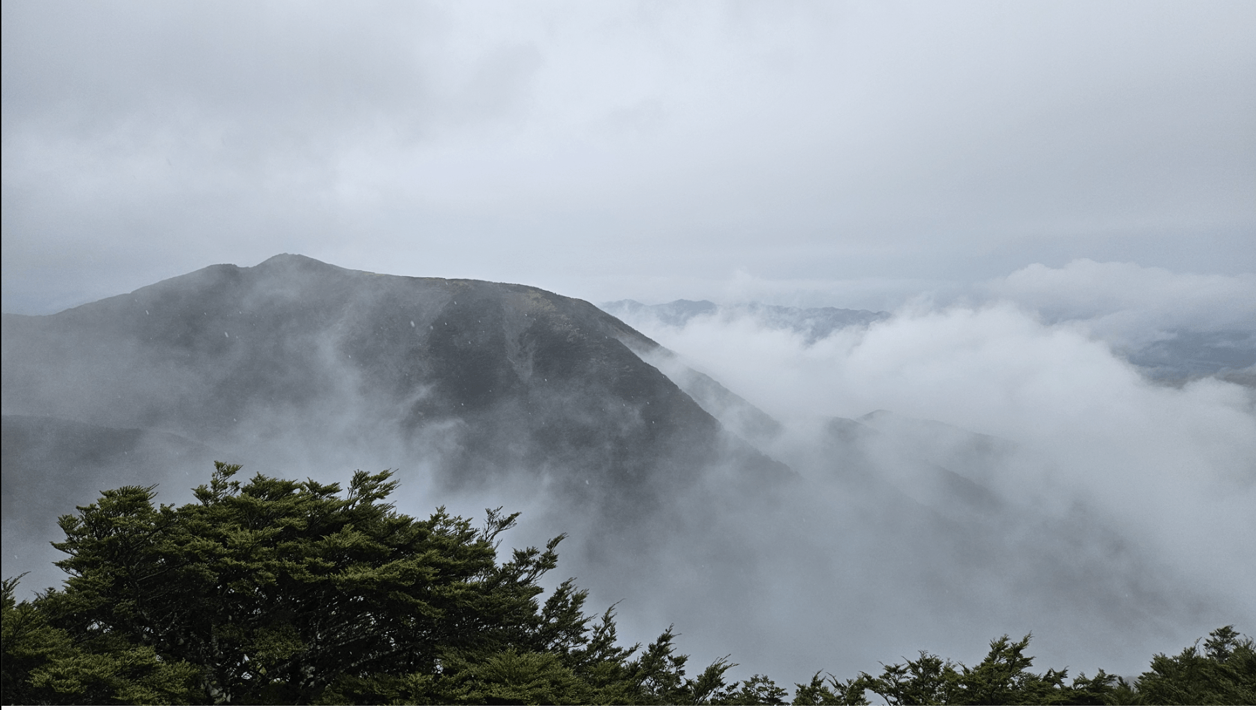
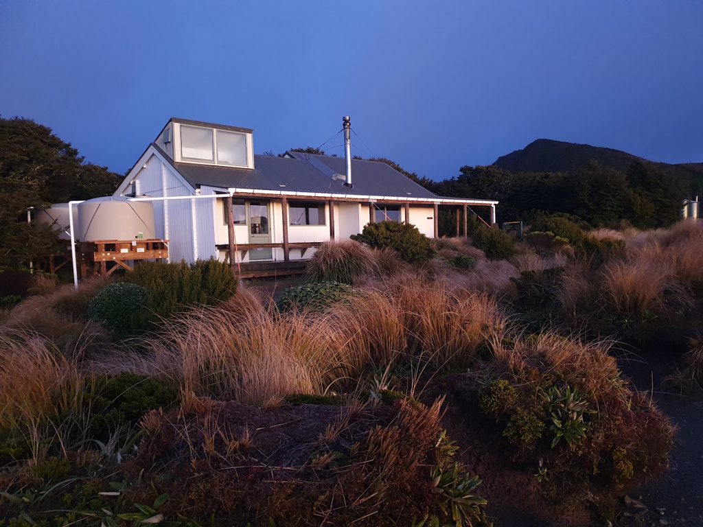
The visibility was poor, so unfortunately we had limited views. Sunrise Hut provided a comfortable place for drying off and enjoying the fire and a hot drink.
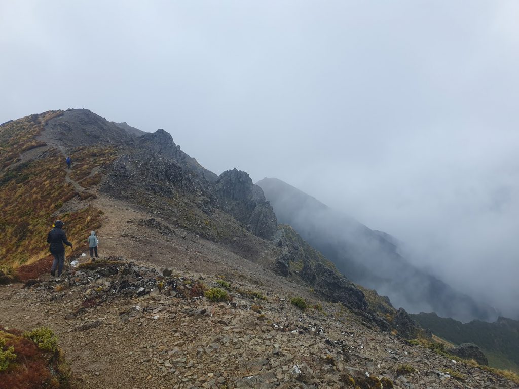
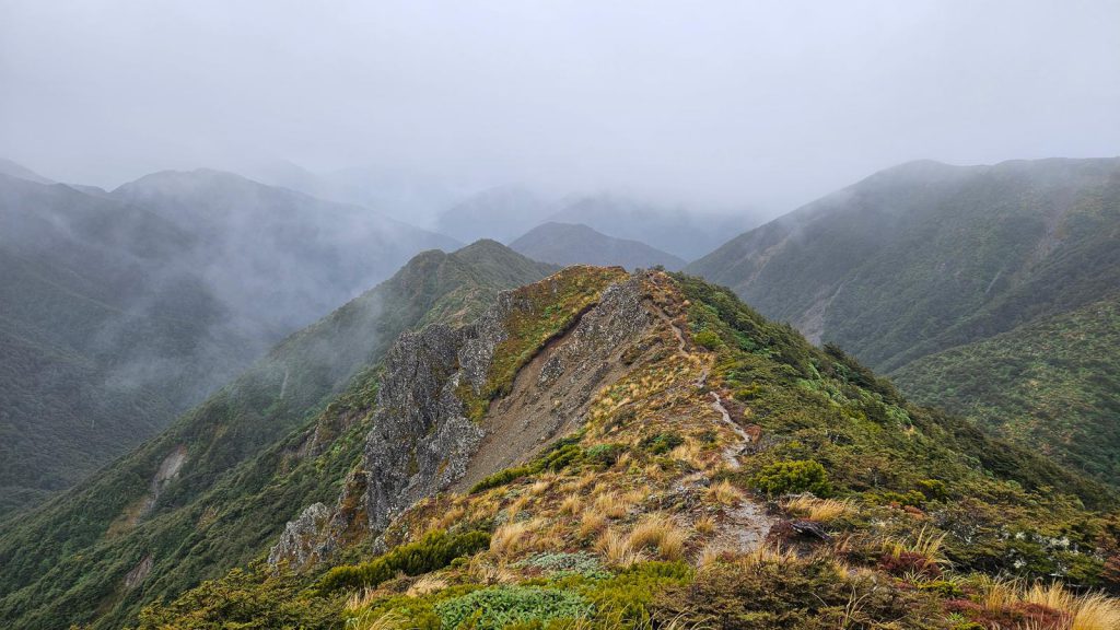
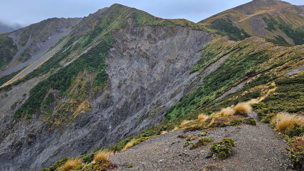
After an hour chatting by the fire, 4 of us, led by Megan, agreed that the weather was favourable enough for an out-and-back trip to Top Maropea Hut. This 4.9km, 2 hour side trip offered varied terrain and steep tracks. We traversed a ridge line, which had an incredible landslide to the south and east. The tussock had completely disappeared and the terrain was steep shingle with large sections of exposed bed rock.
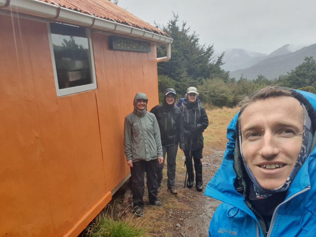
After descending through a short but steep track through dense bush, we reached Top Maropea Hut. After a couple of quick photos and a peek inside, we headed back to Sunrise Hut. En route back to Sunrise Hut, the visibility improved considerably, and we were rewarded with some incredible views.
Daniel’s medium grade group arrived back at Sunrise Hut at around 4.30pm, after making it to Sparrowhawk Biv. They were glad to arrive to a warm, dry hut after a long day in soggy conditions. We all caught up around the fire and compared more food notes – this time on various dehydrated meal choices.
Given the poor visibility throughout the day, we didn’t have high hopes for a clear sunrise in the morning. Alarms were set for 7 am, in the hope of seeing sunrise at 7.26 am.
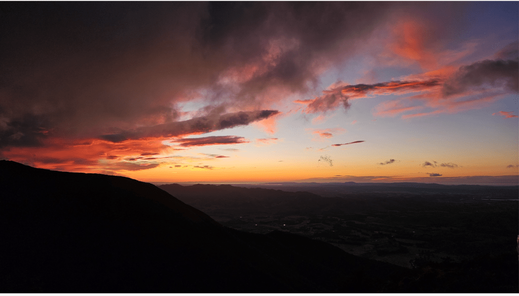
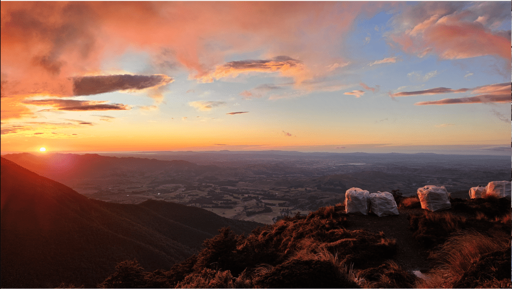
At around 7 am, a few people were stirring, and the deep orange and red hues coming from the horizon over Napier were striking. People gathered in front of the hut and were treated to a remarkable sunrise.
After breakfast and coffee, we assembled as one group, donned our packs and set off down Sunrise Track. We stopped at a fork in the track – with the option of doing the Swamp Track loop. A show of hands confirmed people were keen. This route – from Sunrise Hut back to the club’s van via Swamp Track, was a distance of about 8km and took 1 hr 45 mins.

