Tapuae-o-Uenuku – a late summer climb
An Easter climb of Tapuae-o-Uenuku (Tappy) via the Hodder River in fine weather
Our trip started on Easter Friday morning when we left our road-side camp next to the Hodder River bridge. From here we took the 4wd track from Gladstone Downs upriver to the south. After about 20 minutes we passed an old red container and a small overgrown single track tapered off to the left of the main track. This shortcut saved us a long boring climb. About 20 min further along it ended at a gate and re-joined the main track. Add another 10 minutes and we found the cairn on the left of the track indicating the narrow trail heading down to the Hodder River. Here our journey really started. Unfortunately, this was also the moment we said goodbye to one of the group who decided the long path ahead wasn’t for her that day.
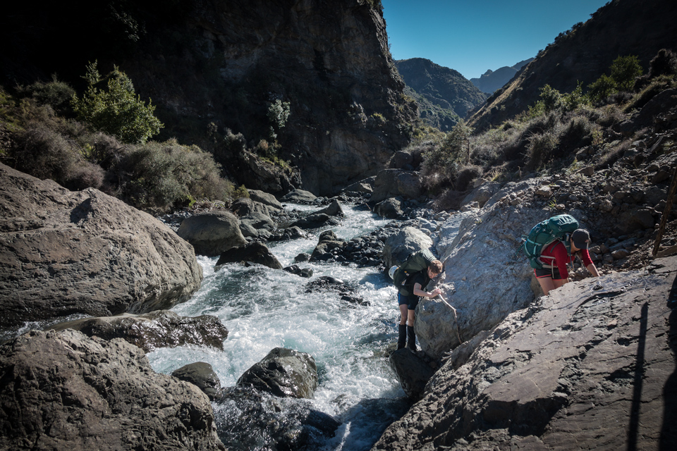
We followed the Hodder River for the rest of the day. This meandered seemingly forever and we progressed from one gorge to the next. Although all of us lost count, we crossed the river at least 80 times. The flow was quite fast, but crossings were never more than knee deep. After 4 hours of awesomeness and cold wet feet, a blue arrow sent us up hill to the left. This bit of semi-marked track went up and then soon enough back down again to the river bank. We crossed here for a final time that day and on the other side we found a campsite that comfortably fitted our seven tents.
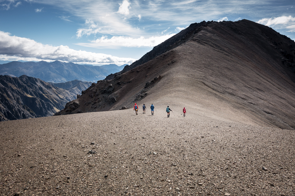
The weather forecast for Saturday indicated 90 km/h winds at the top of Tappy. We decided that this wouldn’t be our day to summit. Instead, we had a bit of a sleep in and left camp at 8.20 am and planned an attempt to climb Mt. Gladstone, a lower peak, and a feat none of us had yet done. From our camp site it was only a 45-minute walk to the huts. From here we followed the track and sidled along a scree field up to the main fork in the river. The track to Tappy goes southeast up Staircase Stream from there, but we followed the main river for another 500 metres and then turned west towards the saddle at 515525. Climbing up to 1,900 metres was easy enough although we had a significant head wind. Then when we reached the saddle the day’s objective came into full view for the first time. Mount Gladstone was just an enormous heap of rock and appeared steep from every angle. It gave us all a pause, ‘do we have to climb that’? Yep, seemed like it. ‘Hmmm …’
The most reasonable approach appeared to be on the southeast face of the mountain and then up a very long and steep rock slide. It was midday by that time and it would have taken us at least 7 hours to get there and return to our camp. We didn’t have that much daylight left, the forecast wasn’t good, and as well the wind was roaring across the ridge. Tony decided Gladstone wasn’t for us today and we were all too eager to retreat. As an alternative some of us tried to claim for the WTMC the unnamed high point 2,058 northeast of the saddle. However, we turned around just 8 vertical metres below the top. The wind had really picked up by this time and the final narrow bit of ridge wouldn’t have been the best idea in these conditions.
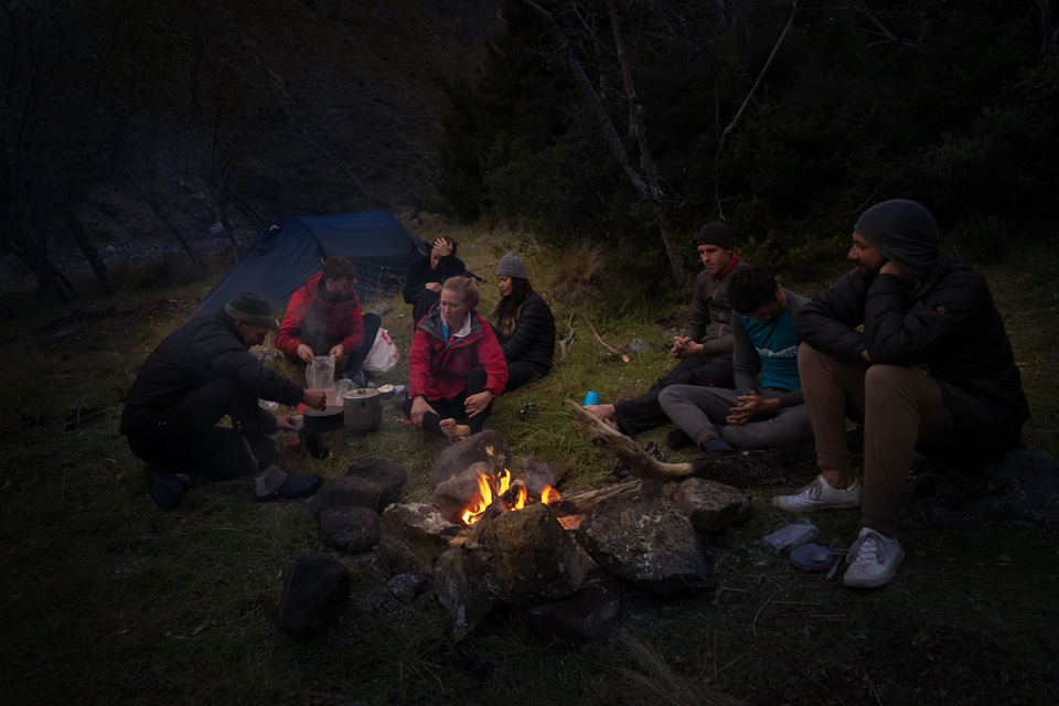
We retreated to our campsite, made a nice camp fire and had a good dinner. With no summits to brag about all we could do was to go to bed early and dream about what was ahead of us.
Sunday morning, 5 am (or 6 am maybe), we came to realise that old-school trip leaders don’t care about novel fads like Daylight Saving. Unlucky for Tony the rest of the group had their phones automatically synced to the developed world. While we all enjoyed an extra hour of sleep, our dear trip leader stood all alone in the pitch dark with his 8-pint billy of hot water. With increasingly desperate cries to try and sell his hot water he finally managed to wake the whole group and we more or less left at 5:30 am as planned. However, we called out double times the rest of the day!
We set off in the dark. By the time we reached the huts there was a beautiful sunrise and we could put our head torches back in our packs. Past the hut we again followed the track sidling the scree field.
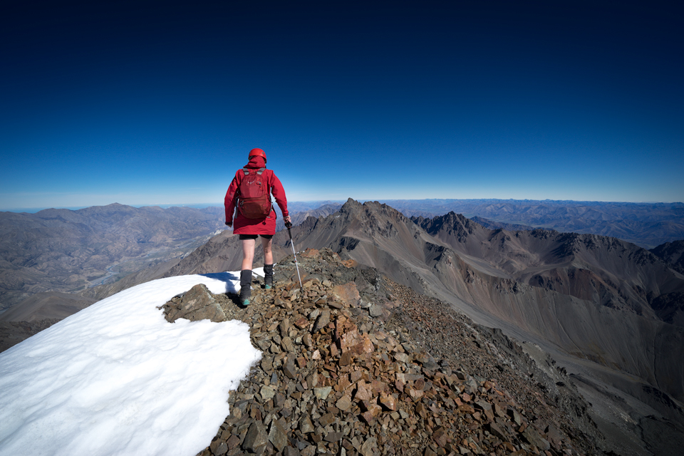
This time we did cross the river and started to ascend along Staircase Stream. We crossed various icy and slippery side creeks. We even came across a partially frozen waterfall. This was a good reminder of how exposed the terrain was and how awesome it was that we were tramping there. We moved further uphill as the track slowly disappeared and only the occasional cairn showed the way. The scree fields morphed into steep rock slopes until we reached the main saddle at 545502 around 11 am (12 Tony’s time). From there we continued for a short climb over blackened rock and fearfully gazed down the steep icy slopes of Tappy’s south face that was only a footstep away. We set foot on the summit at 11:30 am (12:30 for our trip leader). Suddenly the world was at our feet. The Southern Ocean on one side and the top half of the South Island on the other. On the horizon the Tararuas were just visible. The flat earthers amongst us even claimed to see Tasmania.
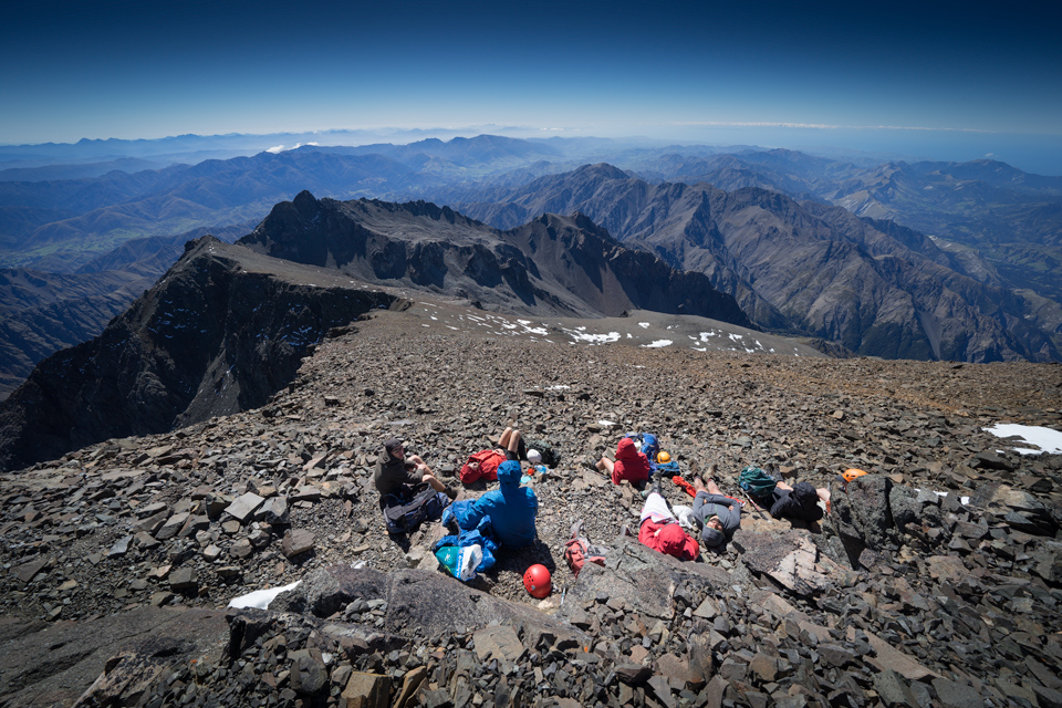
We stayed around the summit for an hour for some photos and even a quick nap in the sunshine, and then started the loooong way down along the same route over which we had come. Our hard hats gave us some comfort amid the many stones that tumbled down from under the feet of those above. We reached our camp just after 5 pm (or was it 6?). The camp fire was quickly set up and we had another really good meal.
Monday was easy. We slept in until 7 am (universally agreed New Zealand winter time now), packed up and took the first of the 80 river crossings just after 8 am in the morning. Five hours later we reunited with our lost group member at the van. It turned out that she had quite a backpacker’s adventure, sleeping in the van, drinking wine and meeting loads of new people.
Altogether this was an absolutely gorgeous trip that we can totally recommend.

