The Craigieburn and Torlesse Ranges – two quite nice FE (fairly easy) day walks
Two easy walks near Arthurs Pass – the first to the Broken River ski-field and Nervous Knob in the Craigieburn Range, the second to the iconic ‘Gap’ in the Torlesse Range.
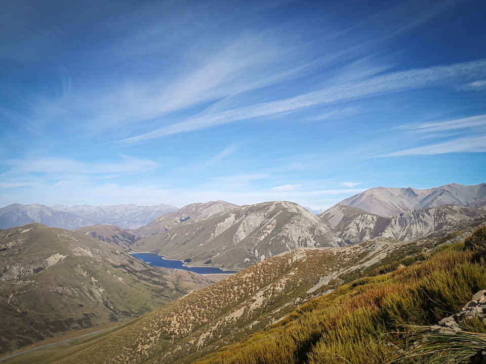
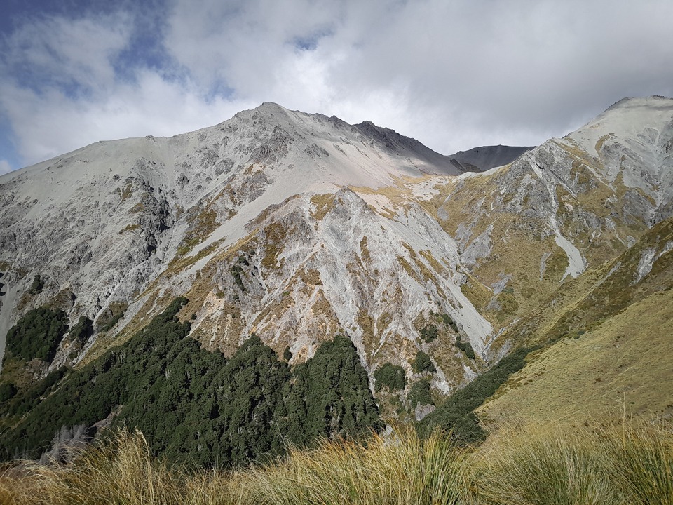
Craigieburn Range: Nervous Knob and Hamilton Peak
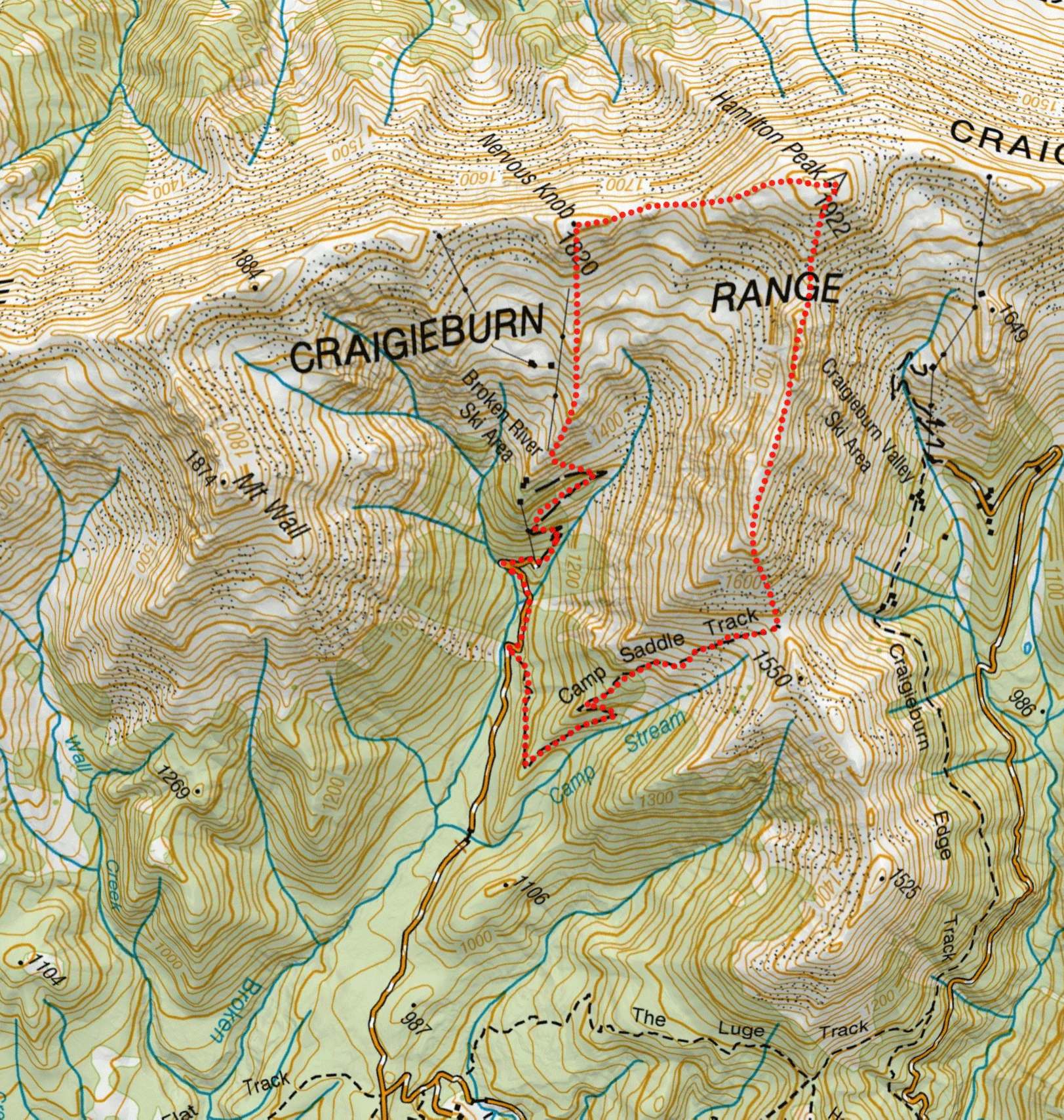
Drive up the Broken River skifield road to the gate where there is space to park.
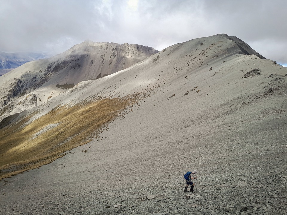
Walk up the road through the skifield and then climb through tussock and scree to reach the ridgeline and traverse along to Nervous Knob.
Then after climbing up to Hamilton Peak, follow the ridge southeast to the Camp Saddle Track.
It’s a fun scree run down to the track and then back to the road.
3½ hrs, 11.5km, 1,103m elevation.

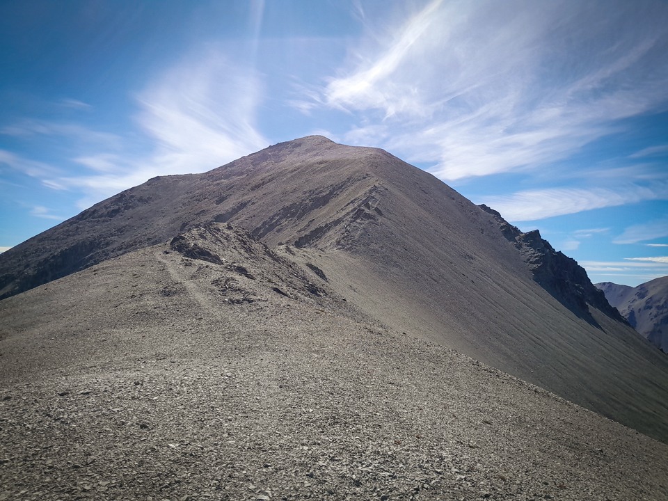
Torlesse Range: Foggy Peak, Castle Peak, and The Gap
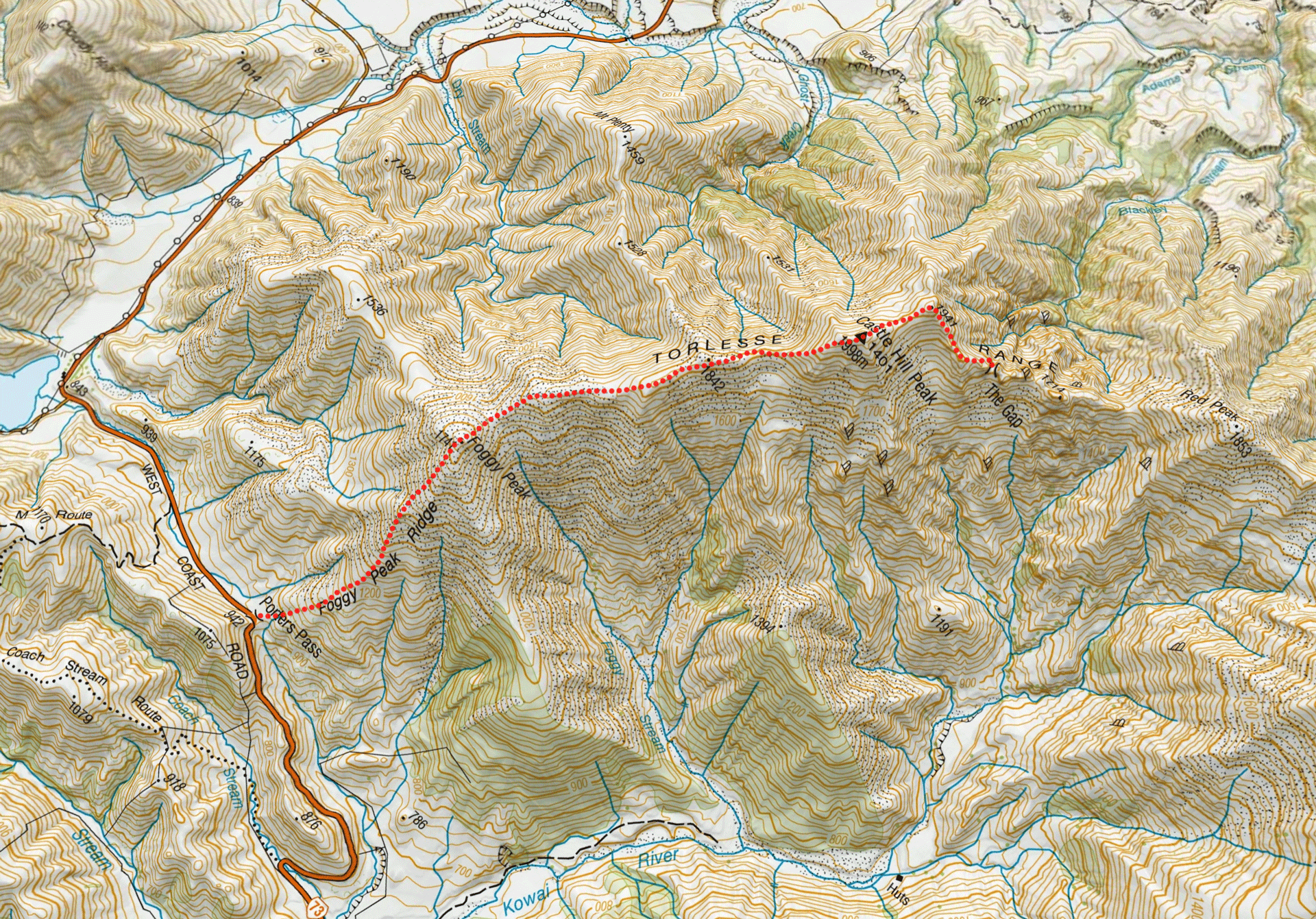
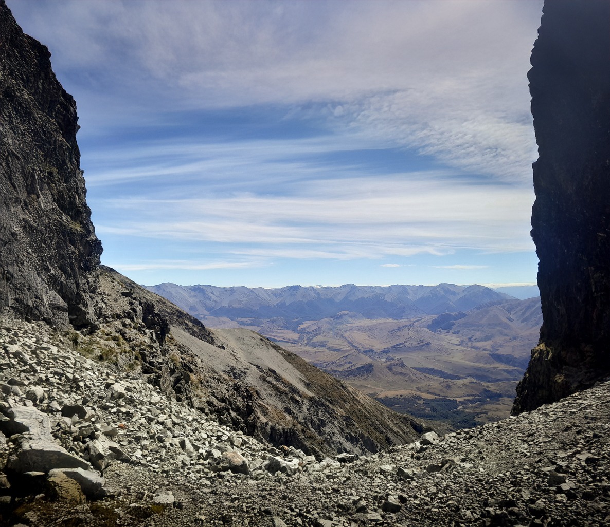
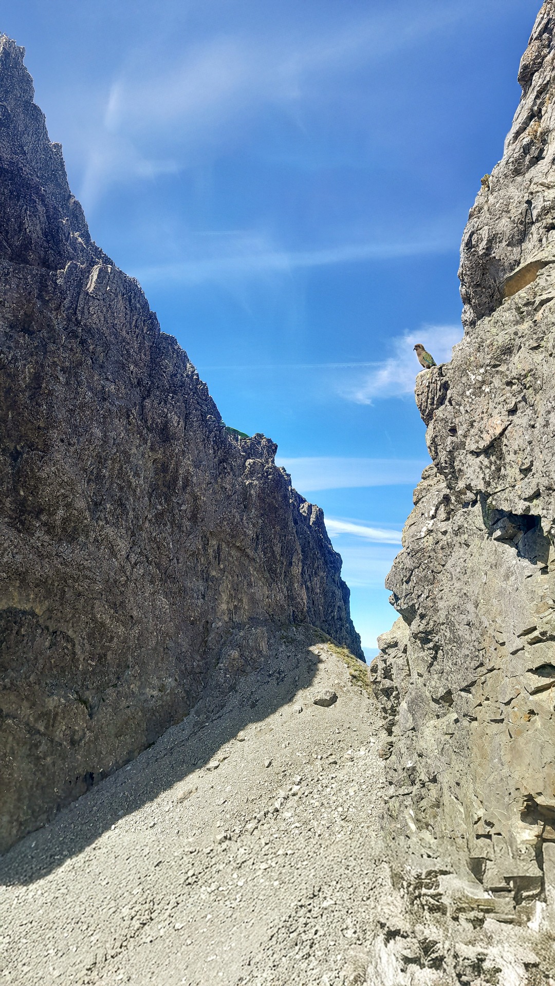
The distinct notch in a rugged section of ridge on the Torlesse Range known as The Gap is on many tramper’s bucket list.
Being visible from down on the plains, and from the Port Hills and Craigieburn, only adds to the allure.
The route up to Foggy Peak starts from lay-by at the top of Porters Pass.
There are a few marker poles and then cairns with a well-established foot trail leading up to Foggy Peak. There’s a small false summit where there is a brief break from the constant climbing.
After Foggy Peak a wide ridge leads over a few undulations before it narrows for the final steep climb to Castle Hill Peak. This is marked by cairns and has a good foot trail.
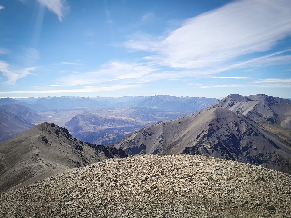
From Castle Hill Peak, the easiest way is to climb over pt 1941 although you can just sidle around this.
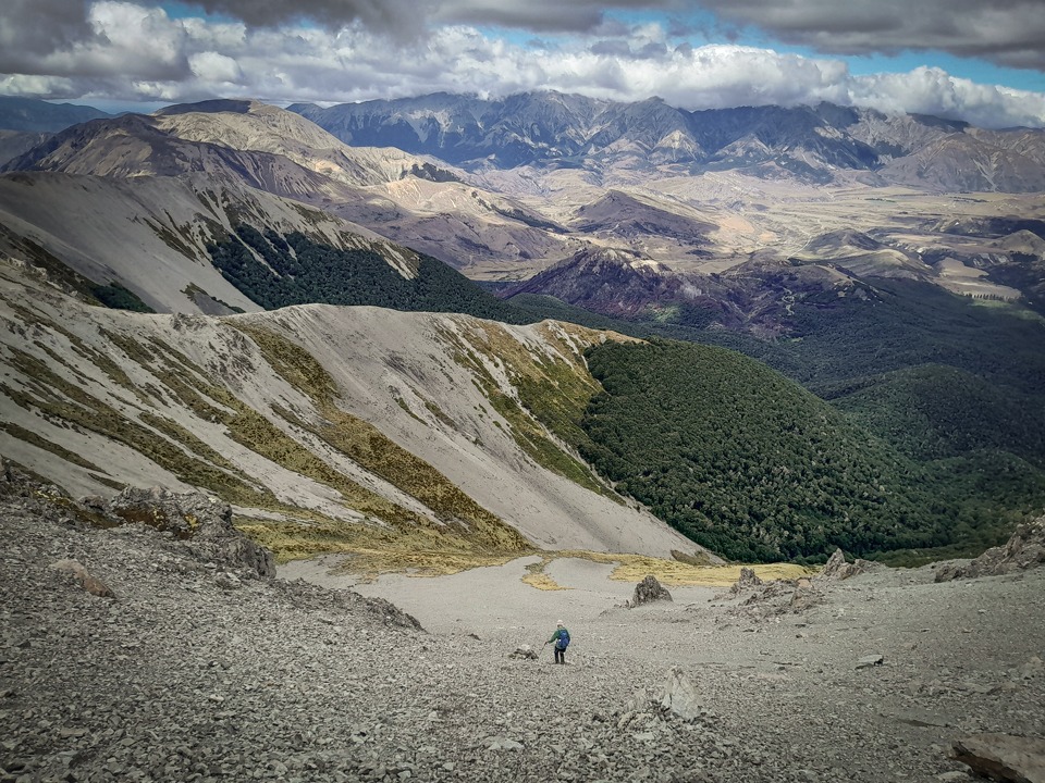
After pt 1941, you can stick to the ridgeline on the north side or just under it until reaching the bluffs before The Gap.
Here descend 50m down the scree to a narrow shoulder directly under the bluffs that leads back into The Gap.
4-5 hrs, 14km, 1,715m elevation.