
This trip was organised a bit late in the piece, after we were unable to secure enough bunks at Jumbo Hut (where we had originally planned to go).
Saturday
We travelled in the club van with another group from the tramping club who were heading to Jumbo Hut – departing from Wellington Train Station at 7am.
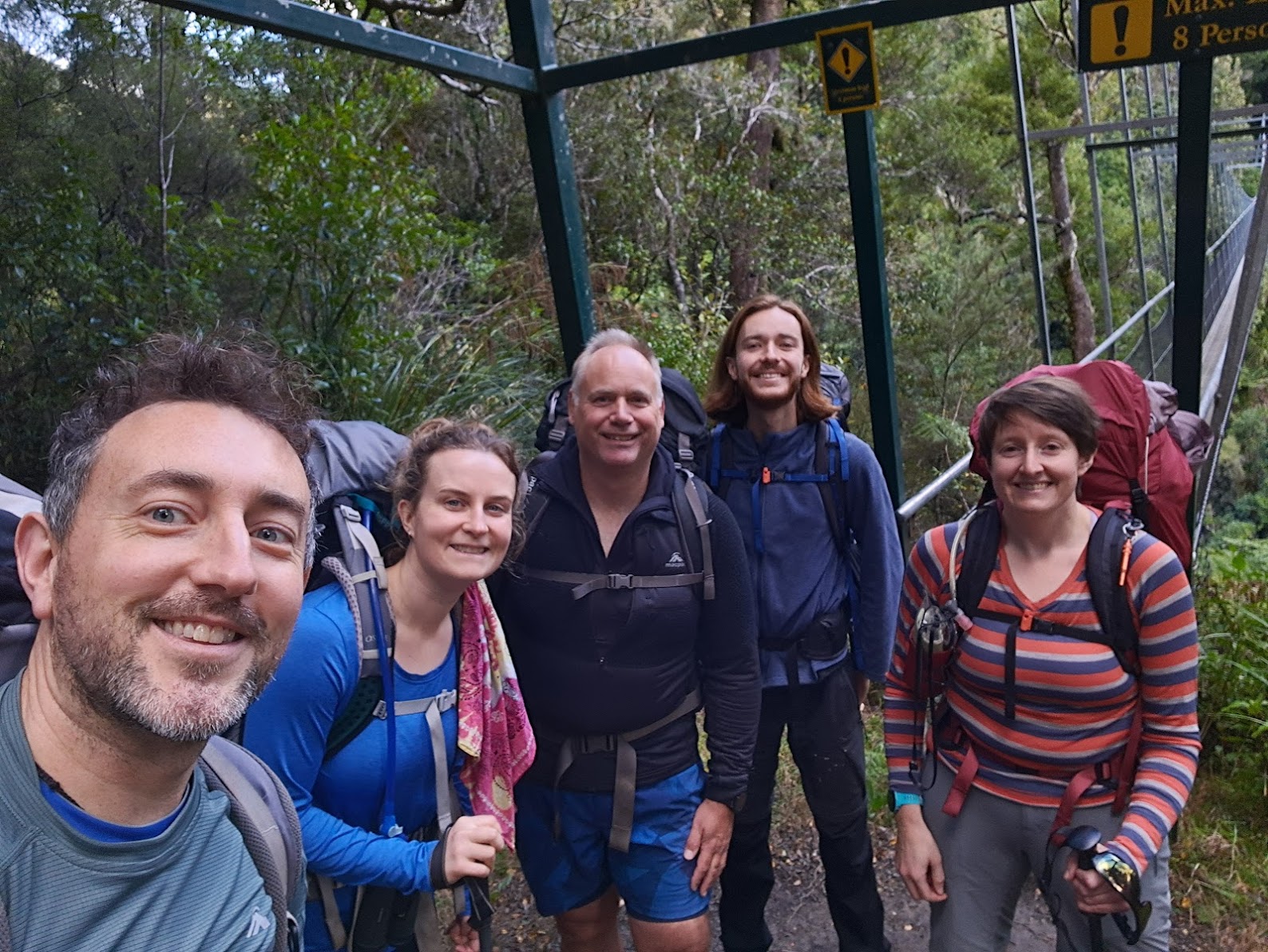
The other group dropped us off at the Waiohine Gorge Road end (located between Greytown and Carterton) before continuing on with their own trip. The drive over the Remutaka Hill to the road end took about 1 1/2 hours. After a quick briefing, we set off on the track just before 9.00am.
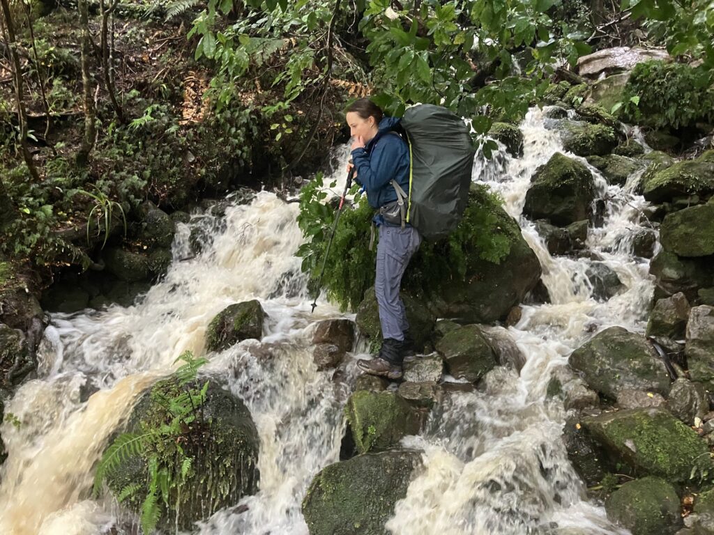
The track starts at 170 m elevation and immediately crosses a large swing bring over the Waiohine River. Once across the River, you head south and cross over Coal Stream. Crossing Coal Stream was easy on the Saturday, as the weather was fairly dry. But it looked like a different beast altogether on Sunday, after heavy rain (luckily we didn’t need to cross the stream again on the Sunday).


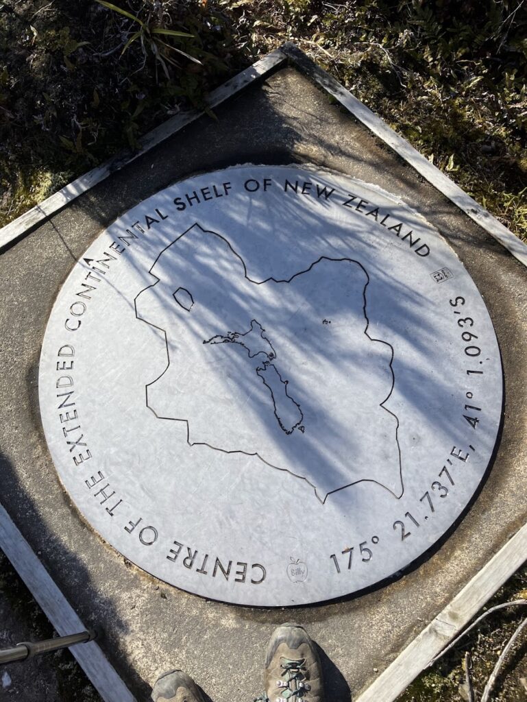
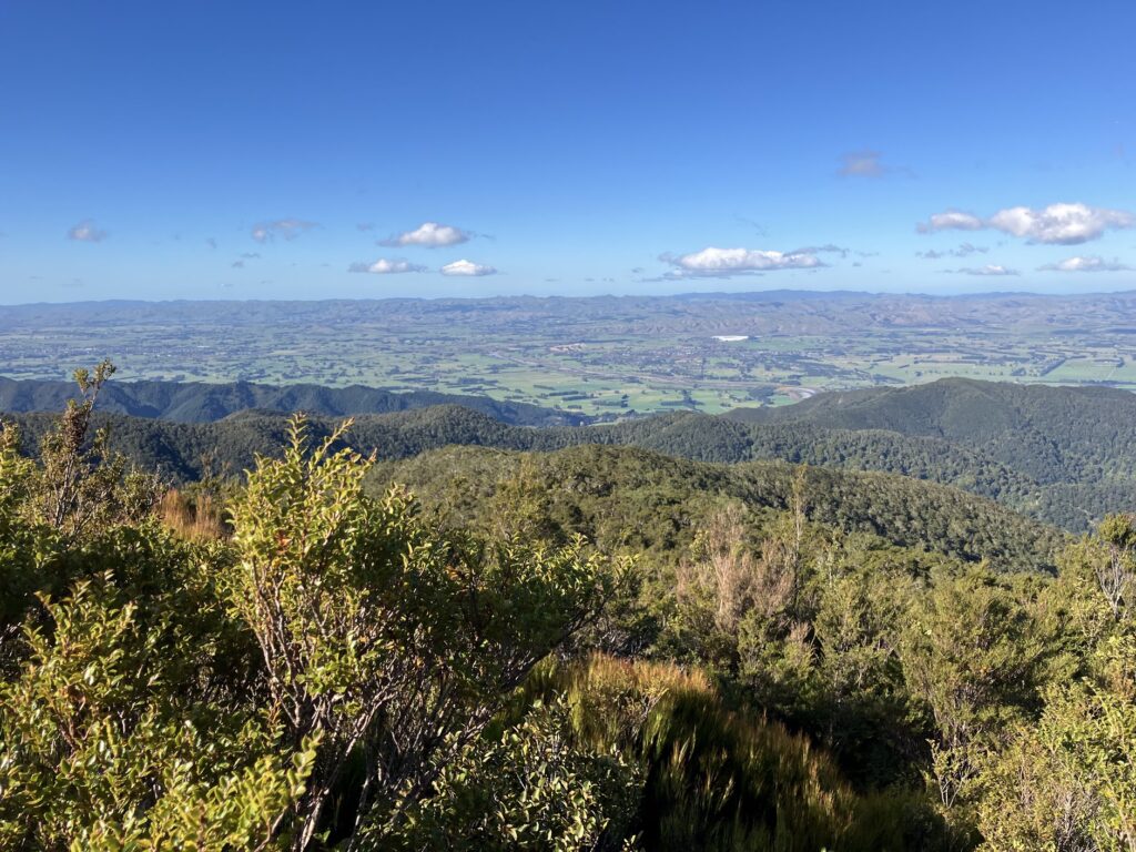
For the first half of the walk on Saturday, we went up the ridge to the summit of Mt Reeves (at 899 m elevation). The climb was steep at the beginning and then levelled out. On the way, the track goes past the Centre of the extended Continental Shelf of NZ – which was pretty cool.
We found a nice sheltered spot on the summit of Mt Reeves to have our lunch – arriving at about 12.10 pm (after a 5km walk taking about 3 hr 15 min).
We left the summit at 12.35 pm and it was a downhill walk to Tutuwai Hut – the downhill got steeper as we neared the Tauwharenikau River valley (where Tutuwai Hut is located). The first people in our group to reach Tutuwai Hut arrived at 2.10 pm (after a 3 km walk, about 1 hr 35 min from the Mt Reeves summit).
Tutuwai Hut is a lovely hut – with 20 bunks, 2 indoor taps and 1 outdoor tap. It is right beside the Tauwharenikau River. We had some nice company in the Hut that night. And Jo arranged a lovely tomato mac’n’cheese dish from the WTMC cook book.
Sunday
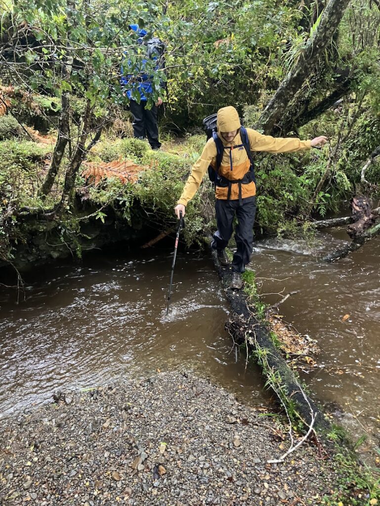
The rain hammered down over night and it rained all day on Sunday too.
We departed the Hut at 9 am and saw that the river had completely transformed overnight. While on Saturday it was a small, gentle flowing river, on Sunday there was a much larger and more powerful river flow, which travelled at pace down the valley to join Lake Wairarapa to the south.
It took about 1 hr 20 mins to walk from Tutuwai Hut to Cone Hut (which is further upstream). Cone Hut is a cool old hut located at about 360 m elevation. Built in 1946, it is the second oldest hut in the Tararuas. We had a quick look inside but didn’t stay long.
From here, we proceeded east up the ridge and back to the car park (a 4 – 5 km walk). We decided to skip the alternative route (the Cone Saddle track) due to the bad weather. It was a cold, wet, nasty day!

The highest point on the ridge on Sunday was 682 m, and the last section back to the carpark descends steeply down to 170 m elevation.
Our group split into two (slower and faster paced walkers) to facilitate getting some of the group out of the rain as soon as possible.
Arriving at Coal Stream, we could see the stream was much changed from the previous day. There was no way we would have been able to cross it on Sunday without getting soaked – and it would have been a scary, dangerous thing to do.
The group that had gone on to Jumbo Hut were there waiting for us in the van at the carpark. We all headed off home, stopping at Loco Coffee & Books in Featherston for a hot drink on the way.
Travel times:
Waiohine Gorge to Mt Reeves – 3 hrs 15 mins
Mt Reeves to Tutuwai Hut – 1 hr 35 mins
Tutuwai Hut to Cone Hut – 1 hr 20 mins
Cone Hut to Waiohine Gorge – 3 hrs
Total loop: 18 km
Thanks for the great trip write-up Bryan, and for co-leading with me! It was a really fun trip, was quite happy to get soaked to get some good tramping in.