
Taking an extra day off work for this adventure was bittersweet – 6 interested punters were whittled down to just 3 as we were the only ones who could get the time off before the closing date for the trip. However in the end we were glad we did it as we ended up with possibly the best conditions we could ask for in the hills.
I was out of work early on Thursday and picked up our little compact hire car on the way to collect the team. The ferry crossing was uneventful, with calm seas and great food (I hasten to add that’s my opinion, not everyone in the group necessarily agrees with ‘great’!)
As we approached St Arnaud, the darkness came and the heavens opened, the kind of rain that strains your wipers. We set up camp at Kerr Bay campground and got a reasonable sleep given the noise of the weather.
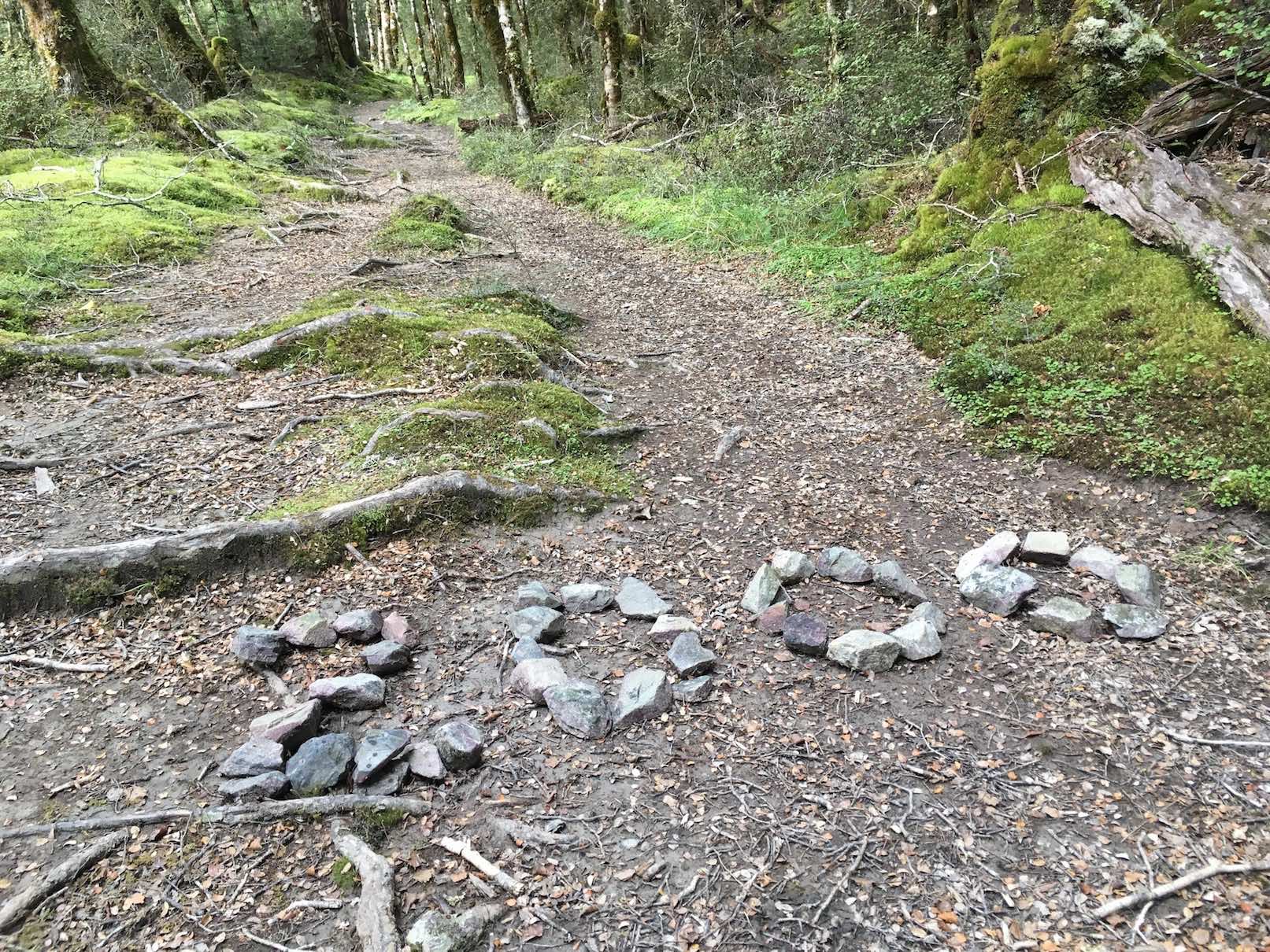
Hamish was our esteemed boat captain for the trip in and did a fine job of talking us through the history of the lakes as we sped South just after 9am, shaving off at least a few hours walk to Coldwater Hut. We arrived to a bustling hut of runners and trampers all preparing to set off on their respective adventures. We wasted no time in hitting the trail, making short work of the walk down to John Tait hut, stopping occasionally along the way to soak up the beautiful views. This was mine and Elisabet’s first time in this valley, our only other time in the park being on a club trip to Lake Angelus a couple of years ago. So we lapped up what this valley had to offer, just stunning. It took us 3.5 hours to walk the 15km to John Tait and after a 30min lunch break there we continued on up the remaining 6.5km to Upper Travers Hut. This section is a little steeper but still very steady, and it is well maintained and easy underfoot all the way (with the exception of a few rock fall sections and small stream crossings). We did this section in 2 hours, arriving at the hut exactly 6 hours after starting out, just past 3pm. The rest of the day was spent relaxing on the deck and enjoying the views of the monstrous Mt Travers overhead. The hut was packed with all walks of life – mainly foreign trampers on the Te Araroa trail. It was strange seeing how they all knew each other from previous huts, having all arrived at different times, at their own pace. They explained that the stone-marked “2000” sign on the way indicated the 2000km point of the TA from the top of the North Island heading southbound.
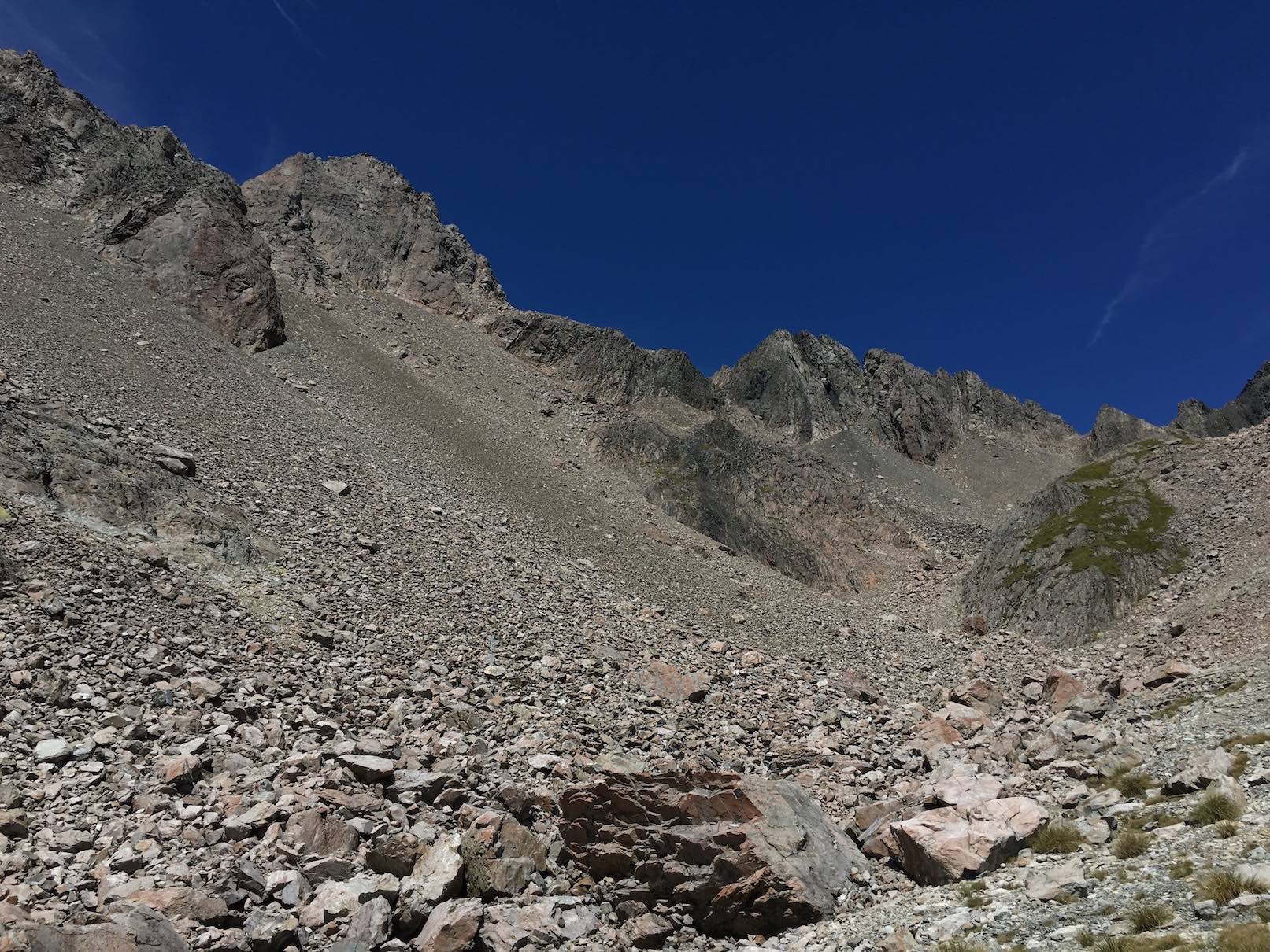
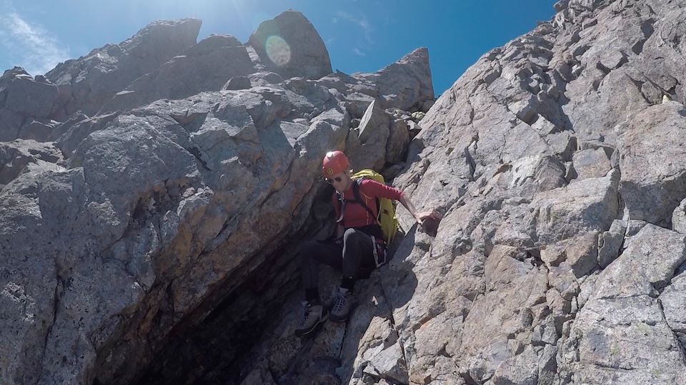
We were out of the sleeping bags at 5am and hitting the trail at 5:50am for Travers. The walk to the top of Travers Saddle took us 1 hour and was straightforward if not a little steep in places. From here were got our first entire view of our intended route, the South Ridge. This route is largely just a scramble on pretty average rock, but it gets it’s ALP3 grade by the fact that there is a notable “notch” half way up the ridge, which requires pitched climbing. It took us an hour or so to get to this point, where we put our harnesses on and carefully down climbed the big blocks into the base of the “notch”. This platform is an impressive spot – it’s nothing more than a few square metres of flat ground, with big drops off both sides down guts in the SE and SW faces. Even though the climbing was technically quite easy, the sheer scale of the walls, the crumbly rock, the shade and chilling wind that blows through makes this an intimidating place. David happily volunteered to lead the first pitch, and I’d alternate with him from there. He did a fine job of taking us up a well defined crack system to an impressive anchor setup in a little nook in the rock. I’d never seen a nut used like a chockstone before so was great to get some more tricks up the sleeve. After reaching this first anchor on top rope, came the dreaded words… “Right, I need to give you some gear”…. So loaded with all the trad rack we had, I set out on my first alpine rock lead, my first time climbing in boots (which really need resoling), and you can imagine my headspace. The grade was probably nothing harder than a 10 – 12, but that doesn’t count for a lot in these conditions.
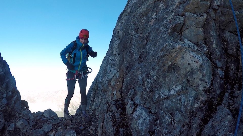
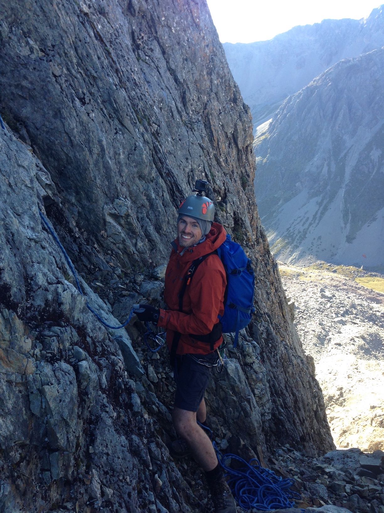
So absorbed in my climbing was I, that when the rope below me went tight I was convinced I had run out (we had an allowance of 30m of rope for each pitch), and just not heard their calls to confirm it. In fact I’d climbed just over 20m, and was only about 3m from the top of the “climbing” section, but had some good cracks in the rock so decided to build an anchor. When Elisabet finally appeared from out of the nook and across the traverse, she confirmed I had “loads of rope left”, to which I was most annoyed. David finished the job by doing what was essentially a 3m pitch, with the remaining 27m of rope being a quick ‘jog’ over some scree to a beautiful flat perch. Oh well! My first alpine rock lead and what counts was that we were all still on the mountain! It goes to show how different this environment can be – a grade 10 trad route on a sunny crag at Titahi Bay doesn’t really compare!
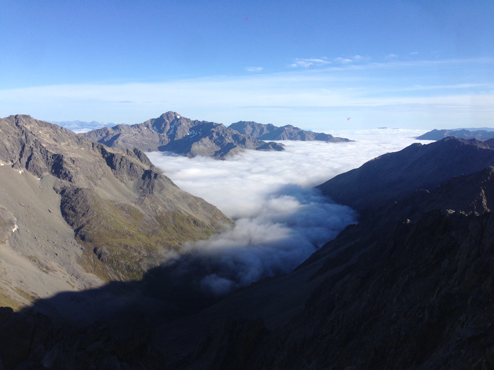
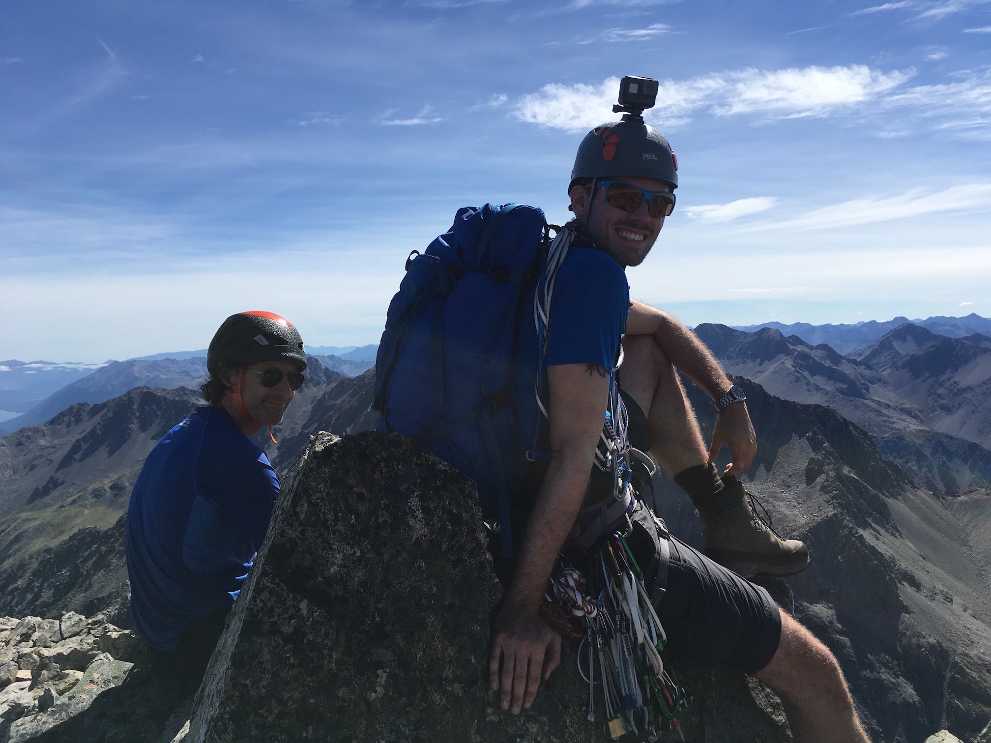
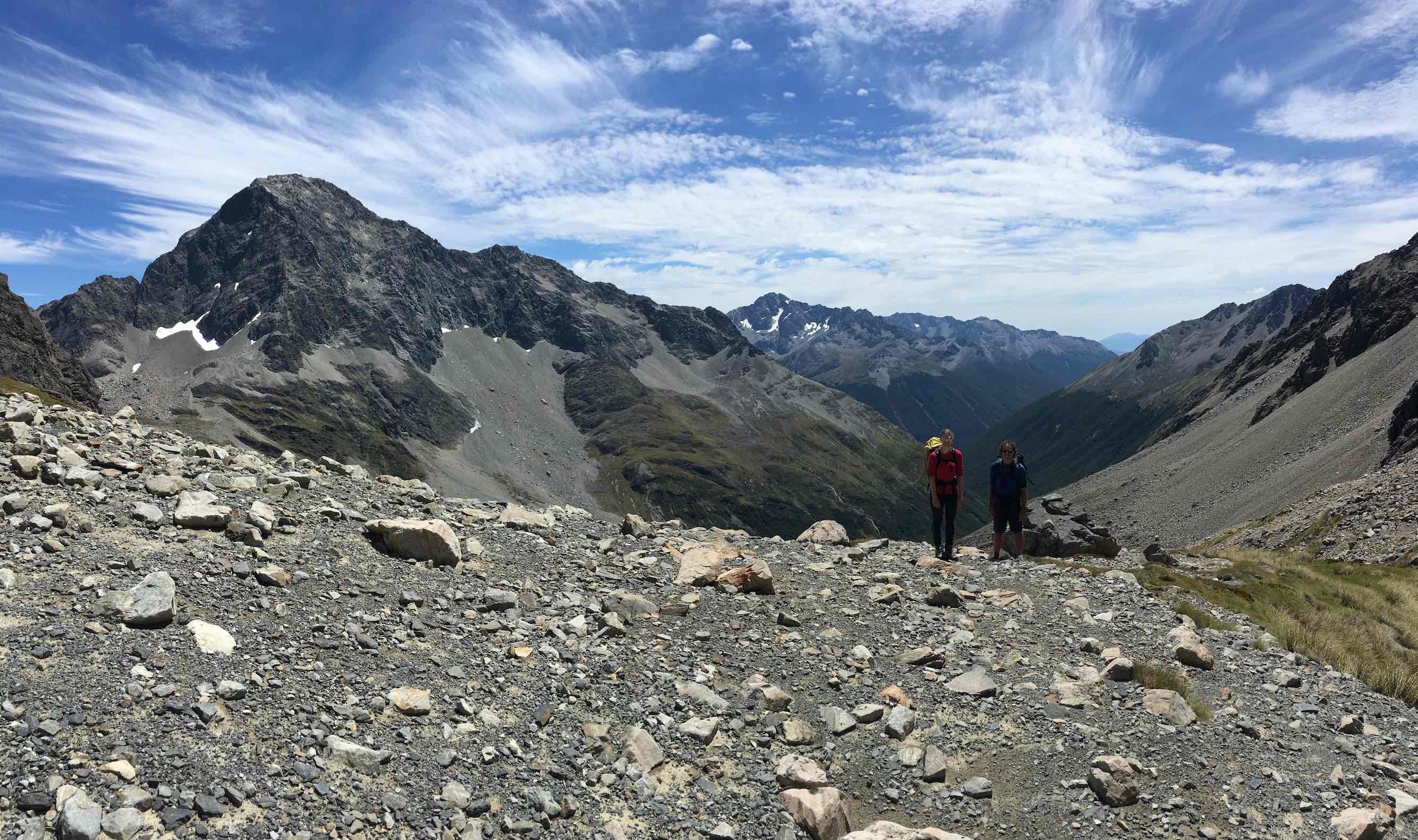
Following this section there is a large flat slab of rock which was covered in places by that nasty wet slippery black moss. We didn’t feel the need for the rope here but safe to say we tread extremely carefully here because a fall on this big slab could have brought a whole new sobering meaning to the term ‘death slide’. After skirting about 20m of this, we were back to really easy scrambling all the way to the top, on big bouldery rock – the quality of the rock definitely improves the higher you go on this route. The summit ridge was a real joy to hop across. The final move was a small jump into a big flat plateau, complete with an old wooden post and a geodetic marker. It was a little cloudy so we couldn’t see the Travers valley, but we got a fantastic view looking South.
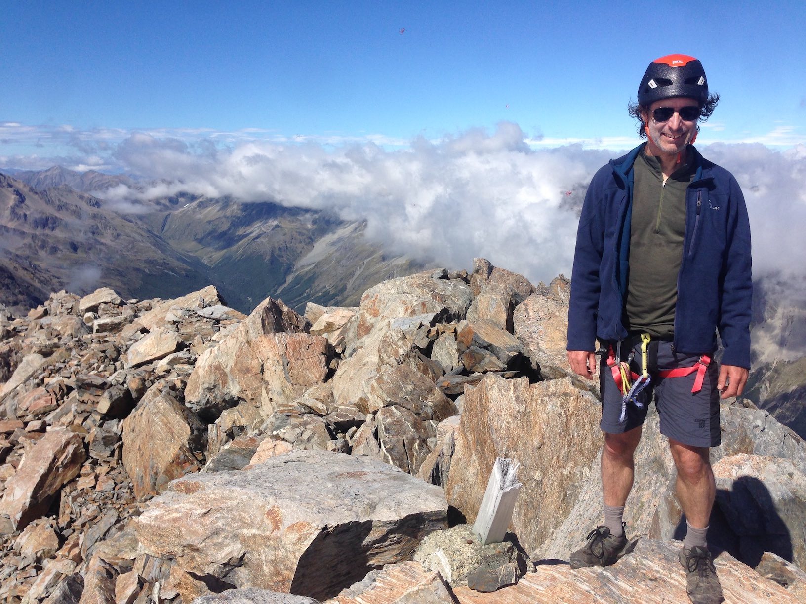
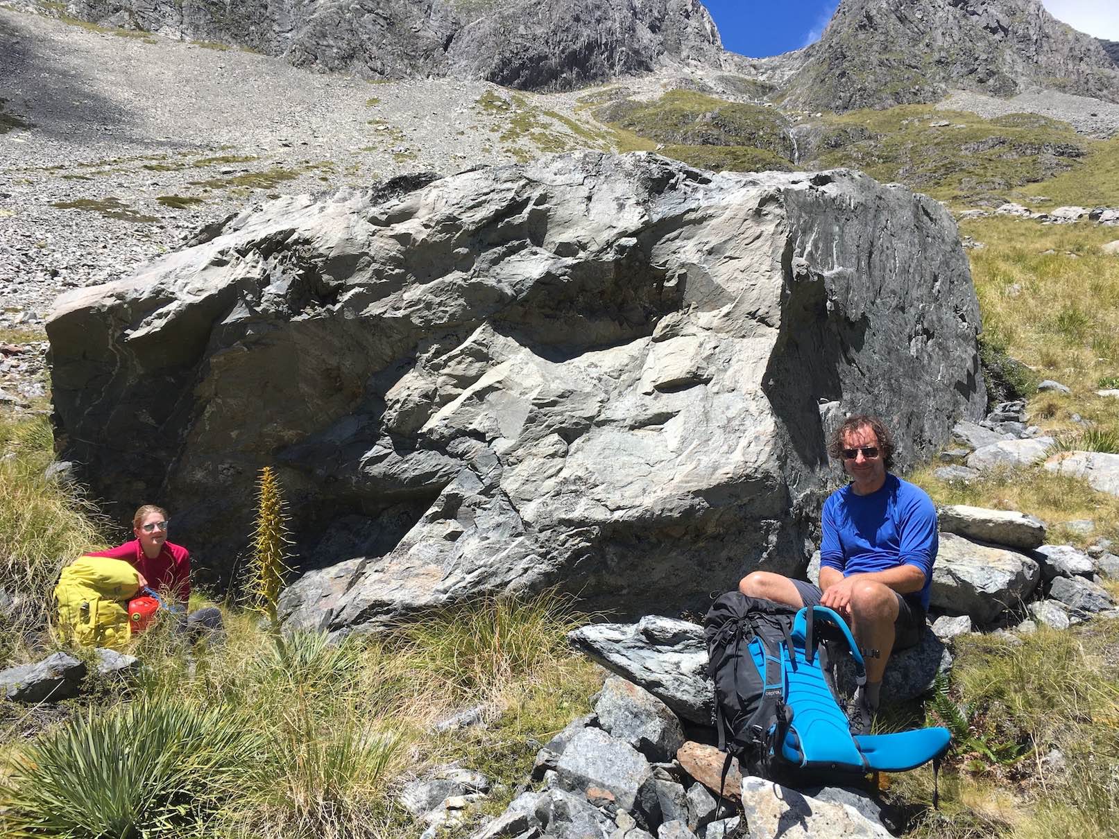
A bite to eat and the mandatory summit photos was followed by a straightforward descent over the remaining length of the summit ridge and down into the Summit Creek route, via a mix of scree and scrub (with some lovely waterfalls to boot). We stopped for another snack at a large rock once in the valley and then continued to pick out a route back down to the Upper Travers track, via some nasty spaniard territory and varied forest. The down side of doing this traversing loop was that we were now back at 950m, meaning we had to repeat the last 3.5km of the track we’d done the day before back up to the hut at 1340m. Yeah it was tough, and not much was said! Once we got back we sought out a little swimming hole just down from the hut, but the water was so cold we couldn’t last more than a few seconds in it – still it was mighty refreshing!
None of us were that keen on the idea of another peak in the morning, so we resolved to get to sleep, and see what 5am would bring us..
It brought another beautiful sweep of stars and still air. I wrestled with the idea of getting my aching body out of the warm sleeping bag, but once I remembered that we had taken a precious day of leave for this, which had caused all the others to have to pull out, I knew we owed it to them to get out there and have another crack. The others must have felt the same because they slowly followed suit.
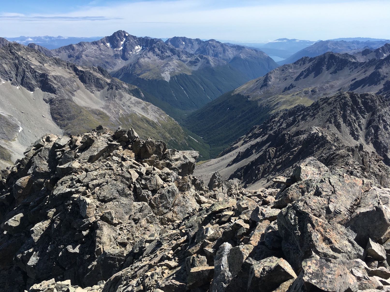
The approach to Kehu Peak is roughly the same distance as it is to the top of Travers Saddle – however there’s no real easy way to get through the initial tussock and sharp plants. This is definitely my most hated terrain. I wasn’t in the best mood for the first 30mins as we fought over the hidden creeks and streams and I managed to grab every Spaniard in sight. It seems the best way to approach is to leave the hut on the marked trail, over the small bridge until you get around the trees onto the path up to the Saddle. Pick a line with the least amount of bushes, and get over the stream and follow the mini waterfalls up. After an hour, at just before 7am we were at 1800m on the plateau looking up at our first full view of Kehu Peak. Whilst this peak is high, it’s tiny in size compared to the mighty Travers. You can run up the steep scree slopes to 2100m before you actually hit the rock of the mountain.
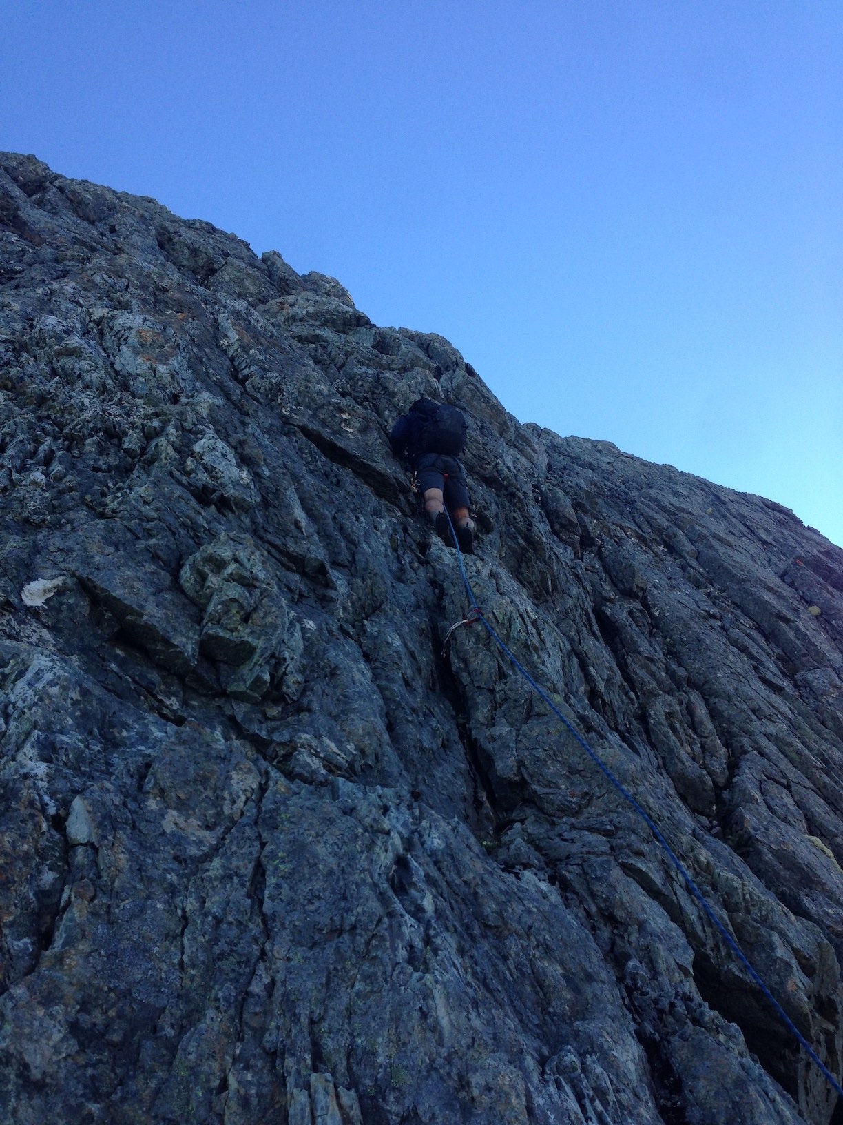
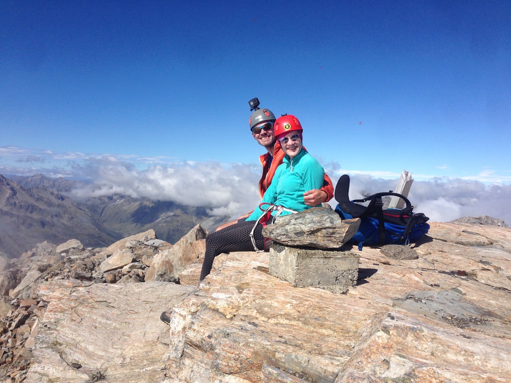
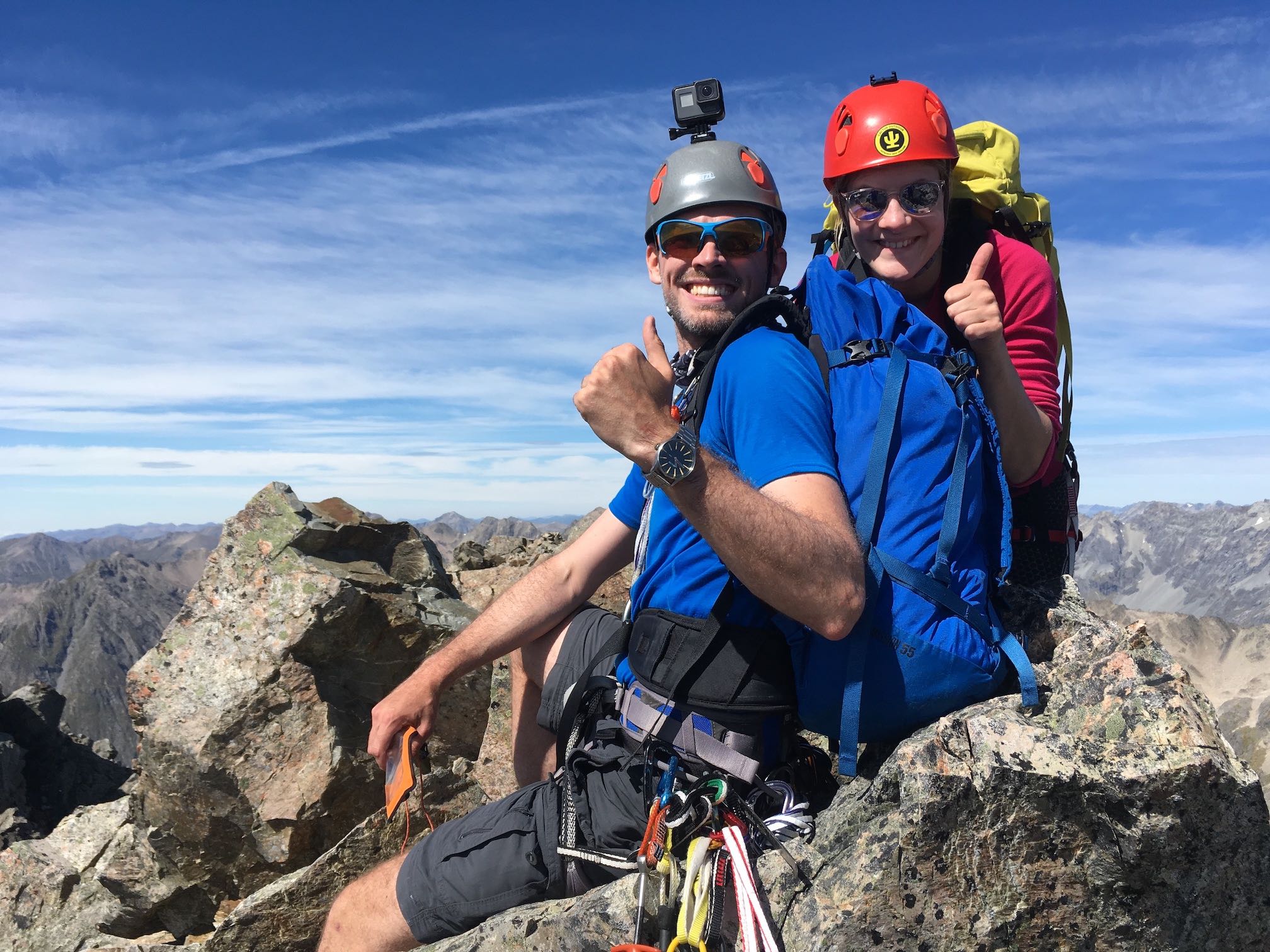
We arrived here around 9.30am and broke the rope out. I did the first pitch of very easy climbing up a big crack in the rock, and David led us up the next section to a little station just below the arete leading up to the upper reaches of the North Ridge. We could have just scrambled out onto the face from here and on up to the top, but given we had ample time I opted to take the more fun looking arete up to a ledge system which David and Megan had used the last time they climbed a variation of this route. Airy climbing on nice easy steps with a short traverse to the right led me to a perfect belay spot except for one huge lump of rock which was unceremoniously shifted off the edge and all the way down the face. The final pitch took us directly across the top of the NW face and from there we followed a small gulley of loose rock up onto the summit ridge. Unlike Travers however, the fun wasn’t over yet – we had to descend a few metres to a solitary boulder nestled on a very thin ledge between us and the true summit. A couple of stretchy moves gets you over the North side of this and the rest was straightforward. For the second day in a row we were sitting on top of the park with wonderful views and not a breath of wind.
There’s no super easy way back down this peak – so we made the decision to descend almost exactly the way we came. We used a couple of abseils which David opted to clear and down climb (note to self, need to practise down climbing more!!) It’s not hard but it wasn’t until later when I realised just how sore my arms were that I realised just how much I must have been gripping the rock!
David hit the scree and ran faster than I’ve ever seen anyone do it before. He left us in the dust (quite literally). Although according to him, Mike P makes him look slow!? Don’t know what that makes us, but he had a good 10min rest at the bottom before I finally showed up.
We were back at the Travers Saddle track just before 1pm, but just as I was switching off and turning my thoughts to a nice cracker and slab of melted jelly-like gouda cheese, I managed to royally screw up the very last hop over the stream, slipping off not only one rock, but both rocks, falling in so deep that the only dry part of me was my head. Elisabet immediately burst into fits of laughter; only then thinking to ask if I was OK, and maybe offer a hand to get me out. As you can imagine, I said very little the rest of the way to the hut, and I very much look forward to the day it happens back to her so I can laugh just like she did. I’m not bitter, I promise.
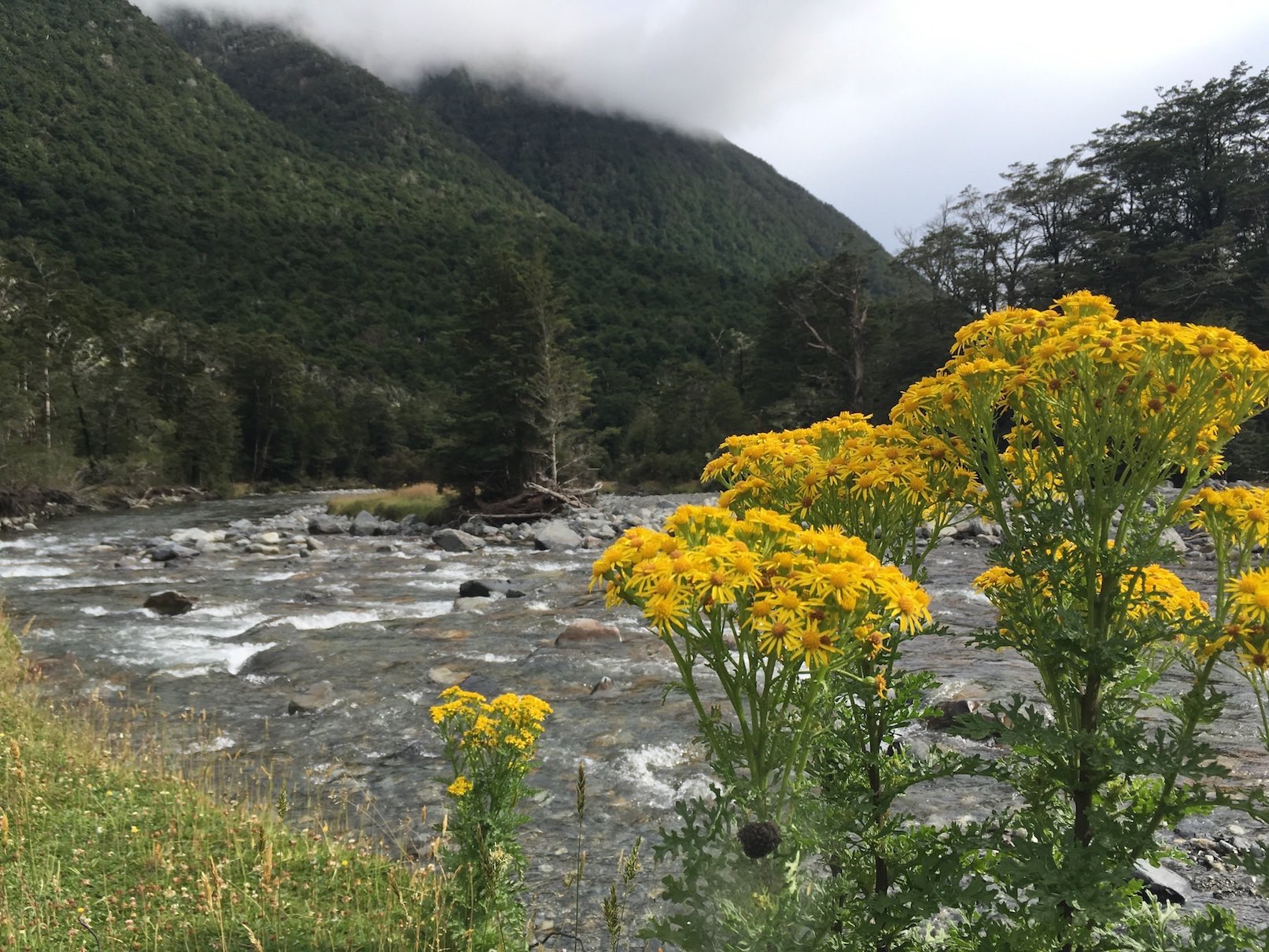
By this point, we’d covered ~40km of distance and climbed 3000m of altitude in 3 days. We were understandably not excited about the idea of walking 22km to Coldwater the next day by 2pm. So after I’d dried most of my stuff (including my phone) we decamped back down the valley to John Tait Hut, so that the walk out tomorrow would be 6.5km shorter. Aside from the fact that I had to wear all my long sleeve thermals to avoid the swarms of sandflies, it was a very enjoyable and peaceful evening at the hut with some good company. The highlight was finally getting to eat the date cake which had been sat in the food bag taunting us for days.
Our last day was a lovely stroll back through the valley, where the threat of rain never materialised. We took it slow and steady, stopping to chat to all the TA trampers along the way. We had an hour to spare at Coldwater Hut before Hamish came speeding across the horizon 15min earlier than planned. The cotton clothes we stashed in the car were an absolute joy; the Powerade, pie and sausage roll at the garage up the road even better, and the beer on the Picton Waterfront topped off the most successful weekend we’ve enjoyed yet in the hills. I’m already dreaming up the next plan.
Check out this video made by Nick of the trip: