
After having to cancel the bushcraft course, the next best thing seemed to be a day out in the Remutaka Forest Park for a bit of map and compass practice, with an intro to river safety.

We started the day with map reading theory at the Catchpool carpark. Identifying symbols on the map – easy! Reading grid coordinates and using contour lines to identify relief on the map, a bit more tricky.
We headed off on the Ōrongorongo track for some practice, with regular stops to guestimate where we were on the track and spot bridges that weren’t on the map.

Once at the river, we talked through assessing river conditions to make a decision on whether it is safe to cross or not. After practicing linking up on a shallow side stream, we set off towards the Ōrongorongo river to look for a way through. No luck this time, but a few of us still had the opportunity to practice on a braid of the river, slightly deeper and with a stronger current.


After a quick lunch we went over compass theory, understanding the difference between geographic North and magnetic North, taking and following bearings. With the curliest of all questions: why didn’t they put the magnet on the geographic North?!
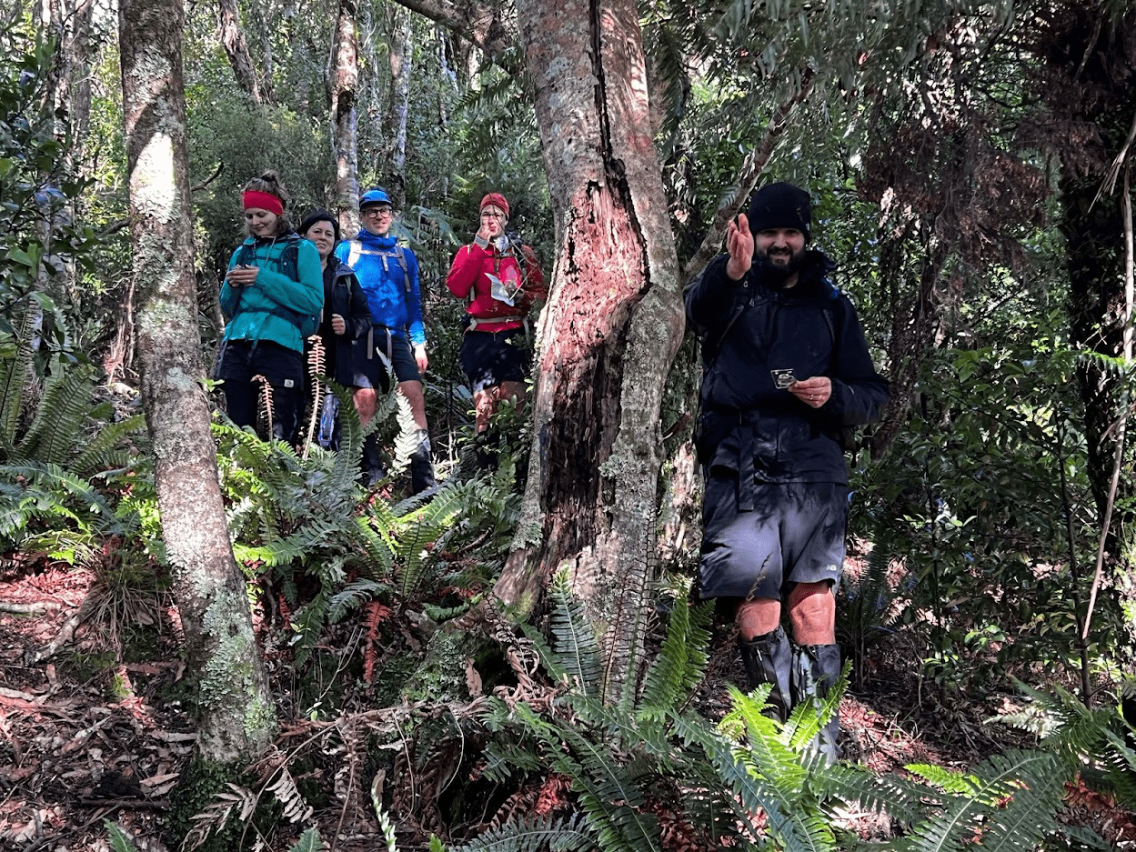
A gentle walk up Cattle Ridge track led us to high point 444, which the group identified successfully thanks to their new map reading and observation skills!

From there, we headed off track and through the bush, leapfrogging to follow bearings down the spur. But as the group became more confident navigating, the bush grew thicker… with hours flying by and slow progress bush bashing down, we were running late. Just enough reception to text our emergency contact, before speeding up a bit down the spur. After some more scrambling we made it back to the Ōrongorongo track. Another 45 min and we were back at the carpark… about 2hrs behind schedule!… Oops!
Overall, a long day on (and off) the track but also a lot of enthusiasm!


__________________________________
Approximate times:
9-10:30am: arrive at carpark and map theory
10.30-12pm: practice map reading on the Ōrongonrongo track
12-1pm: river safety
1-1.30pm: lunch
1.30pm-2.40pm: compass theory
2.40pm-3.45pm: Cattle Ridge track to high point 444
3.45pm-6.45pm: Off-track navigation
6.45pm-7.30pm: Walk back to carpark via Ōrongorongo track
__________________________________