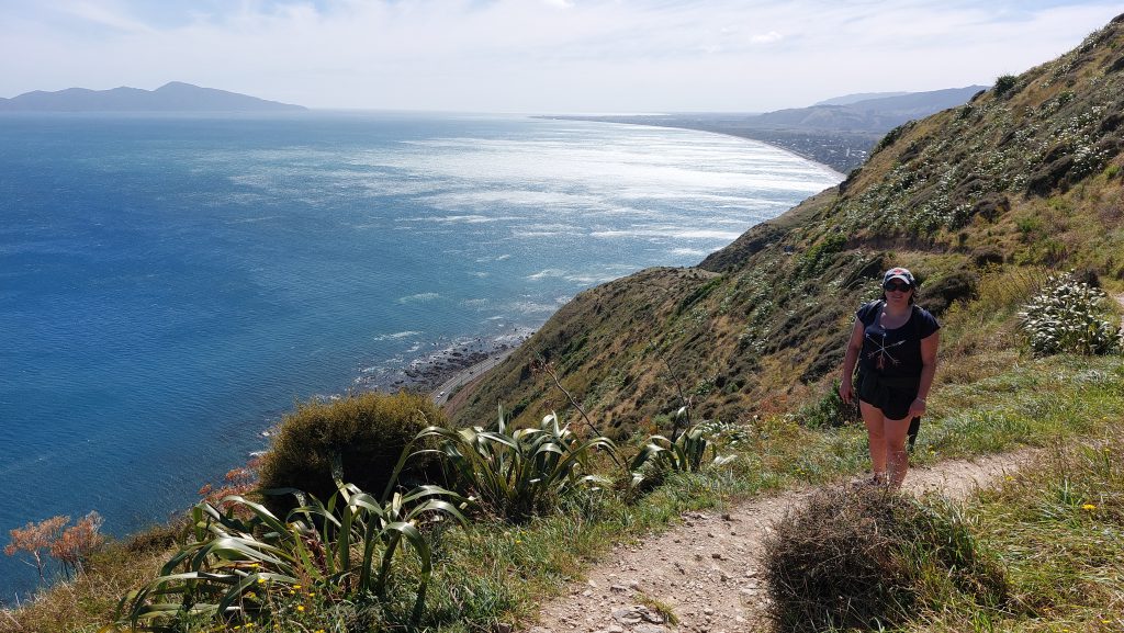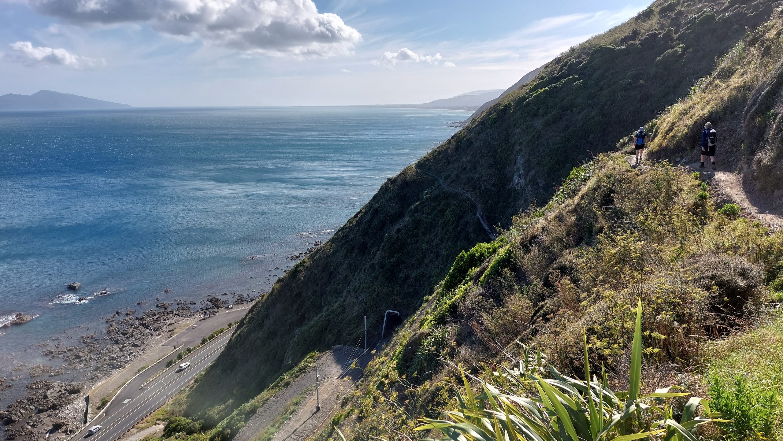
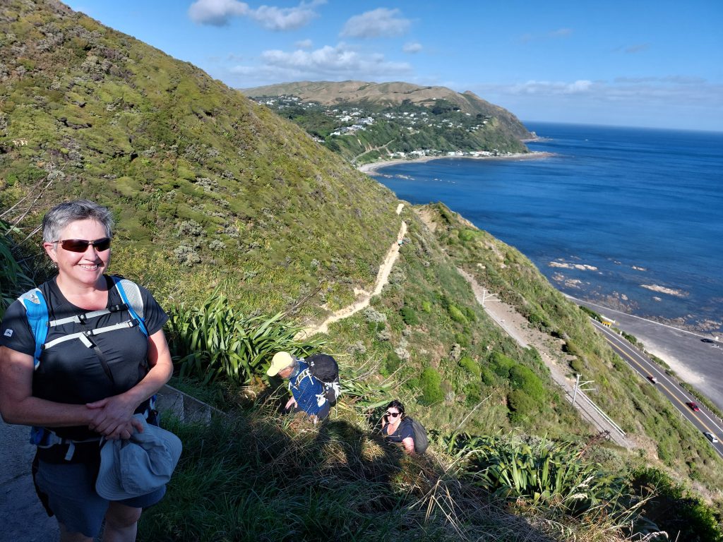
After meeting at the Wellington railway station we headed out to the Pukerua Bay end of the track. The weather was fine (18-20 degrees) with a southerly wind (average wind speed around 25 km/h). Apart from a few more exposed places, the wind was light and helped us avoid overheating too much on the steep uphill sections.
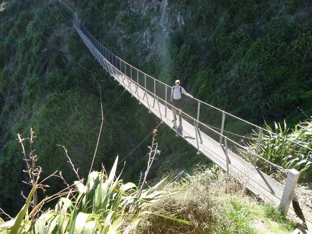
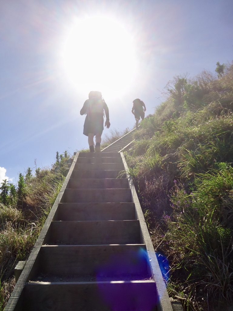
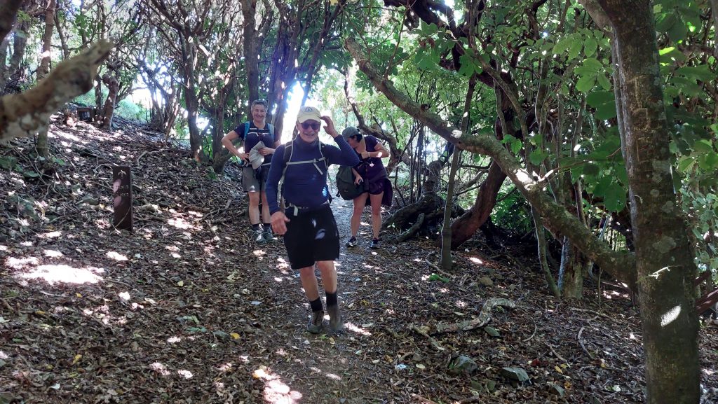
The track is 9.2km in length and we took about 3 hours, with plenty of stops for photos. The highest point is 220m. While there are lots of steps, they are all of uniform height, which I think makes it easier. There are quite a few seats along the way where you can take a breather or just enough the view.

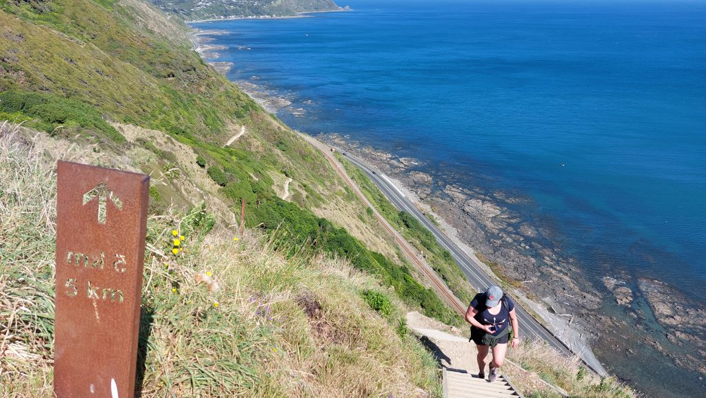
Walking from Pukerua Bay to Paekākāriki meant that we had views of Kapiti Island most of the way. We had a coffee stop in Paekākāriki and then returned to Wellington. A good day out!