
As the sun rose over Wellington on ANZAC Day morning, four trampers hurtled through Transmission Gully, bound for Mangleton Road and Ruahine Forest Park. Google was telling us that the difference in travel time between the SH1 or SH2 from Wellington and Woodville was negligible. The closure of Kereru Road, near Kereru itself, due to catastrophic flood damage from Cyclone Gabrielle in February 2023, required a 40-minute detour. We reached our destination at around 2 pm.
This trip was to be a hut bagging bonanza: Sentry Box, Parks Peak and Upper Makaroro on day one. Kylie Biv via Totara Spur, and along the tops to Ruahine Corner on day two. Day three: across the Ruahine plateau before dropping to Ikawetea Forks and a river amble to Rockslide Hut, and finally a return trip to Mistake Biv before visiting the abandoned Aranga Hut.
Mangleton Road to Upper Makaroro Hut: Moving 3 hr 30 min, Total time 4 hr 15 min , Ascent 981 m, Descent 868 m
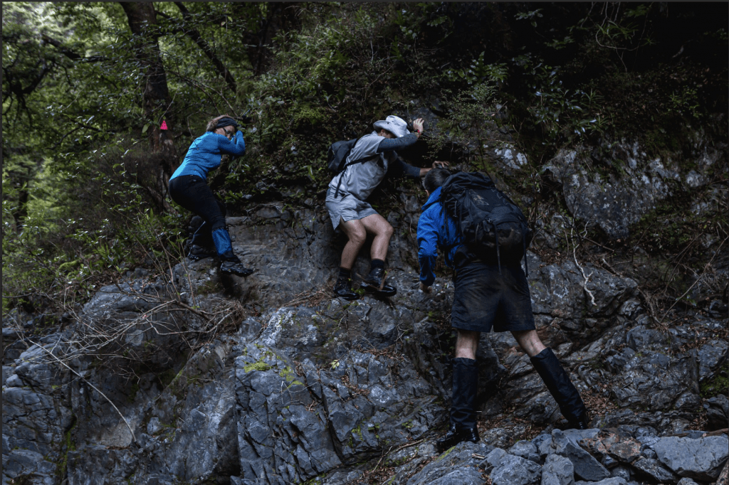
We crossed the farm paddock to the bushline for a quick walk to Sentry Box Hut at the base of the hill. After filling up our water vessels at the nearby creek, we began the steep climb. The ascent was punctuated by a ringing gunshot. Some respite came after 400 vertical meters, at Rocky Knoll, where we found the amateurish rifle owners. We set off at pace, eager to get out of range.
On reaching the 1300 m contour, we turned south, enjoying the relative flat among the stunted beech trees until reaching Parks Peak Hut. This was a neat, tidy gem of a place, not far from the route which steeply descends to the Makaroro River. Reaching the riverbank at dusk, we crossed Makaroro River with Sam scouting the short, hidden, track to Upper Makaroro Hut.
Upper Makaroro Hut to Ruahine Corner Hut: Moving 5 hr 15 min, Total time 7 hr 30 min, Ascent 1298 m, Descent 961 m
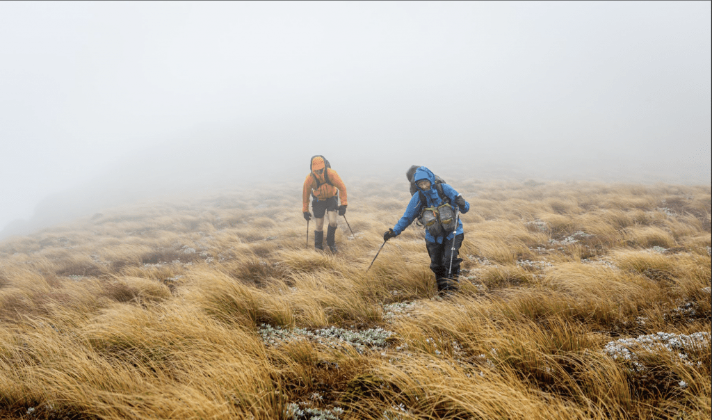
We set off at 6 am, hoping to beat the worst of the forecasted weather. Totara Spur starts immediately beside the hut, and as we climbed, the wind rose and the temperature plummeted. Despite a brief respite as we emerged at the bushline, within 20 minutes to the top of the main range, ominous black clouds rolled in accompanied by a fierce gale and squally showers. A thick mist made navigation in the featureless terrain difficult as we fought our way south, and several pack covers were lost in the battle. A sign materialised out of the grey — Kylie Biv.
The descent was slippery and swift and the blue form of Kylie Biv was soon visible among the tūpare (Leatherwood – Olearia colensoi: subalpine scrub shrub or tree to 10 m tall with thick, leathery, serrated leaves). We threw ourselves through the hobbit doorway, dripping and cold. No one ventured to the exposed thunderbox.
It was relatively sheltered climbing back to the ridgeline, but the storm had not relented and pounded us as we traversed 2 km north. Walking against the crosswind was utterly exhausting and required solid bracing.
Our eagerness to escape the wind almost led us down the spur to the west of pt 1503. We thank the NZ Topo app for its help here. With great relief, we reached the forest proper and followed the spur down. The sun appeared, lifting our spirits and we stopped in a sunny puddle to eat.
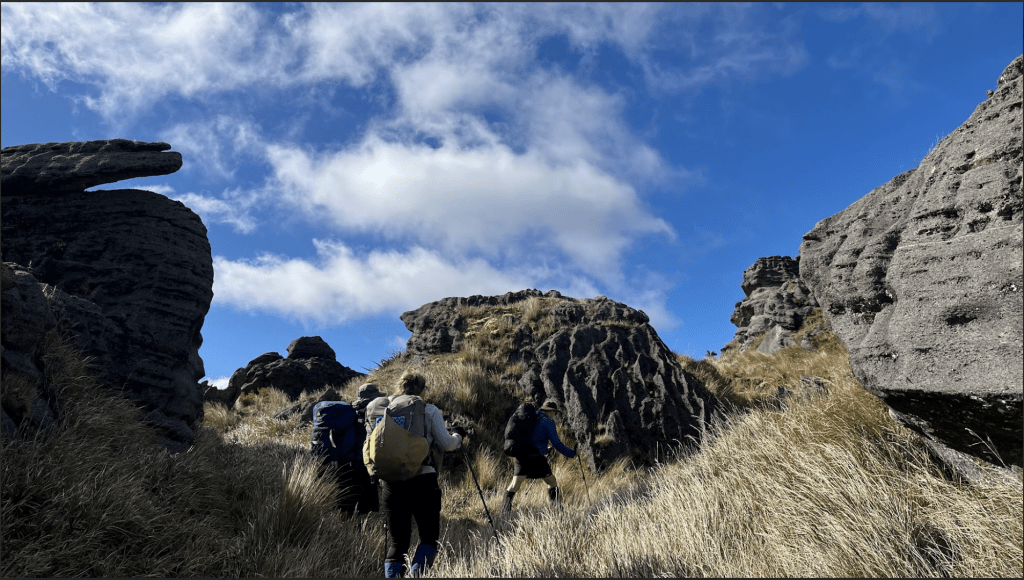
The climb toward Potae involved a series of slippery traverses and stream crossings as we curled upward. The southern ridge of the Mangaohane Plateau consists of a series of limestone scarps clad in thick bush and we passed under these towards pt 1276 and above another huge slip that slumped into the valley below. The track continued to lazily head north, every now and then giving us glimpses of the open grasslands that awaited.
With dark clouds amassing again, we raced towards Ruahine Corner Hut, reaching it moments before the weather packed in for the afternoon. Huzzar! The woodshed was full and Regan soon had the fire roaring, making the hut a cozy shelter from the storm.
Ruahine Corner Hut to Rockslide Hut: Moving: 5 hrs, Total time 6 hrs 40 mins, Ascent 510 m, Descent 980 m
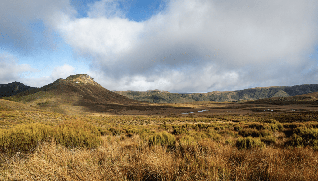
We woke to a silent mist, which dissipated quickly as the sun warmed the landscape. Following a 4WD track snaking north along the plateau, we passed two impressive dolines (sinkholes) and the Makirikiri Tarns. We continued along the road, over an airstrip and past a private hut before climbing a further 70 m and turning east on the northern edge of the plateau. A rough ground trail was evident at times, with occasional pink tape, and we followed these to pt 1206, passing several limestone bluffs guarding the edge of the plateau. From the summit we could survey the sprawling expanse of the Ikawetea River valley below.
Our plan was to bash down the spur from pt 1206 to pt 953, before plunging down to the Ikawetea River. In the end, no bashing of bush was necessary, as we found a well-trodden trapper’s track clearly marked with pink tape. The descent to pt 953 was gentle, but thereafter the topography steepened dramatically and we were eventually spat out at the confluence of two tributaries of the Ikawetea River, a little under 100 metres from Ikaweatea Forks Hut. A track led out behind the hut through a heli clearing, before beginning a gut-buster of a climb to the 800m contour, and an equally tortuous descent, to avoid a 20 m waterfall on the river.
The river worked its way between steep rocky gorges and more open sections where camping would have been possible. After several hours and encountering several pairs of whio, we reached the large slip marked on the map at true right, opposite Rockslide Hut. There was an abundance of dry material at the Hut and Sam soon had the fire pit roaring. We comfortably slept three inside the Hut, while Regan opted to take one of the two wire bunks in the lean-to.
Rockslide Bivvy to Mangleton Road: Moving: 8 hrs 30 mins, Total time 10 hrs 20 mins, Ascent 1052 m, Descent 1297 m
We woke before the sun rose to frozen boots regretfully left outside. Unfortunately, our freezing extremities had no opportunity to warm up, as we repeatedly navigated the river on route to Mistake Biv. There was a fecundity of Whio – a pair possibly every 400-500 m. Not long after the stream turned to the south, we encountered the first deep pool. A piece of pink tape briefly led us away from the river on the true-right and a little shimmy on a dodgy piece of rope helped us reach the other side of the pool. A final turn north and the valley widened enough to allow glorious rays of sunshine to penetrate. At no time did we need to immerse in water higher than mid-thigh (on a 1.637513 m person).

Mistake Biv, on a terrace on the river’s true-right, has certainly seen better days. The mattresses are tatty and bird droppings adorn the interior of the shelter. The return trip was quicker than the trip up and we reached Rockslide Hut again before noon. We had an early lunch and tackled the final climb up the steep gradient behind the hut. It was hard work on a warm and windless day. Our reward came at the bottom of the slip, around the 1100 m contour, where the trees ceased. Ruapehu shimmered in the distance and all was right with the world.

When the bush resumed, it was stunted and mossy and continued north of pt 1311 before eventually emerging into waist high scrub. Finding the track at pt 1361 required scouting, but a rough route on the bush edge led to a large orange triangle – the first we’d seen in several days. The track took us down to a saddle, before another climb to the broad tops surrounding pt 1406. Here the land had the look of a past burn-off, with old trees standing in a boggy expanse. On the far side we re-entered the bush for a short time before emerging at Aranga Hut.
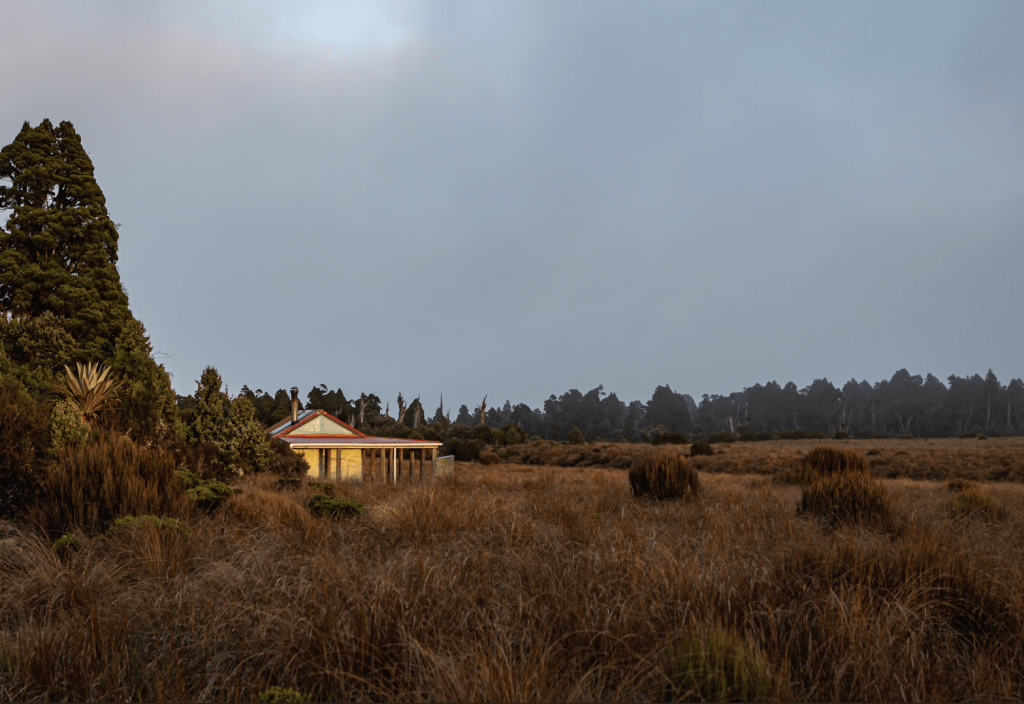
As with Mistake Biv, Aranga Hut has seen better days and is no longer maintained by DOC. Despite its dilapidated state and no bunks or mattresses, it would provide a dry roof for a night.
Reaching the junction of Golden Crown and No Mans Tracks, we turned south. The wide shaded path presented few views and our minds turned to one of the great joys of tramping – the post-trip snack stop. The rude drop to a saddle before climbing up Pohatuhaha peak reminded us that all work wasn’t yet done. From the trig, it was 5-10 minutes to the junction, before the final, knee wrecking descent to Mangleton Road.
This trip had it all – spectacular views, plenty of huts, solitude, and serenity (all together, “so much serenity”), an abundance of whio, off-track exploring, interesting rocks, varied terrain, river travel, wild wind and warm sun. With the addition of good company this was a top experience.