Summiting Ruapimple – Ruapehu’s baby brother
An easy climb to the summit of Pukeonake the lowest named volcanic peak in Tongariro National Park
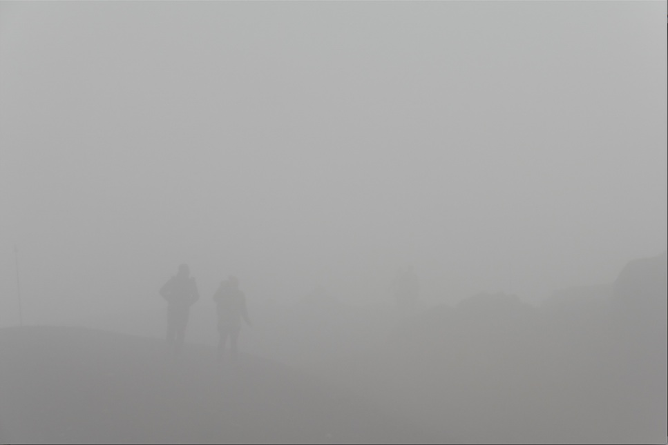
Two van loads of happy WTMC trampers reached our lodge close to midnight. Everything was completely fogged in. Luckily the green lights up at XXC gave a good hint where to stop and try to find the steps to the lodge.
Most of us were lodge first-timers and when we arrived we were all in awe of the luxury. Couches, a real kitchen, heaters and even a hot shower were all new experiences for a weekend tramp.
Meanwhile, the weather forecast was much less impressive. Our original plan was to walk to Crater Lake of Ruapehu on Saturday. But with the forecasted fog and wind, this plan was canned and we went to Tama Lakes and Silica Rapids instead.
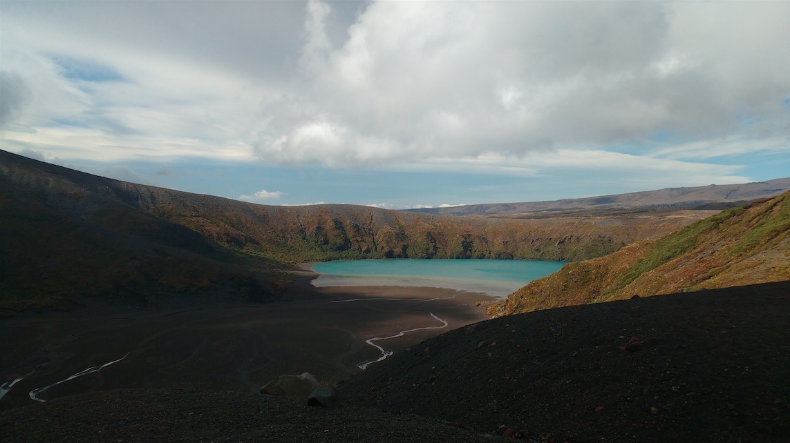
When we drove down from the lodge the next morning, we left the fog above us and it stayed like that for the rest of the day. Lower Tama lake was a beautiful and mysterious sight, settled just under the clouds with bright silver streams leaking into it. A bit further up, the track ended and Upper Tama lake remained a mystery altogether, without any sight of it.
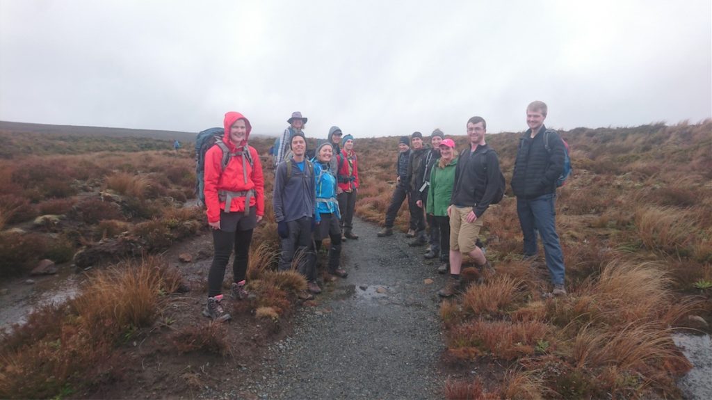

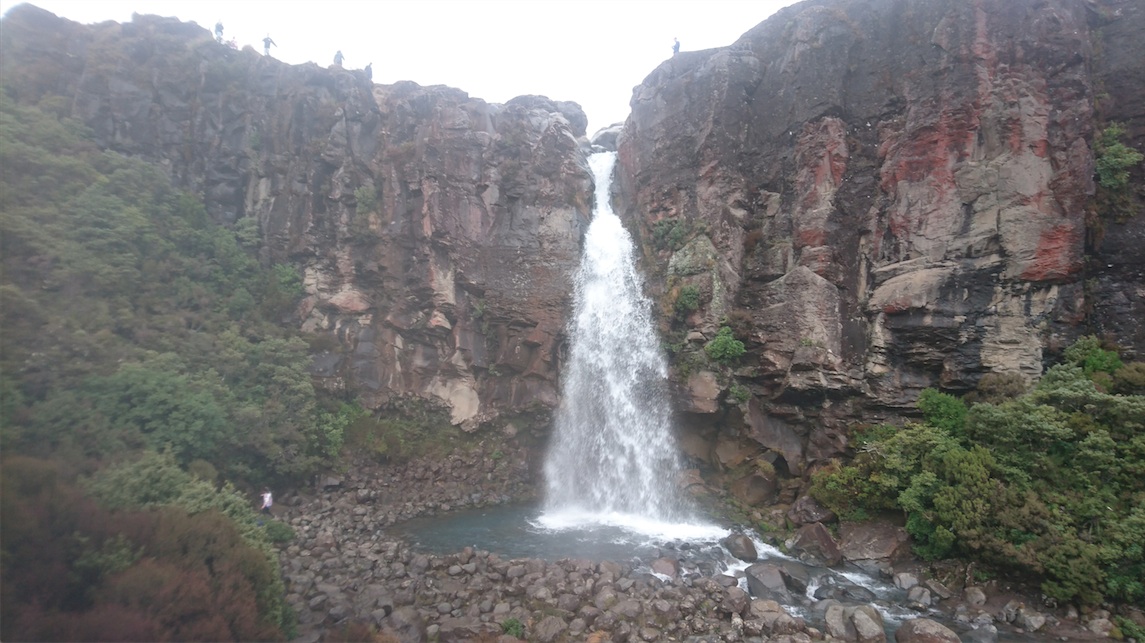
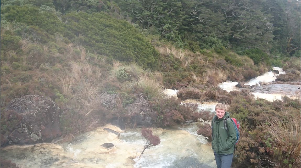
When we returned to whakapapa, we still had plenty of time for the return trip to the Silica Rapids. All together, we tramped for 7 hours and made the most out of a day with pretty average weather. The combined dinner for both groups in the lodge was simply amazing, and the vegan chocolate cake as dessert was even better.
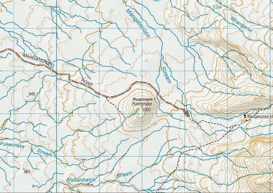
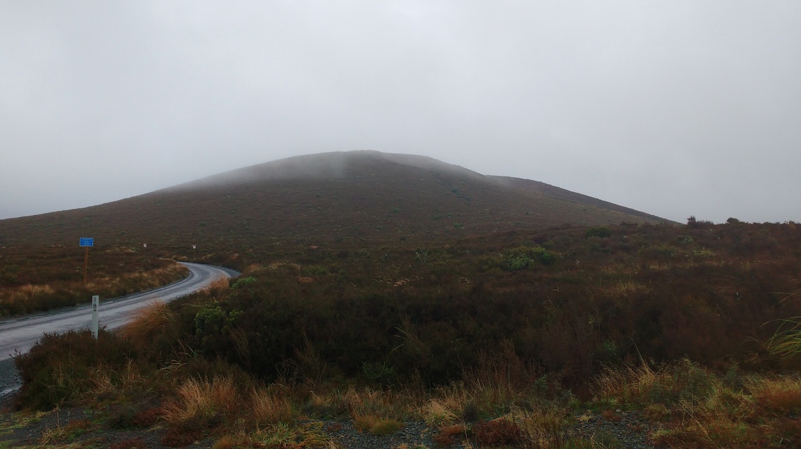
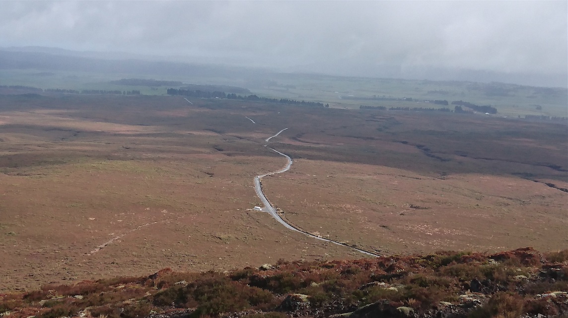
On Sunday morning, we devised a plan to quickly climb Pukeonake (763663, 1225m), before heading back home. This mountain is well known for holding the world record of being the lowest named peak in Tongariro National Park. On the map, it looks like a nothing knob and we aptly renamed it Ruapimple. Just 1km from the road end, and with 100m gain in altitude, our various estimates of how long it would take to climb this pimple were as positive as 10 minutes. We couldn’t be more wrong.
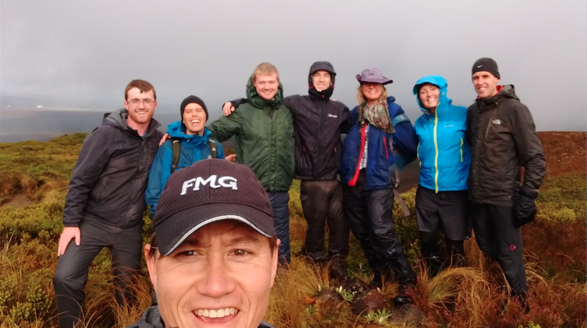
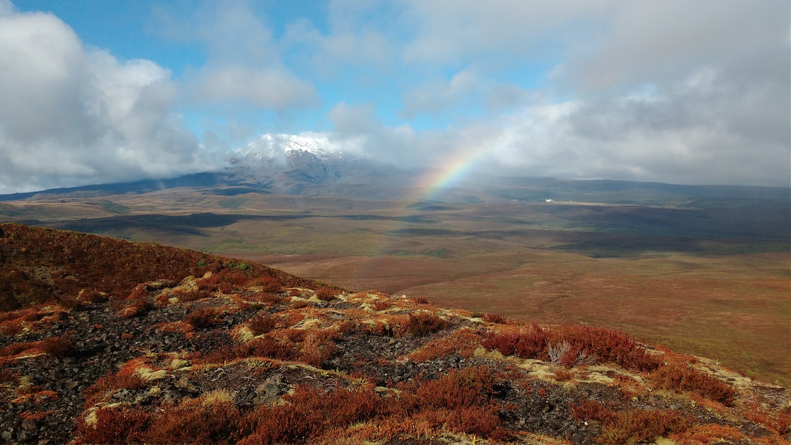
As soon as we set off along the foot track, the weather deteriorated and within minutes, both the van and the peak were suddenly out of sight. Shortly thereafter, the track turned into a stream, then into a mini mud gorge before it disappeared all together. It left us confused and wet in the waist high scrub. We ploughed along to the Westsouthwest side of Ruapimple where the scrub cleared and we could quickly climb the 100m up. After 40 minutes into our 10 minute walk, we finally reached the summit and suddenly the clouds opened up. We were rewarded with the most amazing view of Ruapimple’s big brother, which was covered in snow and framed in a rainbow. This was well worth the effort.
On our way home to Wellington, we made a stop in Mataroa for a short walk in the Paengaroa Scenic Reserve. The Reserve is famous for its variety of divaricating plants (“plants that have evolved to be hard to eat for Moa”). We learnt to recognise matai, meuehlenbeckia lance wood, totara and cabbage trees. The local school had planted extremely rare wind grass, in which we could nicely sit down for our lunch.


For another of Ruapehu’s baby brothers go to The story of Te roro o Taiteariki
