The Matiri Range and 1000 Acre Plateau
Searching for a Needle in a Haystack
A 5 day tramp from the Wangapeka River, along the Matiri Range to the 1,000 Acre Plateau and the Matiri River.
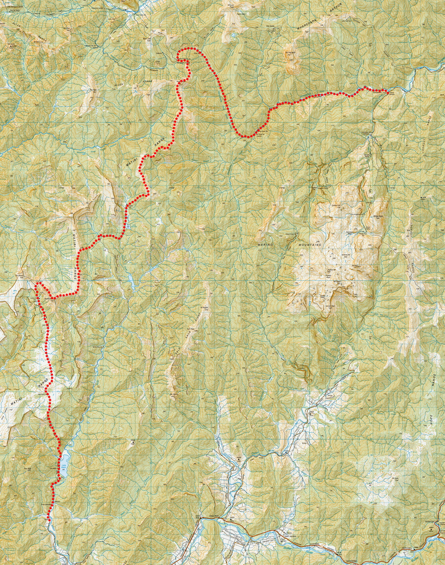
Tony assured me that I would be able to find The Needle in The Haystack easily. Well, he wasn’t wrong but the bush bash to get to The Haystack was legendary. Any trip with Tony, regardless of where you go, is always going to be an epic trip—I call it the ‘Tony Factor’ especially since when we go tramping together we always seem to have good weather and so much fun.
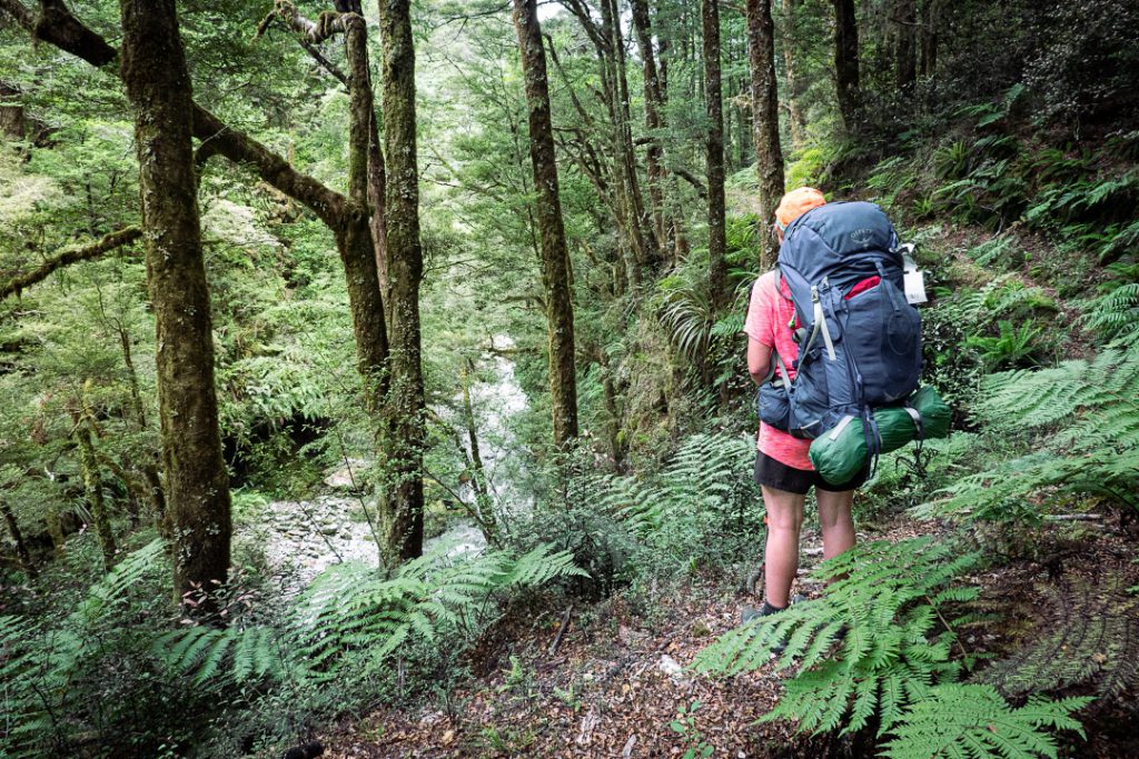
We went to our usual camping site at Onamalutu before we got a ride with Jennifer from Trips & Transfers to the Siberia Campsite. She had scones and freshly squeezed lemonade that made us wonder if we actually wanted to leave and wander into the bush for five days! After forcing ourselves to shoulder our tramping packs Tony nearly lost me in the carpark as I got distracted by a cute 12-week-old retriever puppy. As we wandered along to Kings Creek Hut I was keeping an eye out for whio—and just as we crossed the swing bridge before Kings Creek Hut two went floating down the Wangapeka River as we crossed on the bridge above! How’s that for impeccable timing! It was my first time seeing whio in the South Island so I was very excited. The historic Cecil Kings Hut was interesting to look at and still retains a lot of the original frame and furniture. There were a few cheeky weka wandering around at Kings Creek Hut and we heard that one unsuspecting tramper had already had some of their lunch stolen by one. Stone Hut was a busy place that night so Tony and I decided to camp outside. 21km, 5.5h, 695m elevation.
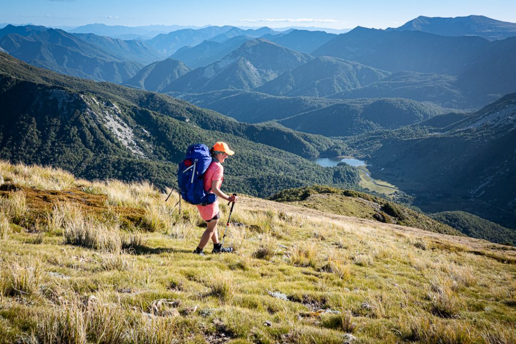
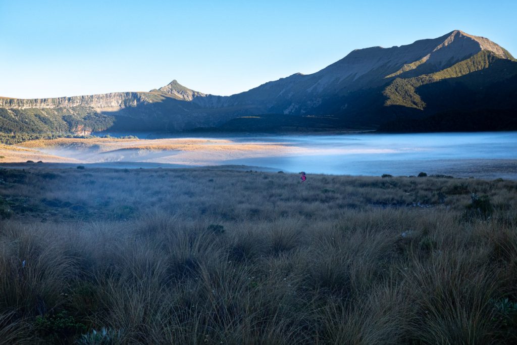
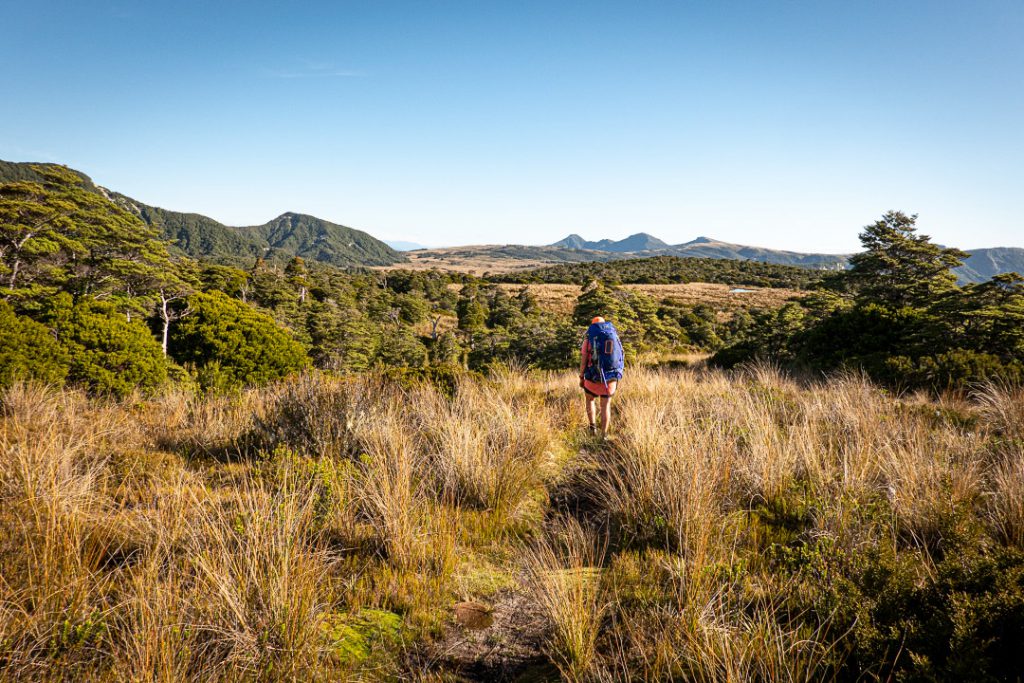
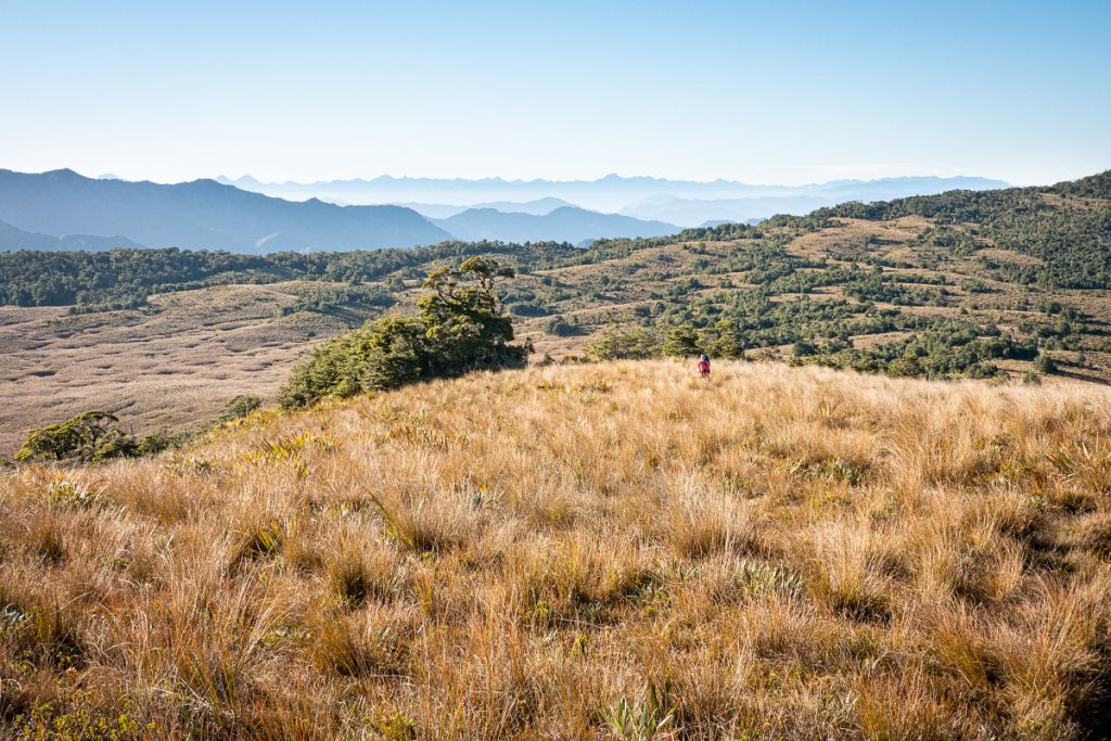
Before leaving our campsite at Stone Hut in the morning I saw two whio feeding in the river. I had also never seen whio flying before and for some reason I probably had just assumed they were flightless so when I saw them fly off I got a real surprise much to Tony’s amusement. At Wangapeka Saddle a friendly South Island robin sat on our walking poles while we took a break before beginning the steep climb up the Matiri Tops Route. We were leaving the Wangapeka Track now and this would be the last time we would see people until three days later. It was an absolutely stunning day on the Matiri Range and I could see for miles. It made me appreciate how vast Kahurangi National Park is and reminded me of how lucky we are in NZ to have access to such amazing places to tramp in. Once above the bushline the route is all unmarked.
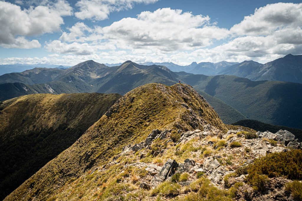
After Nugget Knob we continued along the Matiri Range—it was all above bushline except for two places where it went through two small patches of bush including one particularly beautiful stand of dracophyllum trees that sometimes had us playing a game of going under and over or squeezing through tight gaps between the trees. Right before the tarn near pt 1398 I had let Tony go ahead and was looking to find out which route he had taken when I thought I heard him calling me—it turned out it was only a weka trying to misdirect me (maybe weka are like the Ruahine Mountain Dolphins?) I was almost tempted to go for a swim in the tarn to cool off as it had been a very hot day—it was far bigger than I was expecting, maybe 100m length and 50m wide. Tony took a short cut across to get to the route down to Hurricane Hut while I felt obliged to pass through pt 1442 to complete the ridge. There is a poled route off this point that leads down to the bushline to Hurricane Hut but it isn’t signed which was a bit surprising.
The track initially passed through lovely dracophyllum trees again before becoming a bog that made for slow travel especially since it was overgrown and hard to see where we were putting our feet or how deep we would sink in with each step. I also kept telling Tony the hut was just around the next corner as I had wrongly got into my head that the hut was at around 900m elevation but it was actually at around 800m elevation. Oopps, sorry about all that tramper’s spin, Tony! 19k, 7.5h 1840m elevation.
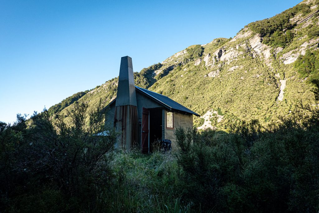
At Hurricane Hut that night I read multiple entries in the hut book of people who had done the off-track bush-bashing section from pt 1326 down to 736 and they all sounded a bit traumatised by it. I’m not a huge fan of really slow off-track travel that involves lots of bush bashing so I spent the entire night having nightmares about what we would be doing the next day. I think this may be the one time where my nightmare closely aligned with reality! That bush bash was most definitely Type 2 fun and will go down as legendary in our tramping history. The track from Hurricane Hut down to Lake Jeanette was meant to be the easy part of the day. Well, even that wasn’t easy as the track was pretty overgrown in places and sparsely marked. By Lake Jeanette, Tony and I couldn’t find the track whatsoever so we just took a bearing and bush bashed until we stumbled across to the track. Once back in the bush again it got easier. At pt 736 I resigned myself to the fact that we were doing the bush bash. It was extremely dense scrub that we were pushing through…. The pace initially wasn’t too bad and I thought we might have gotten lucky…. Yeah, I should have known it wouldn’t go down like that…!
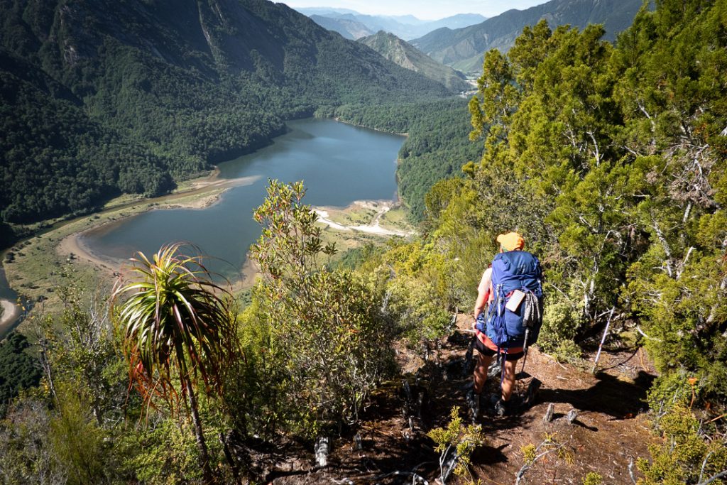
As we progressed up the spur our pace got slower and slower until it felt like we were barely moving. There were some places where it was almost vertical and it was easy to see why people had written about how they got bluffed out coming down. It was super-hot and tough going. I don’t own gaiters so my legs were getting ripped to shreds and each step was pure agony and I was spending the hours during the bush bash wondering why on earth I didn’t own gaiters. Tony had to do lots of encouraging—it’s the first time he has seen me definitely not a happy camper on a tramp. Amongst the torture of this bush bash there was a few bright spots—we had great views down back to Lake Jeanette and I saw numerous shells of the endangered powelliphanta snails. The final climb up this spur took forever when the top looked oh so close. I was smashing up thinking I was nearly there only to be benighted by impenetrable leatherwood and had to retreat back down and then start again by hauling myself up a different route on spaniards that were unforgiving monsters.
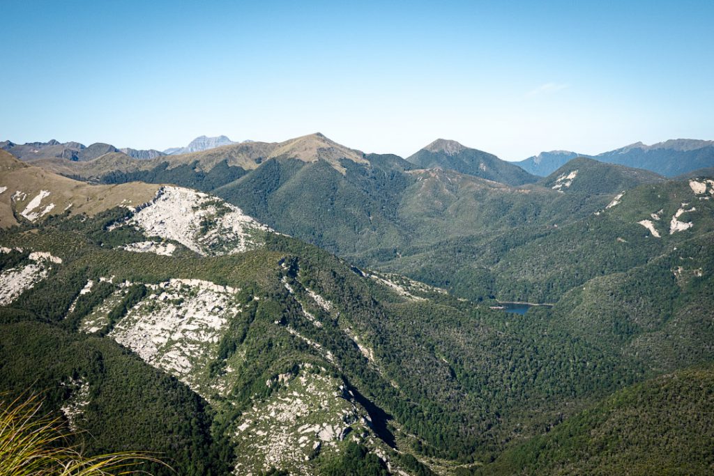
Once at the top I was doing a delighted dance while surveying my legs (they took over a week to heal!) Reality soon set in that we weren’t going to make it anywhere near Larrikin Creek Hut that had been our intended destination for the night, or even The Haystack and both of us were now low in water. I was trying to problem solve this while struggling through the tussock that also now felt painful when brushing against my trashed legs. I headed over to a clear flat grassy spot just under pt 1333 to give my legs a break and noticed the ground seemed a bit boggy. Tony noticed this too and dropped his bag and went searching—and as luck would have it we found a very small water source. Never have I been so grateful and to think we only found it because something had just drawn me over to that particular spot. With water sorted and such a perfect flat spot we decided to set up camp. We got to enjoy a lovely sunset from the comfort of our sleeping bags that night. Moving time 4 hrs (we were moving so slowly during the bush bash we weren’t recorded as actually moving on my watch!) but the actual elapsed time was 9h, 10k, 687m elevation.

On Day 4 we had a nice relaxed late start—enjoying the morning sun at our campsite. We climbed up to The Haystack for lunch having to be careful not to fall down the many tomo that were lurking everywhere before a rather gnarly scramble along the ridge. There were a few places which had decent exposure—not somewhere you would want to be in bad weather or poor visibility. Tony named one bit ‘Sarah’s Step’ after he saw me get a little stuck after I chose the wrong line up a rock face and realised I could not go up as I did not have enough to hold onto but coming back down also proved very tricky. He said it looked like I had it all under control but I said afterwards that my legs were shaking as I realised the precarious position I was in. Tony sent me for a solo trip up the The Needle to get views of the 100 Acre Plateau (also known as the Devils Dining Table) while he started down towards Larrikin Creek Hut.
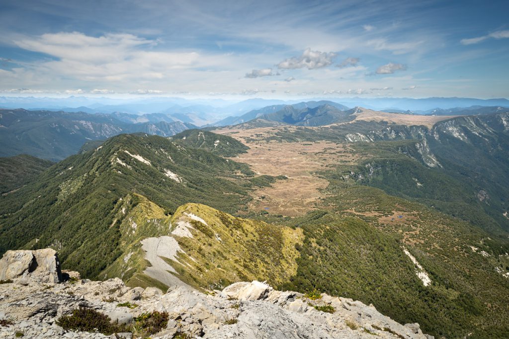
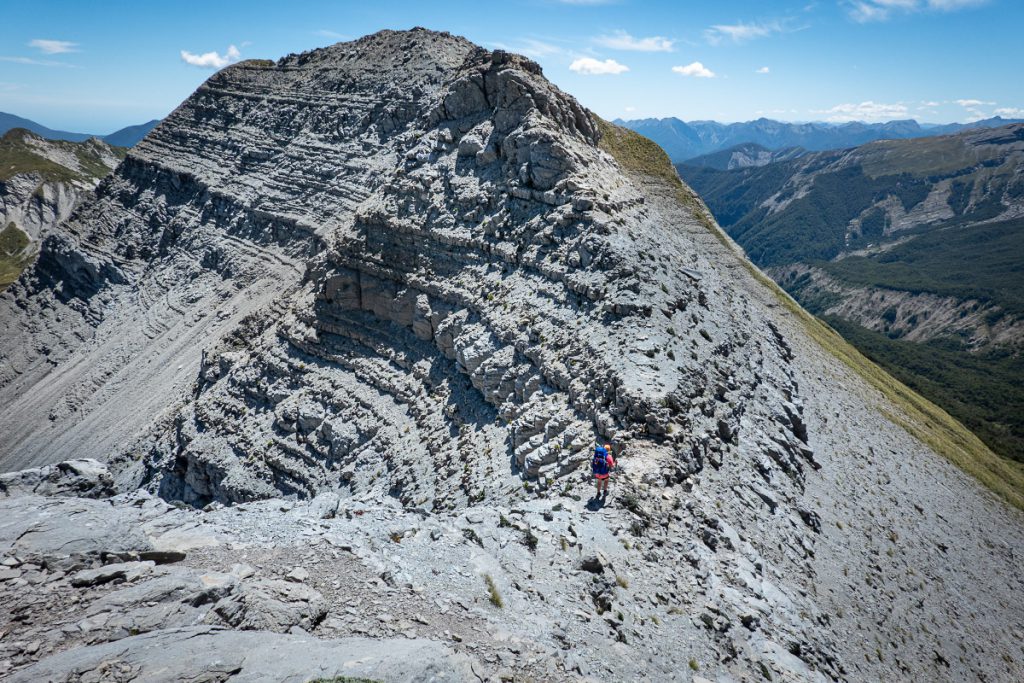
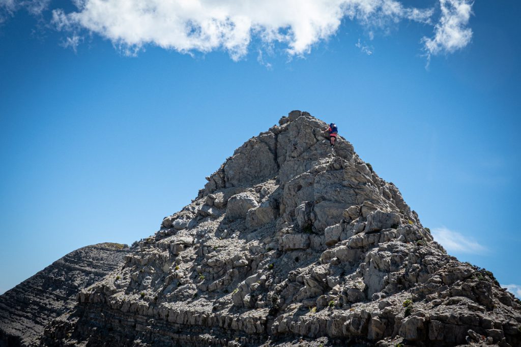
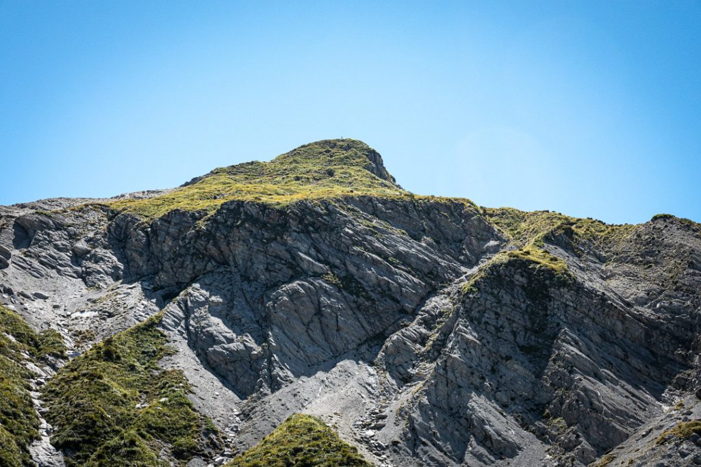
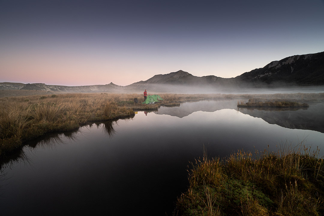
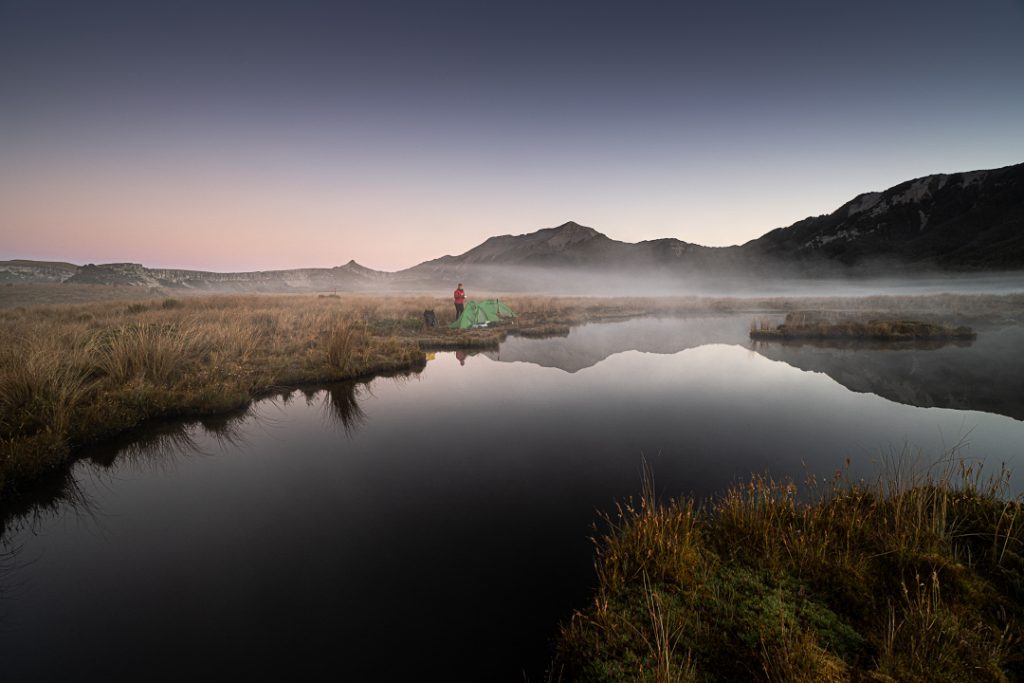
Initially I was keen to go all the way to Poor Pete’s Hut due to our pick-up time the next day but Tony had a much better idea of camping on the 1000 Acre Plateau. He remembered from a previous trip years ago a reflective tarn and though it would be a nice place to camp. We set up camp right next to the tarn complete with a ‘beachside view’ as Tony termed it. The tarn was lovely especially since we got reflections of both The Haystack and The Needle in it. Tony was hoping to fall asleep listening to frogs that night—at first we only had weka and I teased Tony that the weka was calling out to round up all his mates to do a sneak attack on us. Eventually the weka wore themselves out and a chorus of frogs began. 14k, 8h, 775m elevation.
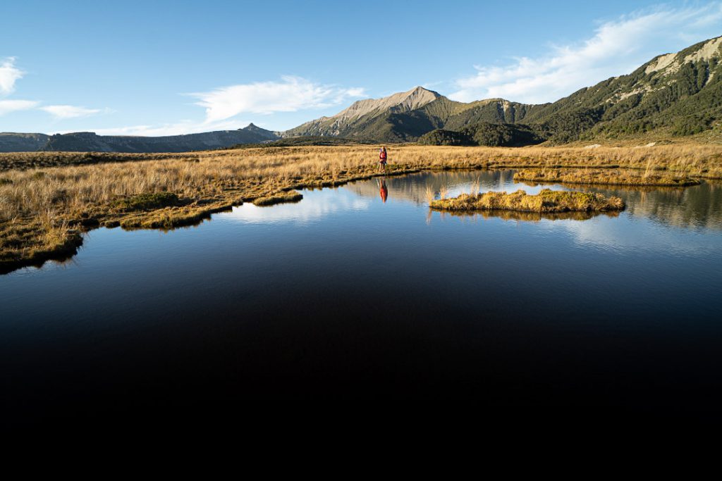
Waking up on our campsite on the 1000 Acre Plateau on our last day we were greeted with low hanging clag and a bit of frost on the tent before the sun finally emerged to warm us up on our way to Poor Pete’s Hut. Poor Pete’s is a cute and tidy little hut—from above it looks like a child’s tree house. We then started the descent to Lake Matiri Hut. There were a fair few wasps hanging around the beech trees and after I walked past one particular tree a cloud of wasps emerged on the track in front of Tony who was behind me. Tony had to wait a few minutes for them all to settle down again before he could continue.
After reaching Lake Matiri Hut it was now time to go in search of a red button to push. The Matiri hydroelectricity scheme is currently being built in the area so Pioneer Energy had a little hut that you had to radio through with your intentions for safety when travelling through the area. There was a road you could walk down but the lovely site manager was transporting most trampers up and down the road in his big 4WD truck. We had met a couple also walking out just before Lake Matiri Hut so they went ahead and pushed the button for us all and by the time we emerged a few minutes later the Pioneer Energy site manager was there ready to give us a ride to the roadend. Not only did he do this but he also gave us a full site tour—the control gates, and recently completed power house. I have to say it is pretty impressive the work they have done there, —and they have made the pipes as unobtrusive as possible and are planting a whole lot of native trees as the project is completed. 10.5k, 3h, 314m elevation to end a wonderful trip.😎
For more photos go to tararuaphotos.com ⇛ Other tramping photos

