
DOC promote this Great Walk as a 3-4 day tramp with two or three overnight stays (Mangatepopo, Oturere, Waihohonu Huts) for good reason. The scenery is exceptional. Alternatively, it can be walked in two days with each day at least 8 hours. However, the Northern Circuit in a day is possible. Trail runners run it too.
I have walked this track in both directions. Walking anti-clockwise means reaching the Tongariro Alpine Crossing (TAC) track early afternoon – after the masses of TAC walkers have passed the Emerald Lakes where the Northern Circuit track meets the TAC. However, in these global pandemic times, with our border currently closed to overseas tourists, I decided to walk it clockwise. I was banking on fewer TAC walkers on the section from Mangatepopo Hut up to Red Crater. I guessed correctly. There were not many walkers heading up the Mangatepopo valley when I reached it at 9 am. This meant overtaking on the narrower sections up to South Crater was no problem.
The following is to share with those interested in this day walk an idea of what to expect. Note: It is a hard day’s walk. Fitness is essential.
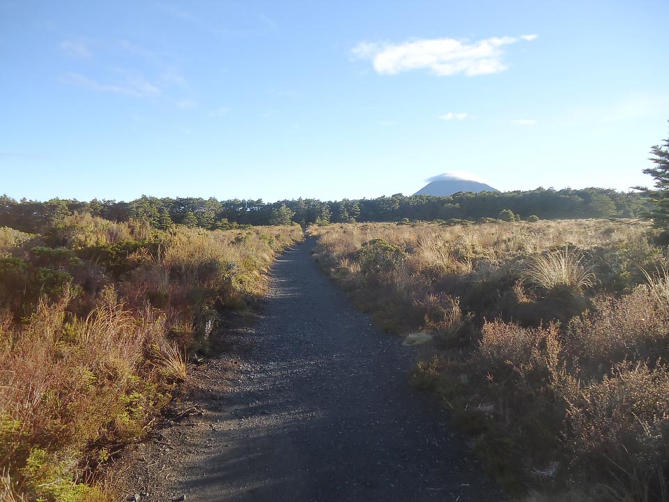
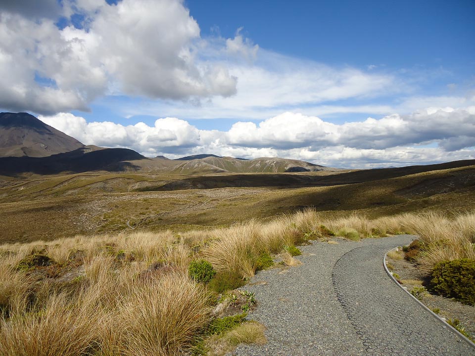
Section 1: Whakapapa Village to Mangatepopo Hut (9 km. Ascent 404 m / descent 265 m)
For the most part this is an easy undulating section. What might make it a challenge is how wet the track is. For this trip it was dry so travelling time along it was good.
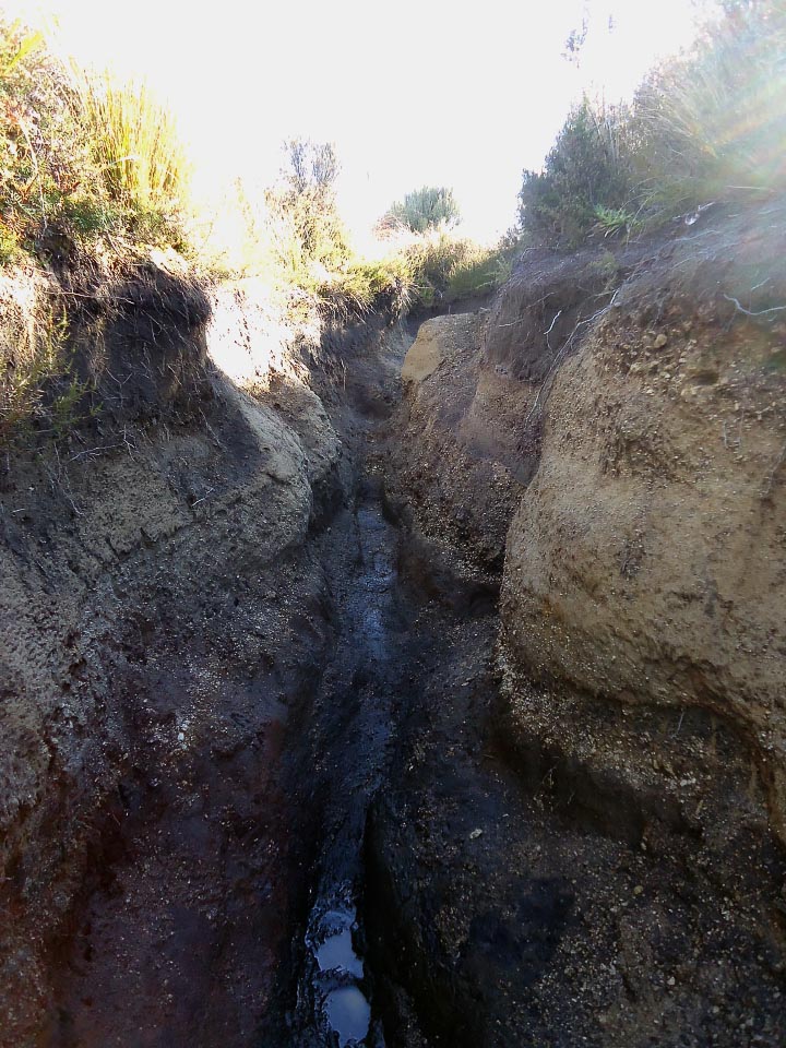
From a pile of wood near the start, it looks like recent improvements have been made to this section of the track but there remain some severely eroded banks further on. None are too tricky though. The DOC sign says this section can take three to five hours (carrying an overnight pack). The latter time reflects wet weather, boggy patches, and a higher volume of water in the creeks. When it has not been raining heavily, the creeks are an easy step over.
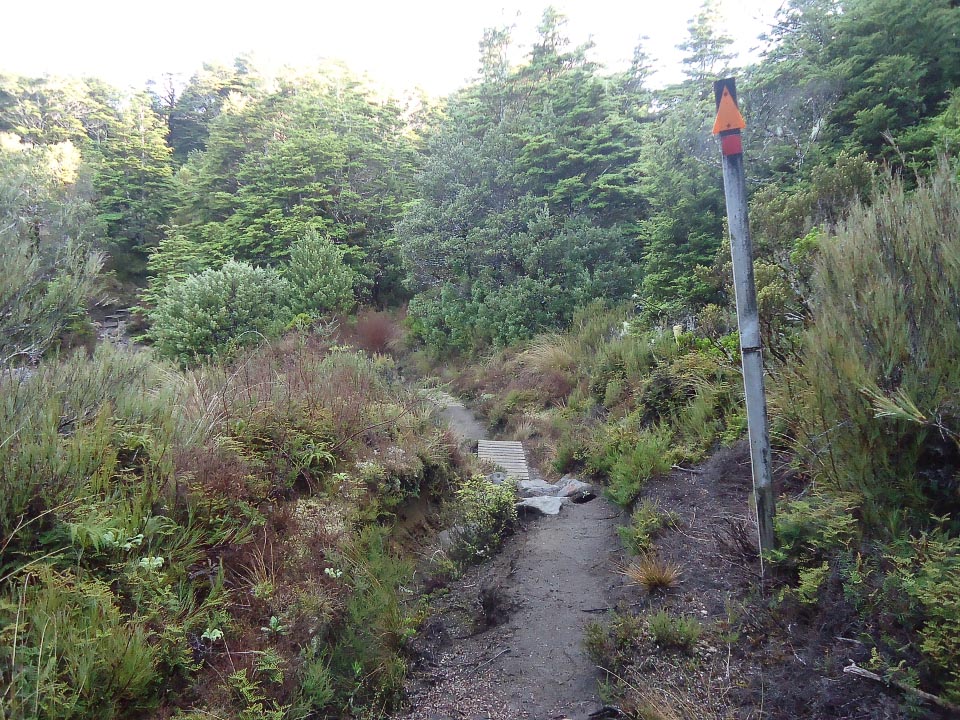
This section takes us between two significant features as we get closer to Mangatepopo valley. Pukekaikore on the right and Pukeonake on the left. The track meets the Tongariro Alpine Crossing (TAC) track 5 minutes down from Mangatepopo Hut (where you can log your intentions into the hut book and refill your water bottle).
As a trail run, this first leg is good. For the most part it is runnable.
Section 2: Mangetepopo Hut to Oturere Hut (12 km. Ascent 724 m / descent 557 m)
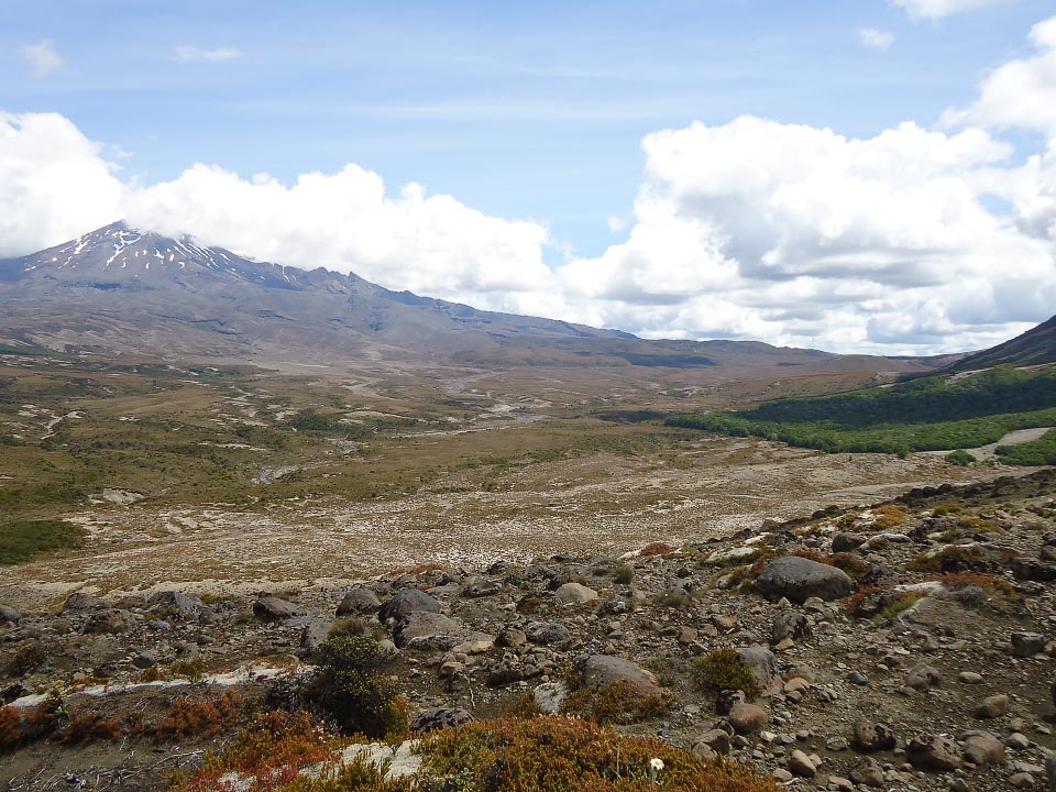
This is my favourite section of the walk given how much the terrain changes over only 12 km. From Mangatepopo Hut, the track follows the Mangatepopo stream up the valley.
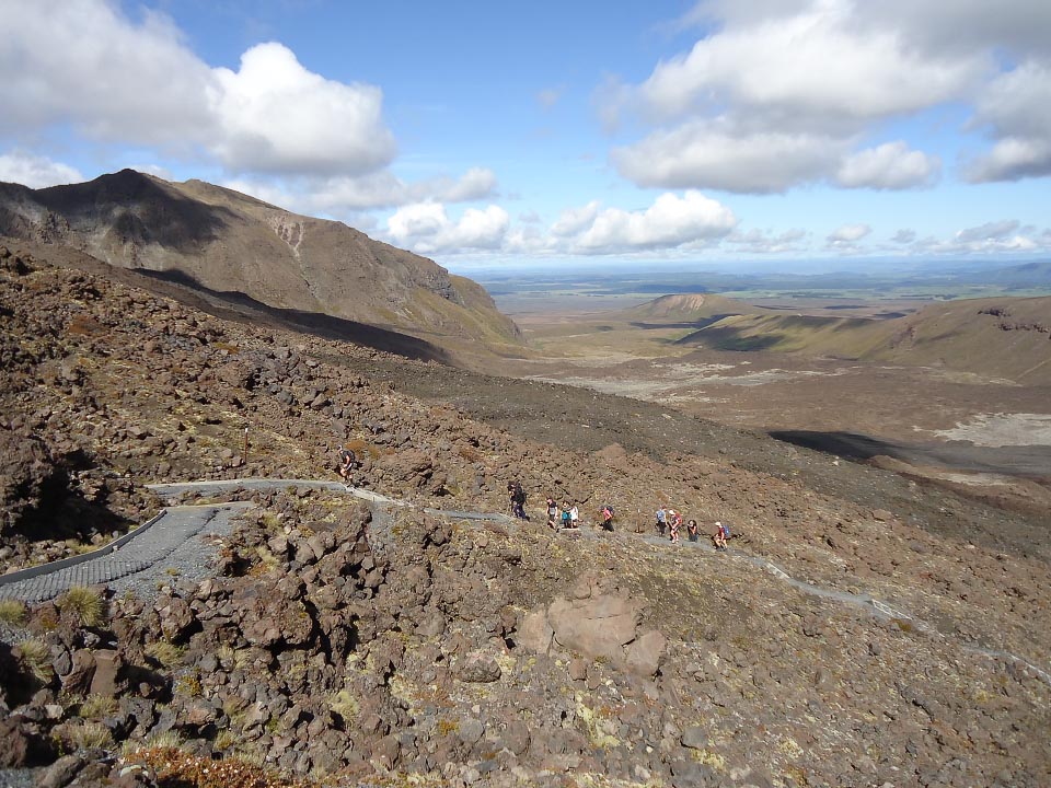
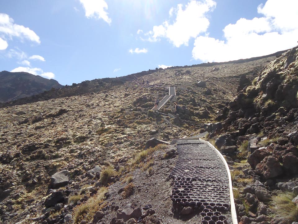
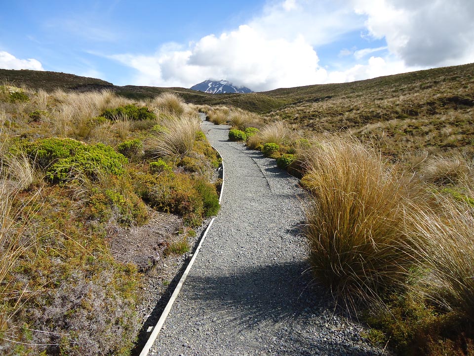
There is then the first of two big climbs. This first one takes you from Mangatepopo Valley up to South Crater under the gaze of Mt Ngauruhoe (it is a good path compared to the ‘Devil’s staircase’ route I recall when I first walked this track some time ago). The path zig zags a bit for the first half of the climb but then evens out as it sidles up towards the Mangatepopo Saddle. I consider this climb the toughest section of the walk. It’s not all steep but does need plenty of puff.
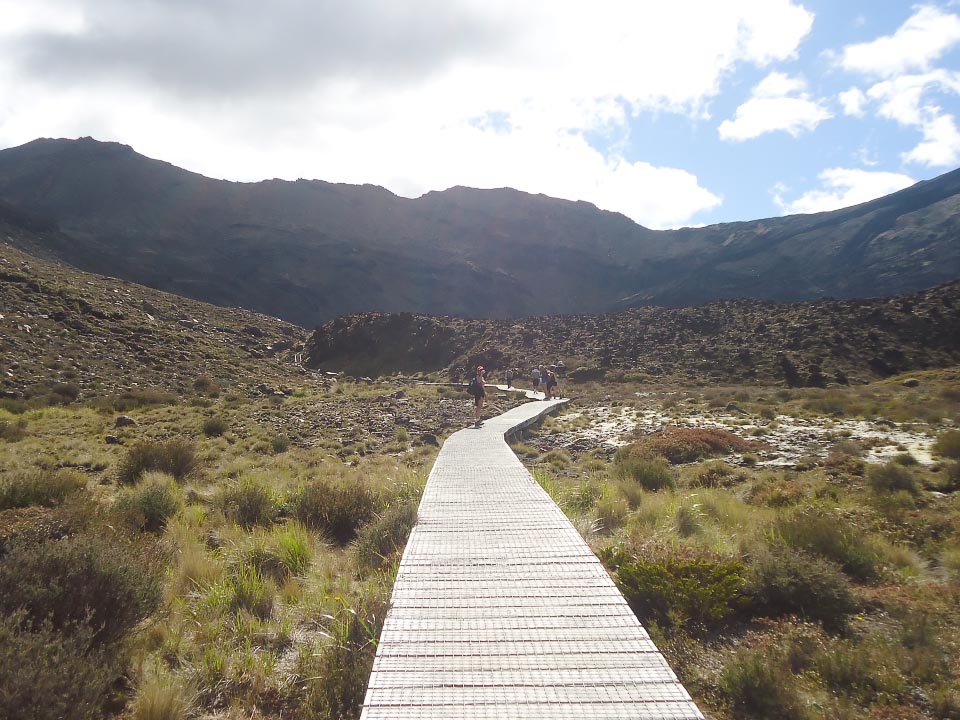
Once up and over the saddle, it is an easy stride across the flat South Crater. If the weather is not good, this is where you might want to turn back as the climb up and past Red Crater is very exposed and care is needed.
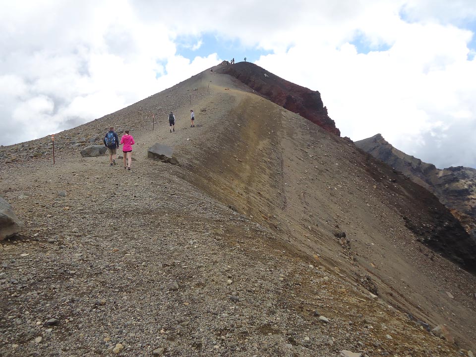
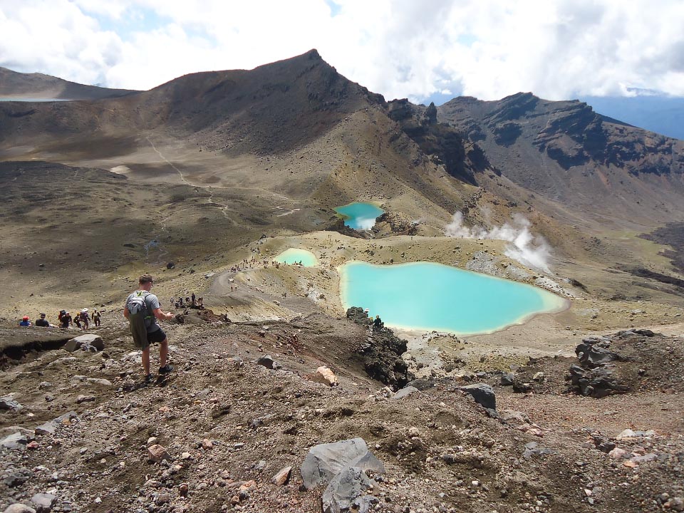
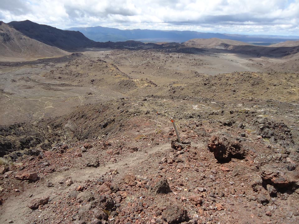
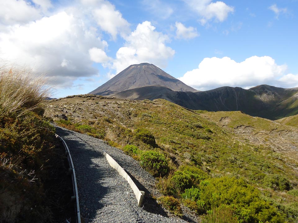
The second big climb, up to Red Crater, offers stunning views of the Oturere Valley, Kaimanawa Range and Rangipo Desert. From this high point (approx 1870 m) you can peer into Red Crater from its Northern rim. The spectacular 360-degree views include the North and Central Craters, Blue Lake, and the Emerald Lakes. The chain to help pull yourself up a craggy section out of South Crater is no longer there, nor required. The deviation to the track allowing this is unnoticeable.
From Red Crater’s rim, it is downhill. First, some gentle sliding down the scoria-covered ridge to Emerald Lakes. Some track users find this slope intimidating due to the loose surface or the steepness. Taking it slow, if you need to, will get you safely down to the lakes.
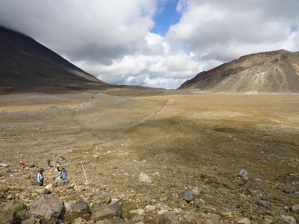
Turn off the TAC at the Southern end of Central Crater. The track junction is clearly signposted. The Northern Circuit track descends steeply down an old lava flow into Oturere Valley. Once on the valley floor, it is an easy walk (or run) across to Oturere Hut. (If you are old enough to remember the original Lost in Space, you might imagine Will Robinson, or the Robot suddenly pop out from behind one of the many rock forms at the far end of this mystical and moon-like valley.)
There are three good legs for trail running in this section. Along the Mangatepopo valley, traversing the South Crater and then across the Oturere valley floor. The two climbs, up out of Mangatepopo Valley to South Crater and up to the high point above Red Crater, provide ‘fast hiking’ ground.
Section 3: Oturere Hut to Waihohonu Hut (8 km. Ascent 276 m / descent 533 m)
This section will likely be the most peaceful but also the most isolated. The TAC is now some distance behind you.
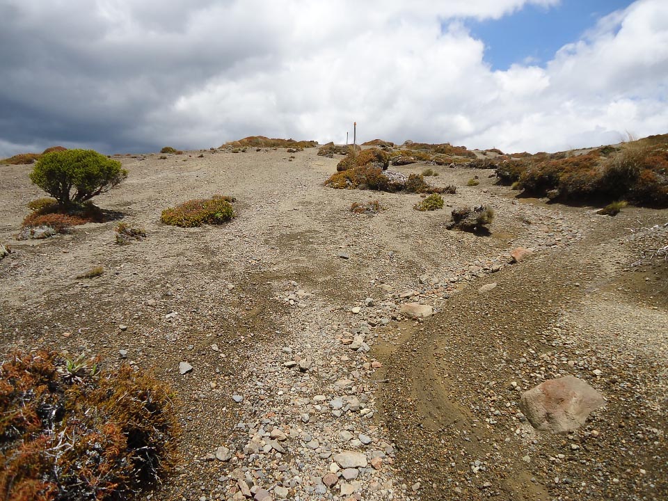
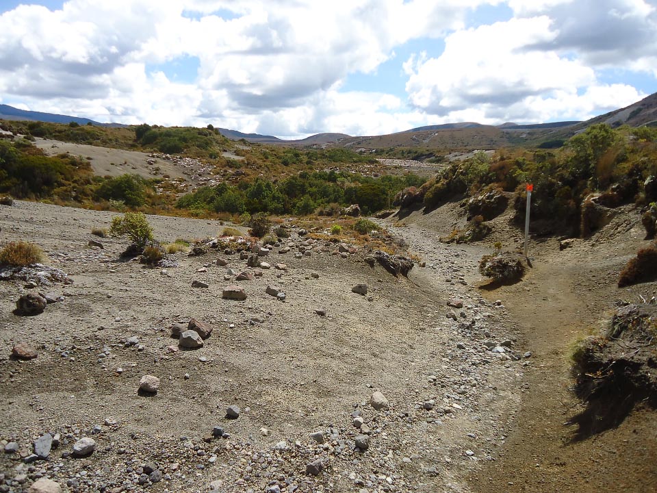
Except for a short descent into a stream valley (and up out of it) 10 minutes after leaving Oturere Hut and another 20 minutes before reaching Waihohonu Hut, this section sidles the SE side of Ngauruhoe over undulating gravel ground.
There is minimal runnable surface during between these two huts. Most of this section is gravel and if it is not a thin layer and easy to slide, then it is deep and sinky. But the last kilometre or two, from the bush clad valley stream 20 minutes out from Waihohonu, offers good running hill work.
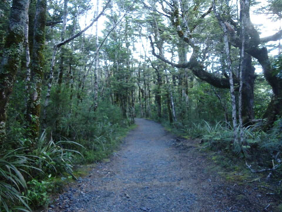
Section 4: Waihohonu Hut to Whakapapa Village (15 km. Ascent 459 m / descent 421 m)
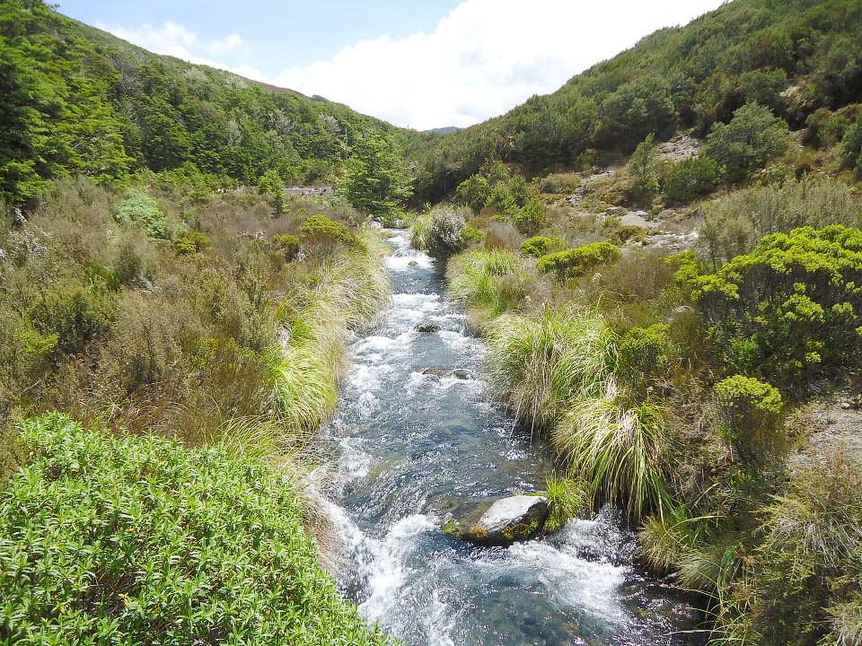
The home stretch. The track now follows the Waihohonu stream (true right) to the West, gradually climbing up to Tama Saddle. This section will take you past the track junction to Tama Lakes (another whole day of exploring can be found around these lakes) and then onto Taranaki falls.
Whakapapa Village is less than an hour from Taranaki Falls. If your feet are up to it, the lower track from the falls is the more scenic option alongside the Wairere stream through lovely beech forest but is a little longer and more undulating than the upper track. The upper track has a good path but is metal so a bit hard on the feet after a long day.
This final leg is completely runnable. It is part of the Tussock Traverse trail race.
Total distance: 44 km. Ascent/descent: being a loop route both were around 1,800 m.
Did this a few years ago now…totally do able. But make no bones, the weather & your fitness must be perfect. Its a long day. Started at 0530 & finished at 1930…with two 1 hour breaks. 12hrs of tramping. Good luck
Great info and comforting to know you can do it in a day. I have been planning to do it in March (2022) now that the Tussock Traverse is cancelled. So its good to read others experiences.
I’m glad you enjoyed the report, Martin. I think the variety in terrain makes it akin to a shorter version of the round the mountain (Ruapehu) track but without a big dip (like the Waihianoa gorge). It’s too bad about this year’s Tussock Traverse (even more so for the ROF) but enjoy the circuit as an alternative activity.
Thanks Mike. This is a good day trip using the club’s Ruapehu lodge as a base – a place to recover in comfort. Hopefully ‘Summer Lodge’ will operate again next summer.
Good info here and well written. I’ve always wanted to run it, but didn’t realize it could be done in a day. I’ve done the Crossing multiple times but have yet to do the circuit. Cheers!