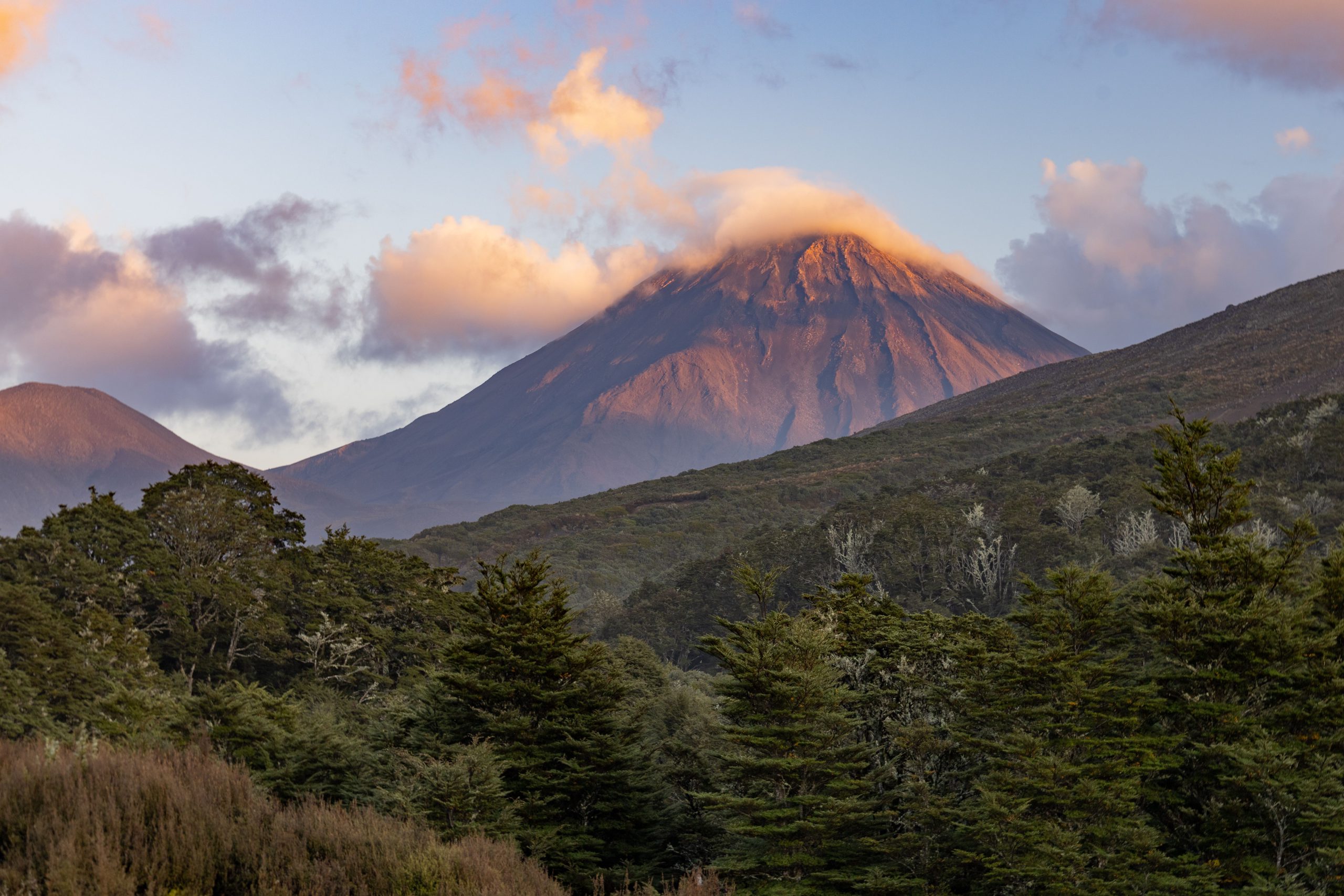
Not a great walk, but an epic one!
You know you are up for an incredible weekend when you have a smooth drive out from Wellington, enjoy a primo kebab a la Bulls (OMG those chips and Iskenders), and instantly connect with a bunch of awesome people from the get-go! This weekend was no exception. This was the weekend to do the Tongariro Northern Circuit in Tongariro National Park, not in four days, three days, or two days – but in a day and ½! (Yep, I’m showing off again team, sorry!).
After kebabs were devoured, we all avidly checked all 4 weather forecast sites in an attempt to cast away any bad weather juju, hoping that the forecasted thunderstorms and afternoon rain predicted for Saturday was not to be. As we had hoped, the forecast was looking better and better and we made our way to the WTMC Lodge for a night of luxury, with full bellies and excitement abounding.
Impressive things # 1: how many ice creams Dan could eat despite “not being that hungry”.
Day One: Chateau to Waihohonu Hut
Stats:
- Time tramping: 12 hours
- Distance covered: 31km
- Elevation gain: 1380m
- Descent 1393m
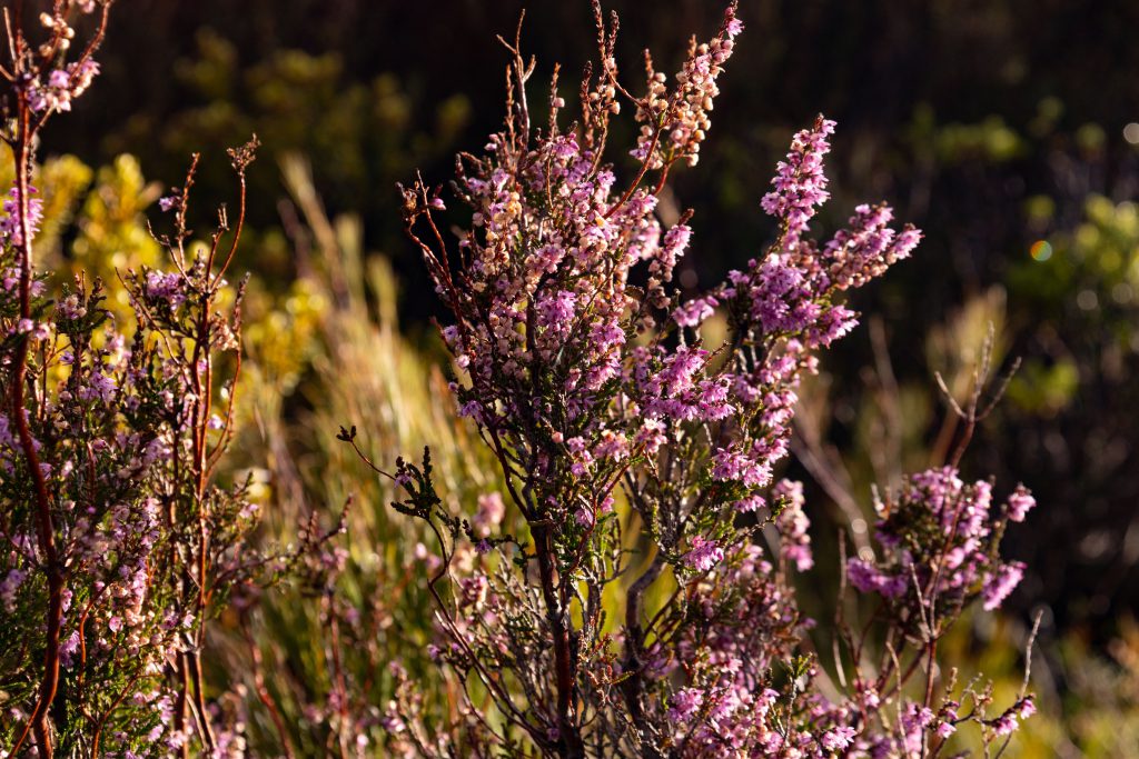
We started at just after 7.30 am on Saturday morning, having been kindly dropped off at the start of the track near the Chateau by Jane (thanks Jane, Rory, and Elizabeth). As we said Sayonara to our easy-medium friends, we headed out to an impressively graded, wonderfully “uppy-downy” boardwalk clad track, taking us past two peaks on the left (which we worked out was Pukeonake), to our first hut (Mangatepopo); the start of the Tongariro Crossing. This was a really great lead-in to a long day. An easy peasy pace to get the legs going, as we swished past beautiful purple alpine heather, golden tussock, velvet hills reaching all the way to the basalt peak of Pukekaikiore (the first big peak near Mangatepopo Hut).
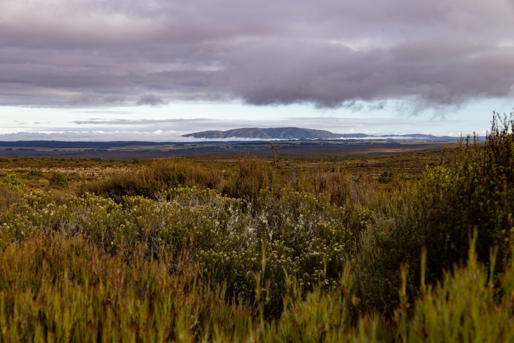
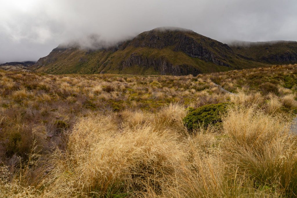
The lenticular clouds above Mt Ngāuruhoe were a reminder that we really didn’t know what the weather would hold for the day, but we were excited to find out. Arriving at Mangatepopo Hut after just under 3 hours (arrival time 10.20am) we had a rest and some food and chatted with the warden, who was sweeping out the hut after a raucous group had stayed the night before. One of my enduring memories of this part of the tramp was that beautiful purple alpine heather (I think the proper name is Purple Harabebe – which is a type of introduced European Heather).
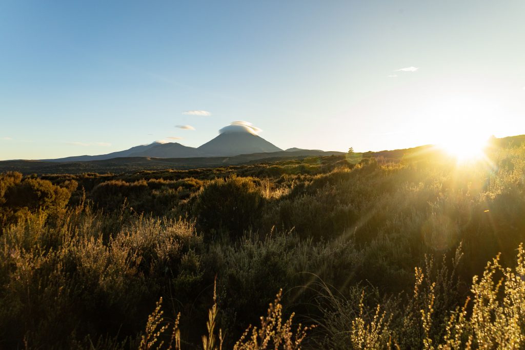
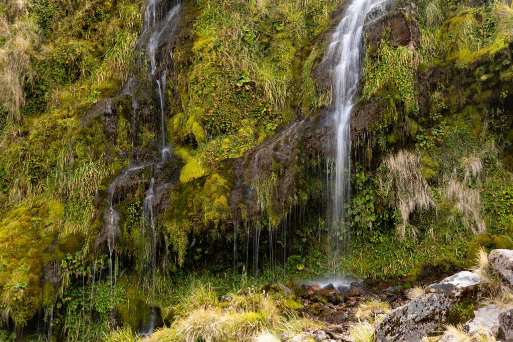
After leaving Mangatepopo Hut (around 10.40am-ish) we were soon on the Tongariro Crossing, the start of Tash excitement level at DEFCON 10! Tash’s excitement grew with each step of that Crossing, which made an already fun trip even more sensational! As we crossed onto the board walk beneath a towering Mt Ngāuruhoe, he kindly obliged us by taking off his cloud hat and proudly showing his grandeur. Every information board educating us about volcano trivia was devoured with gusto (we learned all about pyroclastic rocks and how the eruption had created this incredible volcanic Mars-on-Earth). We approached Soda Springs around 11.30am and sprinted across to the small waterfall.
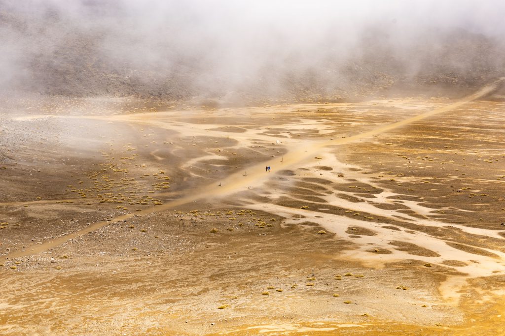
And then it was up, up, and up! The steep climb known as Te Arawhata, required to reach the Mangatepopo saddle, climbs to the first “high point” of the Crossing. We reached South Crater at around 12.30pm (at 1650 metres elevation). It is hard to describe in words what it’s like crossing into the lunar landscape of South Crater (there just doesn’t seem to be the right word!). It’s just an incredibly otherworldly, awe inspiring lunar-like landscape that is unlike anywhere else in New Zealand.

We crossed the lunar plateau quickly, deciding to get up to the start of the ridge that ascends red crater to have lunch (jeepers if we thought that vista was hard to beat, wait just a second!!!). We perched on a sheltering rock, cracked open the Farrah’s (wraps) and sat with awe as we looked down into the other side of the volcanic valley (a cross between Mars and Utah). As we lunched, we saw the clouds roll in and felt a spit of rain, so we decided to get up and get going! (As it turned out, we needn’t have worried about the weather “turning”, as it was literally a passing bit of cloud that came and then went!).
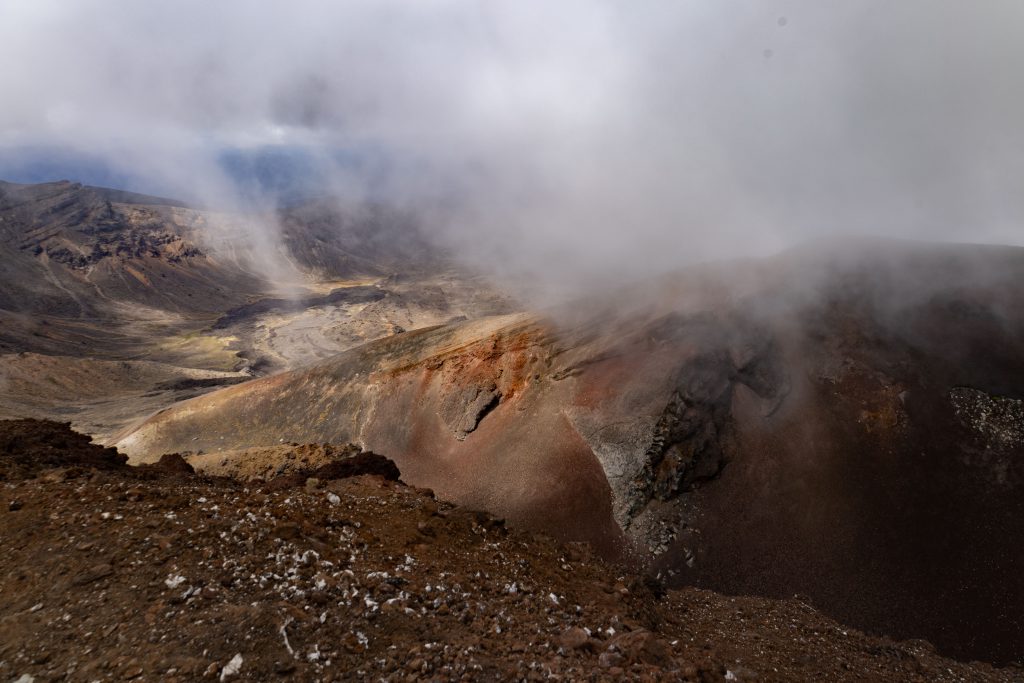
As we ascended the very steep gravel/scree ridge up to Red Crater, we passed the track to the Mt Tongariro summit on the left, and reached the high point (1886 metres) at around 2pm. The red of the iron oxide clad crater and that impressively “unique” geological feature didn’t fail to raise a chuckle from the group as we took a wonderful selfie next to the large cairn mound.
Then it was time to descend to Ngā Rotopounamu (Emerald Lakes)…….If we thought Tash was excited before…..boy oh boy…. “Off the charts thrilled” possibly captures it adequately. To quote “oh my god you guys, I’m like a pig in S**T” brings a smile to my face every time I remember that scree running descent. No sooner than I had chuckled at Dan having slipped on his bottom, there I went too (you’d be pretty slow coming down without decent grips and boots here). Once the track becomes less steep, however, you can descend pretty efficiently, with a bit of scree running. In the distance we spotted Te Wai Whakaata o te Rangihīroa (Blue Lake) as the clouds shrouded the landscape with the mystical eeriness of another world.
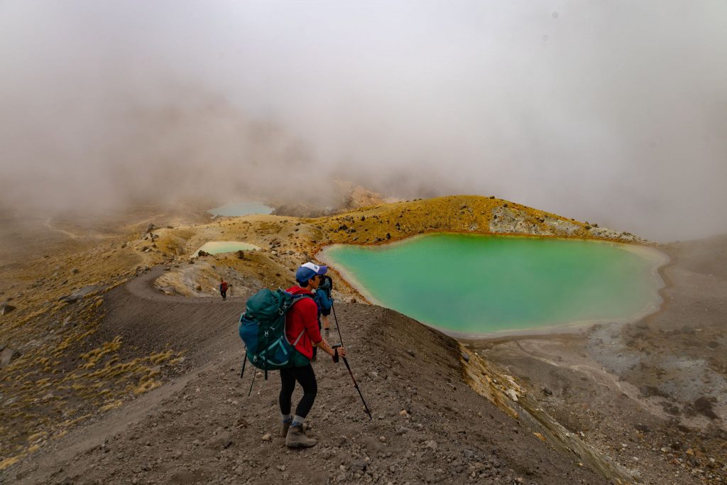
A million photos were taken while Tash and Amy went off to take a closer look at the water and the rest of us chilled for a bit by a rock (I won’t describe what also greeted us at that rock, let’s just say it was of human origin and made us pretty disgusted). As the board walk stretched north to the end of the Tongariro Crossing, the junction signalled east to Oturere Hut – and the next leg of our adventure was reached at 2.40pm.
Moving East, a further descent down a rocky track led to yet another volcanic panorama and the Oturere Valley. A brief rain shower, a rainbow, intense sun, and another rain shower meant rain jackets came off, and on again a few times. As we ventured on, the view was again dominated by Mt Ngāuruhoe. This time his Eastern side, and some impressive and unique geological landscape.
Fumaroles spat out sulfur gas as the track passed through some impressive laval rock formations. Dan saw a squirrel in one of the rocks, which we took some time to check out. Ultimately agreeing that it could have been anything, but we humoured him along, because, well, he’s awesome. The next part of the walk was easy – sauntering through a sandy volcanic bed flanked by more rock pillars. We had been incredibly lucky with the weather, considering we were in for rain that afternoon. Later we realized that it probably did rain on the other side of the Crossing, but those local weather patterns common to the mountain environment meant we were spared – thanks Mountain Gods.
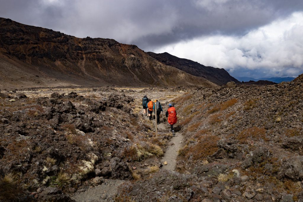
We reached the party-like atmosphere at Oturere Hut at around 3.30pm, where we had a very civilized cup of tea, food, water and a sunscreen top up. I was particularly envious of the trio enjoying a 3L box of red wine. However, for us, our destination for the night was still a few hours away and we still had work to do!……onwards!
Leaving Oturere Hut around 4.30pm, the final leg of our tramp was underway. As the sun lowered in the sky, and our faces bathed in gold, we passed over open scree fields, up and down steps, and started to drop down to the bush line. This, we knew, signalled our approach to Waihohonu Hut – which was near, but oh-so-far-away still! In fact, there was a very grunty climb, of about 100 metres, through a very stifling forest, up and over a hill, with a descent down to Waihohonu Hut.
Even from here, you could hear the raucous laughter of its very happy occupants (we all assumed they were having a fun warden talk). The relief and joy to see our destination, after 12 hours of tramping, is one of those unparalleled thrills that a long satisfying tramping day gives you. We reached the Hut after just under 12 hours, at around 7.30pm. A soak in the river was a welcome first job after dumping bags. What an incredible day it had been. Dinner was expertly cooked by Tash and Tracy. An incredible Italian-Korean medley of mushrooms and Korean tofu pasta. I had 3 serves it was so good and Amy polished the rest off for breakfast the next day. Tucked up in bed by 9pm, in a very hot and busy hut, with full bellies, and happy souls!
Day Two: Waihohonu Hut to track end (Chateau)
- Time tramping: Nearly 5.5 hours
- Distance covered: 15km
- Elevation gain: 490m
- Descent: 492m
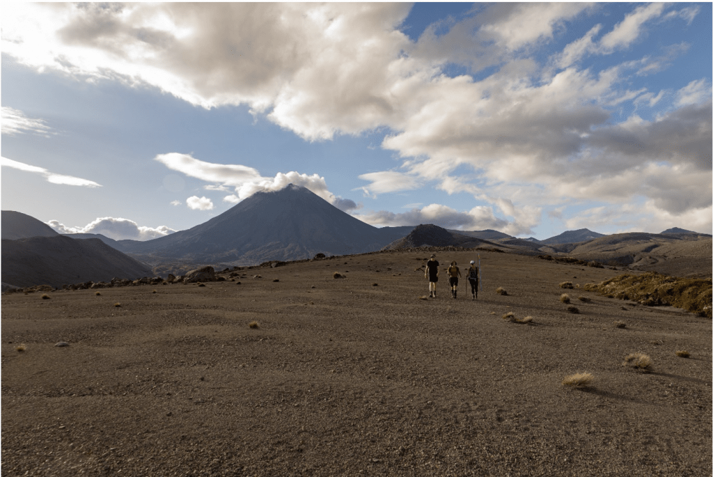
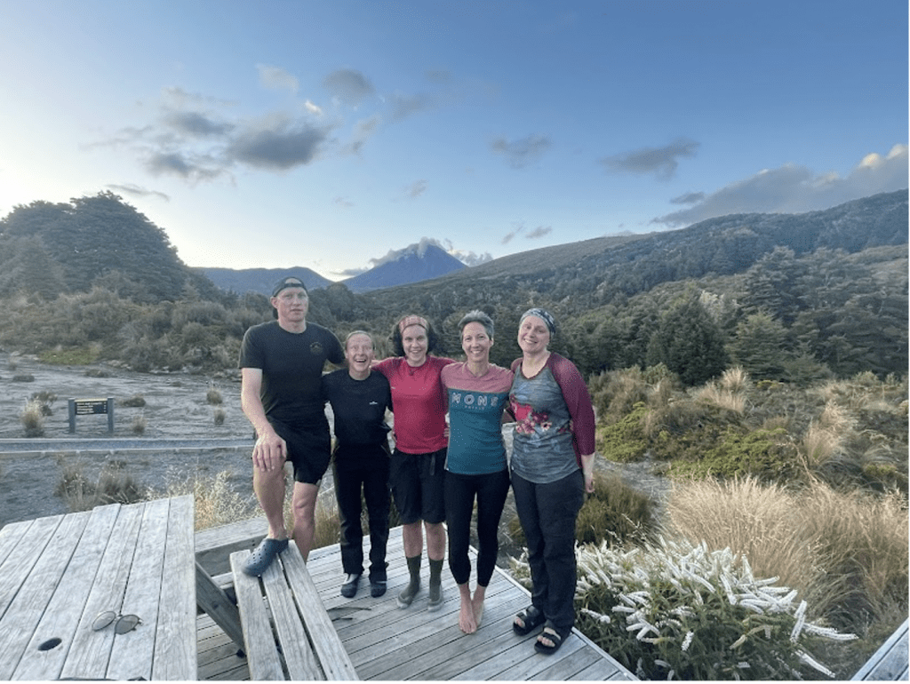
The day’s sunrise over Mount Ruapehu was remarkable as we set off at around 8.30am for our return to the van. The start to the day was leisurely – eating breakfast and trying different packs on. All of us relieved to be having an easy trip back to the van and the rest of the group. After 5 minutes on the track from Waihohonu Hut, we reached the junction to the historic old Waihohonu Hut. This picture-perfect red hut has been lovingly restored back to its former glory. Inside, we were surprised to see ladies had separate sleeping quarters from the men – and only the men had the luxury of a fire place.
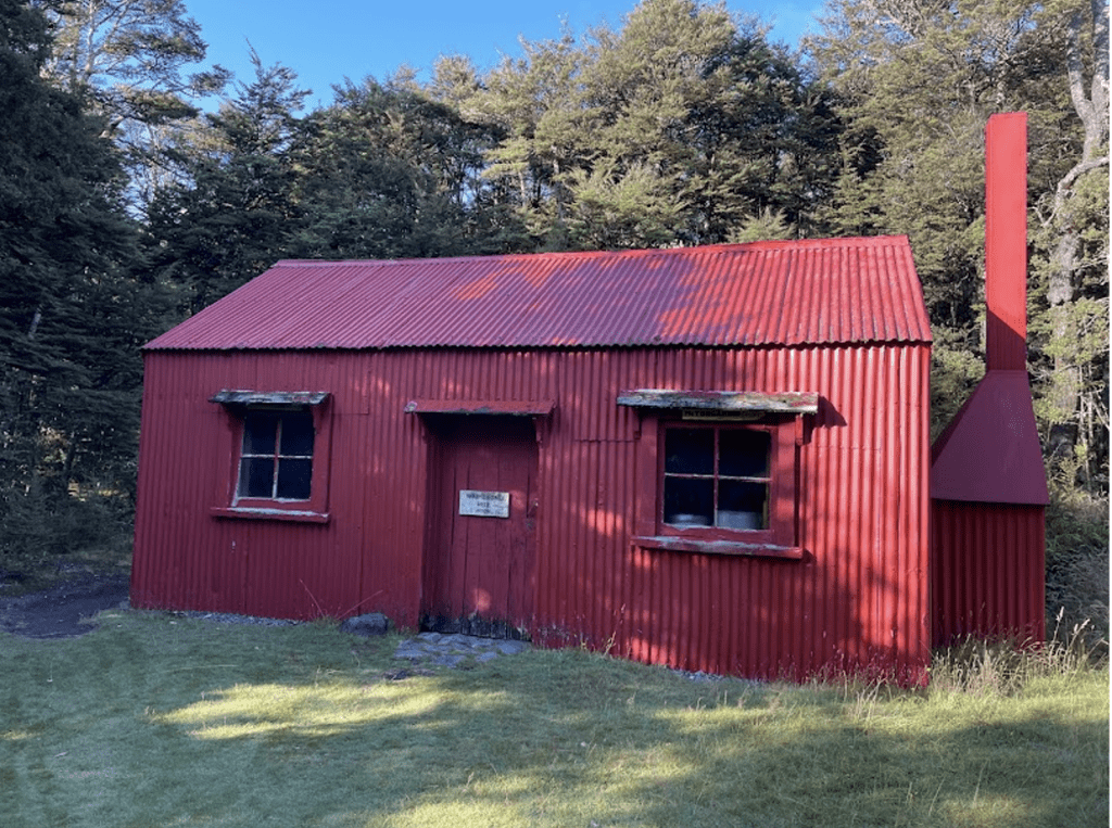
After yesterday’s mammoth challenge, we were definitely feeling it and it was nice to amble back! The track meandered over tussocky desert plains, as we headed up and over the Tama saddle towards Tama Lakes. The sky had a definite foreboding, with the grey drama contrasting with the golden morning light cast on the hills. When we reached Lower Tama Lake, Tash and Amy decided to go and have a look while the rest of us rested. We continued on the track and had lunch at Taranaki Falls at around 12.30pm (more Farrah’s!). Our trip reaching its finale at the Chateau, at around 1.30pm.
Initially it was a slow drive back to Wellington, as we had to divert through Rangipo Desert because of a traffic accident. This did not dampen our enthusiasm for multiple ice creams on the way home, and we reached a wet and cold Wellington at around 6.30 pm.
This was an incredible trip – all of it. The trail, the diverse volcanic landscape, the group, the food, the huts, the drive….all of it one amazing experience after another. This trip will certainly be one that I will remember for a very long time. To summarise; it was an epically incredible, awe inspiring, great walk and we feel lucky to have experienced this spectacular treasured area and Taonga of the Ko Ngāti Tuwharetoa te iwi Ngāti Tuwharetoa.

