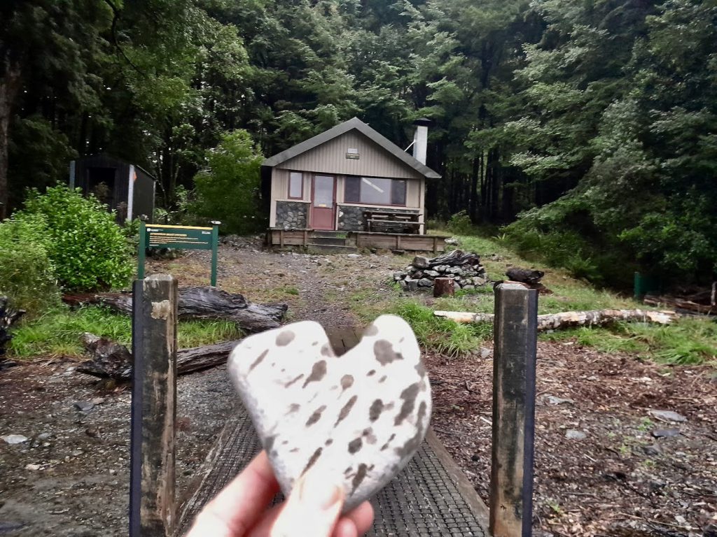
Summary
Day 1: Boyle Village – Magdalen Hut
Day 2: To Waiau Hut via Boyle Flat, Rokeby, Anne and Lake Guyon Huts (side trip)
Day 3: To Blue Lake Hut
Day 4: To Upper Travers Hut via West Sabine Hut
Day 5: To Cupola Hut
Day 6: To Coldwater Hut via John Tait & Hopeless Huts (side trip)
Day 7: To St Arnaud via Whisky Falls track (alternative route as original plan had been to cross the Travers River to Lakehead Hut)
Distance 162km, elevation 6,094m
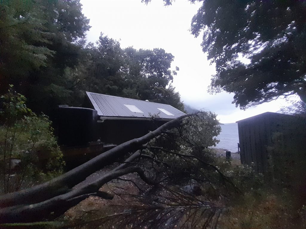
I jump away from the bench where I am cooking dinner in fright, unsure of what has just happened. The inside of the hut suddenly goes a bit darker. I’m confused and suddenly a bit nervous. What has just happened? Have aliens just landed in a spaceship on the roof of the hut? or are a pack of dinosaurs using the roof as a trampoline? I’m the only person in the hut for the night, so of course my imagination goes wild with possibilities. No matter how ridiculous they may seem. I then realise the window is now blocked by a tree that wasn’t there a minute ago. A tree has just fallen down and narrowly missed me and the hut. A lazy tree that suddenly decided it had enough of being vertical and just needed to spend some time being horizontal. A polite warning would have been nice. But no, it nearly squashed me instead. This drama all happened on my last night of a spontaneous solo adventure in Nelson Lakes National Park………
I had flown to Christchurch so I could be dropped off at Lewis Pass by East West Coaches – but not before another plane passenger challenged me to a game of table tennis at Christchurch Airport. The shuttle dropped me off at Boyle Village, in what probably seemed like the middle of nowhere to the other passengers on the shuttle. That night I walked into Magdalen Hut on easy trails through beech forest. There was only one other person- aside from a few nosy cows – at the hut. This is because the hut is slightly off the Te Araroa Trail (TA), so most people stay at Boyle Flat Hut.
The next day I started off not having any firm plan of where I would end up. I decided to just walk until darkness or until I was tired. I possibly borrowed someone else’s legs for the day, because suddenly Boyle Flat, Rokeby and Anne Huts all went whizzing by and I found myself following the Waiau River towards Waiau Hut on open grassy flats. Unfortunately I didn’t spot any of the famous St James Walkway wild horses.
I made the decision to cross the river and do a detour up to Lake Guyon, which was beautiful and definitely worth the extra mileage. While I was there, I met an adventurous family with young kids who were biking the St James Cycleway. Back on the other side of the Waiau River again, I followed it all the way to Waiau Hut – needing my headlamp for the last 15 minutes. My day had suddenly turned into quite a big one —56km with a well and truly loaded pack.
I found the hut packed and a few people were already camping near the hut, so I backtracked and found a nice little spot under beech trees that would keep me protected from the morning dew. My next surprise was finding the hut’s water tank completely empty. I was now starting to feel pretty tired, so I really had to drag myself down to the river to get water for dinner. I was very grateful to finally crawl into my sleeping bag that night. I was just hoping the weka I saw poking around my campsite wouldn’t come and try to drag my whole tent away with me inside. Seems ludicrous, but the things those birds can run off with never ceases to amaze me.
The next day I was pumped to go over Waiau Pass. I knew the weather forecast wasn’t perfect, but it seemed the best weather forecast that I had to work with and it was expected to worsen over the next few days. The trail followed the Waiau River, crossing over a few big boulder fields until an informal campsite was reached. From here it was all about the climb to the top of the Pass. I met plenty of TA walkers going the other way and I was the only person going North over the Pass. They assured me there were still views at the top of the Pass, so I continued to power up the steep climb- sometimes I was climbing using my hands and knees to pull myself and my heavy pack up. At the top I was rewarded with views across to Lake Thompson and down to Rotopōhueroa/Lake Constance.
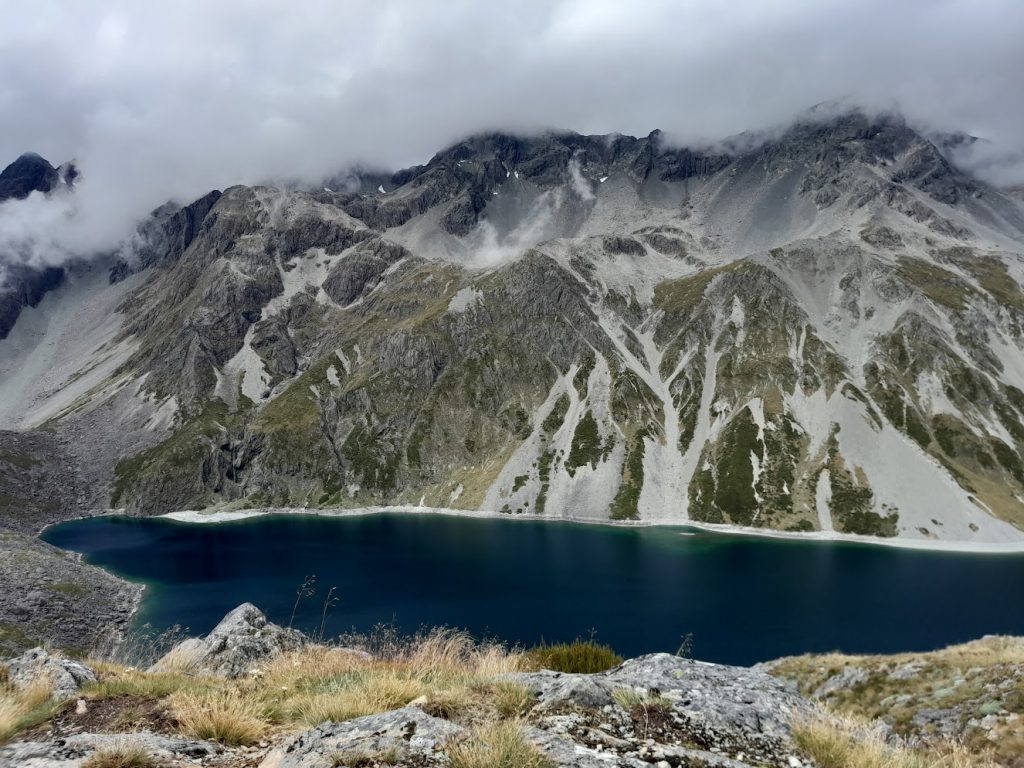
After sitting there for a while admiring the view, the weather started to clag in as predicted. Rotopōhueroa/Lake Constance suddenly disappeared and my visibility closed in to what was just in front of me. Rain started pelting down as I made my way slowly down the steep descent, now more slippery with wet rocks.
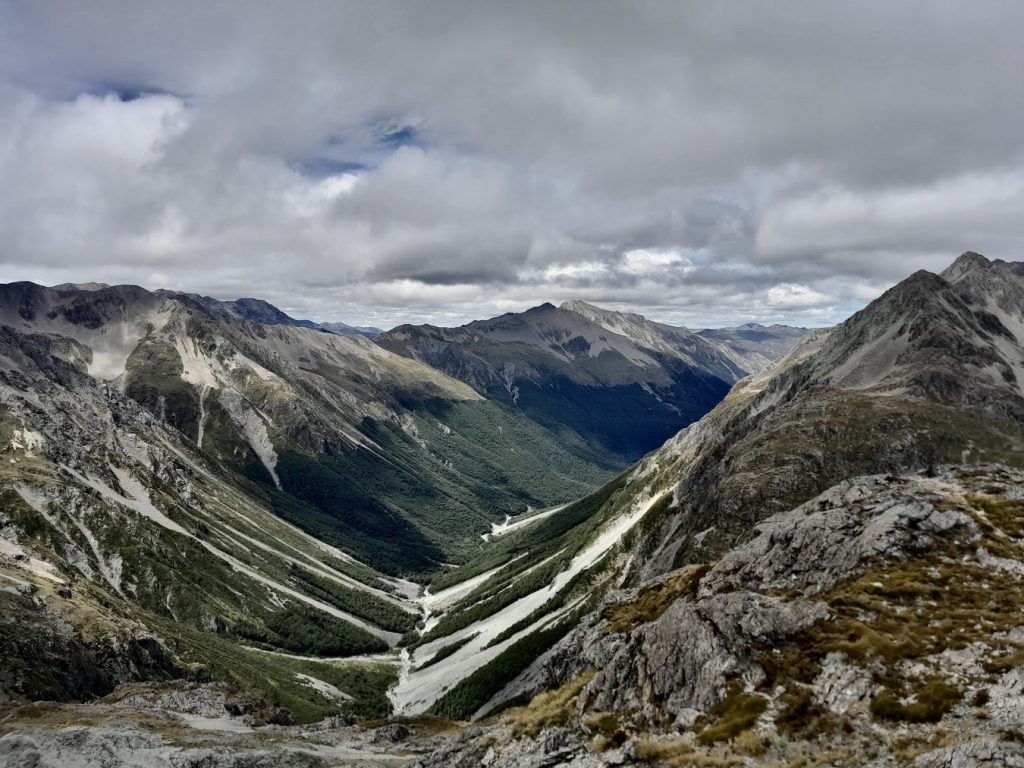
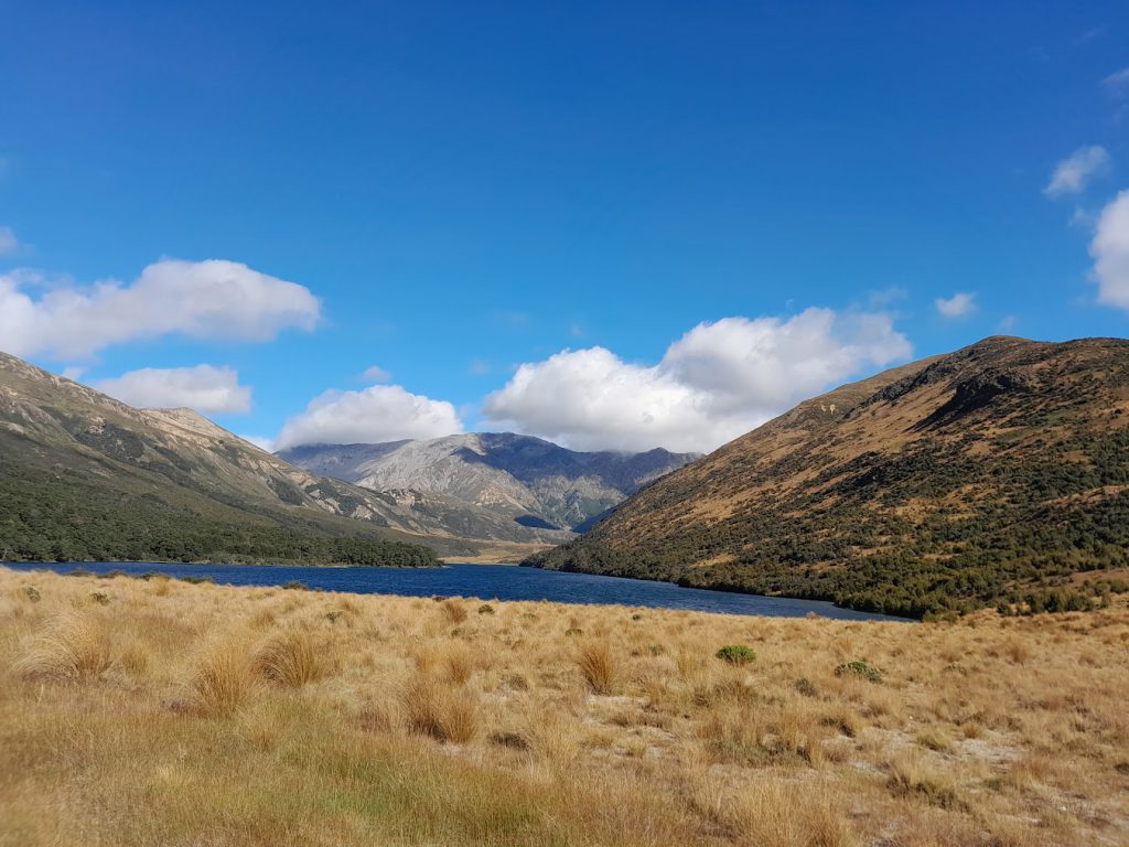
And then like magic, as I arrived at Rotopōhueroa/Lake Constance, it cleared again, becoming brilliantly sunny and hot. Even in summer with lower lake levels, the lake is still an impressive size. At its largest it is 2km long and 700m wide, filling the post-glacial basin located at 1,340m elevation. It also takes the title of NZ’s largest true alpine lake. I spent a long time just sitting there in the sun, enjoying the indigo blue sparkling lake while drying out from the rain.
The view got even better as I continued to climb above the lake on my way to Blue Lake Hut. I had a helicopter go whizzing over me in the direction of Waiau Pass during this climb. I hoped that it wasn’t flying to an incident on Waiau Pass, as there would have been only 2 people on the Pass at that time – as everyone else had gone over the Pass earlier in the day.
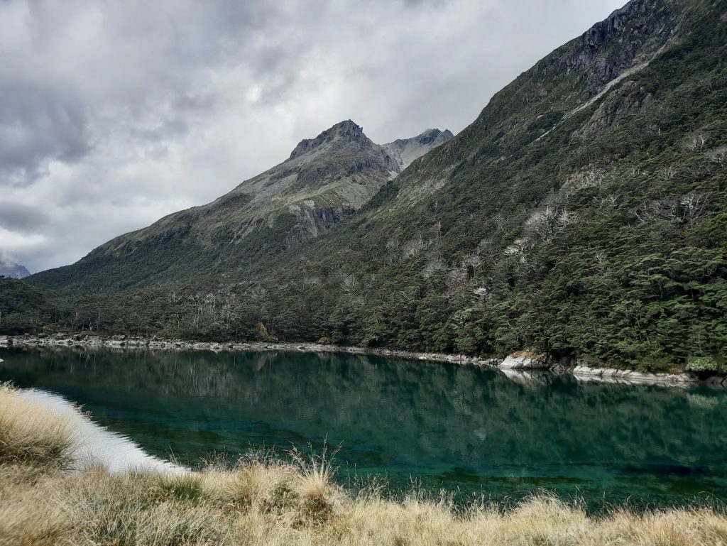
Again, the descent to Blue Lake Hut was spectacular, with the blue/green colour of Lake Rotomairewhenua/Blue Lake welcoming me. I had been to Lake Rotomairewhenua/Blue Lake back in 2021 during an attempt to climb over Moss Pass. The Lake’s name translates to ‘land of the peaceful waters’ and this certainly holds true. It is also the clearest lake in the world according to NIWA. The clarity of the Lake is greater than 80m and is similar to that of distilled water. It’s a lake that you just need to sit beside for a while to really appreciate its beauty – as it’s a mixture of blue and green hues that change with the sunlight.
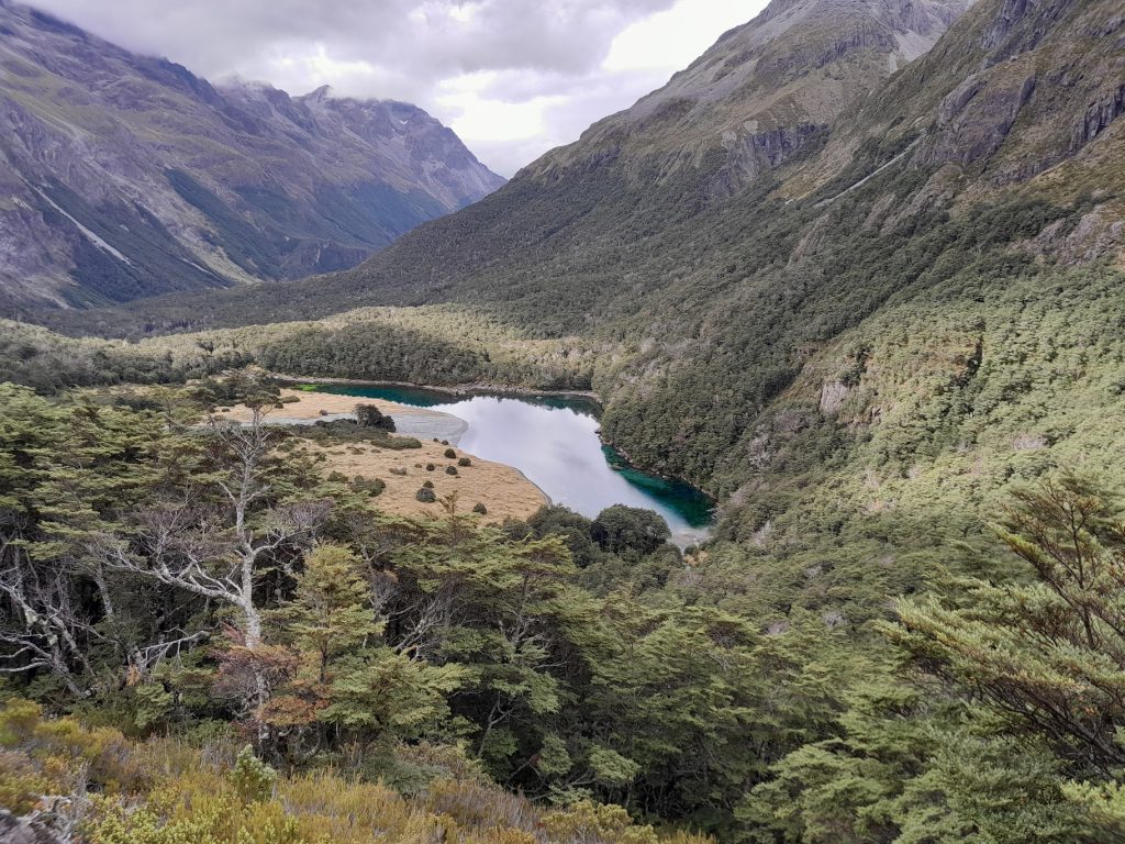
In the morning I took off from Blue Lake Hut in the direction of West Sabine Hut. I had walked this section before, but the loud sound of the Sabine River takes a while to get used to before it becomes white noise. It’s a sound that accompanies you for several hours. At West Sabine Hut I had a long chat with the warden – to delay the long climb over Travers Saddle that was to come. I knew the weather might change as I went over the Saddle and that I may be forced to turn back or to camp to wait out weather – so I kept this in mind.
As I climbed higher, I heard lots of kea out and about doing zoomies. As predicted, the weather changed as I got to the bushline under Travers Saddle. It started raining hard and I heard a distant rumble. For a moment I thought it was an avalanche in one of the valleys before realising it was actually thunder and lightning in the direction of Waiau Pass. I decided that since it wasn’t near me, I felt safe to continue, but that I would constantly re-evaluate the situation. I finally arrived at Upper Travers Hut looking like a drowned rat and decided to wait until the rain eased before pitching my tent.
The next morning I took a day pack and climbed back up to Poukirikiri/Travers Saddle. It was claggy on the way up and I thought I was wasting my time going up in a 2nd attempt to catch the views, but it cleared just as I made it to the Saddle and there were views back down to Sabine Valley and across to Mt Windward. I then wandered back down the valley from Upper Travers Hut, under beautiful beech forest. I had a long chat with a lovely TA walker I met along the way before I continued on my way to the Cupola Hut junction. At Cupola Hut I met Glenn & Anna from Australia, who I had a fun night talking to. They were quite inspirational, having done lots of tramping and biking around NZ. I decided then that I would love to go back to Cupola Hut and climb Mt Cupola.
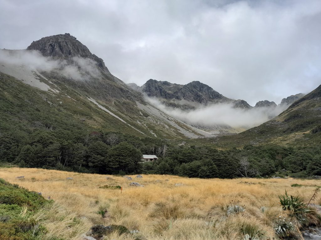
From Cupola Hut I headed to Coldwater Hut for my final night. I checked out Travers Falls along the way and stopped in at John Tait Hut before doing a detour out to Hopeless Hut – which was very busy. Five people had come over Sunset Saddle from Angelus Hut and were waiting out the rain there. I really enjoyed the walk into Hopeless Hut as it was so quiet with it being off the main TA route. And there were lovely green moss beds. I also got lots of visits from friendly and curious robins who felt their official duty was to give my shoes a thorough inspection before moving on to inspecting my walking pole. I also heard kākā and kea flying over me – which was great to hear. All the new trapping they have done in the area in the last few years seems to be paying dividends for our native birdies.
Heavy rain set in that afternoon and I arrived at Coldwater Hut completely drowned. None of that could dampen my spirits though, as Coldwater Hut is located in a very scenic area, right next to Lake Rotoiti.
No one else was at the Hut, so I spread out and started cooking dinner. And it was as I was cooking dinner that the tree fell down. I went outside to look and saw that the tree had just missed causing any significant damage to the Hut. The roof had just been hit by branches and access to the water tank was still possible from the other side.

The next morning I left the Hut wondering what the new day might bring. I had originally planned to cross Travers River and walk out via Lakehead Hut, but I knew this was immediately off the cards. Time for plan B. This meant walking out from Coldwater Hut via Whisky Falls. But even this alternative route wasn’t guaranteed after the torrential rain overnight.
I had run this trail before when looping around Lake Rotoiti and from looking at the map, I knew I had a few creek crossings, and that the creeks might be uncrossable due to all the rain from the day before and overnight. I mentally prepared myself for the fact that I may need to turn back or camp next to a flooded creek to wait for the water level to go down. It was really important that I made safe decisions.
The first creek I came to was pretty flooded, and was fast moving, but it was not particularly deep. I assessed it and made the decision that, with my experience, I felt completely comfortable crossing it with care. I did start to wonder about the next ones though and knew I would have to assess them all on an individual basis – and be prepared to stop. As soon as I got cell reception I fired off a txt to my work to let them know that I may not get back in time for my shift the next day, because I may be stuck waiting out flooded creeks. They were very understanding and just told me not to worry and to stay safe – especially after hearing about my near miss with the lazy tree.
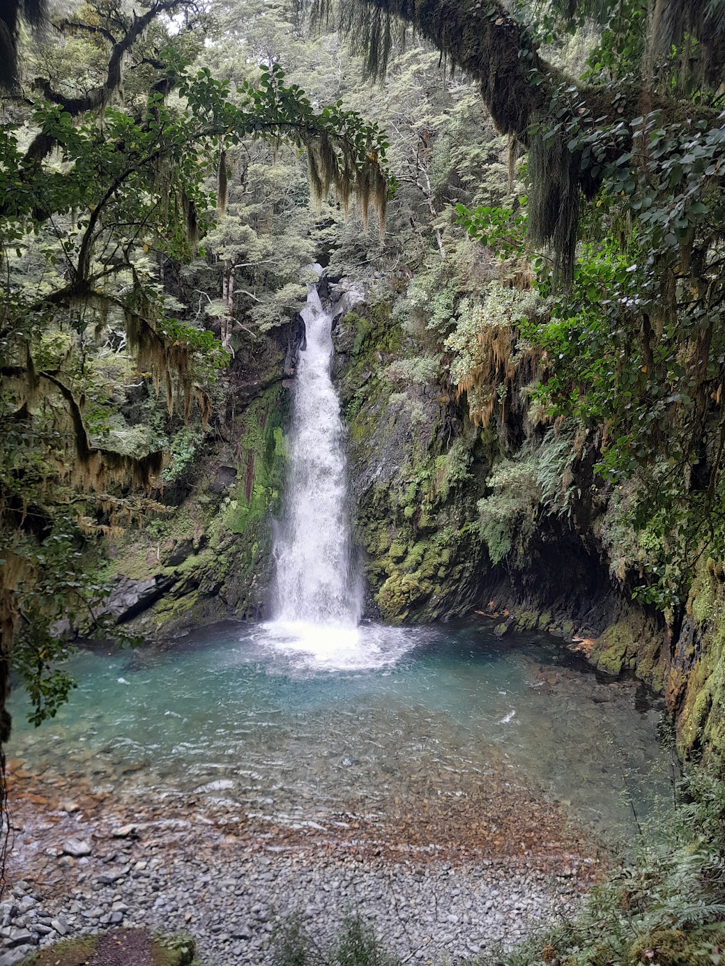
I did the side trip to see Whisky Falls. The Falls looked quite different compared to my last visit due to all the rain. The next few creek crossings were all easy, so I made it out to the roadend in good time and started my walk back to St Arnaud. Along the way I visited the DoC office to let them know about the fallen tree. I later heard from Glenn and Anna that they stayed at Coldwater Hut two nights after me and DoC had already cleared the tree by then.
