Ōtaki Forks temporary walking access
A guide to DOC’s Emergency Access Track that provides a walking track to Ōtaki Forks bypassing the slip at Blue Bluff that has closed the road, and notes that the road will be reopened sometime in 2025.
Note:
- As at July 2022 there is a KCDC walking track directly over the Blue Bluff slip. This is well used in spite of warning signs and does save the time and effort of the DOC route. Here is a video of the track, but note the track now appears somewhat different because there has been significant regrowth on the slip above and below the track.
- At May 2024 KCDC has made a decision to reopen the road, at a cost of $7.5 million, which will mean that sometime in 2025 vehicle access to Ōtaki Forks will be restored and neither of the temporary walking routes will be necessary.
PS the photo of the slip on the KCDC website was taken at the time of the major slope collapse and this is now mostly covered in young regrowth scrub.
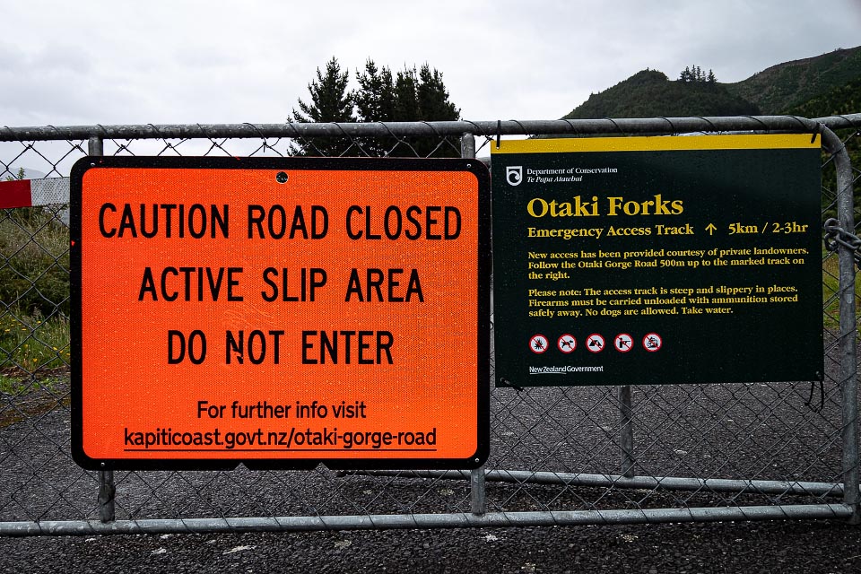
As of 21 December 2020 DOC has opened an Ōtaki Forks temporary walking access track. This is good news for trampers wanting to use the Field or Waitewaewae Tracks given the road is unlikely to be open for some time. So where does the track go?
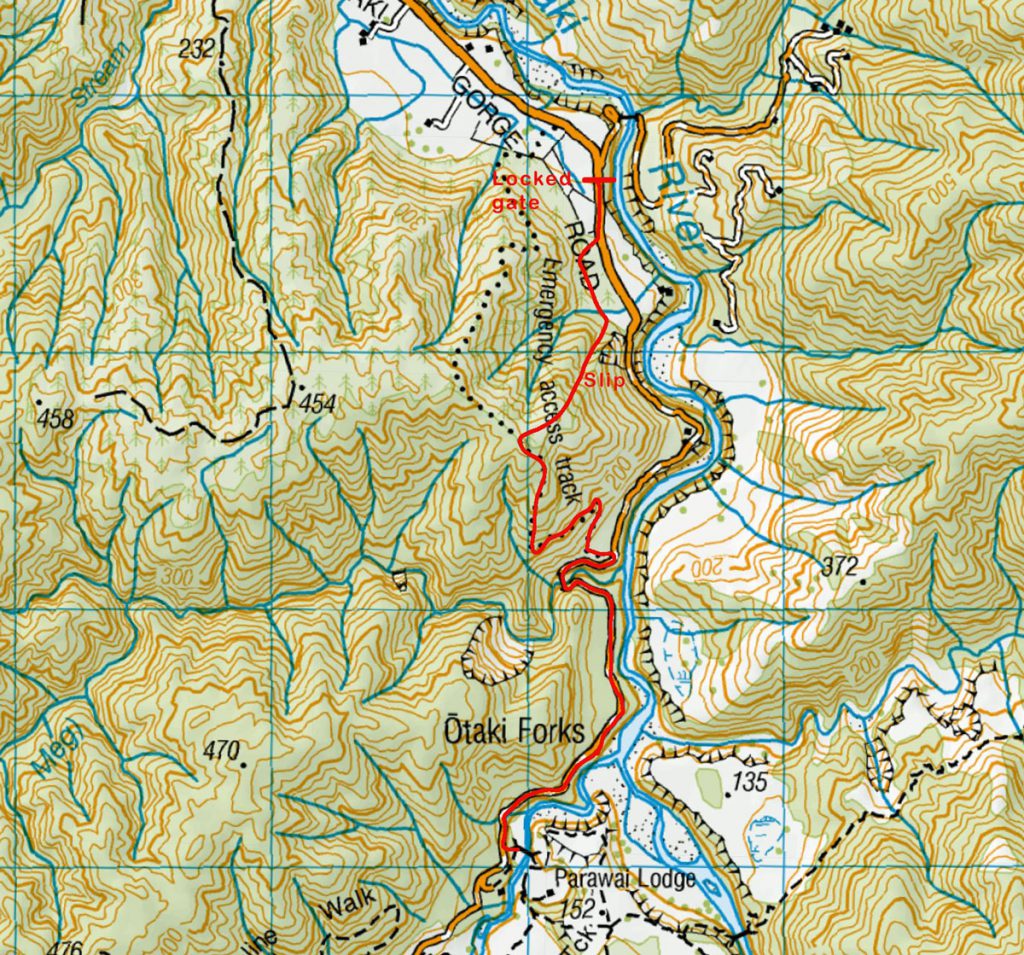
Park your car near the locked gate on the Ōtaki Forks Road just past Shields Flat. Then walk 300 m along the road to an orange triangle directing you to another gate on your right signed as the emergency track. You follow a short section of 4WD road before a rough track heads parallel to the road through some scrub for about 250 m. Then the serious business begins—the track heads directly up a spur beneath the pines. And it is quite steep. But there are plenty of orange triangles to mark the way and a ground trail is gradually being formed.

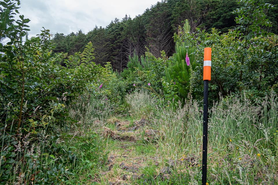
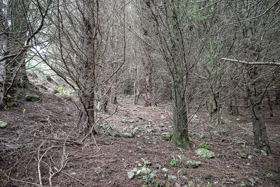

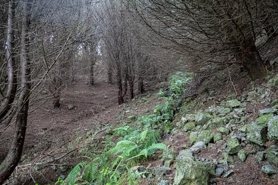
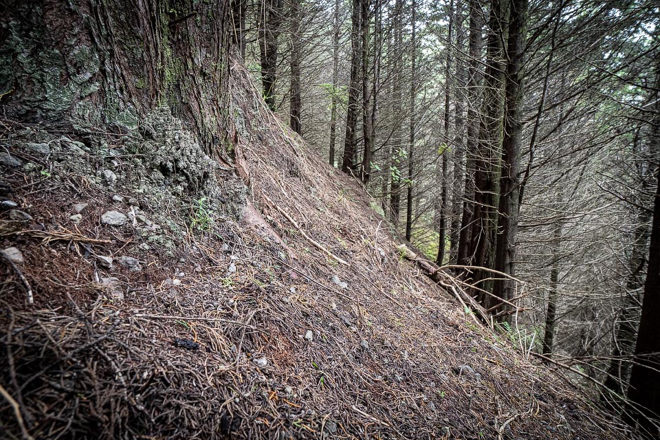
About 30 minutes of solid climbing ends on an open ridge and a 5 minute gentle 4WD track to the old logging skid of the 2016 temporary track.
From here the track follows the 2016 track down through pleasant native bush to the old 4WD road that led to the failed hydro dam, and then finally down to the Ōtaki Forks Road again. Another approximately 2 km along the road and you are at the Forks.
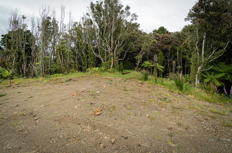
Compared to the 2016 temporary track the new one is shorter but steeper so the times from the carpark to the Forks will likely be about the same—somewhere between 2 to 2½ hours each way.
For more Tararua Range photos go to www.tararuaphotos.com

Did it today and just under 90 minutes to the Forks – but it is defintely steep.
Fantastic guide! Thanks for getting this up so quickly after the official word from DOC