
Aokaparangi Loop and Maungahuka Hut
A 4 day hiking loop trip around the Aokaparanki Loop to Maungahuka Hut – the hut in the Tararua Range that started me on my tramping journey.
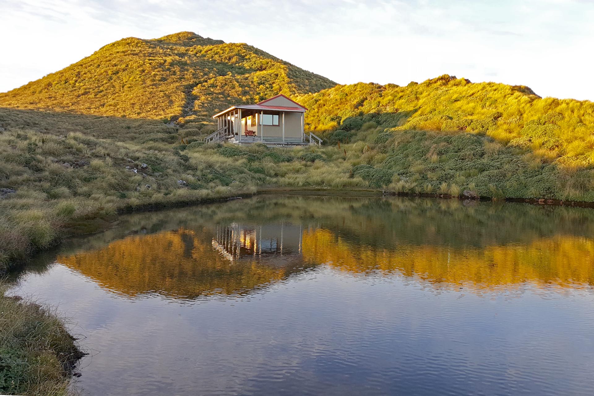
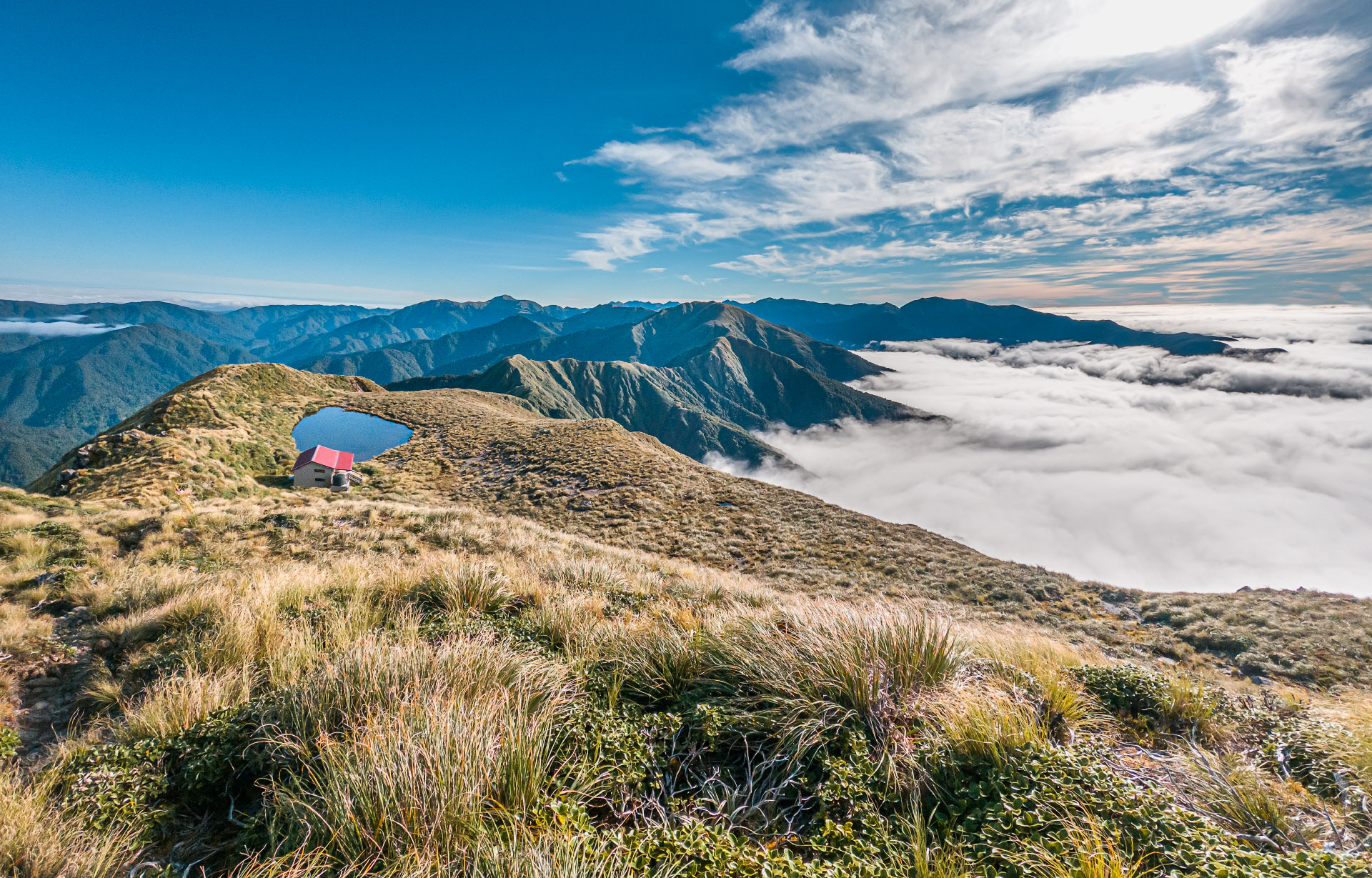
The hut that started it all for me …
Years ago, when I got my first Tararua Forest Park map for a school tramp and on the front of it was a beautiful photo of Maungahuka Hut with its tarn in such an idyllic spot I instantly felt drawn to it and knew immediately I wanted to be skilled enough to get there one day. And so began my tramping journey. I wanted to have enough skills to visit beautiful places like that and have the courage to challenge myself. Yet in all the years I had now been tramping I had only visited the hut once (passing through briefly on a traverse of the Tararua Range/Main Range SK) because things like weather, timing, other trips cropped up.
Tony and I spent the week watching the weather and we had planned to go on Friday, but on Friday I was too exhausted from doing long hours at work so we deferred until Sunday and I kept doing sun-dances hoping we hadn’t missed our chance.
We left Holdsworth carpark on Sunday afternoon about 2pm and wandered up to Powell Hut. It was pretty cold and claggy on our arrival there and we decided to continue on to Mid Waiohine Hut as Powell was rather busy even for a Sunday night. I hadn’t visited Mid-Waiohine Hut since 2015 so it was nice to return there again.
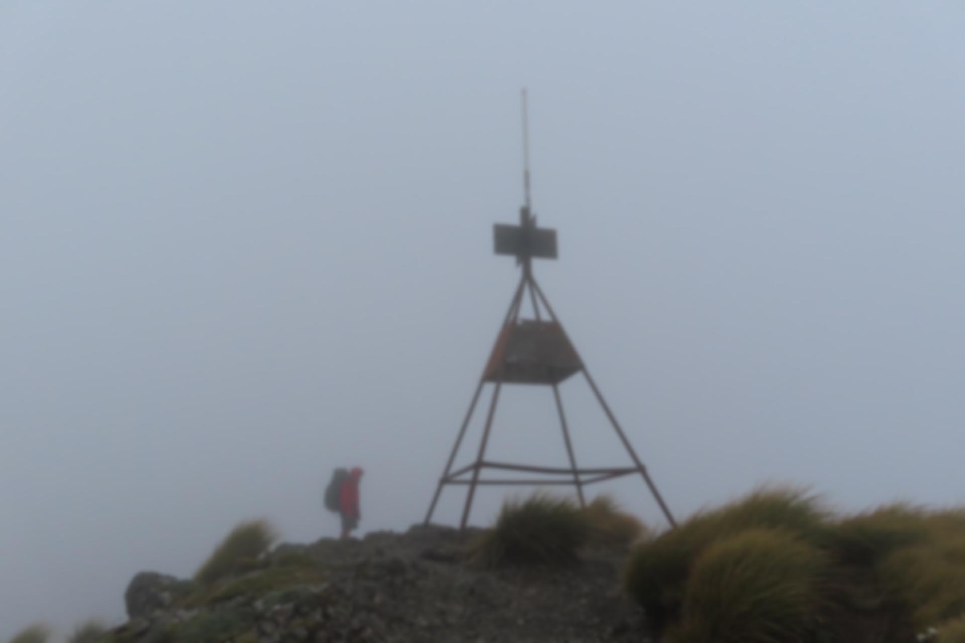
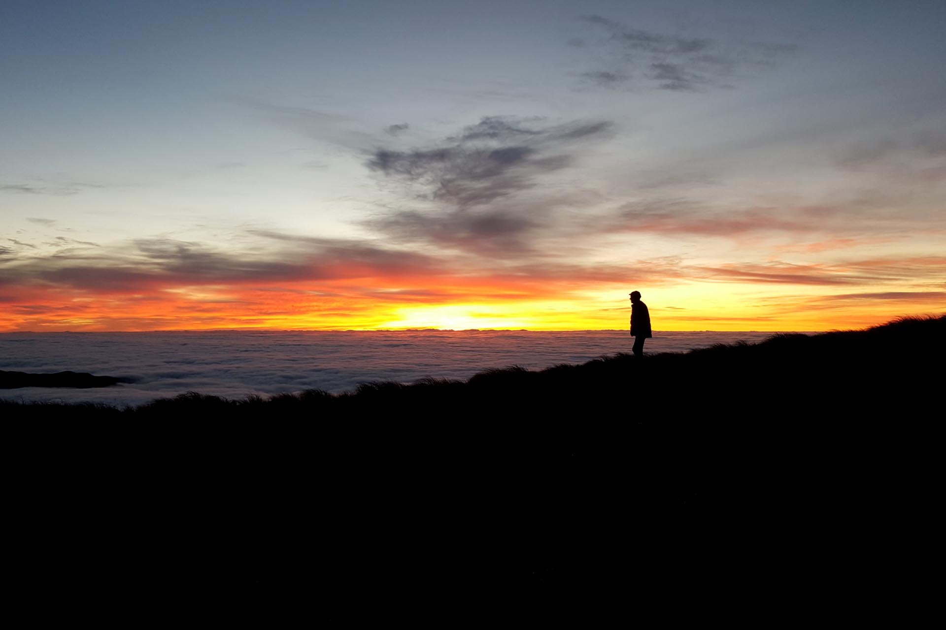
The next morning it was all new tracks for me. After going across the swingbridge it was straight up the hill and back into the clag. We had a stop just before the bushline to put on more layers for the final climb up to Aokaparangi. After we dropped our packs at the junction to Aokaparangi Biv and started down the hill my sun dances started finally working—the clag burnt off and the sun came out to play. After our visit to the biv we sat for a long time on Aokap enjoying the good weather—we could even see Field Hut far in the distance. Admittedly, I needed a bit of help with the zoom function on my camera to see where Tony was pointing at initially.
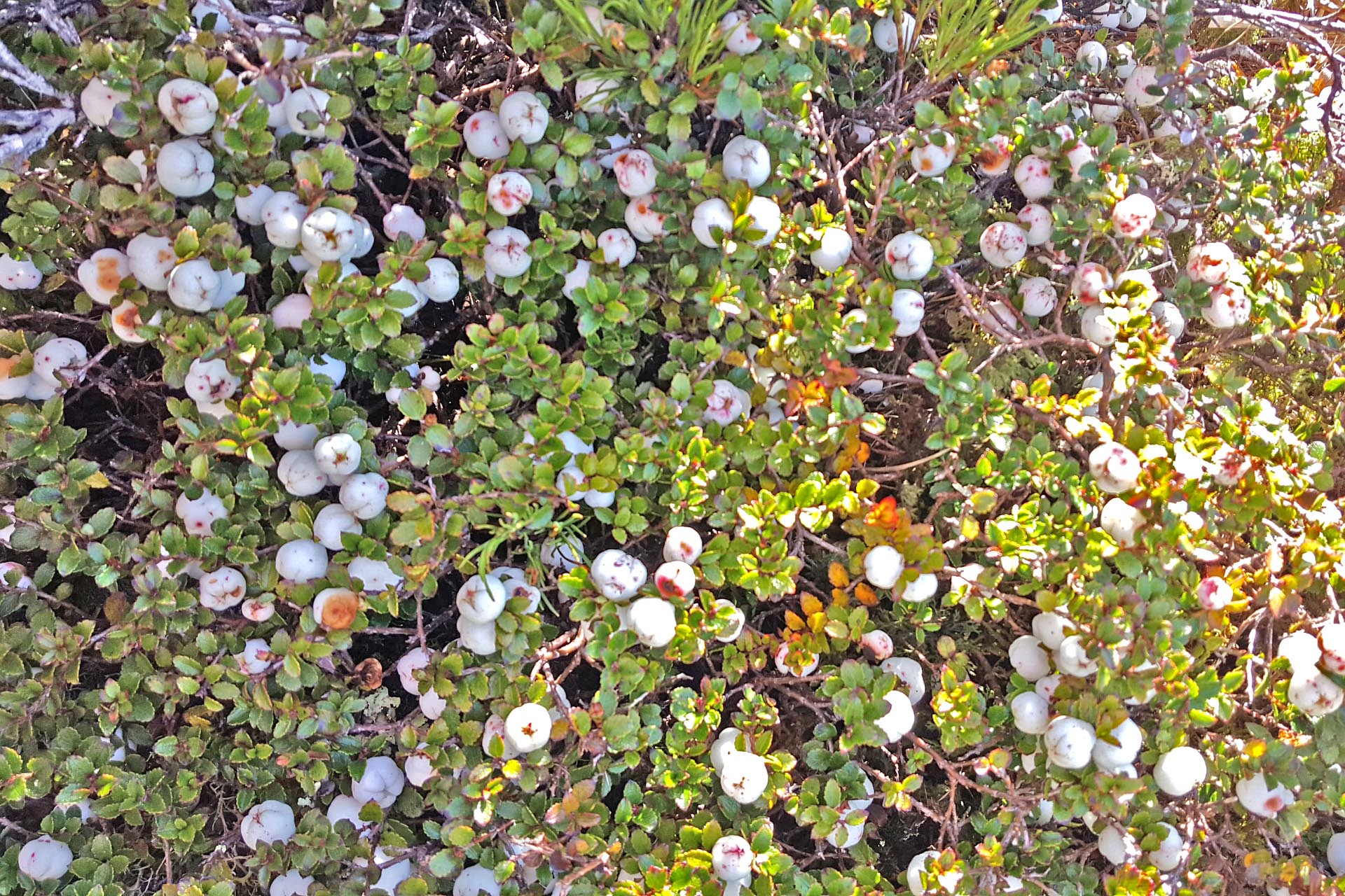
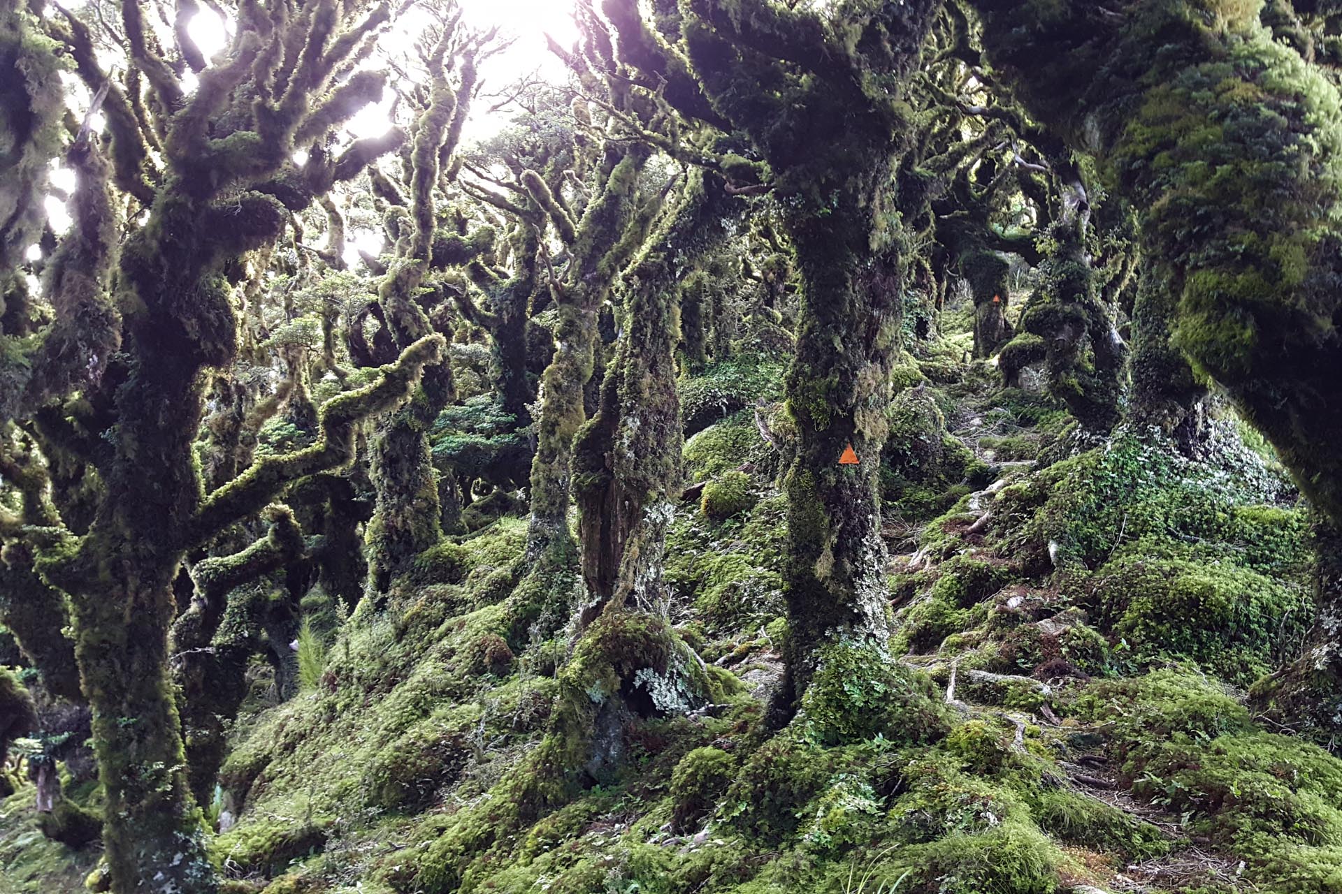
There were a few sections of the track along to Maungahuka Hut that were a bit slow going due to scrub overgrowing the track or erosion that had left the ridge a bit narrow but I never felt uncomfortable. I told Tony we were practicing ‘being the goat’ which is the name of one of my Squadrun training sessions for doing a technical tree rooty/boulder hopping run. Hilariously a few minutes later I noticed an actual goat on the ridgeline in front of us that went bouncing down the hill when it saw us coming towards it. Plus there were more snowberries than we could eat even though we tried our best …
We made it to Maungahuka Hut just as the clag started rolling in again. On opening the door, I immediately got my ear talked off by the only person inside the hut, a tramper called Dave. Dave had been at the hut for two nights on his own so he was delighted for the company and was quite a character. He talked about a recent Kaweka trip he had done and we did indeed find him in the hut books when we visited the Kaweka Range a few weeks later. The clag cleared later for us in the evening to see the twinkling lights of Waikanae and the Wairarapa and the clear starry night that I kept wandering outside to admire.
The next morning we got up early to see the fantastic sunrise, low lying thick easterly clouds, reflections of the hut in the tarn and the start of a bluebird day. The Tararua Range had delivered right on cue as one night either side of the night we were there didn’t have the right weather for this special kind of Tararua magic. I spent some time thinking of how this was my ‘why’ and how I had done so many tramps since seeing that photo of Maungahuka on the map so many years ago—how many special places I have been and how lucky we are in NZ to have so many places to explore and have such an extensive network of backcountry huts for shelter.
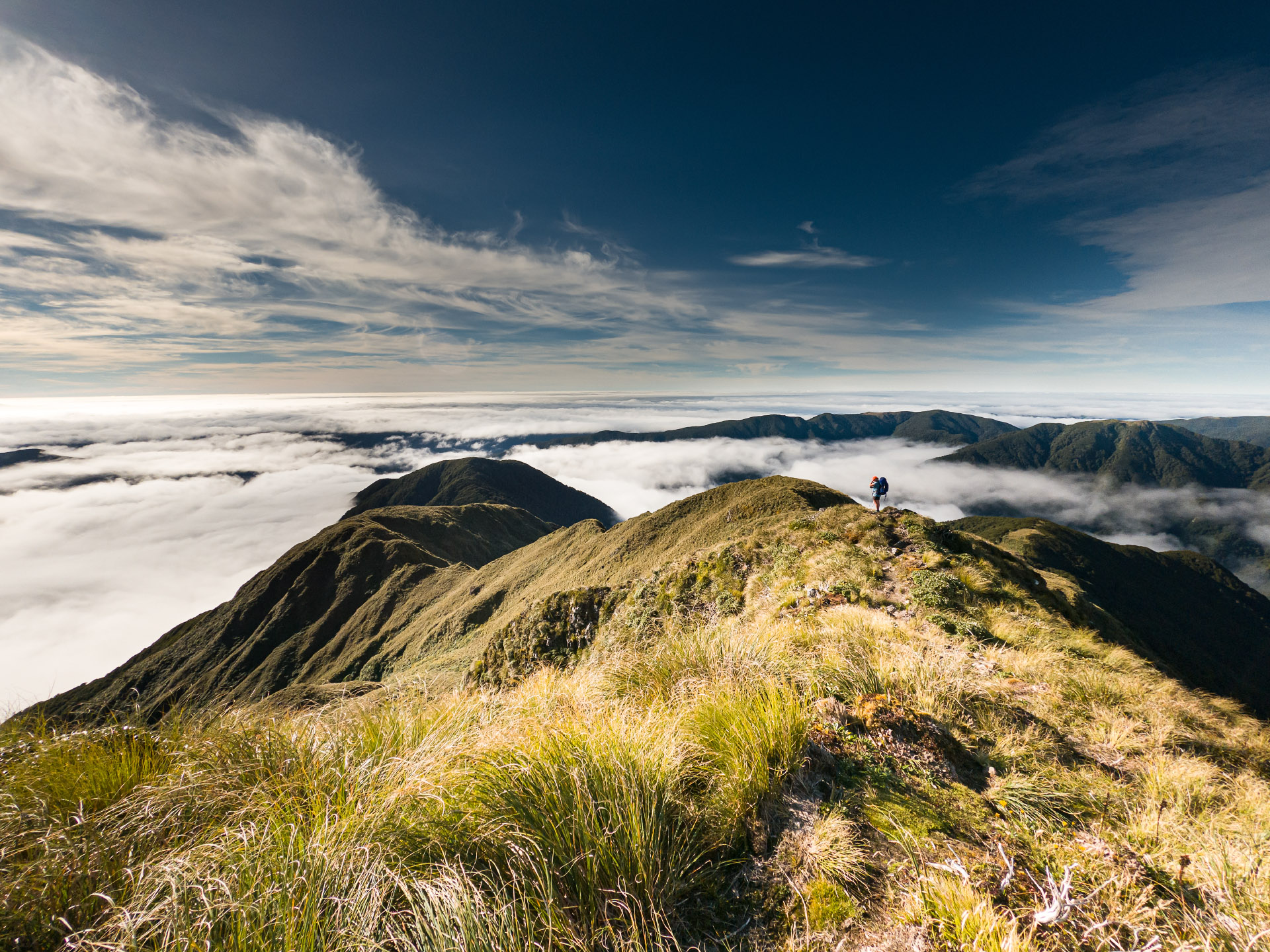
After climbing up to Maungahuka we headed down towards Concertina Knob and Neill Forks while enjoying the sun and great views. At Neill Forks we stopped for lunch, almost melting under the heat of the sun. It was a hot climb out of Neill Forks Hut and Tony found me at the top of the climb having a wee nap in the middle of the track while waiting for him.
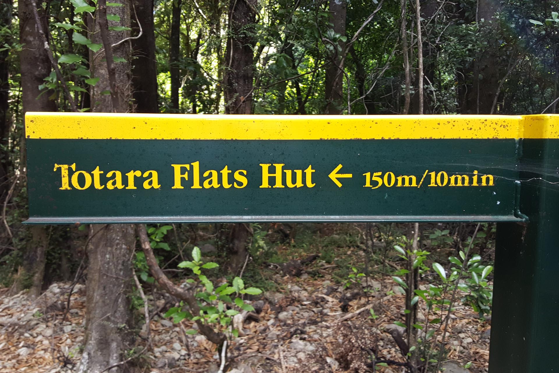
We wandered along Cone Ridge before dropping down to the Totara Flats swingbridge. I joked to Tony that I was going to take the DoC time of 10mins to walk the 150m to get to the hut. I started out well but only lasted 30 seconds before I got bored. We arrived at Totara Flats Hut to find it completely empty which surprised me because even though it was a weekday it’s still a very popular hut. It was still pretty warm so we both went for a swim in the river (I checked for eels this time so I didn’t get nibbled by one like what had happened to me at Mitre Flats) before we set up our sleeping bags on the porch so we could sleep outside looking up at the sky and be lulled to sleep by the music of the river.
The next morning it was an easy wander back to the Holdsworth carpark through some heavy rain that rolled through but couldn’t dampen our spirits at another fantastic trip.
Every backcountry hut in NZ has its own history and place but it is more than that. For many trampers our precious backcountry huts are interwoven into our tramping journey with personal significance. I have visited many huts and camped in many places over the years yet my mind always returns to that iconic image of Maungahuka Hut that influenced me so much.
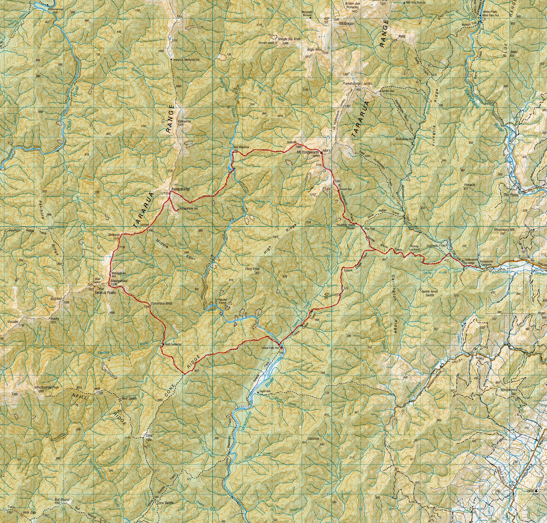
Day 1 – Holdsworth Carpark to Mid Waiohine Hut via Powell Hut
Distance: 13.5km, Elevation:1,345m, Elapsed time: 5h 45m
Day 2 – Mid Waiohine Hut to Maungahuka Hut via Aokaparangi Biv
Distance: 10.3km, Elevation:1,677m, Elapsed time: 9h 40m
Day 3 – Maungahuka Hut to Totara Flats Hut via Neill Forks Hut and Cone Ridge
Distance: 12km, Elevation: 825m, Elapsed time: 8h 20m
Day 4 – Totara Flats Hut to Holdsworth Carpark
Distance: 10.5km, Elevation:700m, Elapsed time: 2h 55m.
Fixing the tap at Maungahuka Hut – a worthwhile trip Maungahuka Hut broken tap
For more photos go to www.tararuaphotos.com