
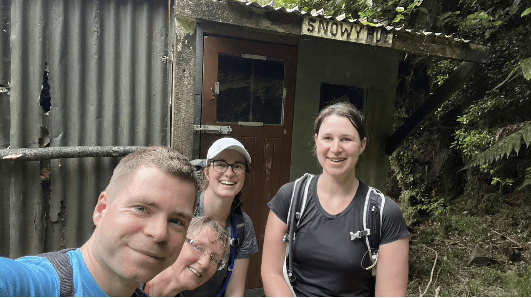
We decided on a day trip to Snowy Hut, after a changing weather forecast swept away our plans for a 6-day expedition.
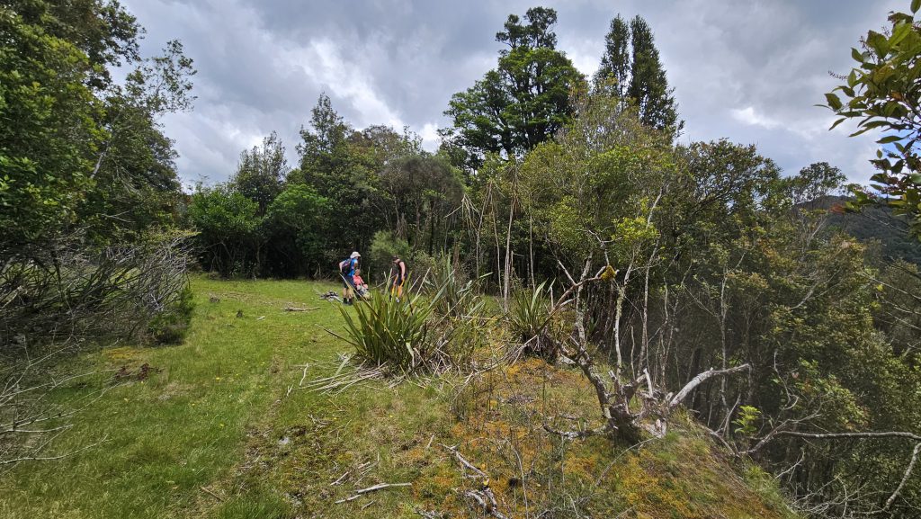
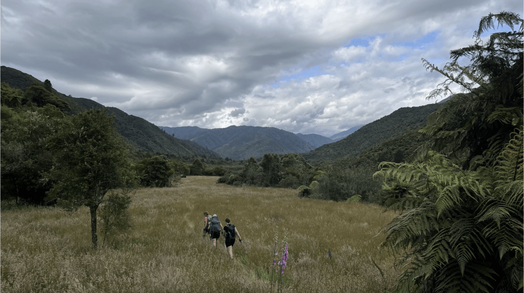
Starting out from Otaki Forks just after 8am, we walked for about an hour on the road until we reached the start of the Waiotauru Hut track. In the first few kms of this track there are a couple of slips, one before the Historic Mill site and another just after it. The detours are pretty good, but could be a bit scrambly in wet weather. After these slips, the track is well maintained. After crossing a swing bridge, we reached the Waiotauru Forks junction and had lunch (part one). It was a nice grassy clearing on an old logging road.
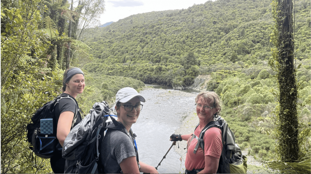
Daniel crossing the swing bridge before the Waiotauru junction [Megan].
While having our break we saw a pair of cyclists who had come from Maymorn and were on their way to Otaki Forks. After just going over the slips, I didn’t envy them the joy of carrying their bikes up those!
From this point onwards, we utilised a super handy GPX file from Paul M (Snowy River GPX). From the junction, we headed left down to Snowy River/Eastern Waiotauru River, which we then crossed, and then climbed up the bank on the other side to the terrace. We then followed this terrace/logging road trail to the Tregear Stream.
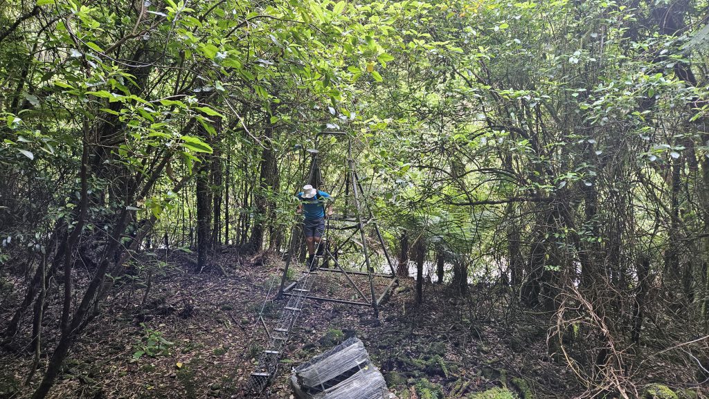
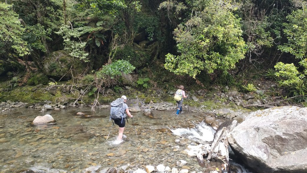
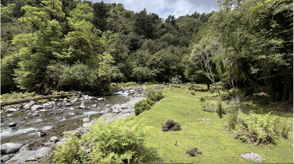
After crossing the Stream, by sidling close to Snowy River for ~10-15 mins we found a few markers which led us onto the old logging road. This was quite overgrown in places, but we climbed approximately 100m before we came to another stream – which was our marker to bushbash down to Snowy River. From here, we joined Snowy River roughly where the fork from the stream from Elder joins. It was then a nice calf-knee deep walk for about 20 minutes to Snowy Hut. The hut is on the right-hand side of the river (when walking upstream) in the trees behind a grassy bank.
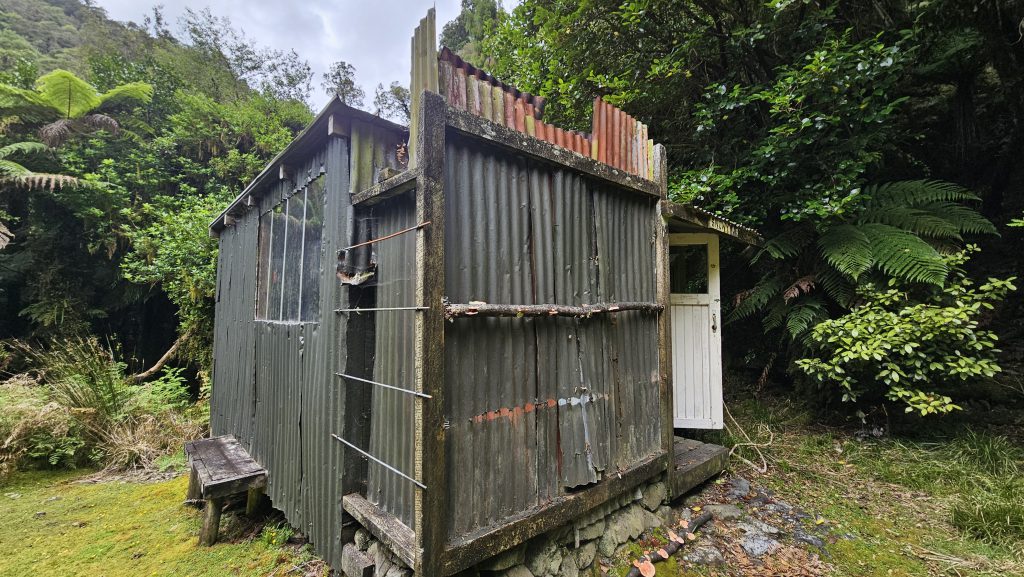
Once at Snowy Hut (which is quite quaint and even had a few mattresses) we had a look around and then had our lunch (part two) on the grassy bank. We then headed back down to the river. As it wasn’t quite hot enough for swimming, we headed back to the junction the same way we had come. We even found more of the logging road – as on our way to the Hut we had missed parts of it a few times as it is quite overgrown.
Back at Waiotauru junction, we had another snack break before the slog back to the car. The journey back was much the same as on the way in, but it was quite amusing to see some bike tread marks in the mud. I was definitely impressed, as I don’t think I’ve seen bikes in the Tararuas before. We got back to the car just after 7pm, feeling pretty happy with our efforts for the day and decided that we’d earned fish’n’chips and burgers from Waikanae on our way home.
Stats
– Distance: 32.5km, Elapsed Time: 10 hrs 40 mins, Moving Time: 9 hrs, Elevation Gain: 1,187m.
– Times for each section (similar timing each way).
. Otaki Forks Road section: 45 mins
. Otaki Forks to Waiotauru Forks: 1 hr 45 min
. Waiotauru Forks to Snowy Hut: 2 hrs
hi great to see snowy hut still there use to walk there years ago the hut use to ponga trees with a canvas roof