
The Te Puia Lodge area in the Kaweka Ranges is well known for more than just its stunning scenery; it is one of the few tracks in New Zealand where trampers can relax in spring-fed hot pools at the end of each day. With the winter chill beginning to set in and fine weather predicted, it was an ideal place to explore over the long weekend.
Our group was made up of 10 trampers of various experience levels, several of us new to the club. It seems the promise of hot pools is a great way to attract new members! With this in mind, excitement levels were high on the 6 hour drive to the end of Makahu Road – only waning when we arrived to find that we would be pitching tents on frosty ground. At -5.5°C, we certainly tested our sleeping bags to the limit.
On Saturday morning we warmed up with a soak in the Mangatutu Hot Springs, not far from the car park. It was a leisurely way to start the day and set the tone for the rest of the trip; we were definitely there to enjoy ourselves.
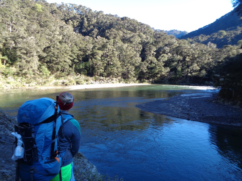
We set off around 11am and began winding our way up the valley alongside the Mohaka River. From time to time the valley would suddenly narrow, and we would find ourselves clambering up steep sections of track to reach breath-taking viewpoints of the gully below.
45 minutes down the track, it seemed to be lunch time already, and we basked in the sun on the river bank while comparing our tuna sachets, an invention of pure genius. Further downstream, we passed fly fisherman still in search of their lunch, and met several hunters out for the weekend. It was a busy track and we were glad be camping rather than squeezing into the Te Puia Lodge. The lodge is approximately 2 hours walk from the road end and, perched on the river bank, it would be an excellent summer destination. At this time of year, however, frost on the grass at 4pm was a tell-tale sign that the sun only reaches the area for a couple of hours each day.
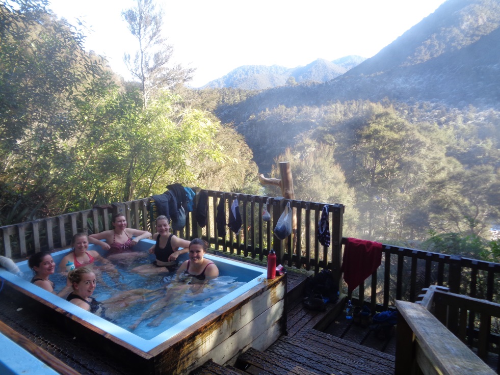
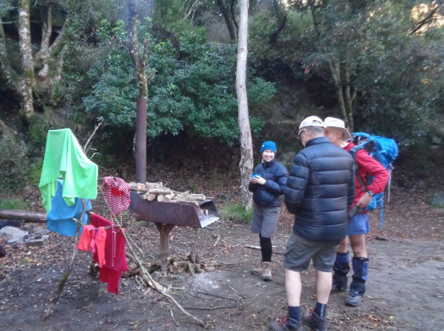
We continued walking for a further 45 minutes upstream to reach the Mangatainoka Hot Springs, our campsite for the next two nights. Under the shelter of trees with a permanent fire box, we were able to keep much warmer – though whether it was due to the location or the inventive methods of tent insulation is up for debate. We had a delicious dinner organised by Chief Chef Rachael and a soak in the hot pools under the amazing starry sky, and were in bed by 8.30pm.
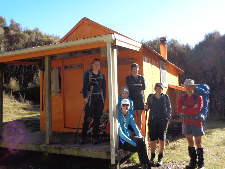
The next day saw the uninjured and keen (or perhaps cold) members of the group opt for a day walk to Makino Hut. This was a steep climb which began near Te Puia Lodge and rose 500m to the ridge. Nearing the high point, we came across a significant slip which prompted some Ngauruhoe-esque scree climbing; two steps forward, one step back, and try not to dislodge any boulders! We caught up with another WTMC group planning to stay at the hut and had a sunny lunch with them once we arrived at the rustic orange building.
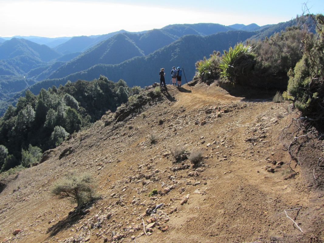
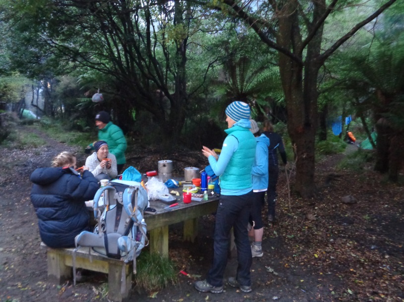
It was brilliantly warm at the top of the ridge in the sun, and a little disheartening to climb back down into the chill of the valley once more. We followed the same track down, slipping and sliding – and in some cases hobbling. The assistance of the three physios in the group was much appreciated! Back at the campsite, the rest of the group had been busy ‘sunbathing’ on the riverbank and doing a few camp crafts. Most impressive was the drying rack for togs and towels, fashioned from sticks and flax – a classic Boy Scout creation.
Another luxurious half hour in the hot pools, another delicious meal eaten around the fire, and we were all tuckered out.
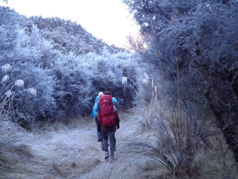
The last day was an early start, but it was a welcome change to be headed out on a walk on a Monday morning rather than to the office. We were packed up and on our way just after 7am, making satisfying crunching noises on the frosty grass. Powering back along the riverside track, we made it out to the road end in record time and celebrated a successful trip with one last hot pool.
Thanks for a great trip, Richard!
GPS Stats:
Distance walked: 31km
Average speed: 2.2km/hr
Maximum elevation: 993m
Minimum elevation: 500m