Summary:
- “78.8km” around Mount Ruapehu (according to DOC), over 4 days and 3 nights from the Historic Waihohonu Track road end (which added an extra 13.8km). The total distance ended up being a whopping 91.37 km (although one trip member calculated 92.72 km on their Garmin!!)
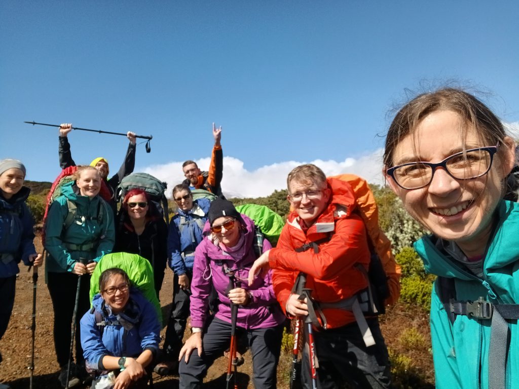
- Overall, some long days for a Medium trip (group consensus definitely rated the trip a Medium), and despite some sore bodies, everyone was very grateful for some lucky weather windows, fabulous scenery, hot fires, and good times in the hills with good people over the Easter long weekend! The tramp also really showed the importance of being well prepared for four seasons!
Thursday 28 March:
- The crew departed Wellington Train station just after 4pm, headed for a backpackers at Turangi. We took a detour to check out the highly regarded Apiti Tavern in the Manawatu. Well worth the visit – great burgers, and generous country sized meals. Brett also reckoned the beer was pretty cheap! The owner was very welcoming and hospitable.
- We stayed at Tongariro Junction backpackers, and again found a very welcoming owner, who happily stayed up until 11pm until we arrived and offered us more rooms to spread out if we wanted to.
Friday 28 March (Day 1): 19.36 km
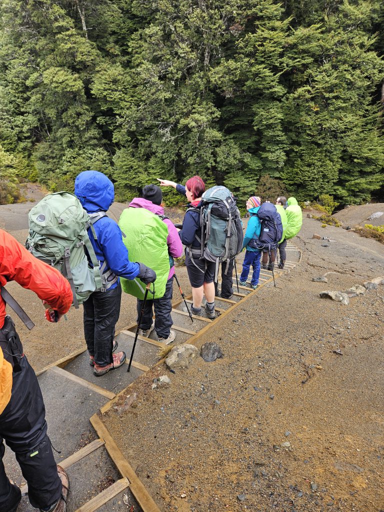
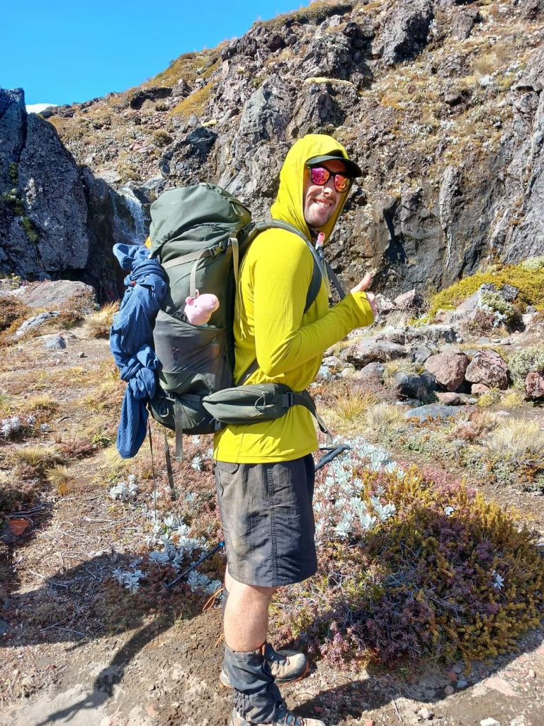
- We were on the road by 9am and at the Waihohonu track end on the Desert Road, ready to start, at 10am. The forecast was decidedly average, but we were surprised as the weather looked quite good. Most of us started off wearing shorts.
- That soon changed. By the time we reached Waihohonu Hut, approx. 7.3km and 1.5 hours later, it was snowing! We rapidly donned wet weather gear and had lunch while the snow shower passed. The snow was a surprise to us all, including the hut warden, who gave us a warning to carefully assess conditions at the halfway point to Rangipo Hut. She said she’d welcome us back if we ran into problems.
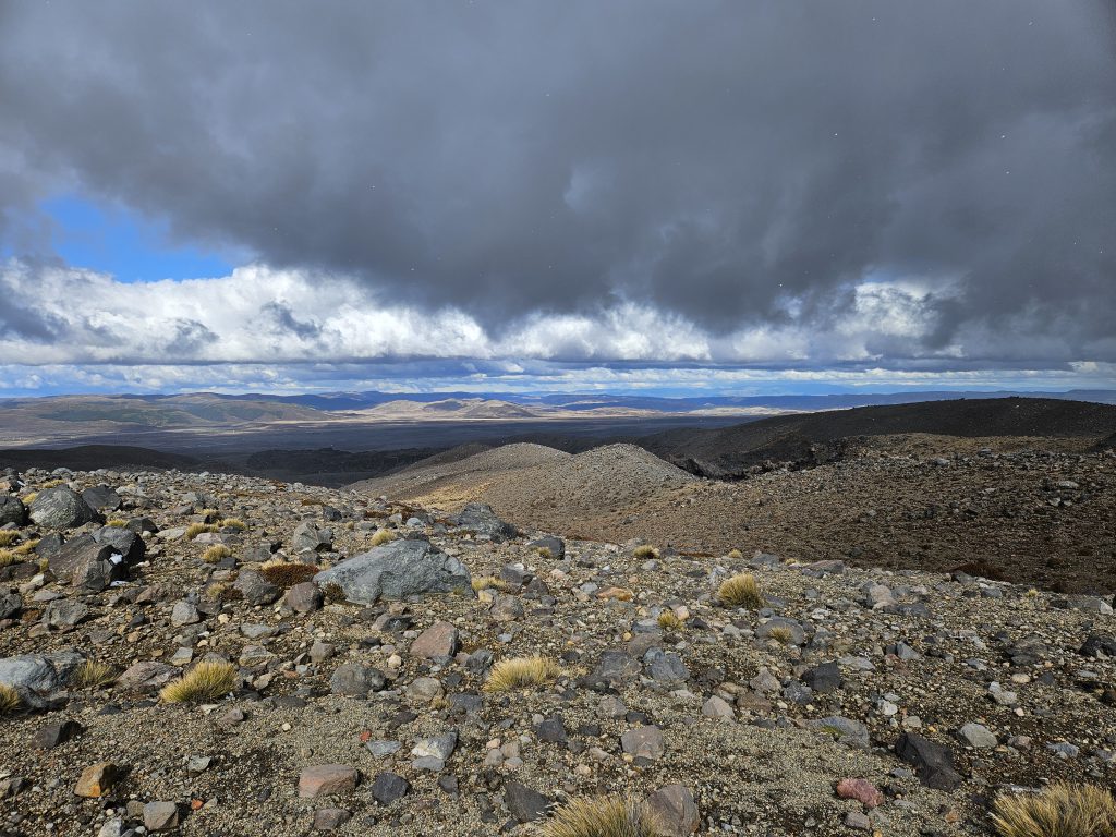
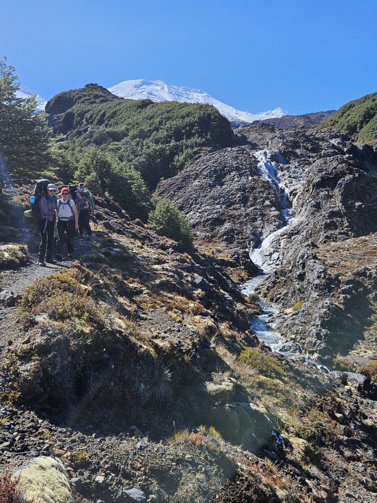
- It was mainly uphill for the remaining 12.5km to Rangipo Hut (we gained 600m elevation) and it was cold and windy (hail and sleet showers), but we saw glimpses of the majestic Mt Ruapehu while crossing the moon-like desert terrain. Some of the lahar rock formations were spectacular! It took us just over the recommended 5 hours.
Highlights:
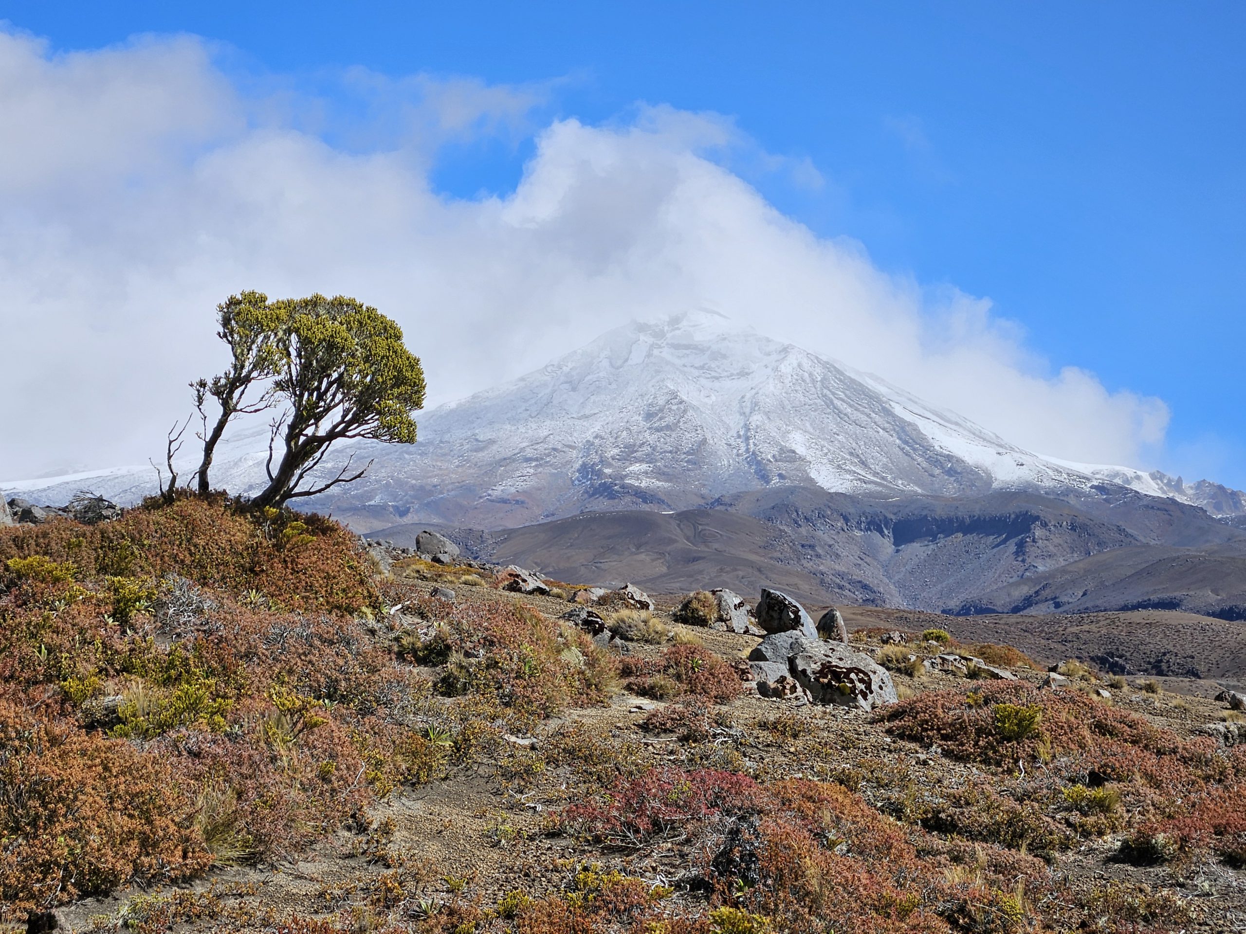
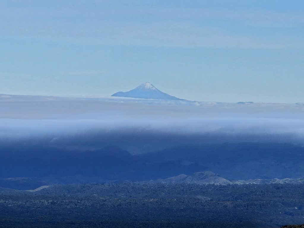
- Brilliant views of fresh snow on Mt Ruapehu and Mt Ngauruhoe.
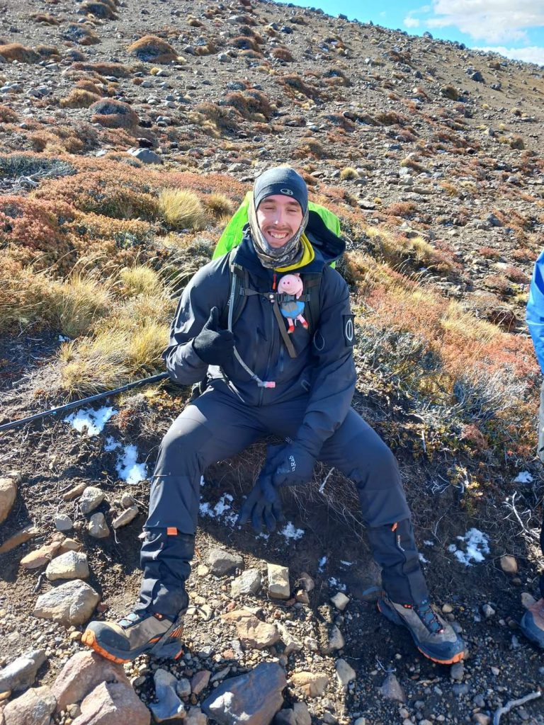
It snowed @ Waihohonu Hut while we were having lunch- perfect timing!!! - Brett found a “George the pig” soft toy on the side of the track (we are unsure if this track is suitable for toddlers, so we were slightly concerned at this discovery!!). George made it safely round the mountain in Brett’s good care and has now found a new home in Wellington.
- The Waihohonu Hut was pretty chocca, but everyone got a bunk! Great views across to the Kaimanawa Ranges and the Waiouru Army training area.
- Whio at the springs near Waihohonu Hut.
- Lava zone through Rangipo Desert.
- No rain all day (but lots of sleet)
Walking times:
- 6.86 km, Waihohonu road end to Waihohonu Hut, 10-11.30 (1 hour 30 mins)
- 12.5 km, Waihohonu Hut to Rangipo Hut, 12-5pm (5 hours)
Saturday 29 March (Day 2) – 19.43km
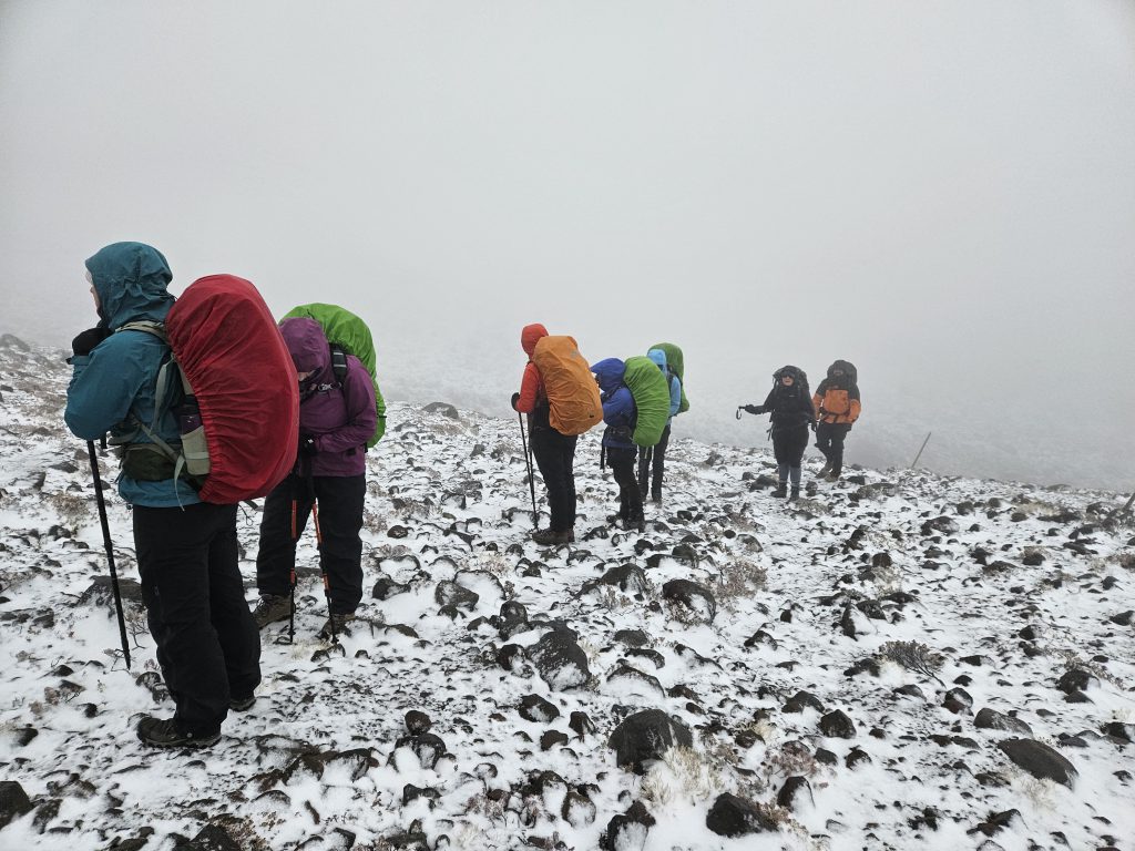
- The day dawned with a few centimeters of fresh snow having fallen overnight! Very chilly indeed. And this had not been forecasted!
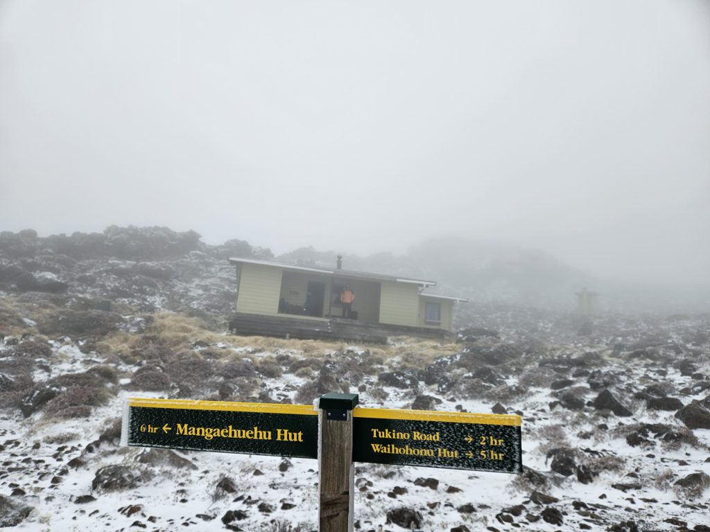
- We encountered snow, gale and blizzard conditions most of the way down the 12 km-odd descent to Mangaehuehu Hut. Although it was a descent, there were some gnarly ridgelines to traverse, however.
- Once we hit the tree line at around the 10 km mark, we stopped for a proper snack break (as before then it had been too cold to do so!!). Then on to Mangaehuehu Hut, where we had lunch and warmed up by the fire that had been left going!
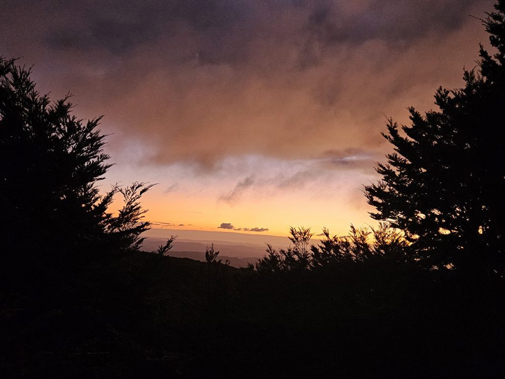
- The next section of 6.5 km was relatively more relaxed. We descended a further 200m, and then climbed just over 300m up to Blyth Hut. Again, the Hutt was full, and everyone apart from Calum managed to secure a bunk (but he managed to find a spot for his mat in the kitchen). We were also treated to a spectacular sunset! Our trip leader, Anna, surprised everyone by pulling out a few packets of well-deserved Marshmallow Easter Eggs for desert – yum!
Highlights:
- Walking in the snow!
- Easter Eggs, because it was, well, Easter!
- Some very scenic swing bridges!
- Sunset
Walking times:
- 11.7 km, Rangipo Hut to Mangaehuehu Hut, 8.15am – 1.30pm (5 hrs 15 mins).
- 7.73 km, Mangaehuehu Hut to Blyth Hut, 2 – 4.30pm (2 hrs 30 mins)
Sunday 30 March (Day 3) – 22.72km
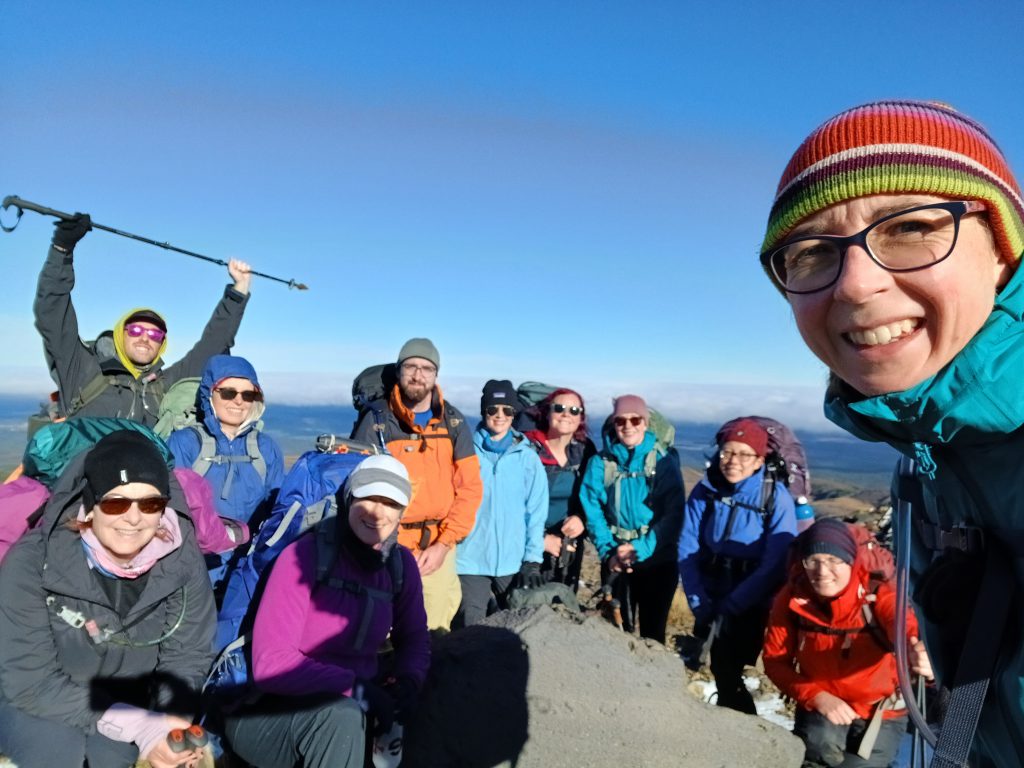
- The day dawned crisp and clear. Just after 8am, the team commenced an ascent via an unmarked poled route up the ridgeline towards Turoa ski field. This route enabled us to avert the Ohakune Mountain Road walk and was well worth it for the views of Mt Ruapehu up ahead. However, we got a little off track (the white poles became difficult to spot in the snow and to distinguish from the ski field markers) and ended up having to backtrack, to re-join the Turoa mountain road where we were able to re-join the track.
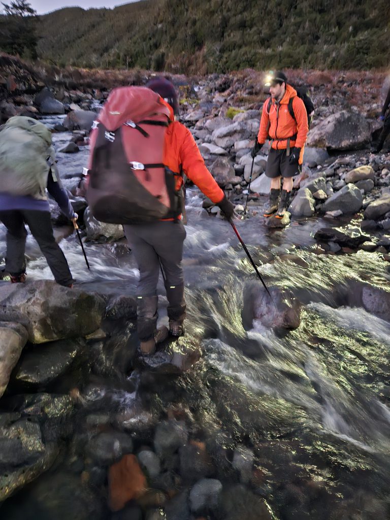
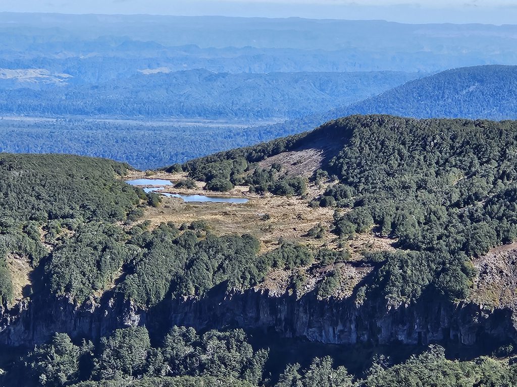
- It took another 2 hours to reach Mangaturuturu Hut (arriving at 12.15pm) via the splendid Cascades of Managaturuturu River. We had a snack break at the hut and then went on to Surprise Lake for a late lunch – around 1.20pm.
- We left the Lake at 1.40pm and most of the afternoon was spent walking along the tussock covered tops, and going up and down ridge & spur lines, navigating muddy rutted tracks and rocky scree slopes. The terrain was quite technical and our pace slowed down to match. We had a late afternoon tea around 4.30pm and Anna, our trip leader, pulled out more easter eggs to boost our morale and for a much-needed energy boost!
- We spotted Whakapapaiti Hut in the distance while descending into the valley. But the Hut looked deceivingly close and, alas, there was still one final large ridgeline to tackle….(Karen said she nearly cried when she saw it!)
- After a long day, we arrived at Whakapapaiti Hut at around 7pm to find it full with several groups – including two families with a baby, toddler, and small kids. Not ideal, but we hunkered down to get our tents set up and a billy on. And in no time, our boots were off, and we were having a hot dehy meal. Then it was into our sleeping bags to get some much-needed rest! Sara, Ashley, Lisa, Brett, and Eoin spent a chilly night outside in tents and the remainder of the group endured a crowded, hot hut, with kids waking up through the night (Calum and Anna slept under the kitchen table) .
Highlights:
- The Cascades were amazing! If it had been summer, we would have been jumping right into some of those swimming holes along the river.
- Everyone making it safely to the Hut!
- Amazing clear star-filled night at Whakapapaiti Hut!
Walking times:
- 9.42 km Blyth Hut to Turoa Mountain Road (2 hours) – we walked a bit further up than needed!
- 3 km, Turoa Mountain Road to Mangaturuturu Hut, 10am – 12.15pm (2 hours)
- 10.3 km, Mangaturuturu Hut to Surprise Lake, 12.15pm – 1.20pm (1 hour), then Surprise Lake – Whakapapaiti Hut – 1.40pm – 7pm (5 hours, 20 mins)
Monday 1 April (Day 4) – 29.86 kms
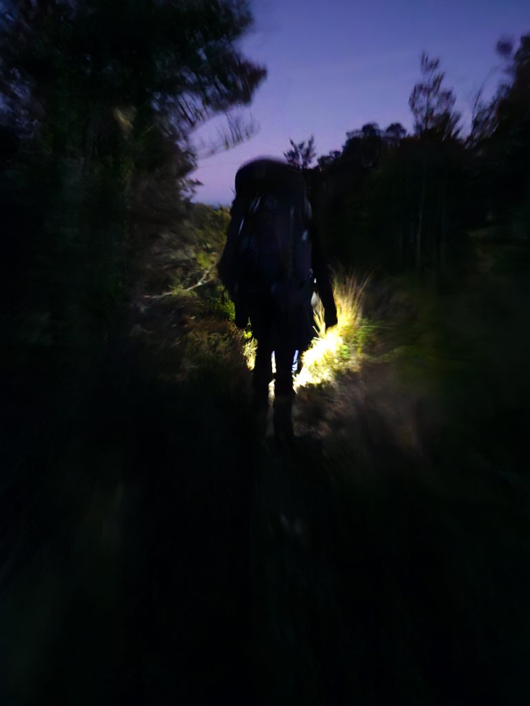
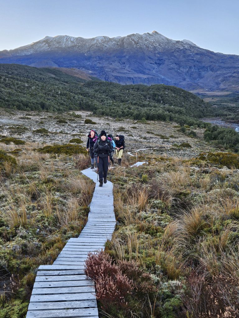
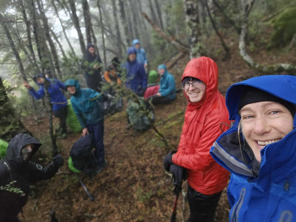
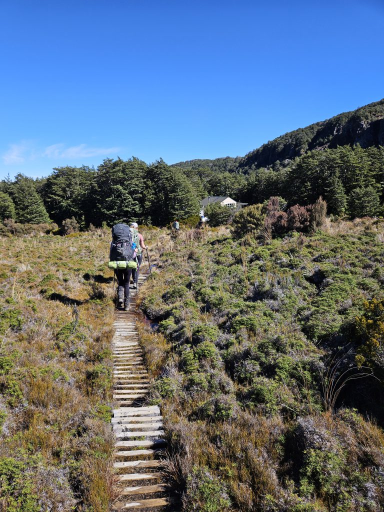
- We were up at the crack of dawn to pack down (frosty) tents and have some breakfast, before departing at 6.30 am. We plodded carefully down the frosty boardwalks with head-lights on, while our bodies warmed up again. Once we got to Whakapapa Village, we had a snack break and some morning tea.
- From then on it was much easier going – on the well-trodden ‘Northern Circuit’ Great Walk track (I hope we weren’t too smelly for the tourists as we walked past!!). We had lunch on the deck at Waihohonu Hut. Sara, Anna and Ashley also took a short detour to check out the historic Waihohonu Hut.
- Longer distances were traversed today, but after a few hills on the way to Whakapapa Village and one final ascent up to Tama Lakes, it was predominantly downhill and easy going for the final 15 km back to the van. By now there were a few blisters, hotspots and niggles starting to appear, but the end was in sight. So the team pushed on, as dinner in Bulls was beckoning!
- We were back ar the van by 4.30 pm, had the obligatory dinner in Bulls, and arrived back in Wellington at a respectable 9.10 pm!
Highlights:
- No mud slides today!
- The last of the Easter Eggs were dished out by Anna at Whakapapa for morning tea!!! (there must have been at least 4 big packets in there!!)
- The Historic Waihohonu Hut – fascinating to read the history of the first intrepid adventurers and explorers visiting the region and see the separate ladies’ quarters!
- Gina declared “when I see the van, I think I want to kiss it”!! And she did!!!
Walking times:
- 8.7 km, Whakapapaiti Hut to Whakapapa Village, 6.30 am – 9.30 am (3 hours)
- 14.3 km, Whakapapa Village to Waihohonu Hut 10 am – 3 pm (with 20 mins lunch break)
- 6.86 km, Waihohonu Hut to Road end, 3 pm – 4.30 pm
- 10 min round trip from the Round the Mountain track to visit the historic Waihohonu Hut.