
We left Wellington Train Station at 4pm on Friday and drove to our accommodation for the night at Te Wera Valley Lodge (www.tewera-lodge.co.nz) located on a remote road called the Forgotten World Highway – about 37km from Stratford. It was a very cold winter night and we arrived at 9.15pm. We were the only guests staying on the premises that night and were very grateful that the owner put us up in one of the cottages (which had a heat pump, full kitchen, electricity and bedrooms) instead of the cabins we had initially planned to stay in – which had no heating.
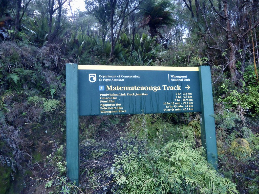
The next day it was a further one hour drive to the start of Matemateāonga Track. We were essentially hiking half of this 42km track: 18.9 km to Pouri Hut and then returning the same way the next day. If you carry on past Pouri Hut to complete Matemateāonga Track, you would eventually end up at Whanganui River – where you’d need to catch a jet boat to the small riverside settlement of Pipiriki (the southern gateway to Whanganui National Park).
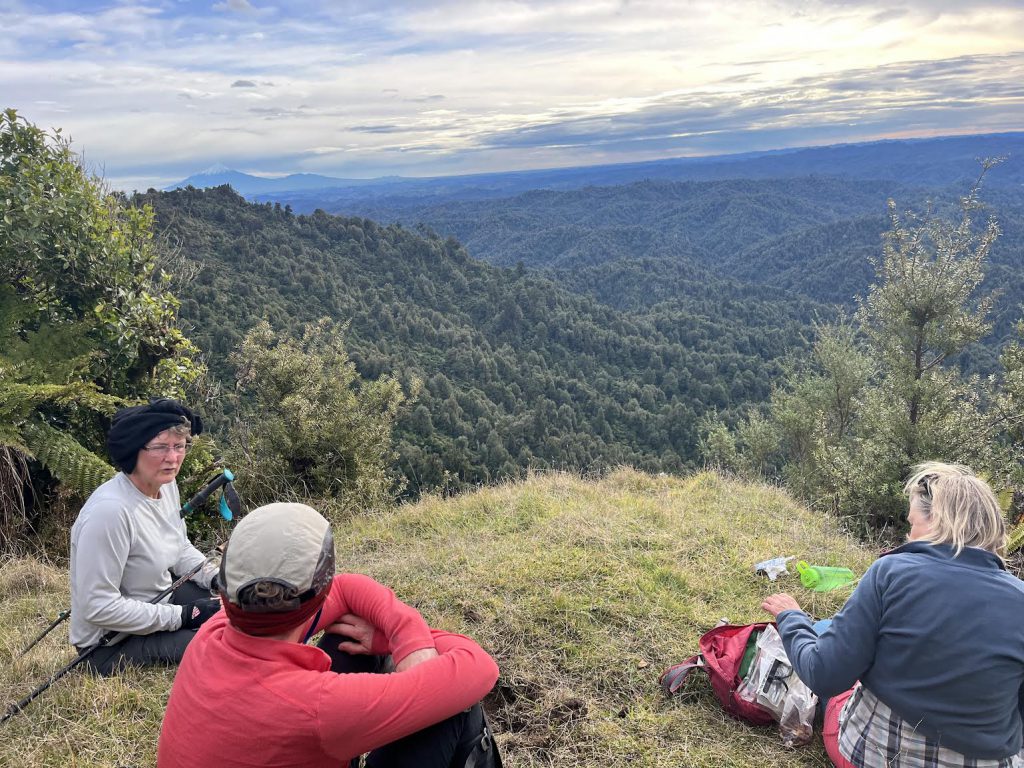
Mt Ruapehu was a regular feature of the trip – we saw it in the distance from the spot where we parked the van at the roadend (at Kohi Saddle), then at intervals through the odd gap in the dense bush during our journey and finally again at our destination, Pouri Hut.
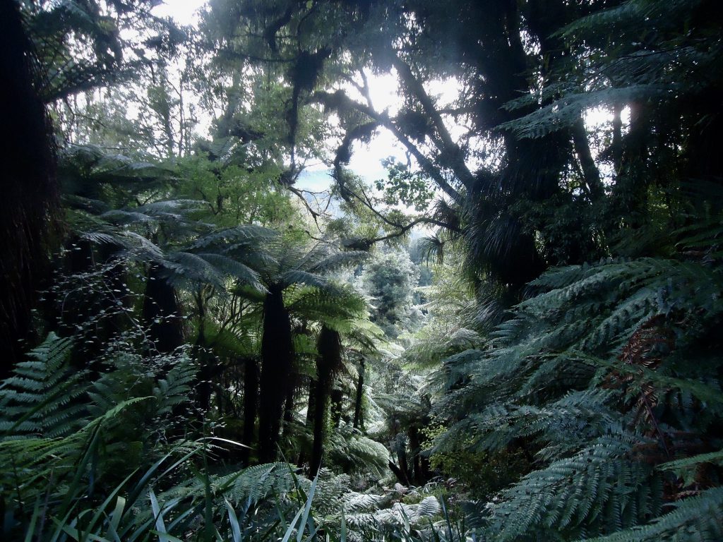
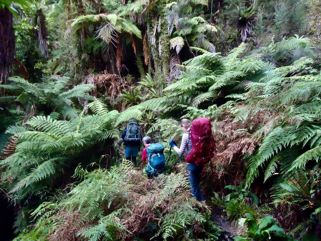
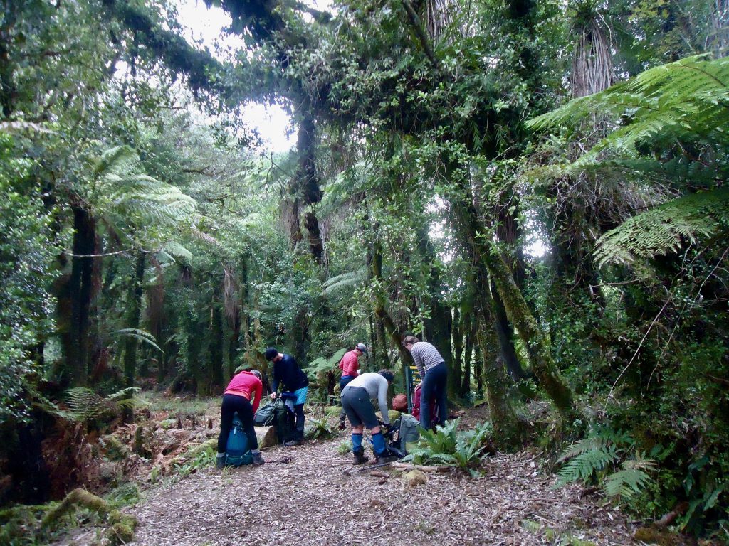
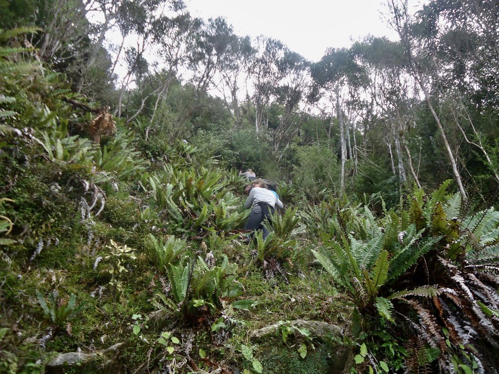
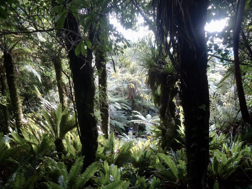
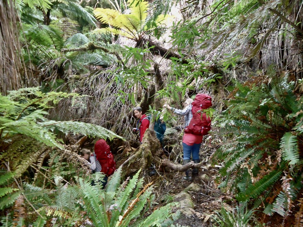
The track was easy going for a medium level trip – a fairly long distance to travel in one day and pretty flat the whole way, but we did it at quite a quick pace, with only a few brief stops and a short lunch break. The bush was dense the whole way and there aren’t many vantage points where you can see views out into the distance. The track also varied in width a lot – sometimes very wide, like a 4WD track, and other times very narrow with a lot of bush encroaching on the track.
It was bizarre not to see a single Beech tree along the whole track! – the area is dominated by tree ferns, ferns, and some Rewarewa (NZ honey suckle). We also came across a few sections of Dawsonia Superba (one of the world’s largest mosses – which look like miniature pine trees) which I’d never seen before.
The track was quite boggy in places too, although I didn’t feel the need to wear gaiters. We didn’t come across any rivers/ tributaries along the whole track. The only water sources are water tanks at each hut.
We also didn’t see anyone else over the whole weekend. You felt like you were in a very remote place where no-one ever goes, which made it feel like quite an exciting adventure. Needless to say, we were therefore very surprised to come across an (old) computer on the table when we arrived at Omaru Hut!
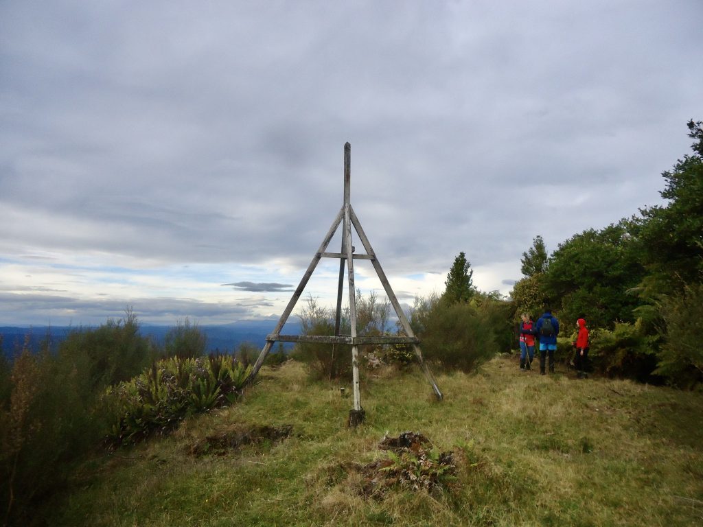
We were keen to arrive at the junction of the main track with the side track up to Mt Humphries (732m). There is plenty of dense bush on the side of the track here, where you can stash your overnight pack before heading up the hill. We were glad we did so too, as it was quite steep going up in sections and it allowed us to travel fast. But I would recommend taking a small daypack containing a PLB, first aid kit, water and camera up with you.
It was quite hard to spot the markers at times on the uphill – the bush was super dense with no clear track in places. But the markers are there – you just need to look carefully – and we did need to backtrack when we found ourselves heading the wrong way a couple of times. We saw a lot of Horopito plants on the way up. Also, beware of the “false summit” – you appear to get to the top as you come out to a small area where the bush clears, allowing you to see views out across the park. But you need to keep going till you come to a wide open grassy section where there is a large trig. We only realised we hadn’t made it to the top after referring to the NZ Topomap app on someone’s phone. When we got to the Trig we could see views of snow capped Mt Taranaki to the left and Mt Ruapehu on the right. It was surprising how flat the rest of the park looked – the hills we could see were all quite small.
When we got back down to the junction with the main track it was off on the last leg to Pouri Hut. On about 4 or 5 occasions there was tree fall over the track – which looked quite fresh. Twice we needed to go off-track for a bit in order to get around the fallen tree and back on the track.
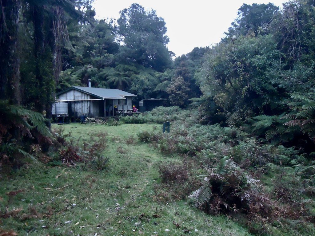
We arrived at Pouri Hut shortly before sunset. There was no wood at the hut – and this was mentioned a number of times in the hut book by previous visitors. So we scoured the forest nearby for anything we could find – the forest was full of ferns, so it was difficult to find enough wood for a fire and what we did find was quite damp. The small, blunt saw and blunt axe we found at the hut wasn’t particularly useful either! Luckily Sam managed to light a fire for us and we were able to keep it going as the damp wood dried by the fire as the night progressed.
Tash and her sous chefs cooked a lovely Laksa (which included re-hydrated mushrooms) and Monique brought along a board game which was very entertaining and enjoyable for those who joined in.
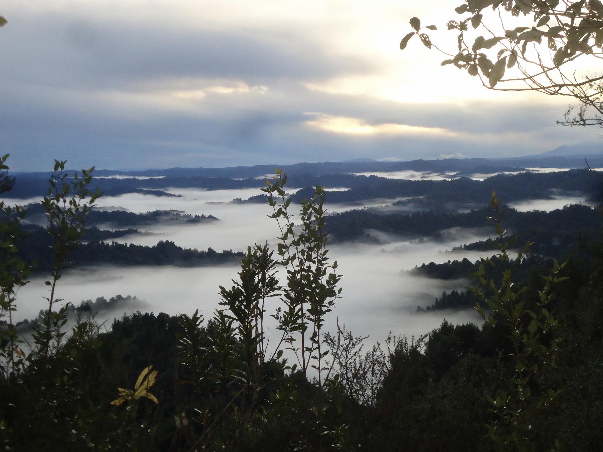
The plan was to be up early the next day, so we could get back to the van as soon as possible, to start our long drive back to Wellington. We started walking at 7.15am and made it back to the road end at 12.20pm. A great thing about leaving so early, when it was still quite dark, was that we saw some lovely views of cloud and mist sitting in the valleys below us from several vantage points along the track.
Once back at the van we headed to the Z service station in Stratford for some good coffee and pies.
It was a good weekend and everyone liked going to an area not often visited by the club – the bush and terrain was noticeably different from many of the trips closer to Wellington. Tash was also relieved to have completed the trip! – as she had needed to cancel it twice previously due to bad weather.
Day 1
Road end to Omaru Hut – 1 1/2 hrs
Omaru Hut to Mt Humphries junction – 2 1/2- 3 hrs
Return trip to Mt Humphries (from junction) – 1 1/2 hrs
Mt Humphries junction to Pouri Hut – 1 1/2 hrs
Total: 8 hrs incl lunch and a few break breaks
Day 2
Pouri Hut to Road end – approx 5 hrs (no lunch break)
I really enjoyed this blog post about the Pouri Hut in Whanganui National Park. The author has done a great job of describing the hut and the surrounding area. I would definitely recommend this as a place to stay if you’re visiting