
Friday (Road end to Powell Hut – 2h 45min)
As we hopped into the van with the EM group on Friday, the vision for the trip was clear: there would be pizzas. How we would justify it as a club trip and what the tramping would actually involve was not as clear, however…
The trip was advertised as a solid Nav day trip to “the Flying Hut” – better known as the old Angle Knob Hut site, blown off its foundations in the ’80s by crazy Tararua winds. Rumour has it, that with a bit of investigating, you can find remnants of the Hut just below the bushline (See: https://www.wildernessmag.co.nz/rest-peace-angle-knob-hut/).
Ironically though, the forecast for the weekend was for strong winds, threatening our plans to travel on the tops to approach the hut site.
It was about 7pm when we sat down at the secret-now-not-so-secret pizza place, on the way to Mt Holdsworth road end. While the service was a bit slow, the pizzas were delicious and large enough for some of us to save a few slices for breakfast and lunch the next day.
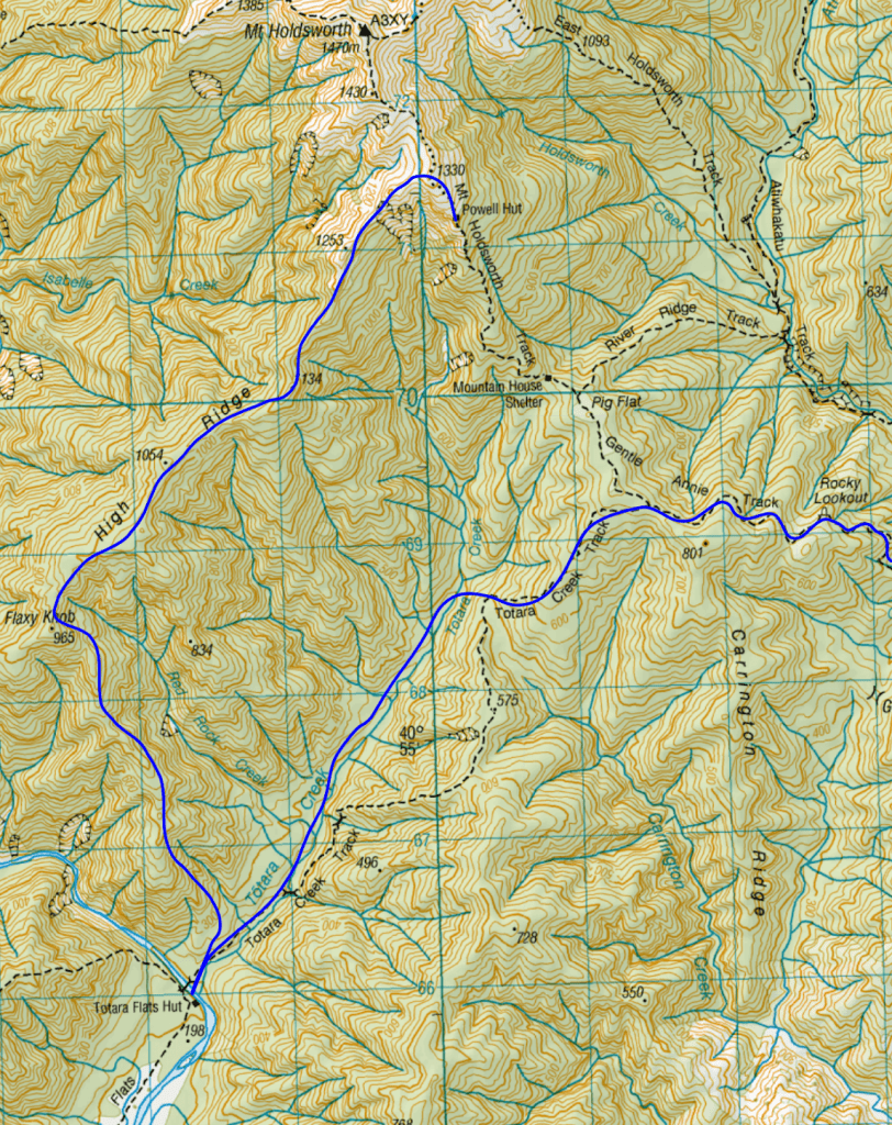
Regrouping at the van, we ran through our options and agreed to change our plans. The Flying Hut would have to wait. Instead, we decided to head to Powell Hut for the night. On Saturday we would follow an unmarked route along High Ridge to Flaxy Knob, go down to Totara Flats Hut, and then back to the Mt Holdsworth road end carpark.
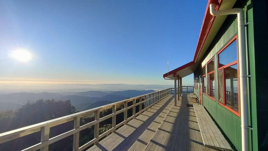
The night walk into Powell Hut was uneventful, although a few of us felt the weight of those delicious pizzas as we were making our way up, gaining about 900m elevation in 2h 45mins. When we got to the Hut, at around 11.30pm, the Hut was still buzzing. Unfortunately, all the people who had gone to bed had taken two mattresses each – leaving none for us. After waking a few people, we settled in for the night…. or for at least a few hours’ sleep – as others in the Hut started getting up before 5am to watch the sunrise. Another suboptimal night of sleep at Powell Hut.
Saturday (along High Ridge, down to Totara Flats Hut and back to Mt Holdsworth road end via old track – 10hrs)
We were all up bright and early – early enough to observe a DOC helicopter arrive and then depart (bringing in gas bottles for the Hut’s stoves). At 7am we left the hut and made our way up the track to the High Ridge intersection sign, enjoying a strong morning breeze.
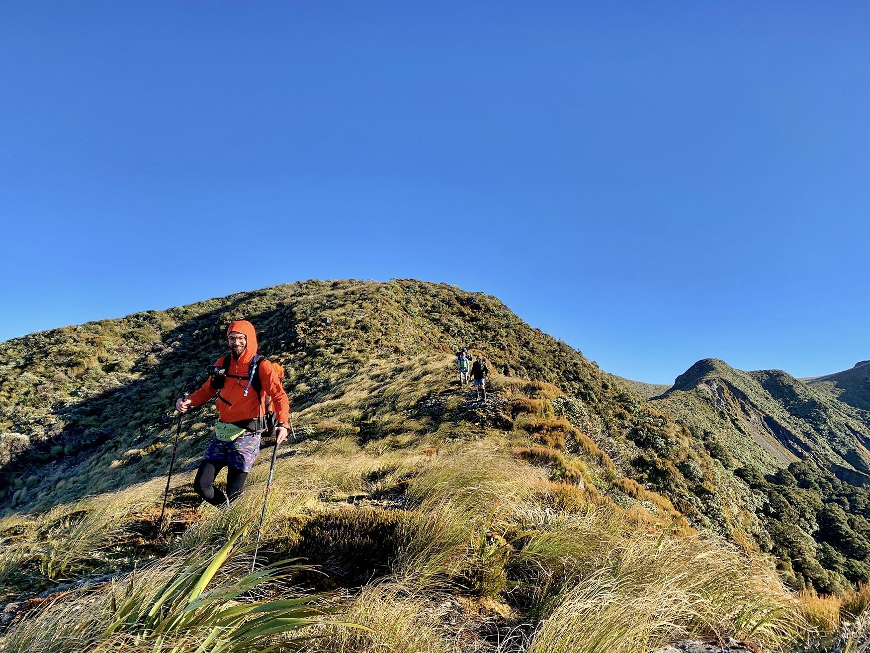
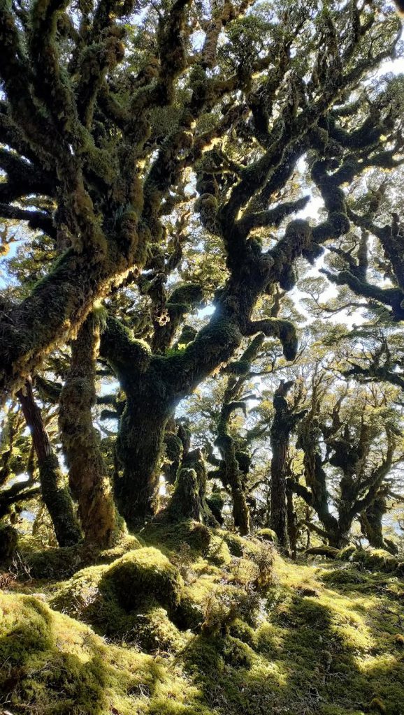
Travelling along High Ridge was straightforward. There is a ground trail that is fairly easy to follow – a little exposed to the weather to start with, but it quickly ducks into the bush. As we were travelling, Paul mentioned the existence of an unusually high waterfall that you can see up close if you access it from the bottom (up Isabell Creek). Another trip for the wish list.
We were happy to find shelter amongst the trees and patted ourselves on the back for deciding to abandon plan A, as the wind was clearly picking up. It took about 2.5 hrs to reach Flaxy Knob, where we stopped for lunch #1.
The following section took us straight down towards Totara Flats Hut. The terrain and route-finding were a bit more challenging here and travel was slower than anticipated. We eventually popped out onto the track after just under 3 hrs and made our way to Totara Flats Hut for lunch #2 and to take our packs off.
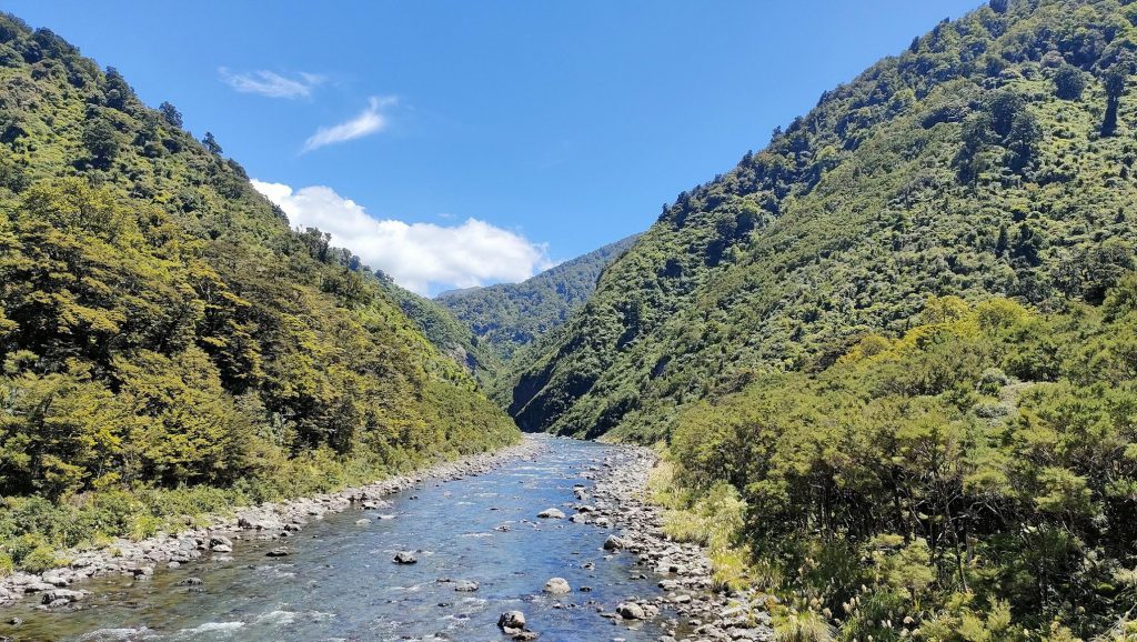
After a little rest, we started making our way back to Mt Holdsworth road end carpark. For a change of scenery, and to avoid unnecessary ups-and-downs, Paul suggested we take the old Totara Flats Track (rather than the current DOC Totara Creek Track). To access the old track from Totara Flats Hut, you cross the bridge over Waiohine River and follow Totara Creek Track. Instead of crossing the second bridge (over Totara Creek), stay on the true right of the Creek and look for tape or markers. The track follows the Creek, and after a good hour it eventually joins up with Totara Creek Track – a refreshing alternative to the current Totara Creek Track, although a bit more difficult. Check old topo maps at http://mapspast.org.nz for more info.
While the old track is no longer maintained, markers are still there. A bit of route-finding is necessary, but travel was mostly straightforward…. Except maybe for the adrenaline inducing encounter with a (large) wild pig. The poor thing didn’t expect us to be there, and out of confusion ran straight towards the track where we were. There was a bit of squeaking – from both trampers and the pig – before it zoomed between us and disappeared into the bush.
Once back on Totara Creek Track, we had another good break as the legs were starting to feel a bit wobbly, and shared some water and snacks.
From there, we only had to put one foot in front of the other to get back to the road end. As we were running behind schedule and knew that the EM group would be waiting for us, Nate and I went ahead – with the rest of the group only 15 mins behind.
All up, on Saturday it took us 10 hrs (with breaks) to cover almost 20 km and a surprising 1,000 m total elevation gain according to my watch.
For winter Powell Hut photos go to Powell Hut in July 1968, 2024 and 2054.