
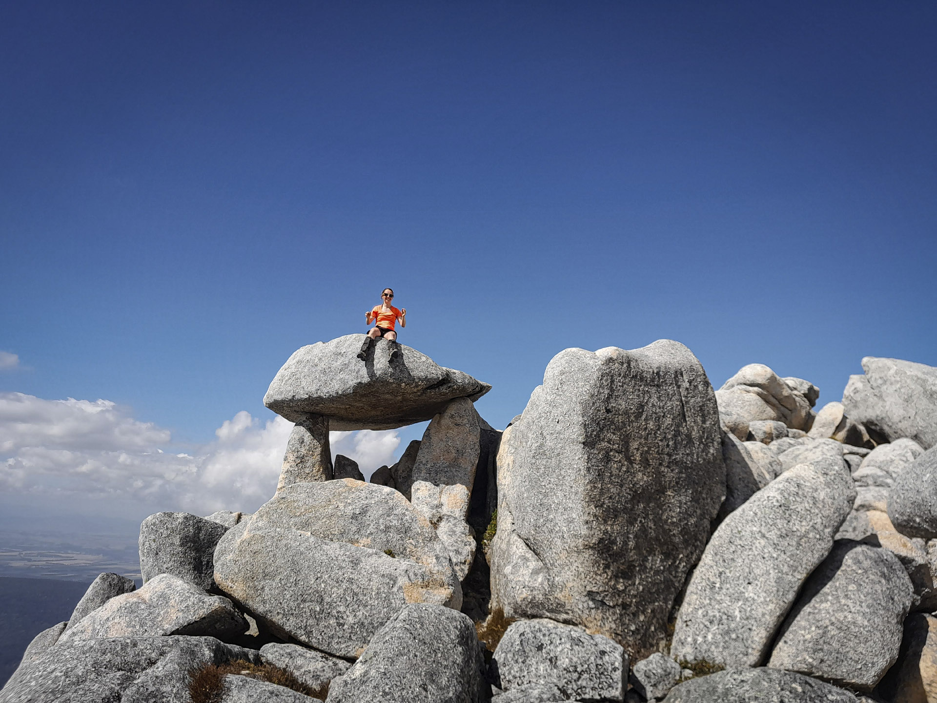
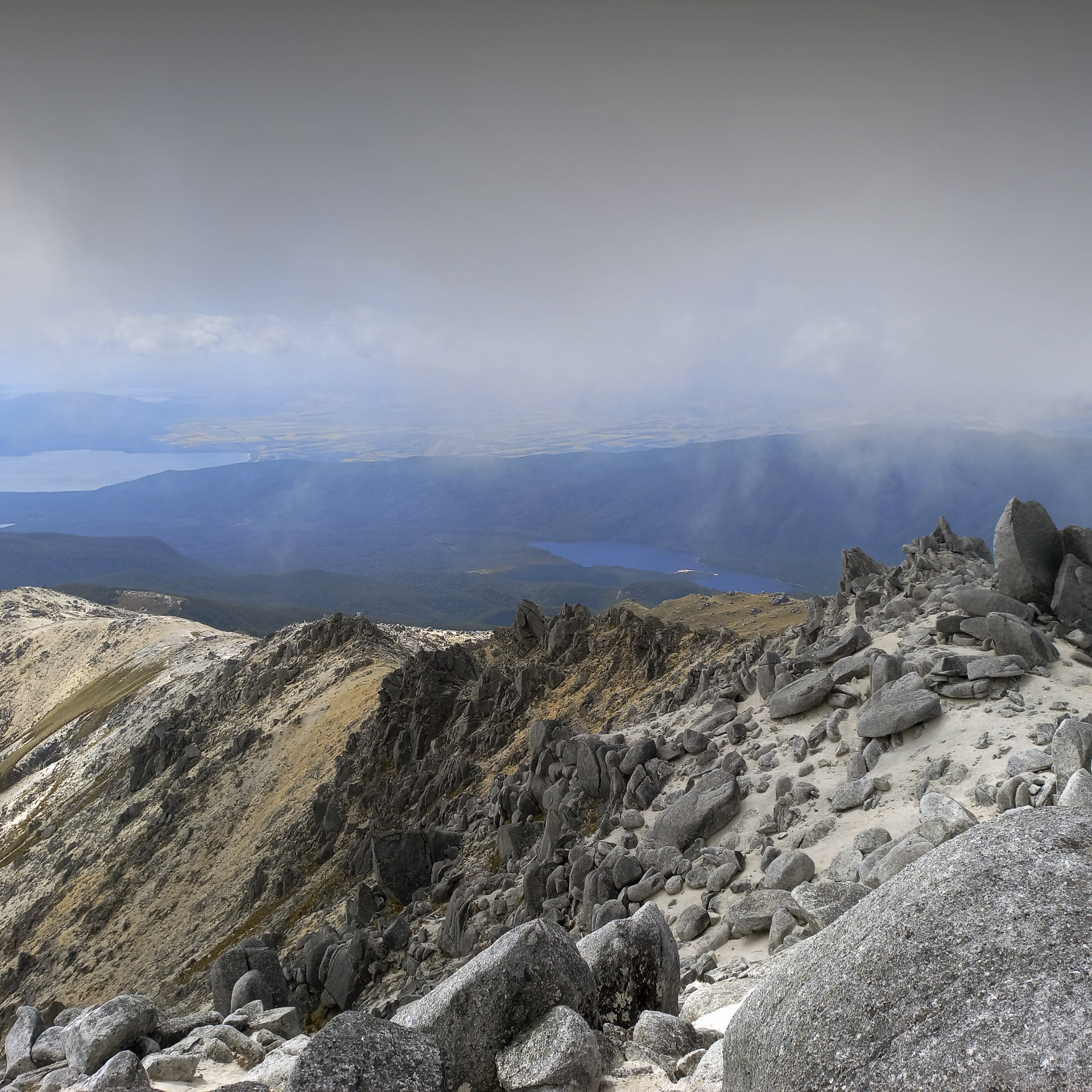
The snows of Mt Titiroa
A climb to the summit of Mt Titiroa – the snowy appearance is white granite sand.
We had just come off the South Coast Track after a trip into Westies Hut in Fiordland National Park, and after a quick stop in Tuatapere to restock we ended up in a caravan at a campground in Manapouri. The idea was to do a spontaneous trip up Mt Titiroa while the good weather in Fiordland continued. That night we were treated to a spectacular lightning show over the Murchison Mountains, which is the home of the takahē and where I had recently been volunteering—see here.
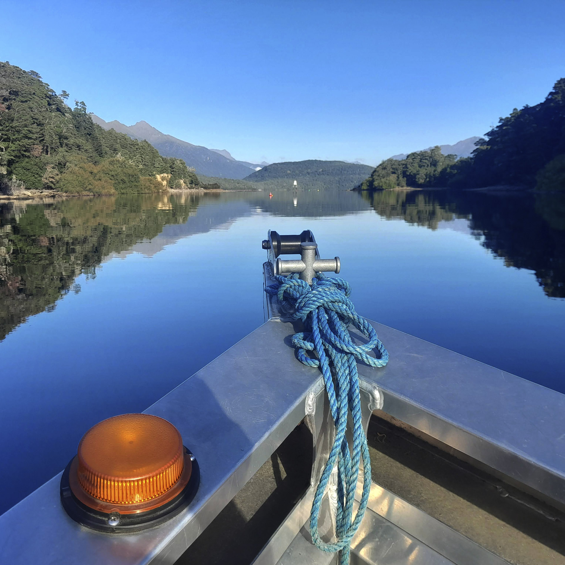
The next morning we took a quick boat ride across the Waiau River. It was a very calm day so the river was like a mirror with all the reflections. After getting dropped off on the other side it was an easy walk through typical South Island beech and podocarp forest to Hope Arm Hut. On arrival at the hut it looked like the apocalypse had happened because we found a small village of tents and gear seemingly abandoned, almost like it had been done in a hurry, which all seemed very strange. We enjoyed creating outlandish stories to explain this over lunch. However, the hut intentions book provided a simpler answer—a school camp that had obviously gone on a daytrip.
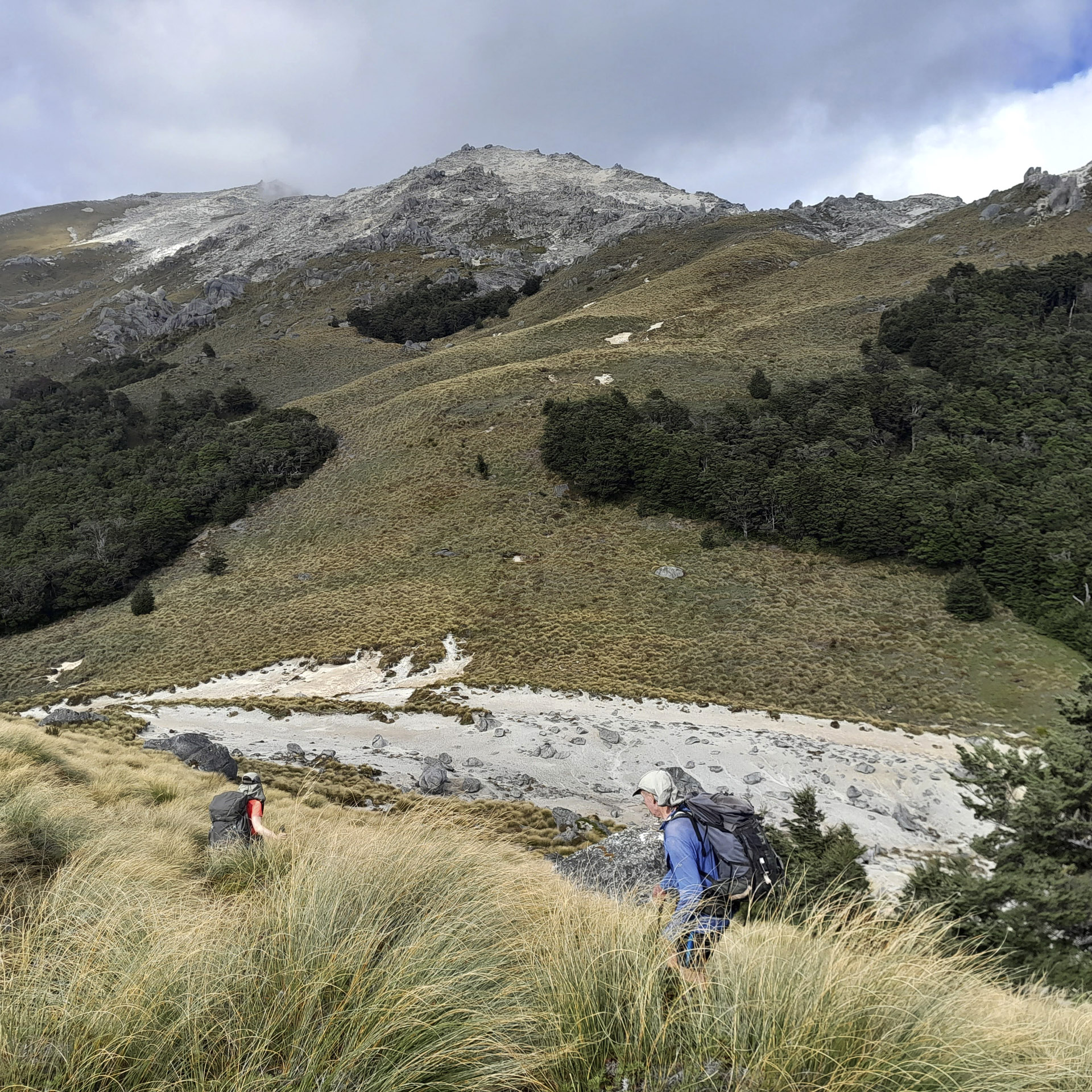
It was a long climb up the Snow White Clearing Track on a very hot afternoon. I entertained myself on the climb by trying to decide which one of the seven dwarfs I should be. The track down to Garnock Burn was littered with tree fall so it was pretty slow going. We were climbing over and slithering under trees; and sometimes having to hunt around to find the next track marker.
It was from here we got our first sighting of Mt Titiroa. Looking up at the mountain, it appeared to be covered in snow. Tony watched me while waiting for me to say something. I think he was ready for me to exclaim that we hadn’t bought alpine gear so wouldn’t be able to climb to the summit. However, I had a sneaky advantage from doing some research the night before. I had learnt that this ‘snow’ is actually white granite sand that gives Mt Titiroa the appearance that it is covered with snow all year around.
We finally made it to Garnock Burn where we set up camp that would be our base for two nights. Again, we listened to the rumble of thunder that night interspersed with the calls of kea. While cooking dinner, Tony accumulated what seemed like the entire population of Fiordland’s sandflies around his black long-johns. This then attracted a toutouwai to come and attempt to catch them all. Possibly this is the new method of insect repellent? The sandfly population was so extensive that I thought it was raining until I realised it was actually the sound of sandflies hitting the roof of my tent!
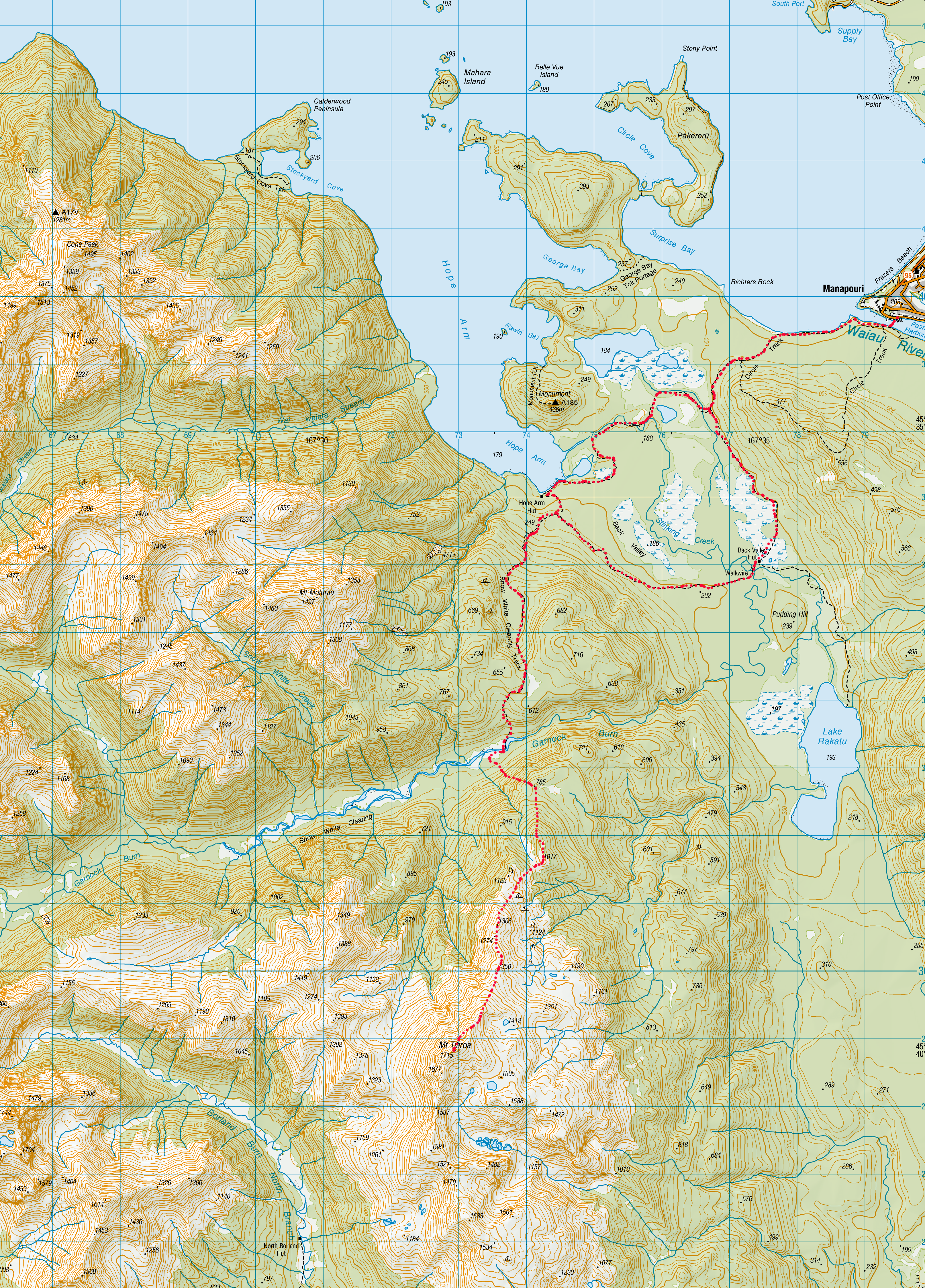
The next morning we packed daypacks and crossed the river to start up the climb to Mt Titiroa. We basically took a south-east bearing keeping to the true right of a prominent stream. This got us to spot height 785 where we found a stick cairn. From here we took another bearing to spot height 1017. It was mostly open bush that had a bit of a foot trail in some places but there were a few bluffs that we had to avoid.
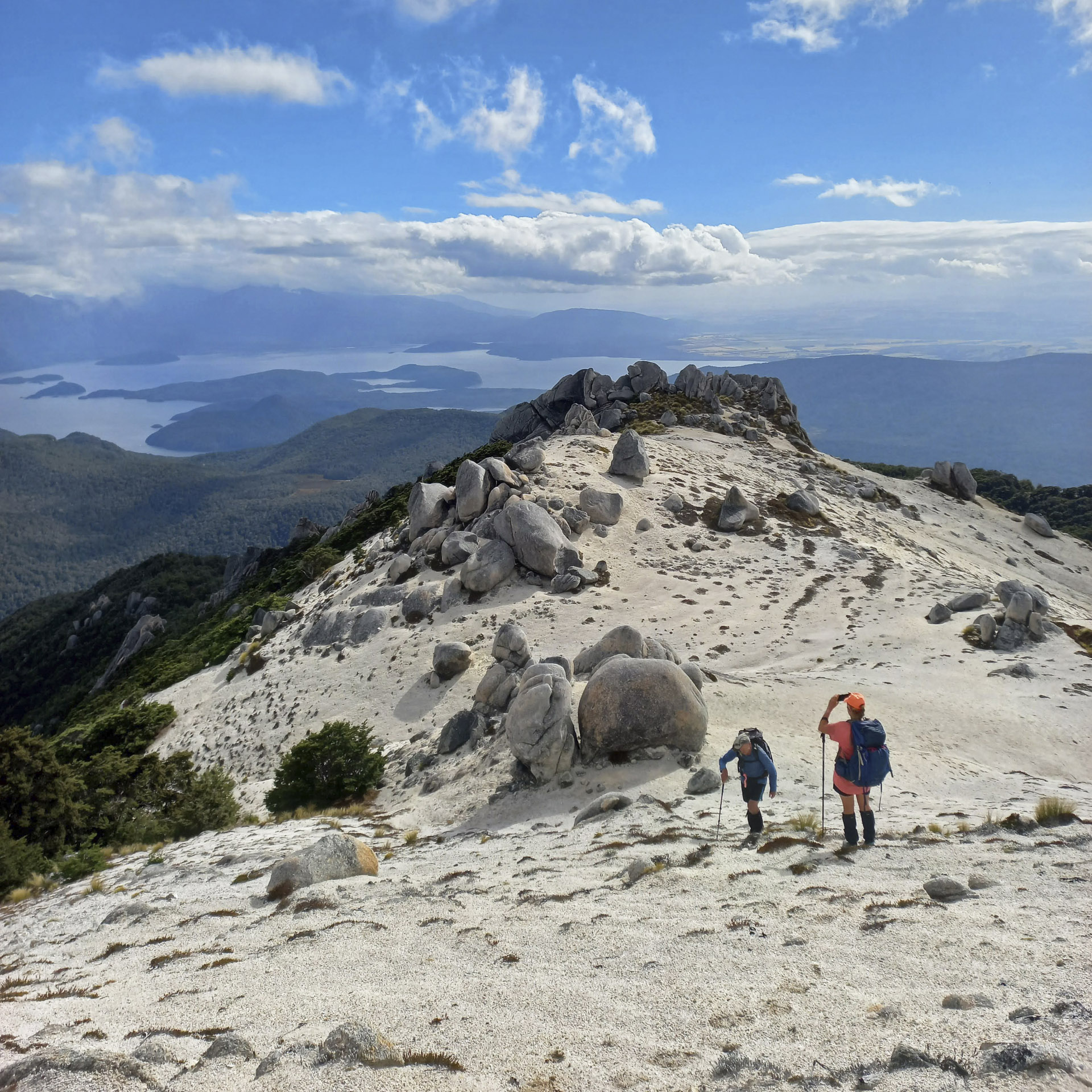
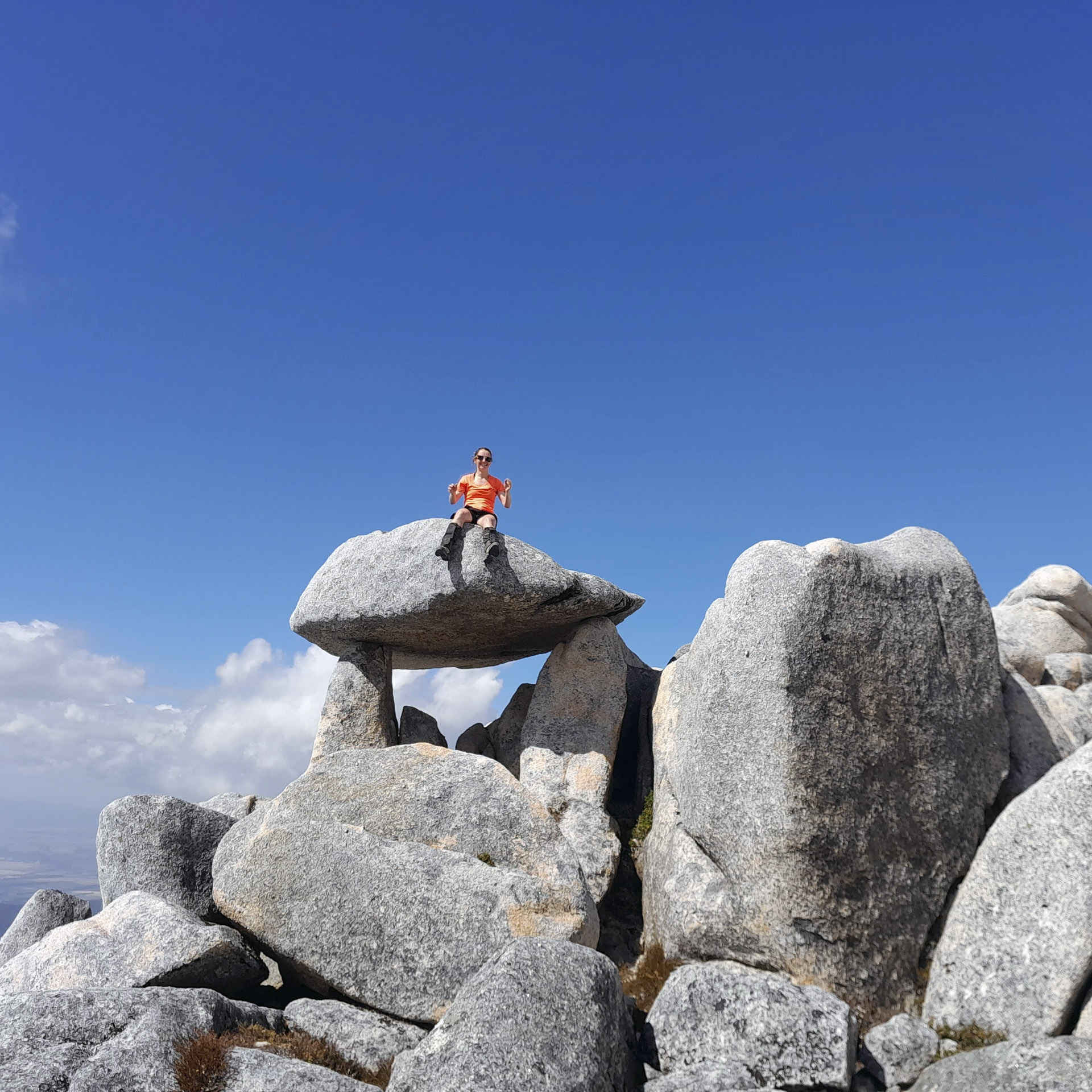
Once at the bushline edge it was easy travel through some tussock slopes before we got into the ‘snow.’ Mt Titiroa is well known for all its odd shaped rock formations. I enjoyed seeing shapes and animals in them all. I think the most distinctive two were the boulder that looked like a whale and a rock balanced precariously like a flying saucer on top of two rocks. My only theory to explain how the rock got there was aliens. Tony explained the geology—and also how I may have been so desperate to see a kea that I could make almost anything masquerade as one—see here.
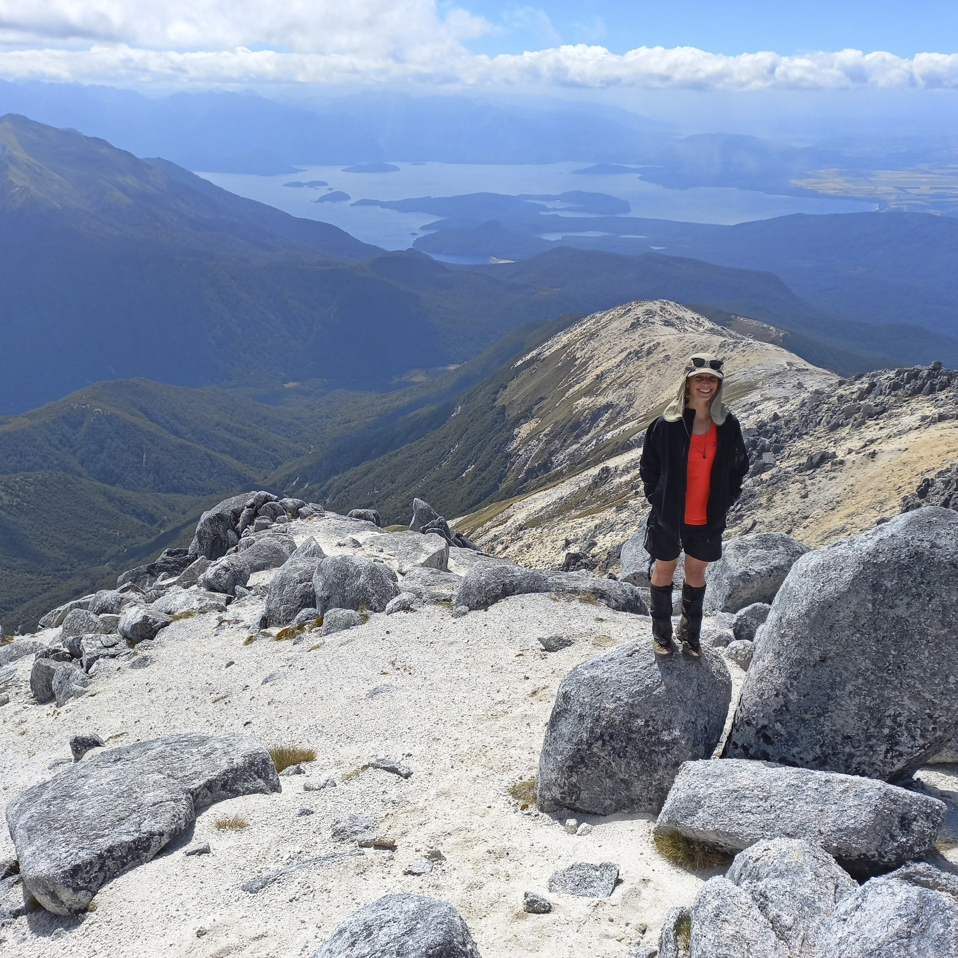
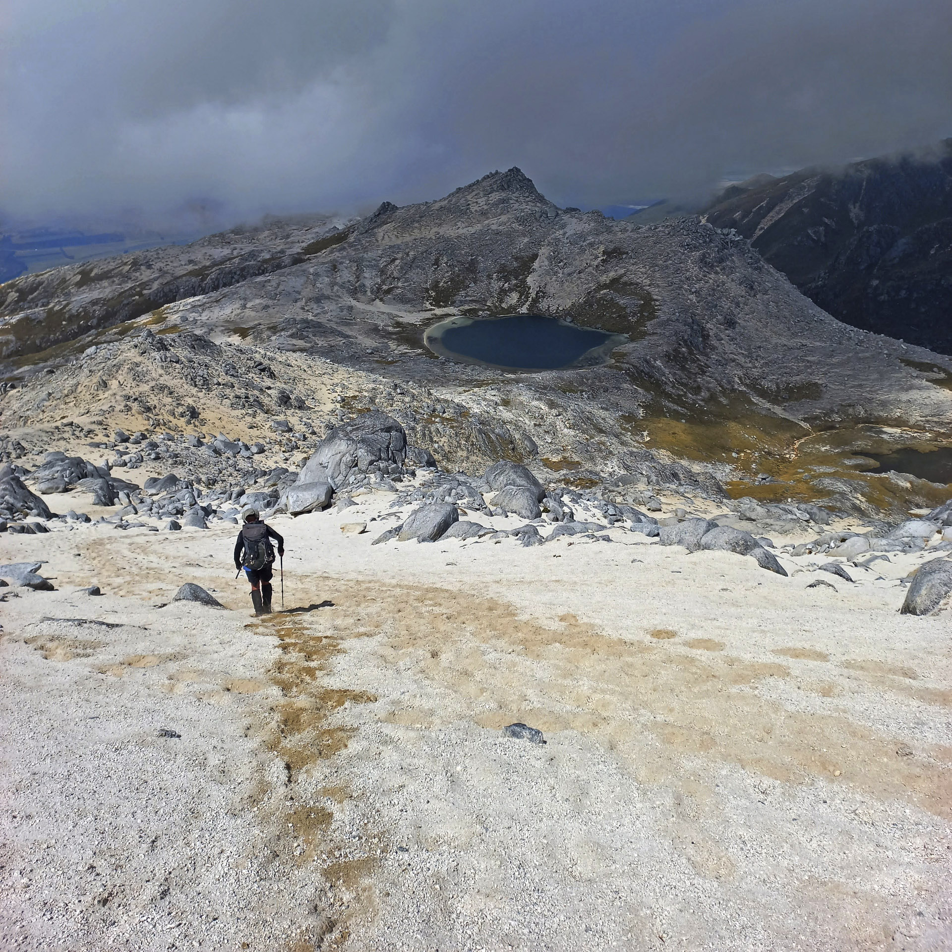
While it was a slightly hazy day we still had wonderful views down to Lake Manapouri and Lake Rakatu and the surrounding mountains. We followed the ridgeline up for a long time before we eventually reached the summit of Mt Titiroa where Jamie efficiently boiled water for a hot drink for us all. We could see the tarn down by spot height 1412 which would be a fantastic camping spot.
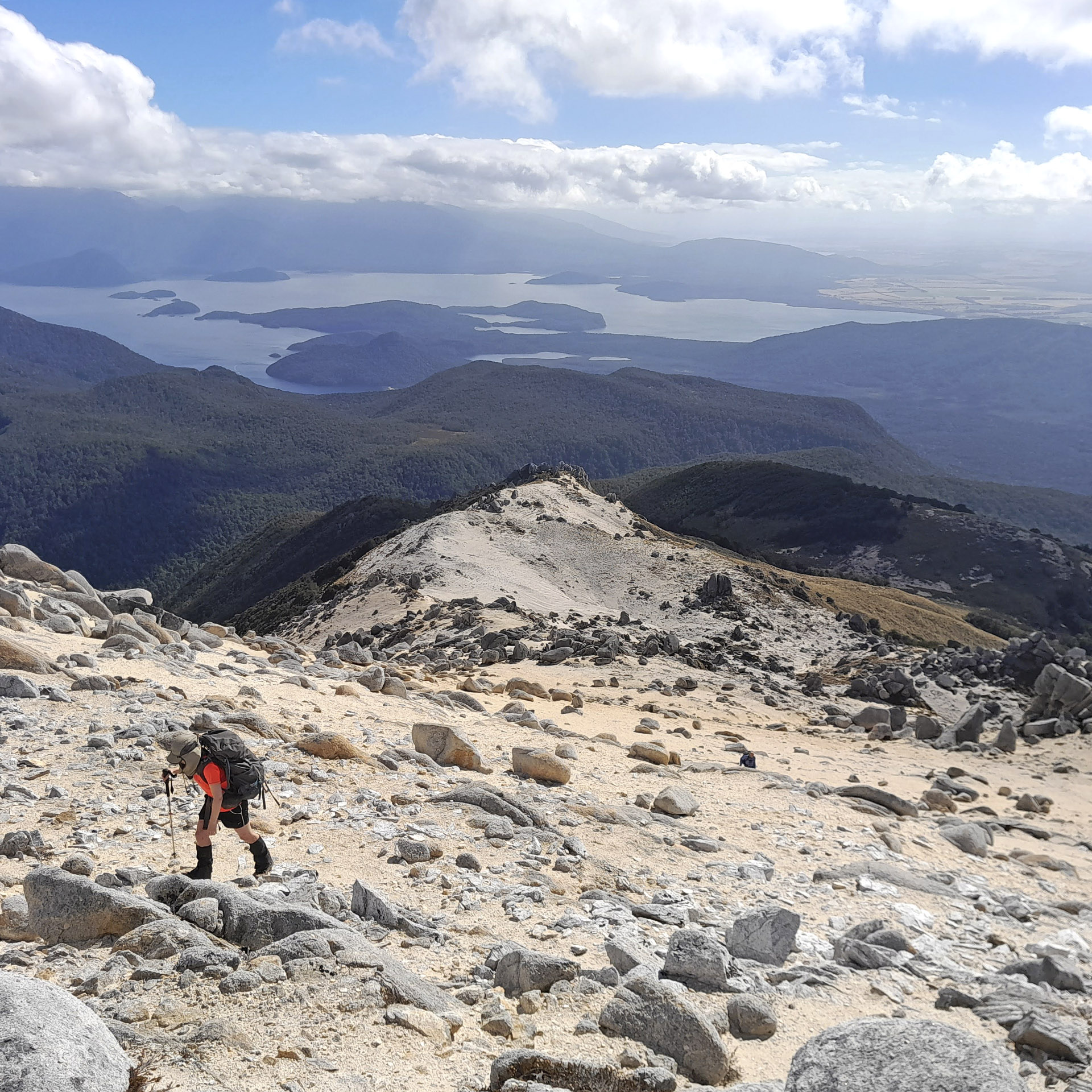
The clag began to roll in intermittently so after our laze on the summit we started to make a move. We did a small detour off the ridge to get some water as we were getting low. It was an easy walk back down to the tussock and bush edge. Unfortunately, my bearing on the way down led us straight into the bluffs so we had to backtrack a few minutes to avoid them.
The next day we packed up camp and climbed back up the Snow White Clearing Track. Jamie and I were keen to loop around to Back Valley Hut before finding a place next to Lake Manapouri to camp. Tony’s injured knee was bothering him and he wanted to take it slowly so he told us to go on ahead with the longer route via Back Valley Hut and he would continue more slowly and find a camping spot for us.
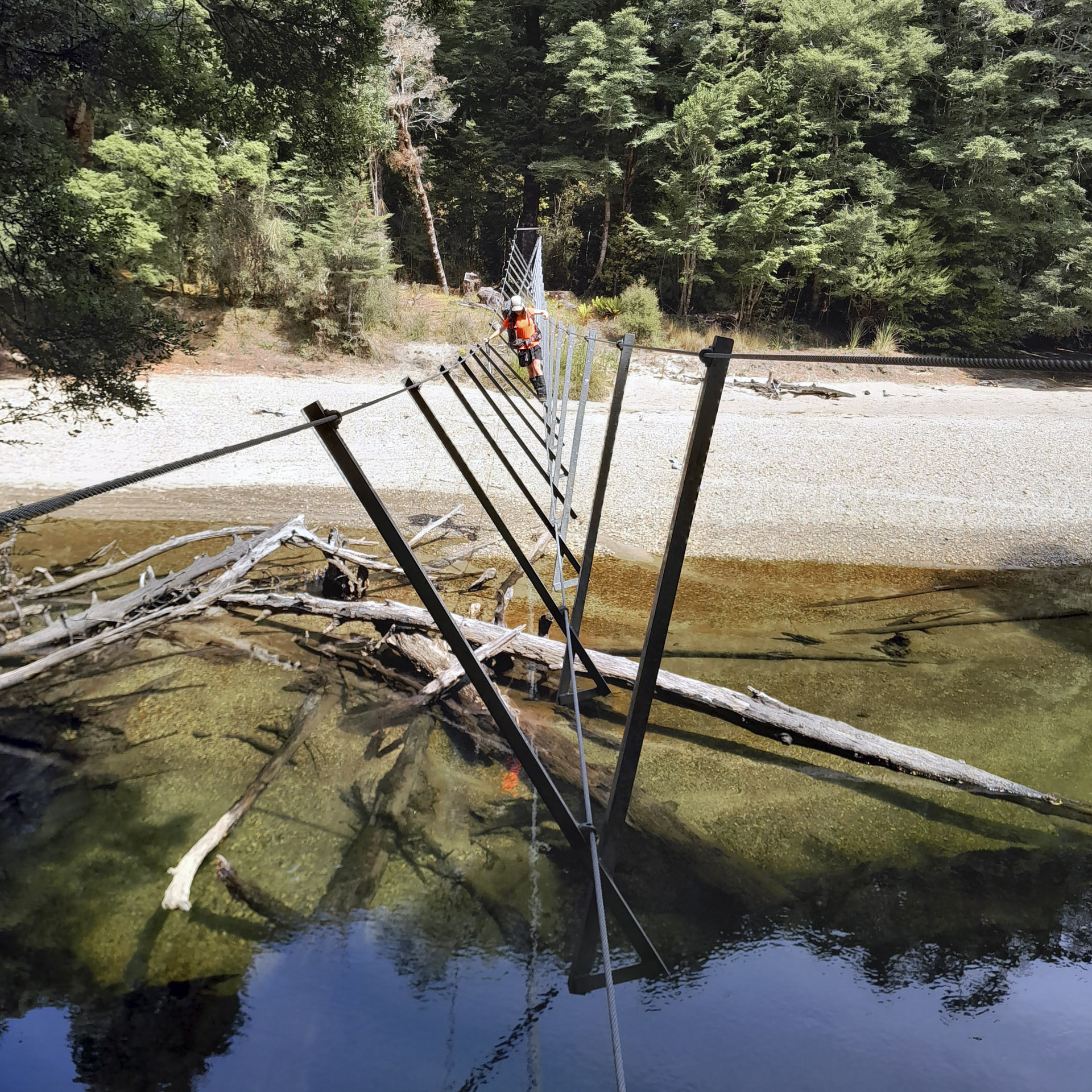
Jamie and I weren’t too keen to split the group but Tony convinced us and we made a plan to meet up later that afternoon. The track around to Back Valley Hut was full of ferns and reminded me a bit of Stewart Island at times. There was a precarious 3-wire bridge that we had to cross that had a distinct right lean. You had to walk across leaning your weight as much as possible to the left to counterbalance the force that was trying to throw you to the right. After Back Valley Hut we continued to loop around to the main track not before I fell into a swamp pretending to be an ogre.
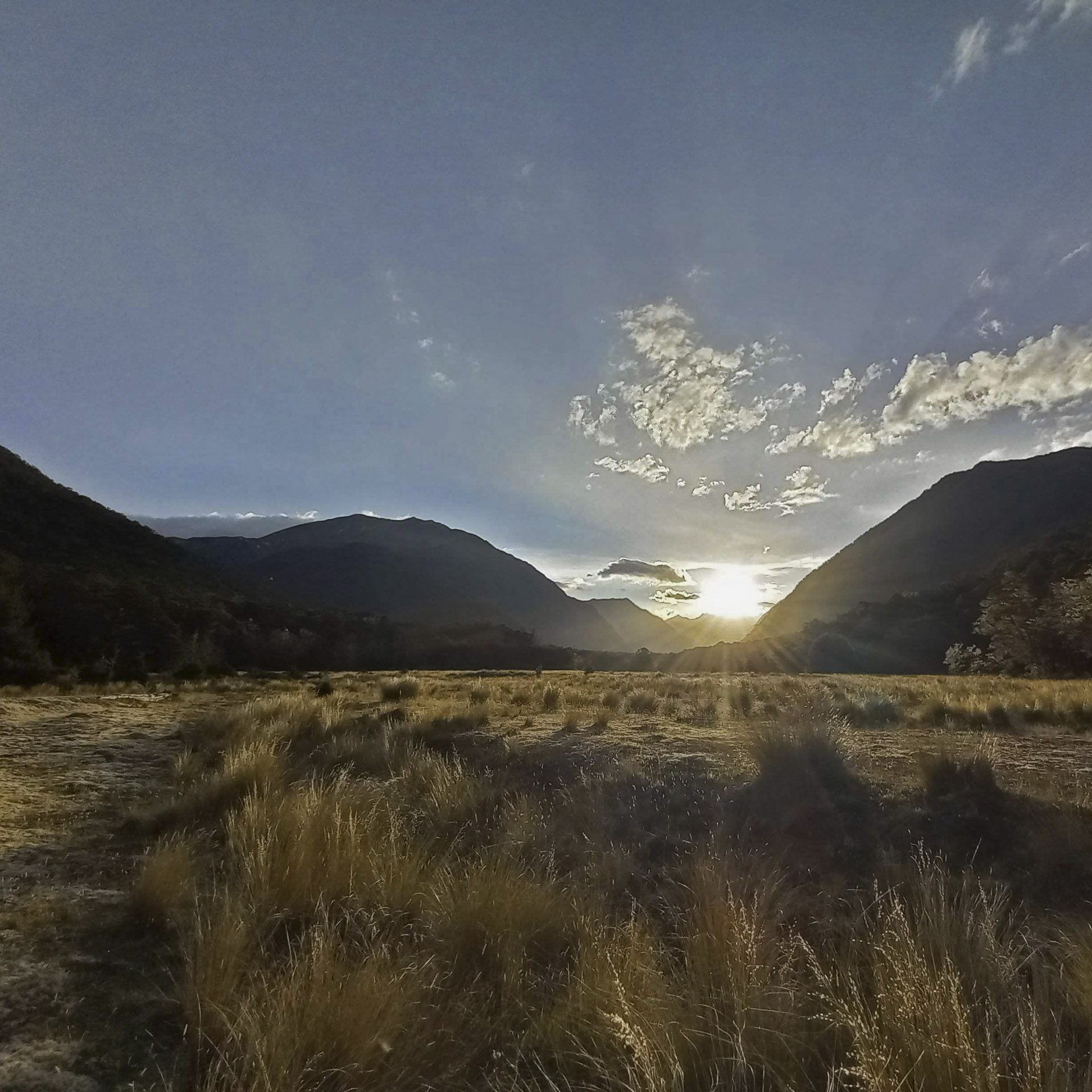
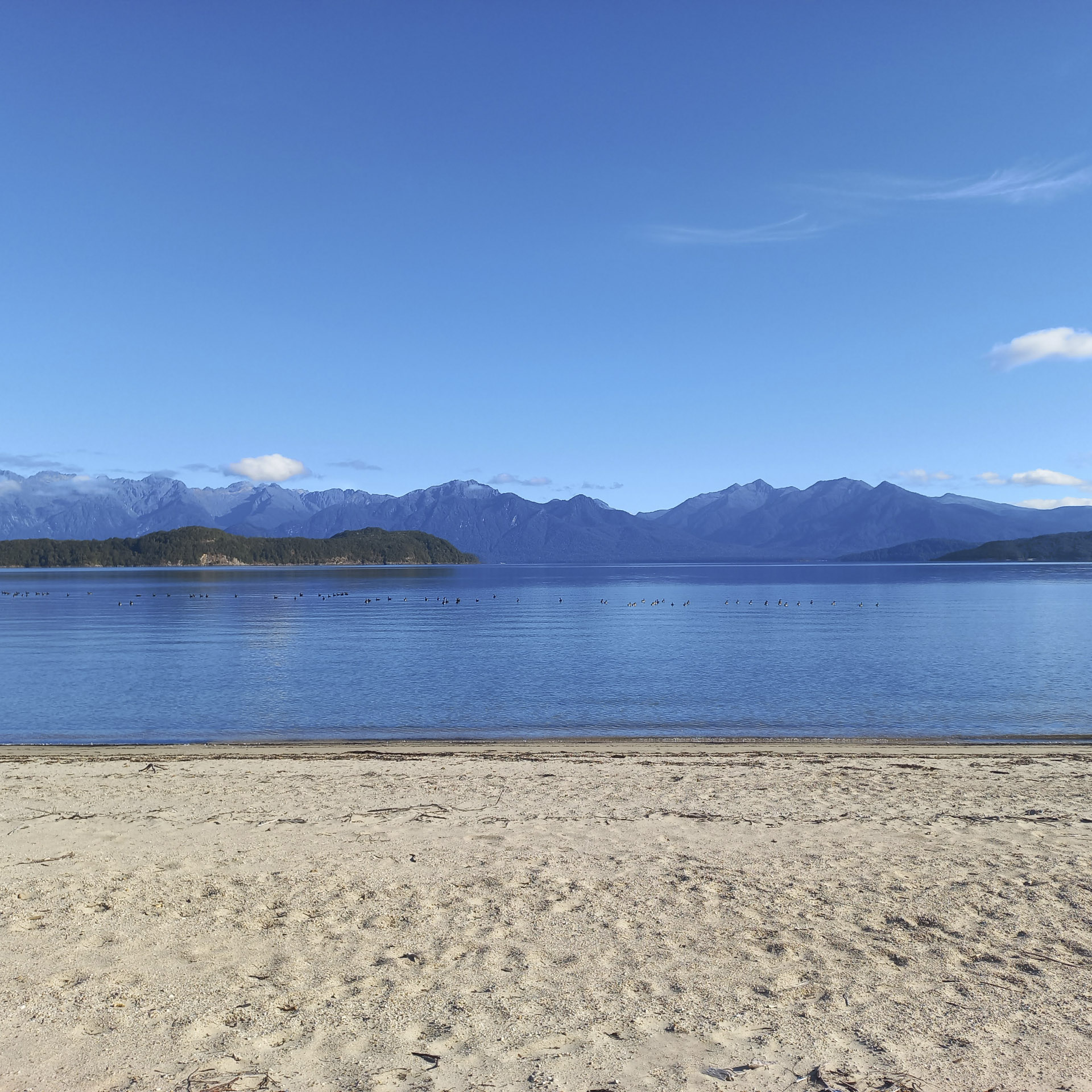
Back on the main track we started looking for any signs left for us by Tony before finding a big arrow on the ground pointing in the direction of Tony and our campsite for the night. It was tucked away behind some bushes right on the edge of Lake Manapouri in what I would rate as a 10/10 camping spot. We all enjoyed a swim in the lake before dinner and we watched a nice sunset over the Kepler mountains and then later a starry sky.
The next day we just had a short walk to the water taxi back across the Waiau River. After changing and brunch it was straight to the playground to have a go on the flying fox before we started the road trip back to Picton.
Photos: Sarah and Jamie
https://photos.app.goo.gl/wCwVVdgeNyKo6HFR8
https://photos.app.goo.gl/MCpepuf73R54cyks9
The report of a tramp/ packraft on Lake Manapouri is here
The report of a tramp/ packraft on Lake Monowai is here