
This was my first overnight trip with the club, and first overnight trip in general since 2014, so I was excited to re-acquaint myself with hut life!
Saturday
We met at Wellington train station on Saturday morning and, after a lunch stop at the Brown Sugar cafe in Taihape, parked up as close to the start of the track as possible – right on the side of SH1. This is the only place you can access the track. There is only room for a few cars and nowhere to park to conceal your car from everyone driving past.
The first challenge was locating the start of the track. Access is via private farmland – but you do not need to get the landowner’s permission to cross the land. After squelching our way across a couple of cow paddocks (and crossing a small river which runs through the farmland via a swingbridge), we spotted the all-important orange marker which indicated the start of the track proper. The marker is fixed to a fence line which separates the grassy paddocks from the bush and you need to walk up a grassy bank to reach it.
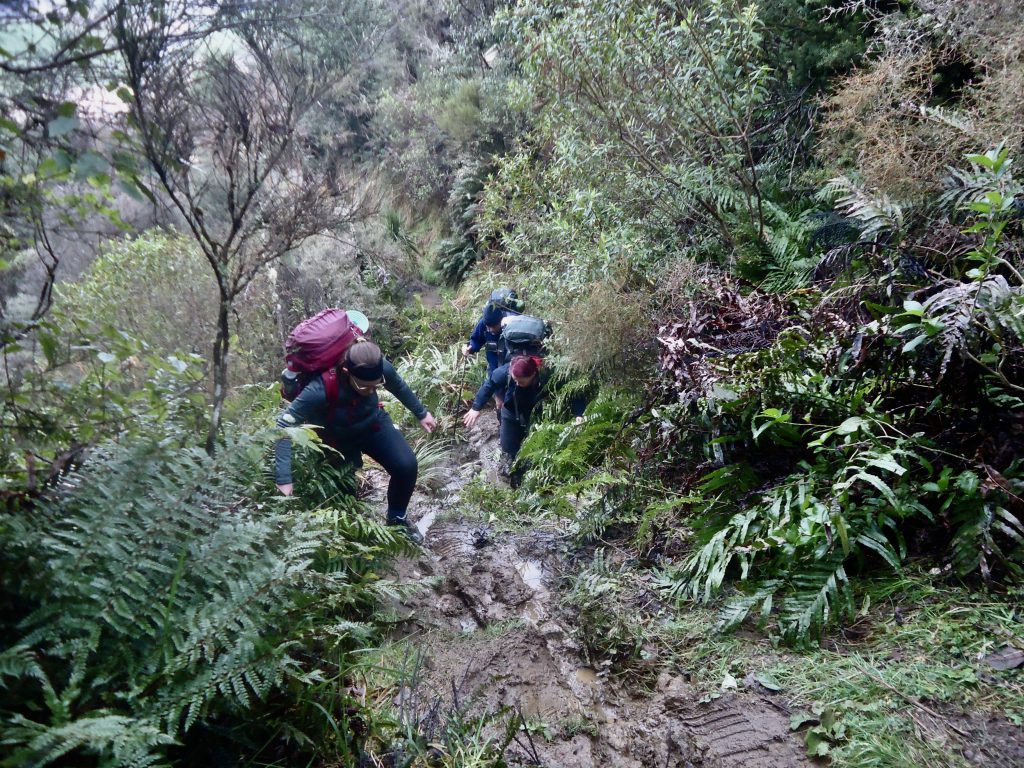
The squelchy paddocks turned out to be a sign of things to come. Once you reach the orange marker and climb over the fence you’re in the bush and on the track. We quickly hit a couple of boggy patches. These were then followed by some fairly steep – and muddy – uphill sections that tested both our legs and our surefootedness.
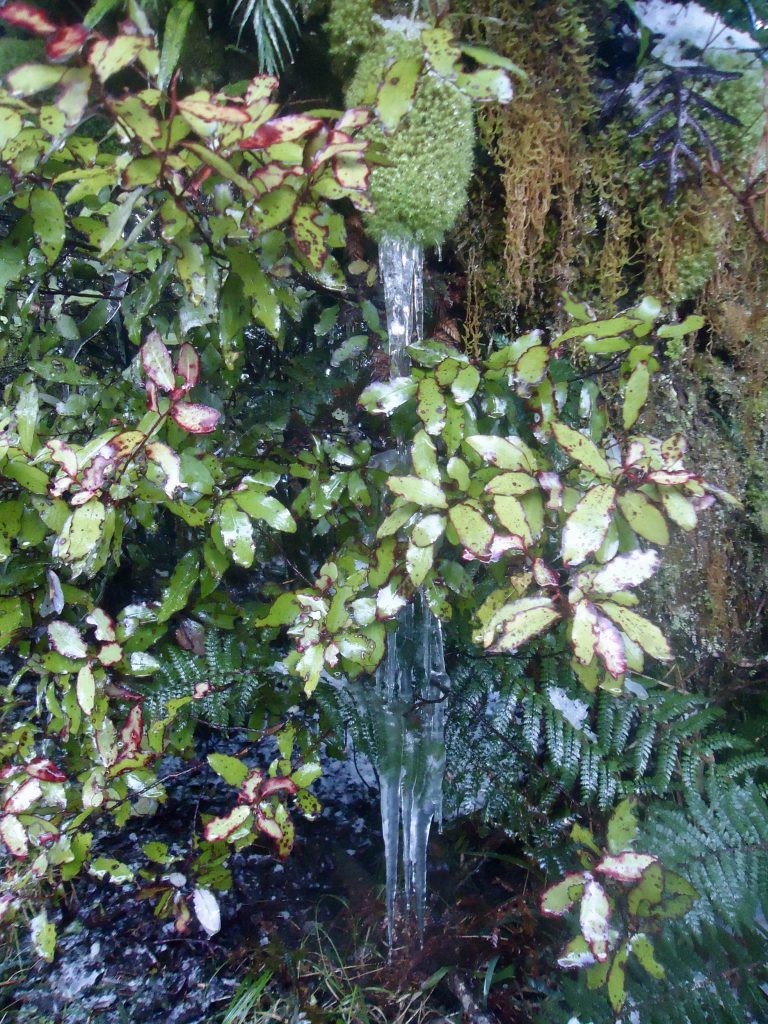
As we climbed higher the snow coverage increased, until it was about ankle deep in places on the track, and completely undisturbed bar the odd deer tracks. In total we walked in snow for about 2 hours.
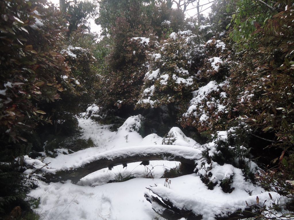
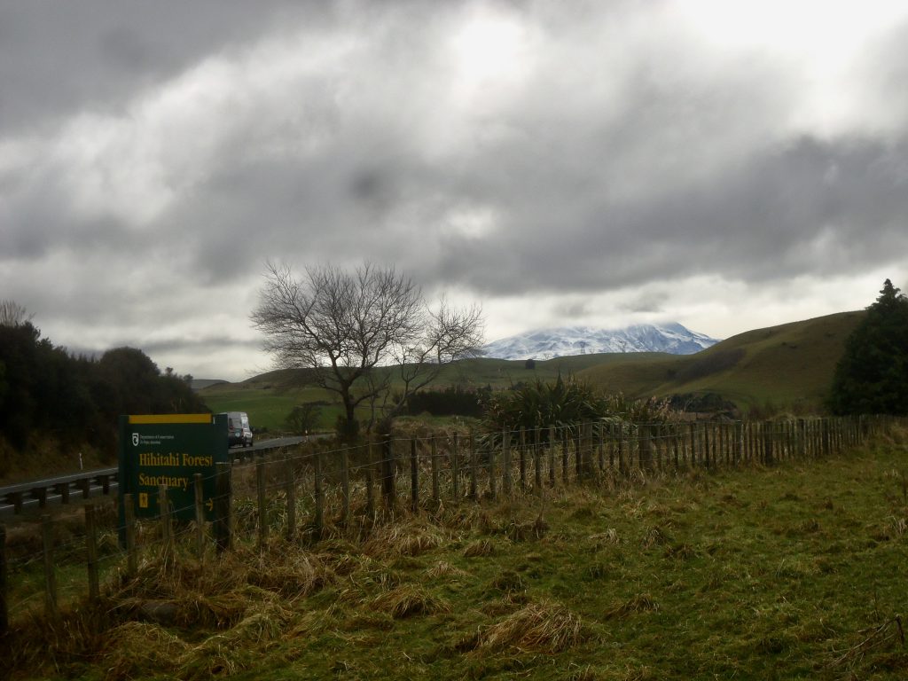
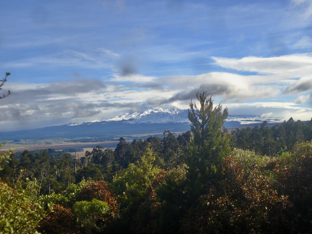
After about three hours on the track we made it to the highest point – the summit of Mt Hihitahi- at 1116m elevation. It unfortunately lacked the views of Mt Ruapehu that we’d been hoping for due to cloud cover. It was a bit chilly by that point, and I was keen to make it to the warmth of the hut – which was promised to be a quick, if steep, descent down the other side. And then the real fun began! ….

The track down resembled a mud-based slip & slide more than a track at several points, and we all fell on our dignities at least once. The various mutterings about the 3 hr DOC time and ‘easy’ rating grew somewhat louder during this process. And there were no orange markers visible on the way down after you emerge from under the trees.
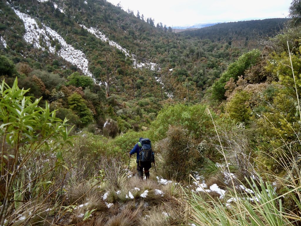
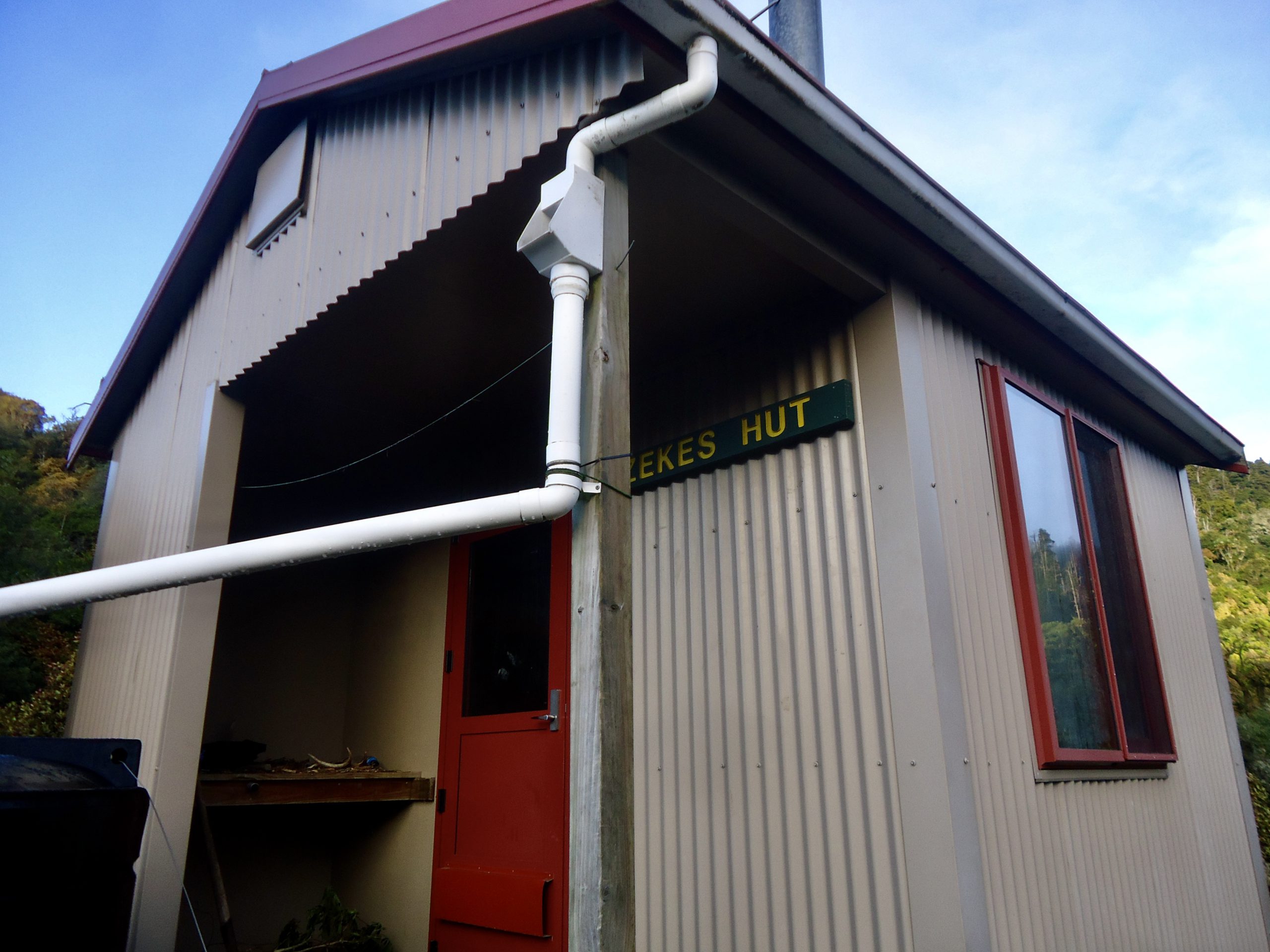
Just over an hour down from the summit, Zekes Hut finally came into view, but not before one of David’s walking poles had taken on a distinctly more curved shape than at the start of our walk.
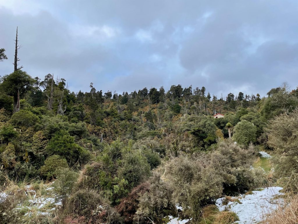
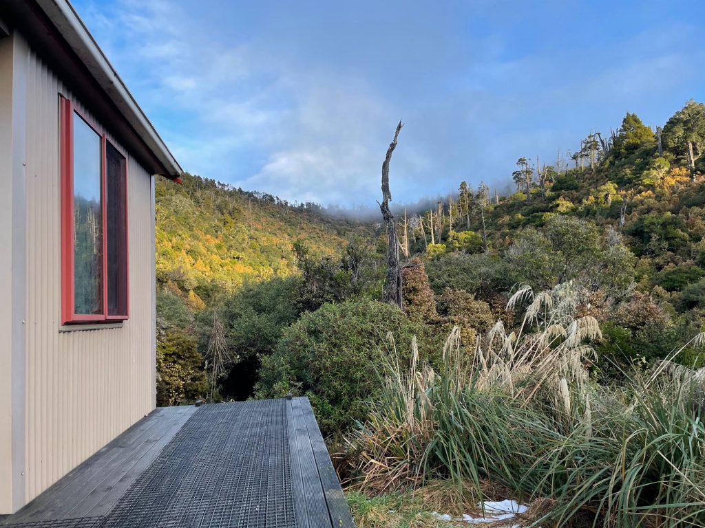
My excitement was dampened – literally – somewhat by the lack of any decent firewood at the hut; but some dry clothes and a cup of tea helped. We got the fire going for an hour or so with what wood was available, and with the size of the hut best described as ‘cosy’, things quickly warmed up. There was really no room to sleep any more than 4 people in the hut with everyone’s packs inside too. And no large flat areas outside where you could pitch tents. Inside the hut there are 2 benches to sit on and a small aluminium bench you can use to cook and prepare your meal – and there’s really only enough room for one person to do so. There is a water tank right outside the hut and although Kaitapu Stream runs through the area, there is no river or stream visible or accessible from the track or the hut.
After a delicious one-pot pasta dinner, I was feeling much more optimistic, even after getting slightly lost on the way to the toilet (a shared group experience!).
Sunday
The next day promised to be much sunnier, although we were all slightly dreading the climb back up the hill, after yesterday’s mud-based fun.
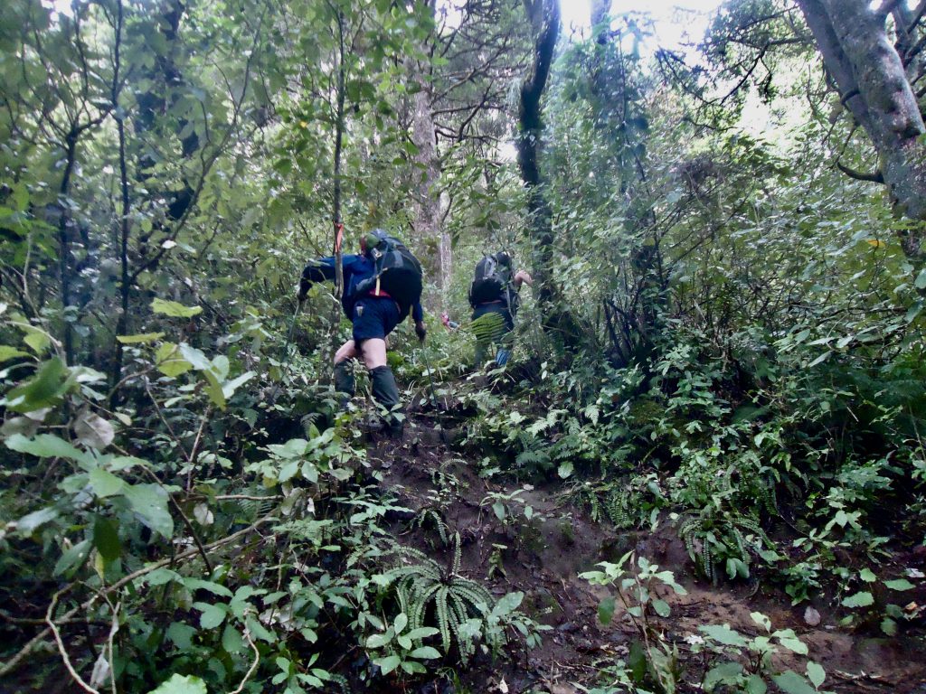
However gravity was on our side, and with the assistance of assorted bushes, trees and ferns lining the track, we managed to haul our way up to the summit after about 1 1/2 hrs. On our way up we heard the sound of explosions and rifle and machine-gun fire – which we put down to soldiers training at the nearby Waiouru Army base (about 10km north). The sounds continued for at least a couple of hours, until we were well into the bush.
At the summit, we were finally rewarded with the view of Mt Ruapehu we were after, as there was much less cloud cover than yesterday. We had a quick rest and chocolate stop and then headed back along the ridge line and down the other side of the mountain, with some trepidation for the last steep and muddy section.
But what goes up must come down; pleasingly the mud on the way down was of a more obligingly ‘sticky’ quality than yesterday. And I managed to stay on my feet the whole way, with a couple of ‘controlled slides’ into a well-placed tree trunk. For anyone planning to visit Zekes Hut, I would strongly advise the wearing of gaiters (I didn’t, and think I brought half the Forest Sanctuary back to Wellington on my socks).
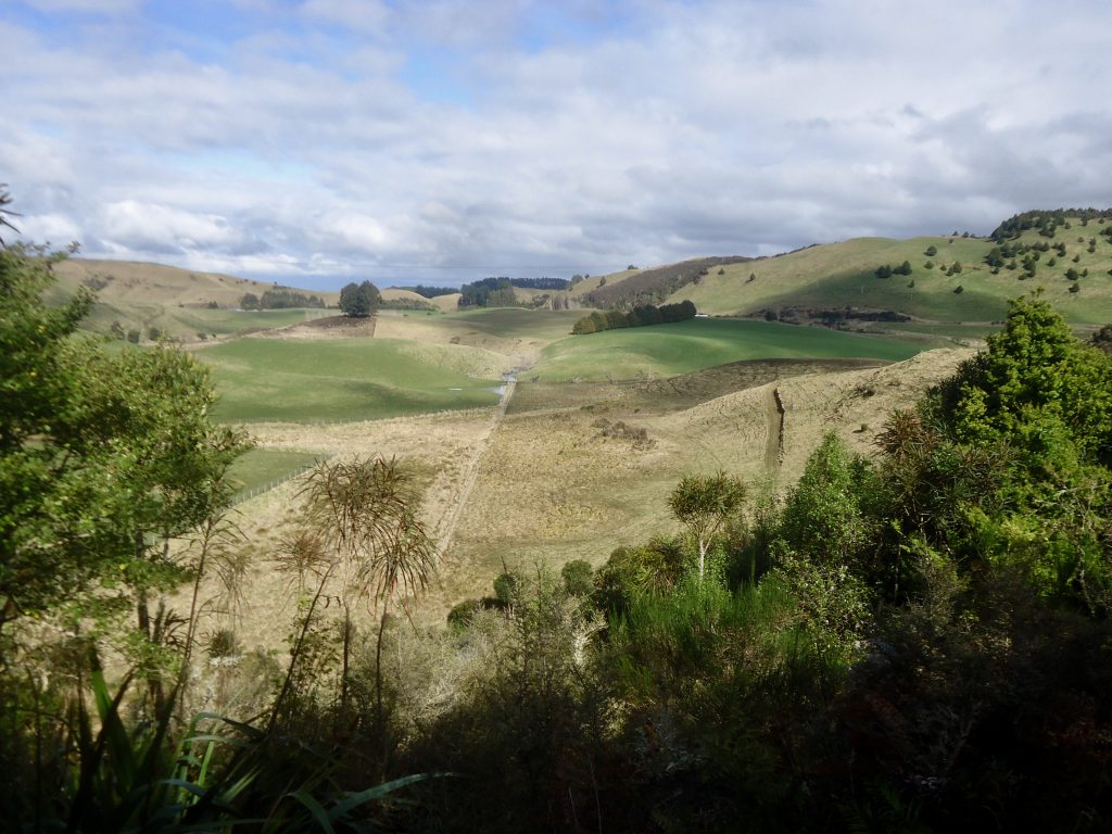
A couple of hours later we caught glimpses of farmland through the bush, and then just had a few more ankle-deep patches of mud to navigate before squelching back across the paddocks and to the car.
Timings:
- Wellington to Taihape – 3 hours
- A further 10 mins to drive to the spot where you park to access the track
- About 4 hours approx each way – a lot of time was taken to negotiate muddy, slippery bogs and for careful footwork to prevent falling down the steep sections.
Thanks for the trip report Mandy, including the helpful recommendation to wear gaiters 🙂
I walked to Zeke’s hut as a day walk March 2024. Despite the dry summer, there were still several wet and muddy bogs. However, a nice little hut in the middle of nowhere so worth the effort.
I agree with the group’s view about DOC’s traveling time. The upper end of the range (3.5 hrs) may be right with a day pack but won’t be for some with an overnight pack.
DOCs description of the track may read it’s an all-weather / all-season track. However, given the swampy marsh paddock, the muddy bogs and the two particularly steep sections (especially when wet, and therefore slippery), some might not think so.
We never came across a small stream DOCs description refers to, but one may well show itself in winter/spring. DOCs description doesn’t mention the swing bridge, but it is marked on the Topo Map.
Distance from SH1 to the hut return was 14kms. Elevation: lowest 744m; highest 1119 with 790 ascent/ descent.