

Tapokopoko to South Saddle
‘Where is the Tapokopoko scree slope? The map shows it is right here.’
‘The map lies. I reckon the cheeky aliens stole it out from under us and planted a whole forest of trees instead!’
Tony and I were standing on the edge of the supposed ‘scree slope’ that was marked on the topo map to the north-east of the summit of Tapokopoko, in the Remutaka Forest Park. All we could see was bush and not a single bit of scree in sight. The GPS confirmed that we were indeed in the right place so we were trying to come up with theories on what had gone wrong. My theory was aliens. We knew that they were around and we had been plagued by them on a previous Remutaka trip (see here).
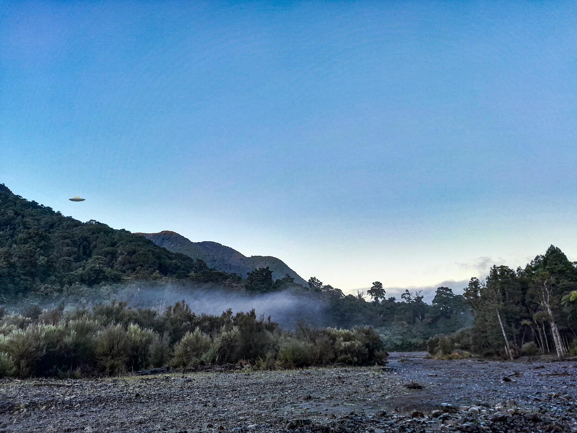
We had started walking just after 6am that morning, to make use of the winter opening hours—which are written on the Catchpool Remutaka FP car park gate. It was a beautiful morning in the valley with low mist hanging about. We made it to Paua Hut in good time. The river was a little higher than normal but still easily crossable.
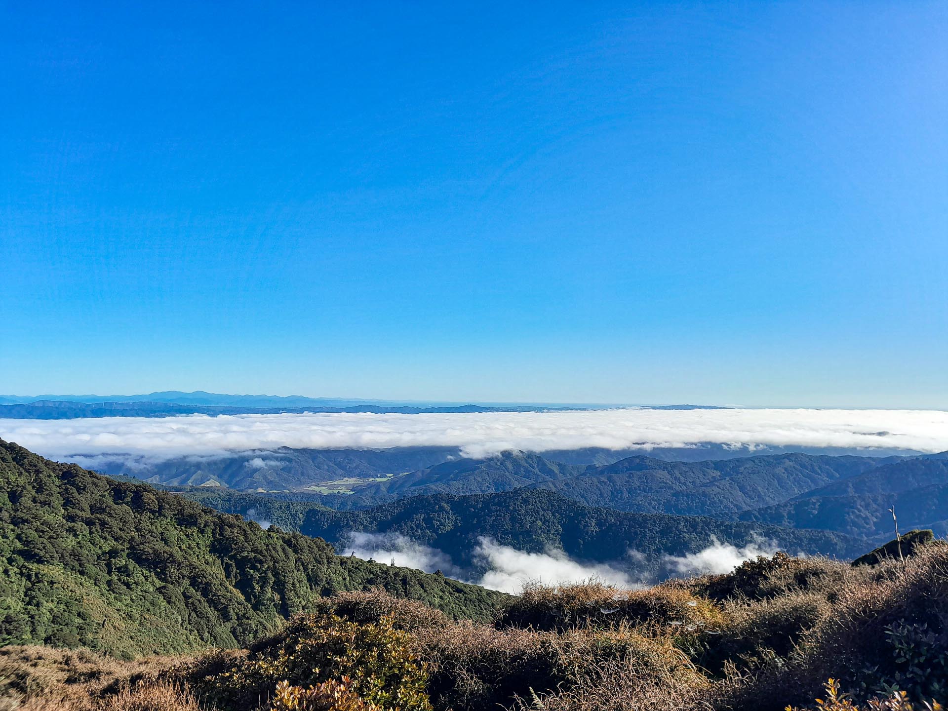
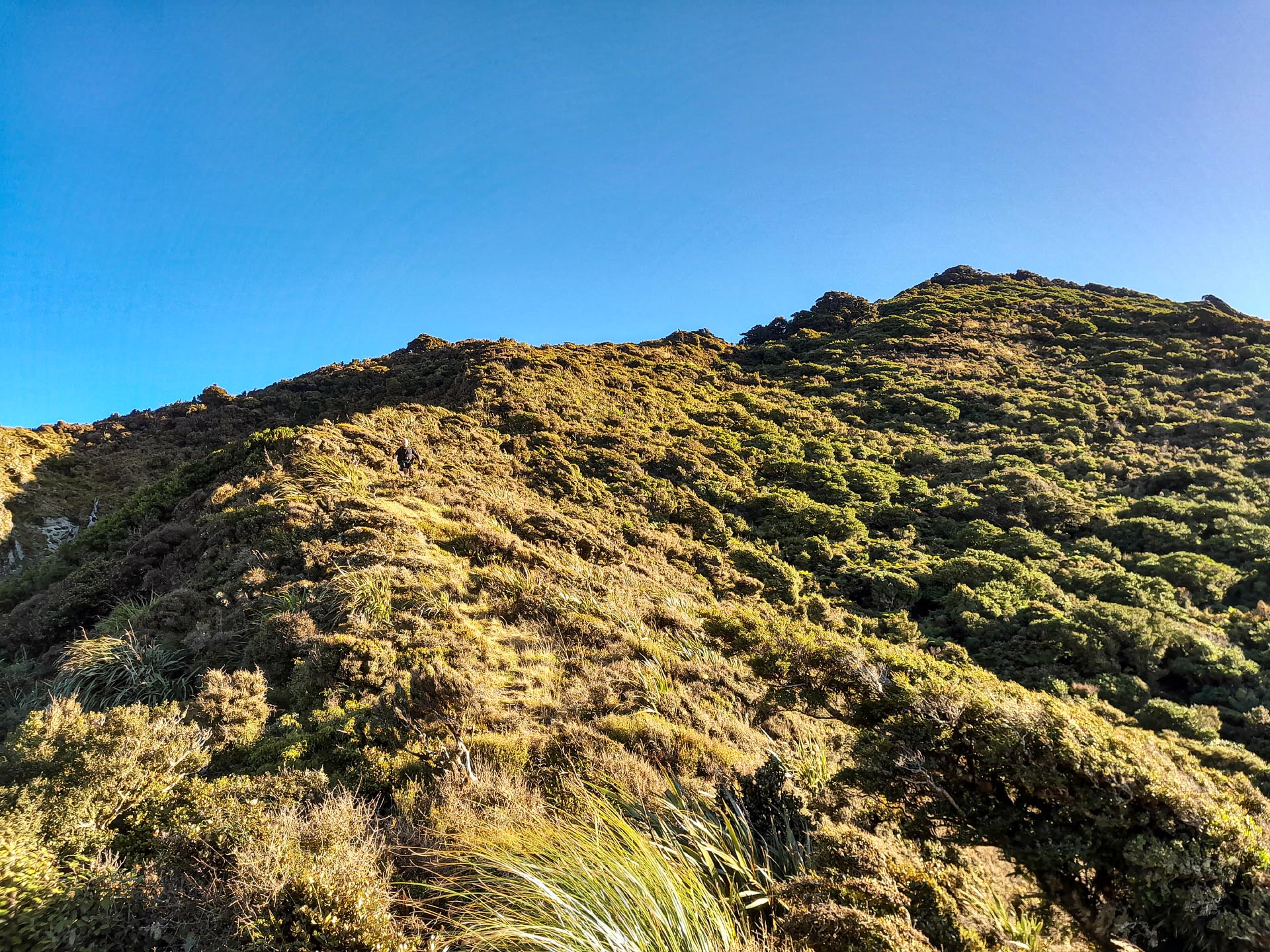
From Paua Hut it was a climb up Paua Ridge following the pink trapline markers. They are a bit sparse at first but are more frequent as you climb higher—almost like the person marking the trapline decided that their pack full of marking triangles was starting to get too heavy and started throwing out as many as possible. We finally made it to the summit of Tapokopoko which is marked by an old sign. From here there are triangles in two different directions—we followed the trapline markers going north-east along the ridge towards the ‘scree slope’ that was marked on the map above Tapokopoko Stream. It was a good foot trail and we made easy progress, enjoying being above the clouds.
Above our ‘scree slope’ finally, we bushbashed down until we were right on the edge of it and were surprised to find only trees and not a single bit of scree in sight. This threw us a curveball. We knew we didn’t have enough time to bushbash down to Tapokopoko Stream and get back to the Catchpool before the gate closed at 6pm as we had counted on having a scree slide to aid a quick descent. We backtracked up to the ridge and sat in the sun discussing our options. We could go back or take a gamble and hope the trapline we were on would continue all the way to South Saddle.
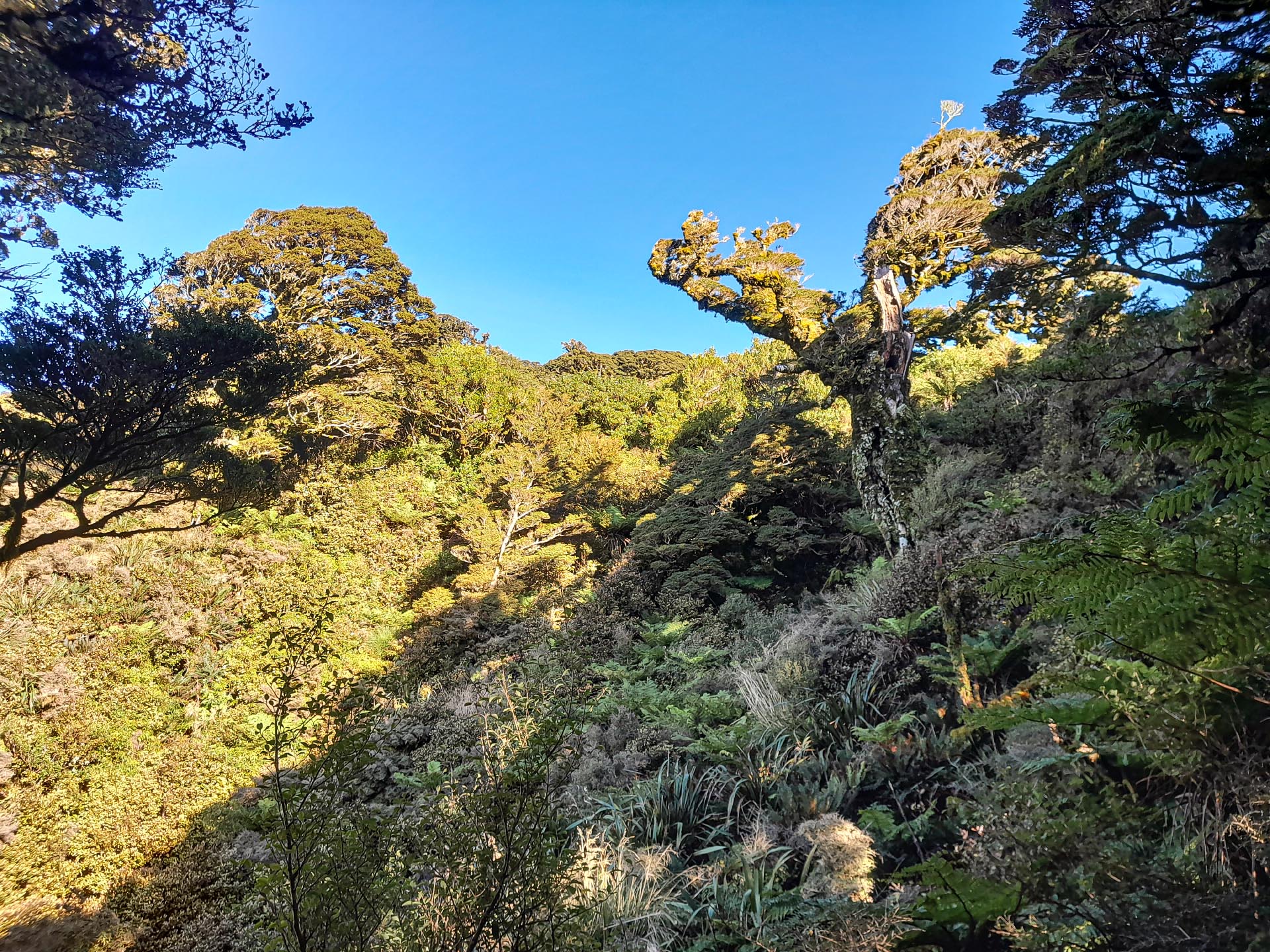
We decided on being adventurous and following the trapline. We were rewarded with lots of birds along the way, I got stuck in some mud and pretended to be an ogre and told Tony to get out of my swamp and had a ‘fun’ time getting tangled in bush lawyer that Tony helpfully pointed out can also be called ‘Wait a While’, after I spent a few minutes trying to untangle myself from a bunch of it. The foot trail was good and well-marked with the trapline pink triangles and ribbon.
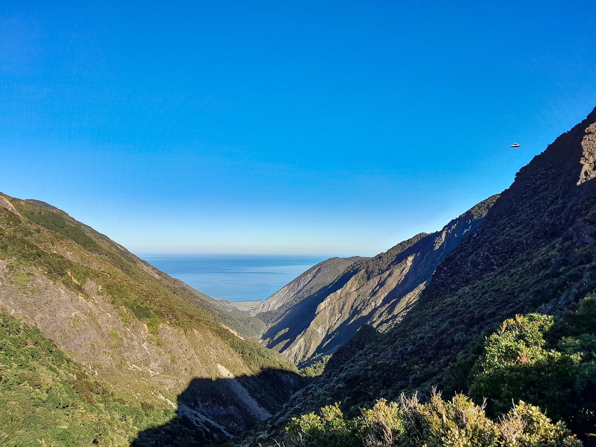
We eventually made it to South Saddle for a late lunch, enjoying good views down to the Mukamuka and Orongorongo Valley before we started our descent. I found it interesting seeing how Matthew’s Stream and the valley had changed over the past year since I had last been there.
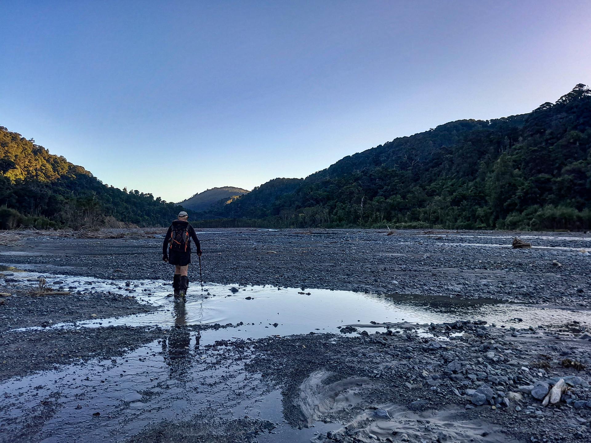
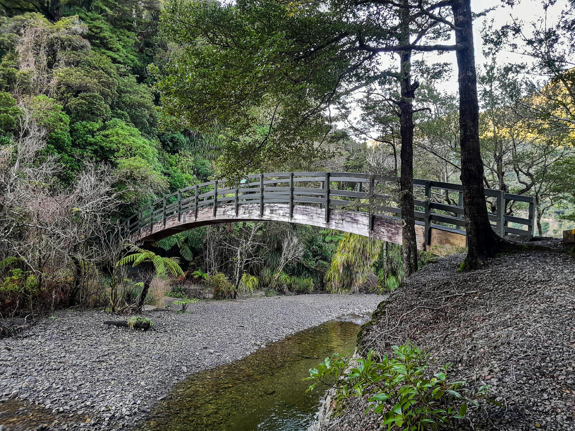
From here it was an easy walk back down the river to ‘Banana Bridge’ (aka Turere Bridge) as I call it before we motored along Orongorongo Track to the carpark—getting out with 20 minutes to spare before the gate closed.